







Lägern ridge hike

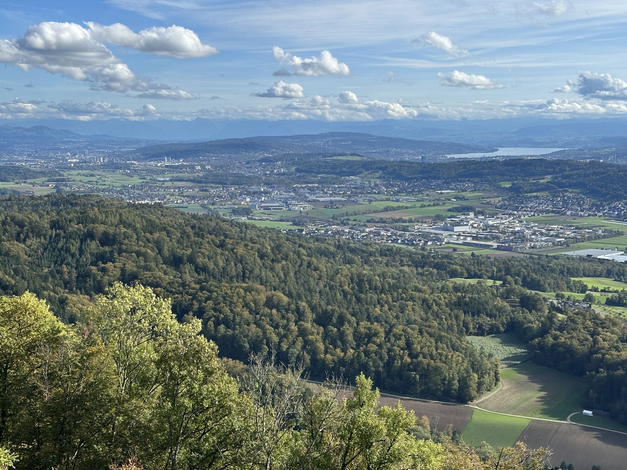
Starting over the covered wooden bridge up to Schartenfels, the route heads towards Lägern. The highlight of the hike is the narrow ridge path on the spine of the Lägern, from where you can enjoy a magnificent...
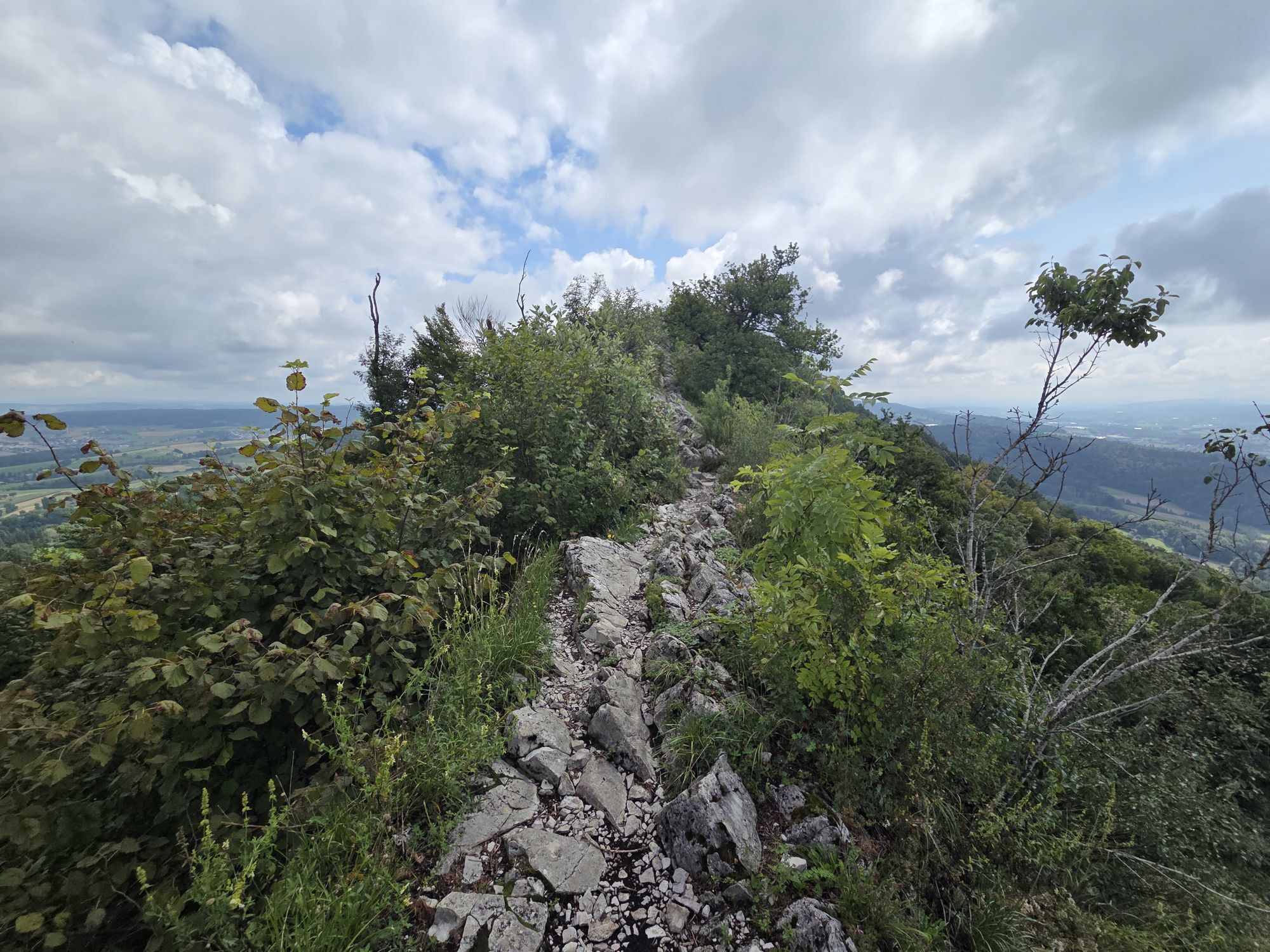
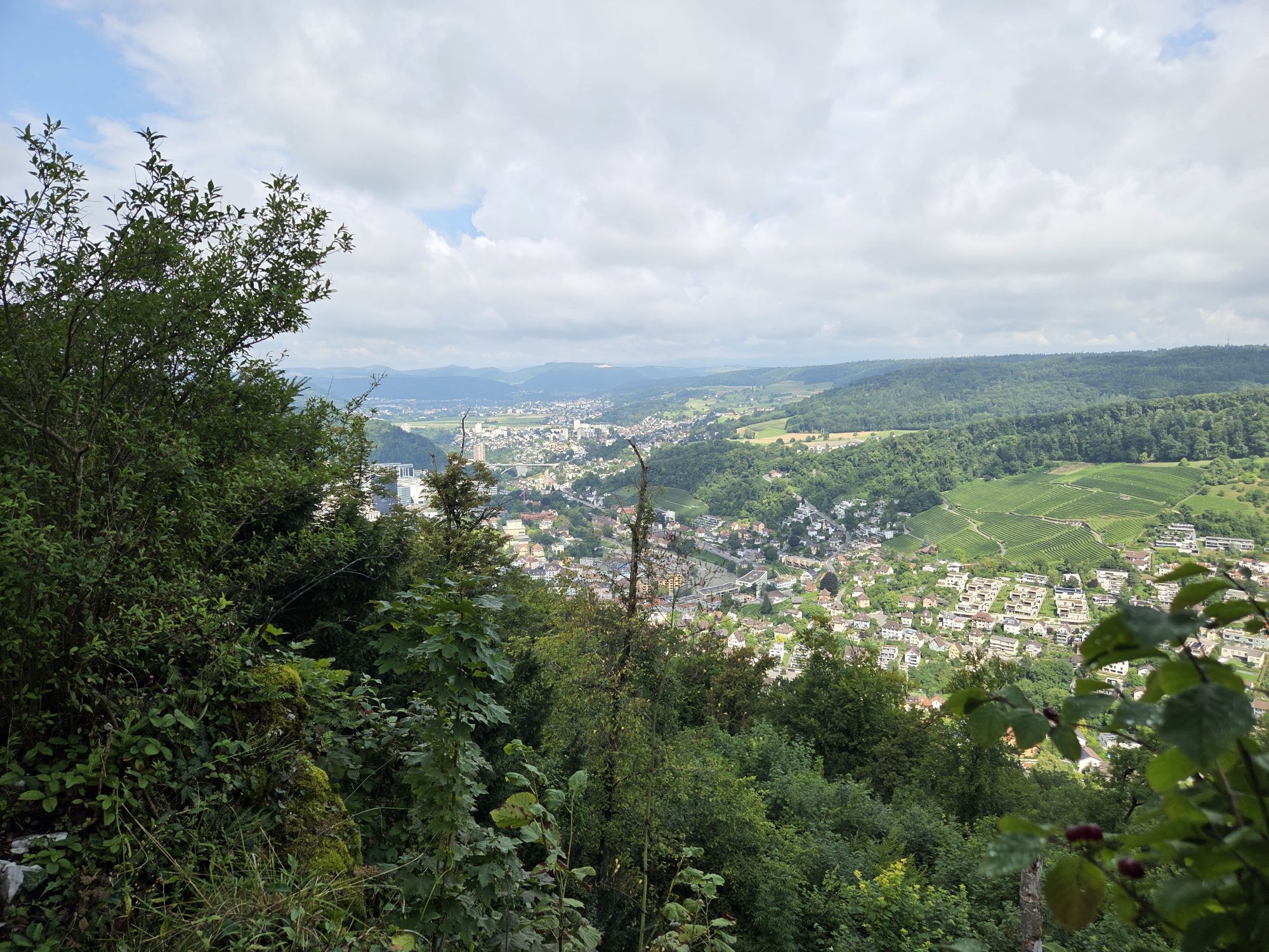
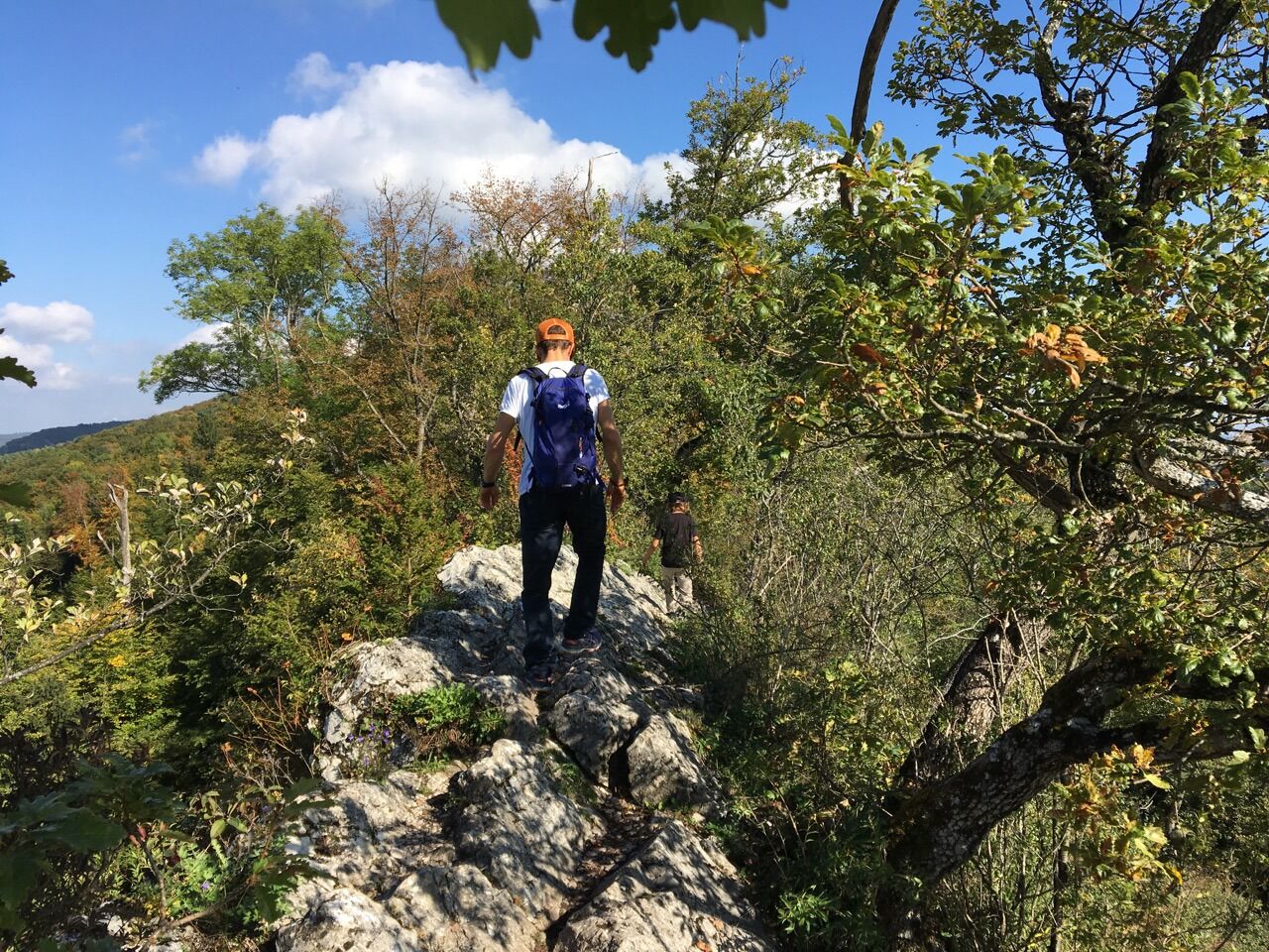
Starting over the covered wooden bridge up to Schartenfels, the route heads towards Lägern. The highlight of the hike is the narrow ridge path on the spine of the Lägern, from where you can enjoy a magnificent view. Caution is advised, as the trail is an "exposed path." Traversing it requires some caution, surefootedness, and good footwear.
The picturesque Regensberg is the destination of this hike and offers many discoveries in return. By the way, the hike can also be done in the opposite direction, allowing you to end your excursion in Baden.


At Baden train station, we head to the station square to the central signpost location for the terrace above the Limmat. You could take the promenade lift down between the trees to the Limmat and then reach the wooden bridge to the right along the river path. However, we stroll to the right through the pedestrian zone into the lovely old town, walk through the city gate, and down the stairs toward the Limmat.
Crossing the covered wooden bridge, we reach the other side of the Limmat, passing the Landvogteischloss—often mockingly called the "melon slice" due to its modern museum extension. It houses the Historical Museum of the city of Baden with its extensive historical collection. Additionally, important prehistoric and Roman finds from the city and district of Baden are exhibited.
After passing under the bridge, we climb beside the rocky spur of the Lägern ridge on the stairway to Schartenfels castle. Here the route splits into two almost equally long paths:
Difficult:
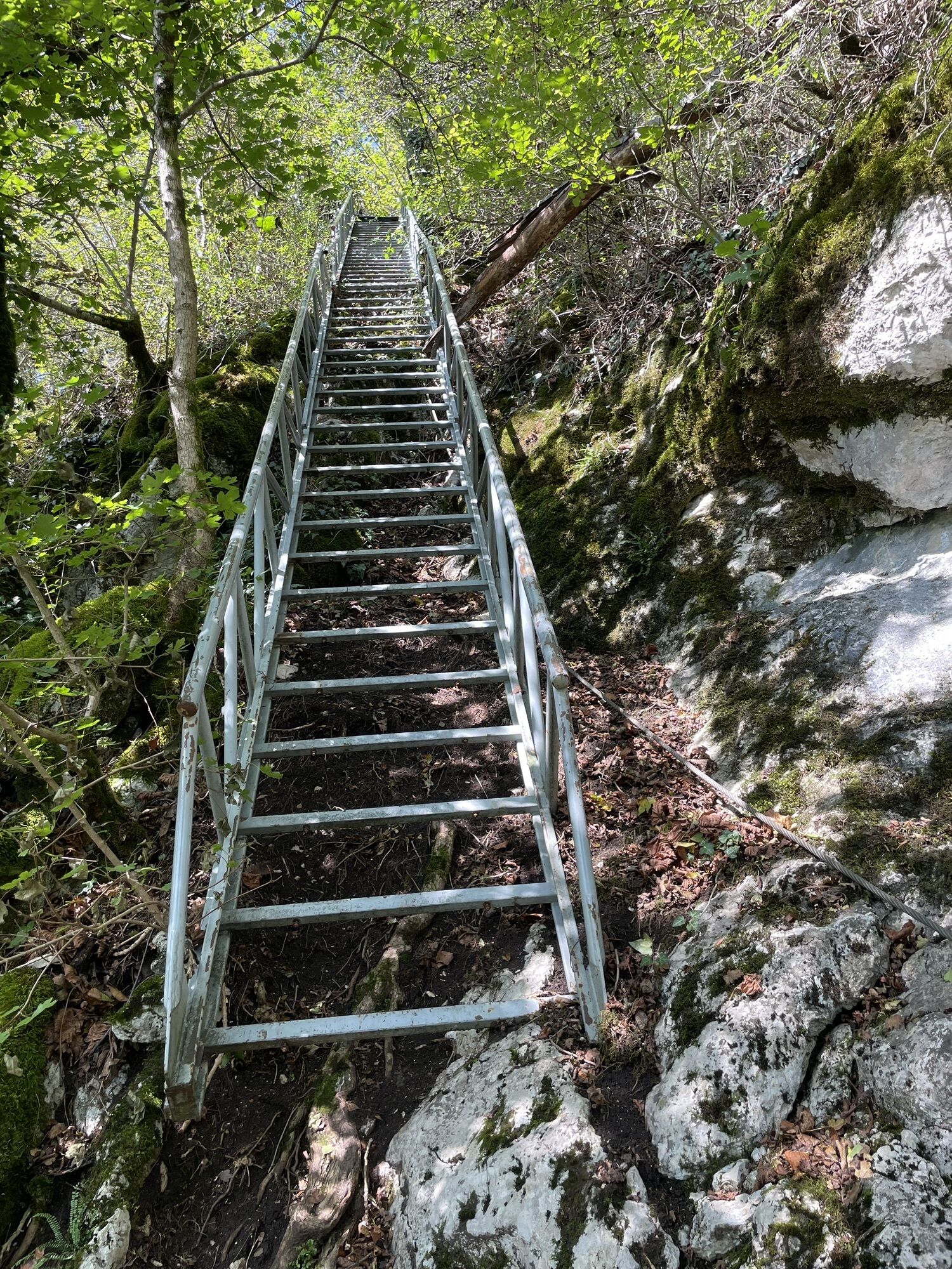
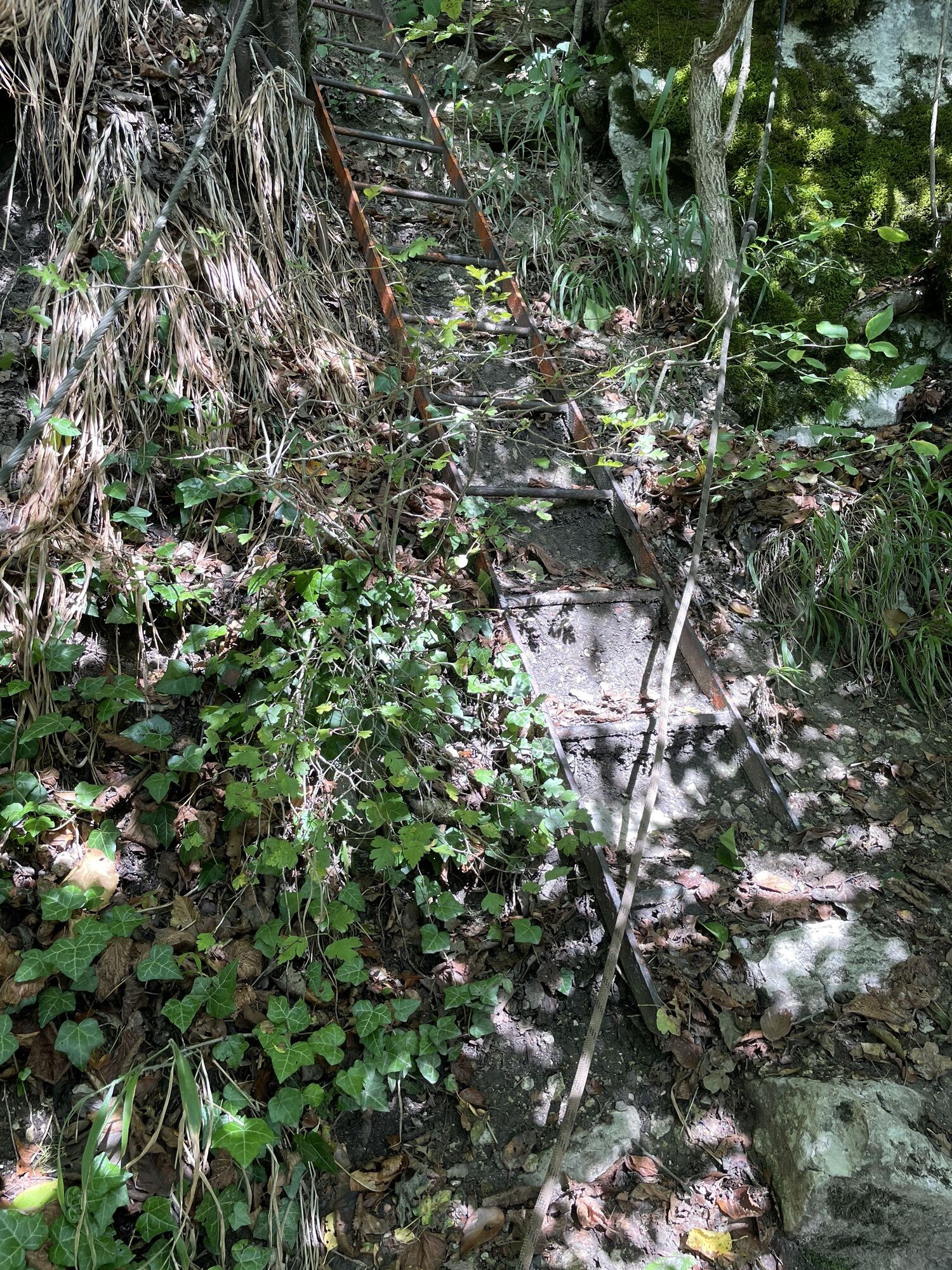
The exciting ridge path ascends to the right at the Schartenfels ruins. This section is rocky, strenuous, sometimes quite exposed, and dangerous when wet. Not recommended for families with children or hikers with dogs.
Easy:
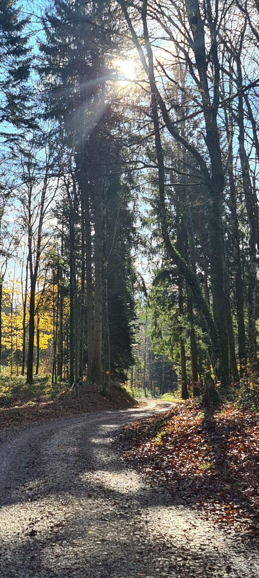
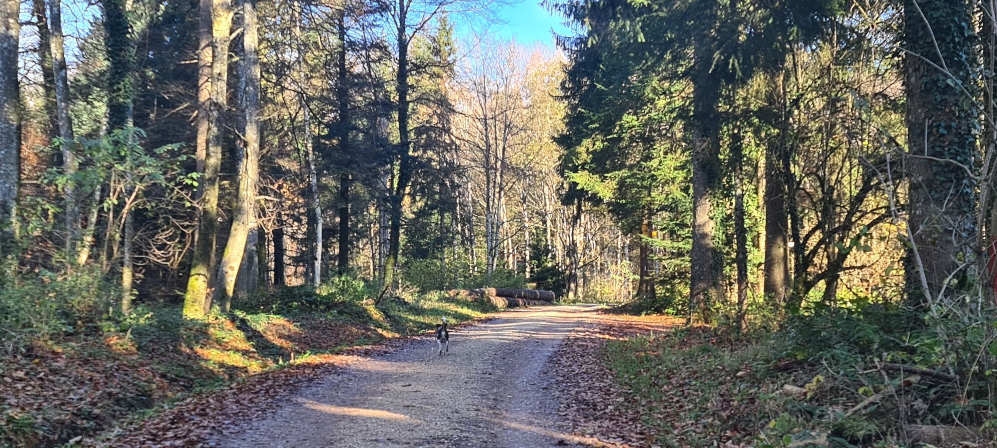
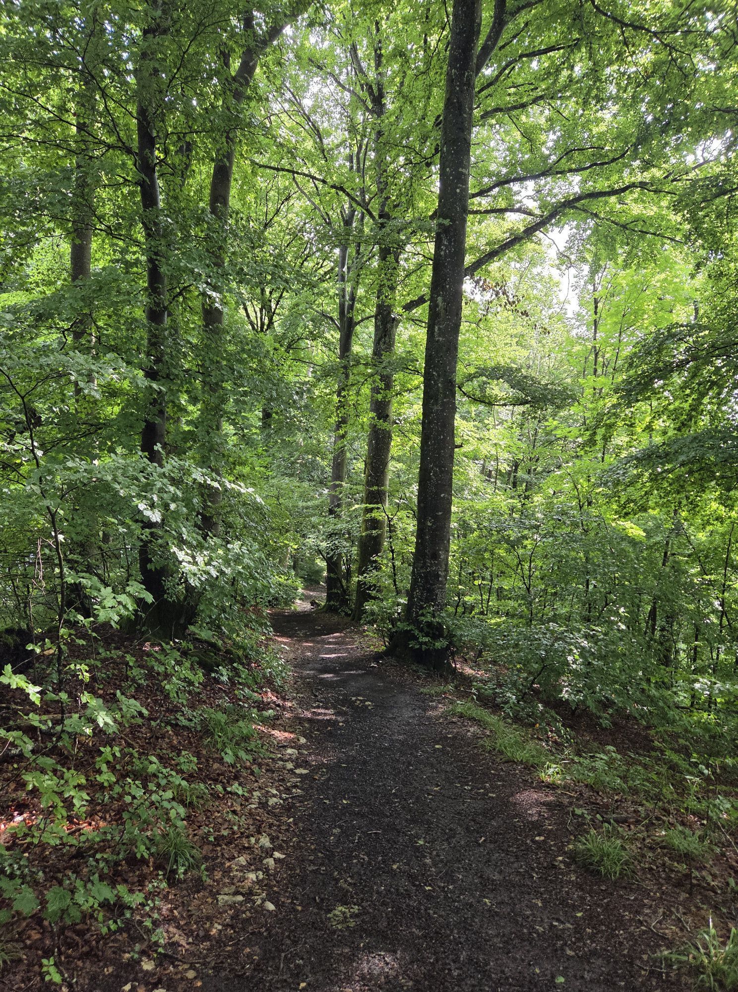
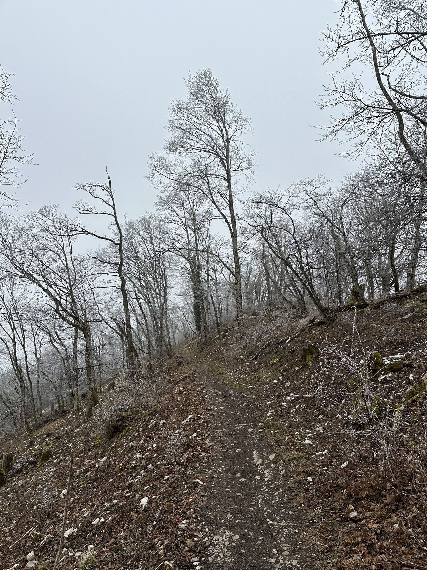
The roughly equal-length forest path leads left around Schartenfels, descending about 80 steps down through the forest, then around the slope and upwards through beautiful beech woodland. We pass the Chaltbrünneli rest area; spring, brook, forest hut, fire pit. Here you can sometimes observe locals collecting water; it is said to be famous for its mineral content. Always gently uphill in the same direction. The last fifteen minutes before the Lägeren saddle get steeper: narrow path with some stairs.
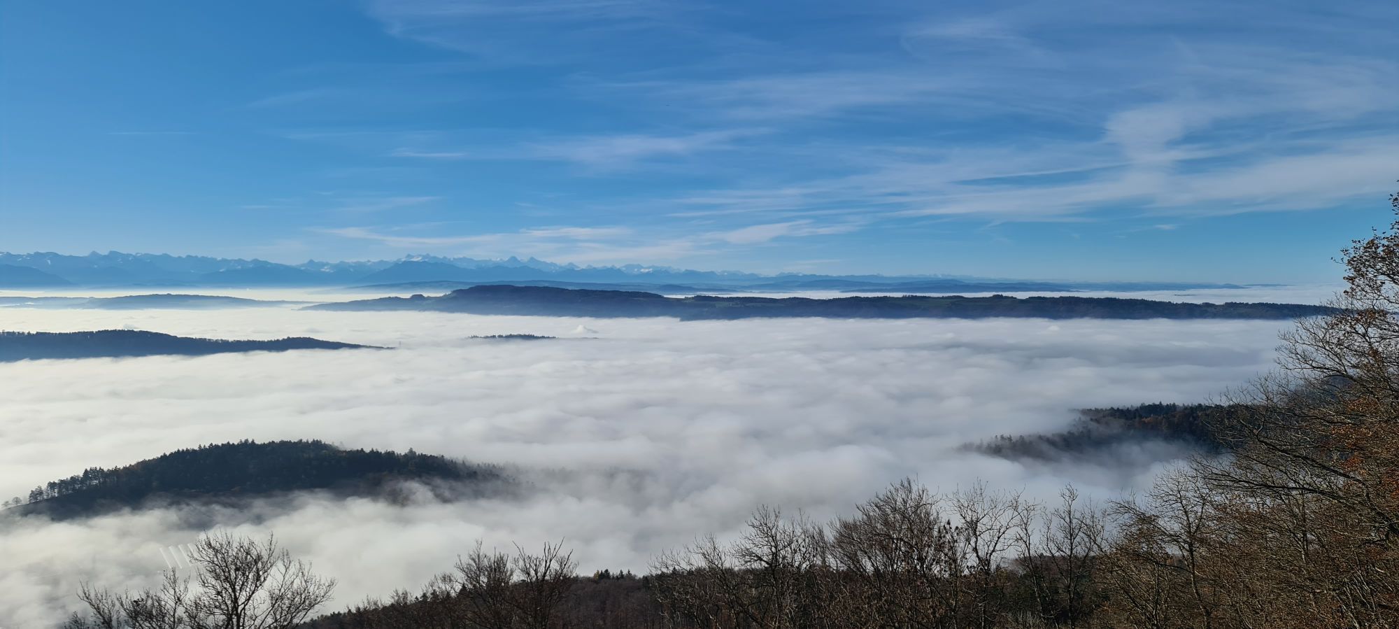
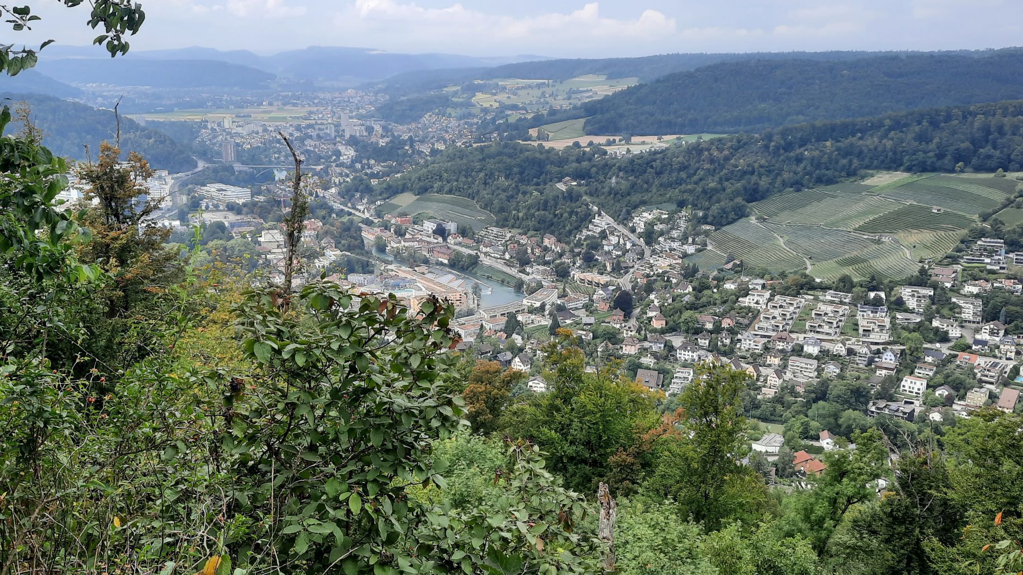
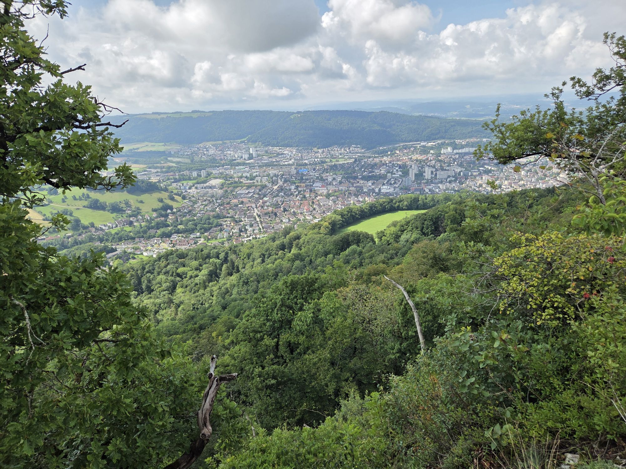
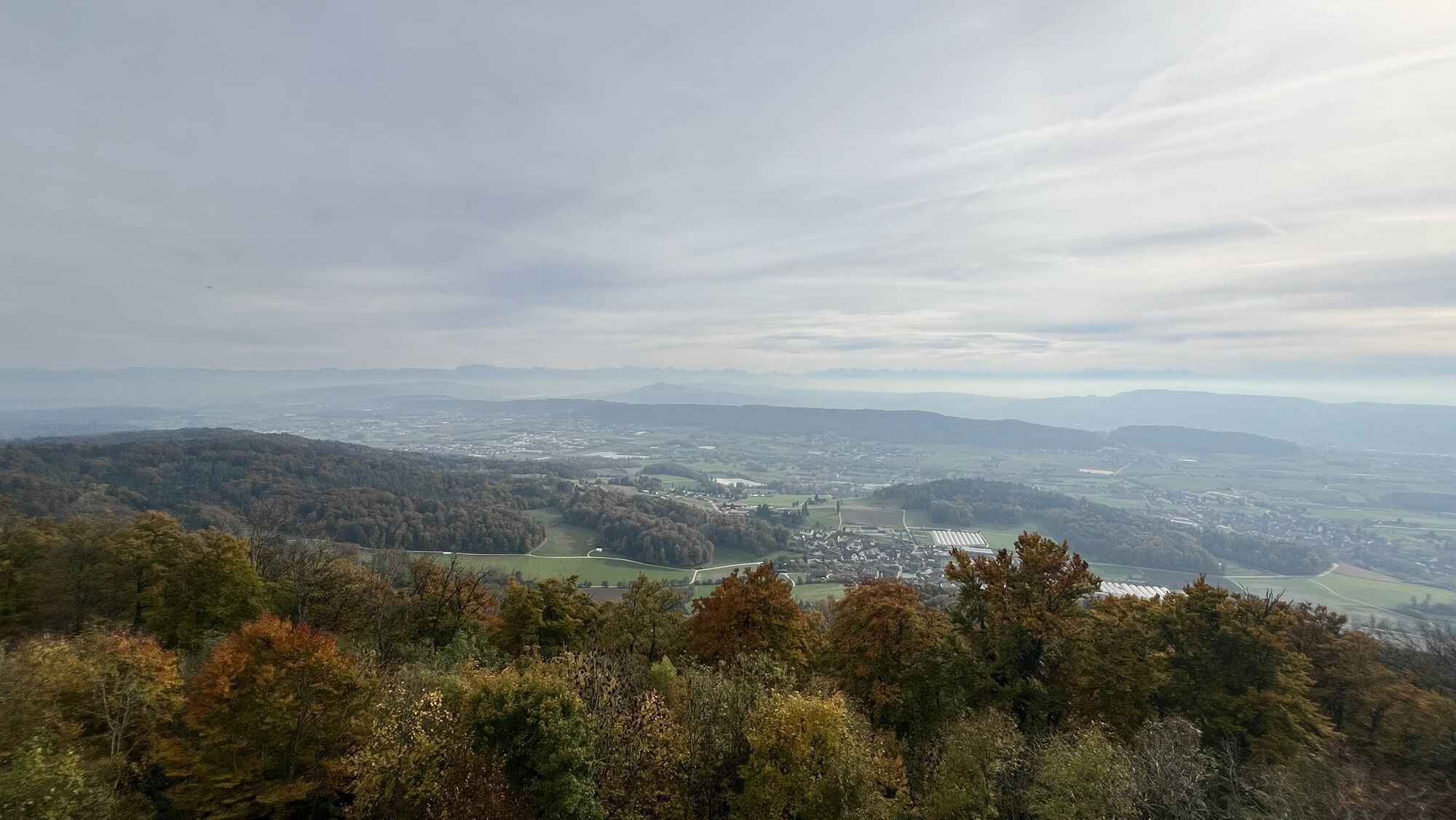
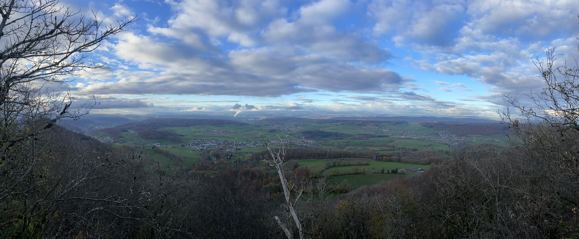
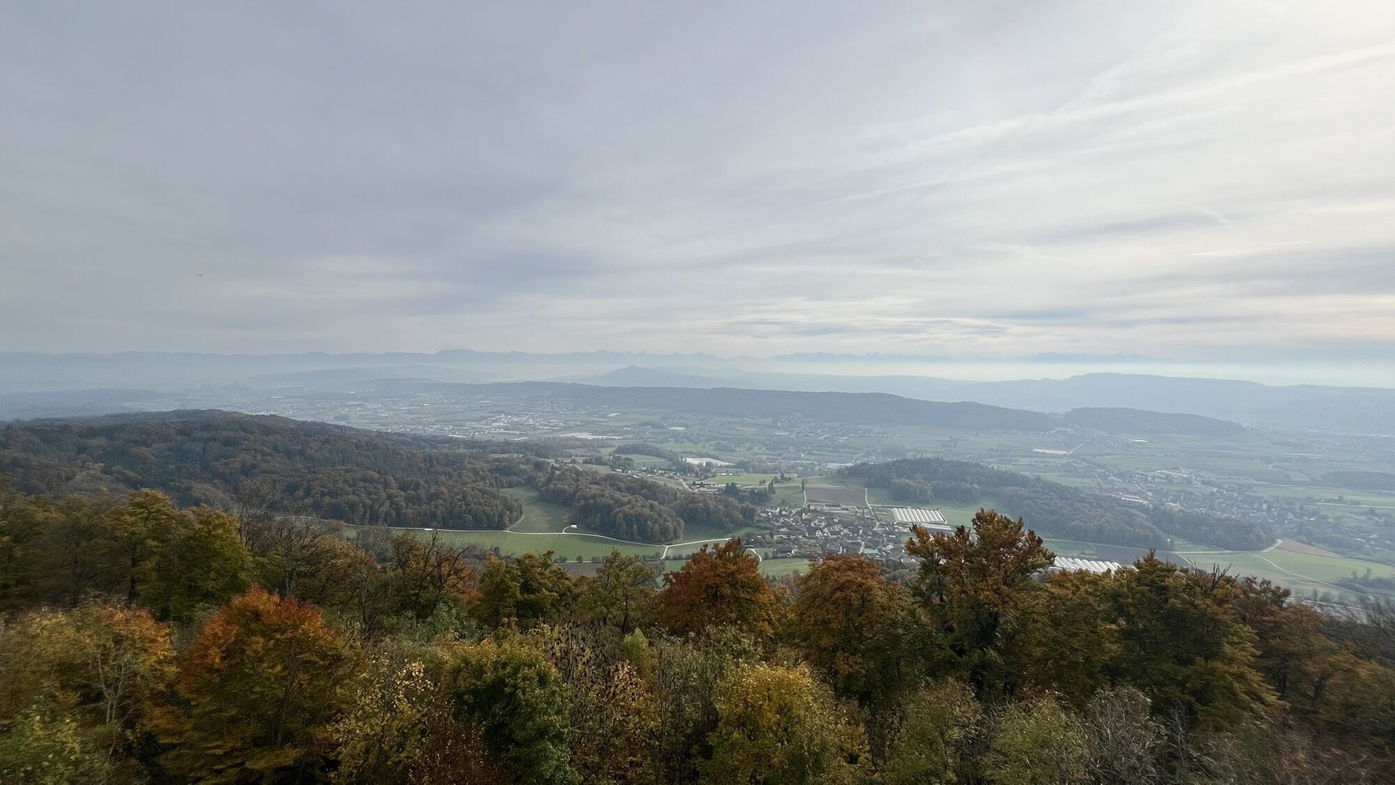
At the Lägeren saddle signpost, both variants meet. From the trail, we look down into the former gypsum quarry of Oberehrendingen. The quarried rock was partly burnt or used as fertilizer. Upwards leads to the first important viewpoint, the Lägeren Burghorn. At the benches, enjoy a rare panoramic view in all directions, from the Alps to the Black Forest and Hegau.
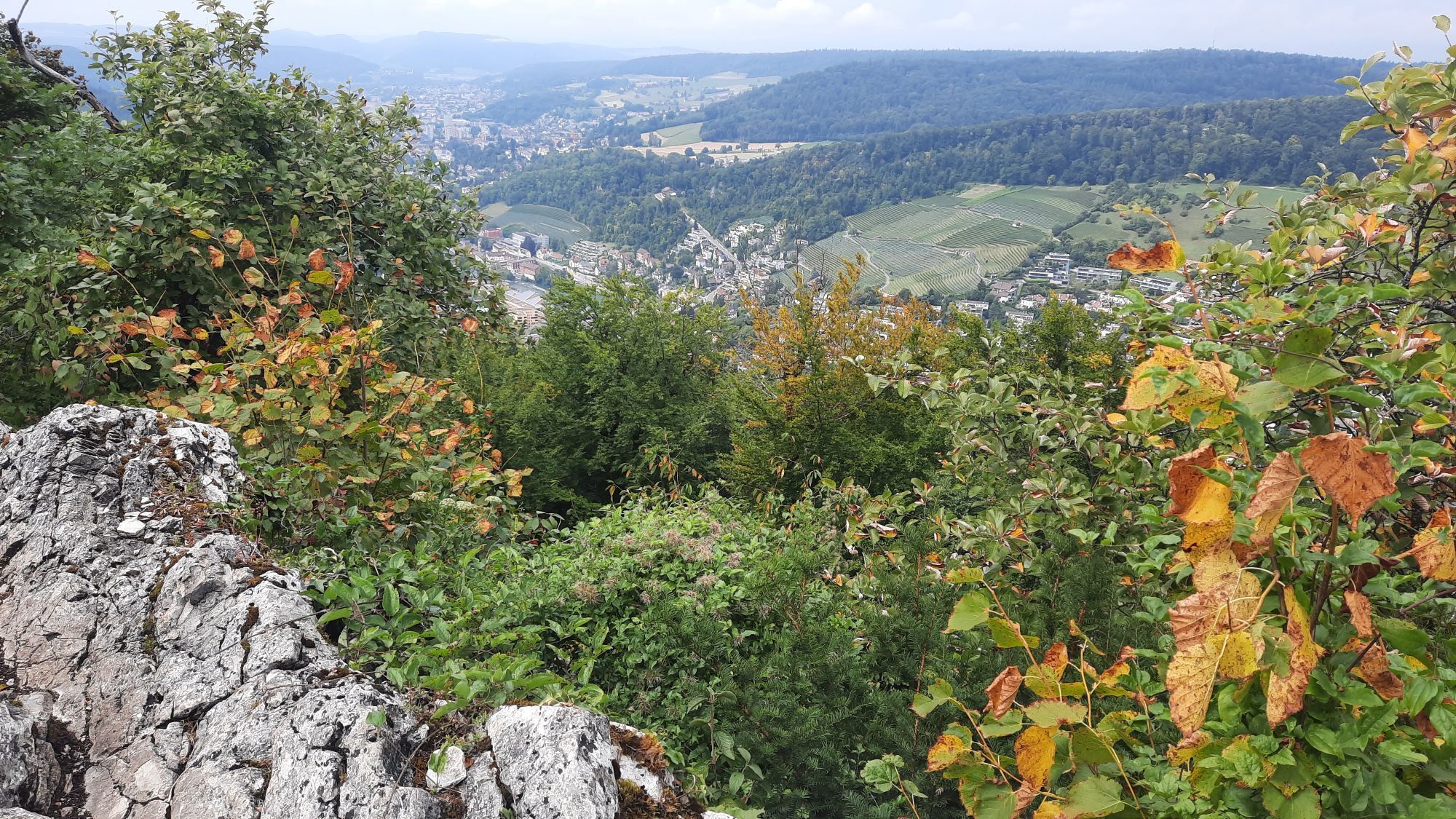
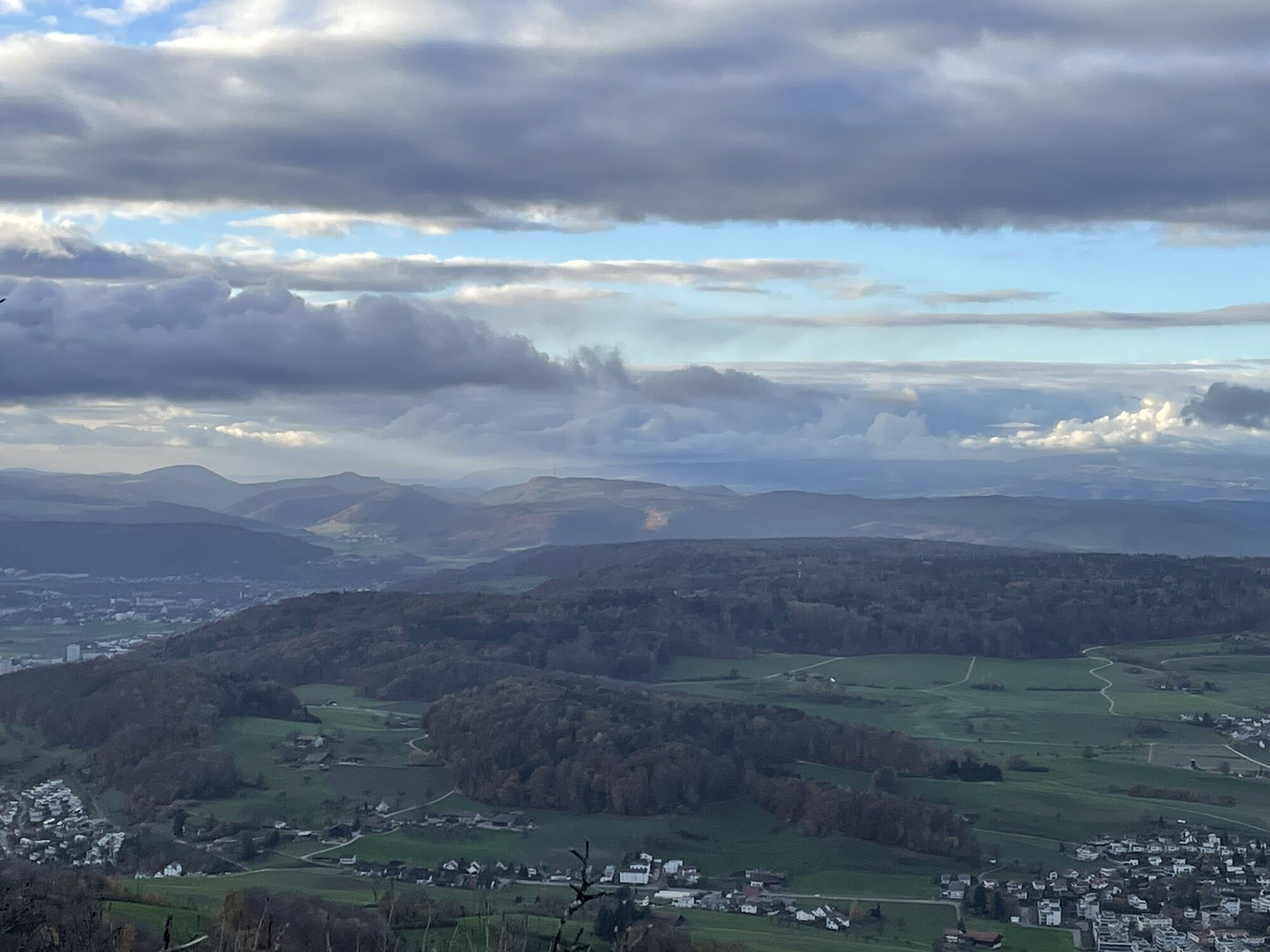
Now we cross the Aargau/Zürich canton border; initially, we hike on rocky but not exposed ridge paths; still, caution is necessary not to trip over stones. Repeated beautiful views on both sides of the ridge. In May, orchids can be seen here, as well as the special flora of the limestone rock. Later, the path leads somewhat below the ridge along the forest slope to the Alt Lägeren ruin, the former castle of the barons of Regensberg, destroyed in 1267. Still visible is the 67 m long moss-covered surrounding wall.
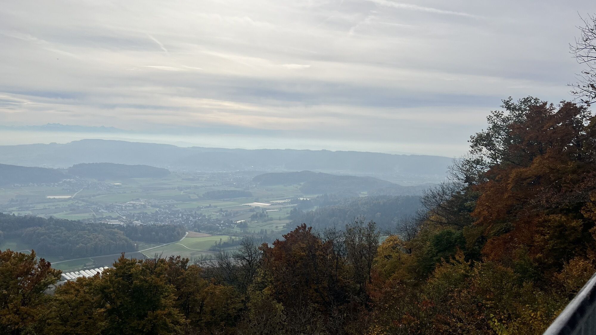
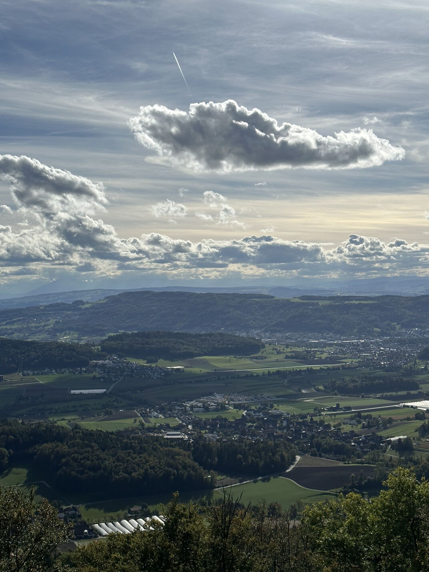
The ridge hike, now on wide forest paths, continues to the Lägeren lookout, passing information boards about air traffic control, for which two tall antennas were built. At the lookout, enjoy a wonderful panorama from Säntis to the Jura (benches, panorama board). The lookout is named for the military alarm system that the Zürich government expanded, especially in the turbulent 17th century.
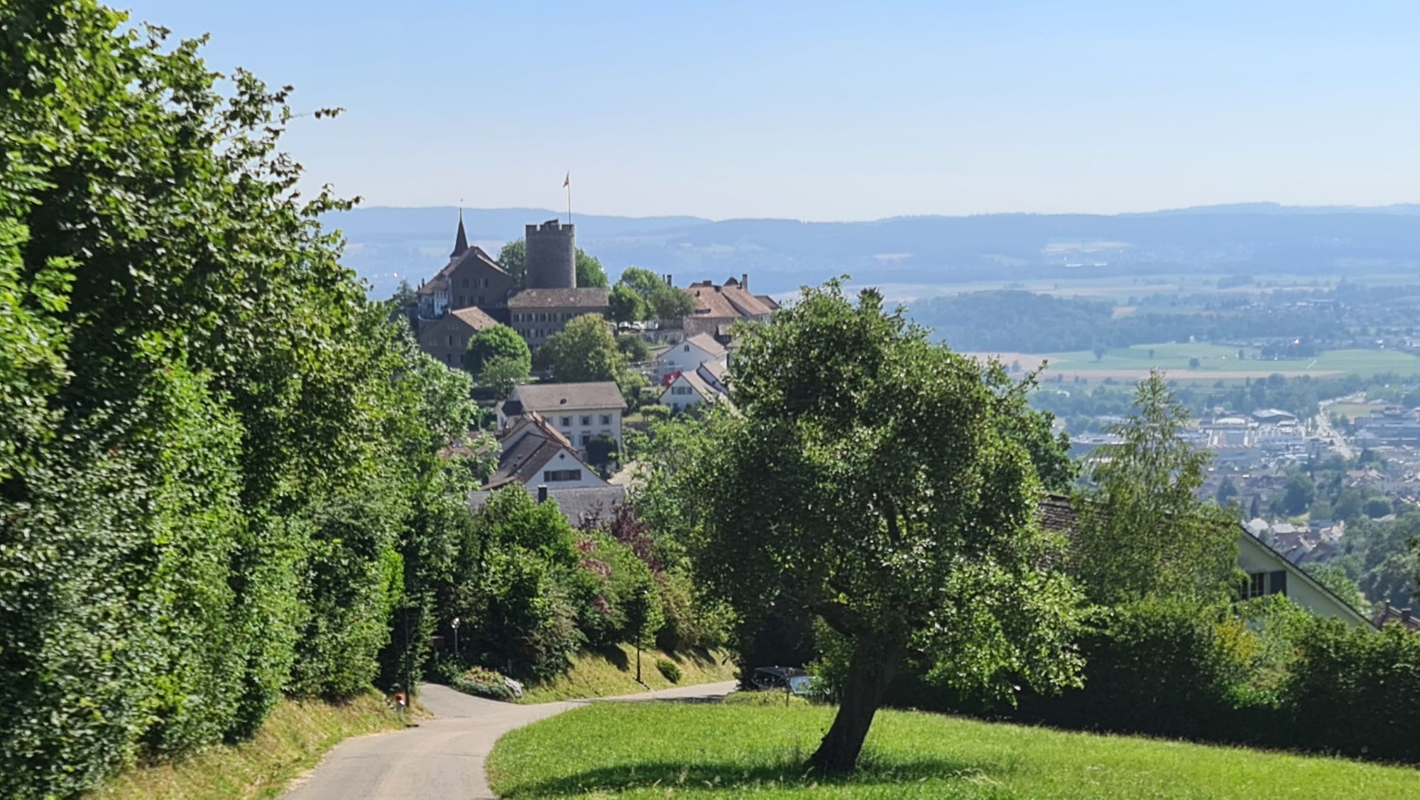
From the lookout, we walk on natural roads to the medieval town of Regensberg, through forest and alongside natural meadows. Lovely view of the town. In Regensberg, we pass a playground to the signpost near the Löwen restaurant, where the Regensberg bus stop is hidden to the left.
Da
Sturdy footwear is recommended
Parking spaces in Baden can be found here.
Start from Baden train station or from the Regensberg bus stop.

Spletne kamere s turneje
Pridobite vpogled Vedno v živo na mestu z več kot 9.500 spletnimi kamerami. bergfex Kot uporabnik Pro si lahko zdaj ogledate ustrezne spletne kamere za številne izlete v aplikaciji izleti iz. Tako si lahko neposredno ogledate trenutne razmere. Dejavnosti na poti

Otelfingen, Zürich/Schweiz
01.06.2026 – Tek
Regensberg, Zürich/Schweiz
03.05.2026 – PohodništvoRegensberg, Zürich/Schweiz
03.04.2026 – Pohodništvo
Regensberg - Lägern - Walhalla - Baden
01.11.2024 – PohodništvoRegensberg - Lägern - Baden
06.11.2021 – Pohodništvo
Gratwanderung im Mittelland
29.05.2021 – Pohodništvo
Priljubljeni izleti v okolici
- 3.8
Chänzeli -Tour: Eine Panorama - Stadtwanderung
svetlobaPohodništvo 7.81 km - 3.8
Rundwanderung Katzensee
svetlobaPohodništvo 3.93 km - 4.6
Lägern Rundwanderung
srednjaPohodništvo 13.0 km - 4.0
Gratwanderung über die Lägern
težkoPohodništvo 14.8 km - 4.0
Cross-border Rhine riverside path
svetlobaPohodništvo 7.81 km - 5.0
Schinznach Bad - Brugg, Schweiz
svetlobaPohodništvo 10.5 km Habsburg Route 5th stage: Mellingen - Bremgarten
srednjaPohodništvo 14.2 km- 5.0
Limmat Cultural Route
svetlobaTematska pot 8.77 km - 5.0
Bad Zurzach - Hörndli - Rekingen - Bad Zurzach
srednjaPohodništvo 9 km Bad Zurzach-Achenberg-Zurzacherberg-Bad Zurzach
srednjaPohodništvo 8.74 km
Pohodništvo in sledenje


Ne zamudite ponudb in navdiha za naslednje počitnice
Vaš e-poštni naslov je bil dodan na poštni seznam.





