






Sattel-Hochstuckli summit circular trail
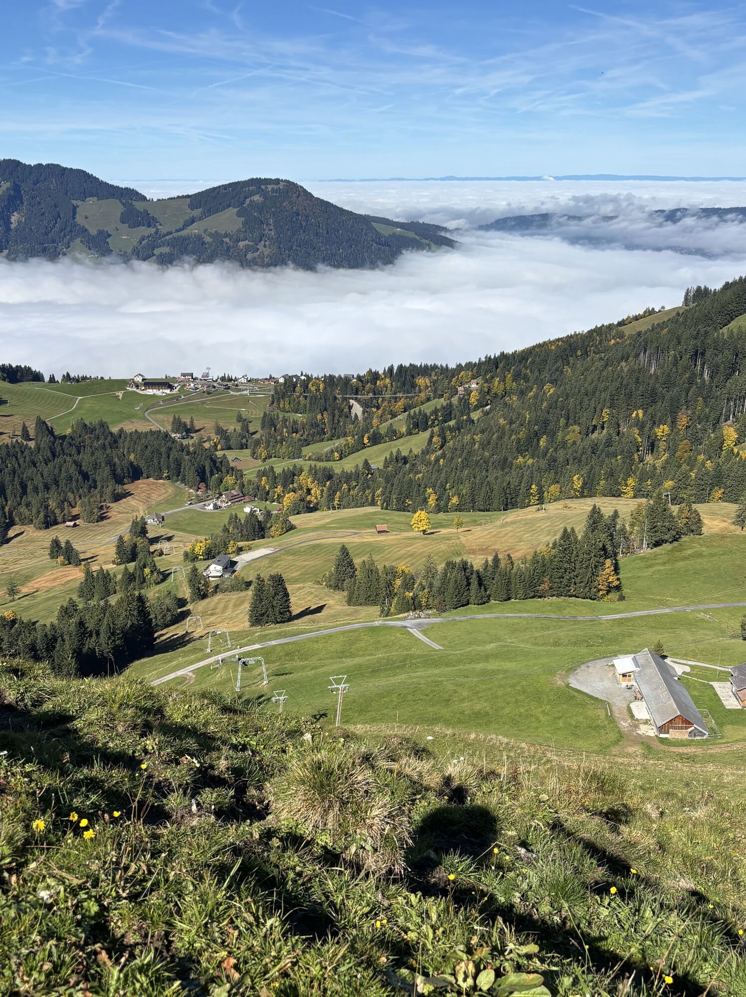
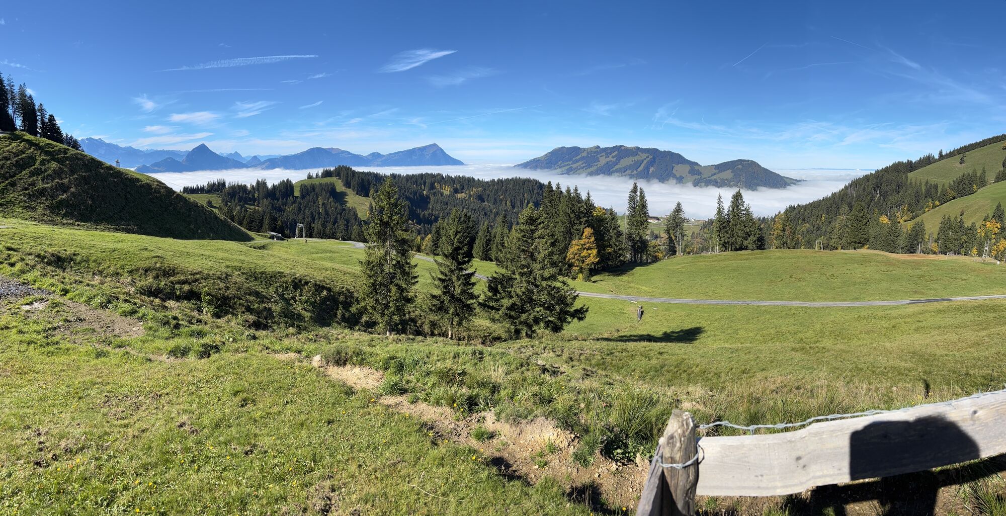
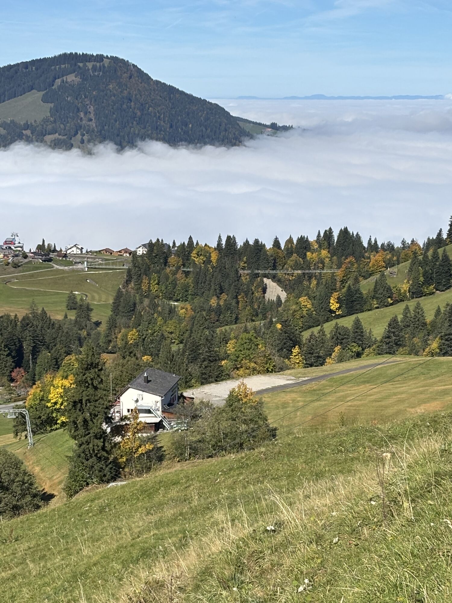
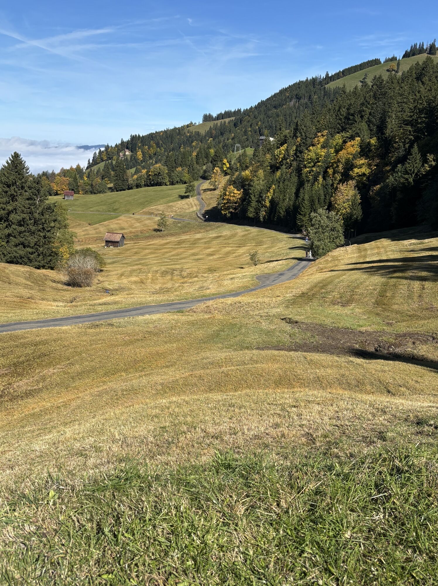
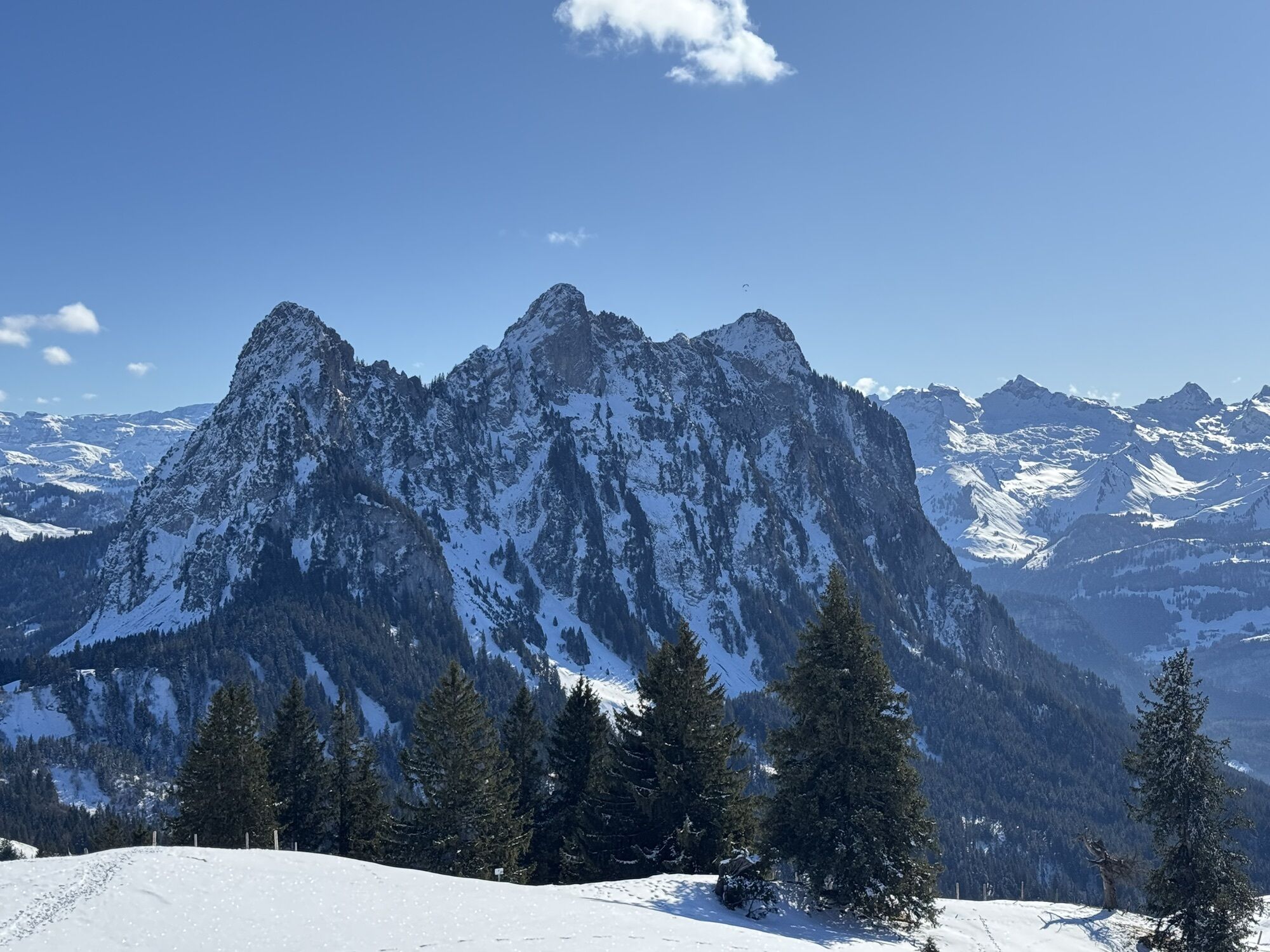
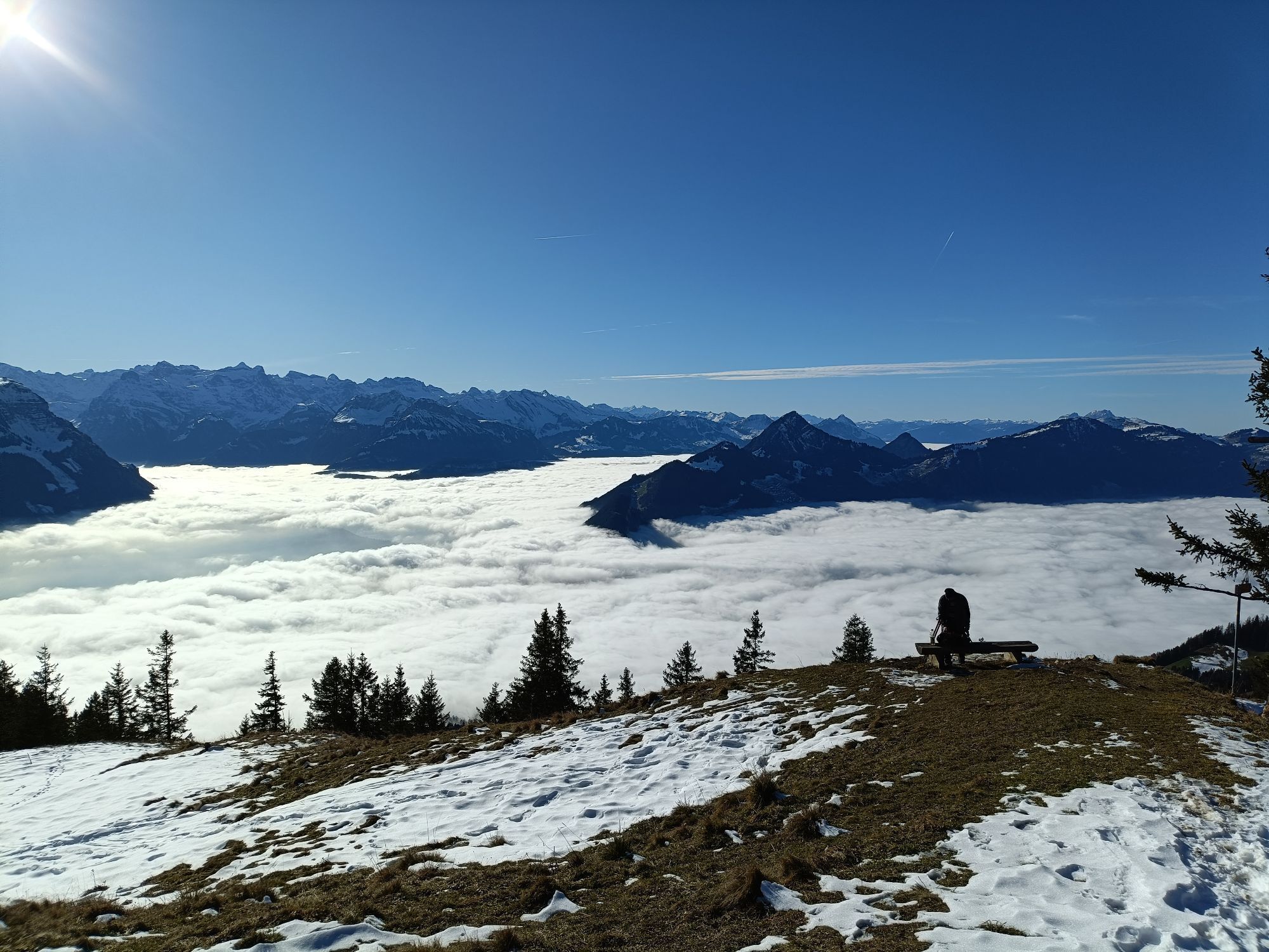

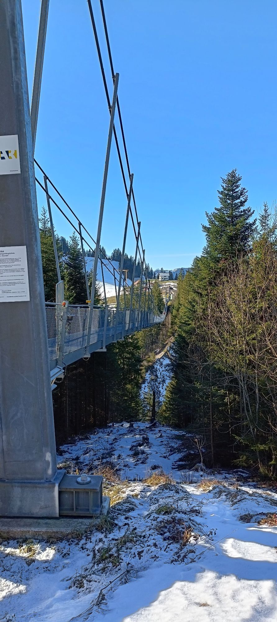
The trail through the varied pre-alpine landscape leads hikers from the Mostelberg mountain station to the local mountain of Sattel-Hochstuckli. The circular hike begins after a ride on the world's first...
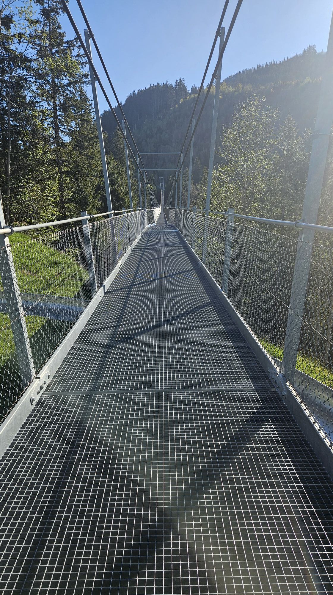
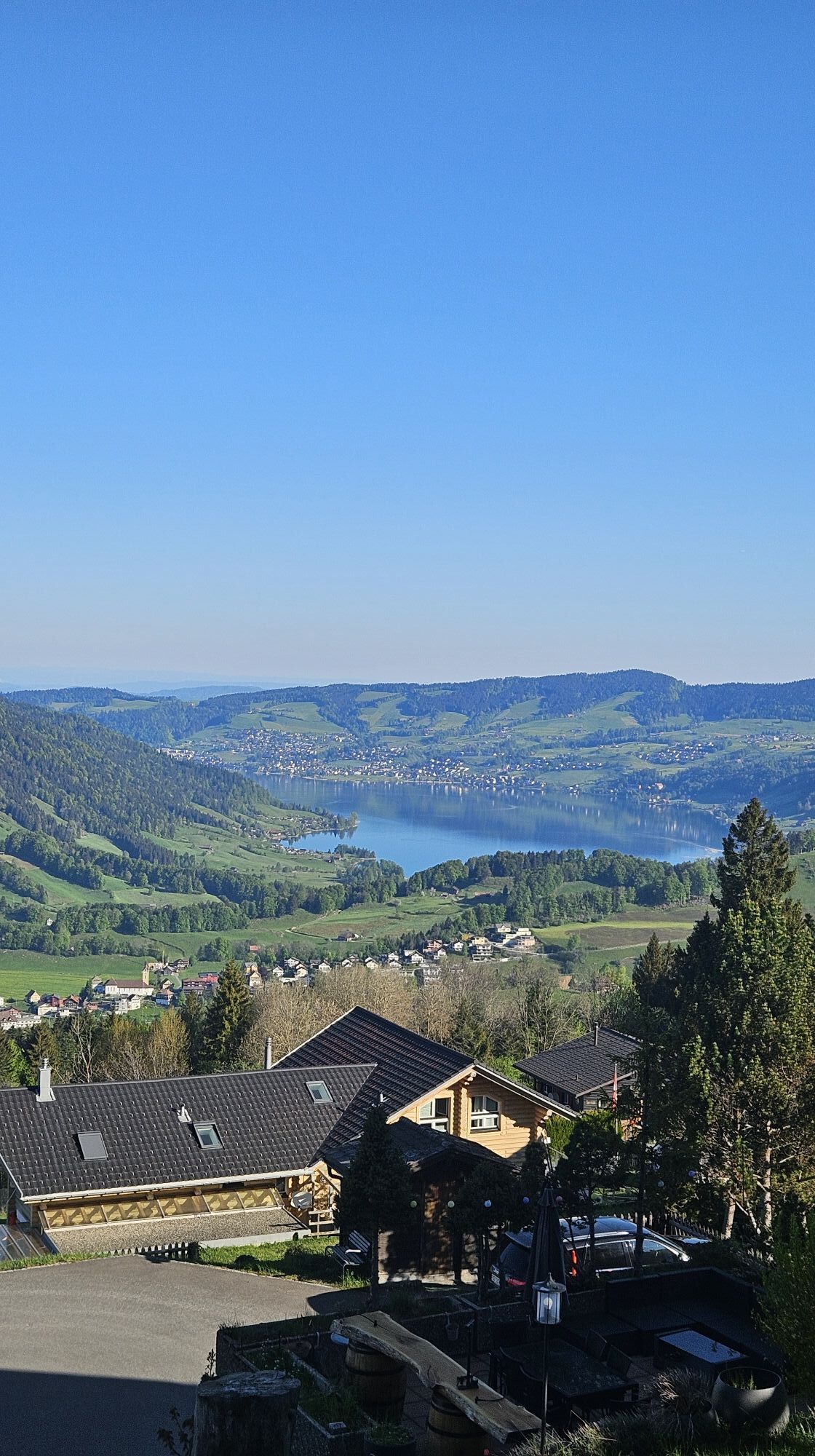
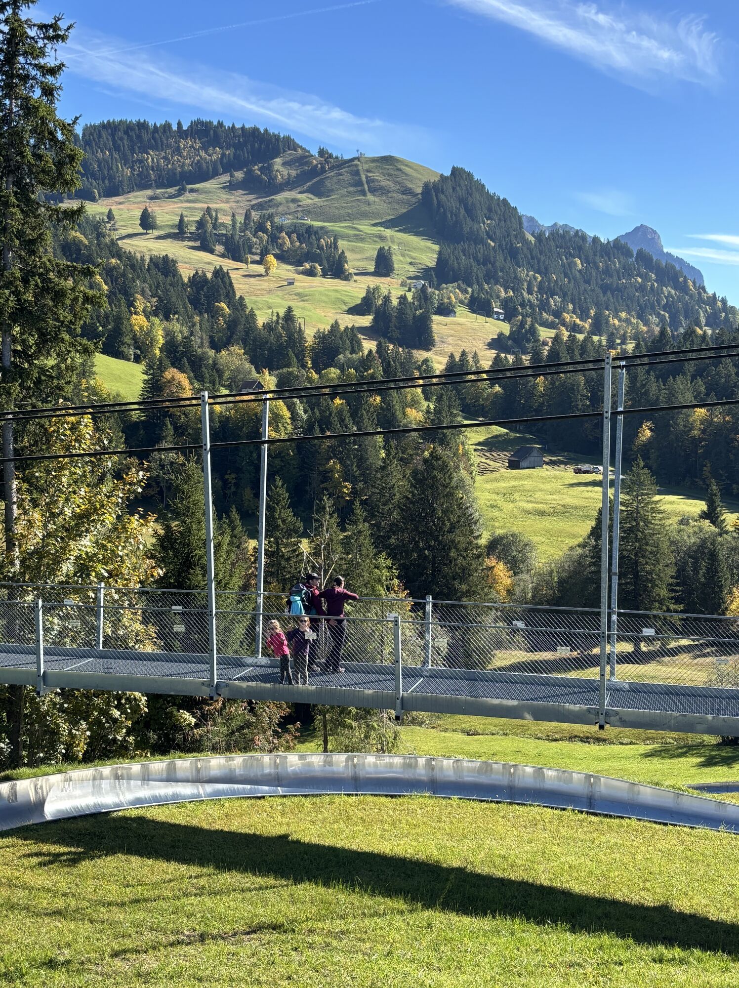
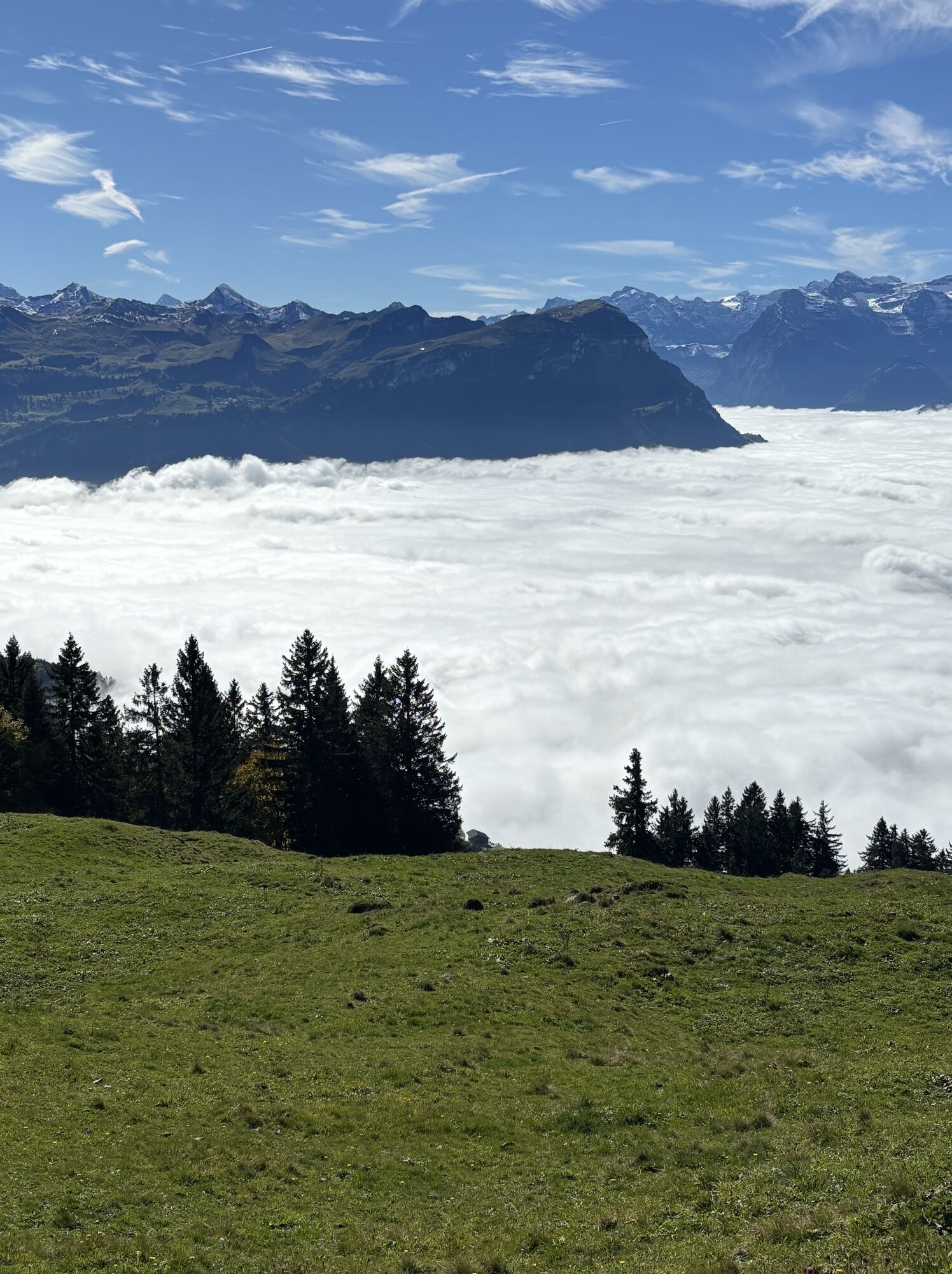
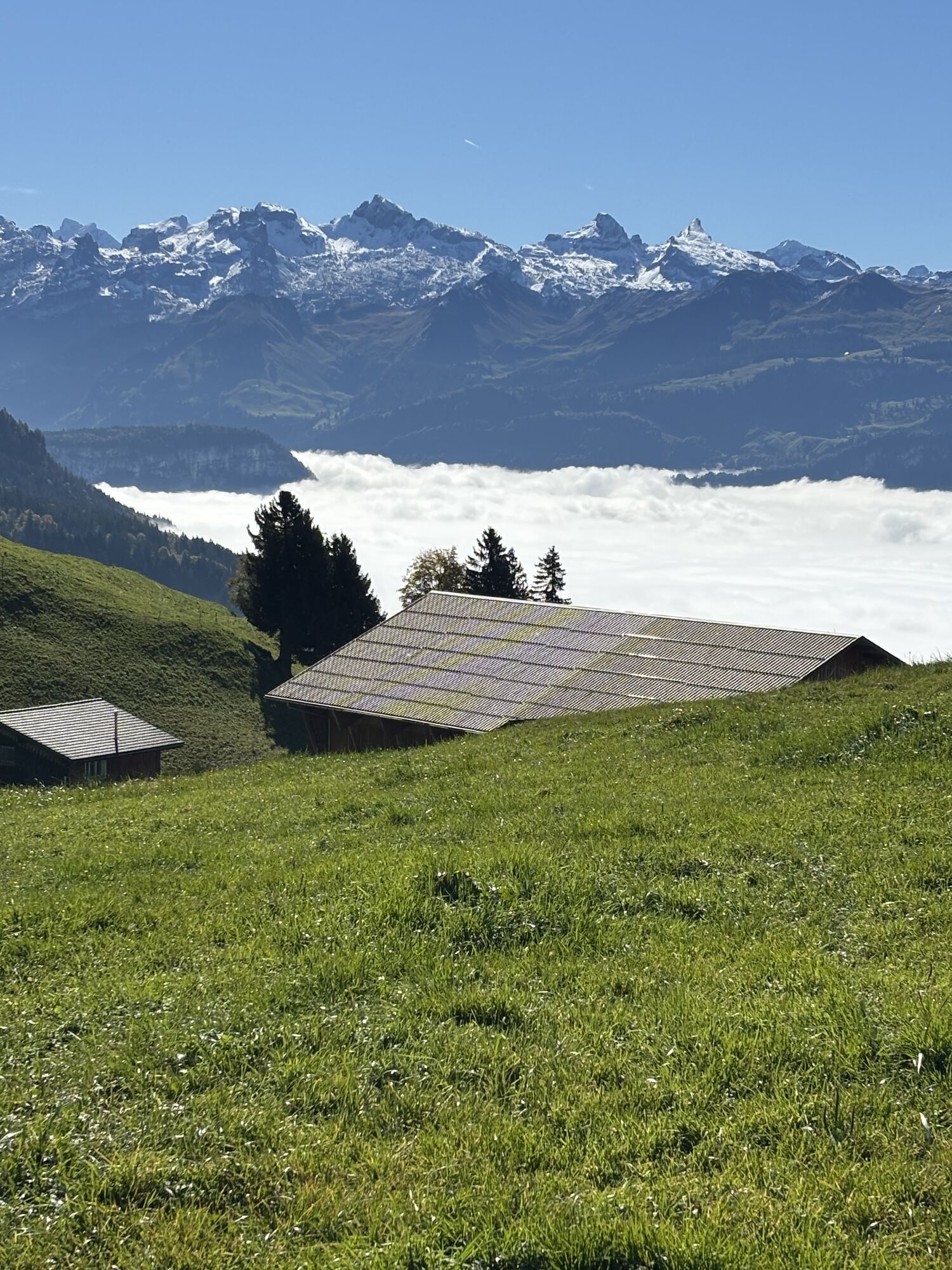
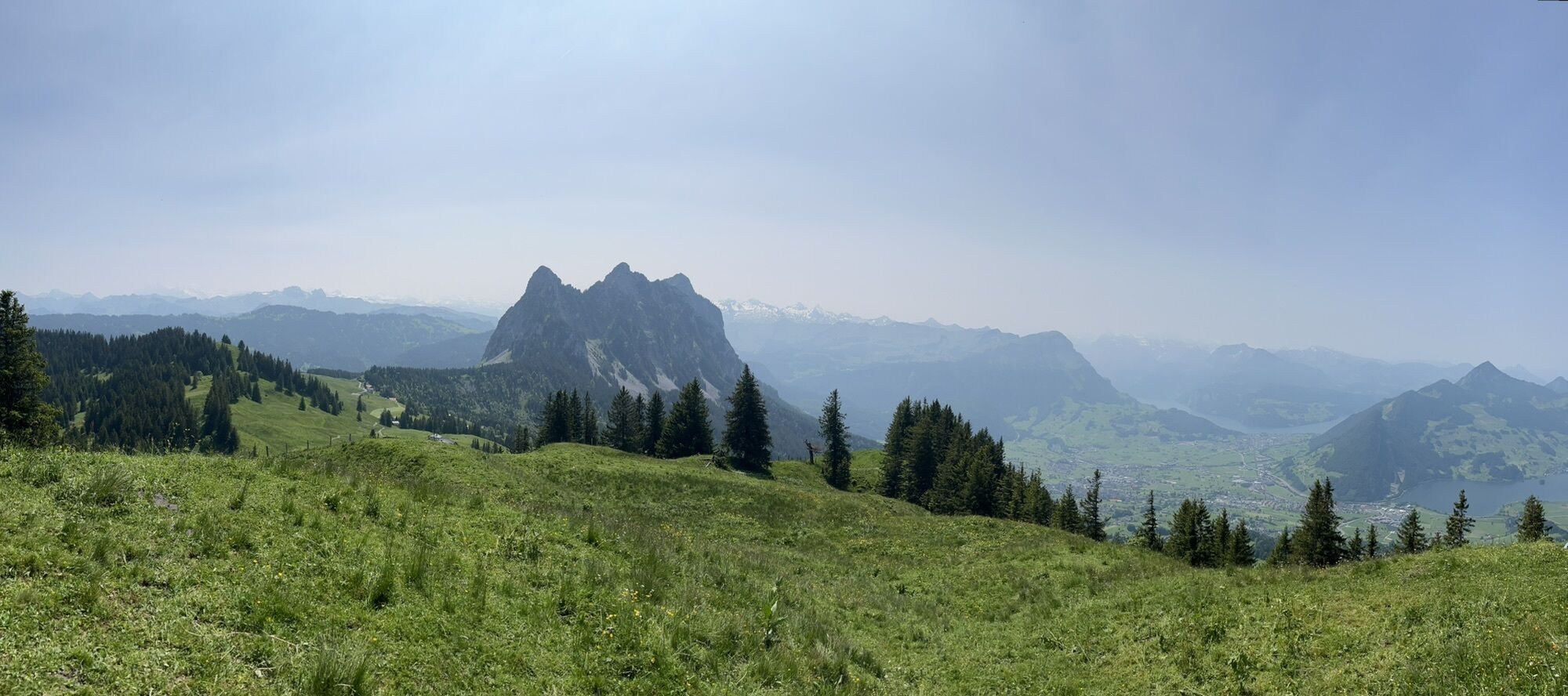
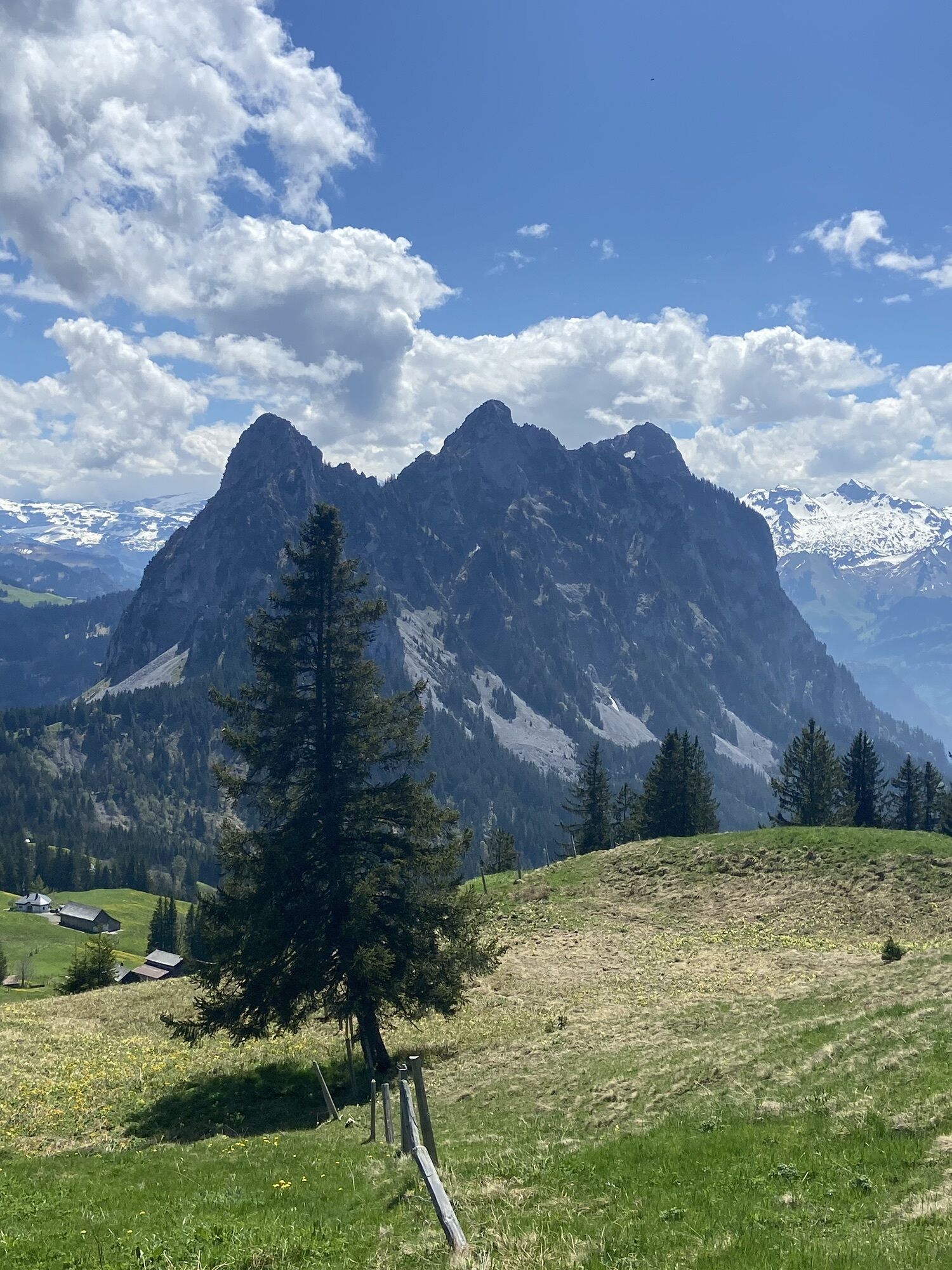
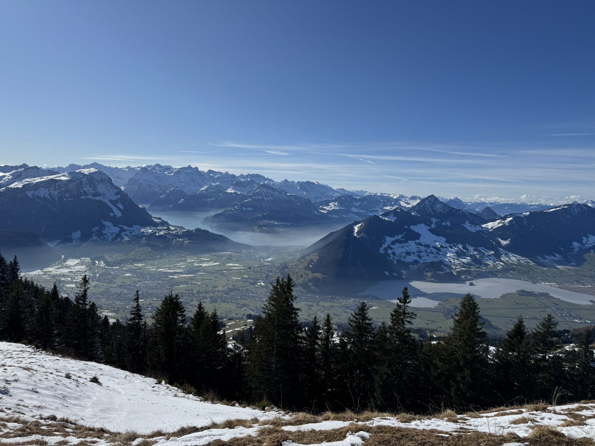
The trail through the varied pre-alpine landscape leads hikers from the Mostelberg mountain station to the local mountain of Sattel-Hochstuckli. The circular hike begins after a ride on the world's first revolving cable car from Sattel to Mostelberg. From the mountain station, the trail leads left past the summer toboggan run and the suspension bridge towards the Herrenboden mountain restaurant. Shortly before the Herrenboden restaurant and the crossing of the stream, the path leads off to the left before turning right through the forest towards the SAC Clubhouse Bärenfang and Bannegg. The trail continues uphill to the Hochstuckli with spectacular views of the Mythen and the foothills of the Central Swiss Alps. The way back leads via Stucklialp and Mostelegg past the Herrenboden mountain inn and back to the Mostelberg mountain station. After the strenuous hike, the mountain inns are waiting to spoil the hungry and thirsty athletes with culinary delights.

Hiking boots with good tread, trekking shoes, rain jacket, drink, food and drink
From Zug via Aegerital (approx. 20 min)
From Lucerne via motorway Zug-Schwyz, exit Schwyz, direction Pfäffikon-Sattel (approx. 40 min.)
Take the SOB to Sattel or Auto AG Schwyz from Schwyz on line 7 to the Sattel valley station of the gondola lift. Alternatively Zugerland Verkehrsbetriebe (line 23) from Arth-Goldau to Sattel. From Ägeri by bus 9 from Oberägeri
Paid car park at the valley station.
Pridobite vpogled
Vedno v živo na mestu z več kot 9.500 spletnimi kamerami. bergfex Kot uporabnik Pro si lahko zdaj ogledate ustrezne spletne kamere za številne izlete v aplikaciji izleti iz. Tako si lahko neposredno ogledate trenutne razmere.
Priljubljeni izleti v okolici
-
4.9
Gratwanderung Klingenstock
svetlobaPohodništvo 9.36 km -
4.6
Rundwanderung
svetlobaGorski pohodništvo 12.9 km -
4.3
Mythenweg - Bergwanderung auf den Grossen Mythen
težkoPohodništvo 3.40 km -
4.3
Kleiner Mythen
srednjaPohodništvo 6.31 km -
3.9
Rundweg Seebodenalp Küssnacht am Rigi, Schweiz
srednjaPohodništvo 9.56 km -
4.5
Brunni-Feuerstellen-Rundwanderung
svetlobaPohodništvo 11.5 km -
4.7
Mythen via Ibergeregg
srednjaPohodništvo 9.73 km -
3.9
Gnipen - ab Goldau - Rundwanderung
srednjaPohodništvo 10.6 km -
5.0
Wanderung entlang der Mythen, Alp "Zwüschet-Mythen"
srednjaPohodništvo 10.5 km -
4.8
Holzegg - Grosser Mythen - Restaurant Grosser Mythen - Alpwirtschaft Brunnialp
srednjaPohodništvo 5.66 km
Pohodništvo in sledenje


Ne zamudite ponudb in navdiha za naslednje počitnice
Vaš e-poštni naslov je bil dodan na poštni seznam.





