







Between nature and water

Stopnja težavnosti: 2
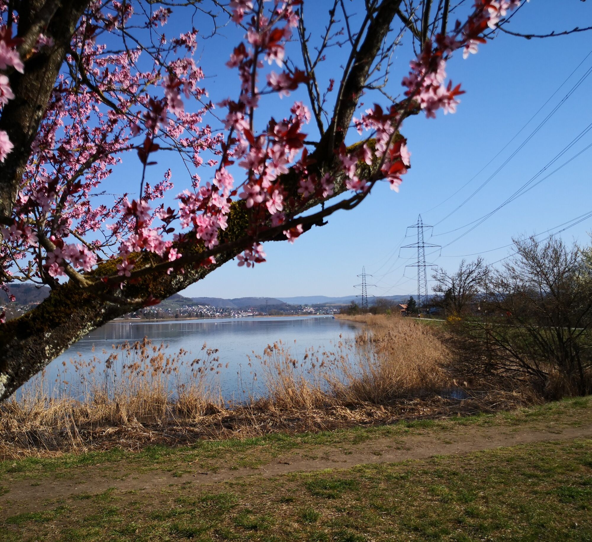
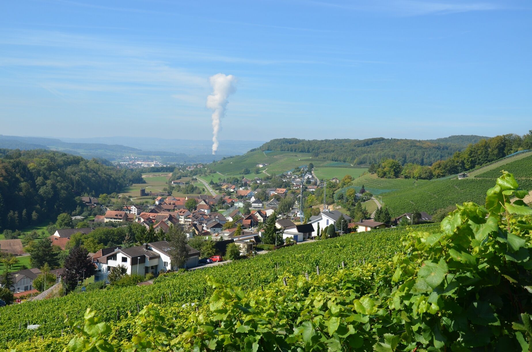
From the Hönger viewpoint along the wine hiking trail, you have a comprehensive perspective of the Klingnauer Stausee, allowing you to fully enjoy the beauty of the region.
The path from Tegerfelden along...
From the Hönger viewpoint along the wine hiking trail, you have a comprehensive perspective of the Klingnauer Stausee, allowing you to fully enjoy the beauty of the region.
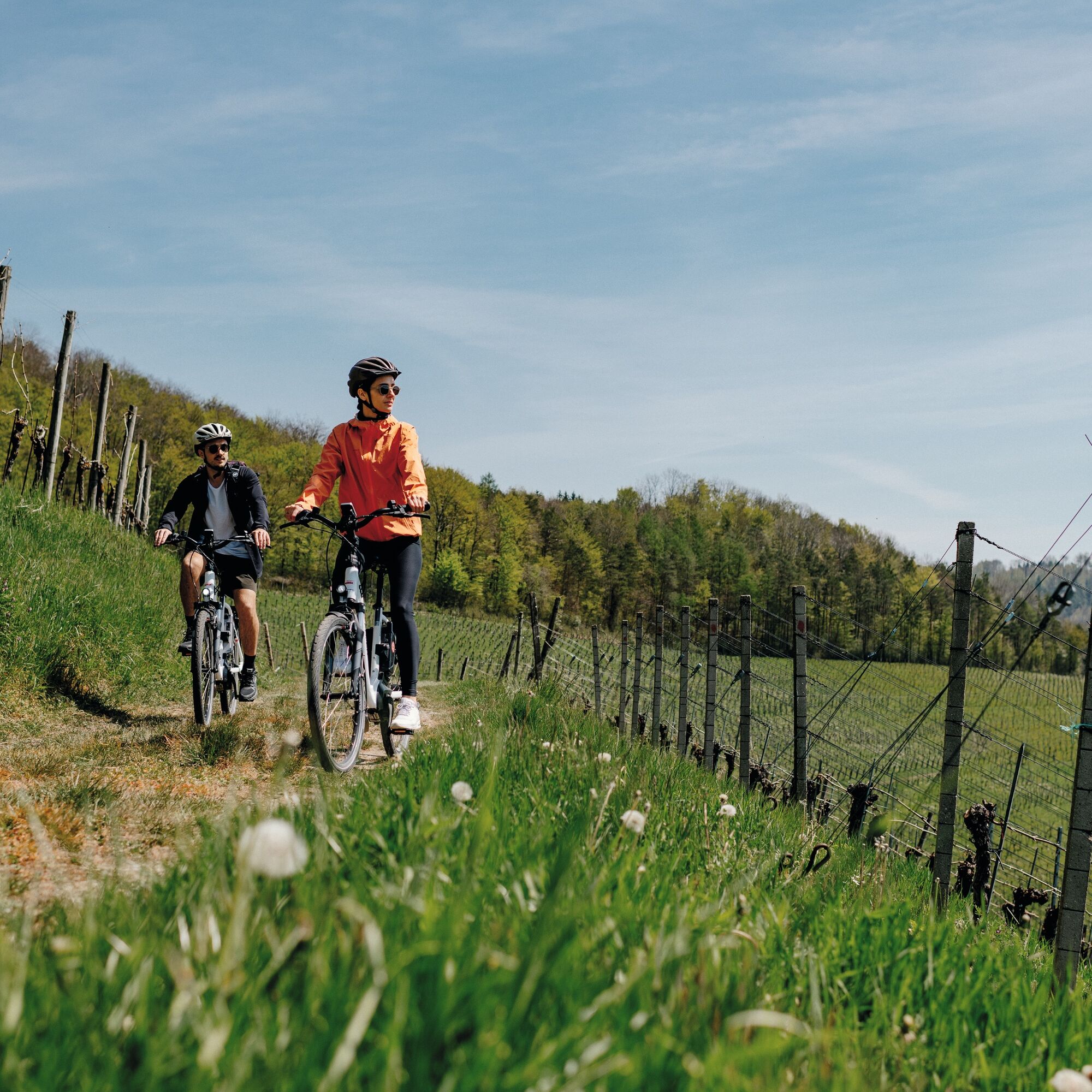
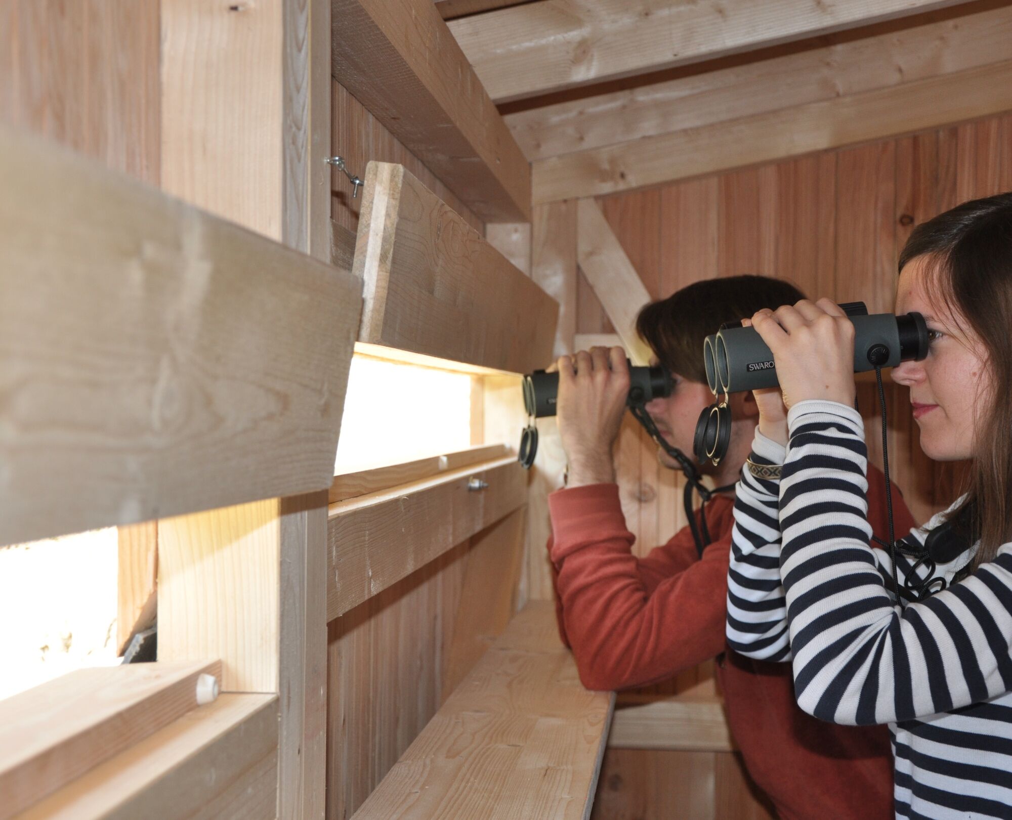
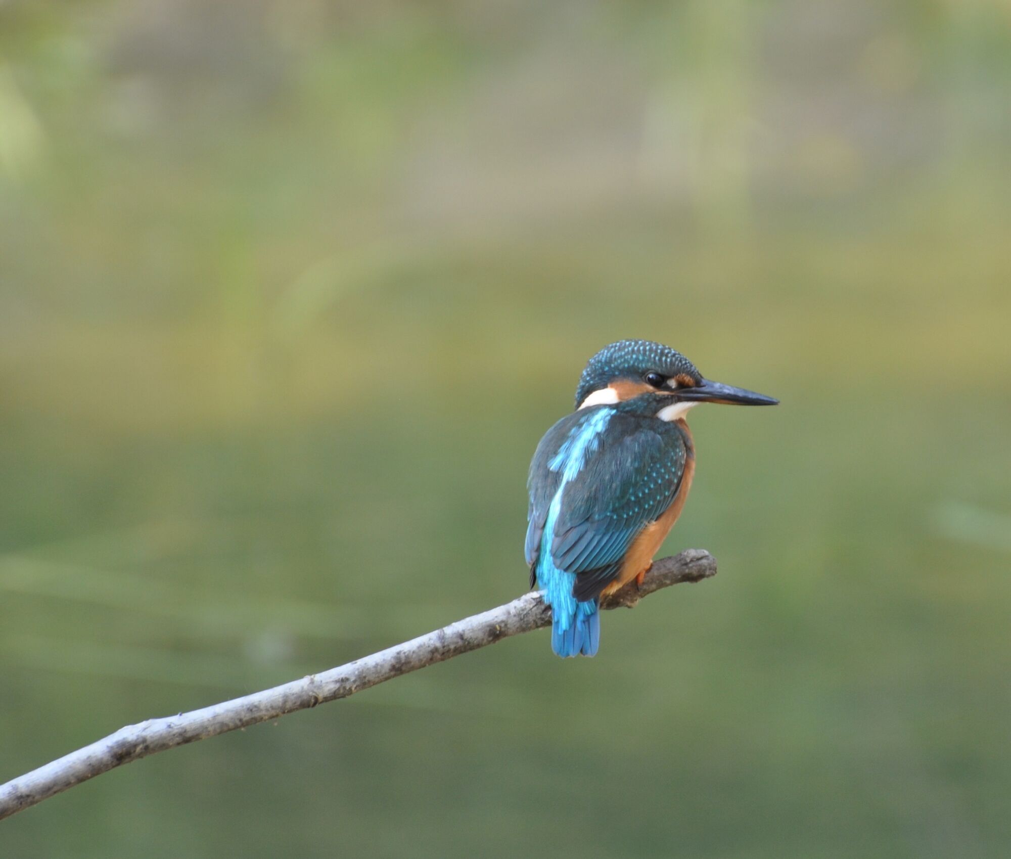
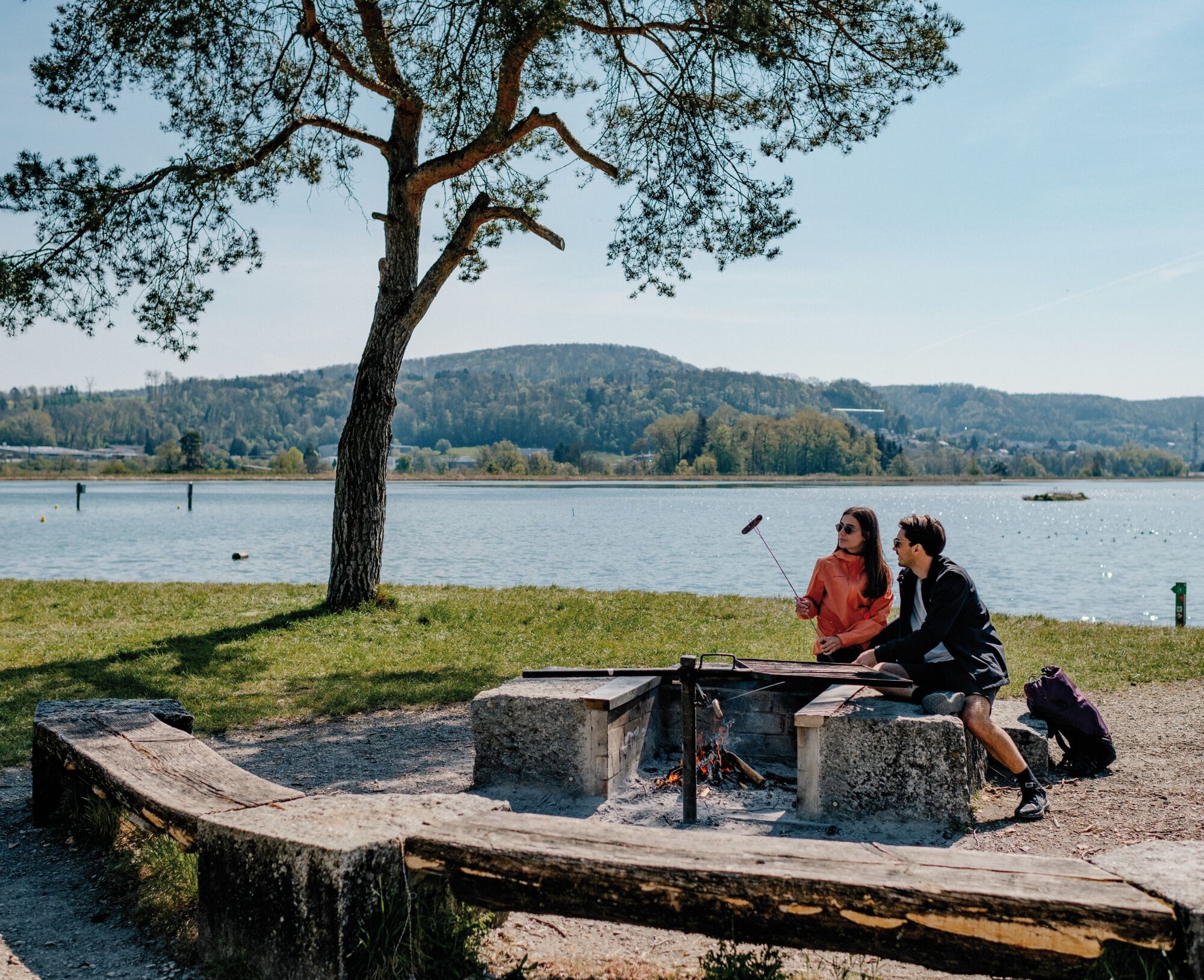
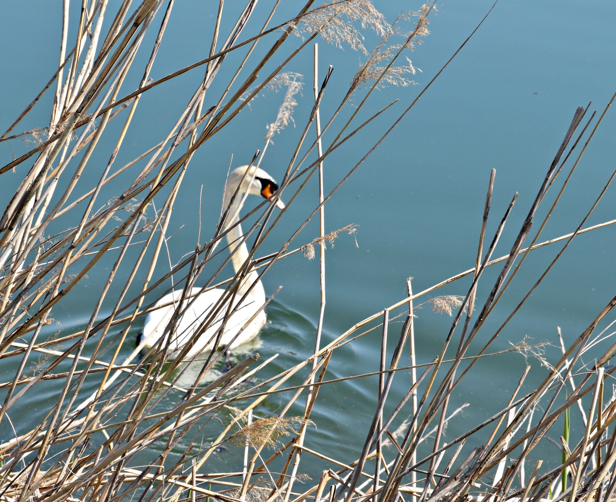
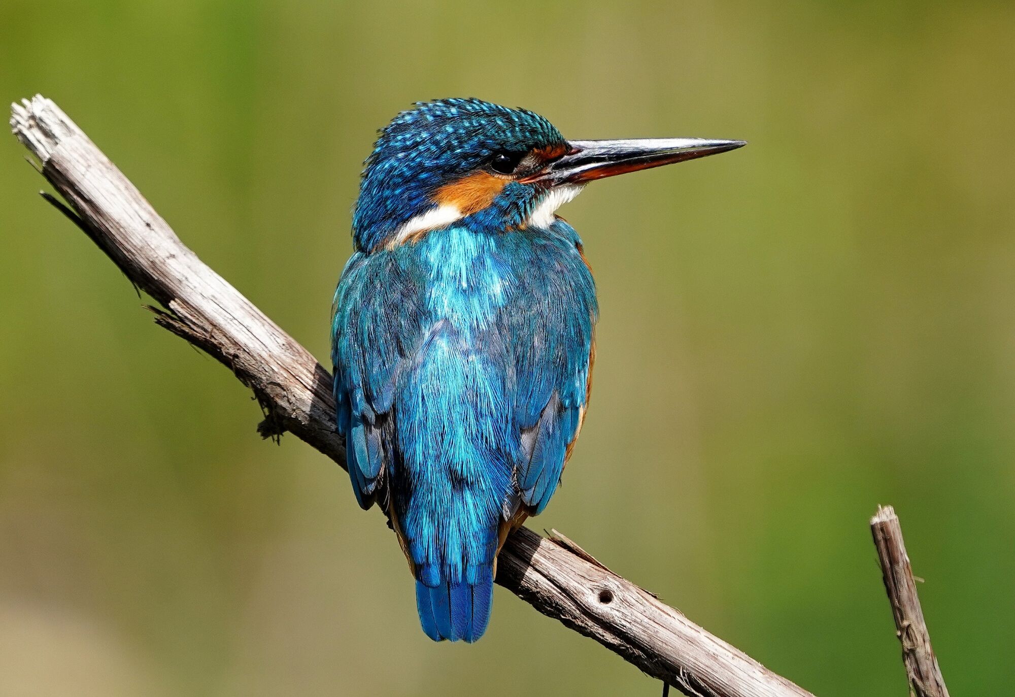
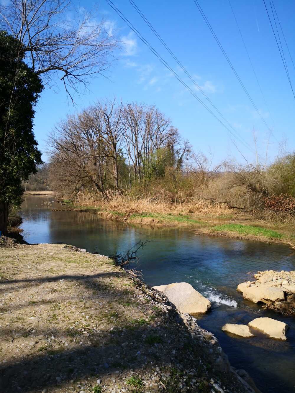
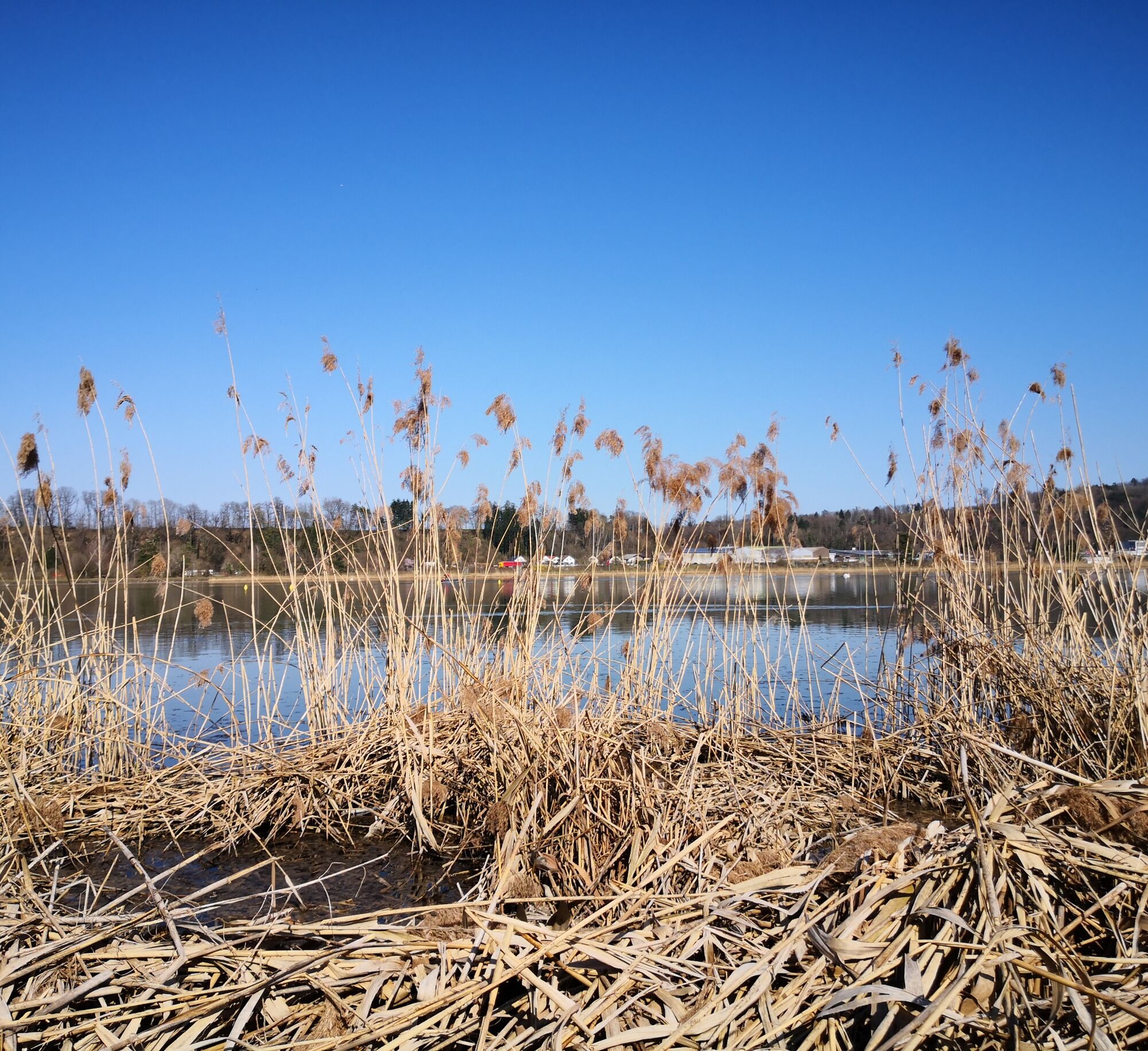
The path from Tegerfelden along the rushing creek to Unterendingen leads you through a fascinating landscape, accompanied by the soothing sound of water. In Würenlingen, you cross the Aare and follow the natural course of the river to the Klingnauer Stausee. Upon arrival at the reservoir, also known as a bird sanctuary, an impressive backdrop opens up where nature shines in all its vibrant birdlife diversity.


Bad Zurzach - Klingnau - Tegerfelden - Unterendingen - Würenlingen - Böttstein - Klingnauer Stausee - Gippingen - Felsenau - Koblenz - Rietheim - Bad Zurzach
You can reach Bad Zurzach from Baden in 25 minutes, from Zurich or Kloten Airport in 35 minutes, from Schaffhausen in 40 minutes, from Basel in 60 minutes, from Lucerne in 70 minutes, and from Bern in 90 minutes.
The tourism office in Bad Zurzach is reachable on foot from the train station within 5-10 minutes. If you don't want to walk, the "Zurzi Bus" will also take you for free from the station to us and back (stop "Thermalbad"). The timetable for the free bus can be found here.
A paid parking lot (Thermalbad) is available in close proximity to the tourism office.
2
These tips are definitely worth it:
- A stop at the "Hönger" viewpoint
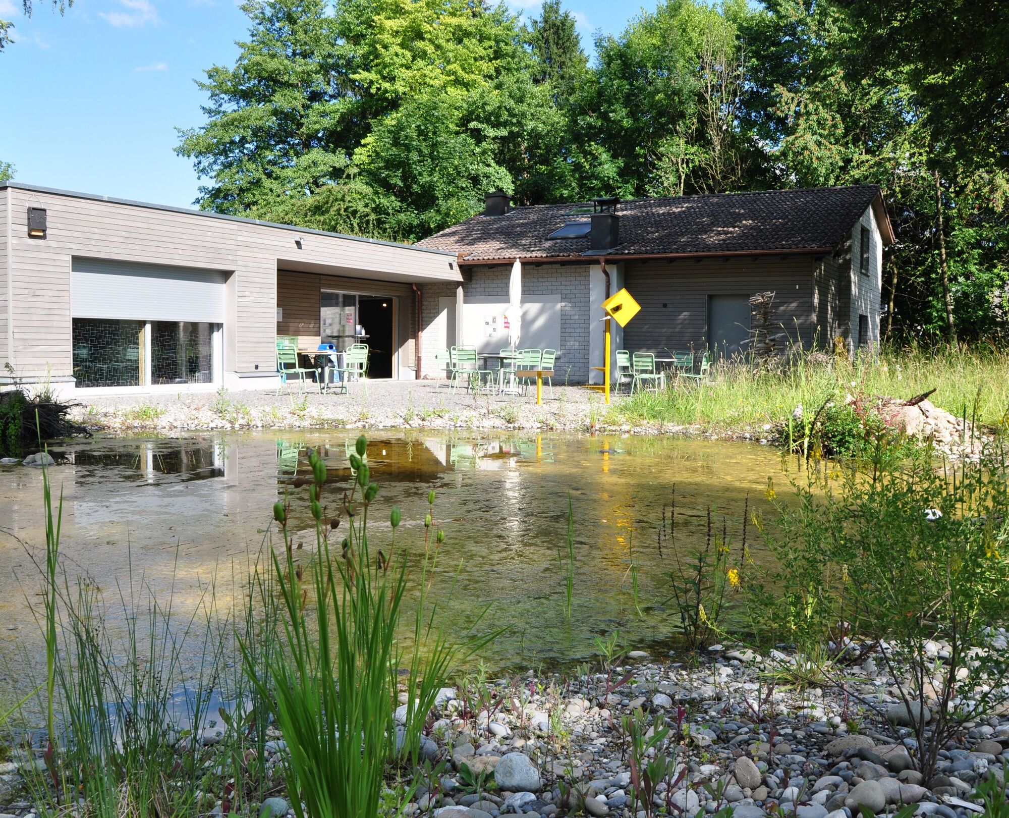
- Bird watching at the Klingnauer Stausee
- A visit to the BirdLife Nature Center

Priljubljeni izleti v okolici
- 3.8
Chänzeli -Tour: Eine Panorama - Stadtwanderung
svetlobaPohodništvo 7.81 km - 4.3
Lägern Rundwanderung
srednjaPohodništvo 13.0 km - 4.0
Ridge hike over the Lägern
težkoPohodništvo 14.8 km - 4.1
Linn - Effingen - Bruderhöhle - Gallenkirch
srednjaPohodništvo 7.88 km Linner Wasserfall
svetlobaPohodništvo 4.67 km- 4.0
Cross-border Rhine riverside path
svetlobaPohodništvo 7.81 km Around the Klingnau reservoir
svetlobaPohodništvo 10.7 km- 4.7
Cheisacherturm
svetlobaPohodništvo 3.64 km - 2.0
Staffelegg - Ruine Schenkenberg - Thalheim
svetlobaPohodništvo 6.96 km - 5.0
Schinznach Bad - Brugg, Schweiz
svetlobaPohodništvo 10.5 km
Pohodništvo in sledenje


Ne zamudite ponudb in navdiha za naslednje počitnice
Vaš e-poštni naslov je bil dodan na poštni seznam.





