


Göscheneralp round tour
Stopnja težavnosti: S1
Fotografije naših uporabnikov
-

 © Sonja HerdegUstvarjeno na 24.06.2023
 -
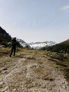
 © PhilippUstvarjeno na 18.09.2022
 -
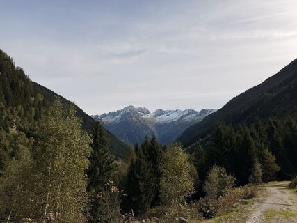
 © Jockel ZimmermannUstvarjeno na 03.10.2025
 -
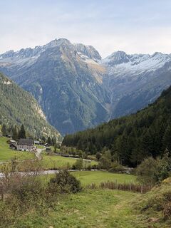
 © Jockel ZimmermannUstvarjeno na 03.10.2025
 -
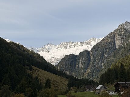
 © Jockel ZimmermannUstvarjeno na 03.10.2025
 -
 © Jockel ZimmermannUstvarjeno na 03.10.2025
 -
 © Jockel ZimmermannUstvarjeno na 03.10.2025
 -
 © Jockel ZimmermannUstvarjeno na 03.10.2025
 -
 © Jockel ZimmermannUstvarjeno na 03.10.2025
 -
 © Jockel ZimmermannUstvarjeno na 03.10.2025
 -
 © Jockel ZimmermannUstvarjeno na 03.10.2025
 -
 © Jockel ZimmermannUstvarjeno na 03.10.2025
 -
 © Jockel ZimmermannUstvarjeno na 03.10.2025


This tour starts at the tourist office in Andermatt. You begin by following the footpath down the Schöllenen Gorge. Take care: numerous walkers! The imposing flanks of the gorge rise skywards: it is easy...
This tour starts at the tourist office in Andermatt. You begin by following the footpath down the Schöllenen Gorge. Take care: numerous walkers! The imposing flanks of the gorge rise skywards: it is easy to imagine what an obstacle to travel the gorge presented in earlier centuries. At the lower end of the gorge, the route crosses the Reuss on the handsome Häderlis Bridge then follows the main road to Göschenen.
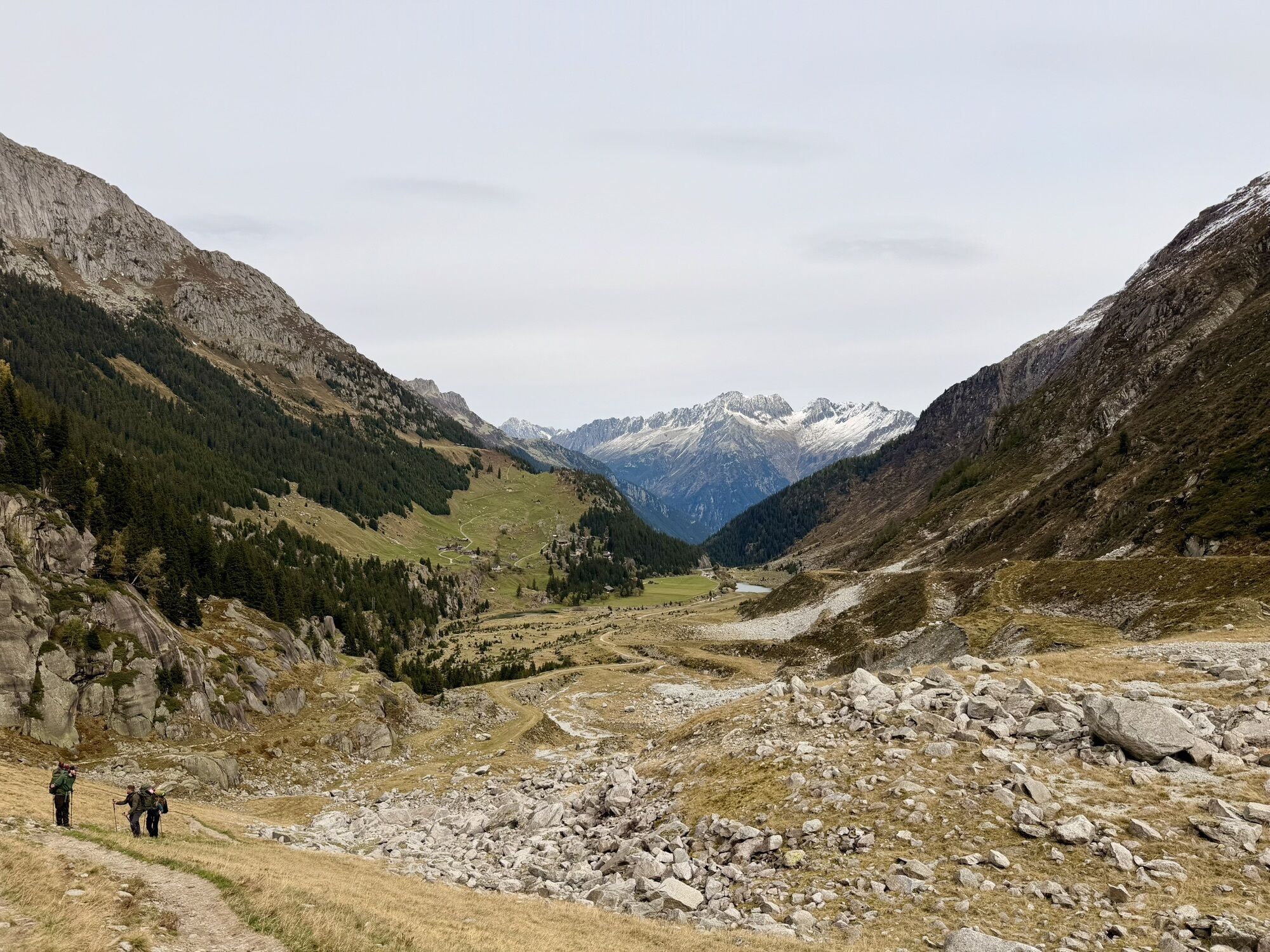
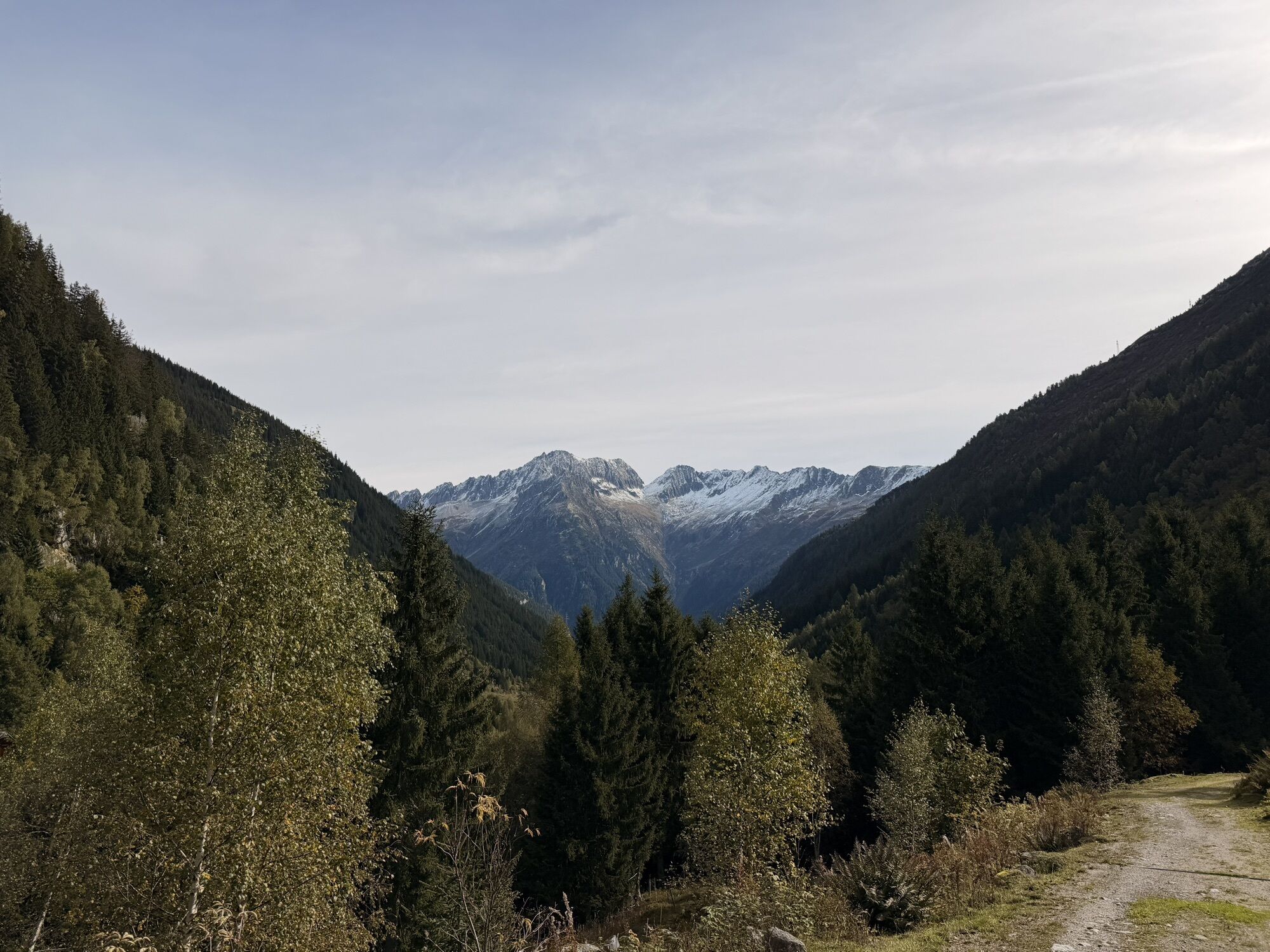
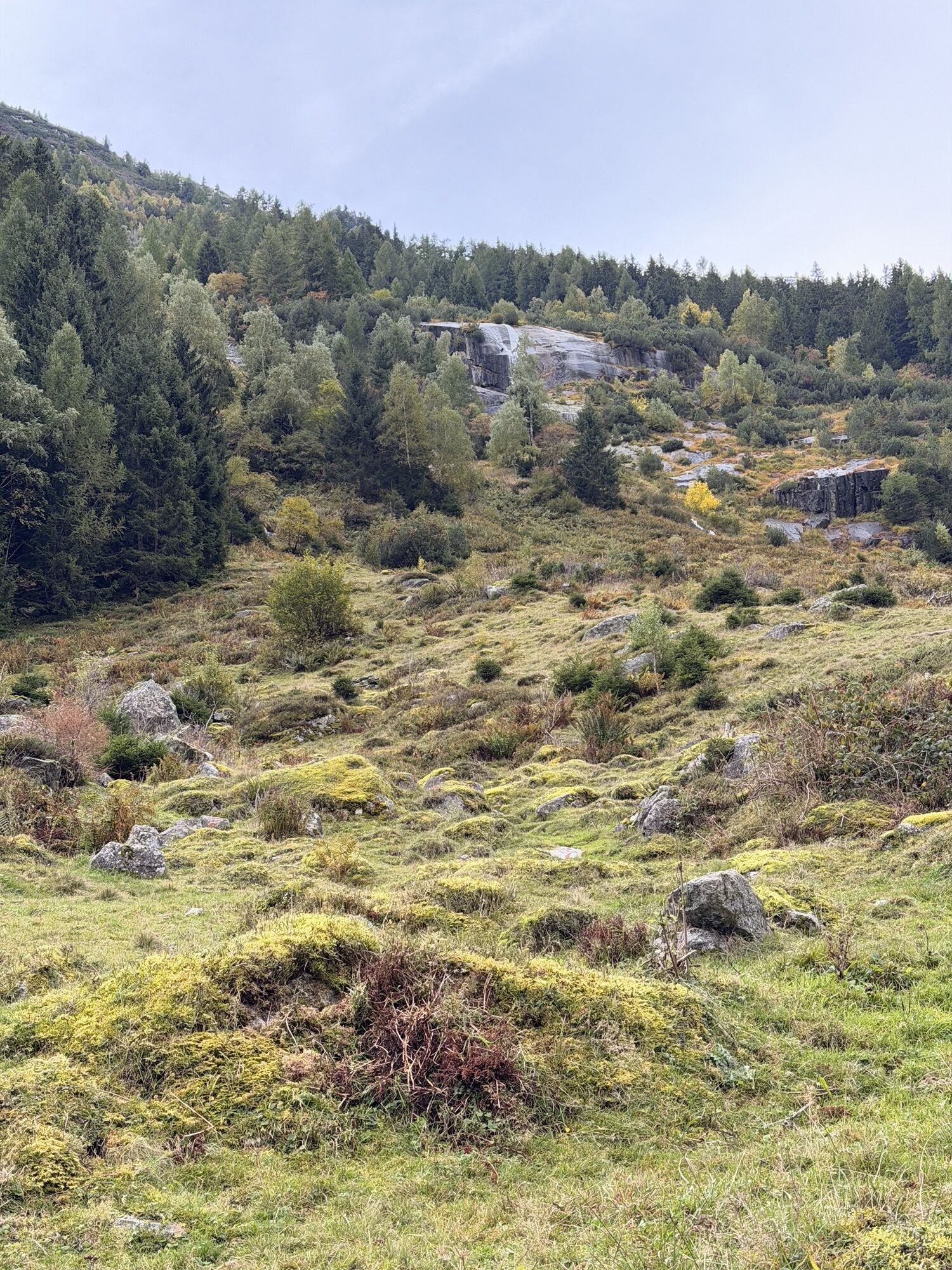
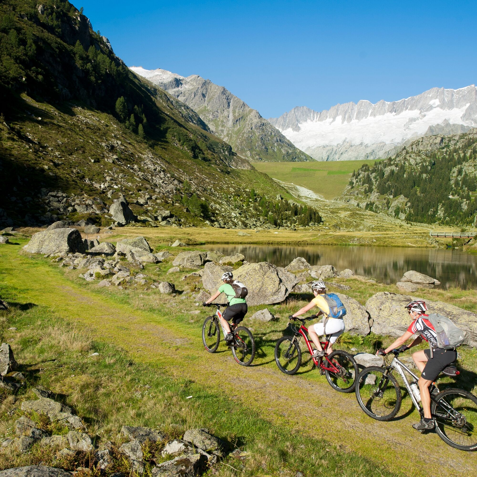
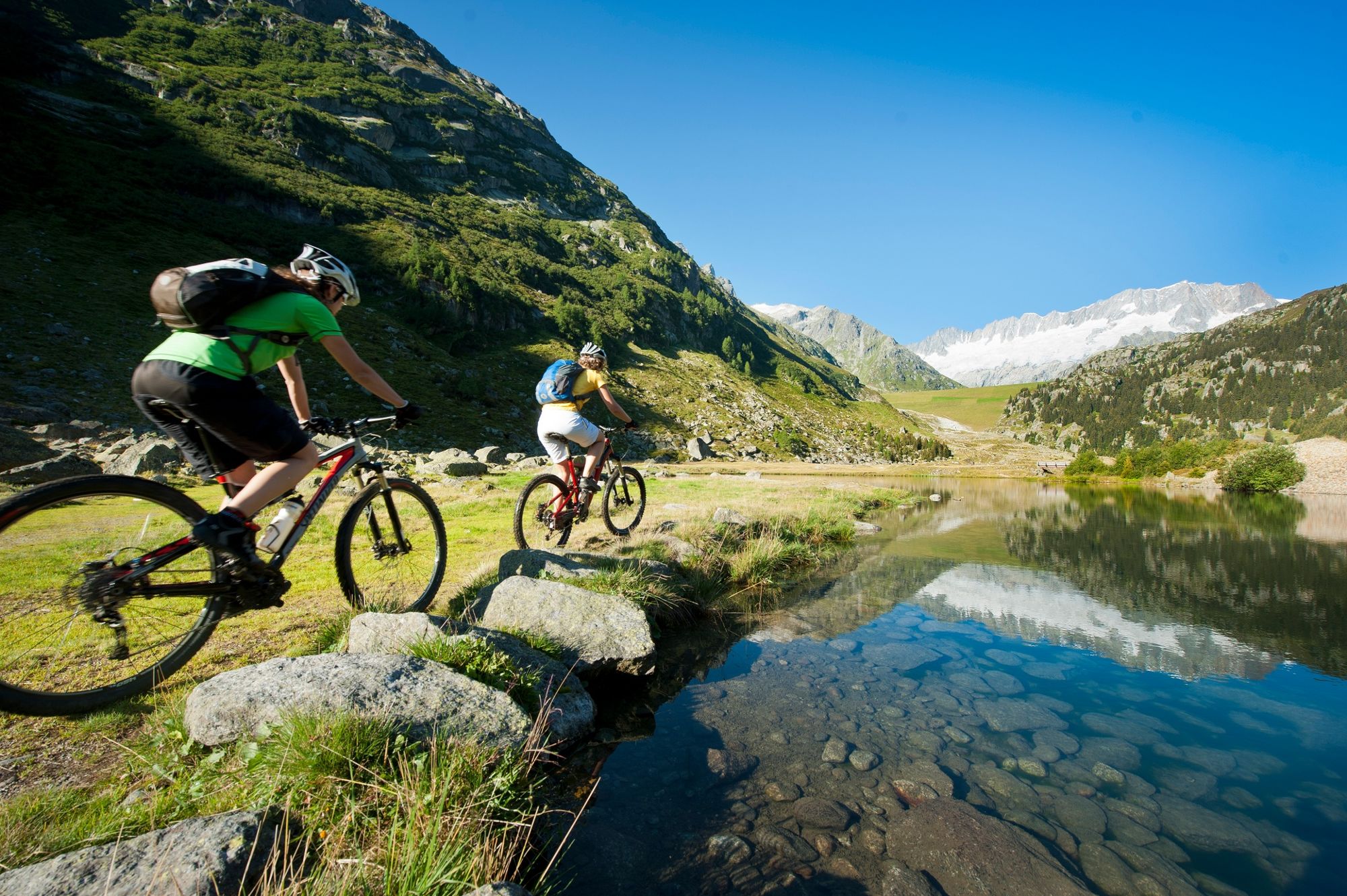
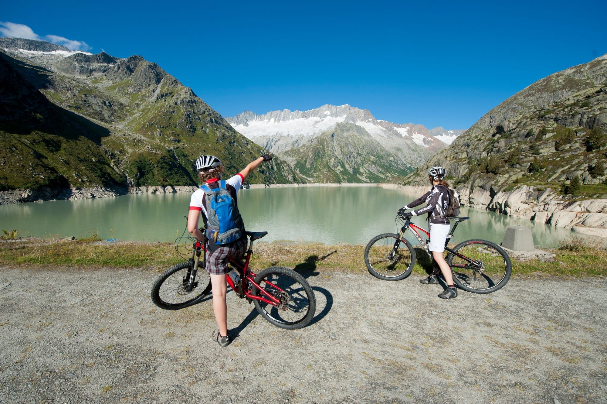
Once in the village itself, you cross the bridge and turn left to head for Göscheneralp. As you leave the village you are met with an initial ascent almost as far as the hamlet of Abfrutt; before reaching it, you turn off left onto a small unpaved track. The valley narrows at Wiggen; the route crosses the Göschenerreuss to return to the road, which now passes through a series of unlit tunnels – make sure your lights are on! After a few bends, the little road enters a tunnel and passes through a rock wall before arriving at the valley basin at the Gwüest campsite. The view widens to encompass the grass-covered reservoir dam.
The Göscheneralp restaurant in Gwüest offers sustenance for hungry and thirsty MTB’ers. It also provides simple accommodation for the night. From here you follow the little road and make for the dam. The Dammagletscher restaurant is also a good place to stop off for a bite to eat.
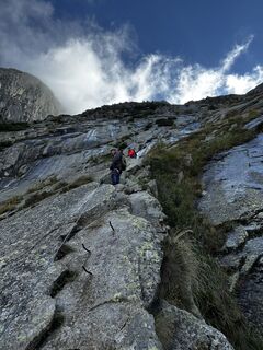
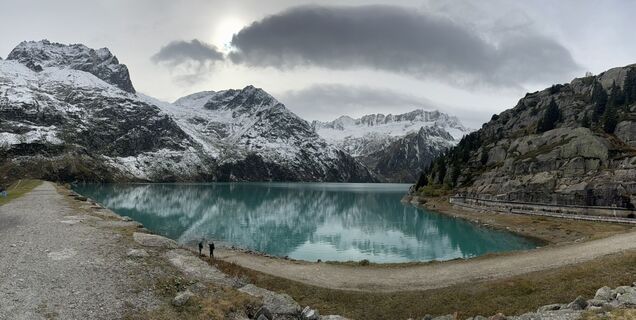
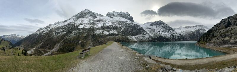
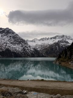
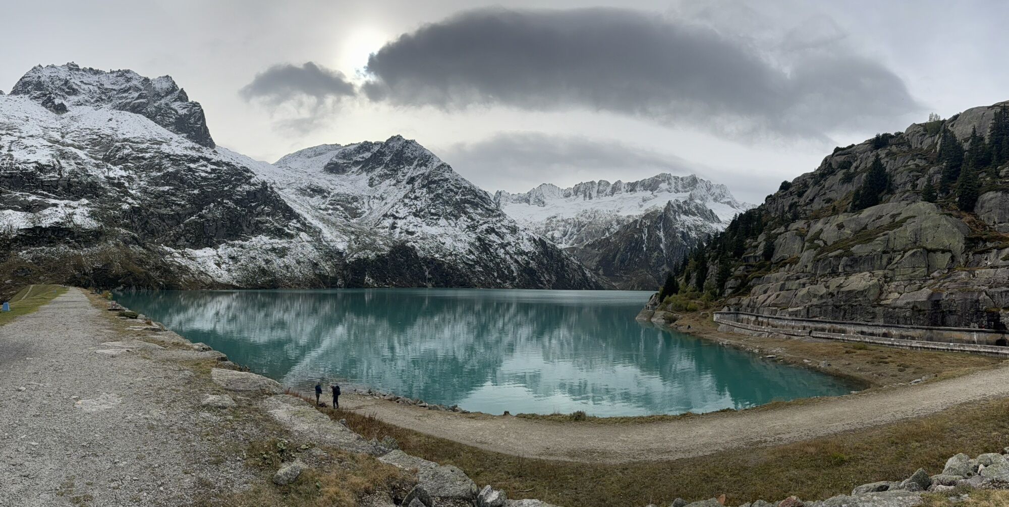
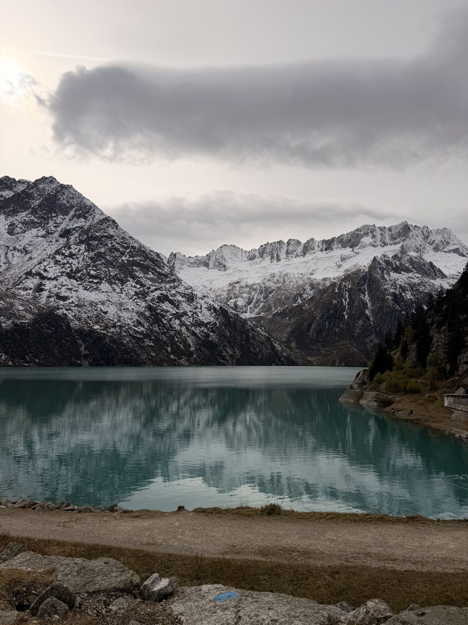
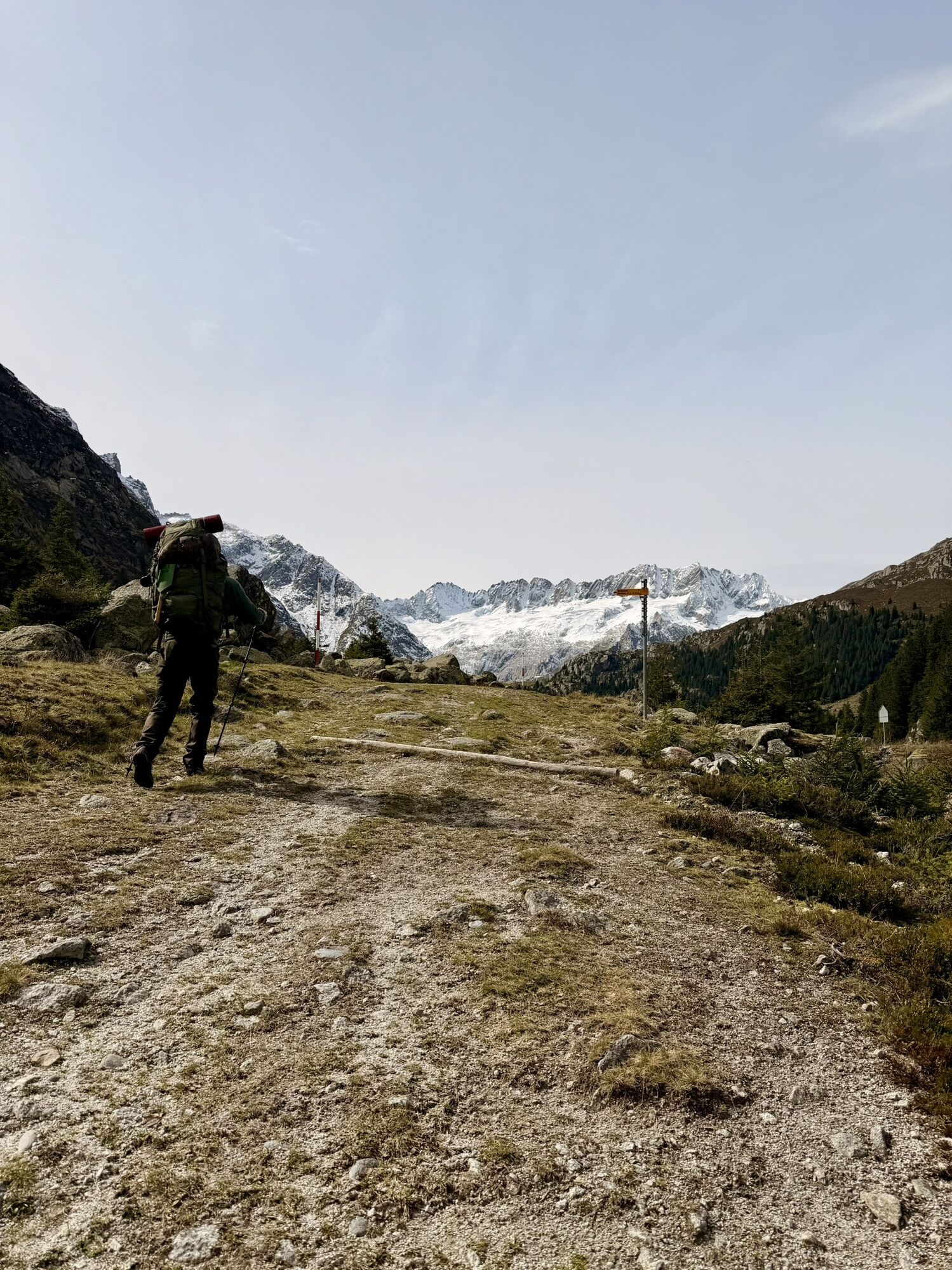
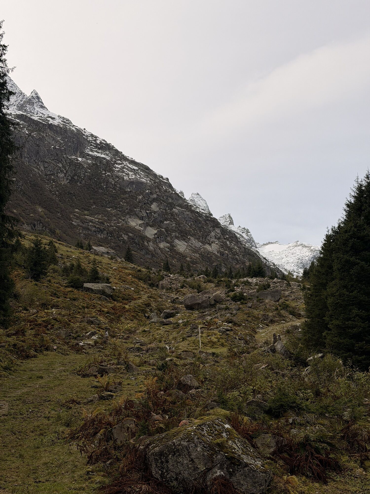
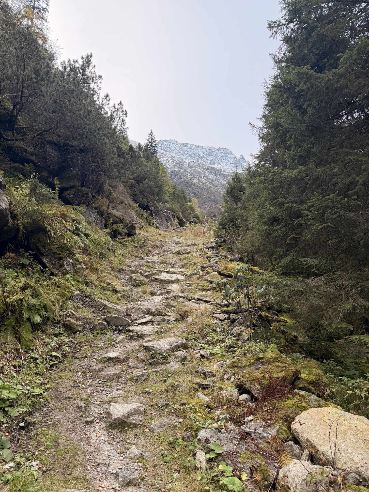
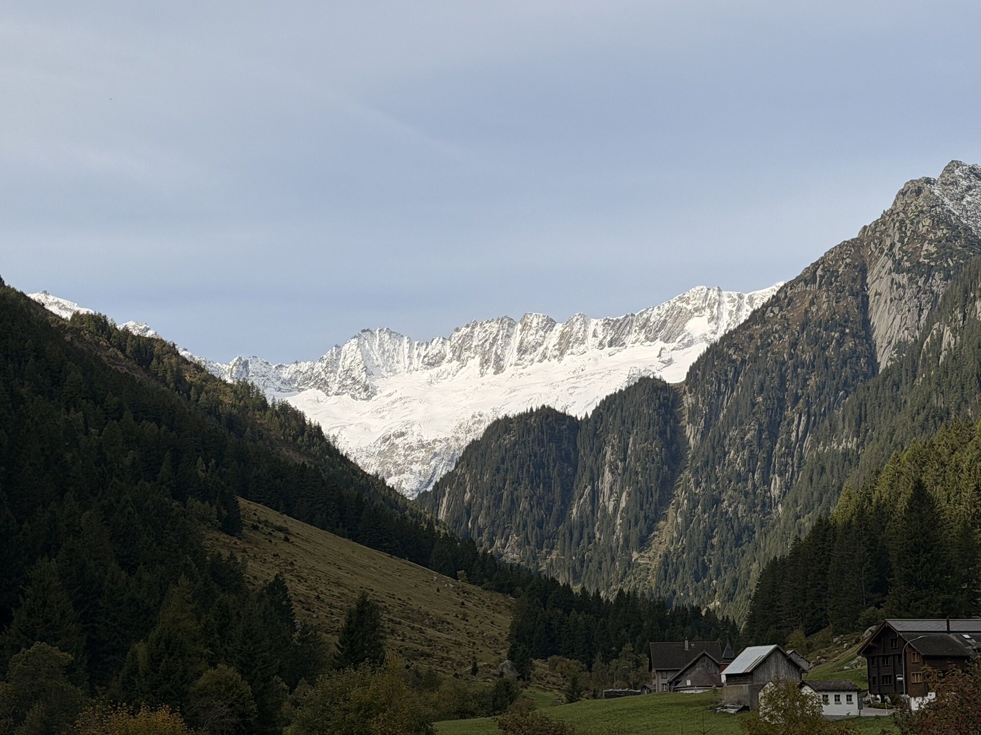
The route crosses the dam before commencing its descent. It is worth pausing here and admiring the views of Lake Göscheneralp, glaciers and mountains, including the Tiefenstock, Rhonestock, Dammastock, Schneestock and Eggstock, all of which still have snow on them in summer. The descent takes you directly over the dam to the “old valley floor”; the initial road makes way for a narrow footpath. Just before the path becomes a small road again, a couple of large boulders will force even the experienced biker to dismount for a few metres. The next challenge in store comes beyond the campsite. Here the path passes along some very rocky stretches and affords a real treat for expert MTB’ers. Those not all that technically skilled might have to push their bikes for up to 15 minutes. From Wiggen and until you almost arrive at Göschenen you follow the same route as on your uphill run – you are on the hiking trail the whole way.

Andermatt - Schöllenen Gorge - Göschenen - Göscheneralp - Göschenen
Auf dem Wanderweg durch die Schöllenenschlucht sind häufig Wanderer unterwegs.
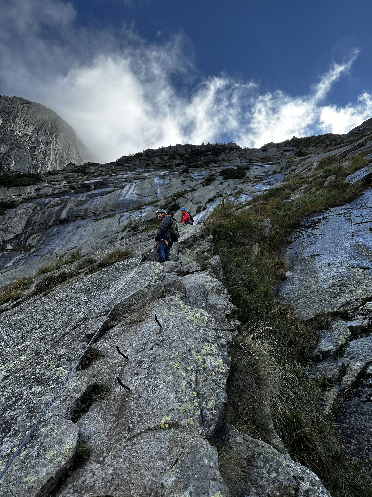
Die Route führt durch einige nicht beleuchtete Tunnels – ein Lichtset ist unbedingt nötig.
S1
Option A: start and end in Göschenen.
Option B: downhill run from the dam back to Wiggen on the road to avoid the more technically demanding sections of the route.
Priljubljeni izleti v okolici
-
5.0
Rheinquelle - Lai da Tuma über den Pazzolastock
srednjaPohodništvo 10.3 km -
Rheinquelle - Lai da Tuma
srednjaPohodništvo 5.67 km -
4.5
Lakes Orsino, Orsirora and Valletta Route
Pohodništvo 12.8 km -
Furka Pass – Rhone Glacier
svetlobaPohodništvo 3.59 km -
5.0
Arnisee - Sunniggrathütte - Ruchälplistock - Leidseepass - Leutschachhütte - Arnisee
težkoPohodništvo 13.2 km -
3.8
Piz Cavradi
srednjaPohodništvo 6.48 km -
1.0
Lutersee
srednjaPohodništvo 6.11 km -
Anstieg Trifthutte von KWO-bahn
srednjaVisokogorska tura 7.11 km -
von Albert-Heim-Hütte via Nepali Highway und Sidelenhütte nach Furkapass
težkoPohodništvo v daljavo 8.40 km -
5.0
Sidelenhütte
svetlobaPohodništvo 3.39 km

Pohodništvo in sledenje


Ne zamudite ponudb in navdiha za naslednje počitnice
Vaš e-poštni naslov je bil dodan na poštni seznam.