







Panoramic circular route between the Lower Valtellina and the Val Tartano
Stopnja težavnosti: T2
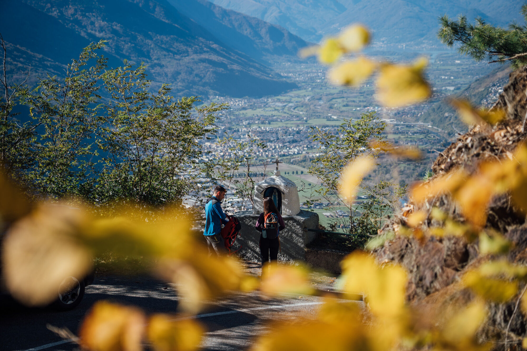
The route - with respect to the Madonnina - starts on the opposite side of the road, to be crossed carefully. The first section climbs with some steepness and exposure; some passages are equipped with...
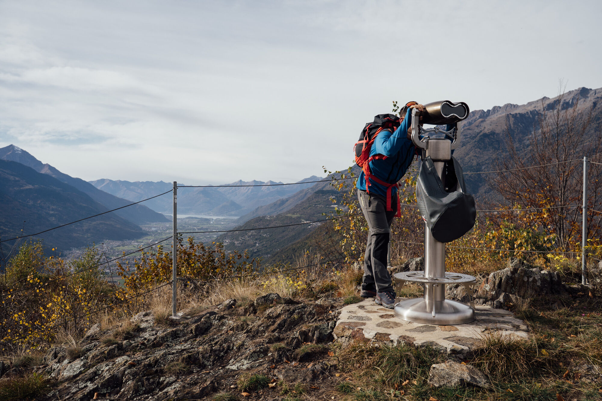
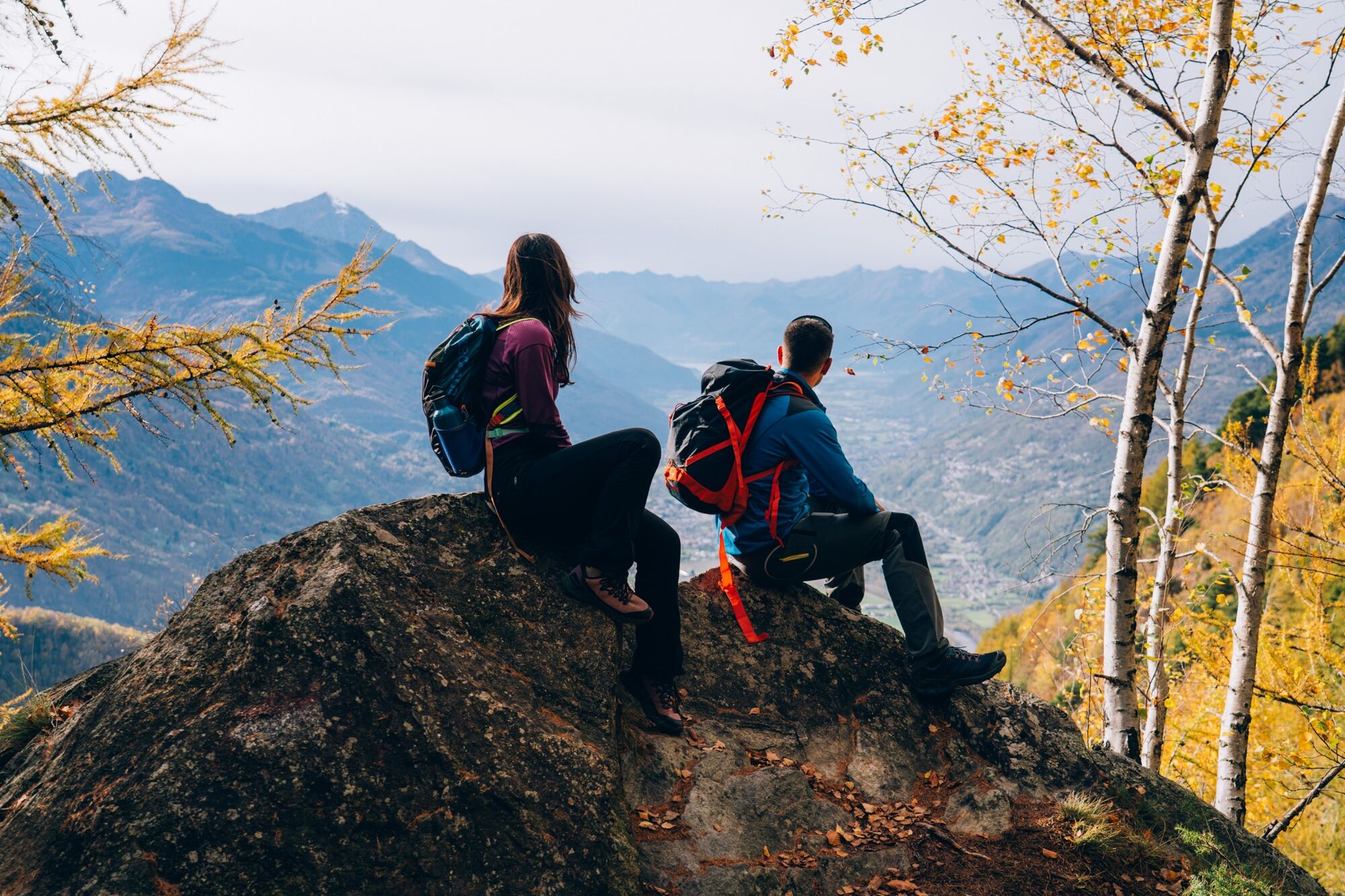
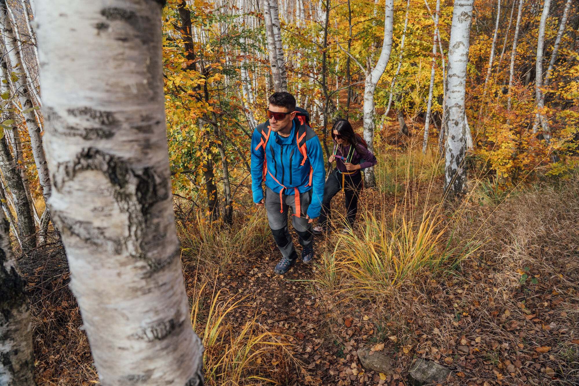
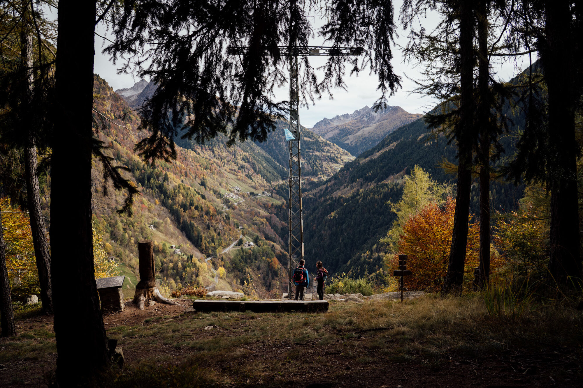
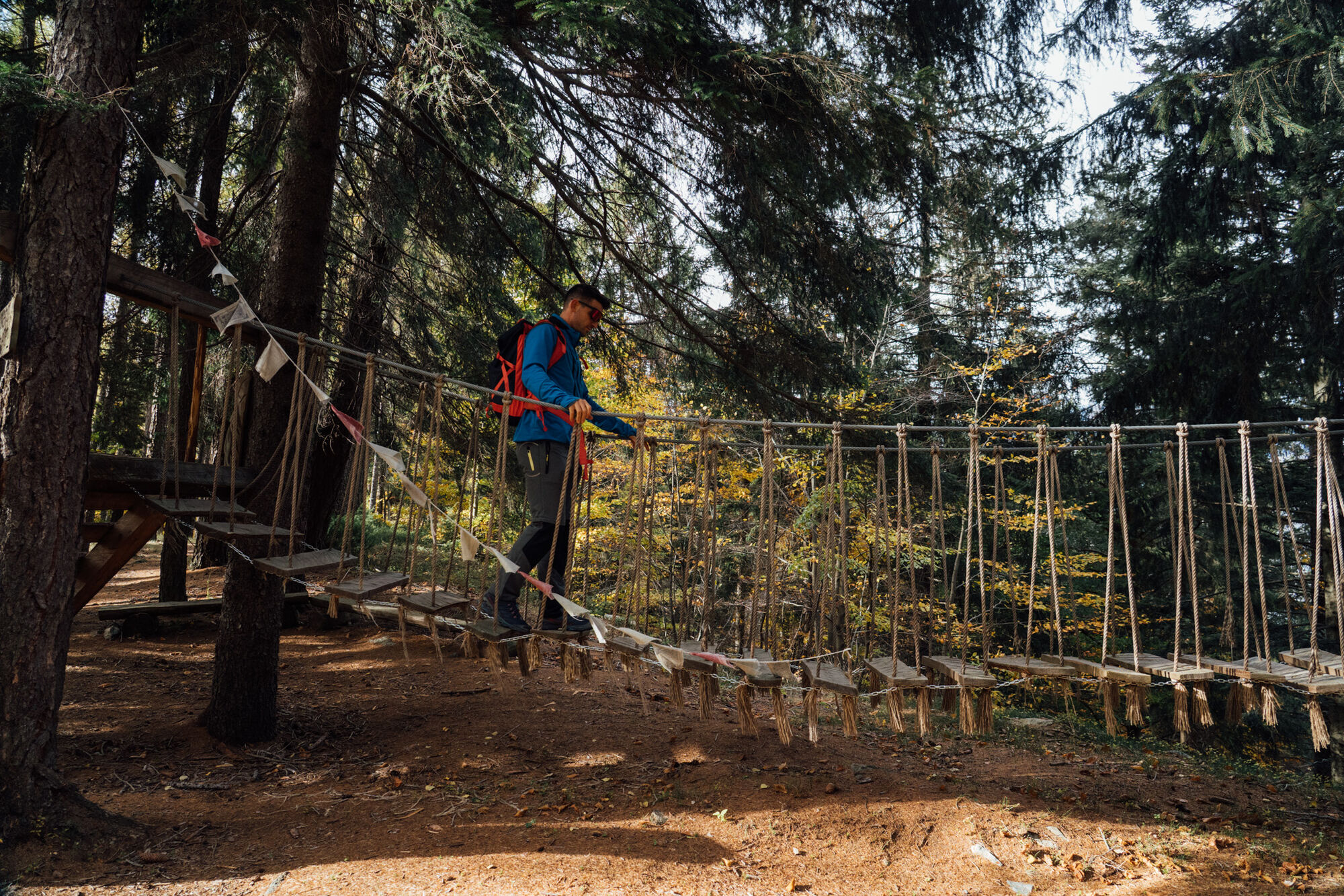
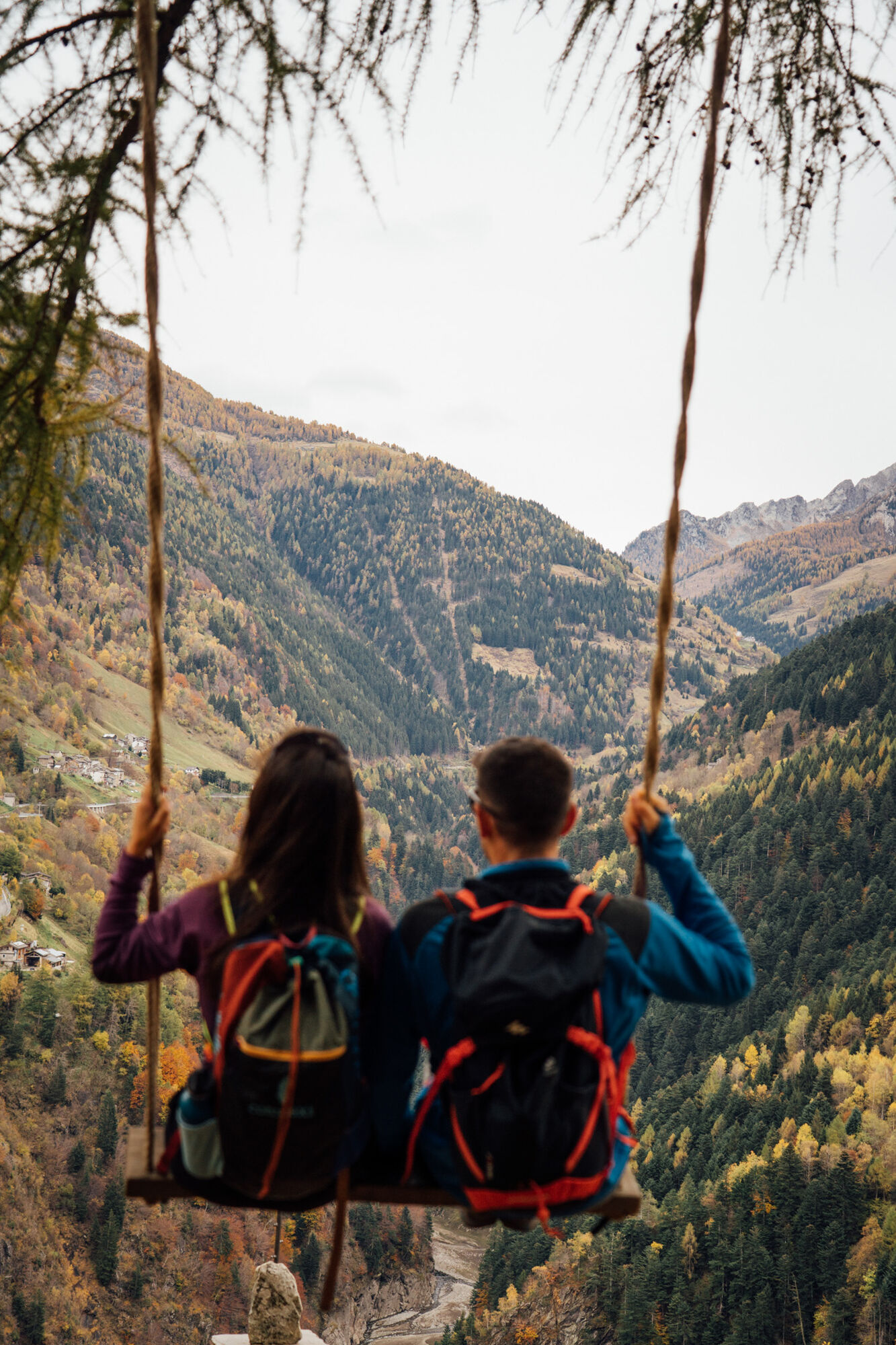
The route - with respect to the Madonnina - starts on the opposite side of the road, to be crossed carefully. The first section climbs with some steepness and exposure; some passages are equipped with a fixed chain. The climb - about 100 m of elevation gain - ends on a grassy knoll, Ciöda Granda (1,000 m). The bocchetta di Sostila is just below, northwards, at 977 m of altitude and offers a binocular to better observe the view towards the Rhaetian Alps and up to Lake Como. The trail 170 is to be followed along the entire wooded ridge and up to Culmine di Campo at 1,302 m altitude. Culmine is crossed by La Via del Sole, a circular trail - which this excursion follows only partly - with a picnic area, a "nano" Tibetan bridge, games and wooden sculptures, and a large swing overlooking Val Tartano.
The route descends to Campo Tartano in the Cantone district, one of the most historic in the town. The signage indicating the "Sentiero delle contrade di Campo" leads to Malcorta locality, then to Dosso di Sopra hamlet (952 m), to be crossed. The trail, which starts where the cluster of houses ends, follows the slope - at times steep - of Culmine and returns to the starting point on SP 11.
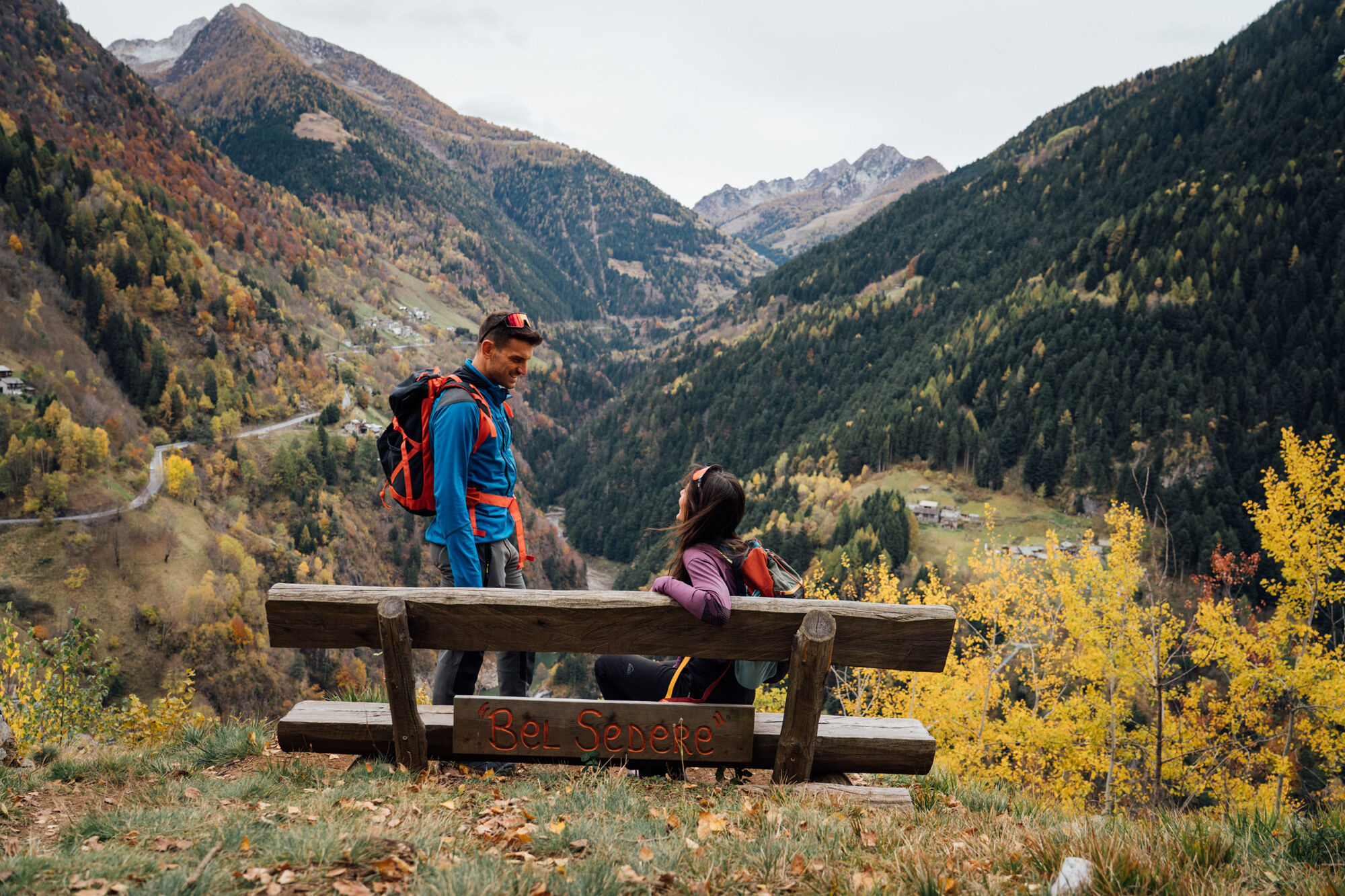
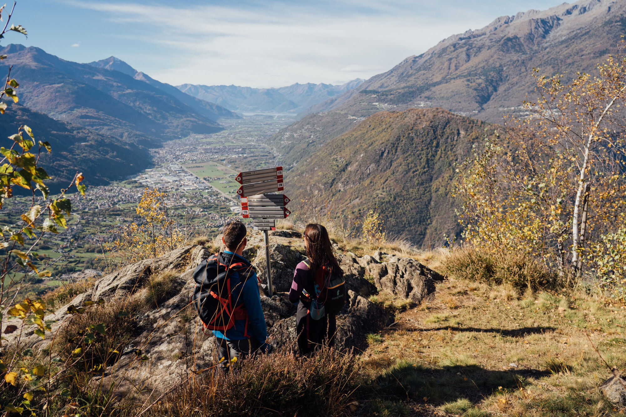

P on SP 11 - Bocchetta di Sostila - La Via del Sole - Culmine di Campo - Campo Tartano - Dosso di Sopra hamlet - P on SP 11
Attention: the trail is exposed in the first stretch and equipped with a fixed chain for a few meters.
Follow Provincial Road 11 "Orobica" from Talamona, SS38 roundabout, at about km 7.7 (after the 10th hairpin bend) near the Madonnina
T2
The route can also be done with start/finish at Campo Tartano.
Priljubljeni izleti v okolici
- 5.0
Dazio's Colmen - A Mediterranean oasis in the midst of the Alps
svetlobaPohodništvo 5.62 km - 5.0
Fusine-Dordona Pass (MTB-EMTB)
svetlobaMountainbike 20.4 km Val di Mello, an extraordinary nature reserve
svetlobaPohodništvo 4.82 km- 5.0
Via Priula da Mezzoldo a Ca’ San Marco
svetlobaPohodništvo 9.65 km Predarossa Valley, extraordinary high-altitude landscape
srednjaPohodništvo 4.26 km- 5.0
Costiera dei Cech among forests, vineyards and villages
srednjaPohodništvo 5.43 km - 5.0
Lago di Ponteranica inferiore
srednjaPohodništvo 6.52 km Alpe Piazza Rifugio
svetlobaPohodništvo 3.06 km- 5.0
Buglio al Monte Alpe Scermendone
svetlobaMountainbike 27.8 km Alpe Piazza and Monte Lago in the heart of the Valtellina Orobie
težkoPohodništvo 6.11 km

Pohodništvo in sledenje


Ne zamudite ponudb in navdiha za naslednje počitnice
Vaš e-poštni naslov je bil dodan na poštni seznam.





