


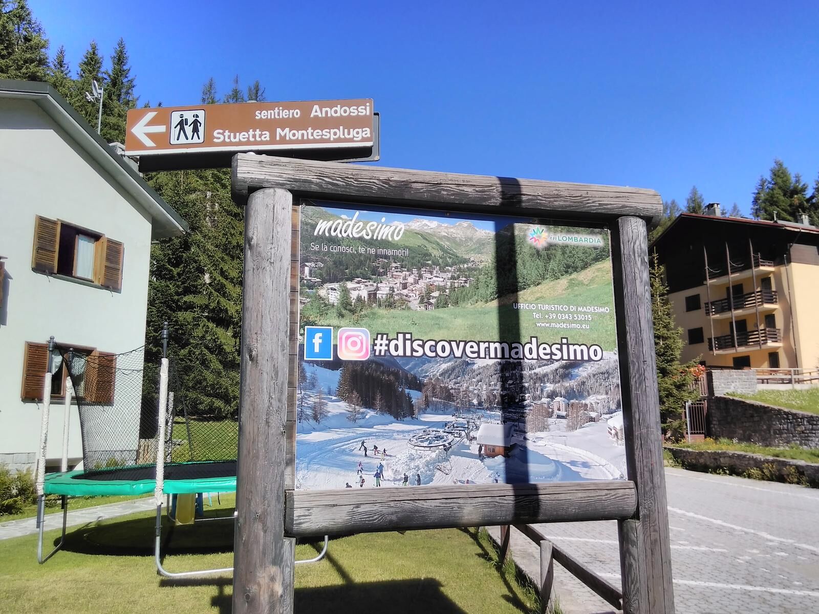
Madesimo Andossi with joelette
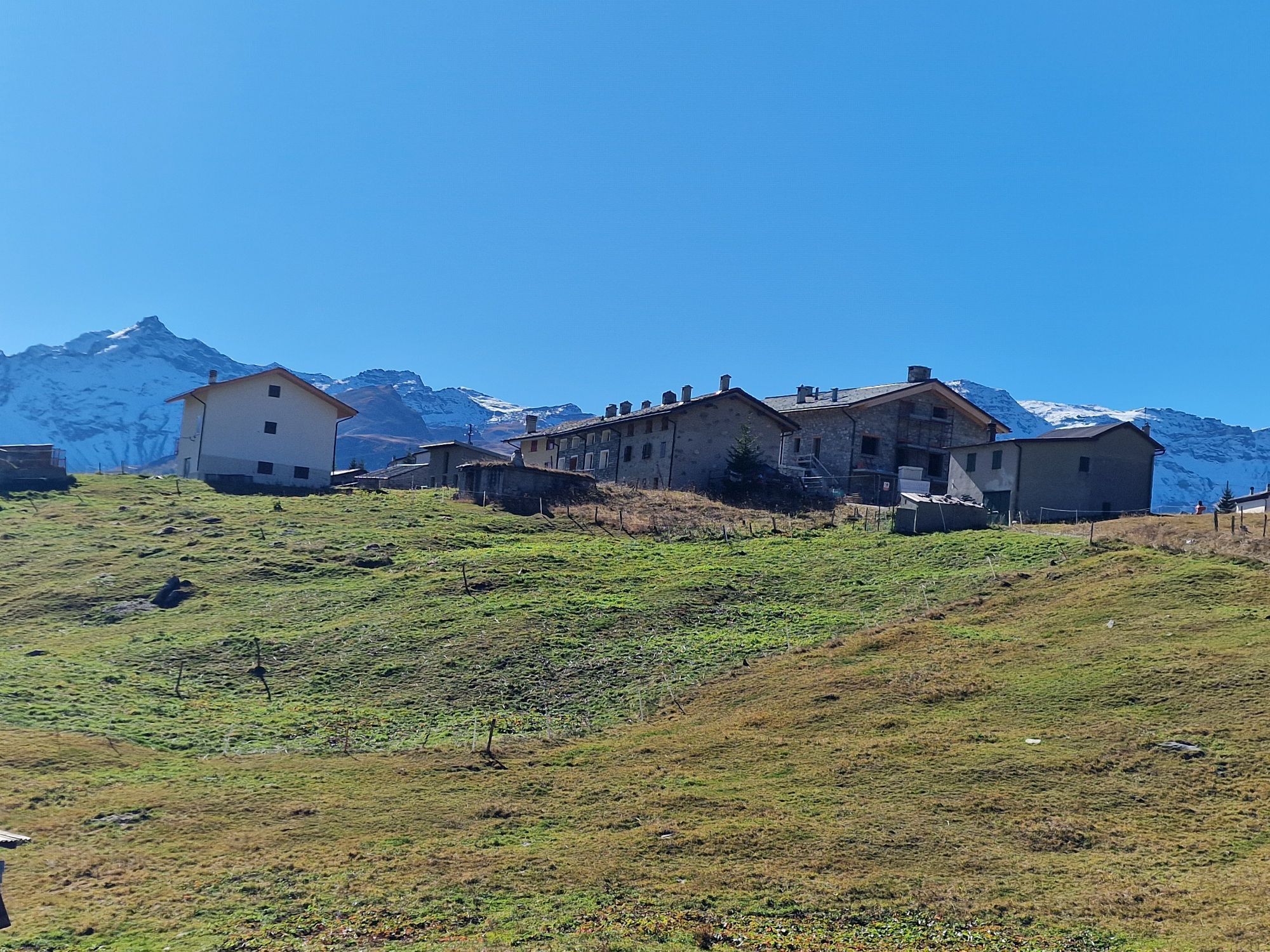
The village that Giosuè Carducci fell in love with, spending much of his summer time there, remains a jewel of the Chiavenna Valley. The 'high altitude (1 500m) in which it lies and the last of the municipalities...
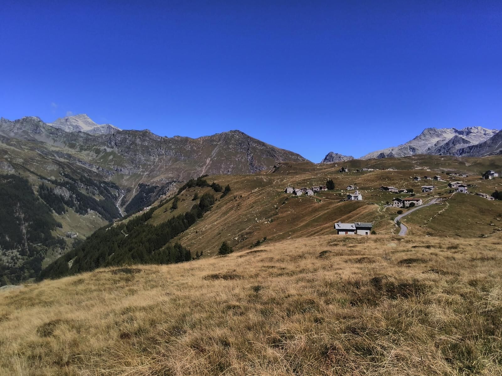
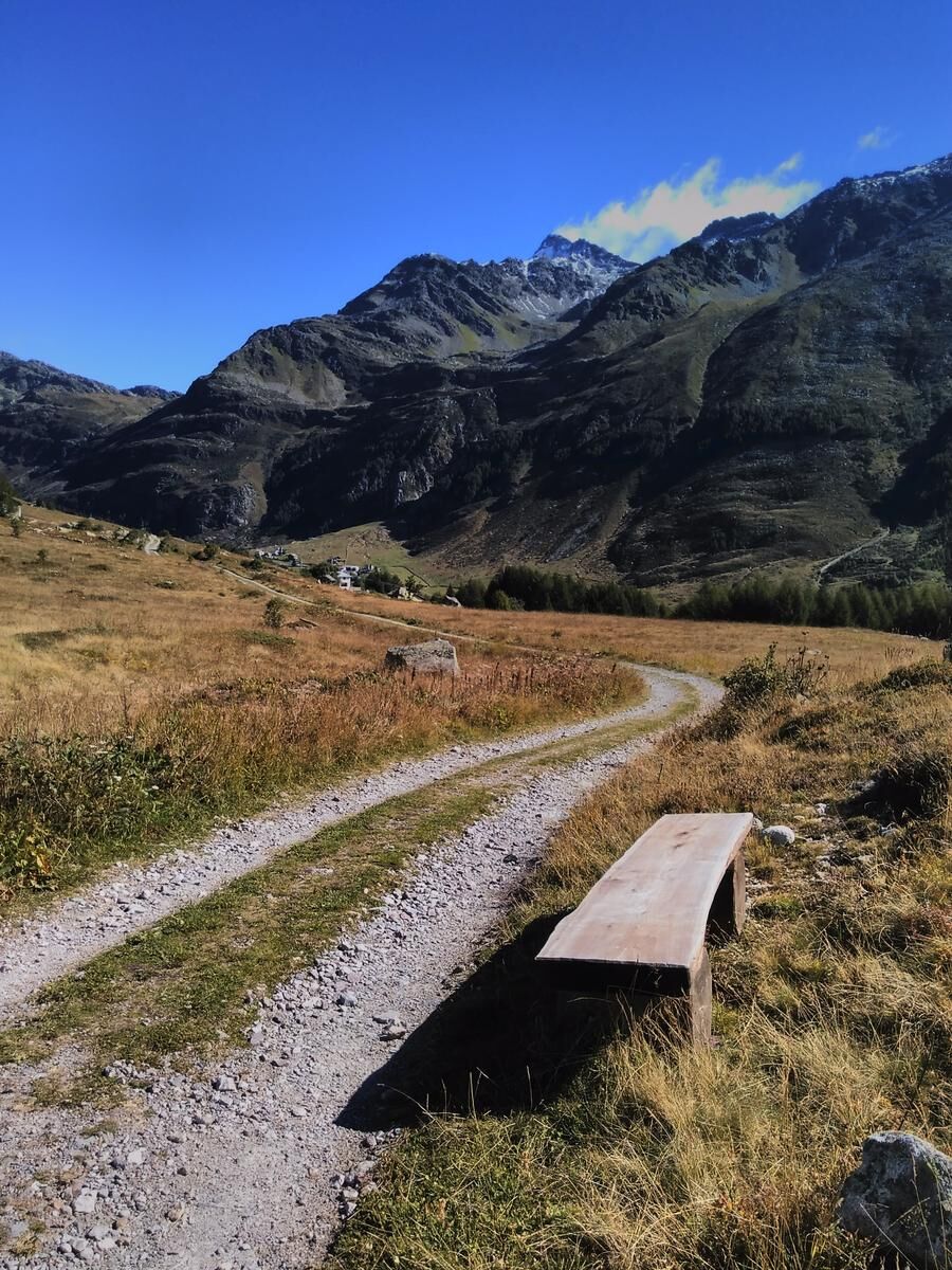
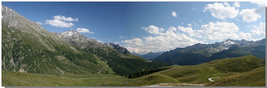
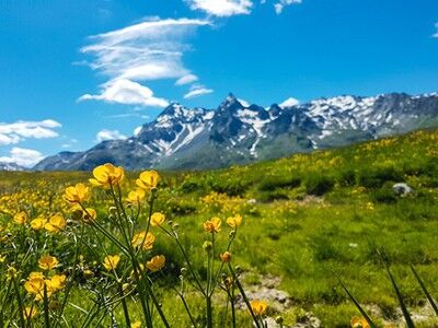
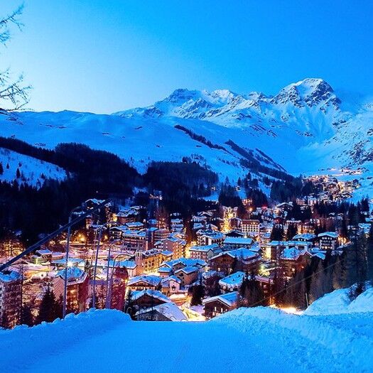
The village that Giosuè Carducci fell in love with, spending much of his summer time there, remains a jewel of the Chiavenna Valley. The &039;high altitude (1 500m) in which it lies and the last of the municipalities on the valley floor before the Swiss border, make it a mountain pearl where you can relax and "disconnect" from everyday life. A town that thrives on winter sports and in summer releases the colors and scents of the alpine blossom among the paths and walks in the larch and fir forests. A 'hike that ends on the heights of the Andossi that gives step by step an unparalleled view to the borders of the Belpaese.Link to see the weather in real time via "webcam Panomax" located on the Andossi: Please note that the route on the map remains one of the many possibilities of the path that in this case starts from Madesimo and reaches the Andossi. Obviously depending on personal needs, timing and third causes everyone is free to arrange the terms of the trail according to circumstances.

PARKING (see map): ample and free although in high season it is more difficult to find space!
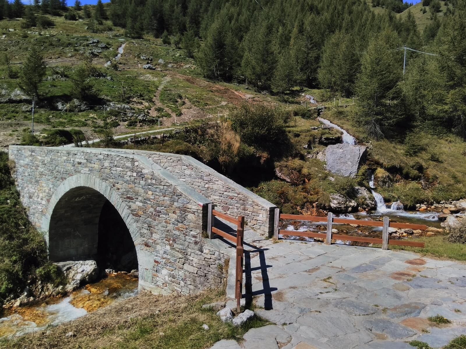
STARTING POINT: there are several starting points depending on preferences, timing and possibilities: those shown on the map are preferred if you want to start from the footbridge that runs along the Scalcoggia River.
USEFUL LOCAL ENTITIES AND REFERENCES: CM of Chiavenna, municipality of Madesimo.T
EMPISTS WITH JOELETTE:BOTTOM: road, dirt road, trail.EXPOSURE, DANGERS: downhill sections sometimes steep so need at least 3 people to carry.
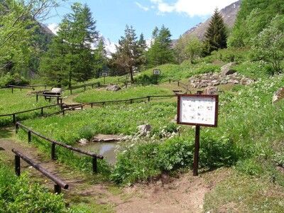
WATER WHERE: there is certainly no shortage of fountains along this trail. The first one is at the beginning of the footbridge near parking lot 2, then going up to the Andossi there are several fountains and rest areas.
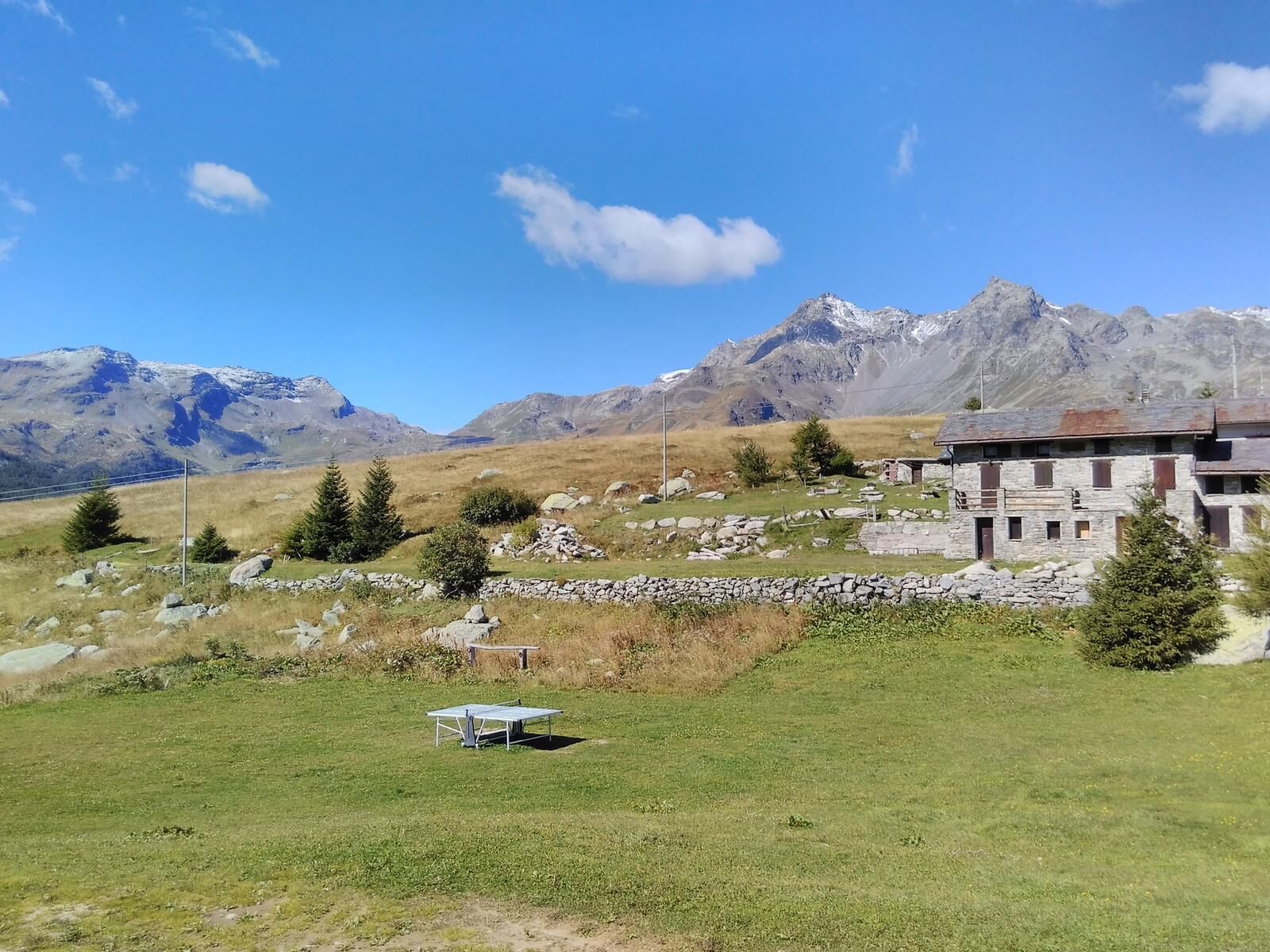
RETURN: continuing north of the Mai Tardi Refuge, you reach a group of houses from which you cross a shortcut of indicated trail (C7) that leads back to the main dirt road of the outward journey, closing the route to the Andossi in a loop (see map).
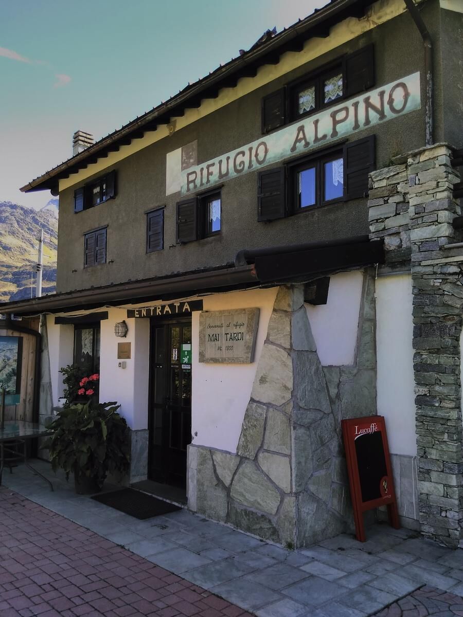
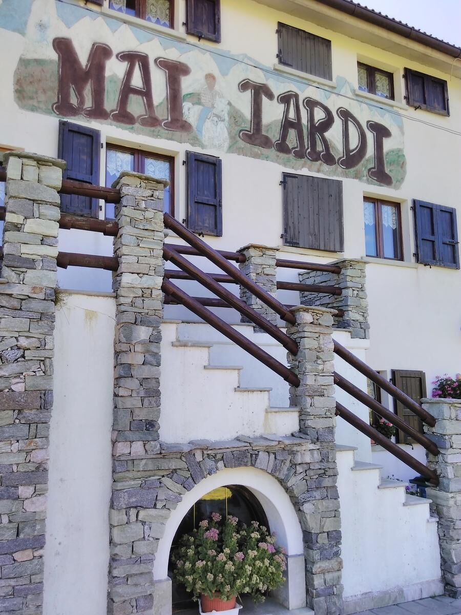
REFUGE, RESTAURANT, APPOINTMENT: Ristoro La Baitella, Rifugio Mai Tardi and Ristoro Pasini - Località Andossi..
ACCESSIBILITY Mai Tardi Refuge (tel. 349 5081883 - http://dns633altair.wixsite.com/maitardi)
ENTRANCE: no obstacles HYGIENIC SERVICES : access for the disabled. Overnight accommodations: call for availability. NB: Ref. Mai Tardi is OPEN from December to April (winter period) and from mid-June to mid-September (summer period).I MPORTANT: during the winter period, vehicles will arrive as far as Teggiate SS36, from here you can reach the refuge on foot about 1.5 km away or by snowmobile.It is recommended to ask the manager for more information before organizing the trip.Priljubljeni izleti v okolici
-
Anello panoramico delle cascate dell'Acqua Fraggia - Savogno
svetlobaPohodništvo 3.44 km -
10km Wanderung
svetlobaPohodništvo 10 km -
Pizzo Spadolazzo da Rif. Bertacchi
srednjaGorski pohodništvo 13.4 km -
5.0
Montespluga - Splügen Pass - Bergseeli - Lago Azzuro - Bocchetta della Zacopel - Montespluga
težkoPohodništvo 7.15 km -
Suretta
svetlobaPohodništvo 11.3 km -
5.0
Da Montespluga al Lago d’Emet
srednjaPohodništvo 7.94 km -
5.0
Chiavenna - Cranna - Borgonuovo di Piuro - Chiavenna Ring
srednjaPohodništvo 8.93 km -
Montespluga - Lago di Montespluga - Cardinello Schlucht - Isola
srednjaPohodništvo 9.38 km -
Savogno with joelette
Pohodništvo 2.91 km -
Rifugio Chiavenna
svetlobaPohodništvo 4.20 km

Pohodništvo in sledenje


Ne zamudite ponudb in navdiha za naslednje počitnice
Vaš e-poštni naslov je bil dodan na poštni seznam.