


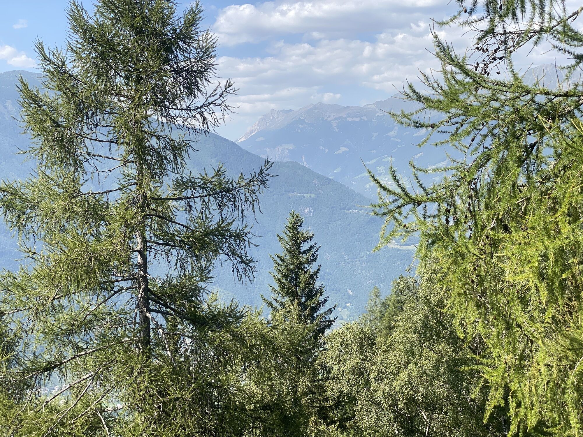
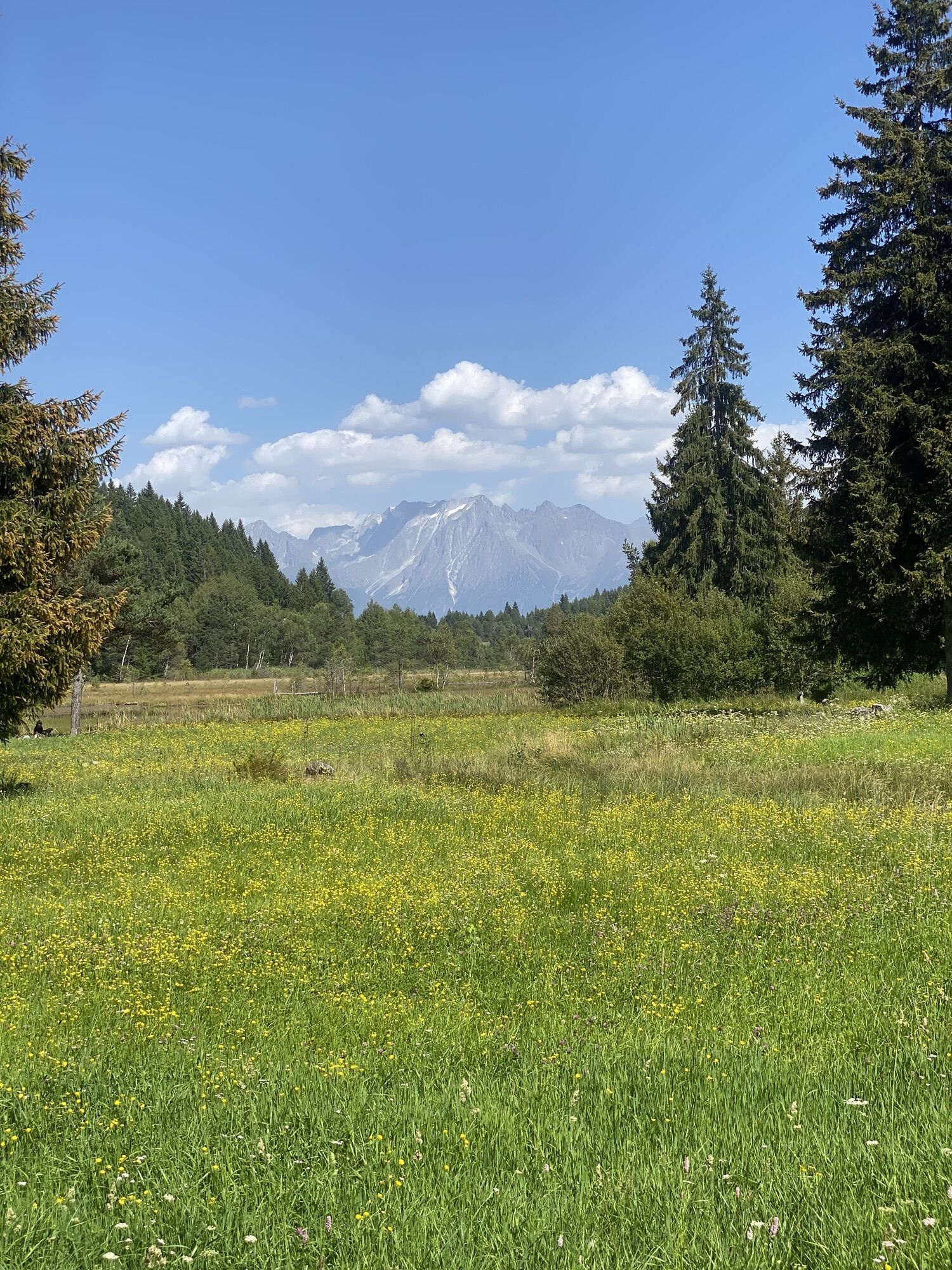
Pian di Gembro Nature Reserve loop (1350 m)
Stopnja težavnosti: T1
Fotografije naših uporabnikov
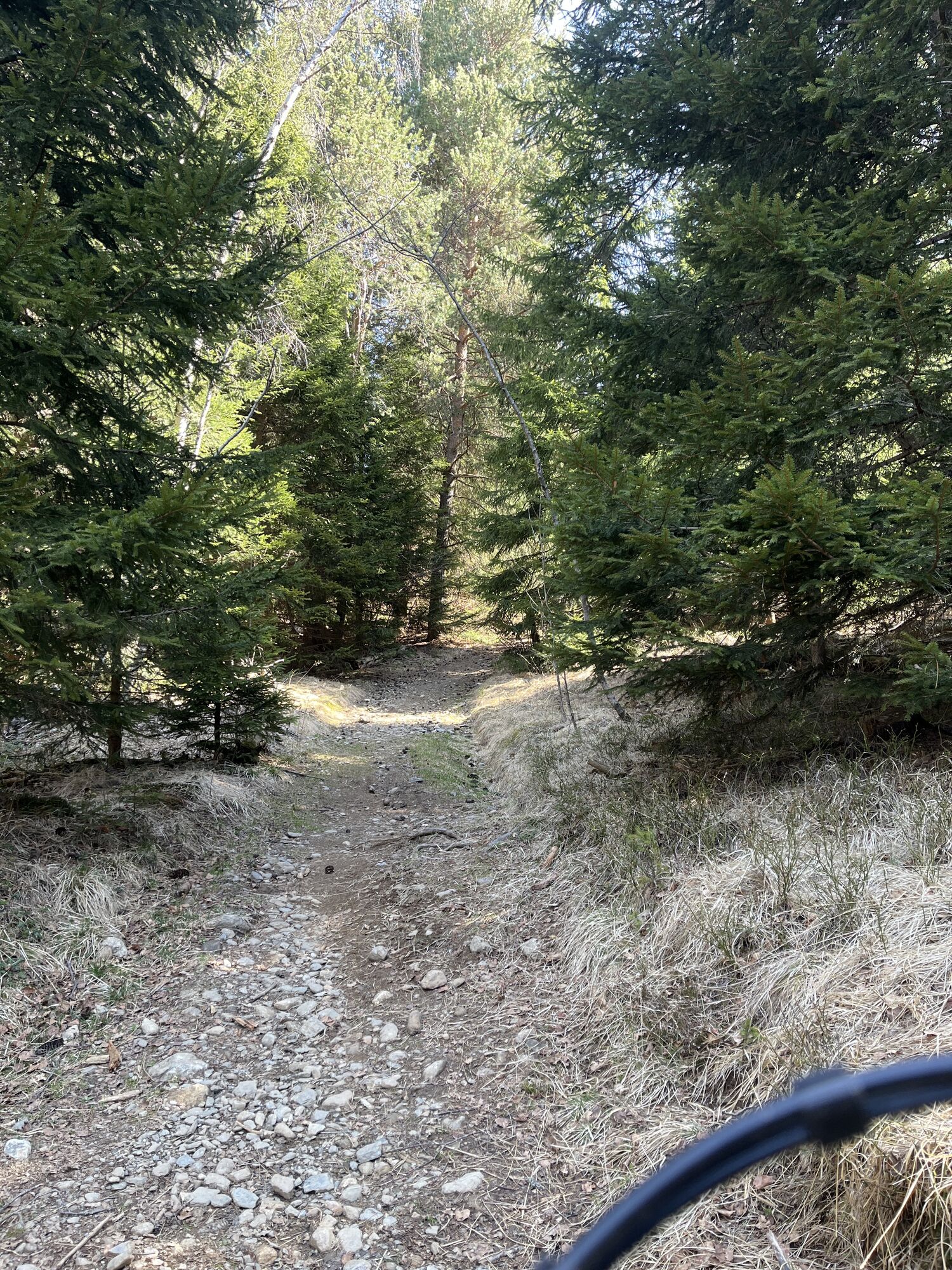
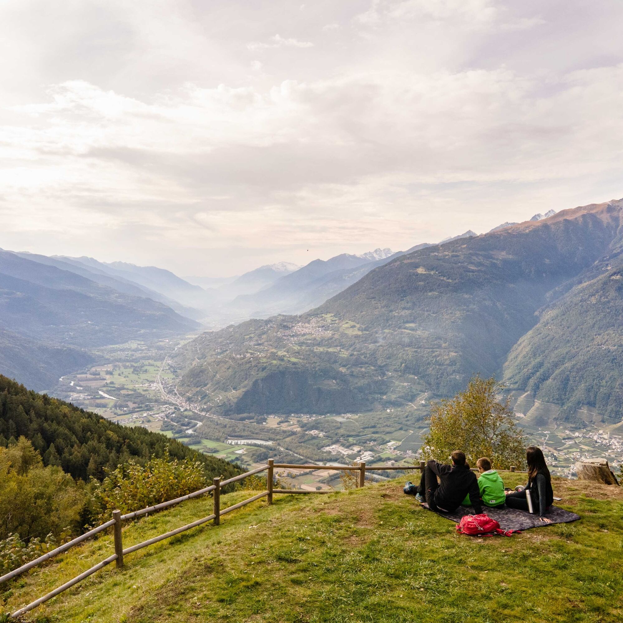
After crossing the small bridge before the Pian di Gembro (1350 m) road sign, leave the asphalt to pass by a refreshment point and continue along the pedestrian path that descends to the edge of the peat...
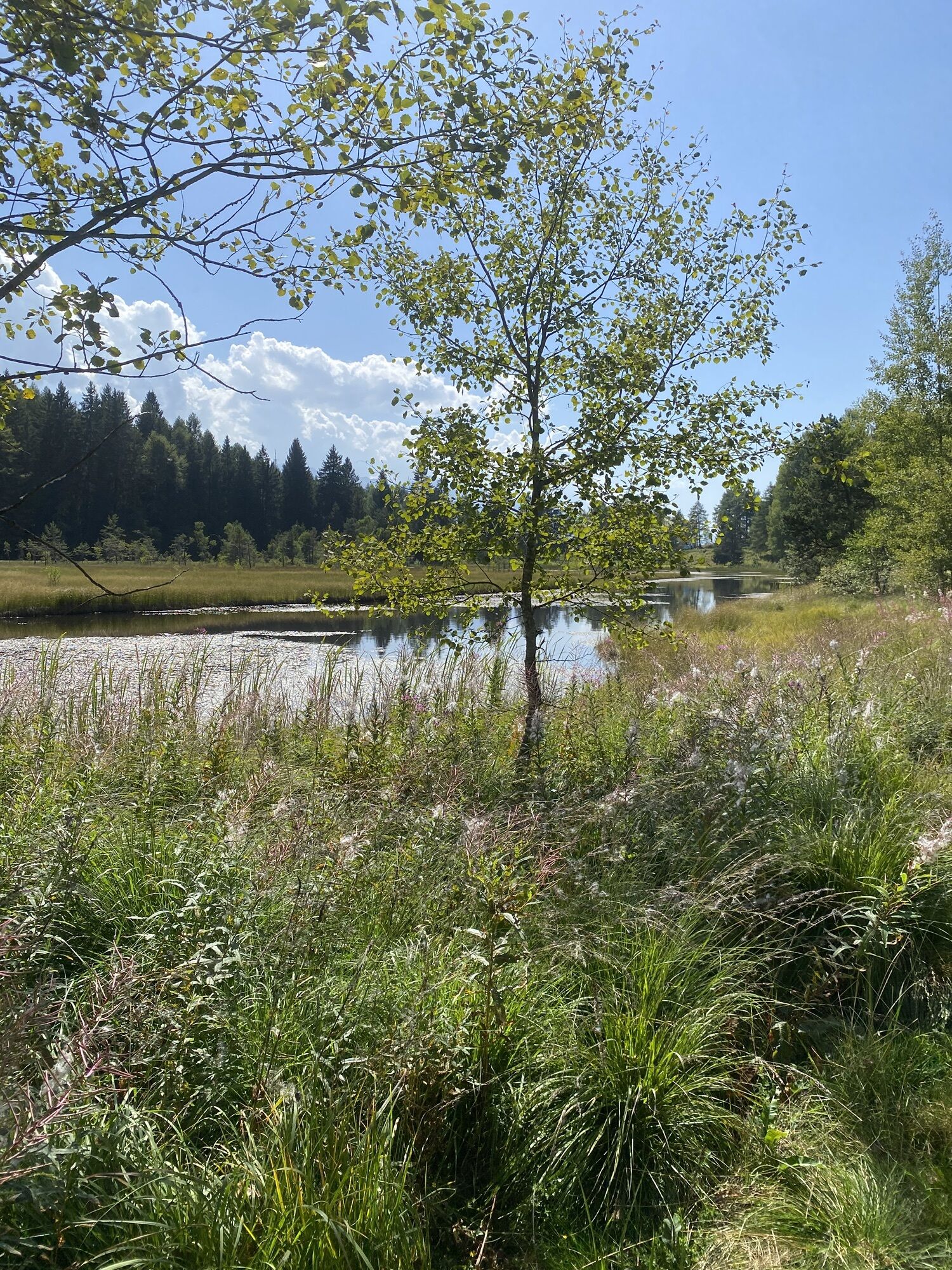
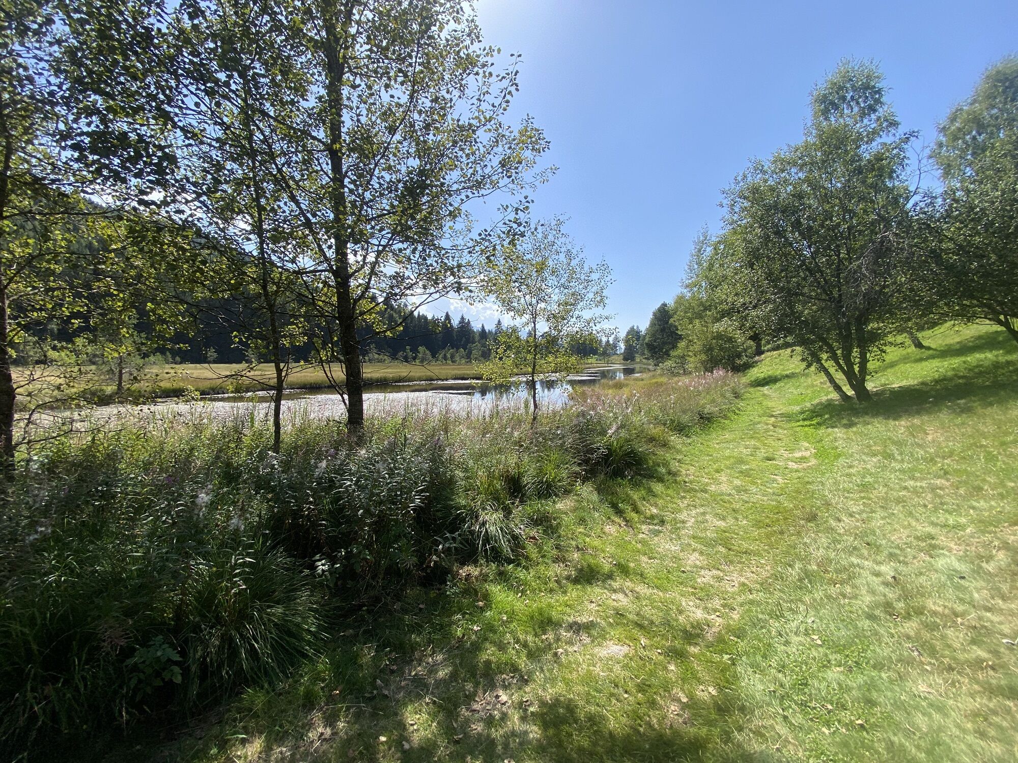
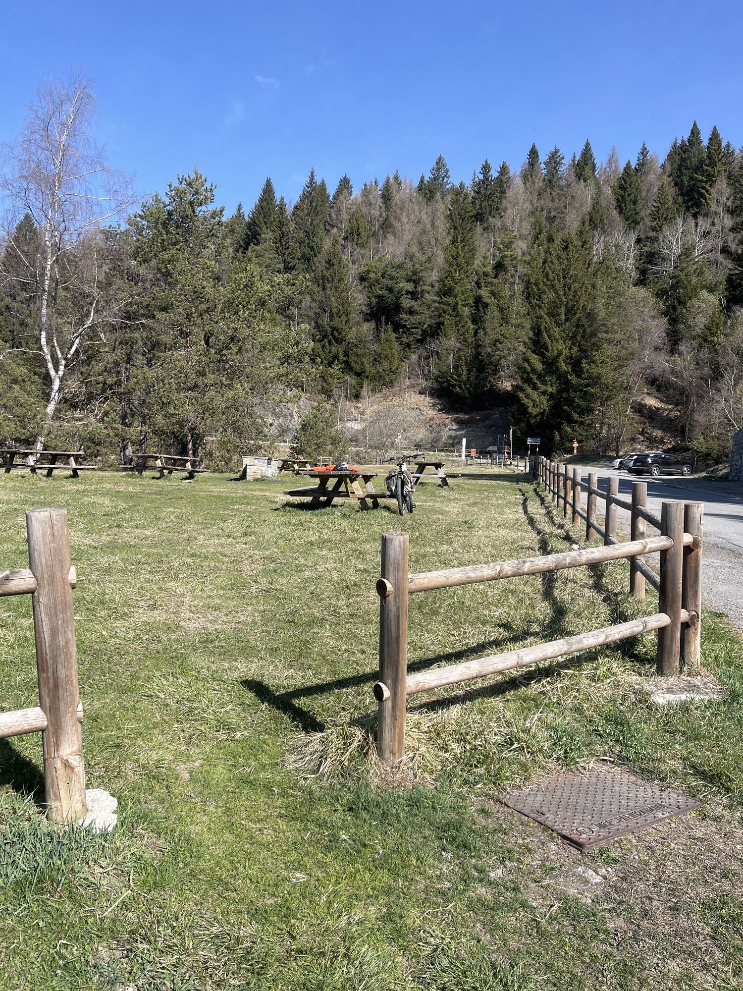
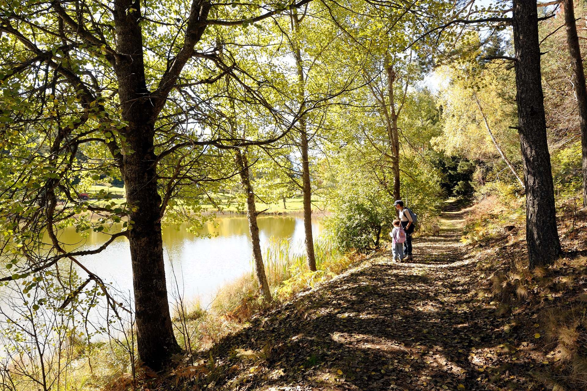
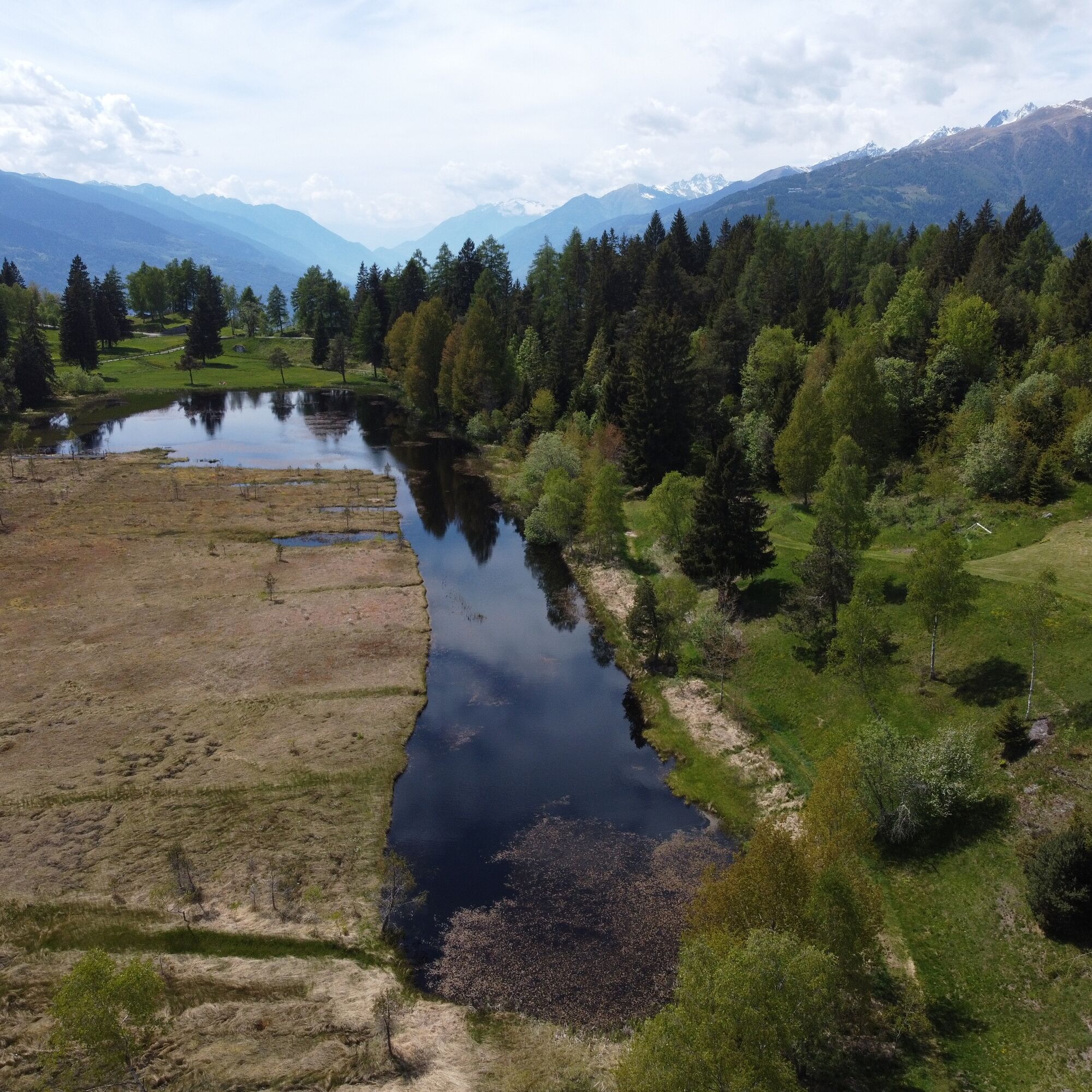
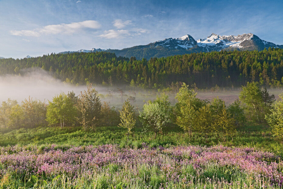
After crossing the small bridge before the Pian di Gembro (1350 m) road sign, leave the asphalt to pass by a refreshment point and continue along the pedestrian path that descends to the edge of the peat bog. This part of the Nature Reserve might not seem particularly dangerous, presenting itself as a wet area completely covered in vegetation often found in the mountains. But it is better not to be deceived: as the numerous signs communicate, it is very dangerous to take even a few steps into the ponds, which respond to body weight like real quicksand. Staying on the marked path ensures no danger. The metal walkway passes a small group of Scots pines and birches and leads onto a dirt road; continue the route keeping to the right. After a few steps on the left, you can reach the reserve’s educational room where you can observe some terrariums set up with the local flora and fauna. For the more observant, a trolley and some rails will be easy to spot; these testify to the peat extraction activity carried out in the first half of the 1900s. Right behind the educational room, it is possible to walk a short wooden footbridge that allows observation of the “eye of the peat bog.” The route continues on the dirt road until reaching the start of the Monte della Croce Historical Military Trail. The path continues and descends from the road on the left to reach an artificial lake formed by peat extraction. Past the lake, turn right to reach the small church of San Fortunato; here the view over the Valtellina is unique and worth a photo. Returning towards the small lake, resume the dirt road on the left and enter a forest of red firs. The road rises slightly until reaching the huts at Valcheola (at this point the path meets trail 349, which climbs from Aprica). Continue on the road, passing a brief descent, until you find a turnoff on the right that leads east and back to the start of the route. After crossing the last two wooden footbridges, you return to the starting point.

Da
Da
Da
Normal hiking equipment. Trekking boots are recommended.
Our advice:
- always use proper equipment and clothing
- assess your physical conditions and those of your companions
- carefully consider the terrain conditions
- observe and anticipate weather changes
- consider daylight hours and evaluate travel time
- enthusiasm must never overshadow necessary caution
The Pian di Gembro Nature Reserve can be reached by:
car: starting from Aprica and driving down towards Edolo, then turning off the state road on the left with the indication Pian di Gembro - Trivigno
on foot: starting from Aprica and following trail number 353, Sentiero Valentina
At the beginning of the Nature Reserve, there is a parking lot.
T1
Inside the reserve, there are picnic areas and refreshment points available.
An extremely easy walk full of points of interest, allowing you to appreciate the wonders of the famous Pian di Gembro peat bog, to which you can also add the interesting historical-military trail of Monte della Croce. The hike, really suitable for everyone, can obviously be interrupted at any point or combined with the previous itinerary, which climbs to the peat bog directly from Aprica.
Priljubljeni izleti v okolici
-
4.5
Rifugio Curo’ e lago del Barbellino - lago naturale del Barbellino - lago Gelt
težkoPohodništvo 26.4 km -
Giro del Lago - Le prese - Miralago
svetlobaPohodništvo 7.43 km -
Val dal Saient - Short version
Pohodništvo 11.4 km -
5.0
32.05 Poschiavo - Tirano, Trans Altarezia Bike
težkoMountainbike 29.1 km -
Charcoal Burner Route San Romerio
težkoTematska pot 2.91 km -
33.10 Le Prese - Tirano, Via Albula / Bernina
srednjaPohodništvo 14.6 km -
Schmugglerweg
Pohodništvo 9.11 km -
30.07 S. Romerio - Tirano (I), ViaValtellina
težkoPohodništvo 12.2 km -
434 Col d'Anzana
težkoMountainbike 33.8 km -
Poschiavo - San Romerio - Viano
Pohodništvo 16.1 km

Pohodništvo in sledenje


Ne zamudite ponudb in navdiha za naslednje počitnice
Vaš e-poštni naslov je bil dodan na poštni seznam.