







Monte Scale Loop Trail
Stopnja težavnosti: T3
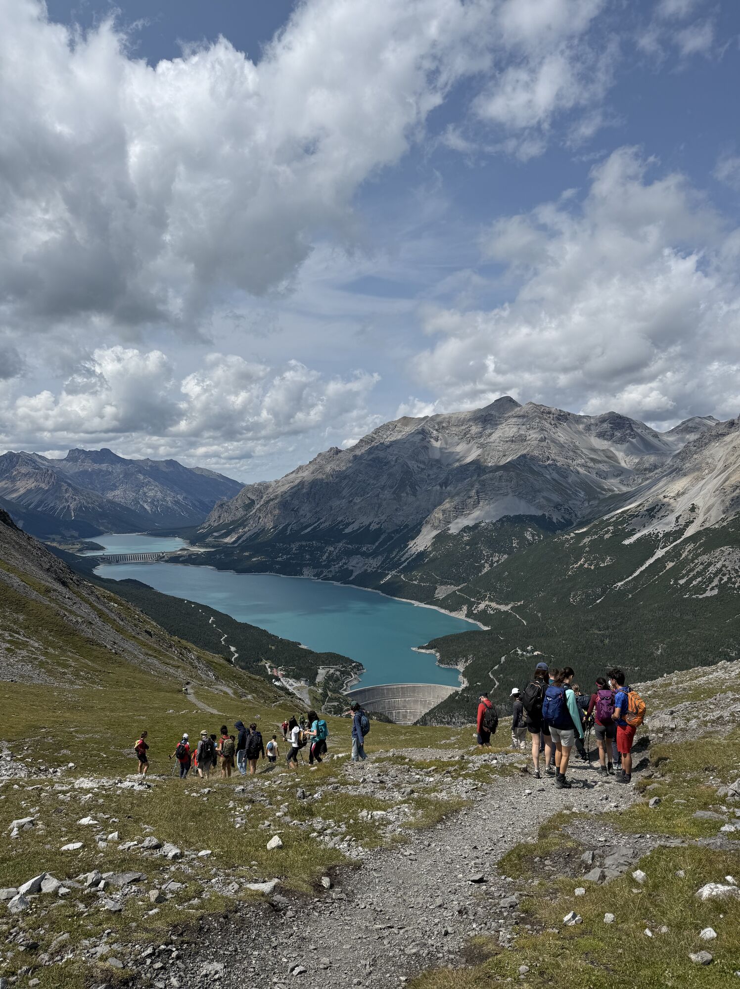
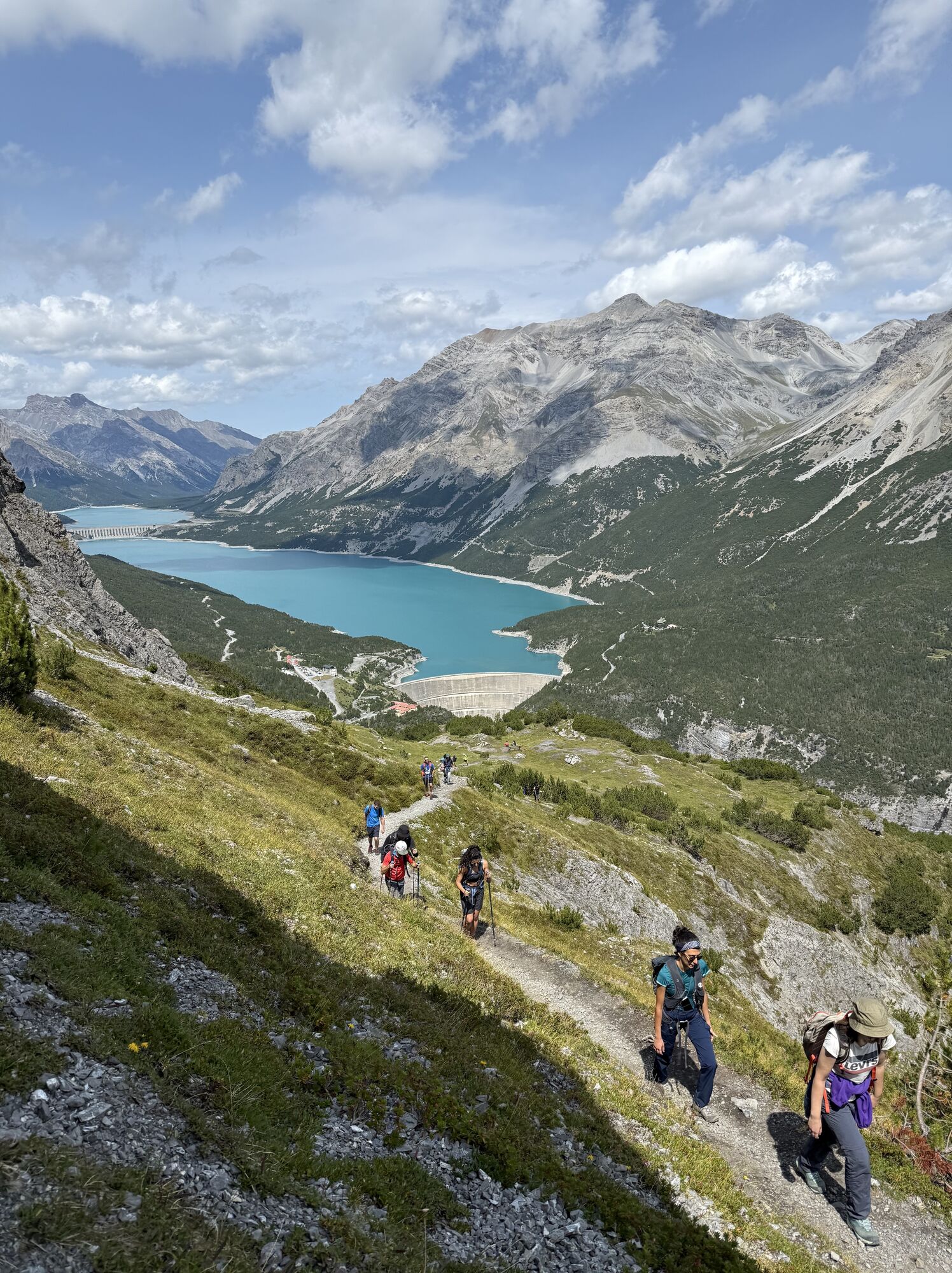
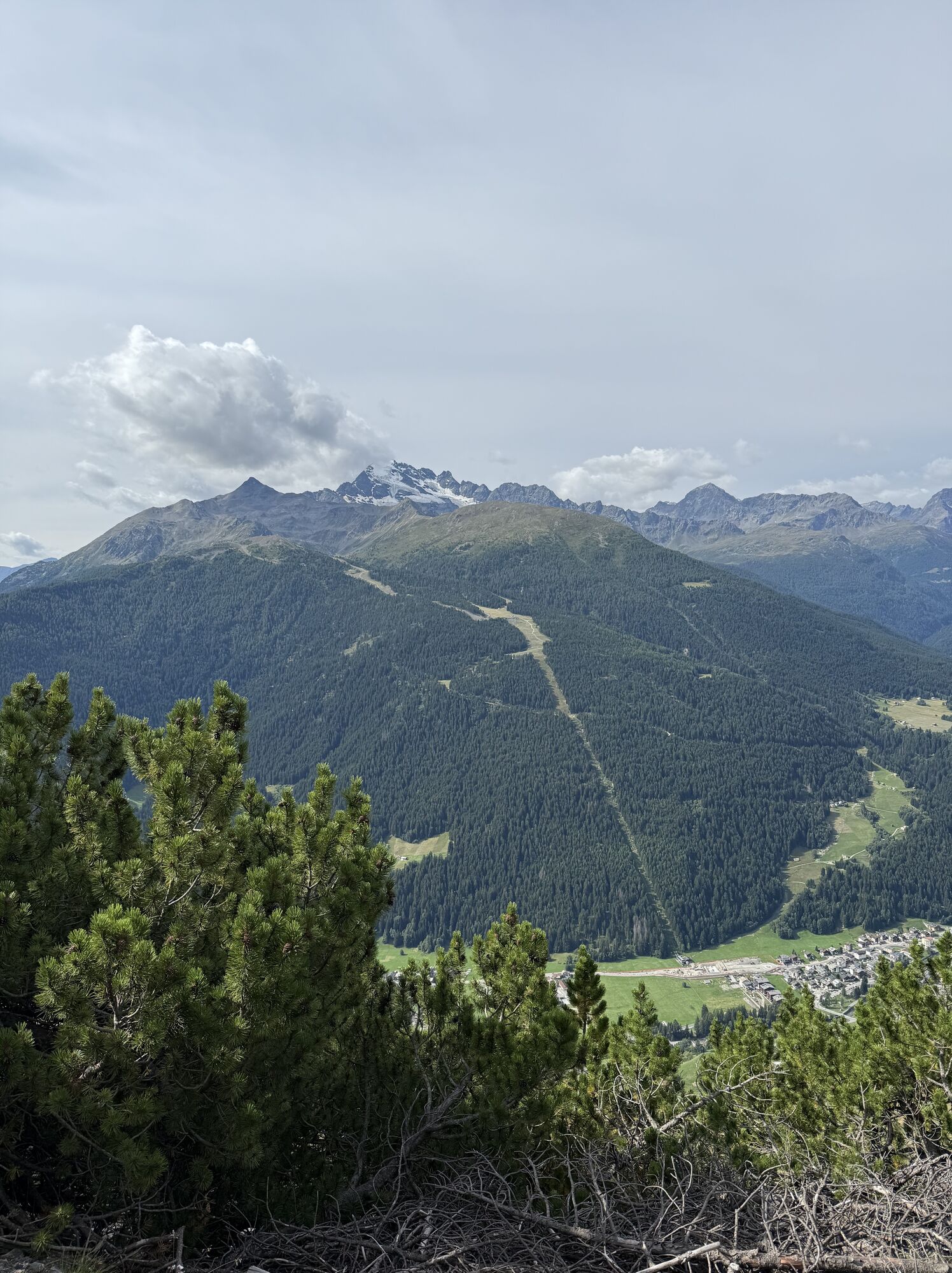
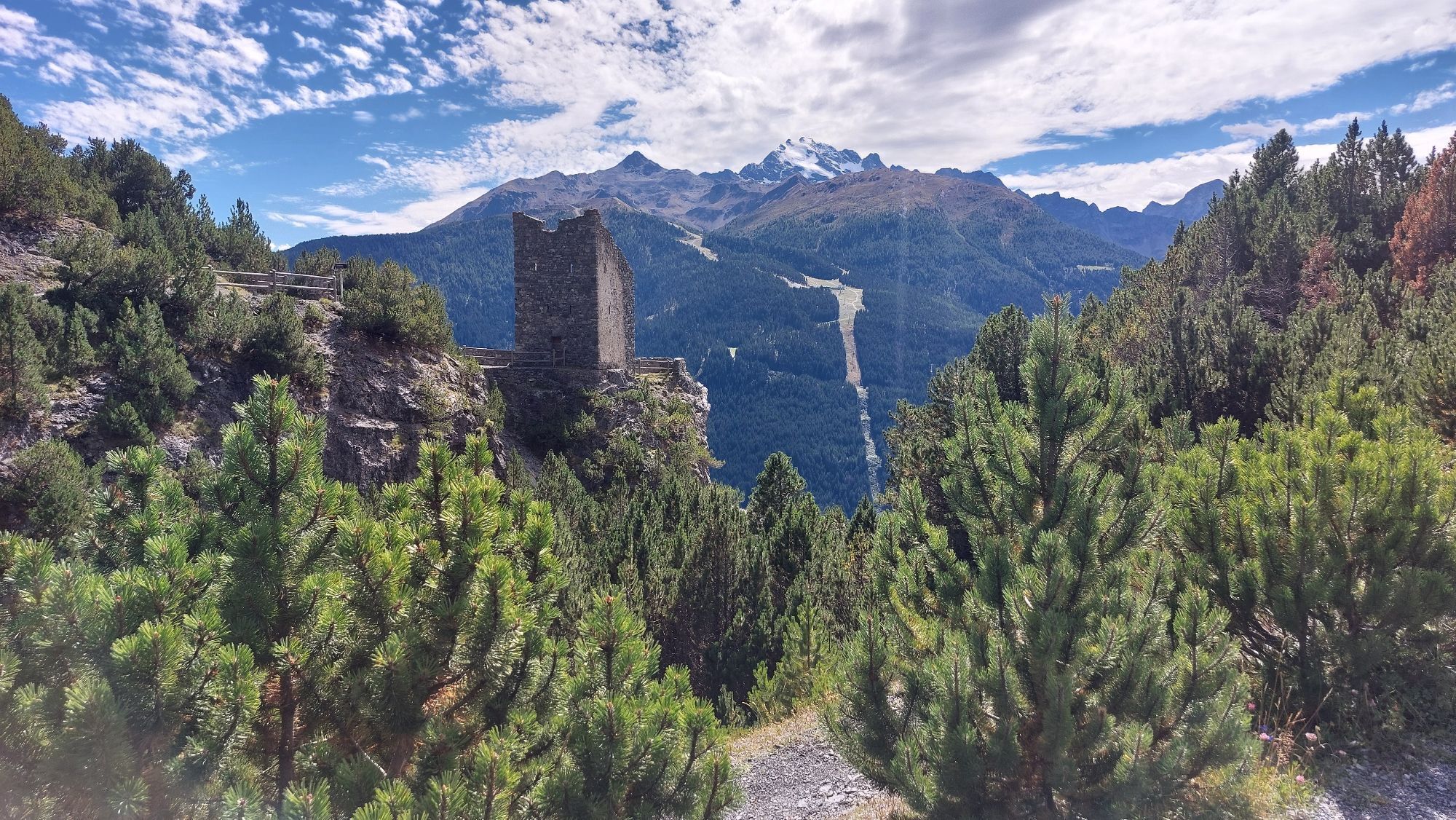
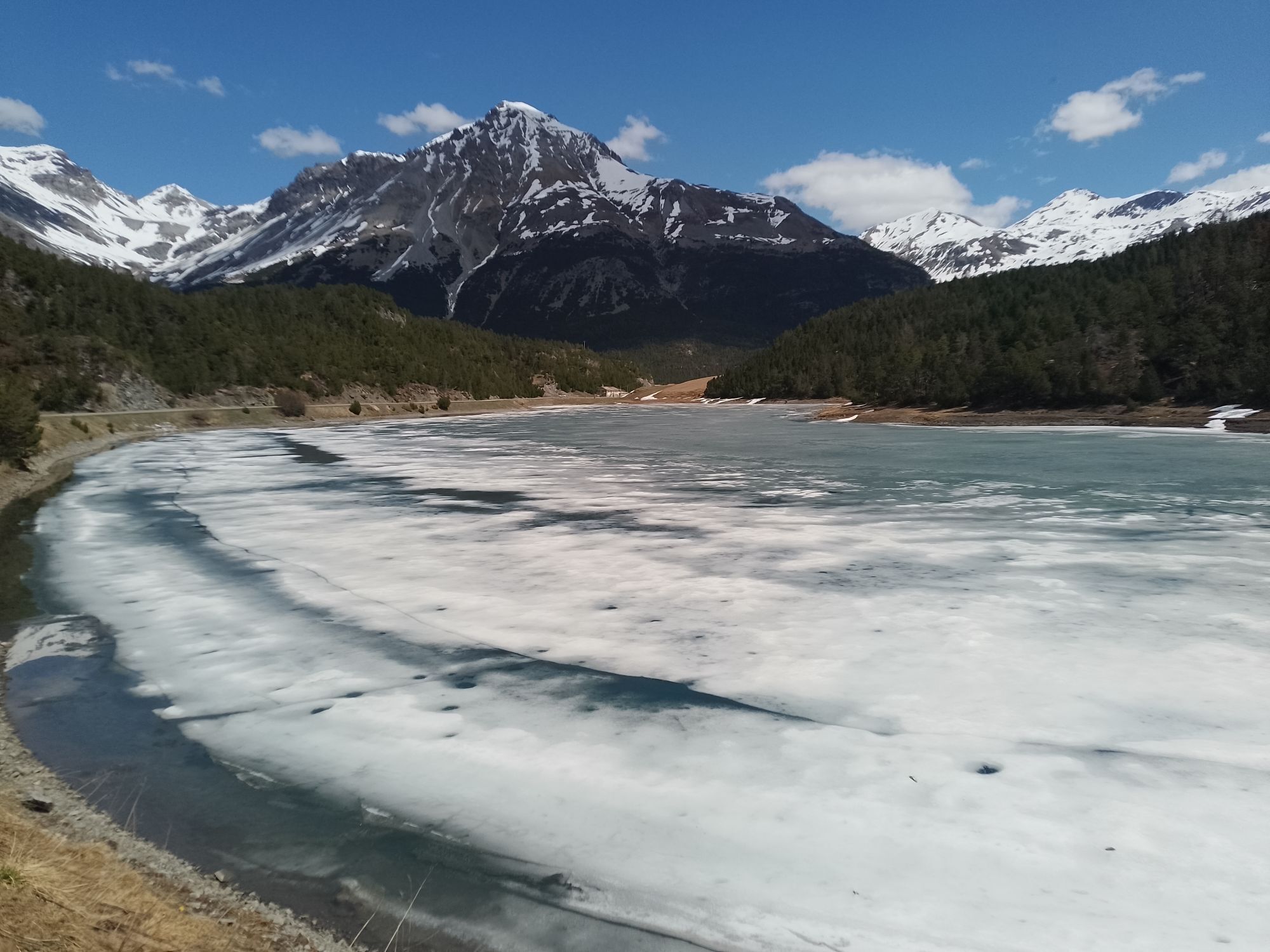

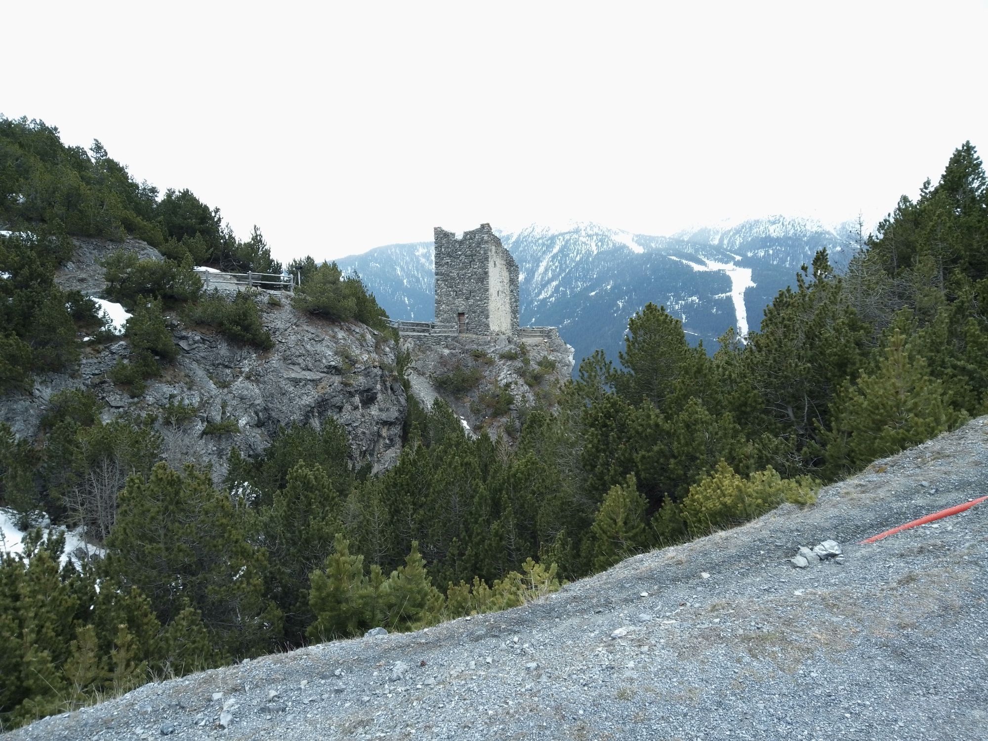
From the Fraele Towers, follow the N197.1 military mule trail uphill through a dense forest of mountain pines until you reach a ridge at the base of a rock face. You cross it on level ground by following...
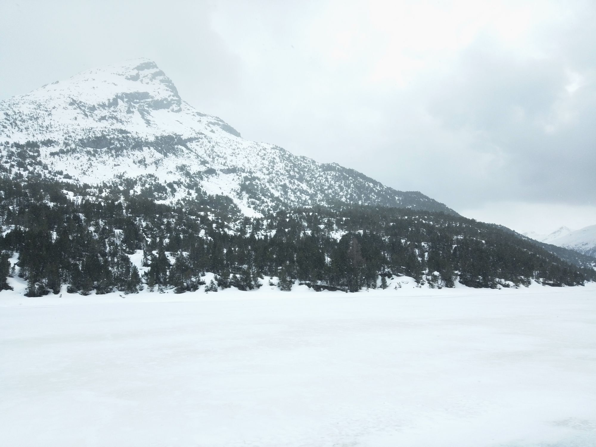
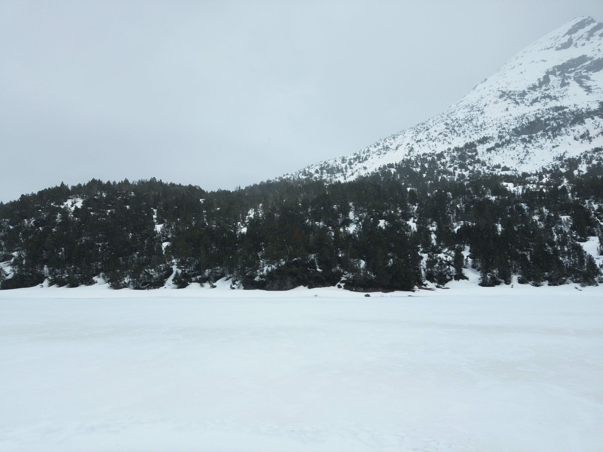
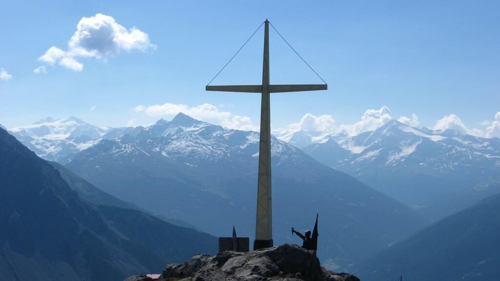
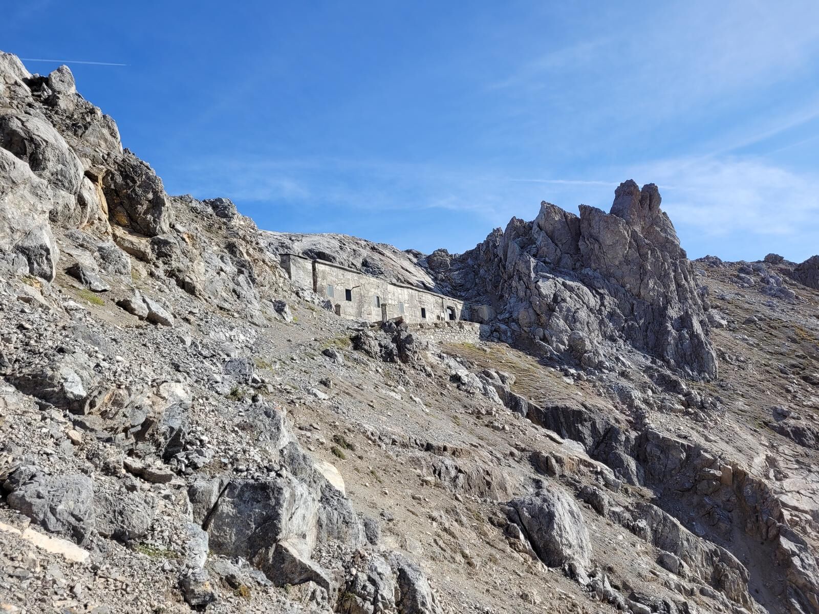
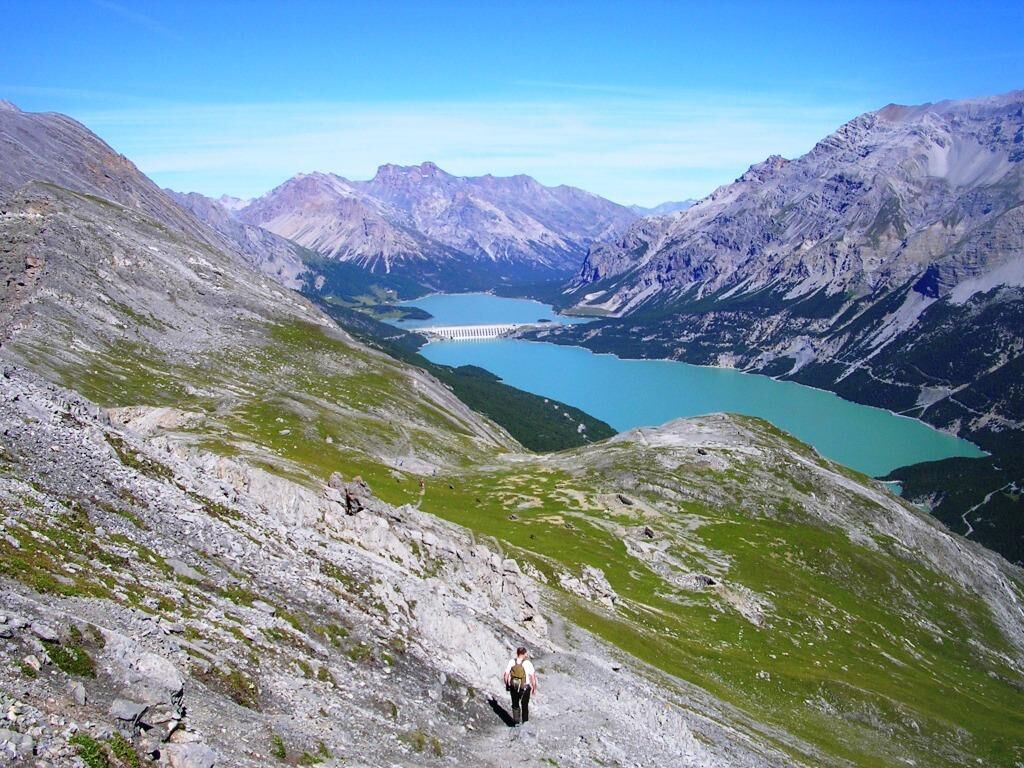
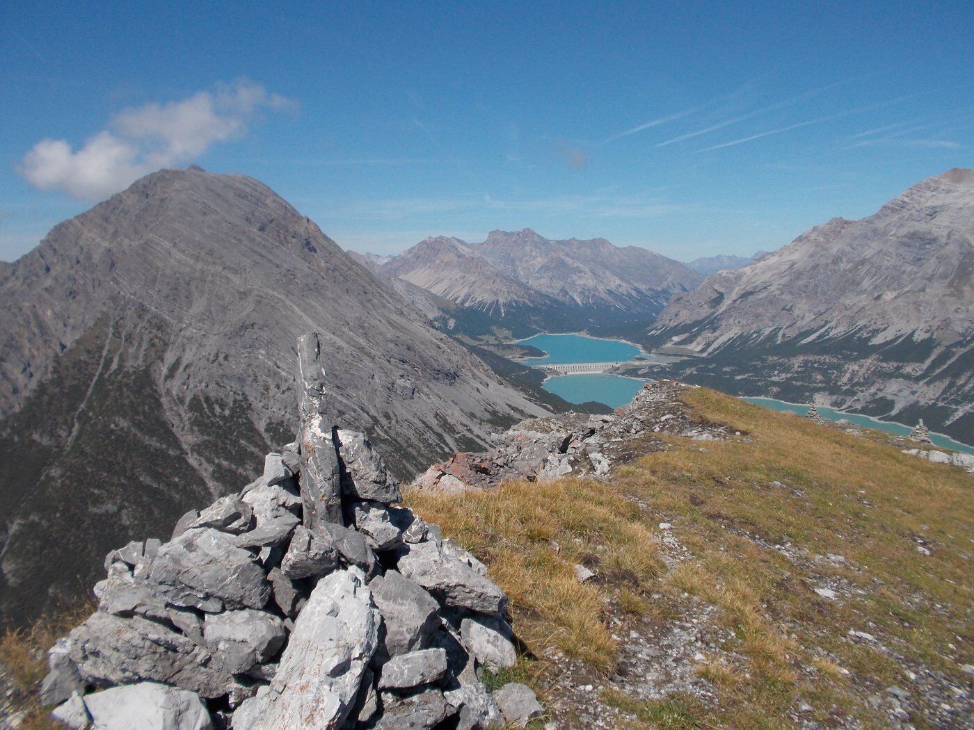
From the Fraele Towers, follow the N197.1 military mule trail uphill through a dense forest of mountain pines until you reach a ridge at the base of a rock face. You cross it on level ground by following a ledge and then climb up among boulders, gullies, and scree along the trail. After one final switchback, you reach the clearing overlooked by the Monte Scale Barracks. From inside the barracks, a tunnel with two gabled powder magazines allows you to cross the saddle and emerge on the opposite side of the mountain. A fairly narrow trail leads to the Monte Scale Cross, which offers an excellent panoramic view of the entire Bormio area. The return route follows the northern flank of Monte Scale along Trail N197. Initially, the trail crosses sparse pastures and then enters a dense mountain pine forest until it reaches the Casina del Lago, now a private shelter for fishermen on the tranquil Lago delle Scale. Skirting the lake along the paved road, you return to the starting point.


Follow the signs for the Fraele Towers. Park your car here and continue along military trail N197.1
We recommend a good pair of hiking boots or ankle-high hiking shoes.
There are no rest stops along the route, so it is recommended that you bring a sufficient supply of water and food based on your needs. The trail is uphill and exposed in places, often very narrow, and has an unstable scree surface. Suitable for hikers with some experience and appropriate footwear.
Follow the signs for Torri di Fraele and the Cancano Lakes
Public Transportation to Cancano
Near the Fraele Towers, after paying the fee in Sasso Prada.
T3
This route should be taken only during the summer months and should be avoided in case of bad weather.
Monte Scale Barracks. Known during World War I as the “Monte Scale Summit Shelter,” it was built in 1911–1912 to support the artillery positions at Fort Oga. As early as 1914, before Italy entered the war, it was equipped and fortified to serve as a strategic observation and defense post.

Spletne kamere s turneje
Pridobite vpogled
Vedno v živo na mestu z več kot 9.500 spletnimi kamerami. bergfex Kot uporabnik Pro si lahko zdaj ogledate ustrezne spletne kamere za številne izlete v aplikaciji izleti iz. Tako si lahko neposredno ogledate trenutne razmere.
Dejavnosti na poti
-

Valdidentro, Lombardia/Italia
17.07.2026 – Gorski pohodništvo -

Valdidentro, Lombardia/Italia
17.07.2026 – Gorski pohodništvo -
Valdidentro, Lombardia/Italia
01.06.2026 – Gorski pohodništvo -
Valdidentro, Lombardia/Italia
28.09.2025 – Pohodništvo -

Valdidentro Escursionismo
08.08.2025 – Gorski pohodništvo -
Valdidentro Escursionismo
06.08.2025 – Gorski pohodništvo -

Monte delle Scale il 13 ago 2024 09:08:26
13.08.2024 – Pohodništvo
Priljubljeni izleti v okolici
-
4.3
Sonnenaufgang auf der Rötelspitze im Nationalpark Stilfserjoch
Pohodništvo 2.02 km -
3.4
Sta.Maria, Prà da Vau - Lai da Rims - Alp Sot - Prà da Vau
težkoPohodništvo 14.7 km -
3.3
Watervallen wandeling
svetlobaPohodništvo 4.95 km -
4.8
Wanderung: Heilige drei Brunnen zur Berglhütte
svetlobaPohodništvo 5.51 km -
Ortler über Meraner Weg (vom Tal/Trafoi)
težkoVisokogorska tura 11.9 km -
5.0
Crap da la Pare' with Joëlette
svetlobaPohodništvo 4.58 km -
5.0
TIP Panorama Road Tyrol ➤ Stelvio Pass
svetlobaMotorno kolo 40.8 km -
5.0
His Majesty the Ortles
težkoCestno kolo 24.8 km -
4.0
Ortler Höhenweg
težkoVisokogorska tura 123.2 km -
2.0
Military Historical Hiking Trail "Scorluzzo"
srednjaPohodništvo 9.52 km
Pohodništvo in sledenje


Ne zamudite ponudb in navdiha za naslednje počitnice
Vaš e-poštni naslov je bil dodan na poštni seznam.





