



Mountains of Sobretta


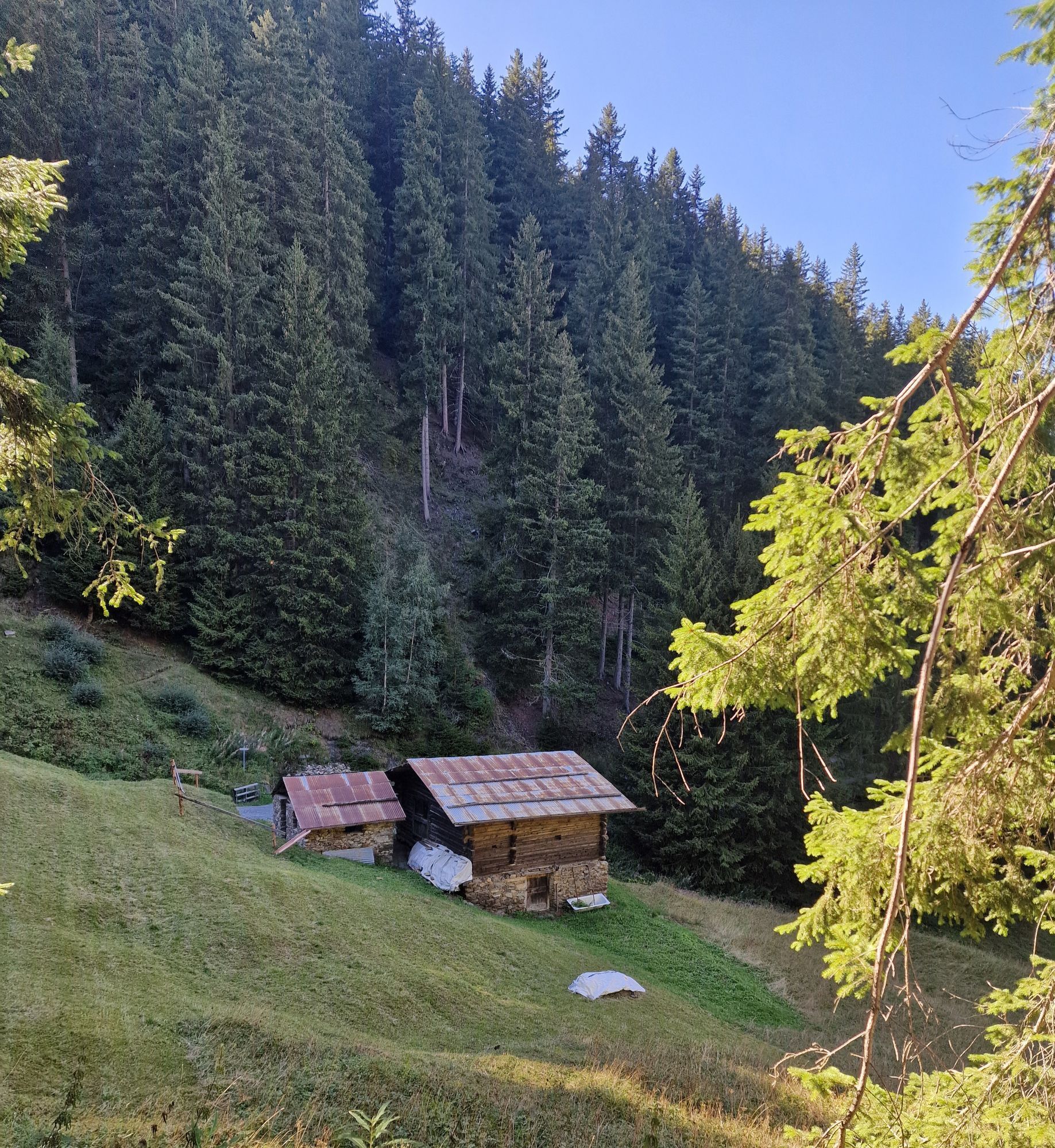

From Bormio, take the cable car up to Bormio 2000 where it is possible to take trails S543 and then S543.1 which cross the ski slopes and lead to the locality La Rocca. In this area there are some refreshment...
From Bormio, take the cable car up to Bormio 2000 where it is possible to take trails S543 and then S543.1 which cross the ski slopes and lead to the locality La Rocca. In this area there are some refreshment points where you can stop to admire the imposing surrounding alpine scenery and taste dishes of the excellent local cuisine. Continue at altitude along trail S542 which leads to Sobrettina and downhill along trails S543, S543.2, S518, S522 to the mountains of Sobretta di Sotto. From here the route becomes mostly flat with some downhill sections and short climbs. You enter a dense forest of Red Spruce with enchanting panoramic openings over the Valfurva. The localities Calvarana, Le Poce, and Campolungo are passed, and to the right, a steep trail, S540, is taken which leads first to Feleit and then Bormio.

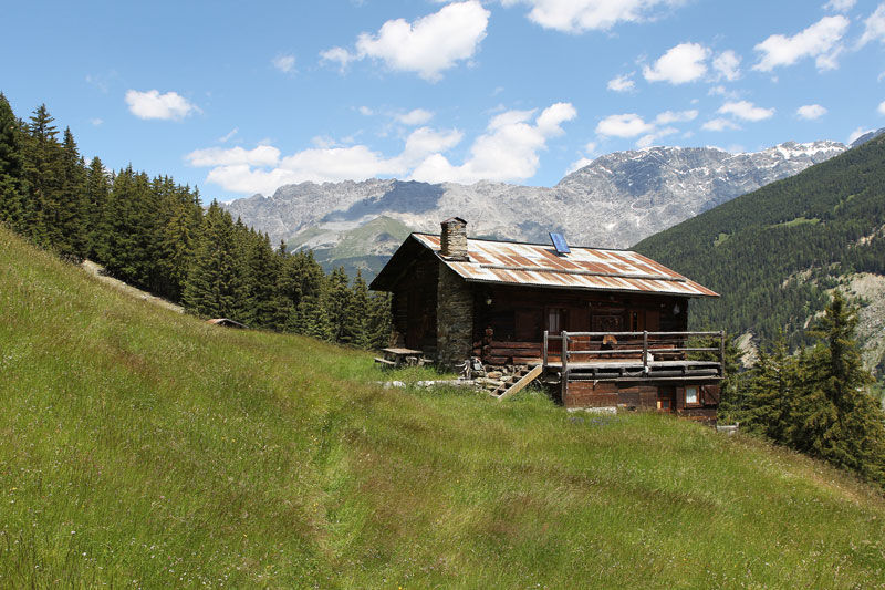
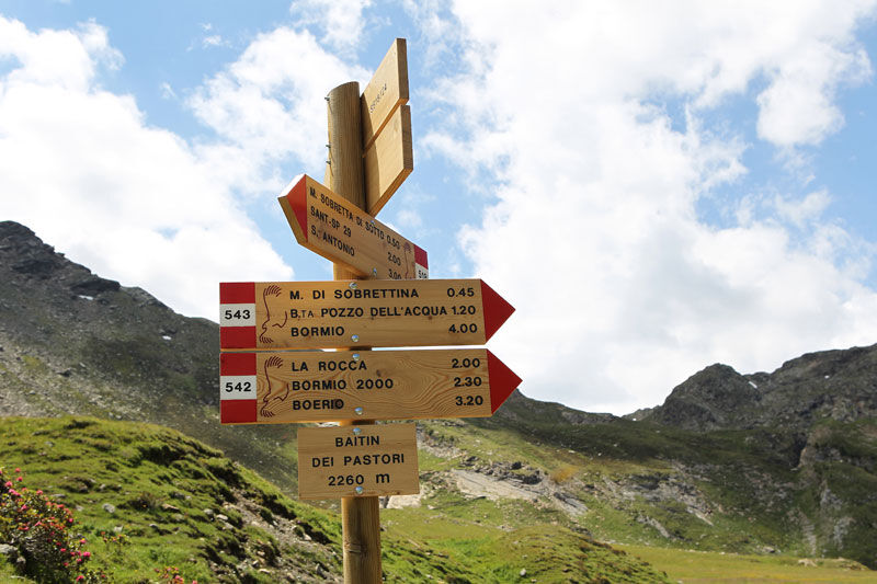
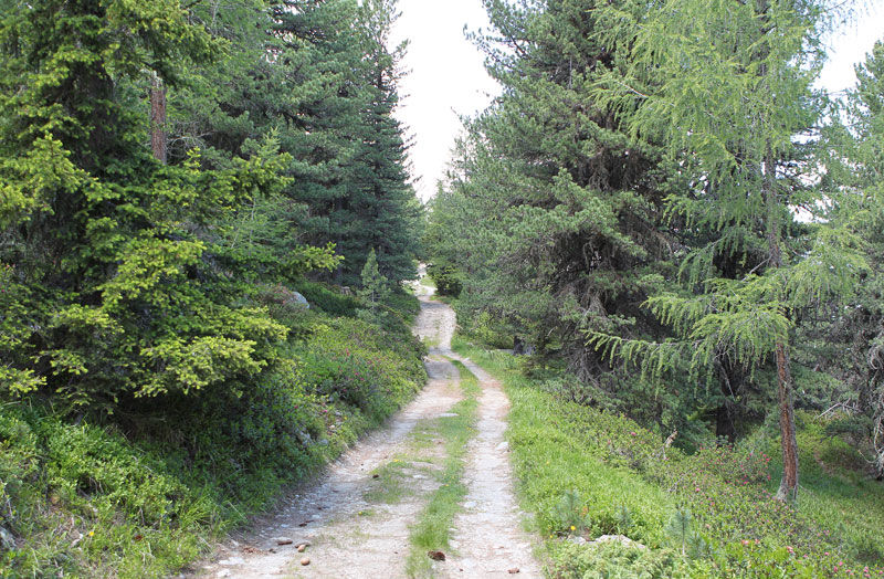
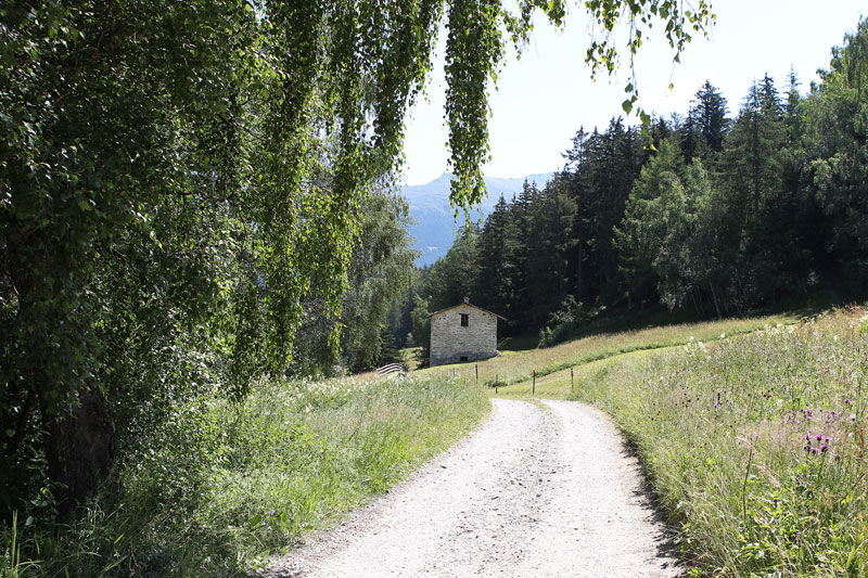
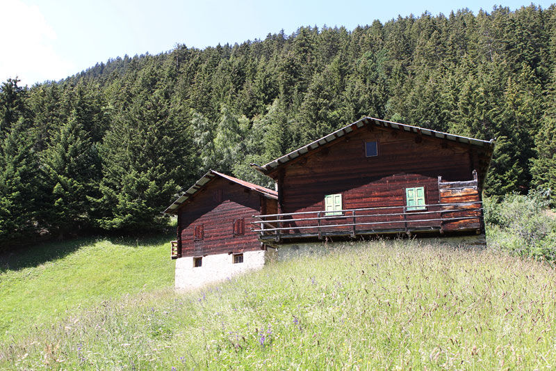

Bormio - Bormio 2000 Cable Car - La Rocca - Sobretta - Calvarana - Campolungo - Feleit - Bormio
Red spruce, fir, evergreen tree up to 50-60 m tall, very long-lived, with a straight and cylindrical trunk and very resinous. The wood, white, is soft and shiny; it is widely used for general carpentry work, for fixtures and packaging. Excellent in the paper industry for cellulose.
Spletne kamere s turneje
-
Cima Bianca
-
Bormio 2000
-
Piste Stelvio
-
Cima Bianca
-
Cima Bianca
-
Cima Bianca
-
Cima Bianca
-
Bormio 2000
-
Bormio 2000
-
Bormio 2000
-
Bormio 2000
-
Bormio 2000
-
Bormio 2000
-
Bormio 2000
-
Cima Bianca
-
Santa Caterina - Valfurva Sunnyvalley
-
Santa Caterina - Valfurva Plaghera
-
Piazza Kuerc
-
Piazza Kuerc
-
Piazza Kuerc
-
Piazza Kuerc
-
Uzza - Valfurva
-
Centro Sci Fondo
-
Centro Sci Fondo
-
Centro Sci Fondo
-
Centro Sci Fondo
-
Centro Sci Fondo
-
Centro Sci Fondo
-
Teleir - Oga
-
Teleir - Oga
-
Teleir - Oga
-
Teleir - Oga
-
Teleir - Oga

Priljubljeni izleti v okolici
-
3.7
Payerhütte 3020m
Pohodništvo 6.98 km -
4.4
Sonnenaufgang auf der Rötelspitze im Nationalpark Stilfserjoch
Pohodništvo 2.02 km -
5.0
Wanderung/Aufstieg zur Payerhütte
svetlobaPohodništvo 15.9 km -
5.0
Ortler über Meraner Weg (vom Tal/Trafoi)
težkoVisokogorska tura 11.9 km -
4.5
Ortler – Normalweg
težkoVisokogorska tura 7.30 km -
5.0
Ortler über Hintergrat
težkoVisokogorska tura 8.03 km -
3.5
Watervallen wandeling
svetlobaPohodništvo 4.95 km -
4.8
Wanderung: Heilige drei Brunnen zur Berglhütte
svetlobaPohodništvo 5.51 km -
4.7
Suldenspitze
svetlobaVisokogorska tura 7.69 km -
1.0
Tabarettahütte 2555m zur Payerhütte 3020m
Pohodništvo 3.82 km

Pohodništvo in sledenje


Ne zamudite ponudb in navdiha za naslednje počitnice
Vaš e-poštni naslov je bil dodan na poštni seznam.


