


Cima Meriggio
Classic summer hike to Cima del Meriggio. After leaving the car at the Campei parking lot, near the Church, follow the path that crosses the Campei summer pasture and then partly ascends along the old...
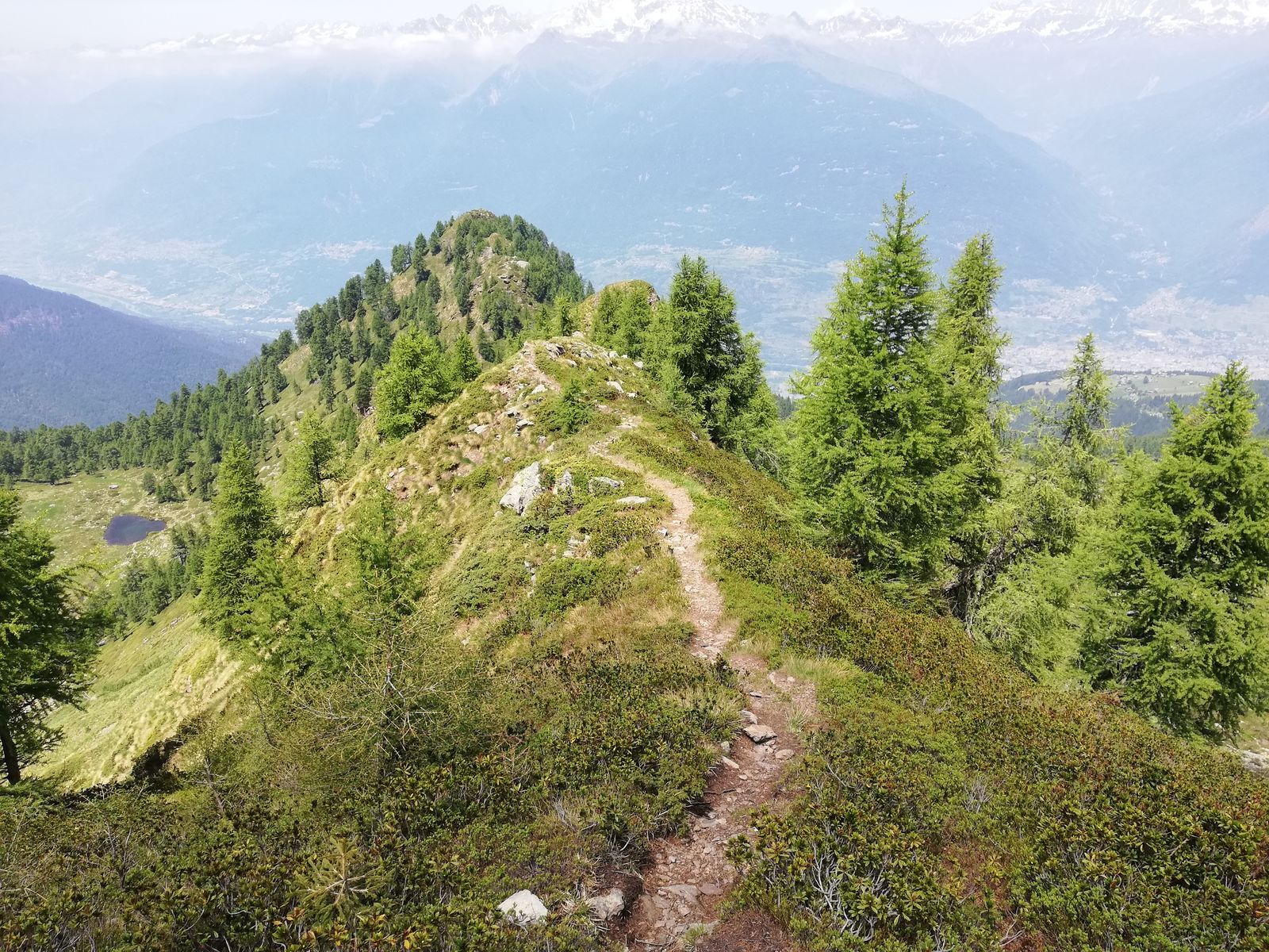
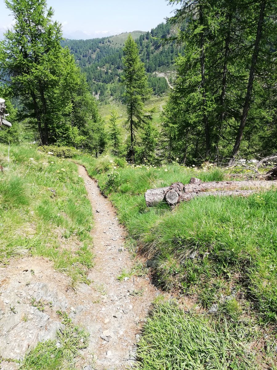
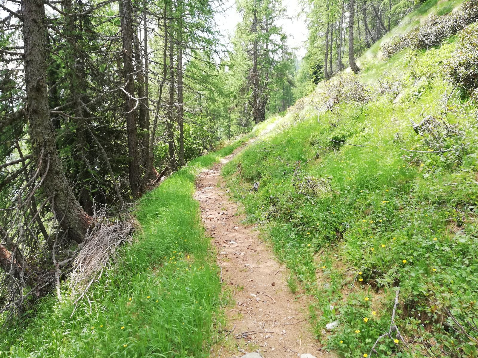
Classic summer hike to Cima del Meriggio. After leaving the car at the Campei parking lot, near the Church, follow the path that crosses the Campei summer pasture and then partly ascends along the old slopes of the ski area active until the 1980s. The climb is quite demanding; the path in some stretches follows the agro-silvo-pastoral road leading to the high mountain pastures. Once you reach 2000 meters, the slope becomes gentler, continuing along the watershed that separates the Valle Venina and the Valle del Liri. From here you can enjoy spectacular views of the Orobie Alps. After passing the Piada mountain pasture, still continuing along the ridge, you reach Cima di Meriggio at about 2,350 meters altitude. The itinerary mirrors the one done with climbing skins in the winter season. For the descent, we suggest the ridge alternative leading to the Portorella Pass and the descent along the beautiful path between Salinu' and the firebreak trail connecting Campei to San Salvatore.
ALPE LARGONE-LAGO DEL MUFULE-SASSO DELL'AGNELLO-ALPE LARGONE
YES - at Campei
Priljubljeni izleti v okolici
- 4,4
Ristoro cinque laghi - Monte Cabianca - Monte Val Rossa - Monte dei Frati
težkoPohodništvo 20,4 km - 4,0
Valbondione-Curò
srednjaPohodništvo 7,02 km - 5,0
Brunone
srednjaGorski pohodništvo 15,0 km - 5,0
Carona - Rifugio Fratelli Calvi - Portulino - Monte Madonnino
težkoPohodništvo 25,6 km - 5,0
Fusine-Dordona Pass (MTB-EMTB)
svetlobaMountainbike 20,4 km - 5,0
Bosio-Galli Refuge (from Piasci)
svetlobaPohodništvo 4,58 km - 4,0
Rifugio lago nero dai bortolotti di Valgoglio
svetlobaPohodništvo 4,73 km Via Dei Terrazzamenti
srednjaPohodništvo v daljavo 74,1 km- 4,2
Il Bivacco - Bivacco Pedrinelli - Passo di Publino - Pizzo Zerna
težkoPohodništvo 15,9 km - 4,0
Poggi-Montagna Itinerary (GAL VALTELLINA call)
srednjaPohodništvo 9,66 km
Pohodništvo in sledenje


Ne zamudite ponudb in navdiha za naslednje počitnice
Vaš e-poštni naslov je bil dodan na poštni seznam.