







Lake Palu' with joëlette
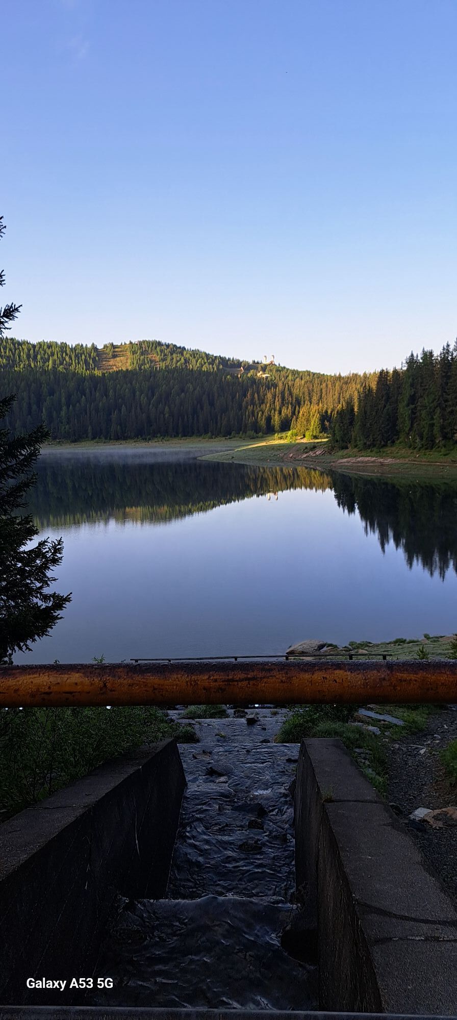

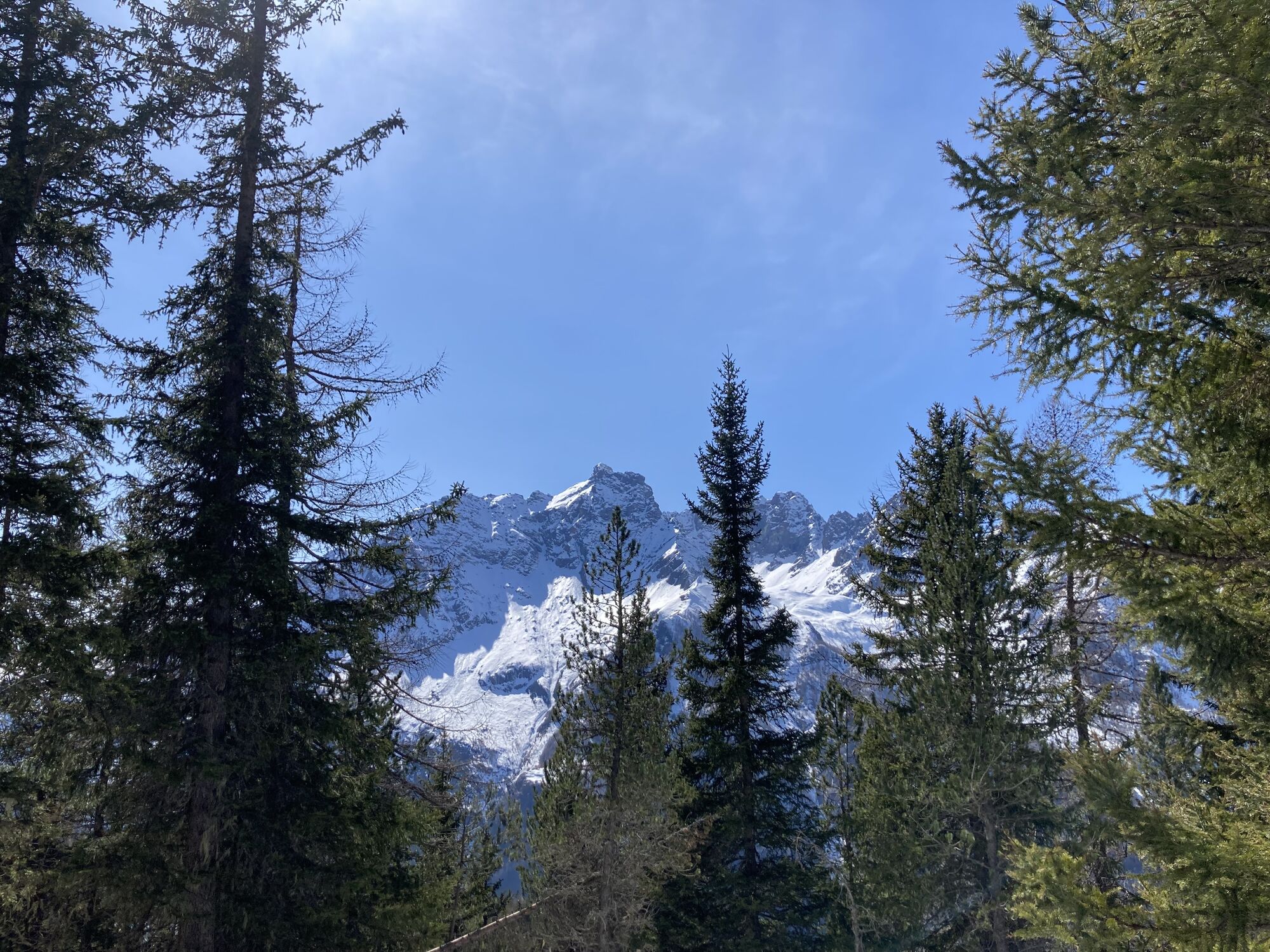
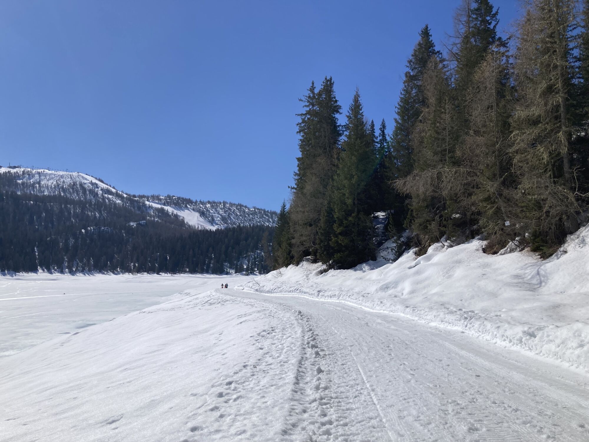
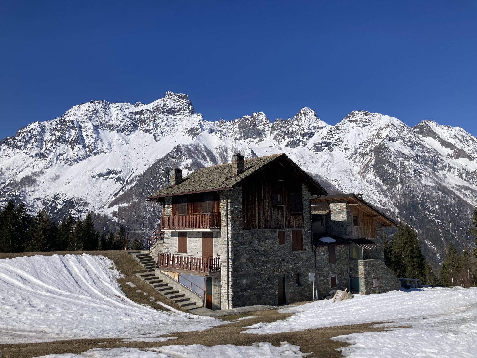
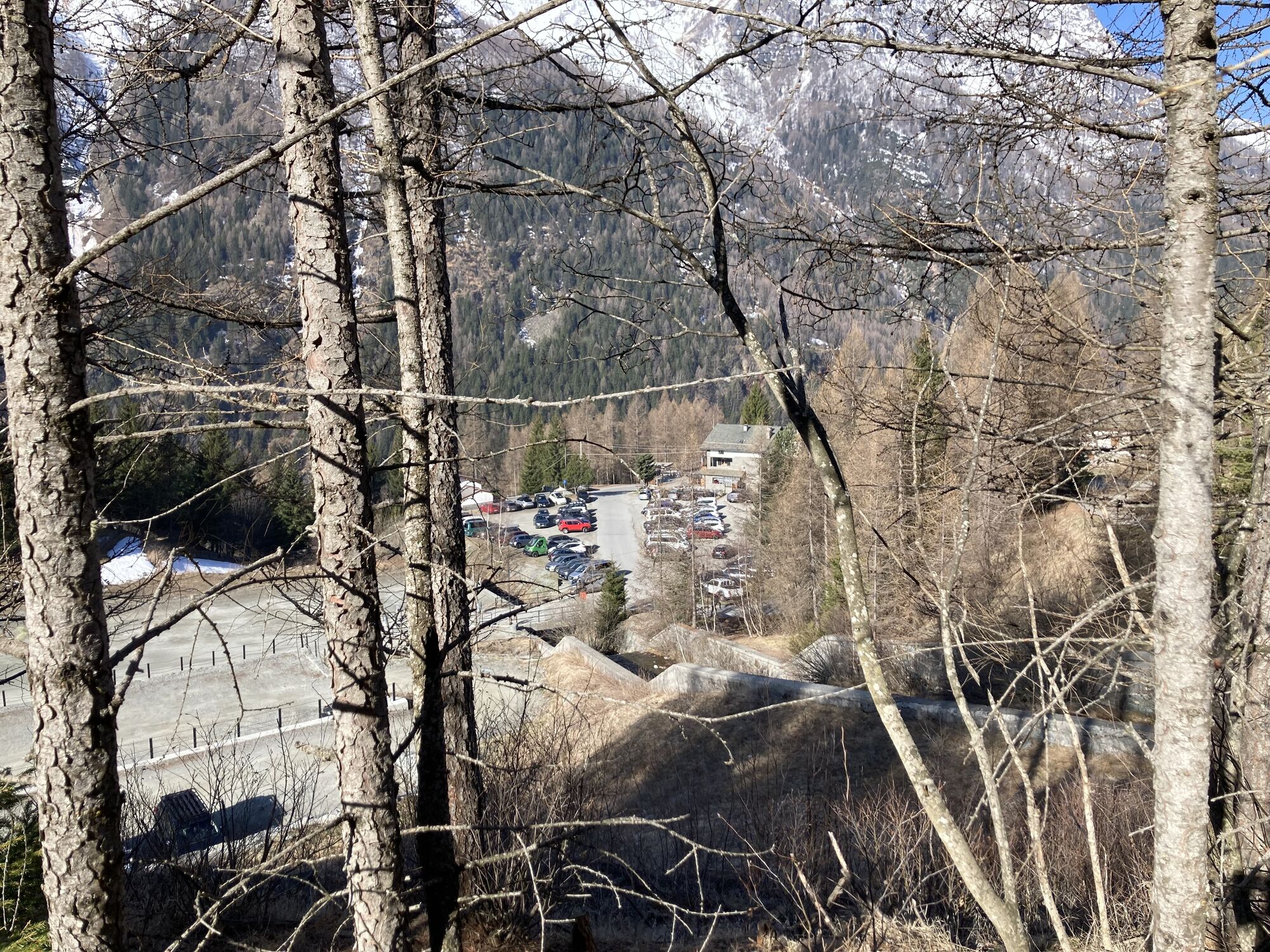
Once you arrive, it is recommended to walk around the lake (trail track in the photos) to enjoy all the colors that the lake itself produces with the different surrounding landscapes. The path that goes...
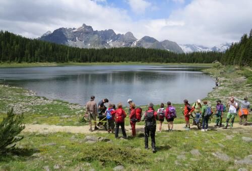
Once you arrive, it is recommended to walk around the lake (trail track in the photos) to enjoy all the colors that the lake itself produces with the different surrounding landscapes. The path that goes all around the lake is about 3 km long, simple and almost completely flat. Once you reach the farthest banks, you can admire the peaks of the mountain chain with Mount Disgrazia reflected in the lake. There are various ways to reach Lake Palu'; below three are described, the first of which refers to the GPS track. Departure from the parking lot near the Prati Pedrana ski lifts. After leaving the car, continue along the asphalt road, and after several switchbacks, you reach the Barchi locality, where there is a widening used as a parking lot. Then continue on an easy dirt path and, following the signs, you reach the lake basin. In a few minutes of short ascent, you can reach the Palu' Refuge. During the summer season or in the absence of snow on the road, it is possible to continue by car up to the parking lot in the Barchi area, and from here continue along the same path as the previous itinerary. The road, asphalted, is quite winding with several switchbacks but with many widenings that allow vehicles coming from the opposite direction to pass. Leave the car at the Snow Eagle cable car parking lot in Chiesa Valmalenco, at Vassalini locality. The cable car (accessible) takes you directly to the 2000 m of Alpe Palu' and from here by means of an accessible train you arrive near the restaurant I Campanacci. To reach Lake Palu', you must follow one of the various easy marked paths which, in about 1 km of walking and descending about 90 m of elevation, lead near the lake shore.

Da
Da
Joëlette
PARKING: San Giuseppe, Pedrana locality, at the ski lift departure point.
STARTING POINT: Directly from the parking lot
USEFUL LOCAL AUTHORITIES AND REFERENCES: Sondrio and Valmalenco Tourist Consortium, Palu' Refuge
TIME WITH JOELETTE: 1.5 - 2 hours to the lake plus another 10 minutes to Palu' Refuge
SURFACE: initially asphalted then easy dirt
EXPOSURE, DANGERS: none in particular
WATER WHERE: fountain at the start of the trail
RETURN: same route back
REFUGE, REFRESHMENT: Palu' Refuge ACCESSIBILITY Palu' Refuge (tel. 0342452201 3331639561 - https:rifugiopalu.it) ACCESS entrance accessible TOILETS accessible OVERNIGHT stay accessible
Spletne kamere s turneje
-
Valmalenco Alpe Palù - Cima Motta
-
Chiareggio
-
Dal Rifugio del Grande - Camerini
-
Dal Rifugio Zoia
-
Panoramica Valmalenco
-
Valmalenco Ski area: Campo scuola
-
Valmalenco Ski area: pista Thoeni
-
Lago Palù
-
Massiccio del Disgrazia
-
Primolo
-
Vallata di Chiareggio e San Giuseppe
-
Valmalenco Ski area: Alpe Palù
-
Valmalenco Ski area: Ascensore inclinato
-
Valmalenco Ski area: Pista blu Dosso
-
Valmalenco Ski area: pista Nana e rifugio Motta
-
Valmalenco Ski area: seggiovia Bocchel del Torno
Pridobite vpogled
Vedno v živo na mestu z več kot 9.500 spletnimi kamerami. bergfex Kot uporabnik Pro si lahko zdaj ogledate ustrezne spletne kamere za številne izlete v aplikaciji izleti iz. Tako si lahko neposredno ogledate trenutne razmere.

Priljubljeni izleti v okolici
-
5.0
Morteratsch station - Boval Hut
srednjaPohodništvo 10.5 km -
4.7
Diavolezza - Munt Pers
svetlobaPohodništvo 3.82 km -
4.5
Pontresina - Val Roseg - Pontresina
svetlobaPohodništvo 13.8 km -
4.7
SAC Tschierva
svetlobaPohodništvo 24.7 km -
4.3
Piz Palü (3.905m) – Hochtour
srednjaVisokogorska tura 13.4 km -
4.0
Mittelstation Murtèl – Fuorcla Surlej – Val Roseg – Pontresina
srednjaPohodništvo 23.5 km -
4.8
Corvatsch Murtèl - Fuorcla Surlej
srednjaPohodništvo 4.52 km -
4.8
Val Roseg - Tschierva Hut
srednjaPohodništvo 5.12 km -
3.7
721 Senda Ils Lejins Sils/Furtschellas
srednjaPohodništvo 6.02 km -
5.0
Diavolezza - Sass Queder
svetlobaPohodništvo 1.55 km
Pohodništvo in sledenje


Ne zamudite ponudb in navdiha za naslednje počitnice
Vaš e-poštni naslov je bil dodan na poštni seznam.





