







Ortles Haute Route - Raethia Trail 35 km
Stopnja težavnosti: T2
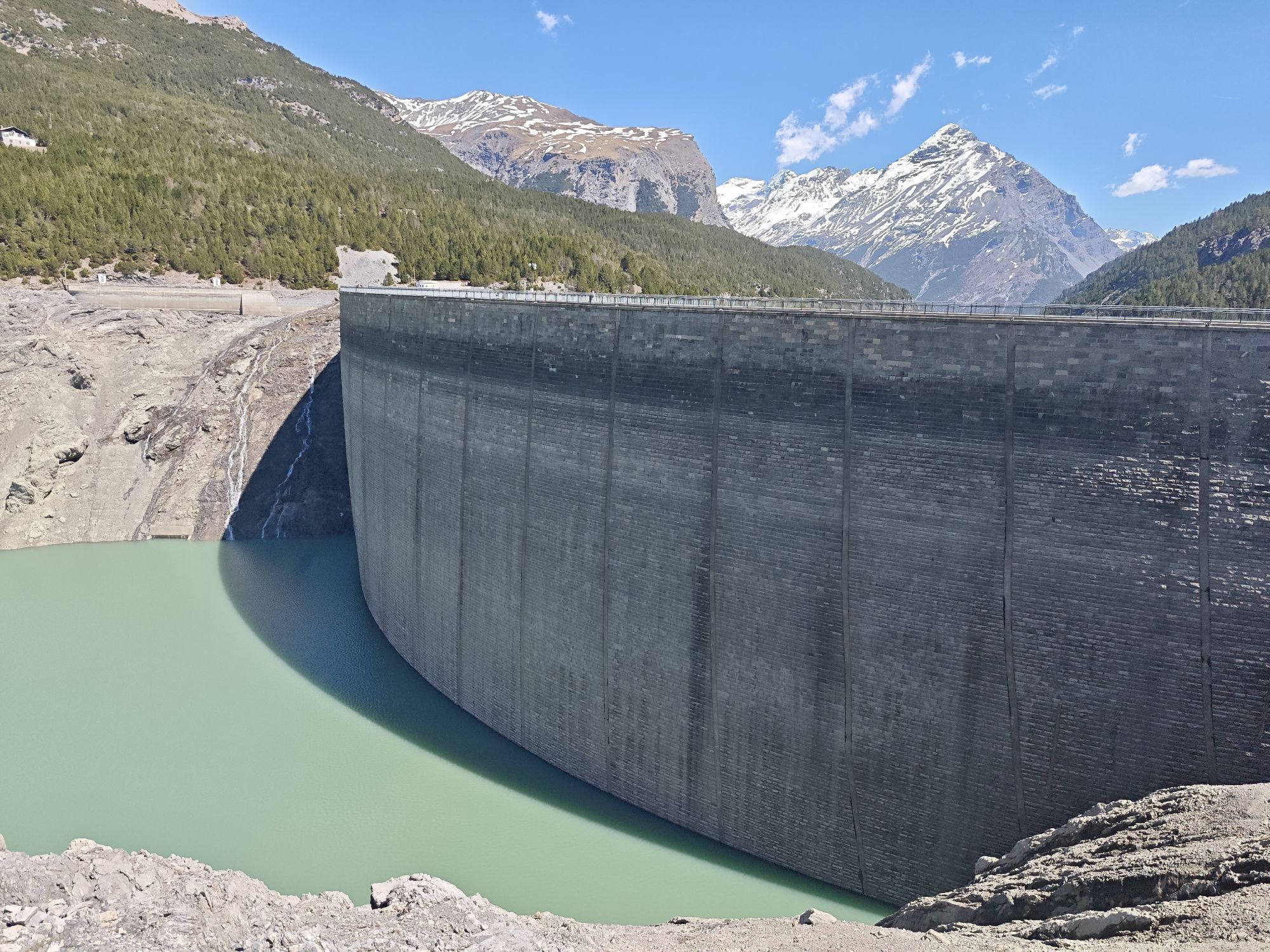
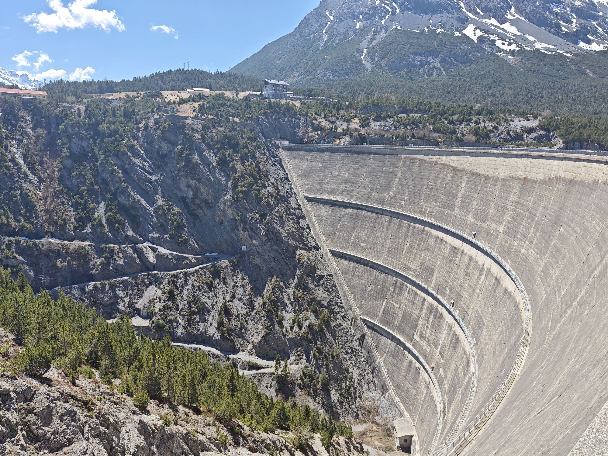
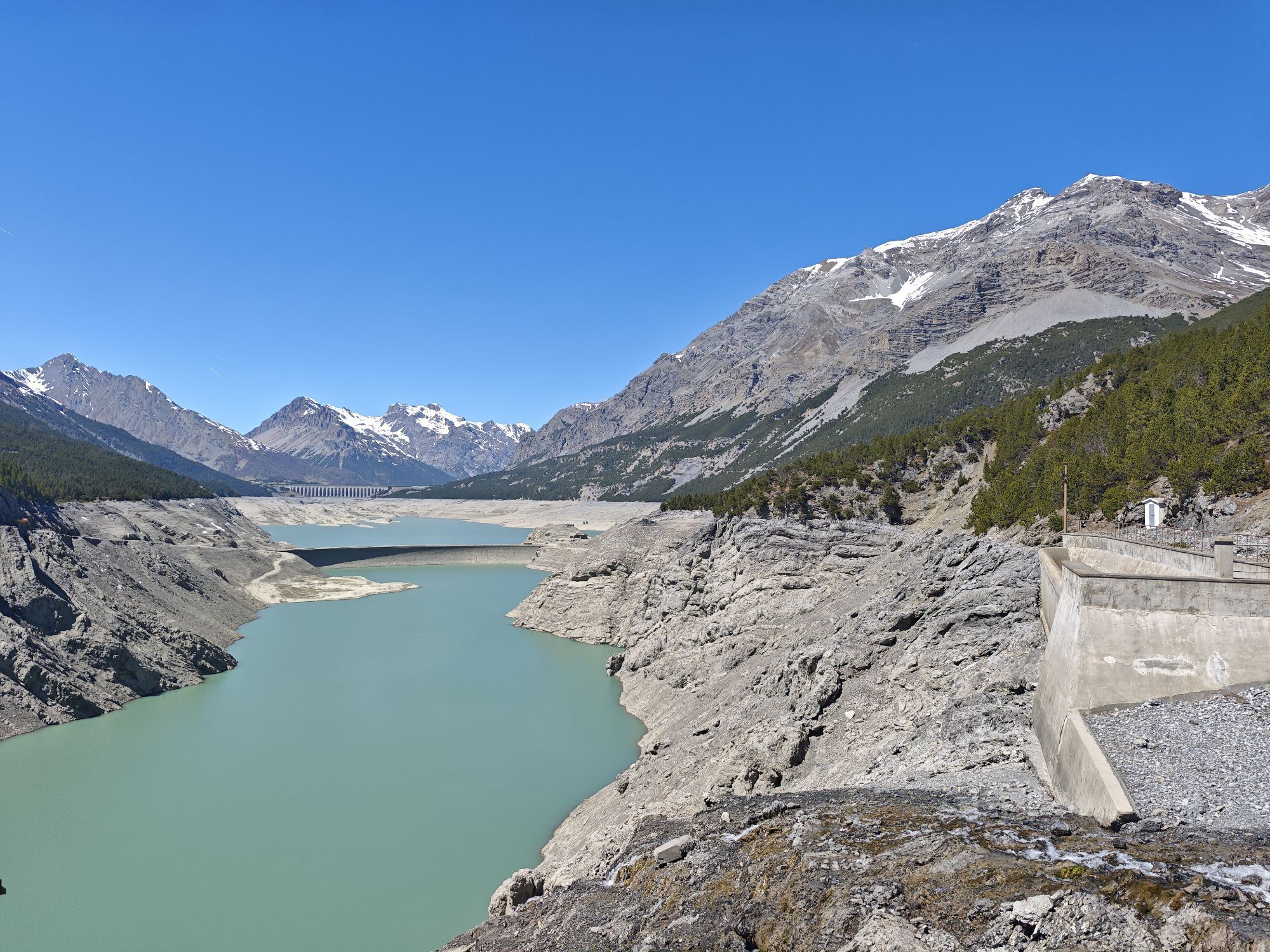
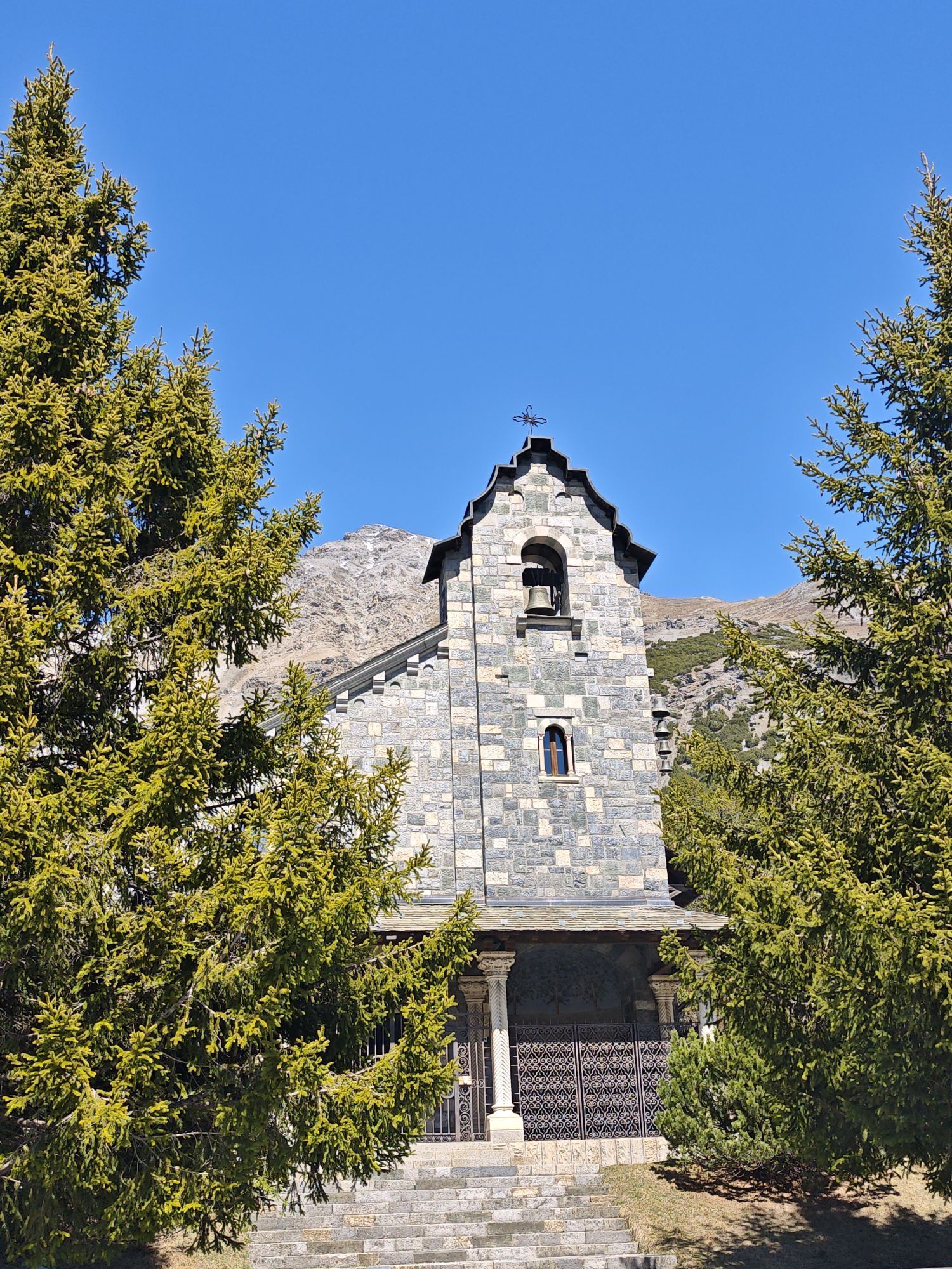
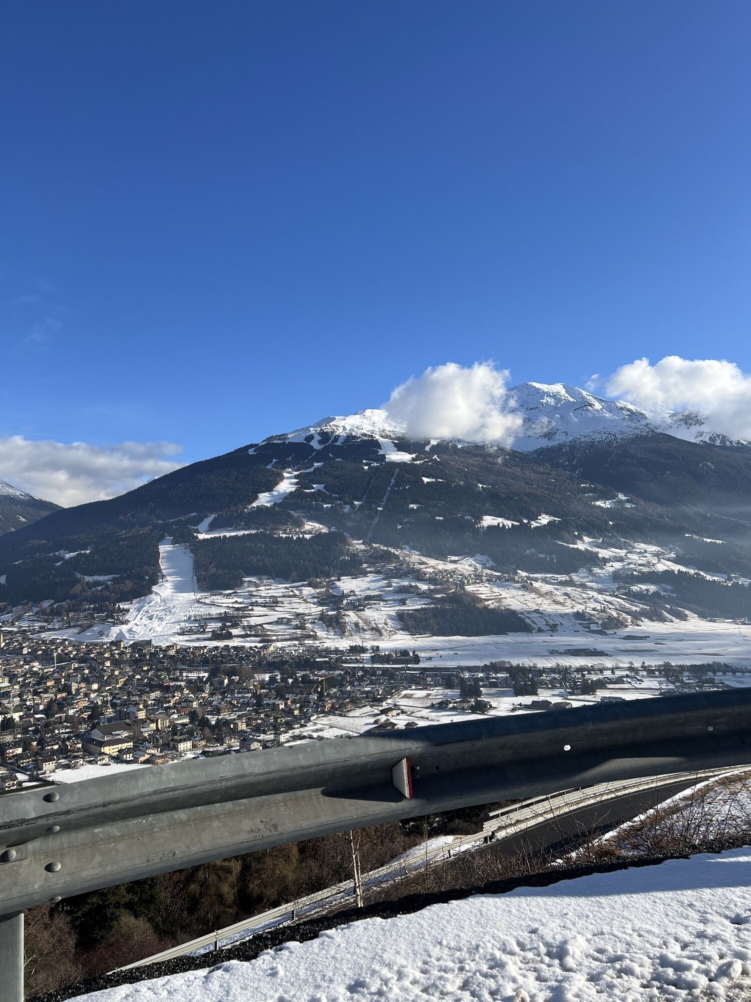
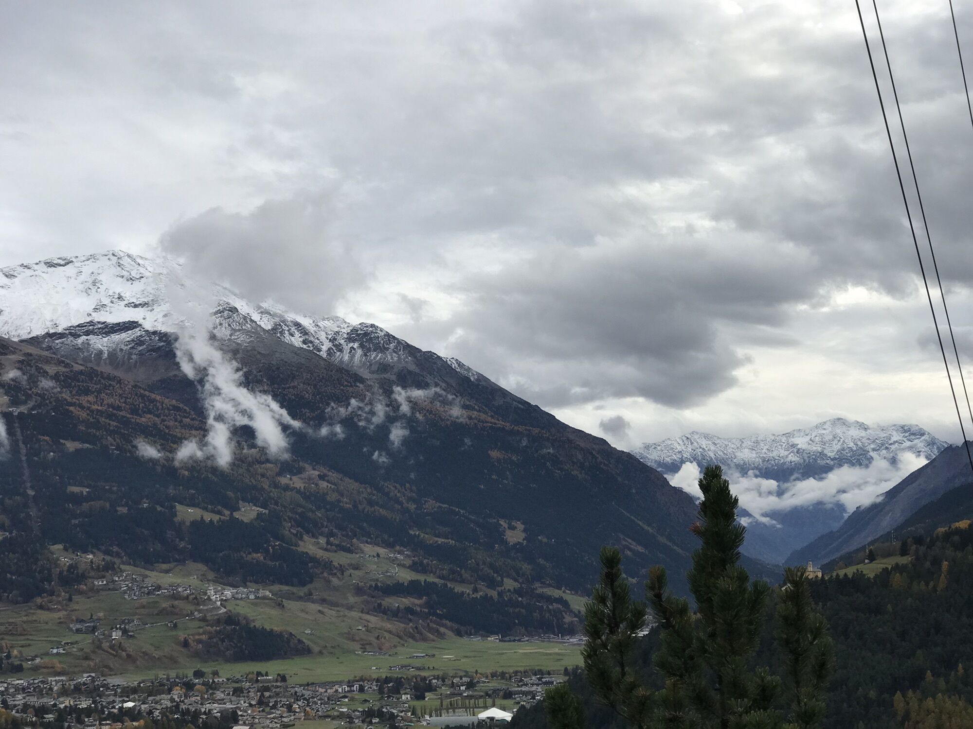

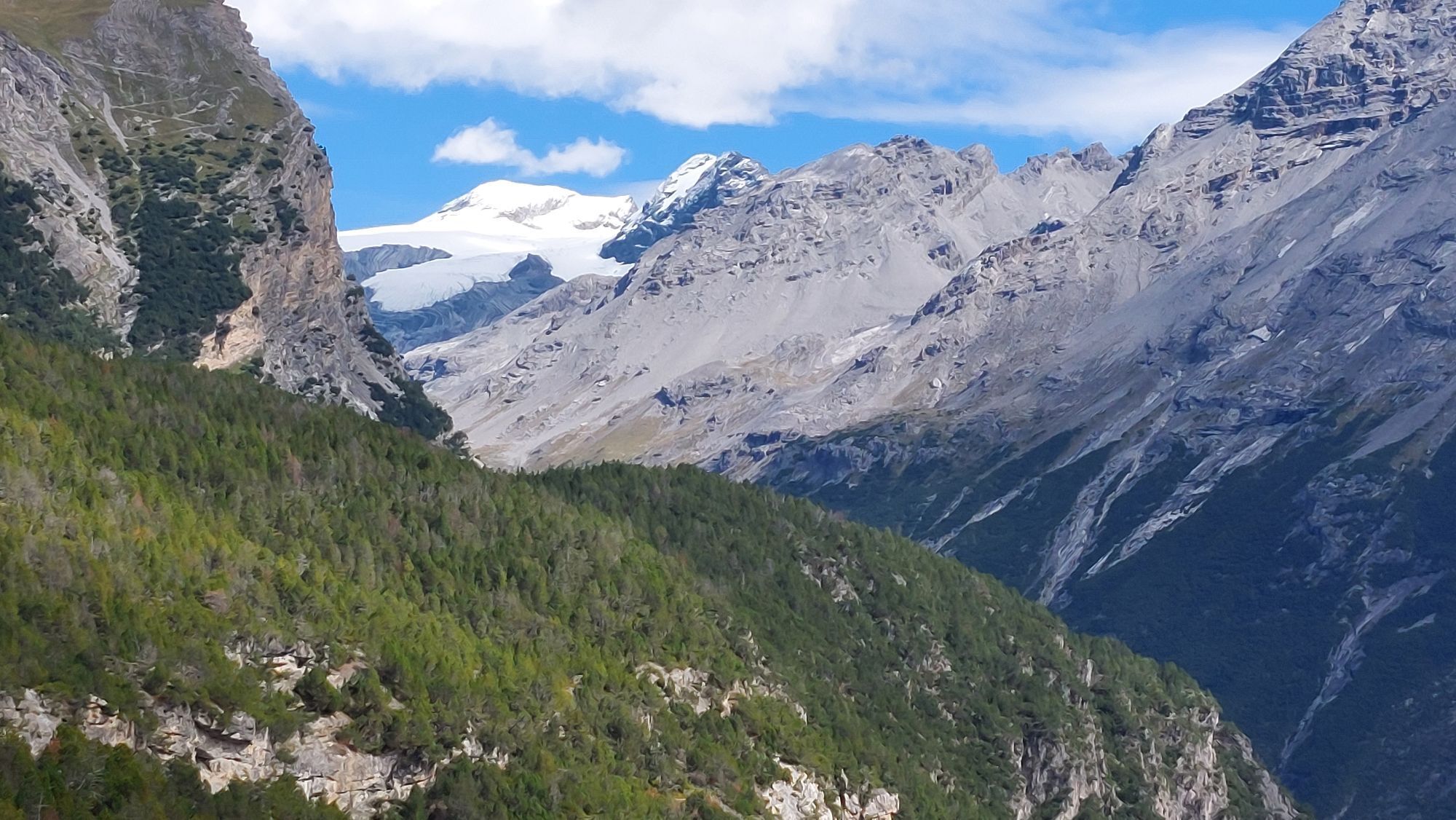
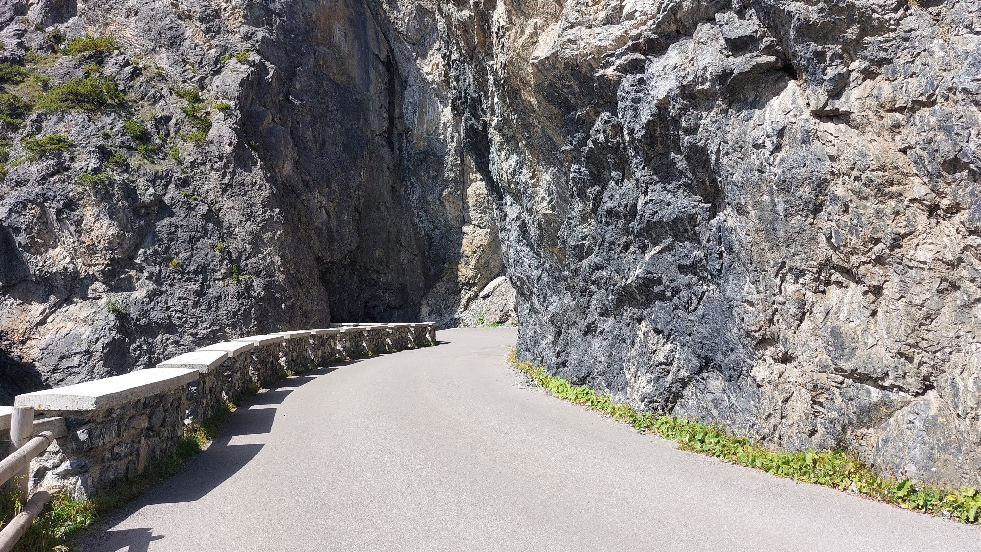
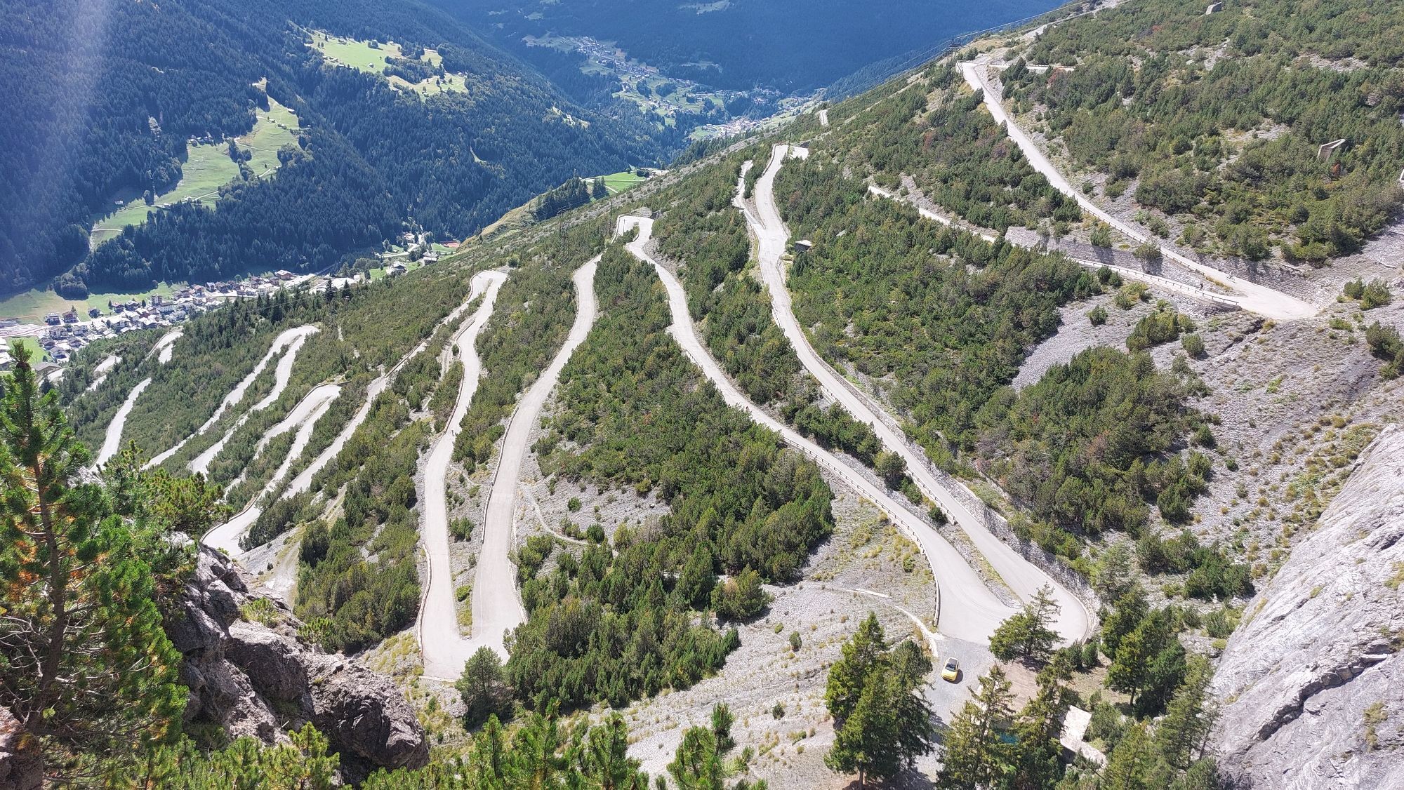
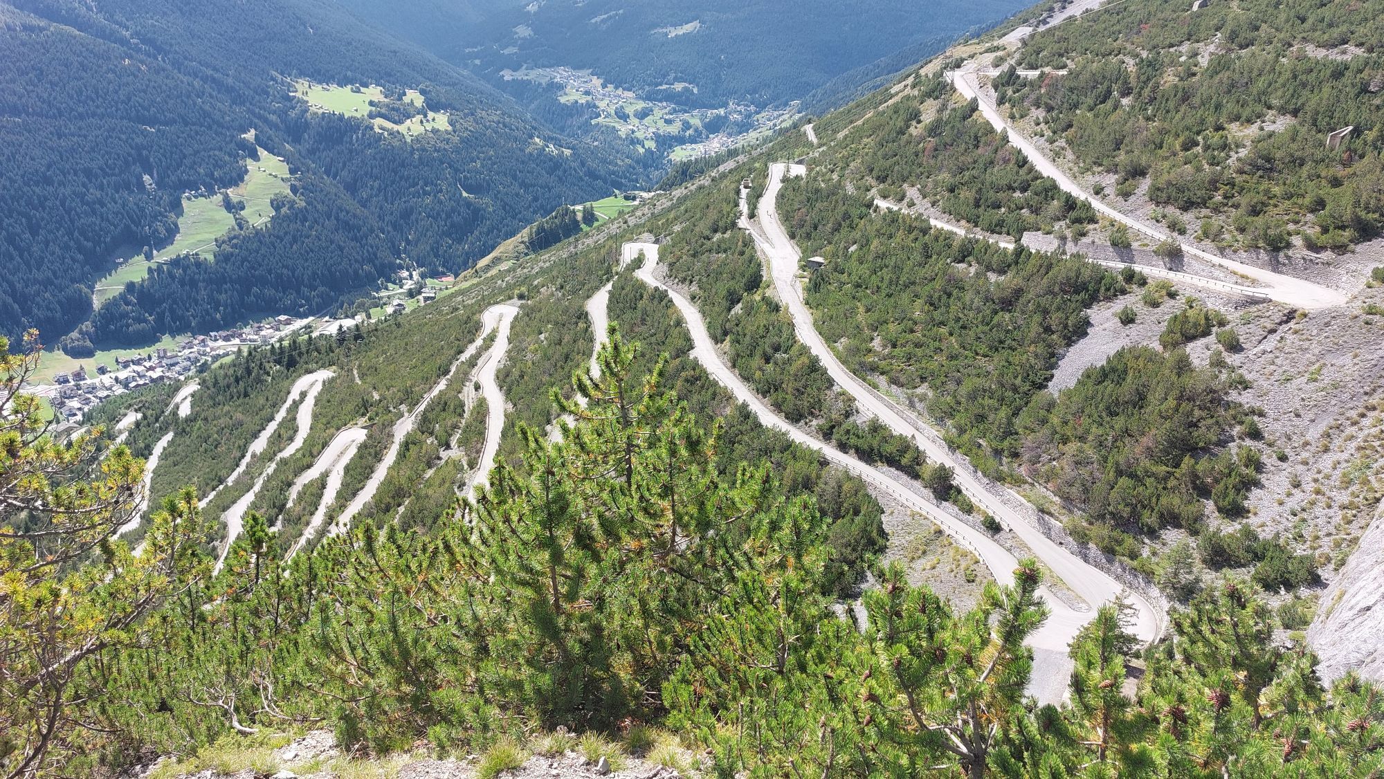
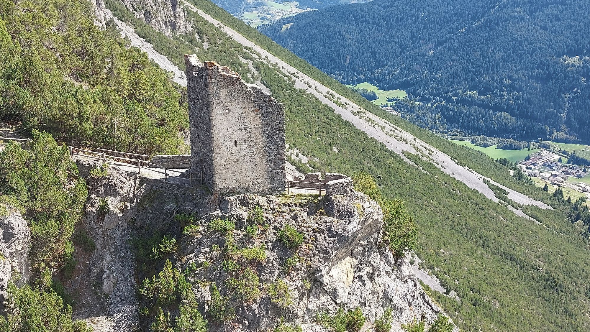

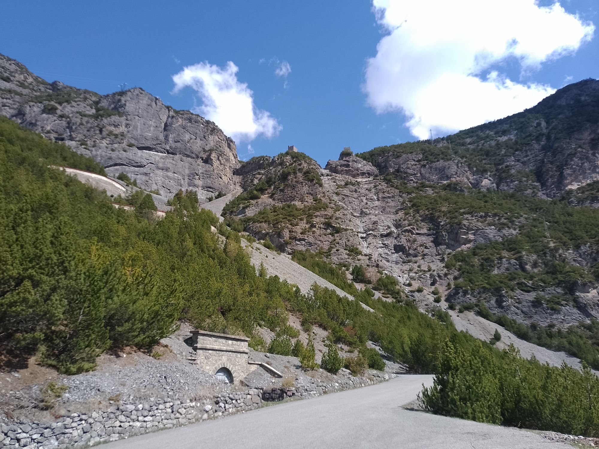
The Raethia Trail strikes the perfect balance between athletic challenge and exploring the local area. Spanning 35 km with 2,300 meters of elevation gain, it follows some of the most iconic sections of...
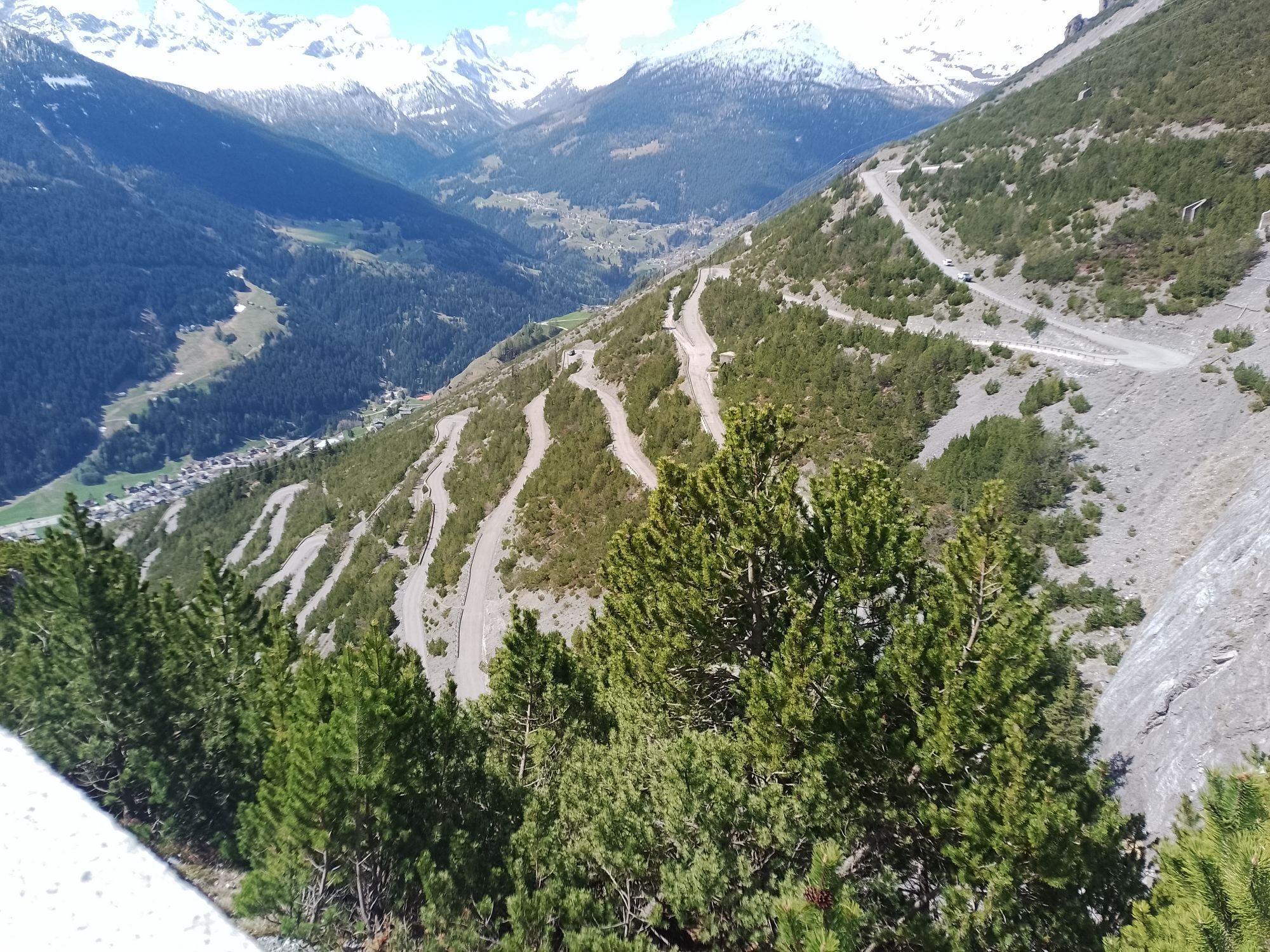
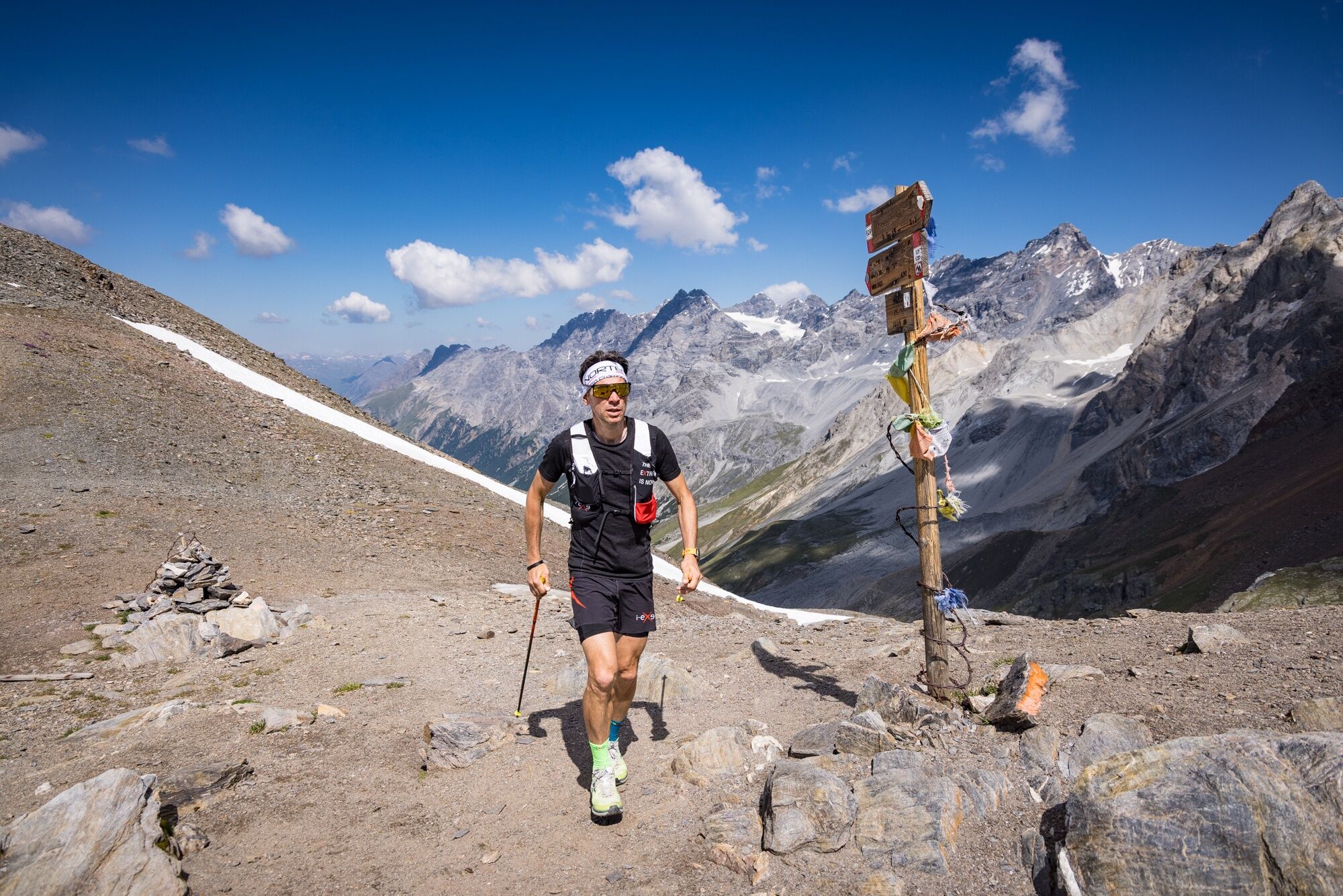
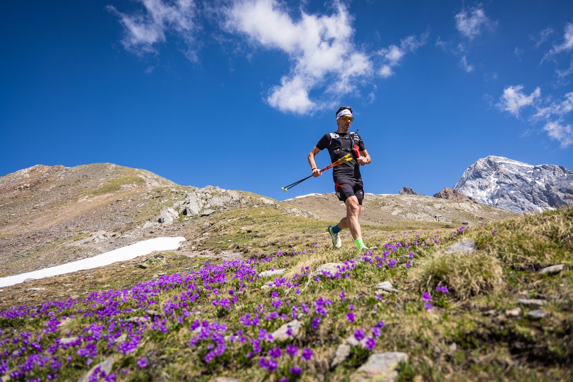
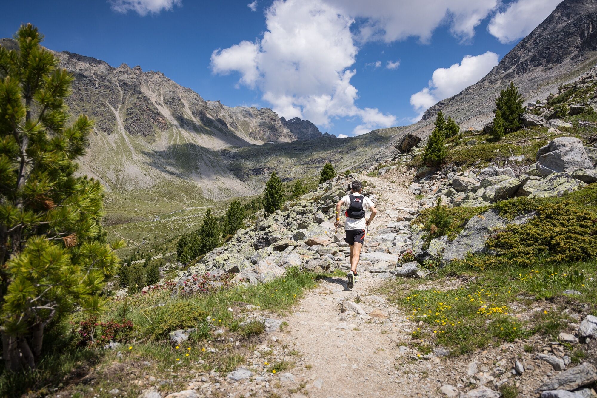
The trail begins in the heart of Bormio’s historic center, from where it quickly ascends toward the trails of the Stelvio National Park. The route winds through forests, pastures, and ancient military mule trails until it reaches the Stelvio Pass, one of the Alps’ most iconic landmarks.
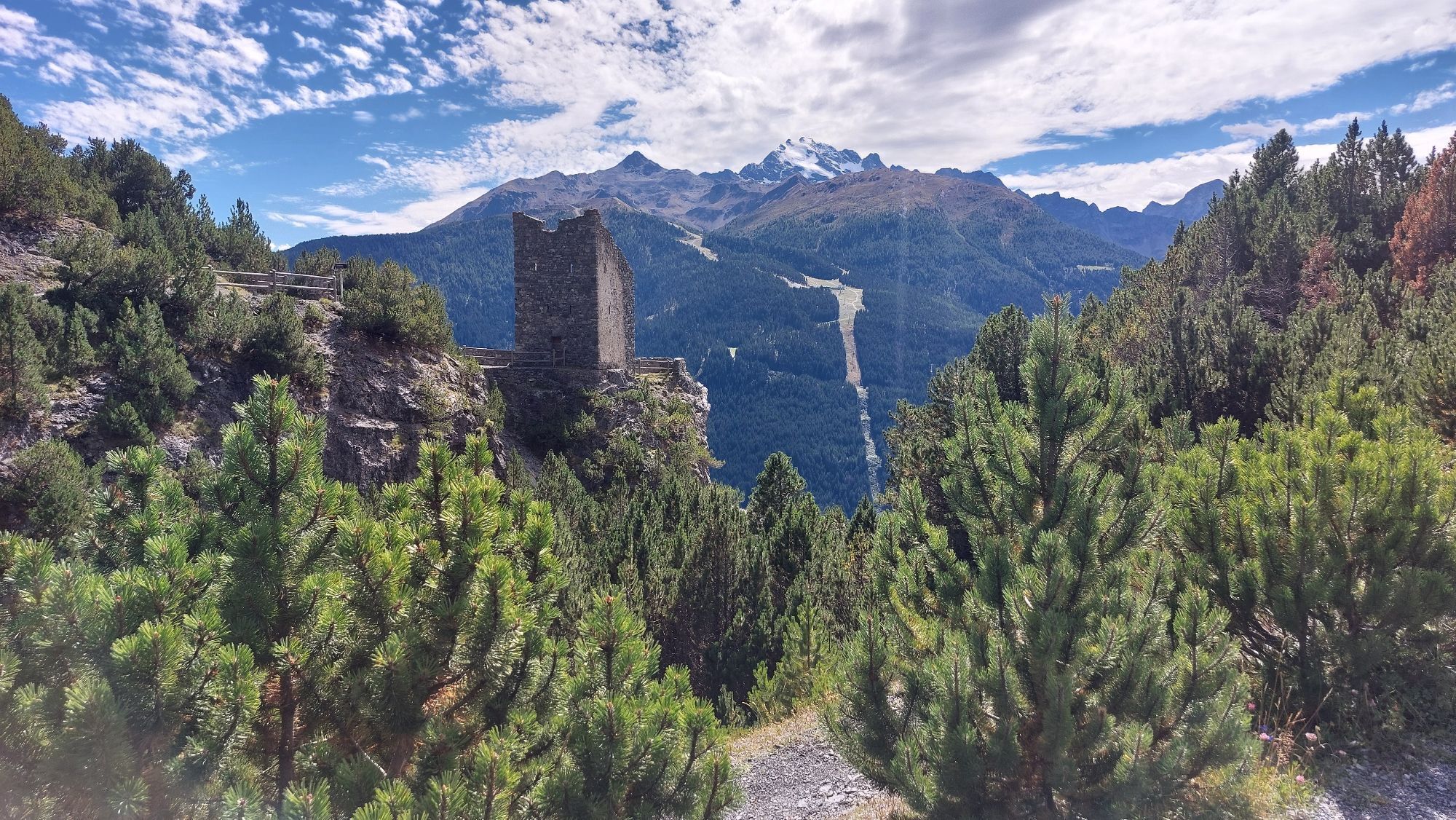
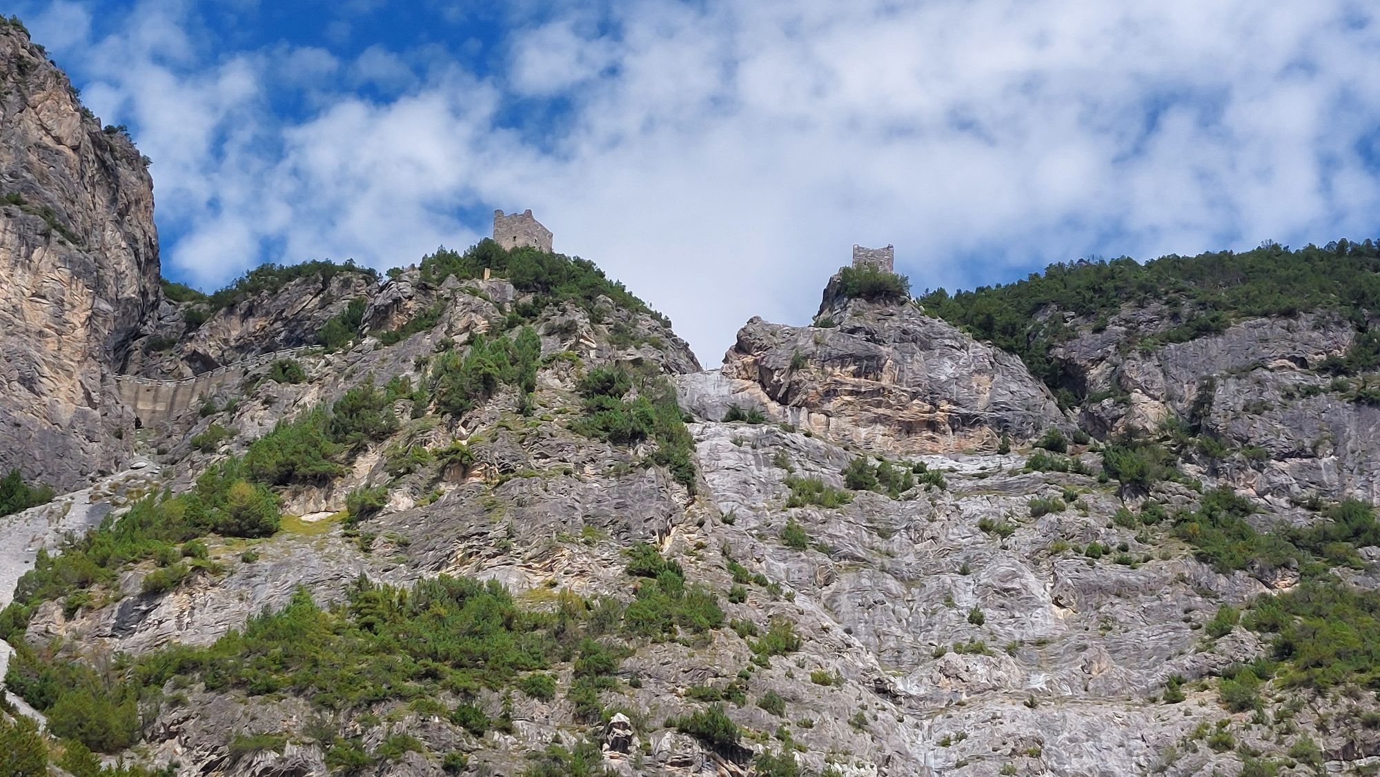
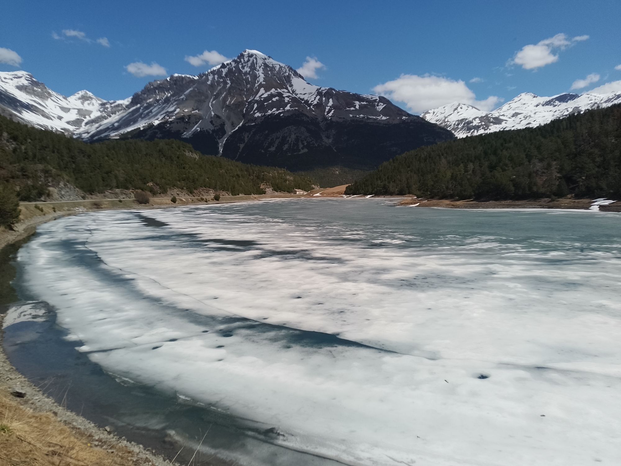
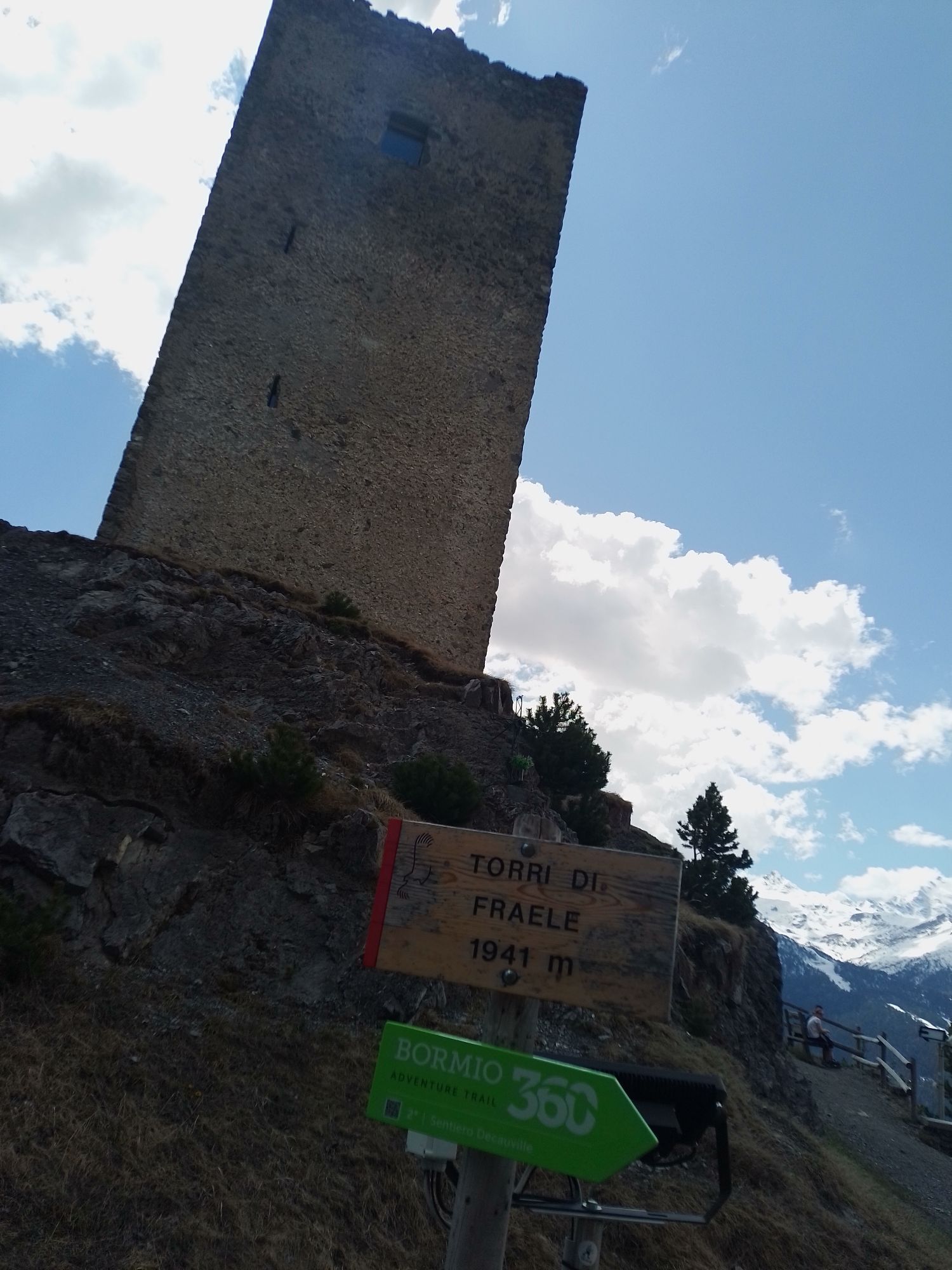
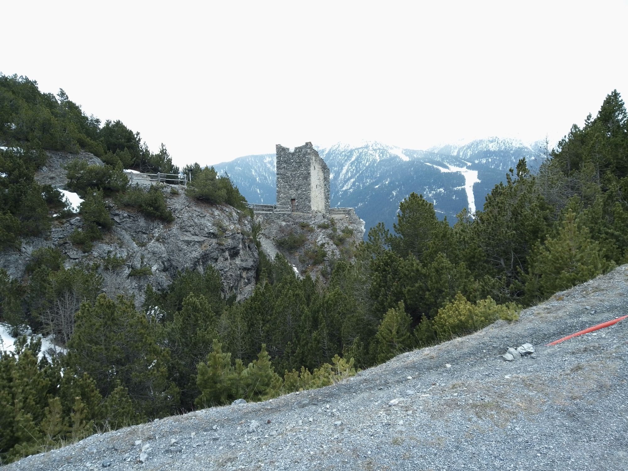
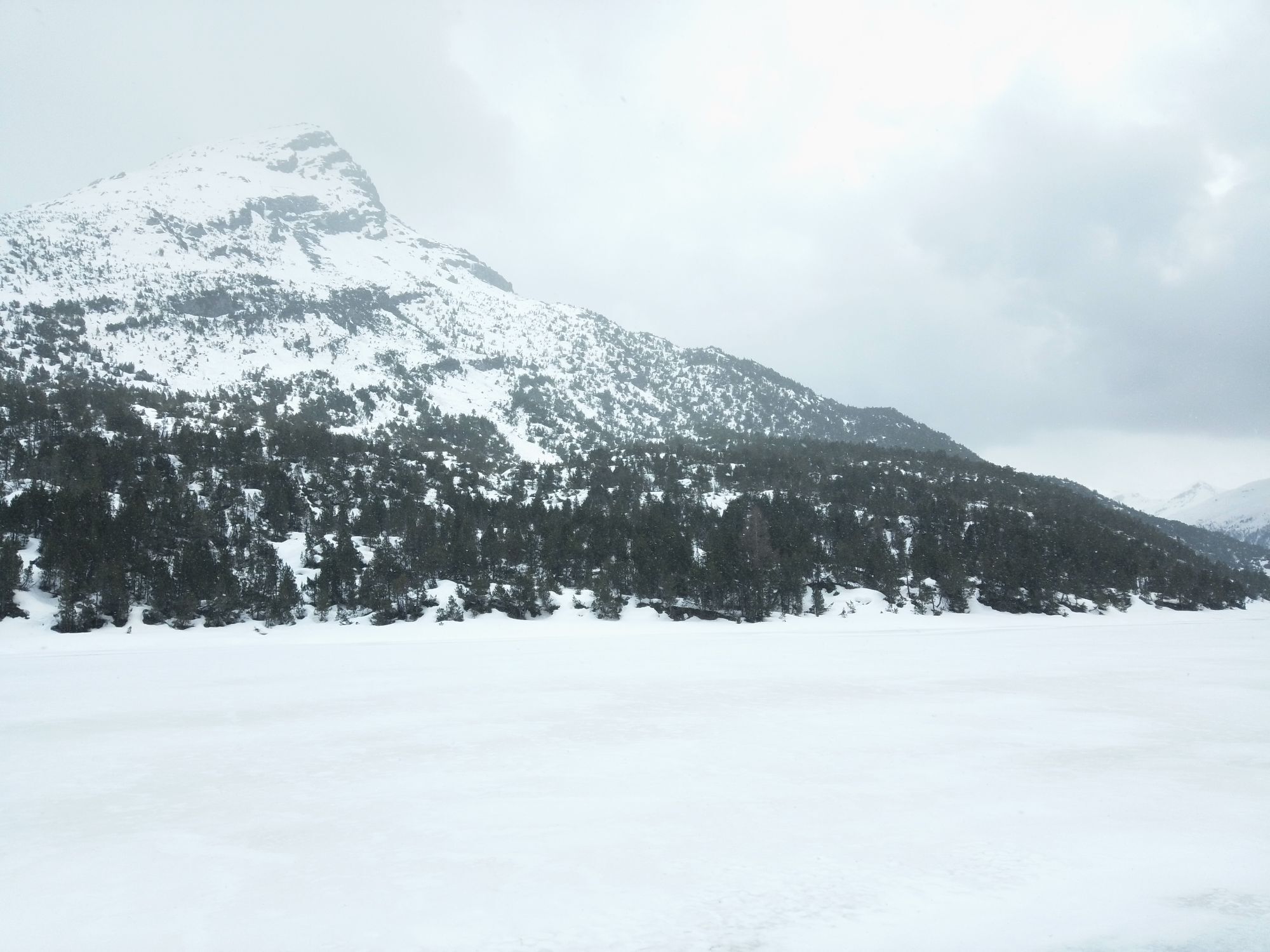
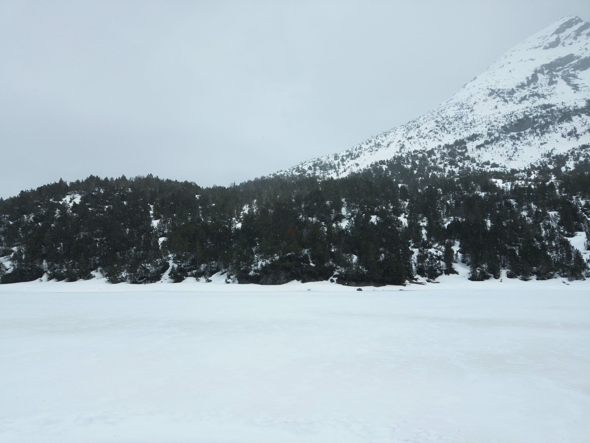
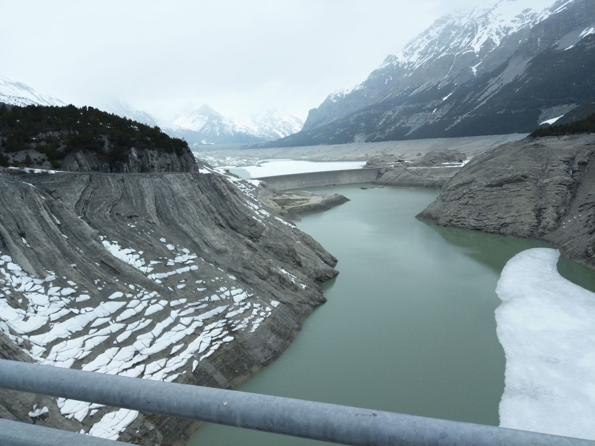
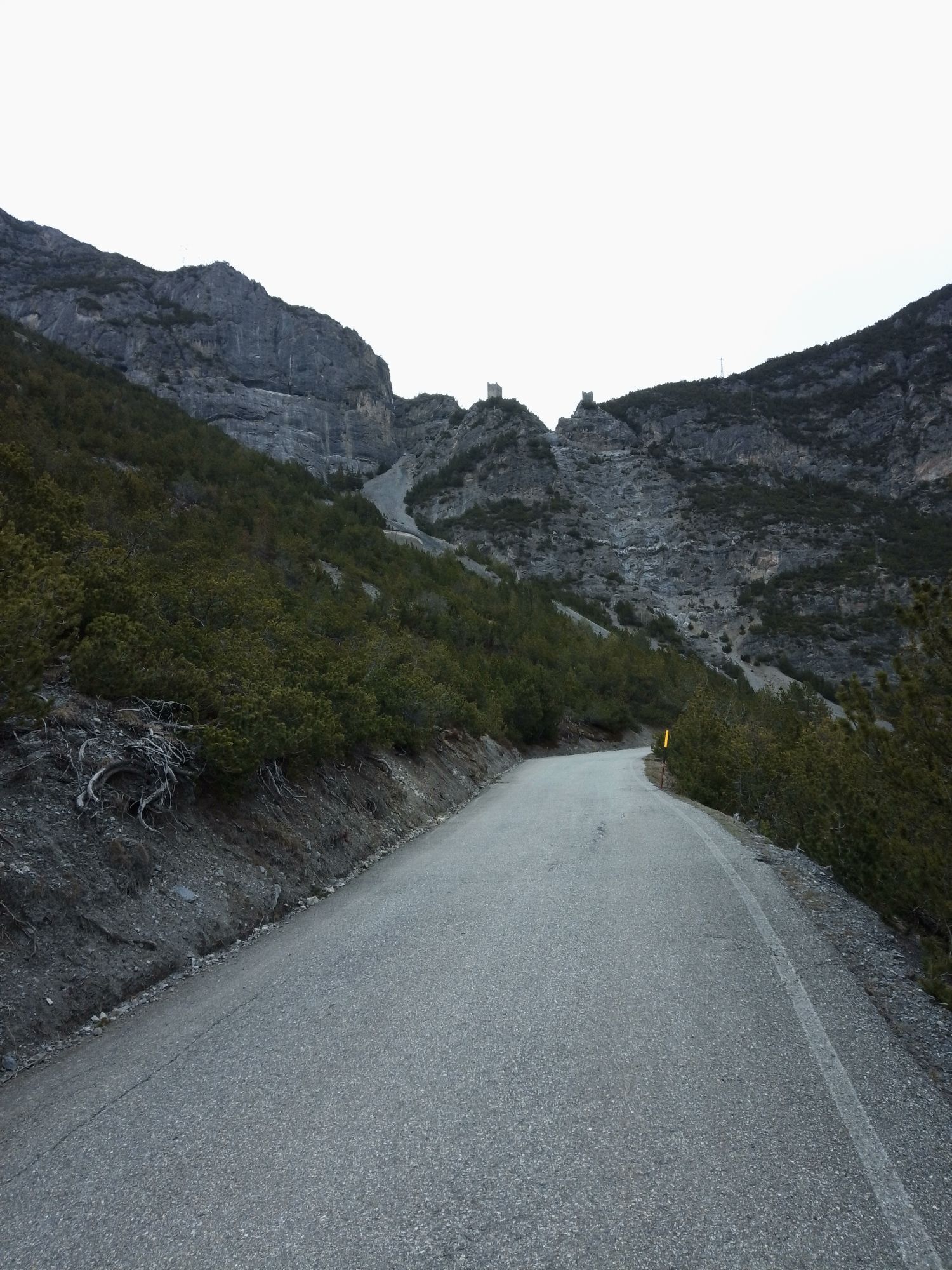
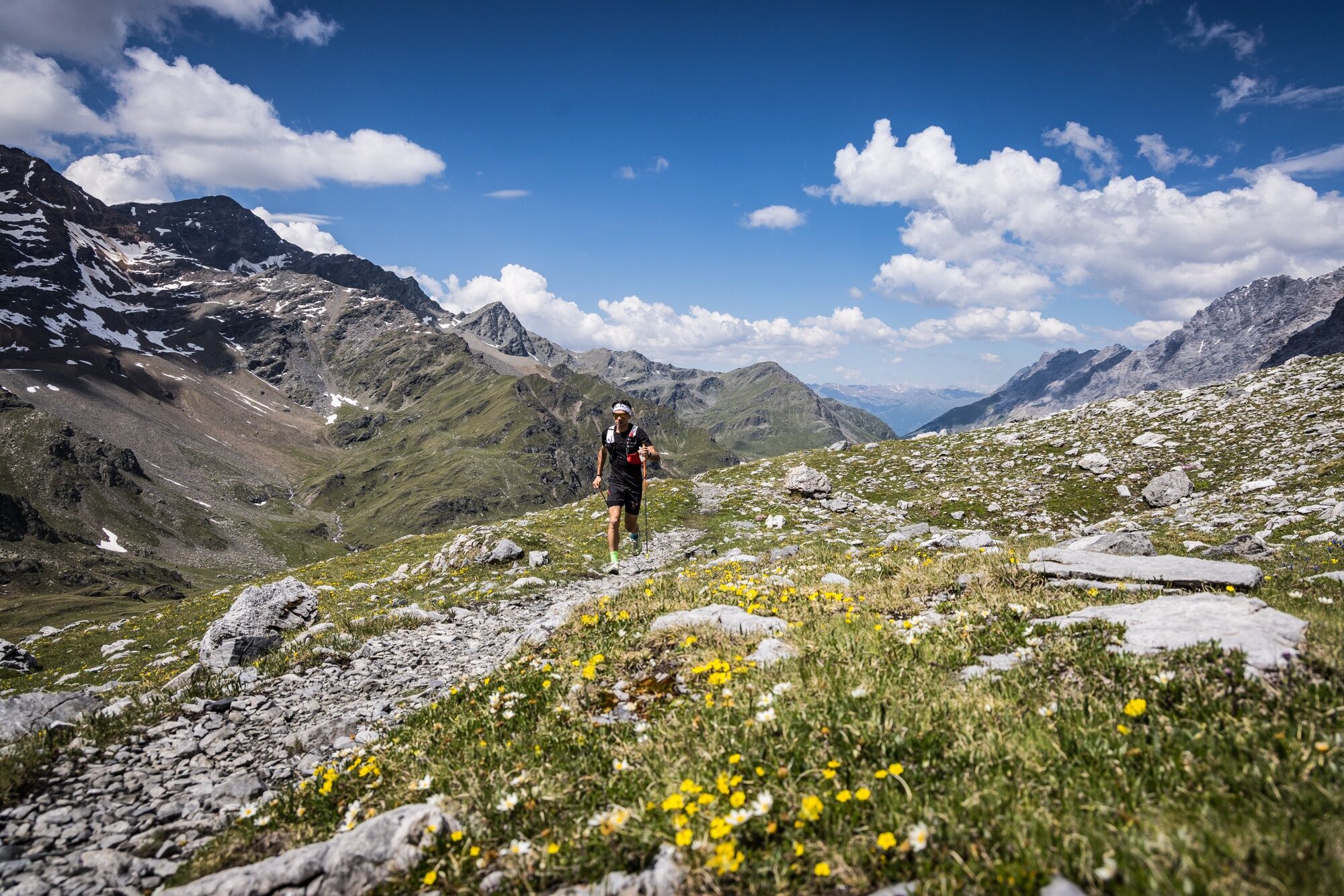
From here, the route continues along scenic high-altitude trails toward the Forcola Mountain Hut, passes through the picturesque area of the Cancano Lakes and the historic Fraele Towers, and then returns to Bormio along fast-paced, scenic trails.
The route alternates between challenging climbs, technical singletrack, and long, runnable stretches, offering a race that is comprehensive in terms of both athletic challenge and scenic beauty, set amid one of the most spectacular landscapes in the entire Alpine range.

Outside of the event, you must follow the GPX track and the official hiking signs.
The route roughly follows this path:
Bormio → Pedemontana della Reit → Fantelle → Stelvio Pass → Forcola Mountain Hut → Bocchetta di Pedenolo → Cancano Lakes → Torri di Fraele → Premadio → Le Motte di Oga → Santa Lucia → Bormio.
For navigation, we strongly recommend using a GPS device or smartwatch with offline maps.
Essential items
trail running shoes with excellent traction;
a trail backpack or vest;
at least 1 liter of water;
a cell phone;
a waterproof or windproof jacket;
energy snacks;
a GPX track loaded onto a GPS device or smartwatch.
Recommended
trail running poles;
hat or buff;
lightweight gloves in case of low temperatures;
thermal blanket;
power bank;
basic first-aid kit.
If there is lingering snow or other special conditions, assess the most suitable gear before setting out.
Outside the race period, there are no trail markers or support services. It is therefore essential to follow the GPX track and the official hiking trail markers.
Before setting out, it is recommended that you check:
the latest weather conditions;
the presence of any remaining snow in the upper sections of the route at the start of the season;
whether the mountain huts are open;
any trail closures.
The route reaches elevations above 2,500 meters, where the weather can change rapidly and temperatures can be significantly lower than in the valley below.
T2
Plan your water stops along the route.
Bring enough water to last between mountain huts.
Download the GPX track before setting out.
Be mindful of hikers on shared trails.
Follow the rules of the Stelvio National Park and do not litter.
In case of bad weather, do not attempt the climb to the Stelvio Pass.
To tackle it under the best conditions, we recommend setting out early in the morning, especially during the summer months.
Those who prefer to take the route at a more leisurely pace can split it into two days, spending the night at the Forcola Mountain Hut or at lodging facilities at the Stelvio Pass, turning the hike into a fastpacking adventure amid some of the most spectacular views in the Stelvio National Park.
Pridobite vpogled Vedno v živo na mestu z več kot 9.500 spletnimi kamerami. bergfex Kot uporabnik Pro si lahko zdaj ogledate ustrezne spletne kamere za številne izlete v aplikaciji izleti iz. Tako si lahko neposredno ogledate trenutne razmere. Priljubljeni izleti v okolici
- 4.5
Sonnenaufgang auf der Rötelspitze im Nationalpark Stilfserjoch
Pohodništvo 2.02 km - 5.0
Ortler über Meraner Weg (vom Tal/Trafoi)
težkoVisokogorska tura 11.9 km - 3.5
Watervallen wandeling
svetlobaPohodništvo 4.95 km - 3.4
Sta.Maria, Prà da Vau - Lai da Rims - Alp Sot - Prà da Vau
težkoPohodništvo 14.7 km - 4.8
Wanderung: Heilige drei Brunnen zur Berglhütte
svetlobaPohodništvo 5.51 km - 5.0
Crap da la Pare' with Joëlette
svetlobaPohodništvo 4.58 km - 4.2
Süsom Givè - Chaschlot - Valbella - Süsom Givè
srednjaPohodništvo 9.73 km - 4.7
Furkelhütte
srednjaPohodništvo 5.49 km - 5.0
TIP Panorama Road Tyrol ➤ Stelvio Pass
svetlobaMotorno kolo 40.8 km - 4.0
Ortler Höhenweg
težkoVisokogorska tura 123.2 km

Pohodništvo in sledenje


Ne zamudite ponudb in navdiha za naslednje počitnice
Vaš e-poštni naslov je bil dodan na poštni seznam.





