


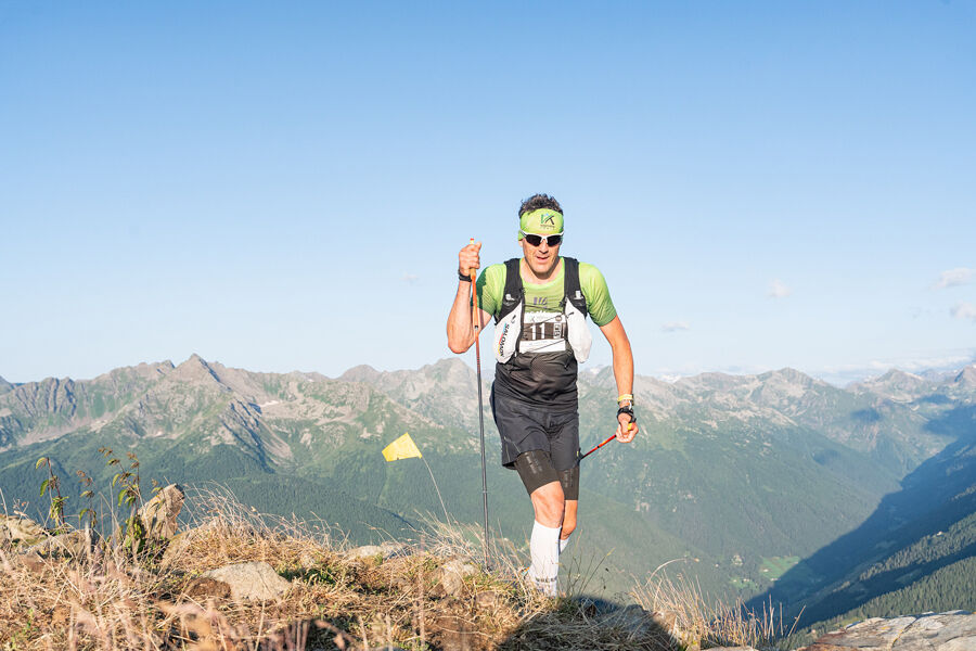
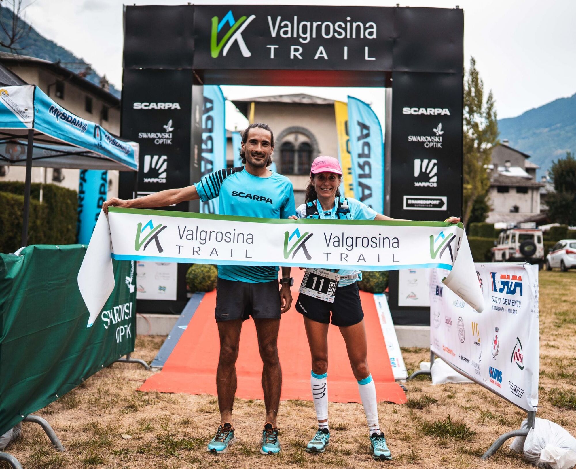
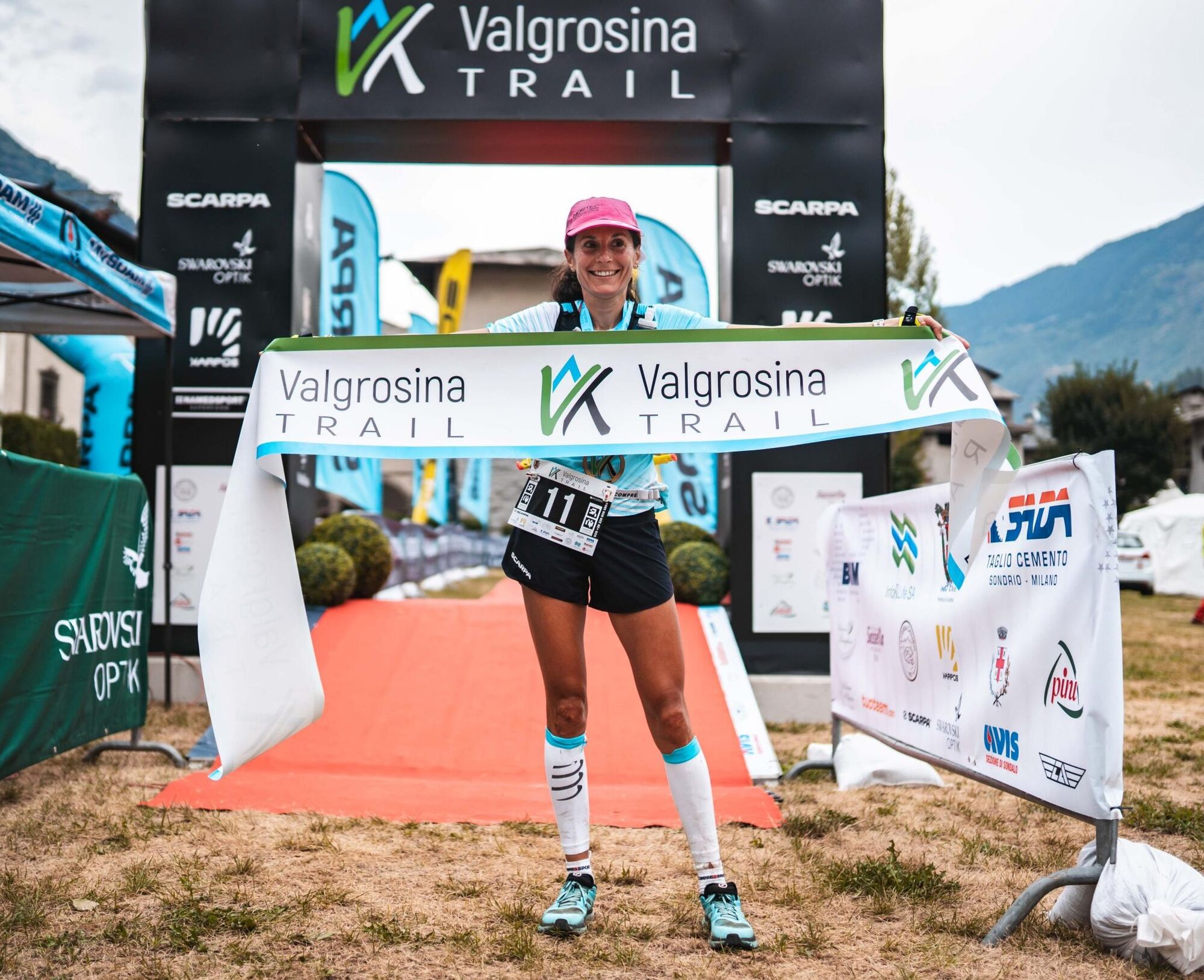
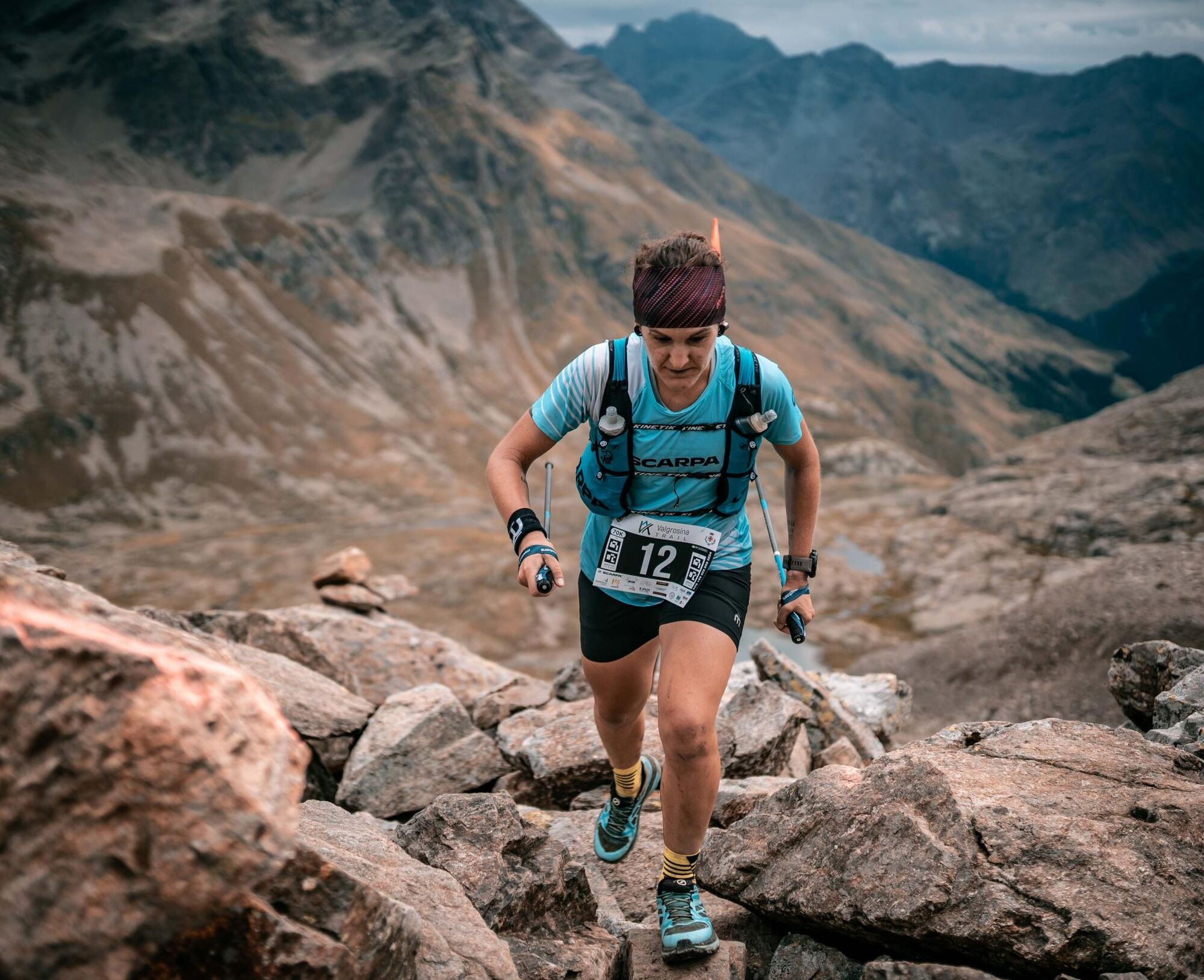
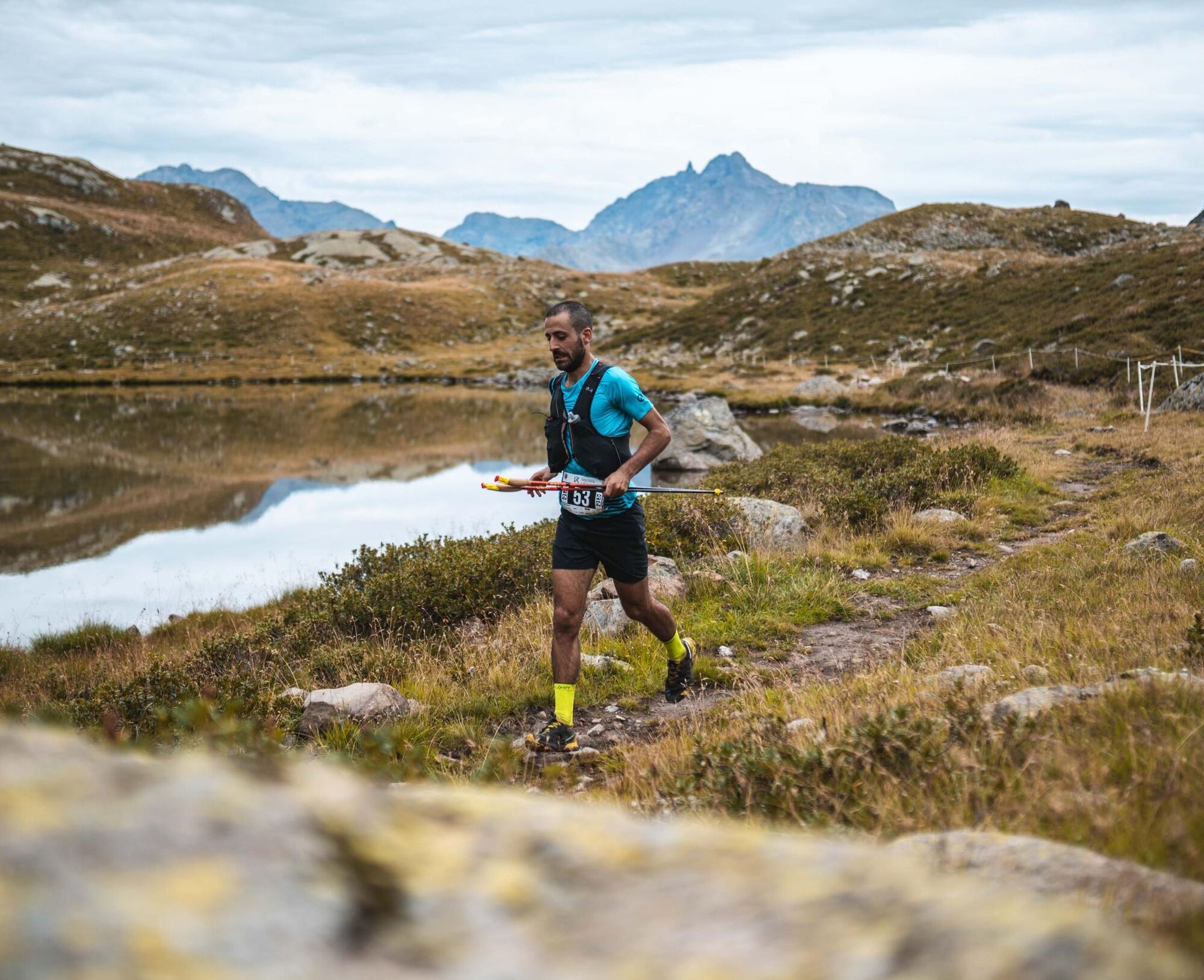
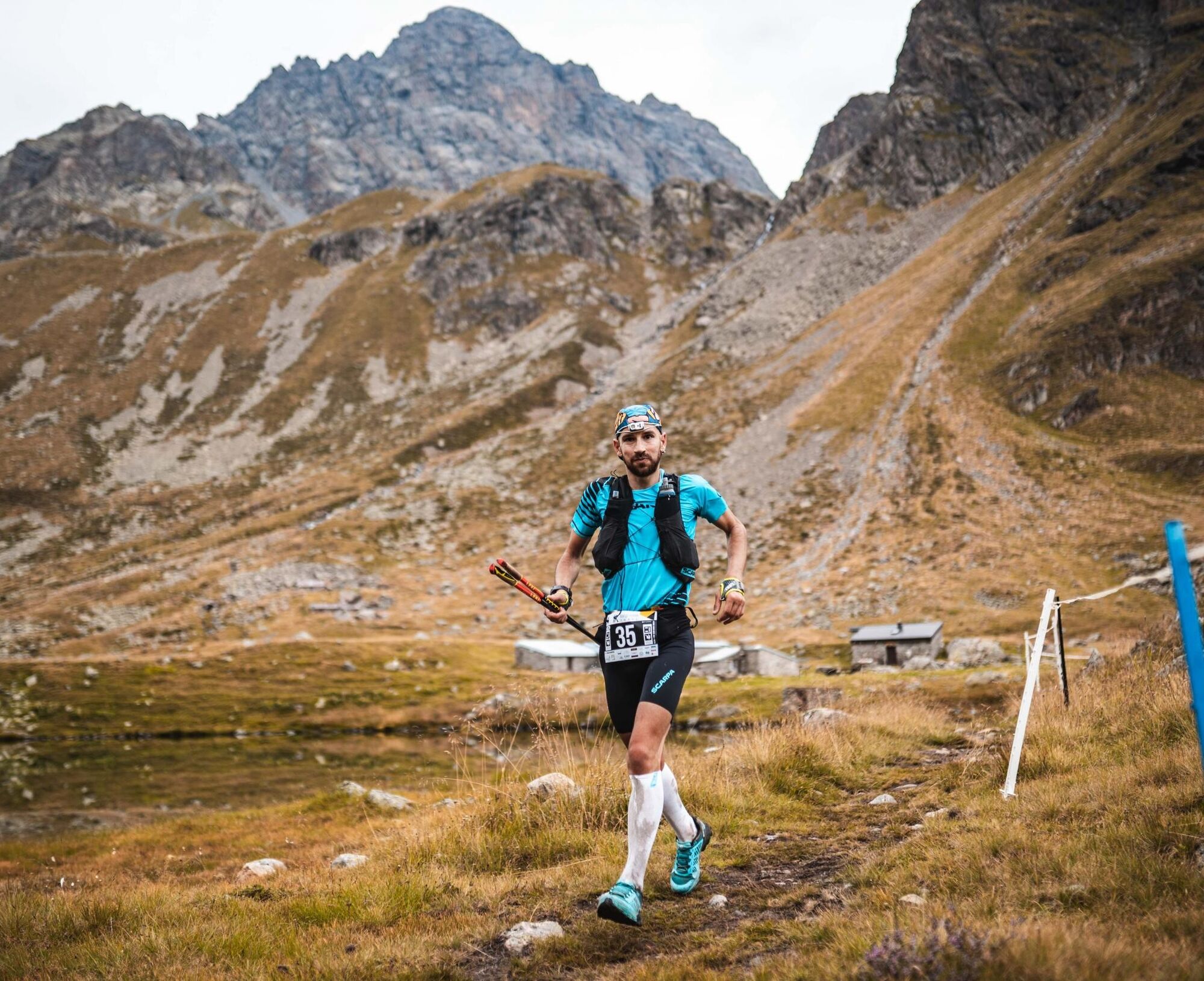
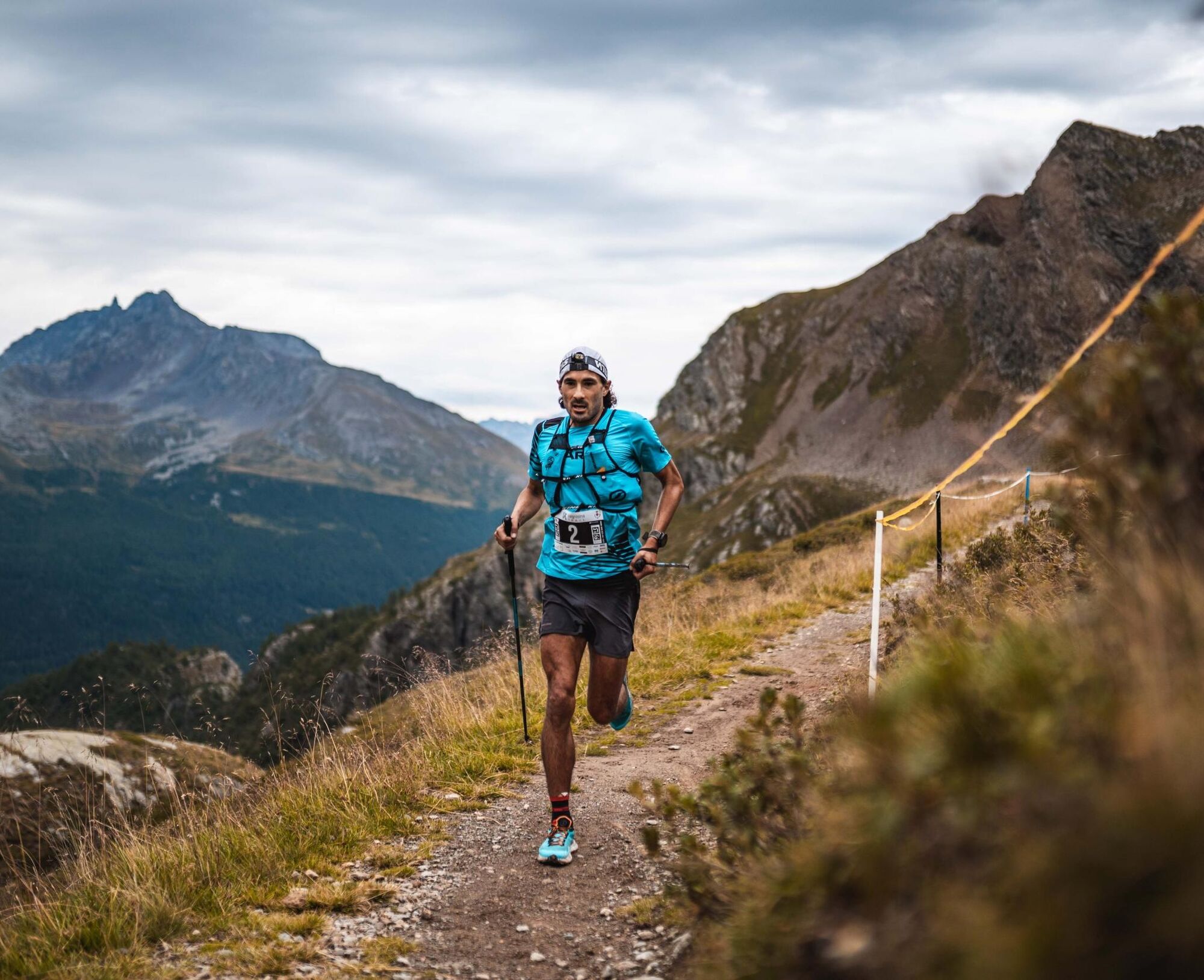
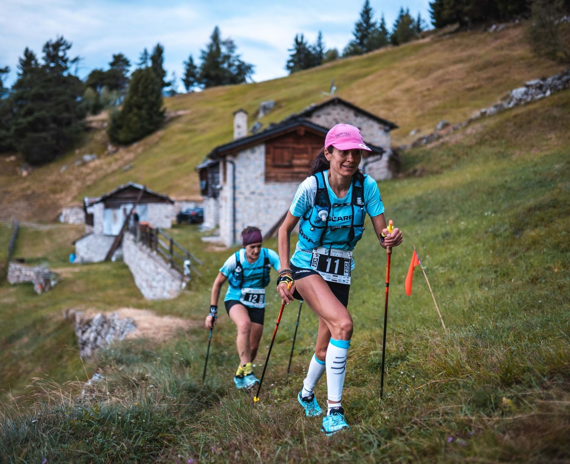
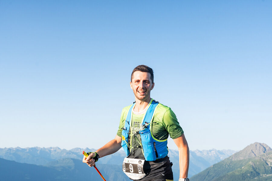
Valgrosina Trail 70k
Stopnja težavnosti: T4
The main race, which will allow the bravest to cross all the symbolic locations of Val Grosina.
Start at 5 in the morning, ascent up to the Croce di Storile, passage to the Lake of the Scattered Waters...
The main race, which will allow the bravest to cross all the symbolic locations of Val Grosina.
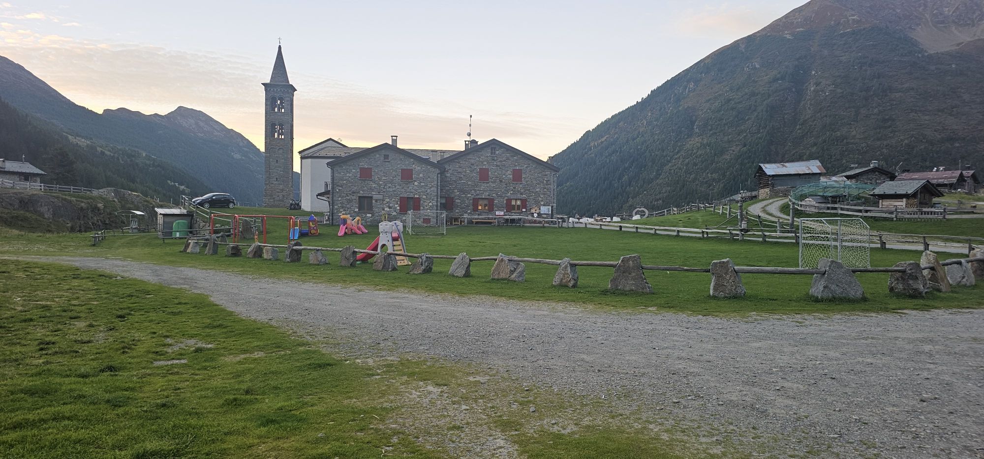
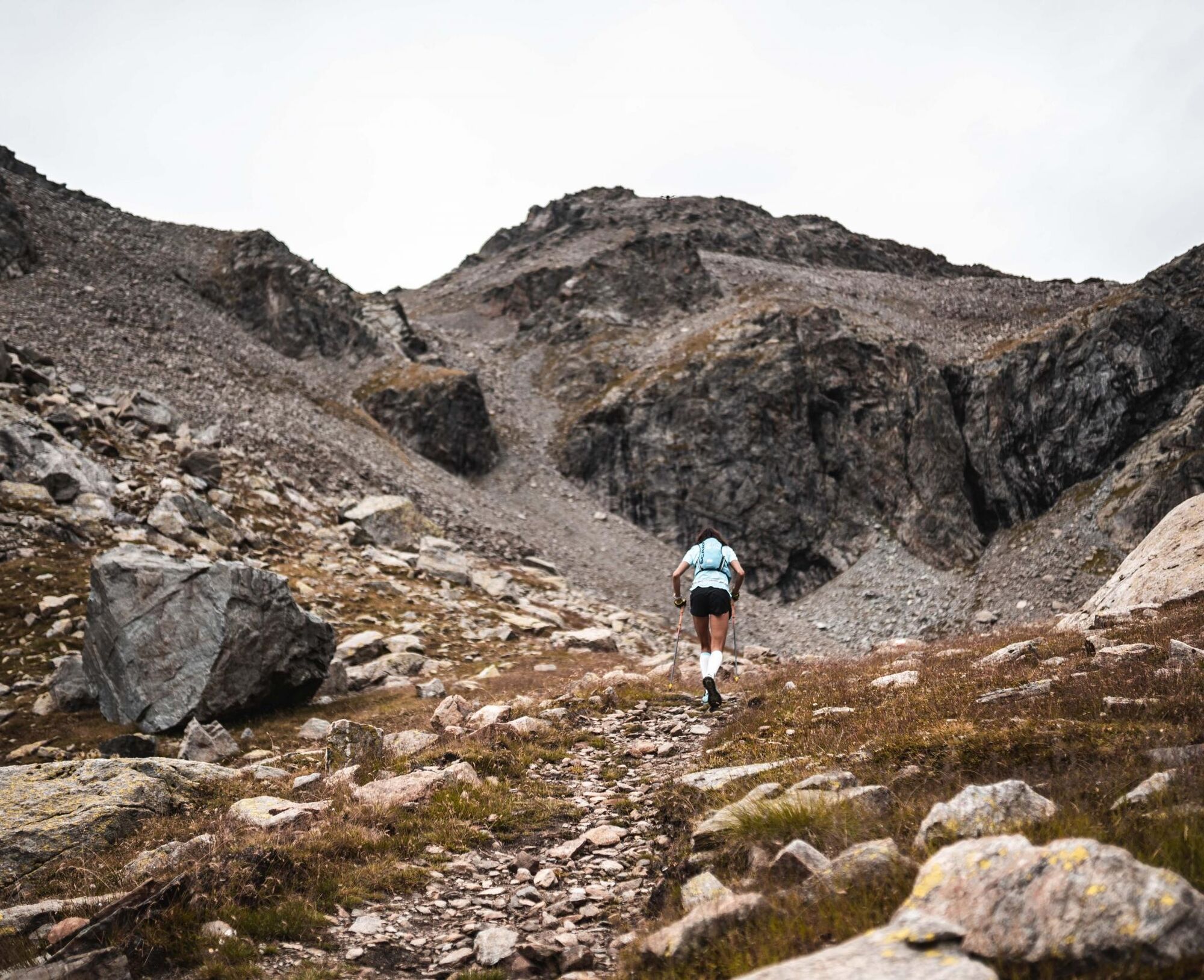
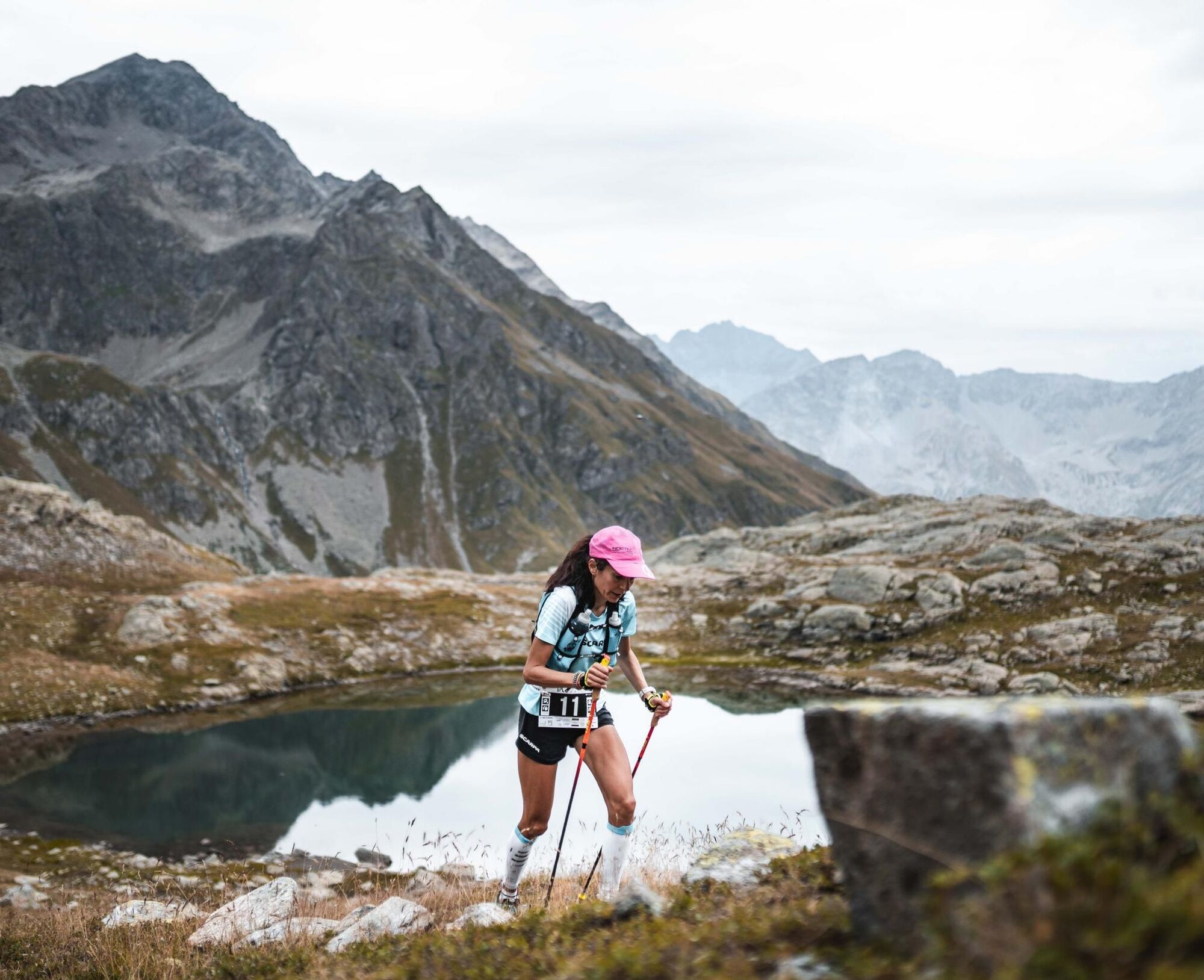
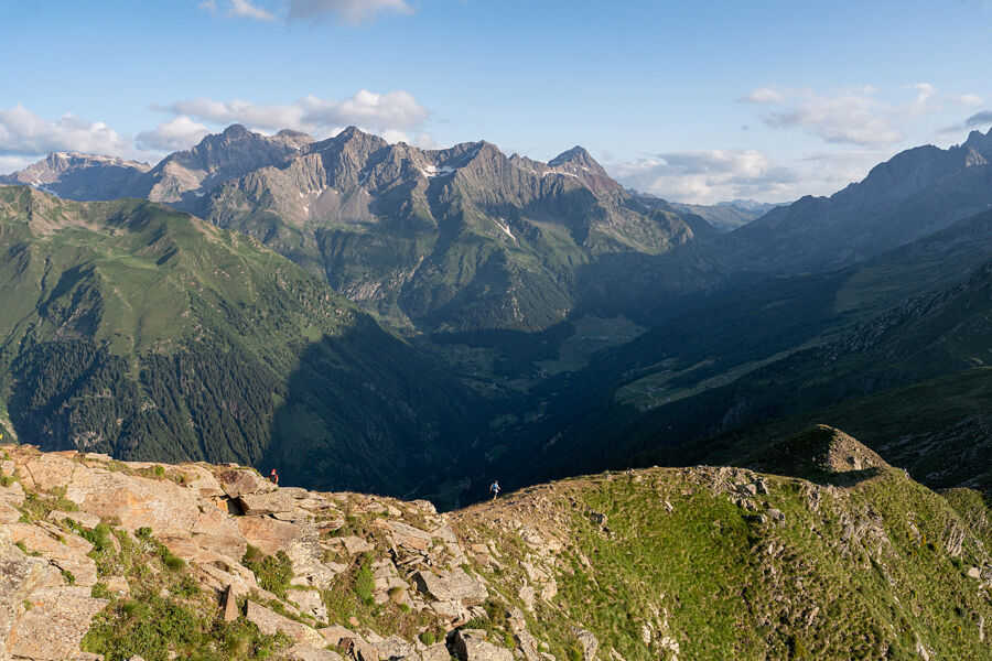
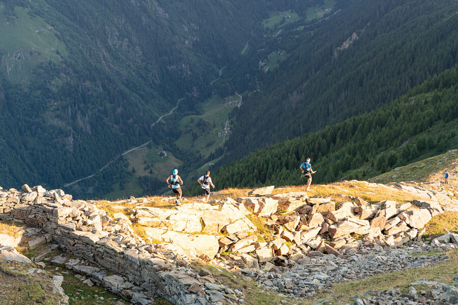
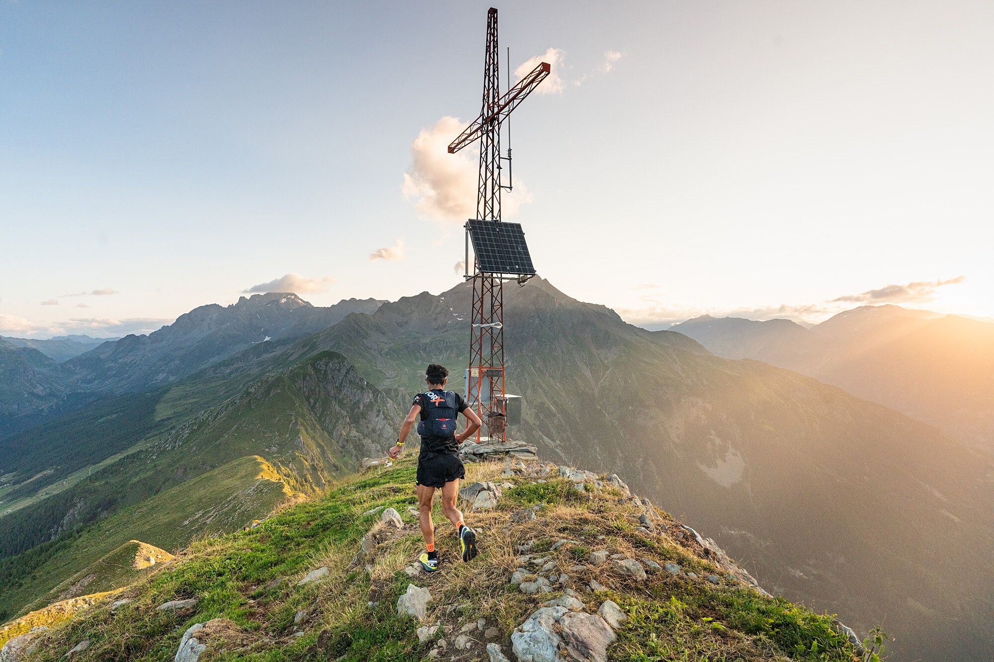
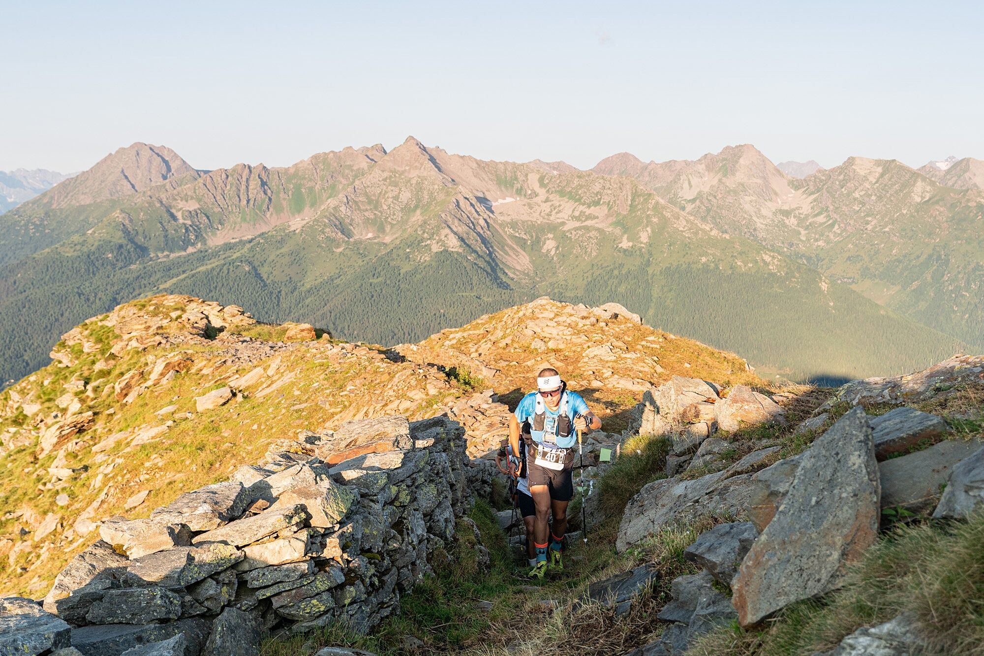
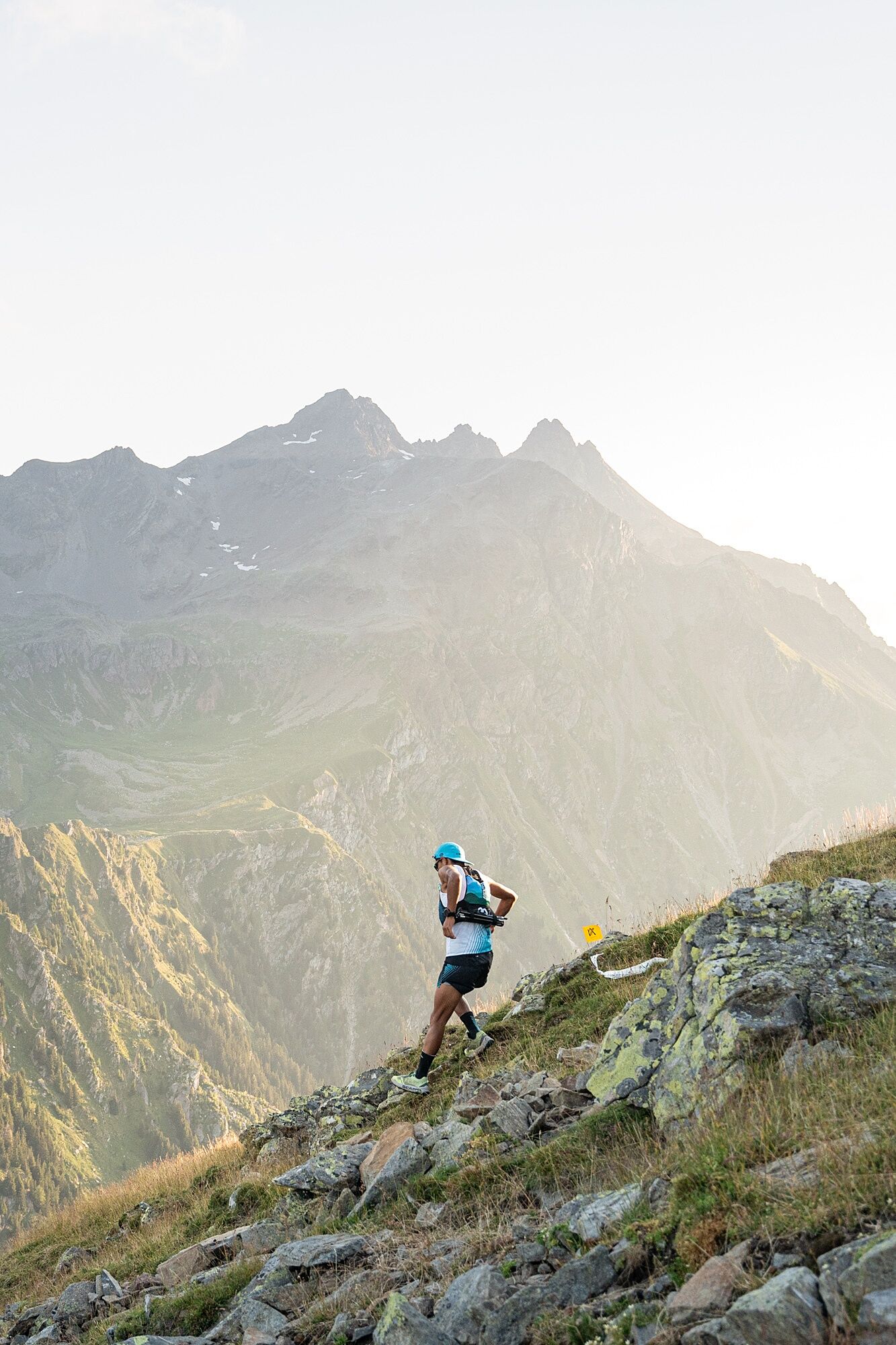
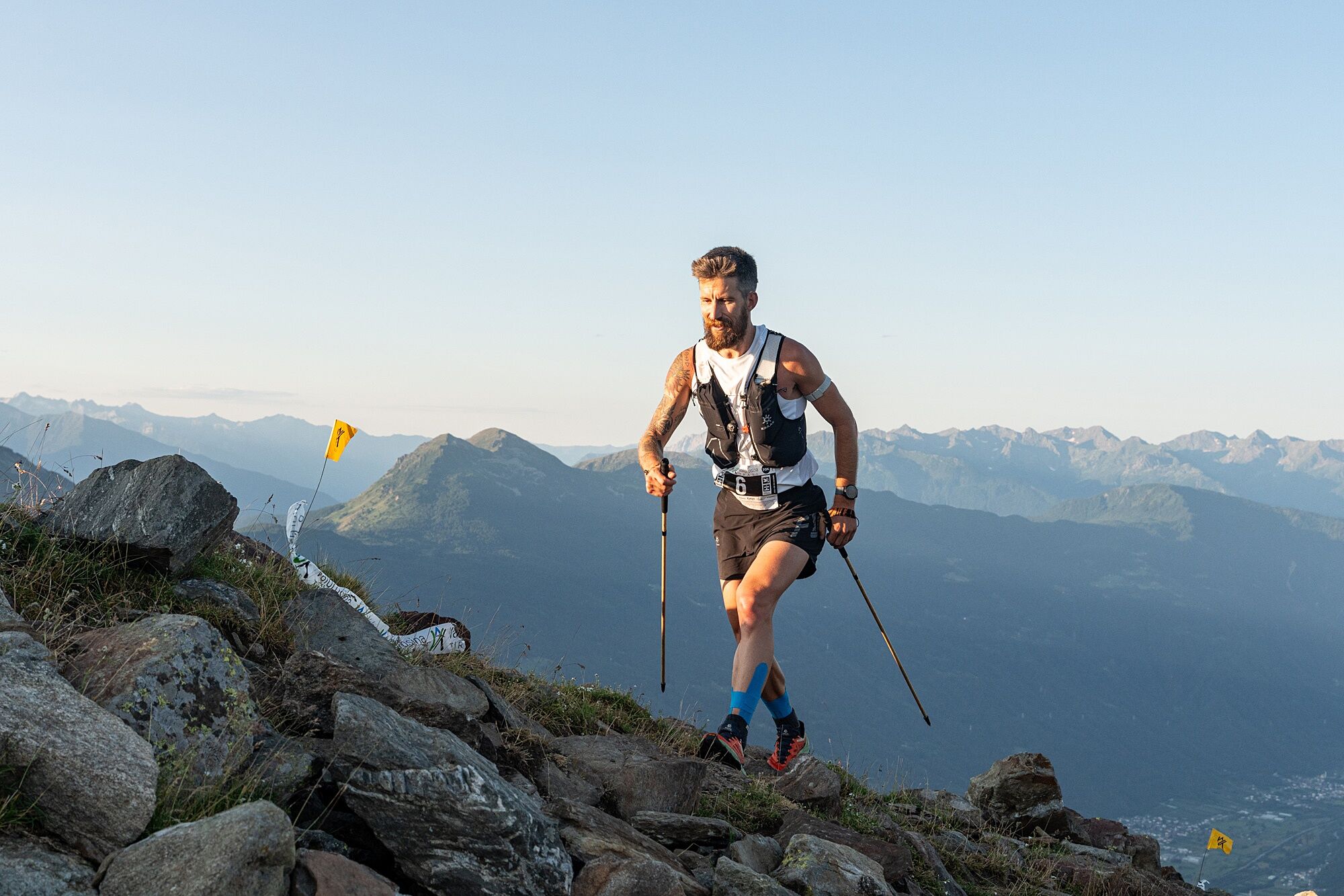
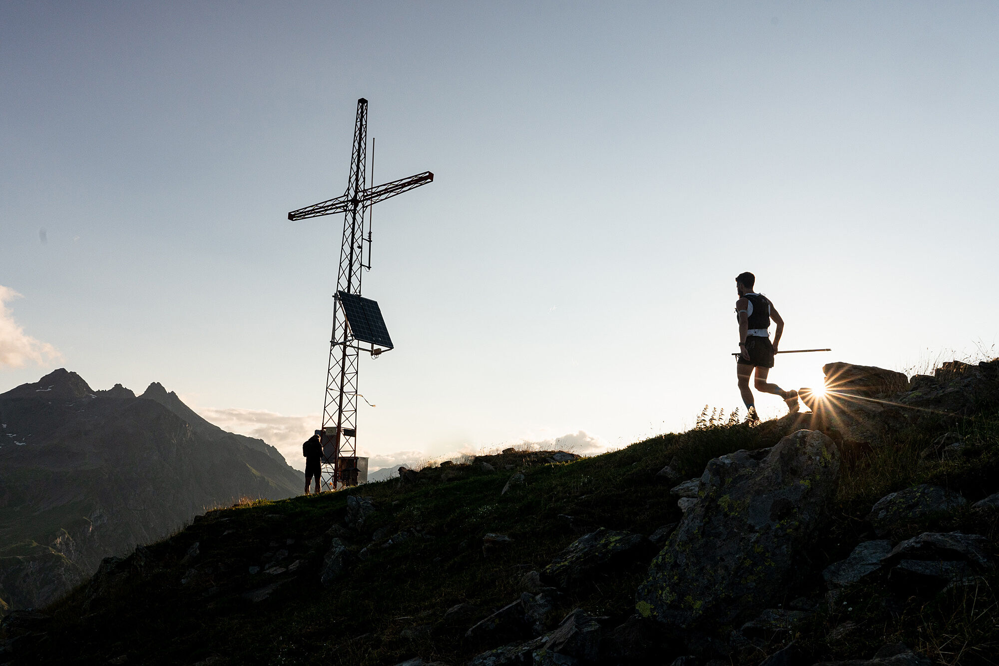
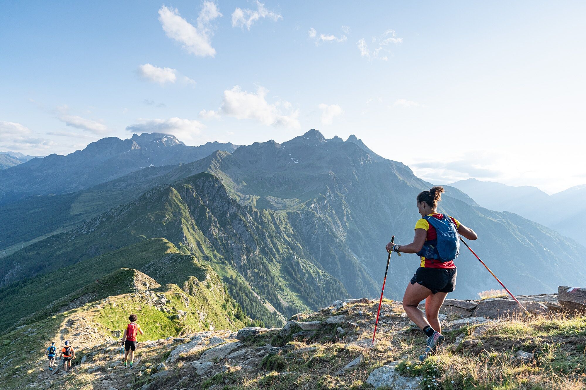
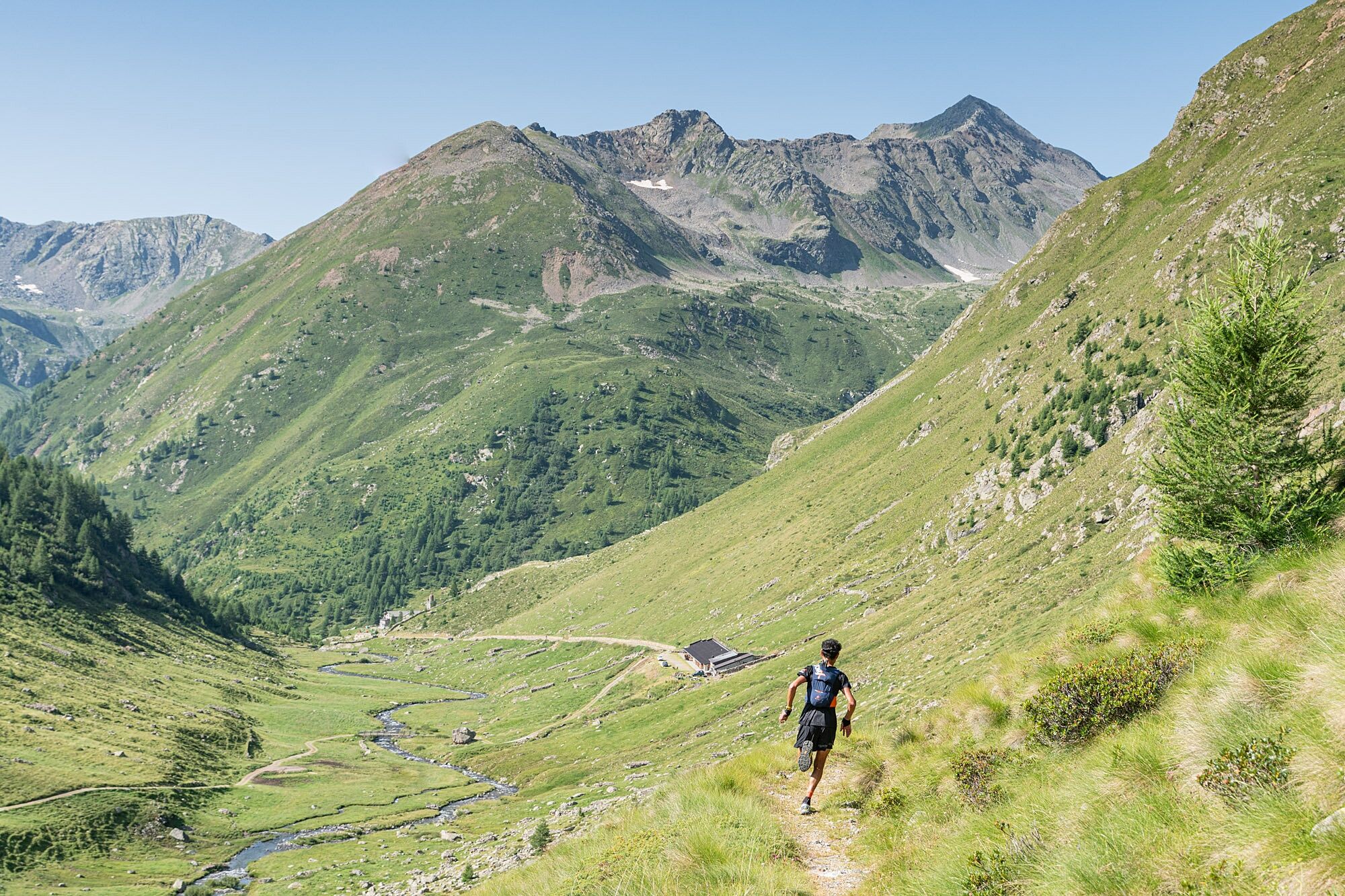
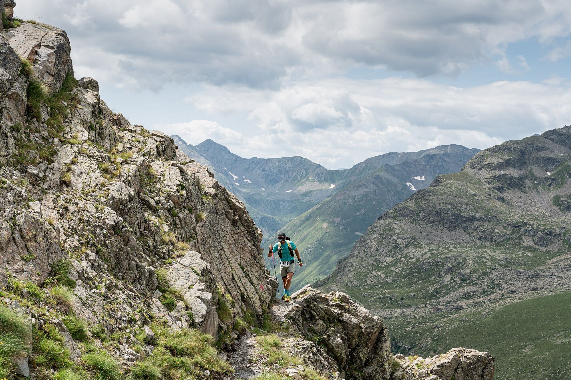
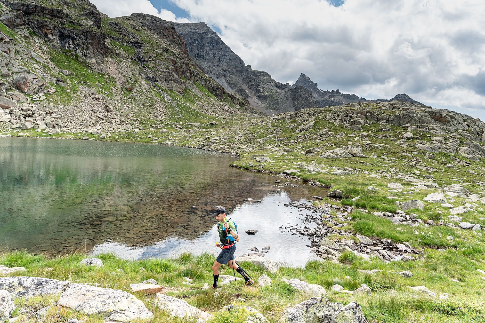
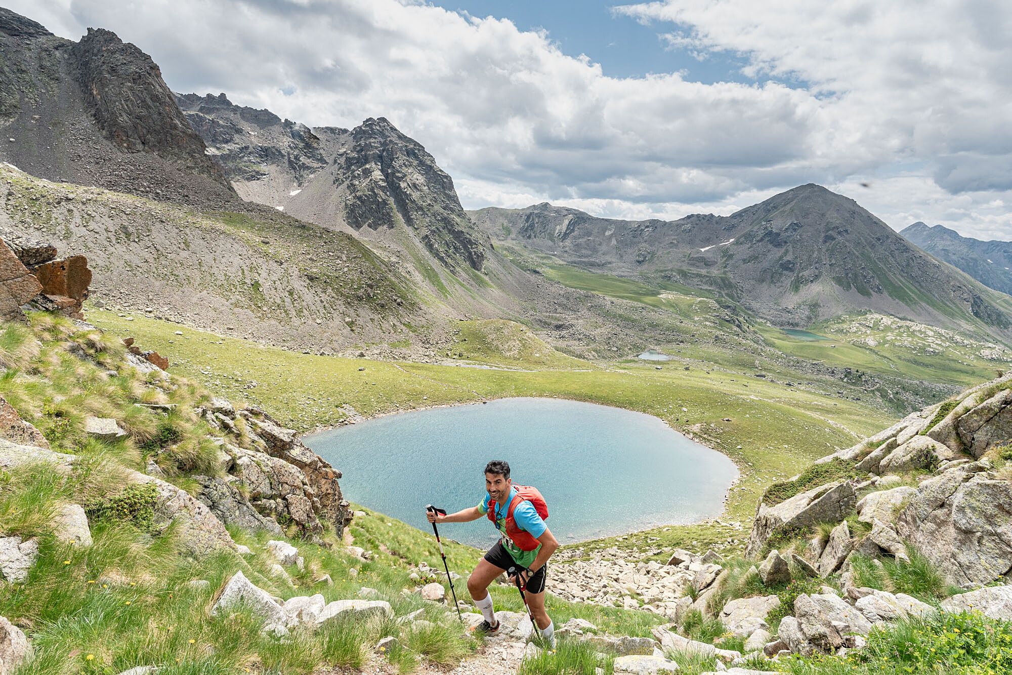
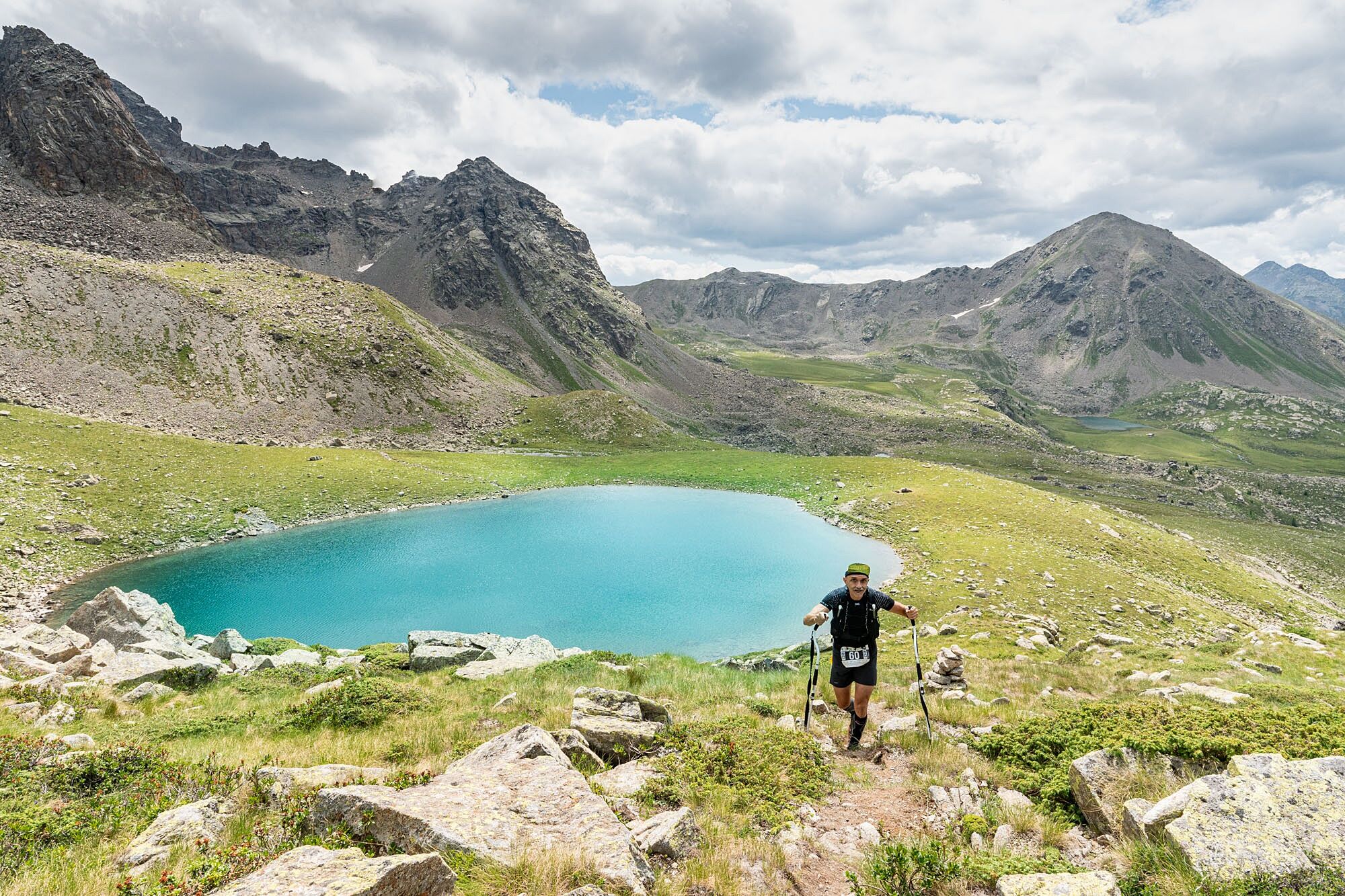
Start at 5 in the morning, ascent up to the Croce di Storile, passage to the Lake of the Scattered Waters and then descent to Eita (first time gate). From here, with about 24 km and 2000 m of positive elevation gain already in your legs, begins the climb that will take you up to the Vermulera Pass (2734 m a.s.l., highest point of the entire race), passing through the hamlet of Vermulera (1940 m a.s.l.), the Tres small lakes (2200 m a.s.l.) and the splendidVenere Lake (2410 m a.s.l.). The descent to the locality of Pian del Lac (2325 m a.s.l.) is steep but very runnable.
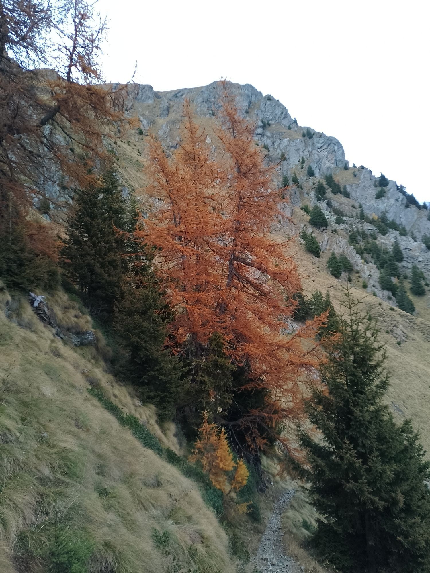
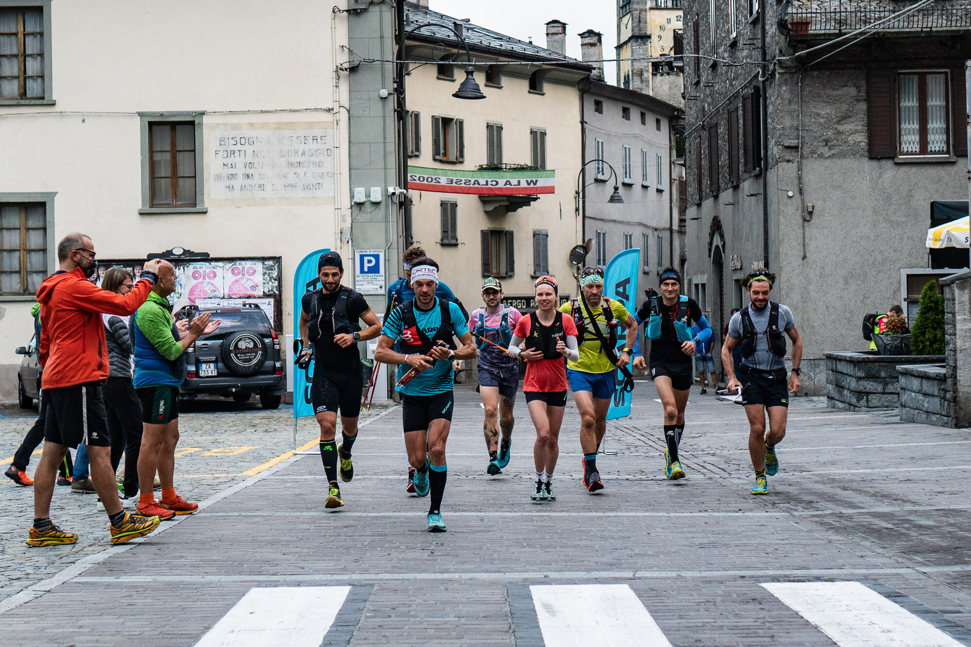
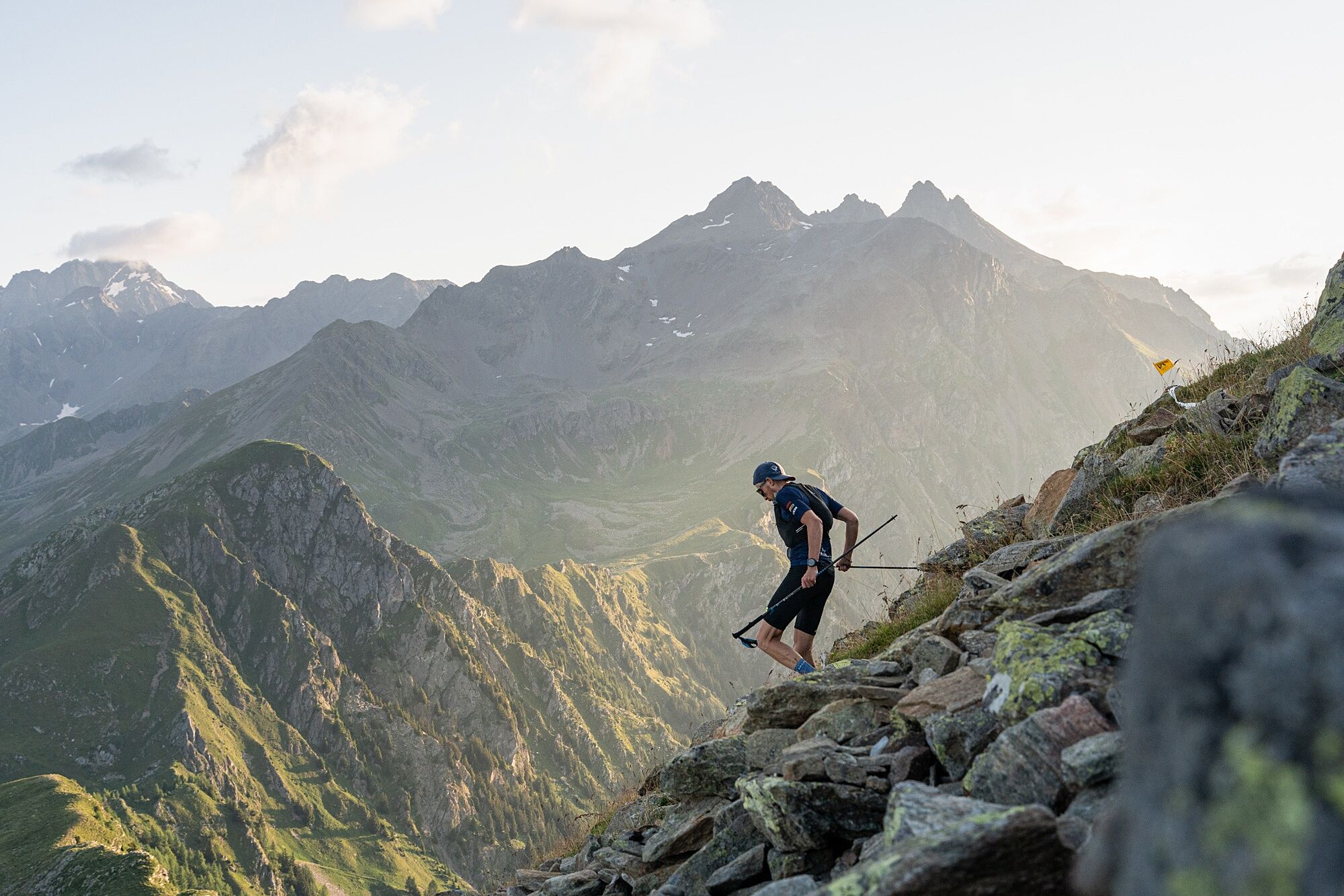
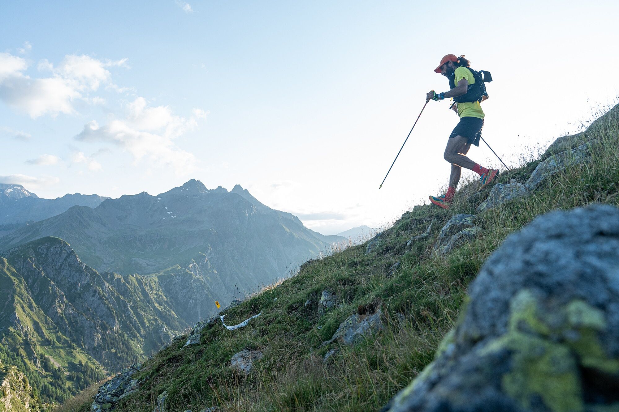
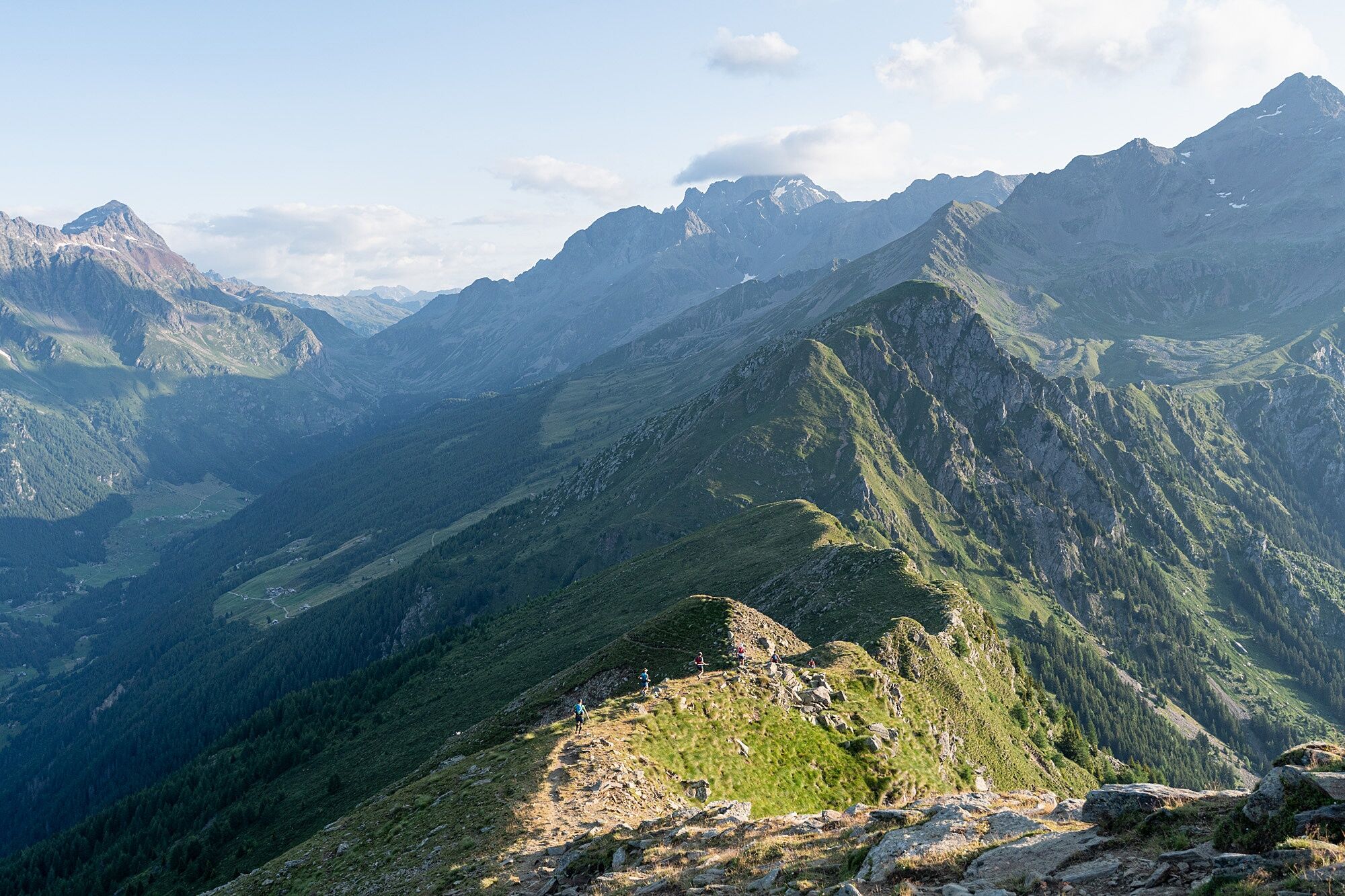
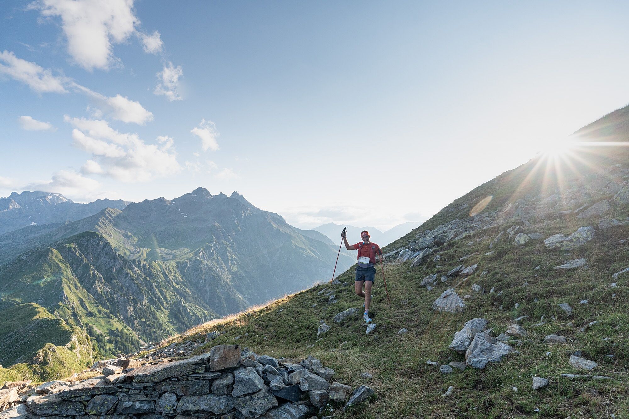
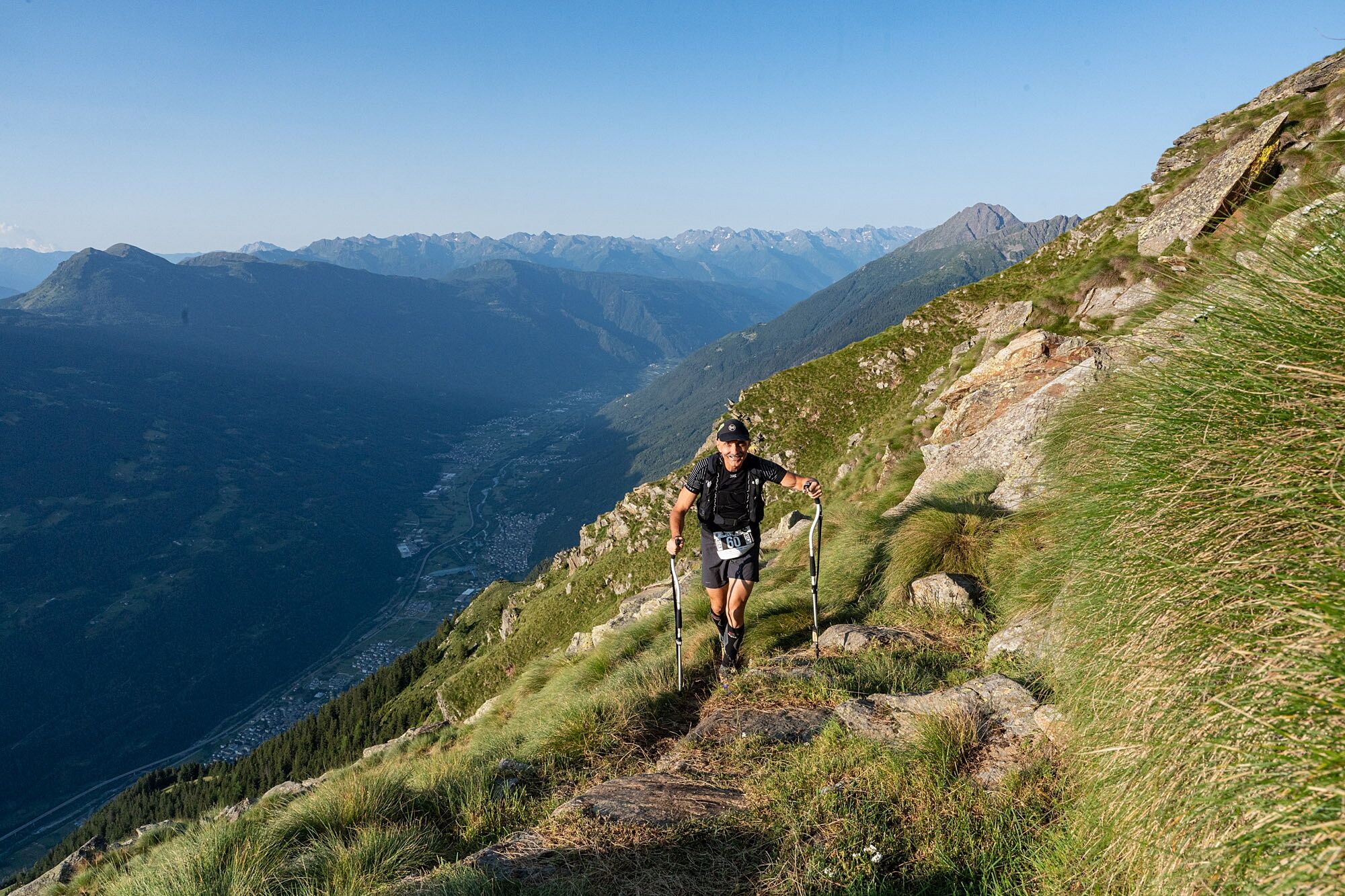
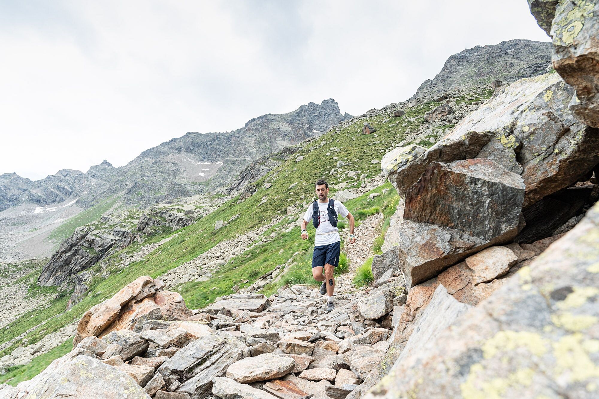
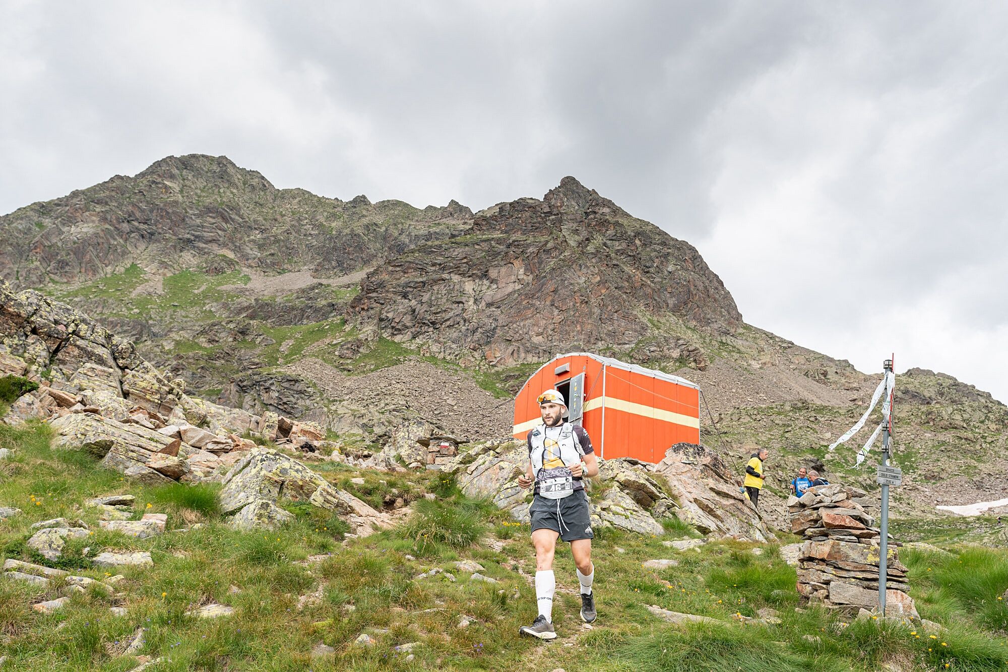
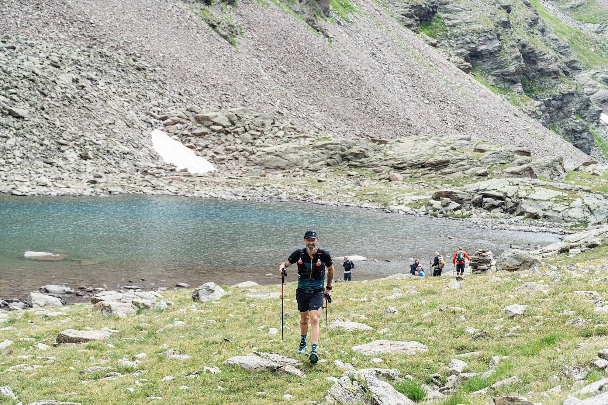
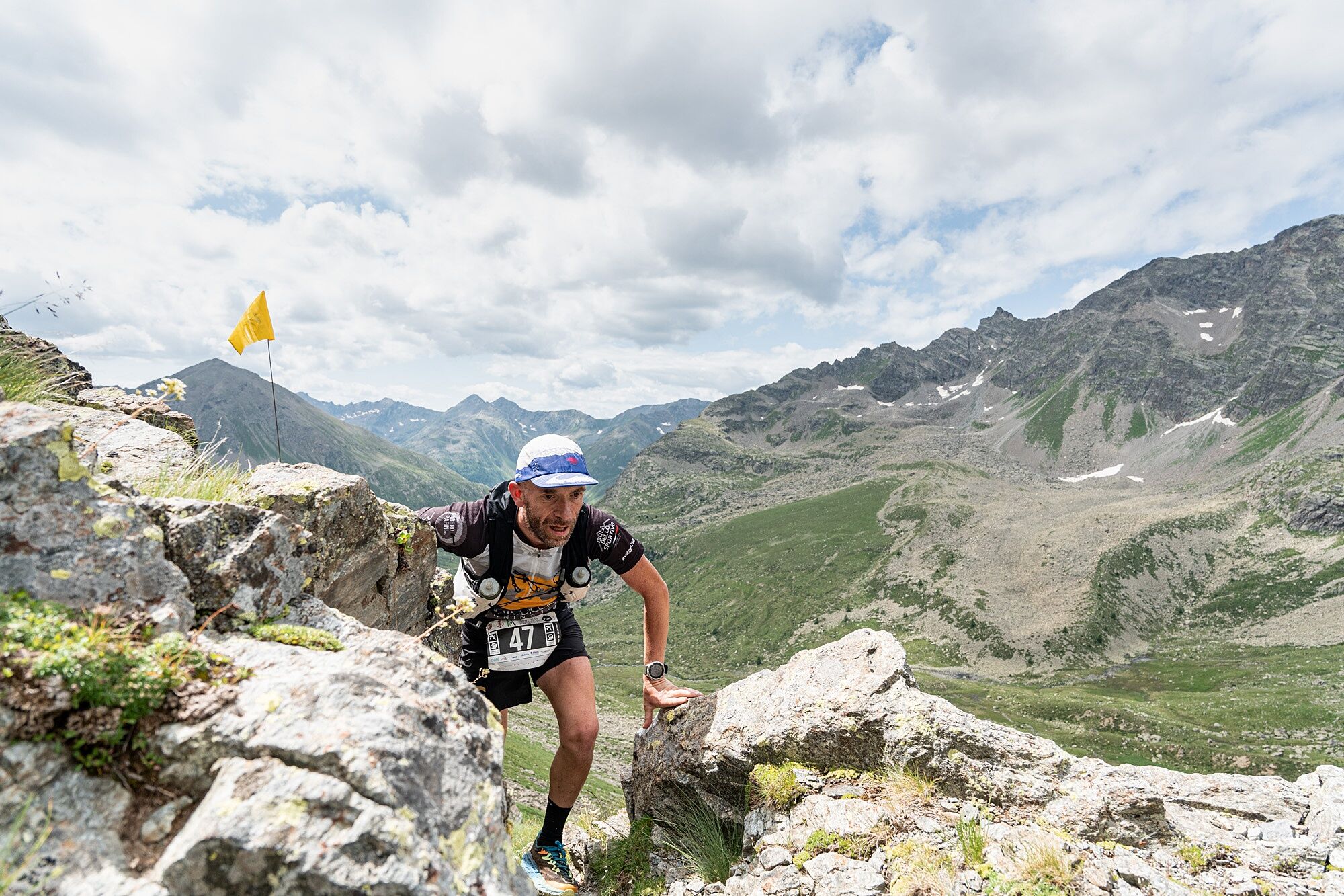
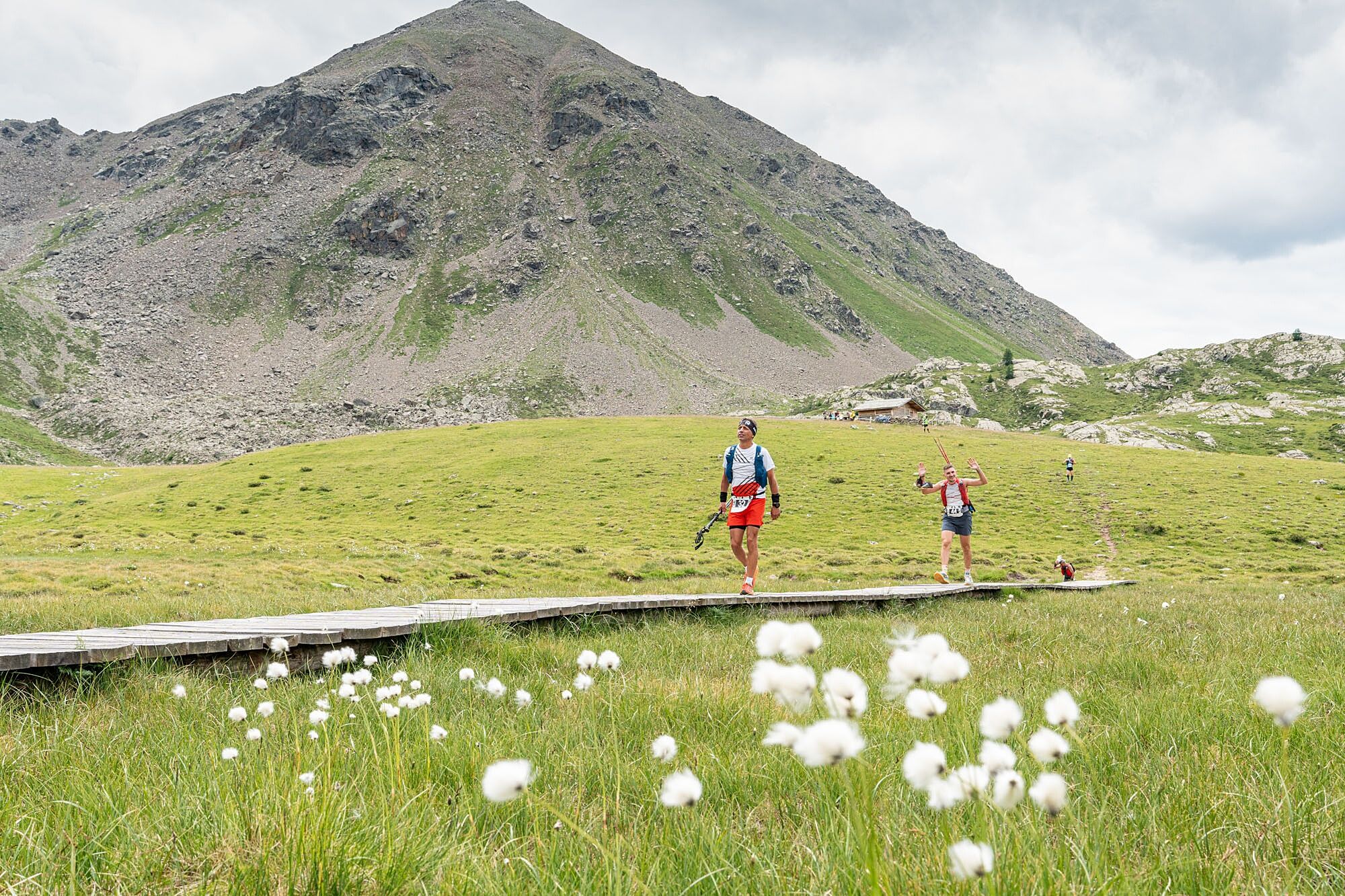
It's now time to enter the wild Val di Sacco, along the technically most complex section of the entire route, which after about 5km will lead you to Sapelaccio lake (2580 m a.s.l.), and from there to the characteristic Bivacco Duilio. A slope initially very steep, then gradually more regular, leads to touch the Malghera farm building (1964 m a.s.l., second time gate), from which you will climb the other side until the homonymous majestic lake, to bypass and then return to Malghera and head back towards Val di Sacco, soon diverting onto the trail that in about 8km of continuous and challenging undulations, the last muscular section, will allow you to reach the splendid alpine pasture of Biancadino (2260 m a.s.l.). The real climb is finally over, and athletes will finally be able to relax their legs and unleash the remaining energy along the descent leading to Fusino (1200 m a.s.l., last refreshment), through truly spectacular trail sections touching the localities of Fopp. From here, along an asphalt stretch that borders the homonymous dam, you rejoin the road leading to San Giacomo, where the last part of the race begins. The view of the Visconteo Castle will be the last gift before the finish line, a sweet and well-deserved reward for all athletes who cross it.
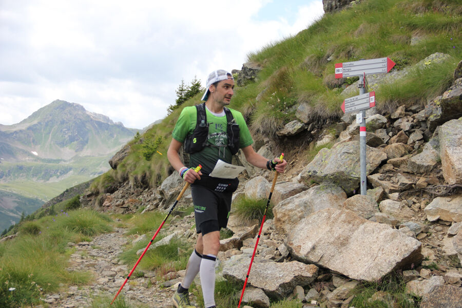
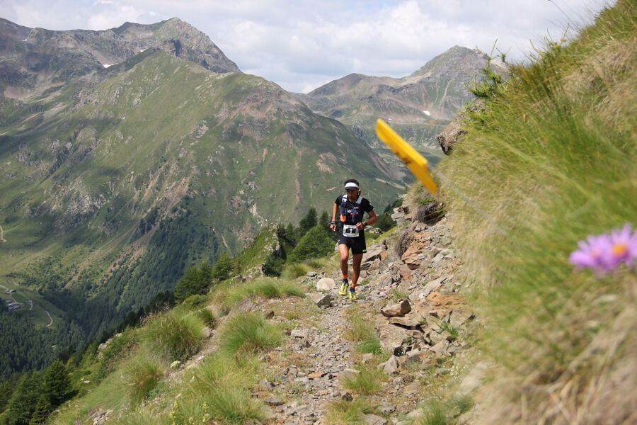
Directional arrows dedicated to the route will soon be installed. Follow the arrows according to the route you want to take.
Da
It is mandatory to have with you, for the entire duration of the race, the following equipment:
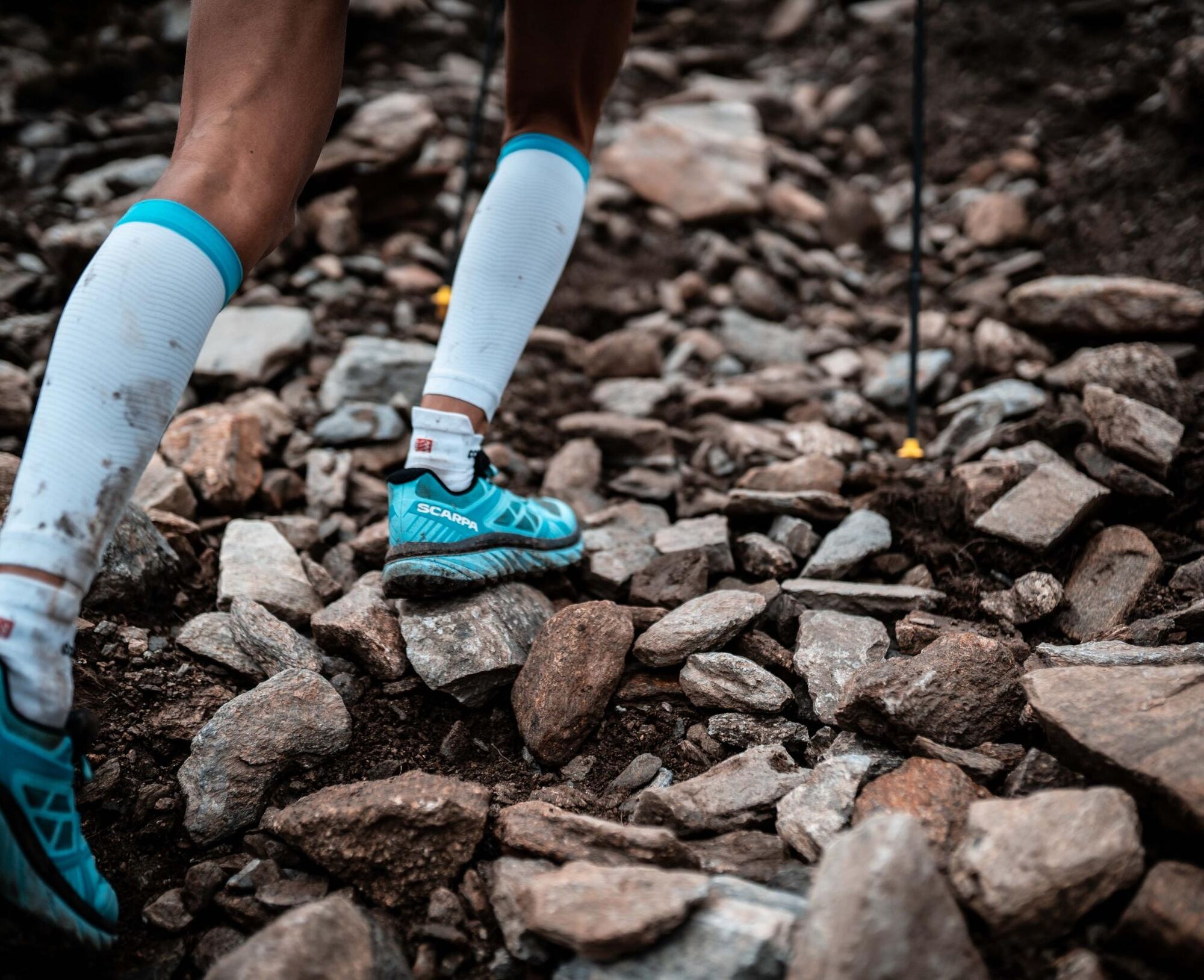
minimum 1 liter water reserve race bib clearly visible throughout the race survival blanket whistle mobile phone switched on with ringtone activated and the organization emergency number stored waterproof wind jacket with hood (minimum 15,000 mm water column/Schmerber) long-sleeve or short-sleeve shirt with arm warmers hat or bandana working headlamp plus spare battery cup, glass: as the event adheres to the PLASTIC FREE project, plastic cups will not be distributed at refreshment points; each competitor must have their own cup/container which can be filled at the supply points appropriate clothing/footwear the use of poles is allowed provided they are carried throughout the route It is recommended to have with you, for the entire duration of the race, the following equipment: fleece or equivalent long sleeves long pants or at least covering the knee glovesOn race day, aid stations will be positioned along the route and all will be connected by radio or telephone to the race coordination center.
The aid stations will provide assistance to anyone in danger, with available means and equipment on site. A competitor in difficulty or seriously injured can call for help:
By presenting themselves directly to an aid station By calling the number you will also find on the bib By asking another competitor to call for help on their behalfAll competitors are obliged to help anyone in danger and must immediately notify the rescue teams. The competitor cannot directly contact external rescuers.
Do not forget that unforeseen events of any kind, related to the environment and the race, can cause longer waiting times for rescue. Your safety therefore also depends on what you have put in your backpack!
Rescuers and official doctors, as well as all personnel appointed by the Race Direction, are empowered to:
exclude from the race competitors deemed unfit to continue require competitors to have all the mandatory equipment evacuate, by all means, competitors deemed to be in danger hospitalize competitors if their health condition requires itA competitor who requests the intervention of a rescuer or a doctor effectively submits to their authority and agrees to accept their decisions.
To reach Grosio by car, from Milan you can follow the SS 36 towards Lecco, then continue on SS 38 towards Sondrio, Tirano, and Bormio, exiting at Grosio.
From Brescia, you can take the SS 42 towards Iseo, then the SS 39 towards Edolo, Aprica, Tresenda, Tirano, and Bormio, always exiting at Grosio.
BY CAR
S.S. 36/38 Milan: Milan – Lecco – Colico - Morbegno – Sondrio – Tirano - GrosioS.S. 340 Regina: Como - Menaggio – Colico – Morbegno – Sondrio – Tirano - GrosioS.S. 39 Aprica Pass: Brescia - Edolo – Aprica – Tresenda – Tirano – GrosioMortirolo Pass: Monno – Mortirolo Pass - GrosioS.S. 38 Stelvio: Bolzano - Merano – Stelvio Pass – Bormio – Sondalo - GrosioN. 28 Zernez (CH): Zernez – Livigno – Valdidentro – Bormio – Sondalo – GrosioN.27 Zernez (CH): Zernez – Samedan - Bernina Pass – Poschiavo - Tirano – GrosioS.S. 36 Spluga: Spluga Pass – Chiavenna – Colico – Morbegno – Sondrio – Tirano - GrosioS.S. 37 Maloja: Maloja Pass - St. Moritz – Bernina Pass - Poschiavo - Tirano - GrosioS.S. 29 Bernina (CH): St. Moritz – Bernina Pass – Poschiavo - Tirano - Grosio
BY TRAIN
TRENORD line from Milan (Central Station):
Milan – Sondrio/Tirano Main stops: Lecco - Colico - Morbegno - Sondrio - TiranoLines offer connections almost hourly. Trenord line from Milan to or from Chiavenna to Sondrio / Tirano: www.trenord.it
Rhaetian Railway line from Chur (Switzerland) with the famous "Bernina Red Train"
Chur – St. Moritz – Tirano Main stops: Chur - Zernez - St. Moritz - Poschiavo - TiranoRhaetian Railway "Bernina Red Train" line Chur – St. Moritz – Tirano: www.rhb.ch/
BY BUS
Network of internal connections among the main localities of Valtellina.Timetables: Lombardy Region Infrastructure and Mobility: www.muoversi.regione.lombardia.it
Main locations served by public buses: Chiavenna - Madesimo - Morbegno - Valgerola - Valmasino -Tartano - Sondrio - Valmalenco - Teglio - Aprica - Tirano - Grosio - Sondalo - Bormio - Valfurva - Valdidentro - Livigno
BY PLANE
It is possible to reach Valtellina from the main airports in Lombardy connected by bus service to Milan Central Station:
Milan - Malpensa (195 km from Grosio)Milan - Linate (190 km from Grosio)Bergamo - Orio al Serio (140 km from Grosio)
Or from the international airport of:
Zurich (270 km from Grosio)
- EX ENEL Area Parking
- Valtellina Trail Parking
- Ghisalba Area Parking
- Public parking at sports field
T4
It is essential to respect the principle of an individual semi self-sufficient race. The Valgrosina Trail races take place in a single stage, at free speed, within a time limit imposed by time gates specific to each race. Semi self-sufficiency is defined as the ability to be autonomous between two refreshment points, both in terms of food and equipment and safety, and to be able to adapt in case of any encountered or foreseeable problems (bad weather, physical disorders, injuries…)
This principle implies the following rules:
The competitor must have all mandatory equipment with them for the entire duration of the race (see EQUIPMENT paragraph). This material must be carried in the backpack. At any time, the organization may check the backpack and its contents. The competitor is obliged to undergo these checks, politely, under penalty of expulsion from the race.
At the start from each refreshment point, the competitor must have enough water and food to reach the next refreshment autonomously.
It is forbidden to be accompanied or accept being accompanied by anyone not registered in the race, on a stretch or the entire race, outside the tolerance zones.
The race adheres to the campaign “I do not drop my waste”: those caught abandoning material and/or waste on the route and outside the designated points may be disqualified.
The event adheres to the PLASTIC FREE project: plastic cups will not be distributed at refreshment points; every competitor must have their own cup/container which can be filled at the supply points.
The best advice we want to give you is to start and enjoy the route with a breathtaking view.
Bring the right supplies with you, wear appropriate mountain clothing, and start letting yourself be enchanted by the wonderful valley.
Priljubljeni izleti v okolici
- 5,0
Mountain hike to Lagh da Saoseo
težkoPohodništvo 15,0 km Alp Grüm - Cavaglia - Poschiavo
srednjaPohodništvo 9,41 km- 5,0
53 Bernina Tour Switzerland: Stage 1 Poschiavo-Bernina Pass
srednjaPohodništvo 14,6 km - 4,5
Da Sfazù a lago Saoseo
svetlobaPohodništvo 11,0 km Giro del Lago - Le prese - Miralago
svetlobaPohodništvo 7,43 kmVal da Camp (724)
srednjaPohodništvo 5,33 kmAlp Grüm - Cavaglia (Via Stablini)
Pohodništvo 3,02 km33.08 Ospizio Bernina - Cavaglia, Via Albula / Bernina
srednjaPohodništvo 9,39 km- 5,0
Alp Grüm - Cavaglia (via Val da Pila)
Pohodništvo 5,49 km - 5,0
Ospizio Bernina - Cavaglia (Via Val da Pila)
Pohodništvo 7,94 km

Pohodništvo in sledenje


Ne zamudite ponudb in navdiha za naslednje počitnice
Vaš e-poštni naslov je bil dodan na poštni seznam.