


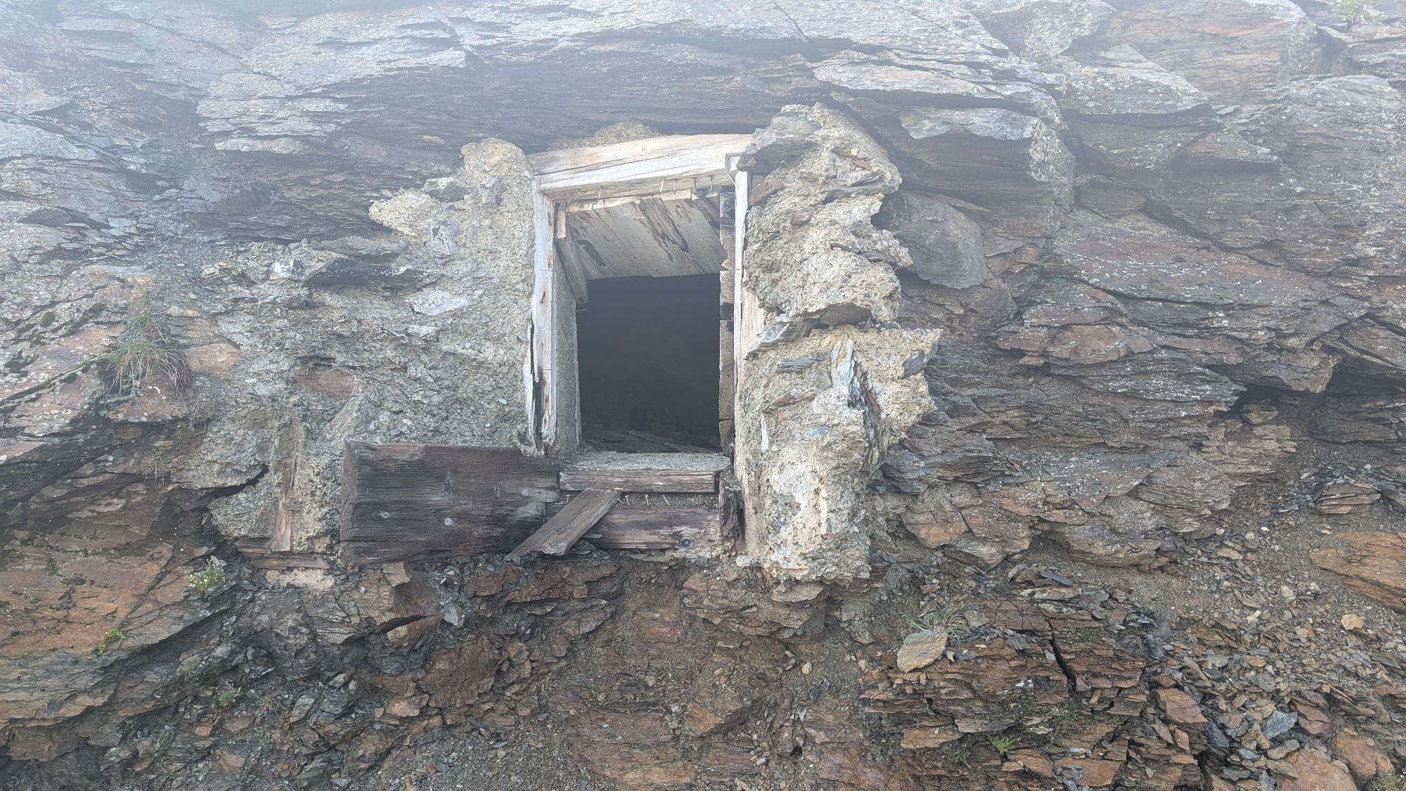
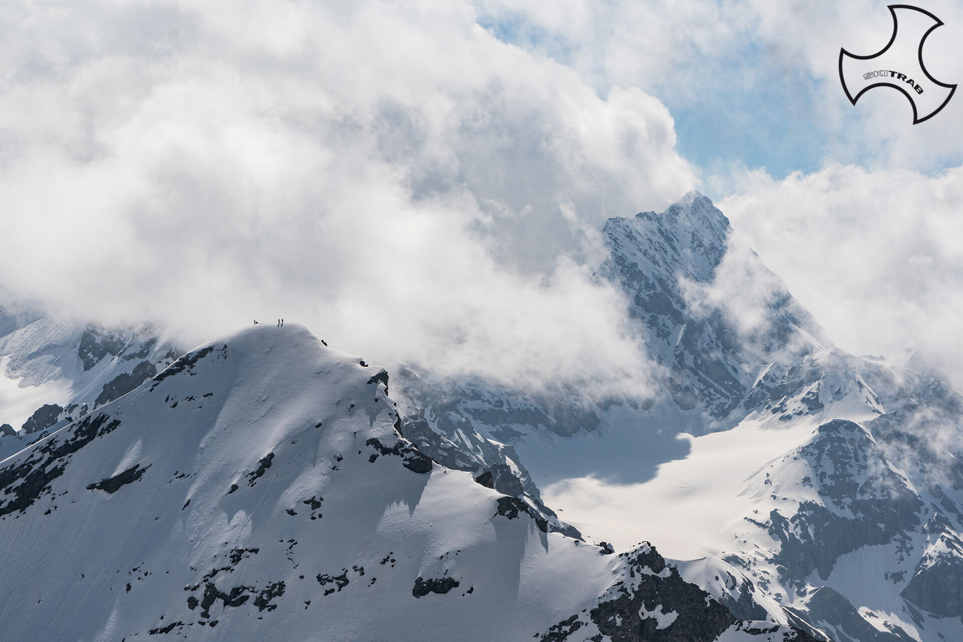
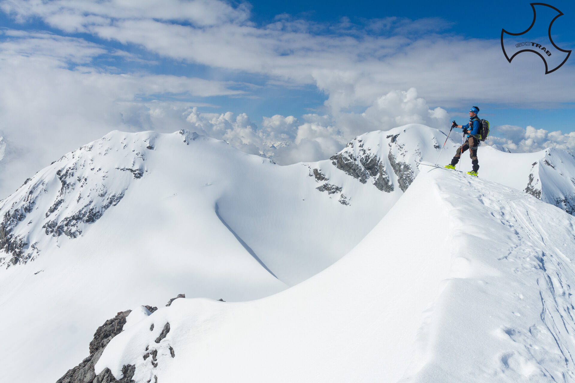
Tuckett Peak
Upstream of the Stelvio Pass cable car in a southeasterly direction, start climbing the ski slope, staying appropriately on the edges. Arriving at the locality of Nagler, at the arrival of the first trunk...
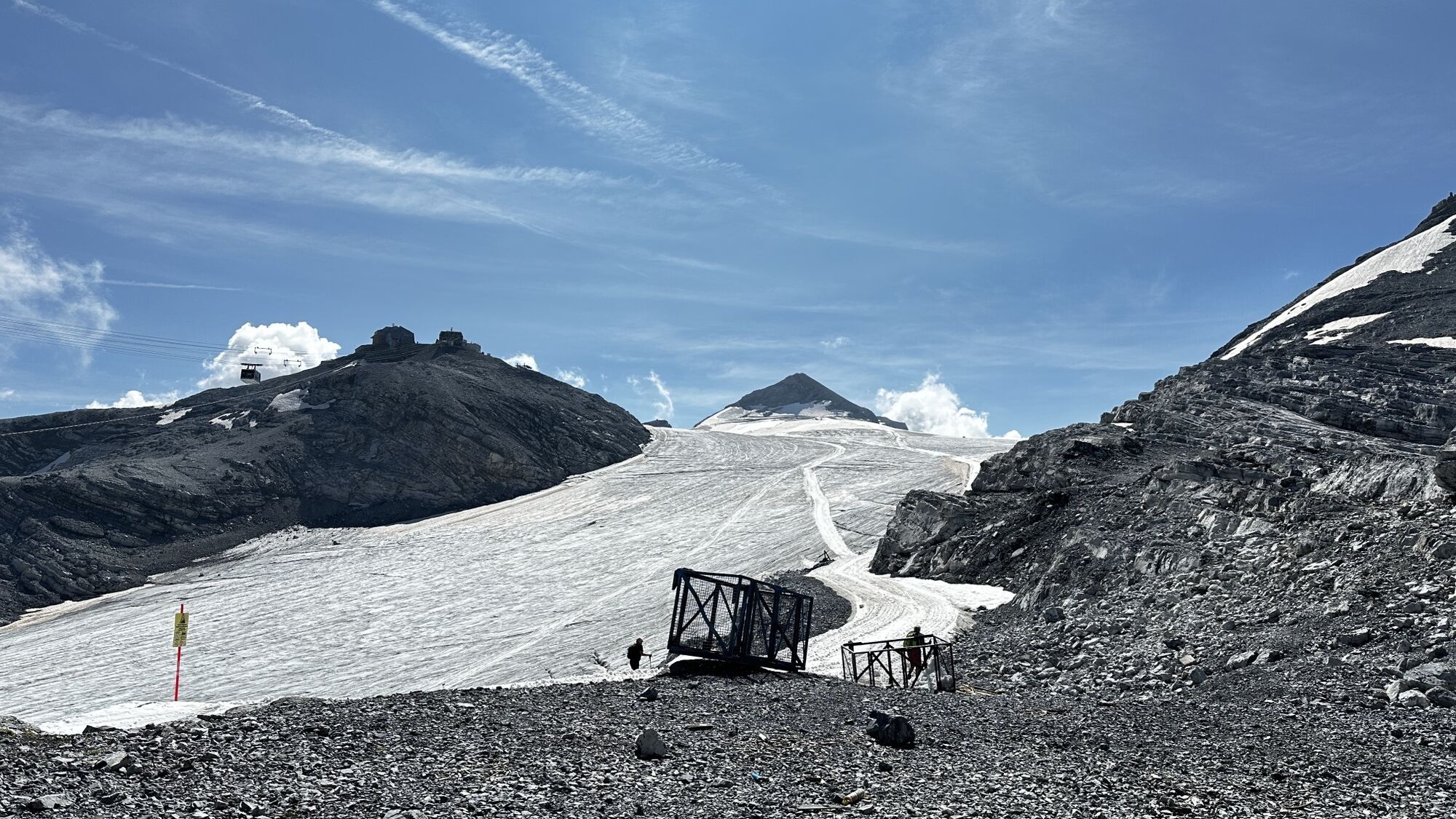
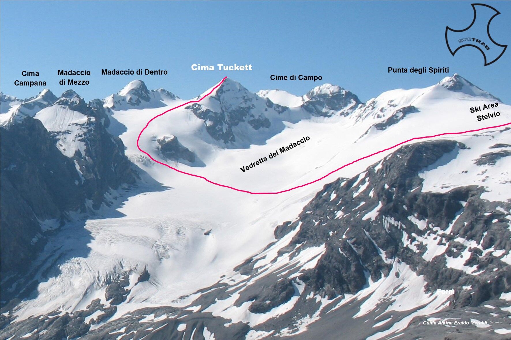
Upstream of the Stelvio Pass cable car in a southeasterly direction, start climbing the ski slope, staying appropriately on the edges. Arriving at the locality of Nagler, at the arrival of the first trunk of the cable car and where there are a couple of hotel facilities, you enter the Vedretta Piana glacier and continue in the direction of Monte Livrio, where you will also find the refuge of the same name. Passing near the ski lift that goes up to Punta degli Spiriti, you descend to the left arriving on the Vedretta del Madaccio. Gradually bear left toward Madaccio di Mezzo and climb a steep slope passing to the left of an obvious rocky block emerging from the glacier. When the slopes decrease you continue for a stretch in the direction of Tuckett Pass and then turn right going up the obvious north edge of the mountain. The last steeper section is tackled with several switchbacks until arriving just below the summit; here, depending on snow conditions, it may be advisable to remove the skis, thus reaching the summit.
Campacciolo, Val del Vago, Monte Vago.
Self-rescue equipment (ARTVA, shovel and probe). Rampant, harness, ice axe and crampons.
Itinerary to be done when the Stelvio road is passable (Usually, from mid-late May, then extending until early July depending on snowfall. In the fall period if it snows heavily, it is again possible to travel this interesting route until the road is closed, which is usually in early November. The final section of the route, is usually climbed with mountaineering equipment.
The route description and track are approximate and should be checked on site depending on the state of the snowpack present during the hike.
Because this is a hike in a snowy mountain environment at high altitudes subject to continually changing snowpack conditions, it is advisable to have adequate experience in ski mountaineering, knowledge of the area, and up-to-date information on snow conditions.
Accompaniment with a professional guide is recommended.
Large parking lots at the Stelvio Pass.
The route description and trail are approximate and should be verified on site depending on the condition of the snowpack present during the hike.
Because this is a hike in a snowy mountain environment at high altitudes subject to continually changing snowpack conditions, it is advisable to have adequate experience in ski mountaineering, knowledge of the area, and up-to-date information on snow conditions.
Accompaniment with a professional guide is recommended.
Priljubljeni izleti v okolici
-
3.7
Payerhütte 3020m
Pohodništvo 6.98 km -
3.7
Düsseldorfer Hütte 2721m
srednjaPohodništvo 4.14 km -
3.7
Von Sulden zur Hinteren Schöntaufspitze
srednjaPohodništvo 12.7 km -
4.3
Sonnenaufgang auf der Rötelspitze im Nationalpark Stilfserjoch
Pohodništvo 2.02 km -
4.5
Obervinschgau - Madritschjoch, der höchste Transalp Übergang
Mountainbike 9.54 km -
Wanderung/Aufstieg zur Payerhütte
svetlobaPohodništvo 15.9 km -
3.4
Sta.Maria, Prà da Vau - Lai da Rims - Alp Sot - Prà da Vau
težkoPohodništvo 14.7 km -
4.0
Tschengelser Hochwand Stelvio, Trentino-Alto Adige
srednjaVia ferrata 14.3 km -
5.0
Pistenskitour zum Madritschjoch (3.123m)
svetlobaSmučarska tura 16.6 km -
3.0
Wanderung zum Hinteren Schöneck
svetlobaPohodništvo 13.2 km

Pohodništvo in sledenje


Ne zamudite ponudb in navdiha za naslednje počitnice
Vaš e-poštni naslov je bil dodan na poštni seznam.