


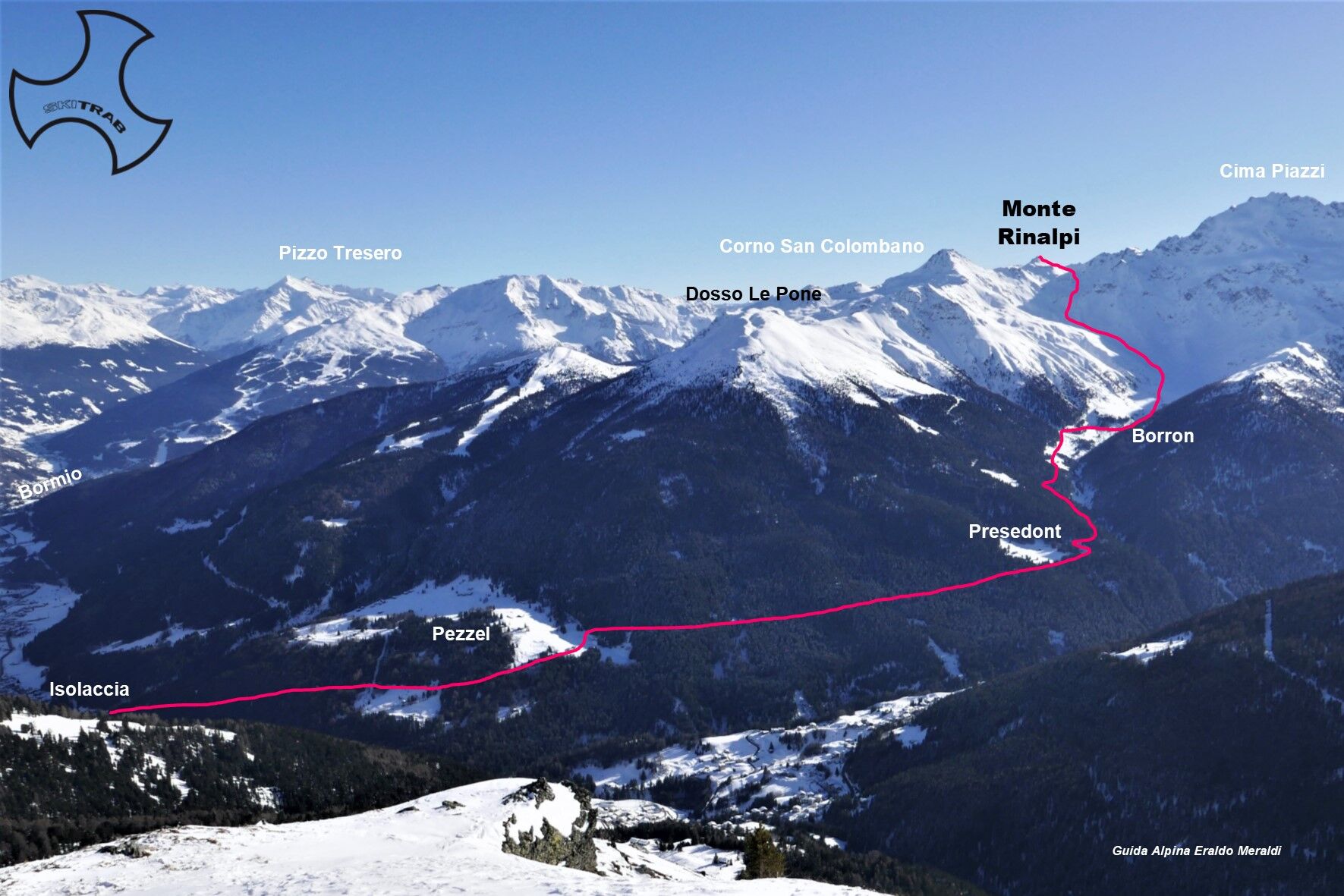
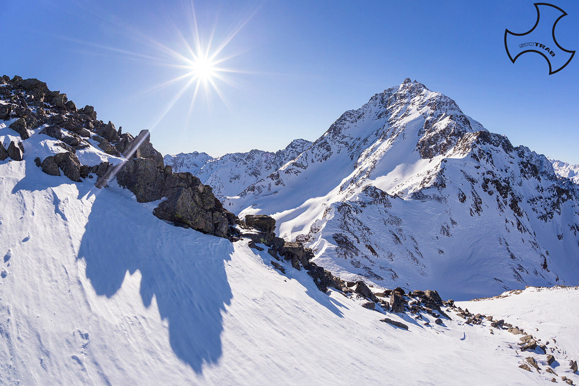
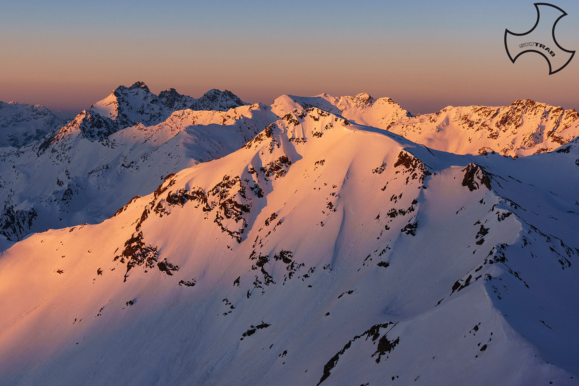
Mount Rinalpi
From the parking lot in Isolaccia, start climbing following the beautiful little road that passes by the Baite di Pezzel huts and leads to the little church of the Madonna di Presedont located at 1750...
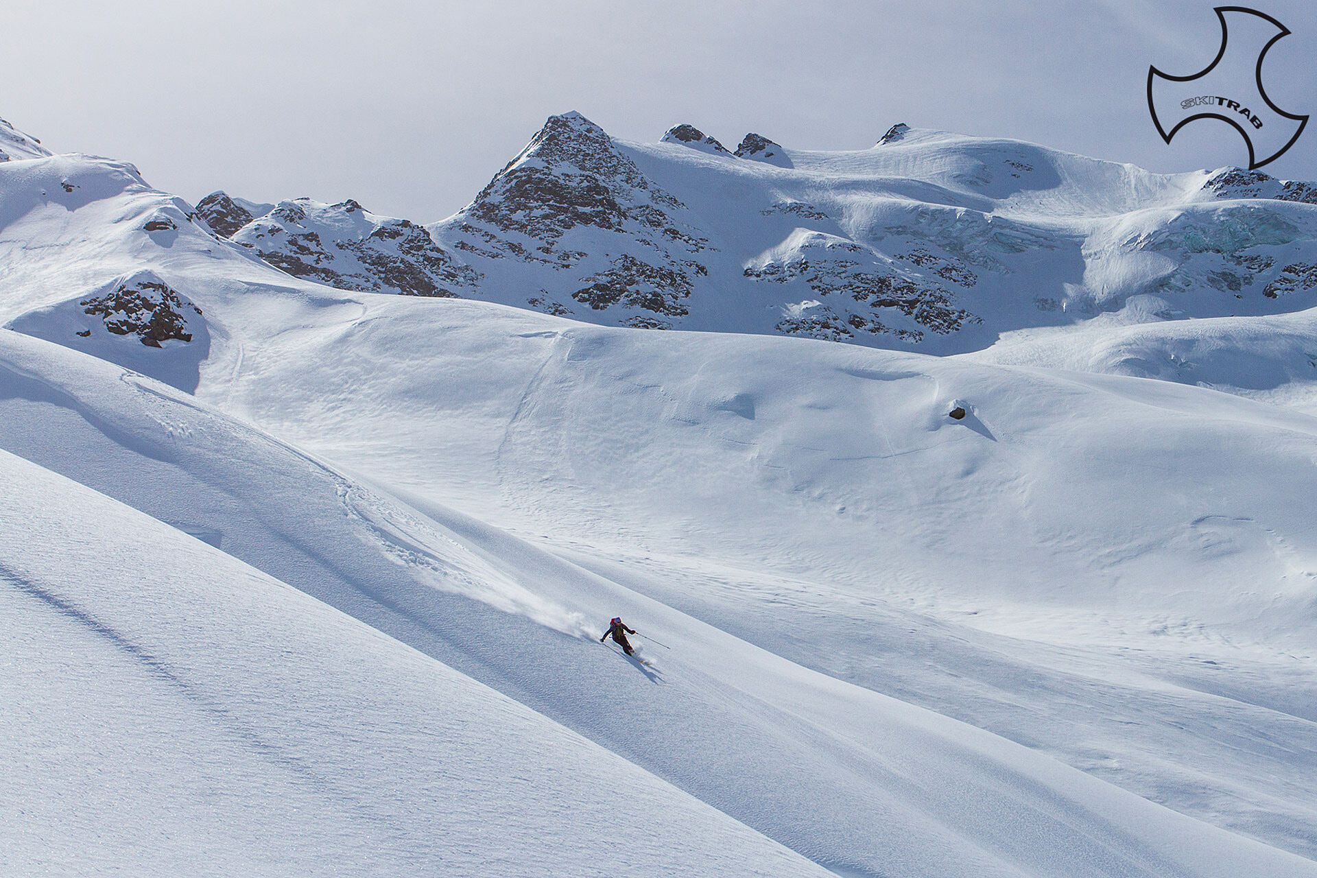
From the parking lot in Isolaccia, start climbing following the beautiful little road that passes by the Baite di Pezzel huts and leads to the little church of the Madonna di Presedont located at 1750 m altitude. Following the signs for the Borron hut, one enters again the beautiful forest of larch and fir trees, and soon after one begins to see the imposing northern slope of the Cima Piazzi. Past the Borron huts you continue halfway up to a vast plateau. It now bends to the left, entering a valley that rises between a moraine edge and the western slopes of the Corno di San Colombano. Centrally overcoming a steep section, you take a very logical and evident route in the vicinity of Rinalpi Pass. You now climb in a northerly direction the last steep section and then bend south again climbing the last few meters leading to the summit.

Forni, Forni Glacier, Punta San Matteo.
Self-rescue equipment (ARTVA, shovel and probe). Rampant.
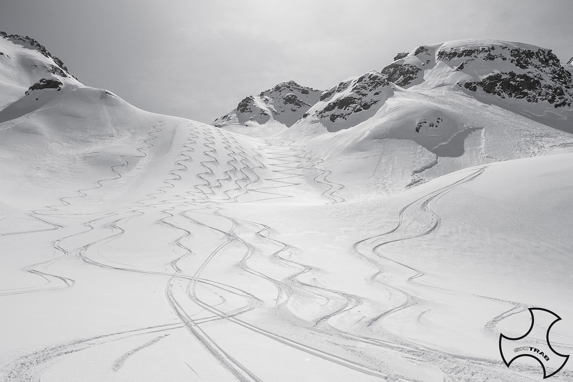
The route description and trail are approximate and should be verified on site depending on the condition of the snowpack present during the hike.
Because this is a hike in a snowy mountain environment at high altitudes subject to continually changing snowpack conditions, it is advisable to have adequate experience in ski mountaineering, knowledge of the area, and up-to-date information on snow conditions.
Accompaniment with a professional guide is recommended.
At the start on the right.
The route description and trail are approximate and should be verified on site depending on the condition of the snowpack present during the hike.
Because this is a hike in a snowy mountain environment at high altitudes subject to continually changing snowpack conditions, it is advisable to have adequate experience in ski mountaineering, knowledge of the area, and up-to-date information on snow conditions.
Accompaniment with a professional guide is recommended.
Priljubljeni izleti v okolici
- 5,0
Mountain hike to Lagh da Saoseo
težkoPohodništvo 15,0 km - 3,4
Sta.Maria, Prà da Vau - Lai da Rims - Alp Sot - Prà da Vau
težkoPohodništvo 14,7 km - 5,0
Crap da la Pare' with Joëlette
svetlobaPohodništvo 4,58 km - 2,0
Military Historical Hiking Trail "Scorluzzo"
srednjaPohodništvo 9,52 km - 5,0
Val Nera Waterfalls
svetlobaPohodništvo 5,70 km - 5,0
444.02: Nationalpark Bike-Tour 2. Etappe
težkoMountainbike 39,6 km Mount of Mines
srednjaSmučarska tura 4,78 kmVal da Camp (724)
srednjaPohodništvo 5,33 kmStelvio Epic Rides: Passo Gavia
težkoCestno kolo 25,8 km- 5,0
Monte Scale Loop
srednjaPohodništvo 7,53 km
Pohodništvo in sledenje


Ne zamudite ponudb in navdiha za naslednje počitnice
Vaš e-poštni naslov je bil dodan na poštni seznam.