







Marian Path of the Eastern Alps - Stage Cepina Grosotto
Stopnja težavnosti: T2


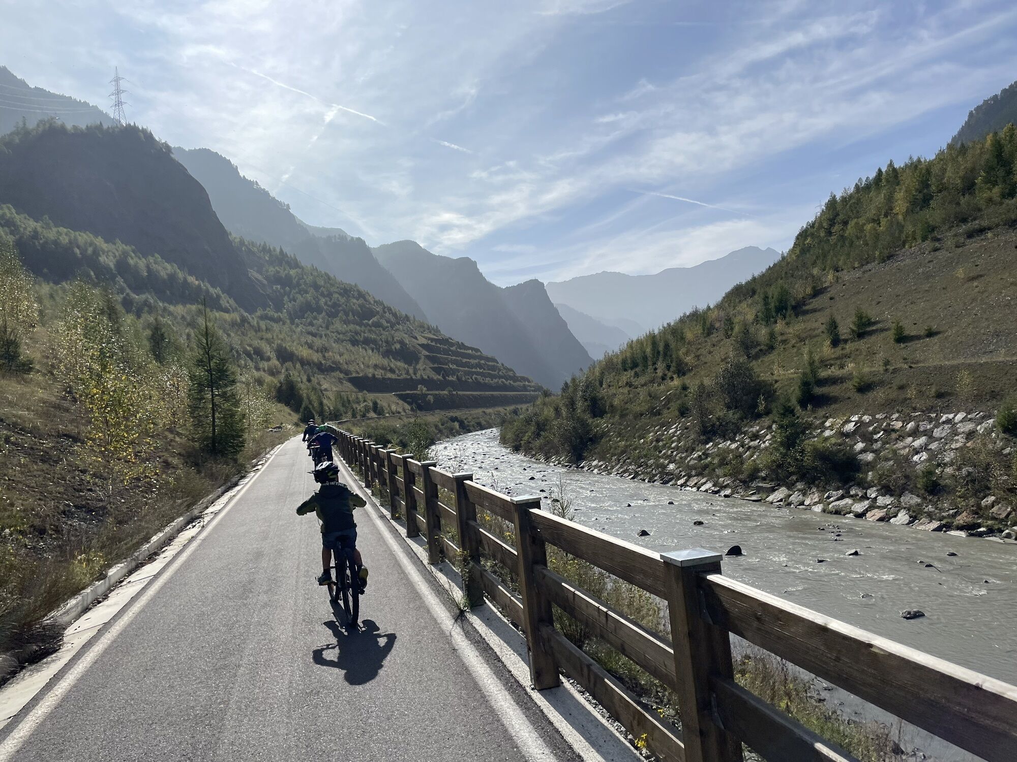
The Marian path continues towards the Serravalle narrows, crossing an area now almost deserted, but marked by the tragic landslide of July 28, 1987: 30 million cubic meters of rock detached from Monte...
The Marian path continues towards the Serravalle narrows, crossing an area now almost deserted, but marked by the tragic landslide of July 28, 1987: 30 million cubic meters of rock detached from Monte Coppetto, causing 28 victims, destroying Sant’Antonio Morignone and raising the valley floor by 50-70 meters. The landslide buried the Carolingian church of San Martino, sparing instead that of San Bartolomeo de Castelàz, which became a symbol of hope.
The path runs alongside the dams built after the landslide to contain the material that blocked the Adda river, forming a temporary lake. At the Serravalle narrows, once a mandatory passage protected by a wall, the landslide also erased the Devil’s bridge.
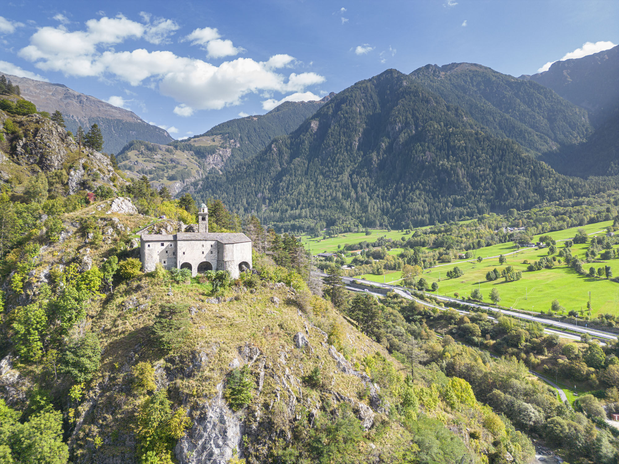
Beyond the area, you cross a wild and fascinating landscape. At Grailé stands the church of Madonna della Biorca, with two wall shrines and connected to historical processions, such as the one in 1739 for bovine plague.
From Mondadizza you reach Sondalo, passing through dosso di Boffalora, inhabited since the Iron Age. Here is the hermitage of Sant’Agnese, from which comes the “Romit”, the oldest wooden crucifix in the province, now in the church of San Francesco.
The parish church of Santa Maria Maggiore, already present in 1025, was rebuilt in the seventeenth century by Gaspare Aprile. Special is the “dressed Madonna,” of which the wooden mannequin remains.
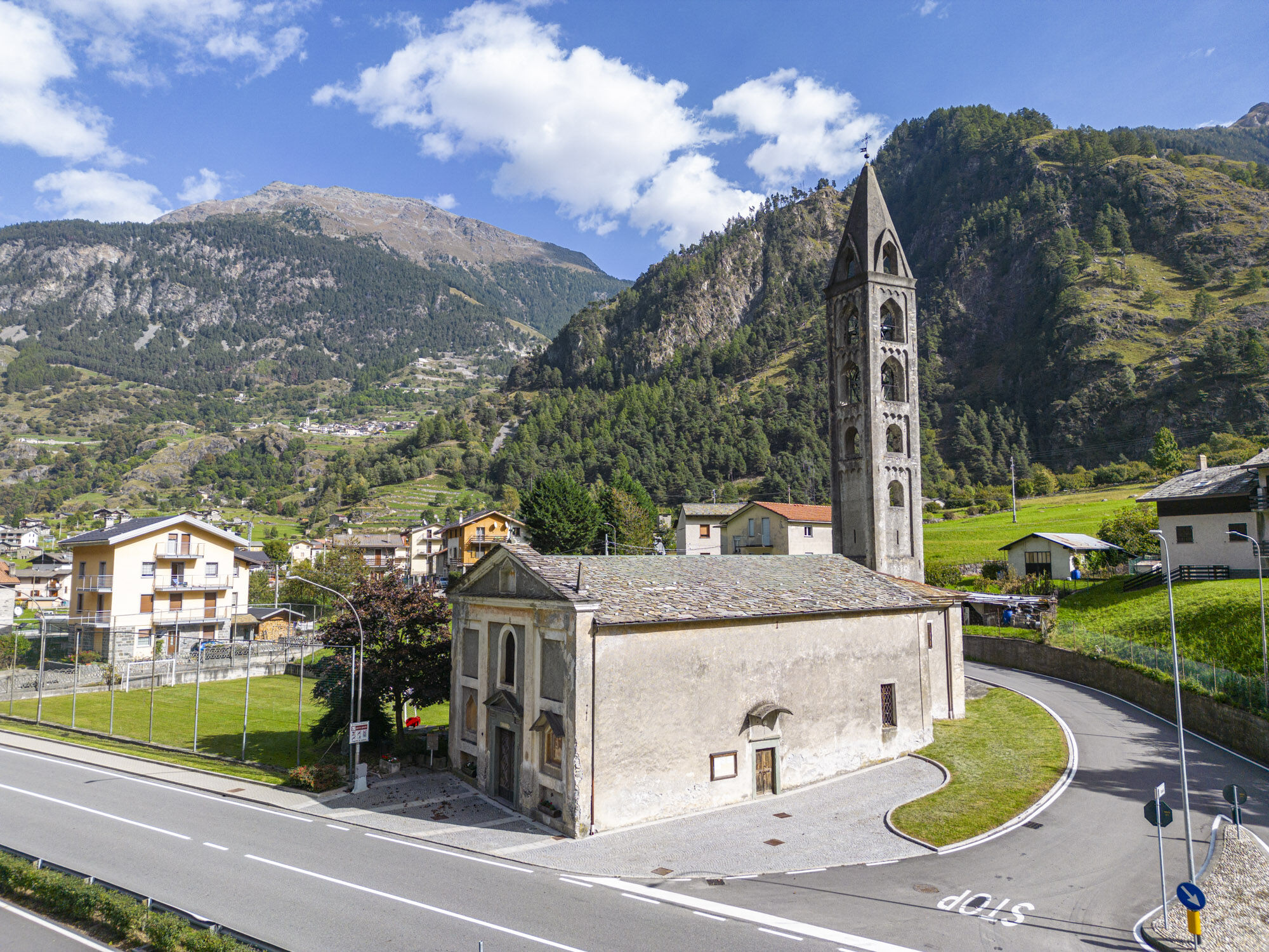
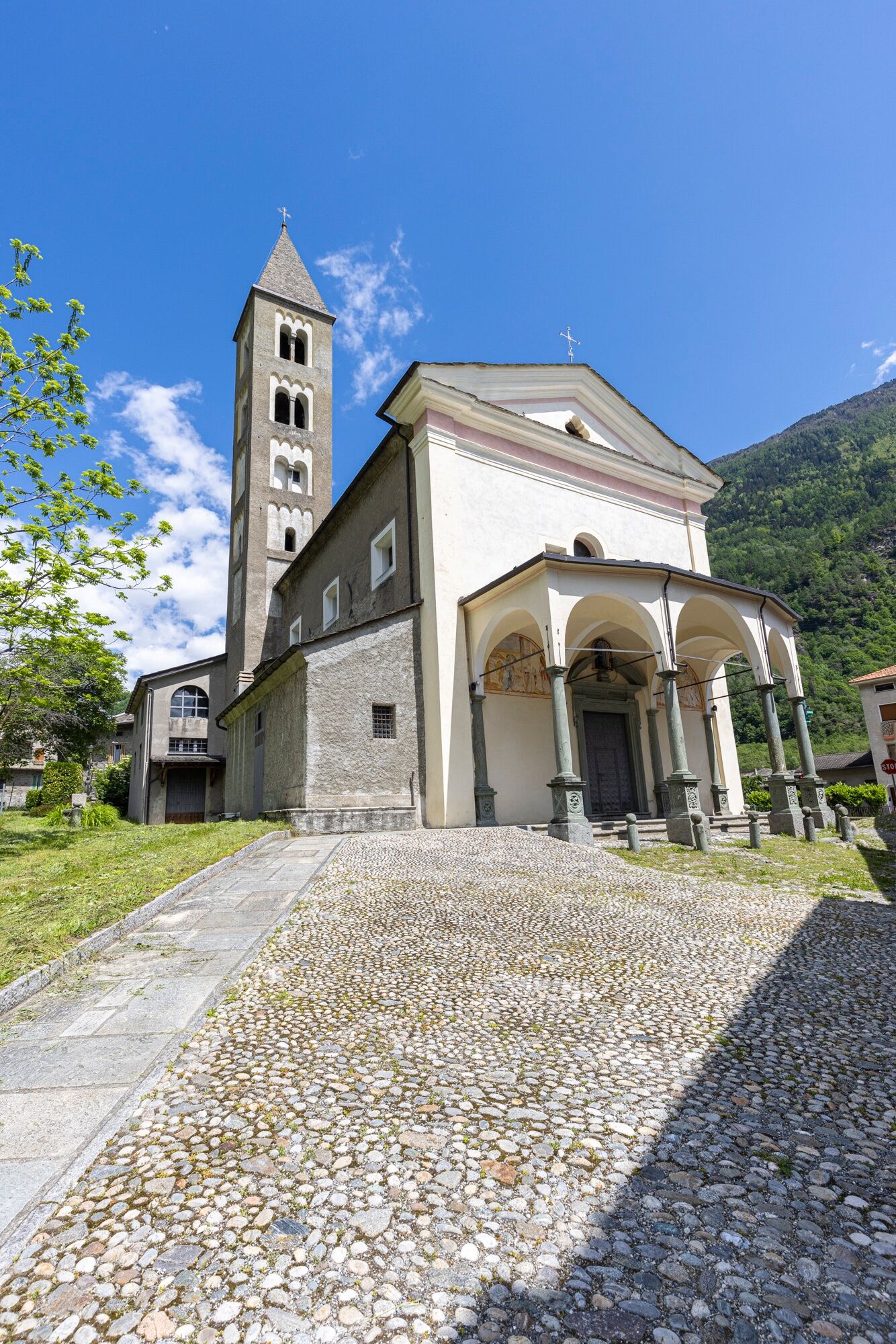
Descending to Tiolo, you visit the church of the Visitation, which in the Middle Ages served travelers headed to the Mortirolo pass. Highlights are the scenic porch, the high altar by Pietro Ramus, and wax anatomical ex-votos.
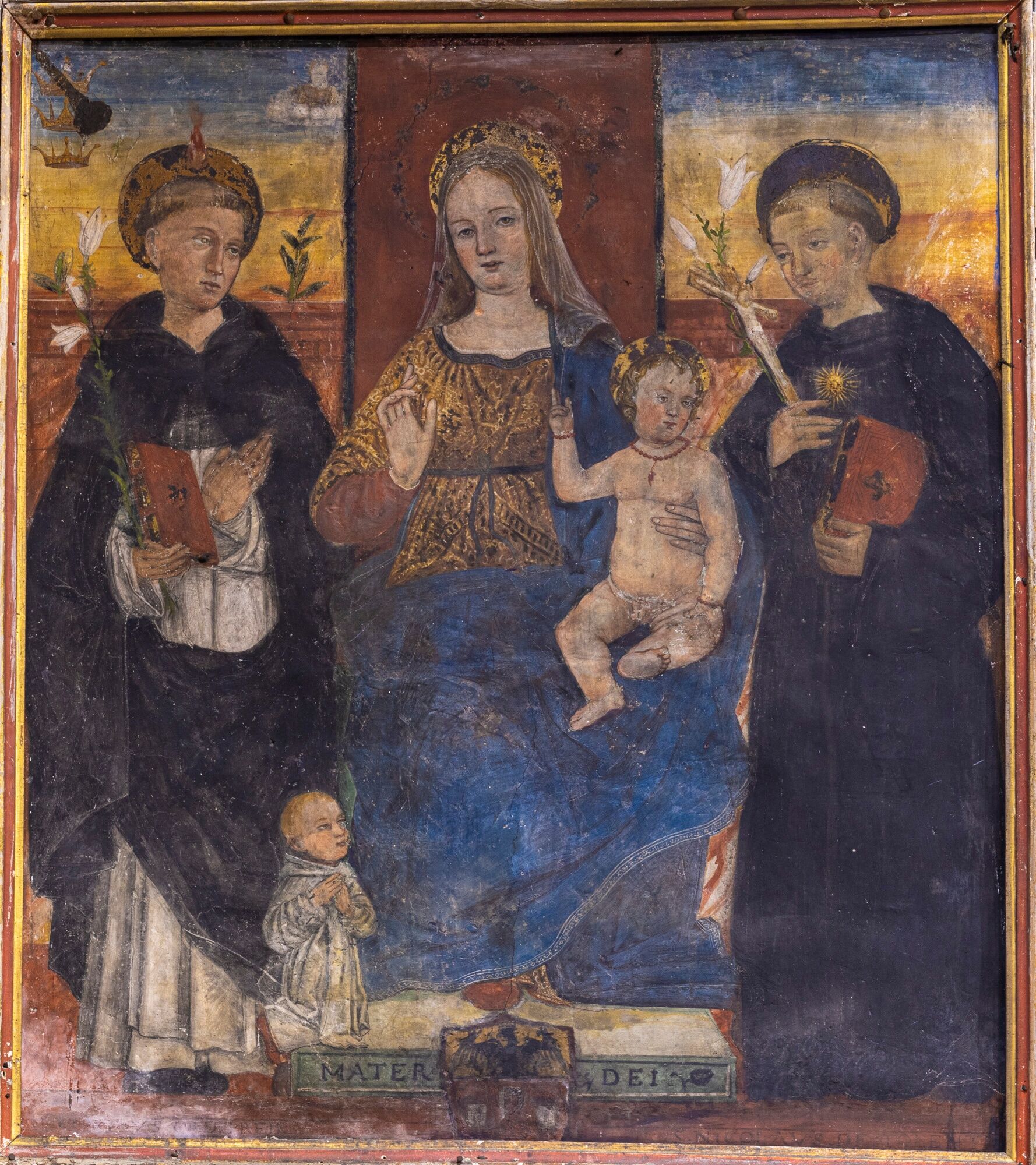
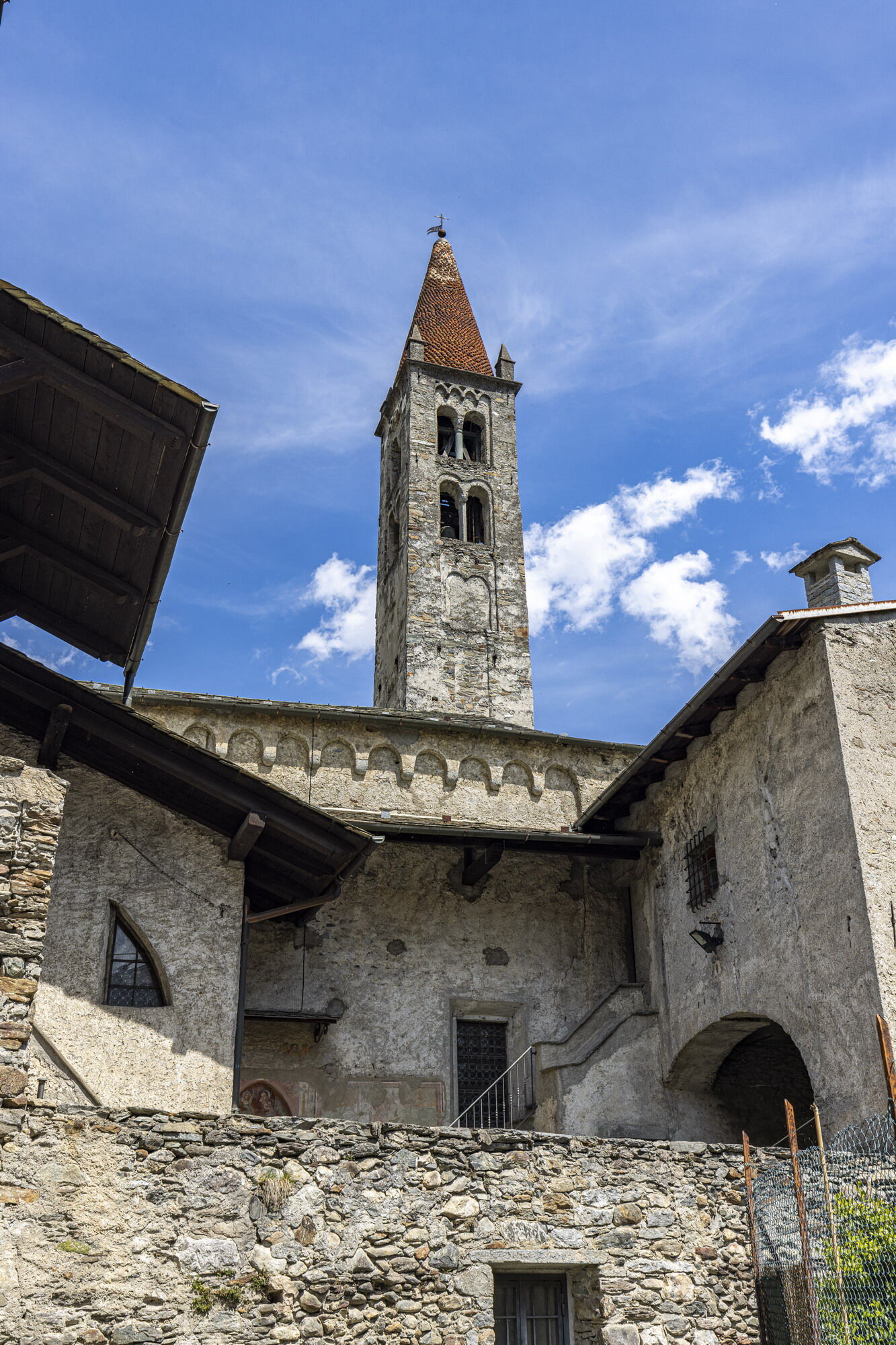
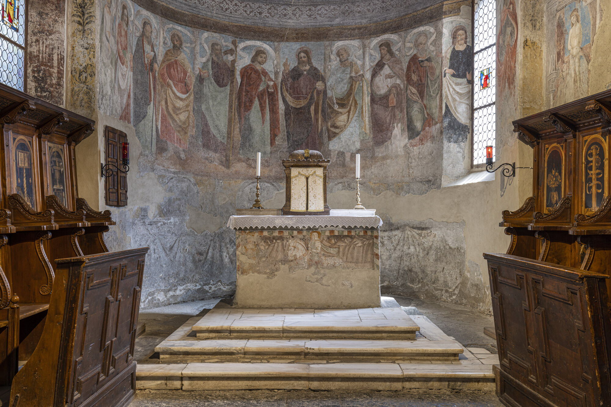
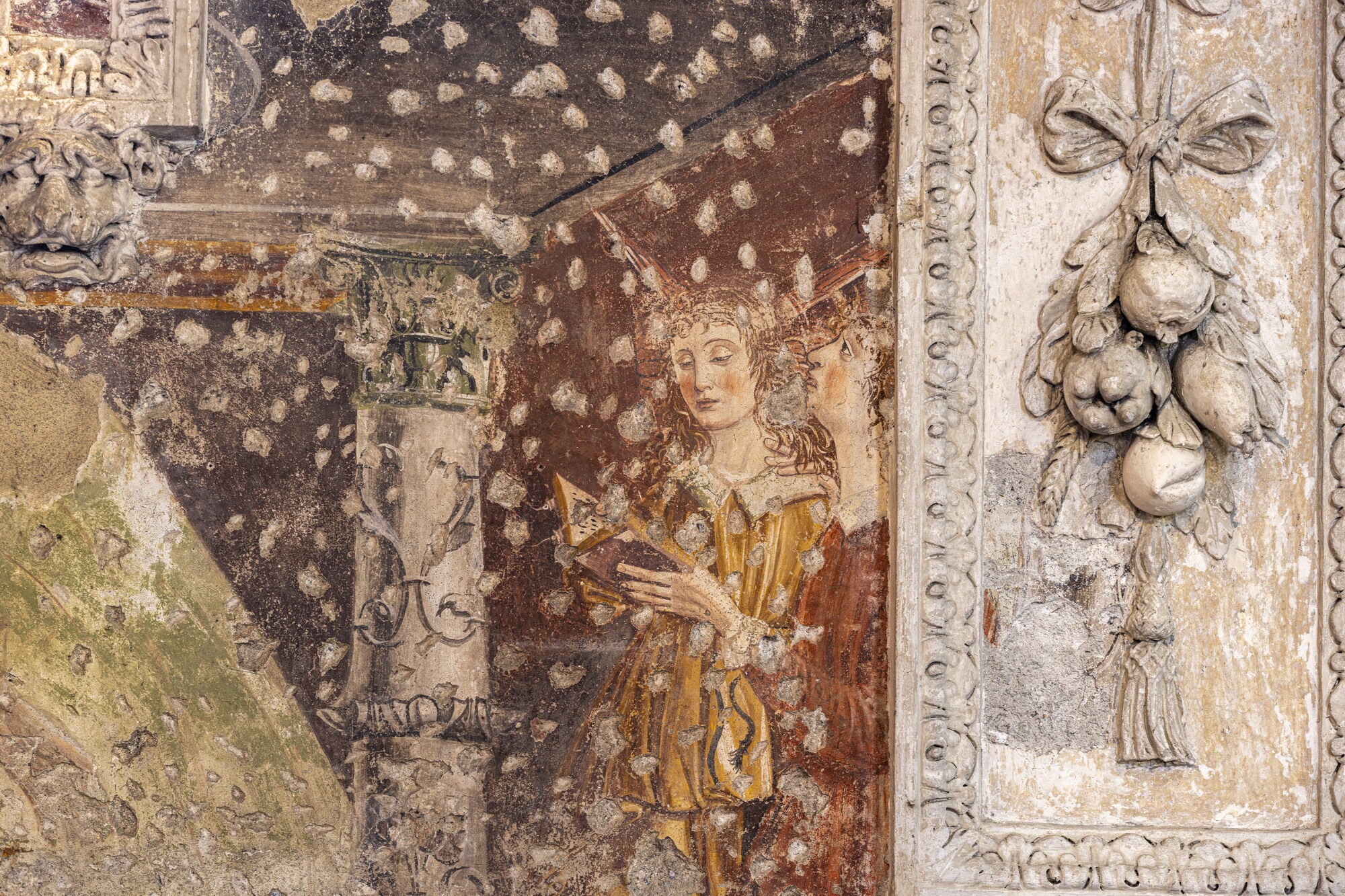
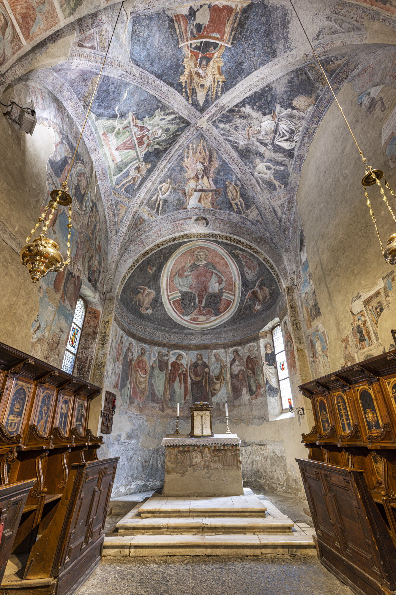
Crossing the Adda, you arrive at Grosio, rich in history. The church of San Giorgio preserves wooden trusses, frescoes and a Marian chapel frescoed in 1498. Nearby, Villa Visconti Venosta houses a museum and library, and the parish church of San Giuseppe is an example of seventeenth-century sacred architecture. The Dosso dei castelli, frequented since Prehistory, preserves the Rupe Magna, the most engraved rock in Europe.
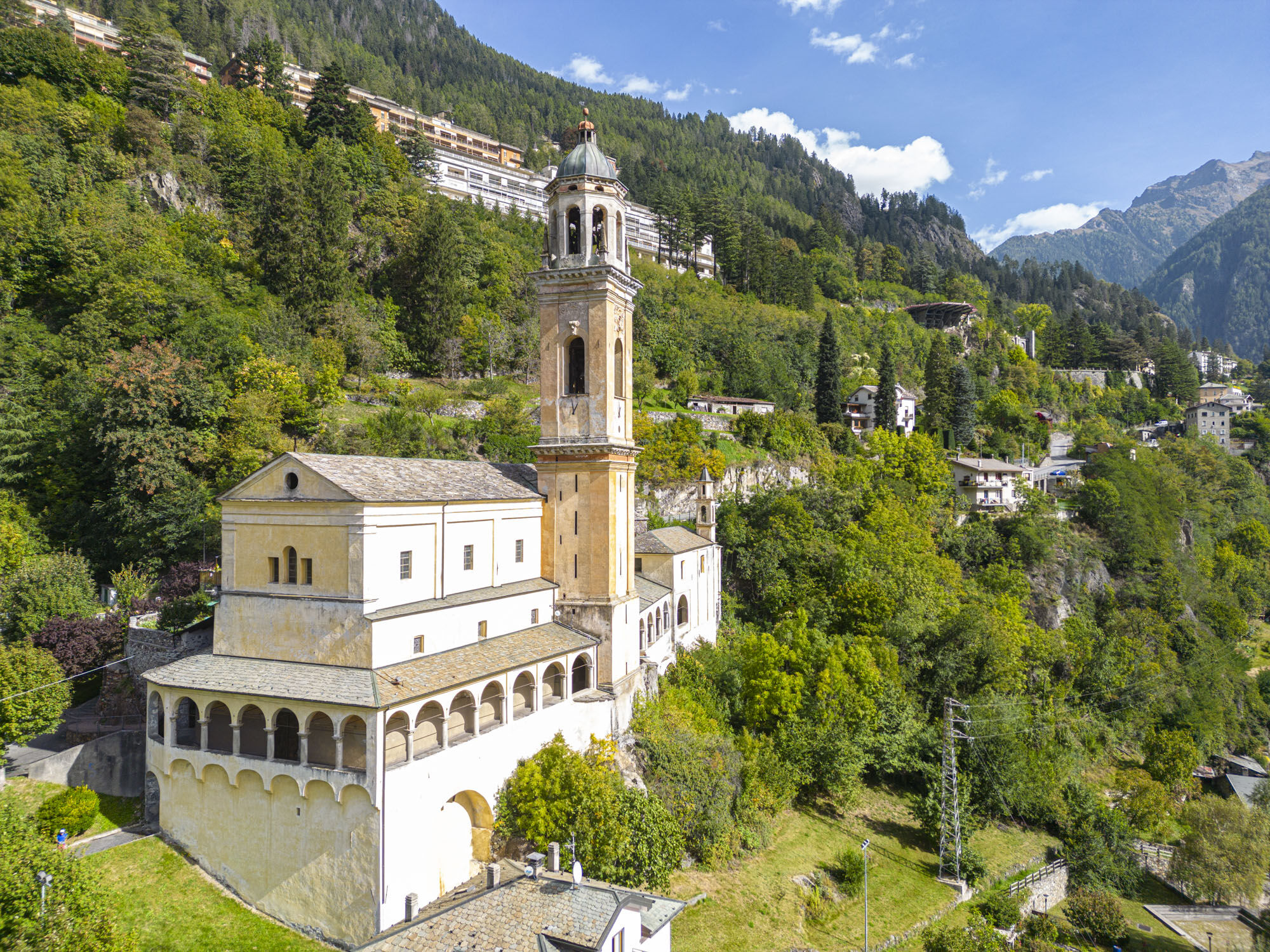
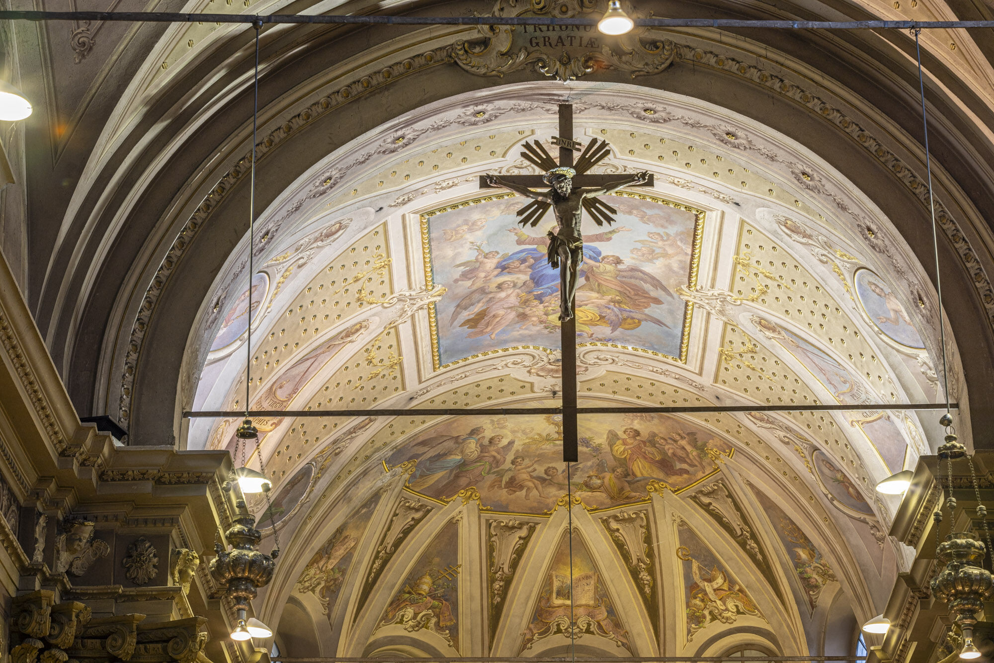
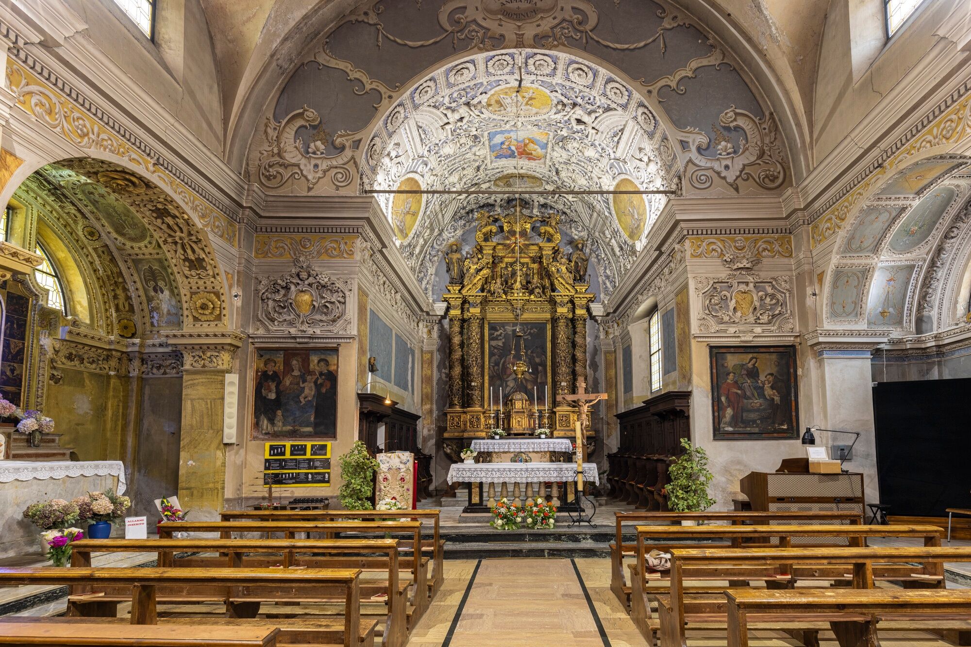
The route ends at the sanctuary of the Blessed Virgin of Graces in Grosotto, built between 1609 and 1664. The statue of the Madonna and Child by Giacomo Del Maino survives. Pietro Ramus’s wooden altarpiece (over 10 meters tall) and the wooden furnishings enrich the interior. The path continues toward the countryside, leaving behind a historic center that still deserves a visit, especially for the parish church of Sant’Eusebio.

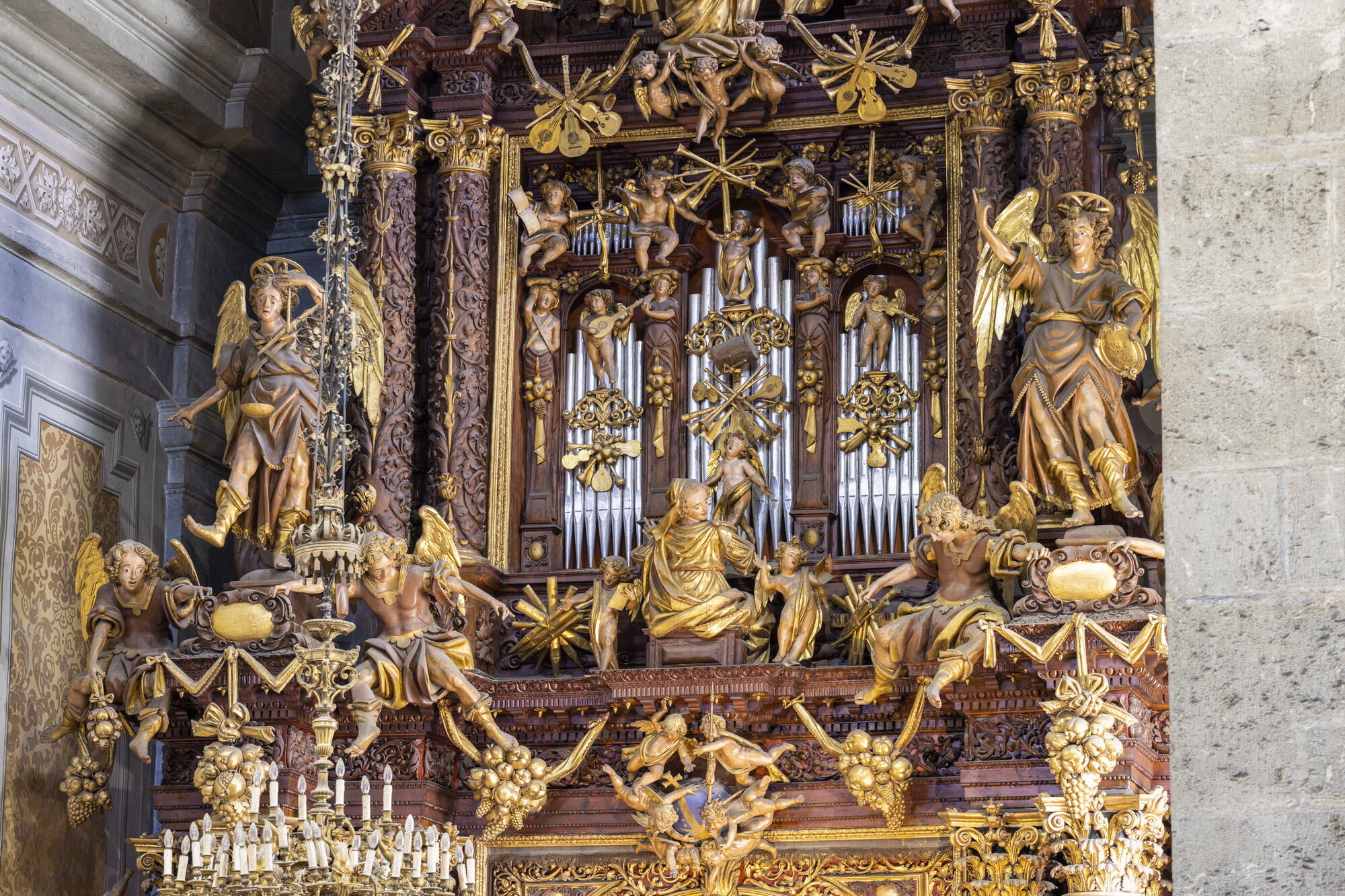
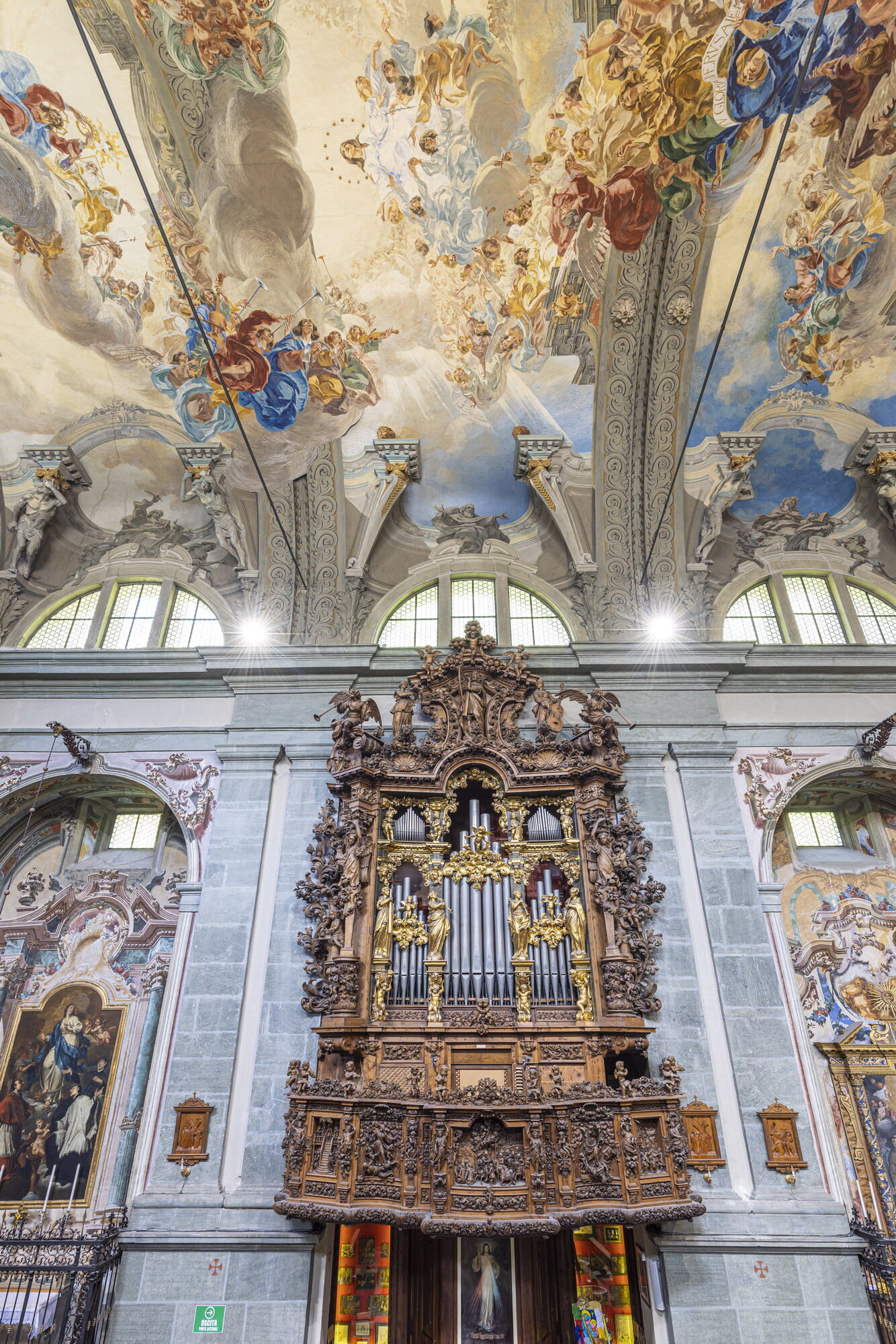
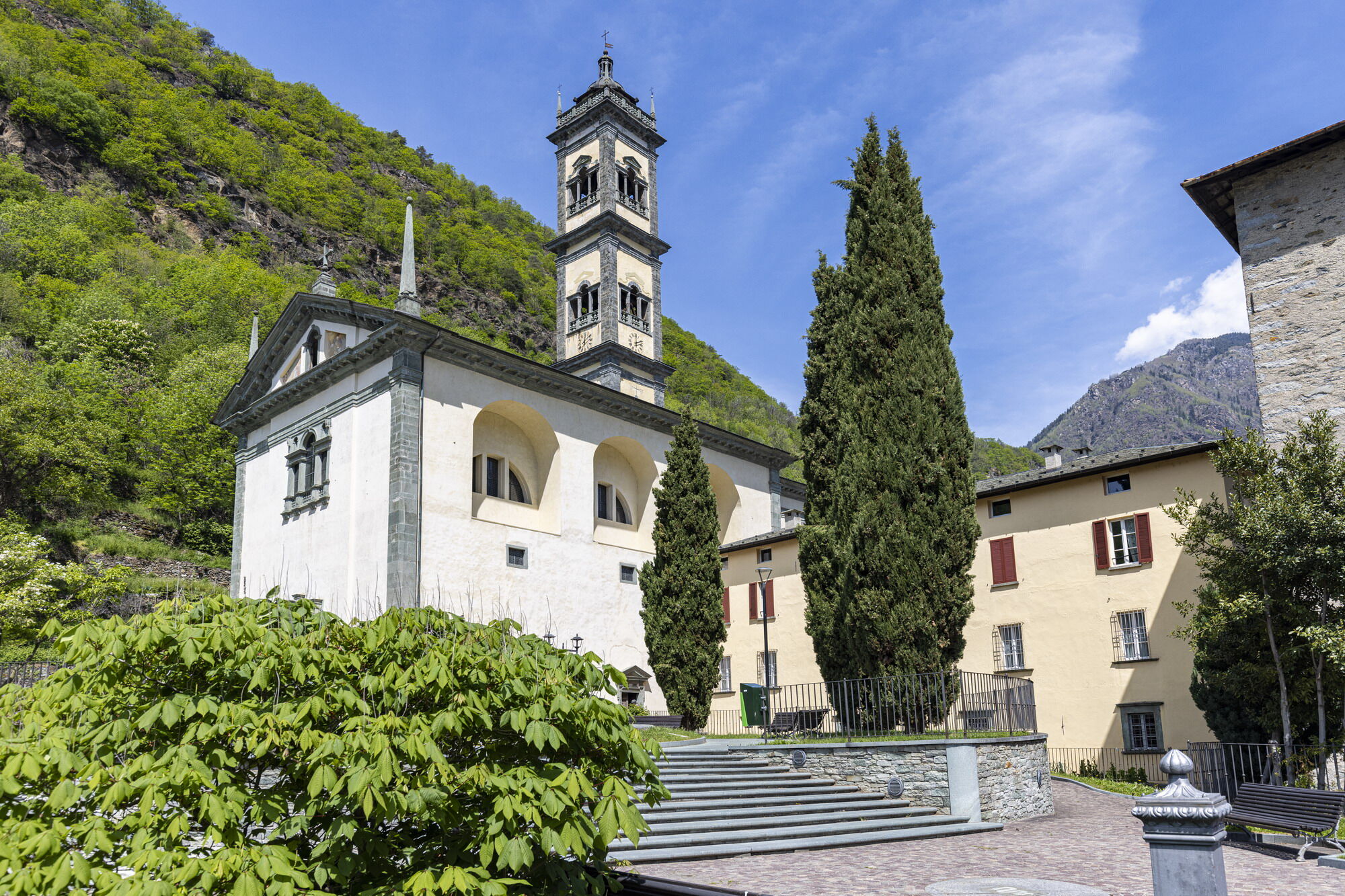

Follow the signs with our unmistakable blue sign.
T2
Spletne kamere s turneje
Pridobite vpogled
Vedno v živo na mestu z več kot 9.500 spletnimi kamerami. bergfex Kot uporabnik Pro si lahko zdaj ogledate ustrezne spletne kamere za številne izlete v aplikaciji izleti iz. Tako si lahko neposredno ogledate trenutne razmere.
Priljubljeni izleti v okolici
-
3.0
Transalp: St. Anton/ Arlberg nach Riva
težkoMountainbike 277.3 km -
Stelvio Epic Rides: Passo Gavia
težkoCestno kolo 25.8 km -
4.0
Adamello - Val Grande - Biwak
srednjaE-MTB 22.8 km -
St. Columba Horn
srednjaSmučarska tura 8.20 km -
Cima Piazzi - Val Lia
srednjaSmučarska tura 11.1 km -
5.0
The Valle delle Messi
srednjaPohodništvo 9.54 km -
5.0
Valgrosina Trail 12k
srednjaTrailrunning 11.7 km -
Sunny Valley - Monte Sobretta
svetlobaPohodništvo 4.81 km -
Mount Sobretta North
srednjaSmučarska tura 9.28 km -
View of Eita and the Lago delle Acque Sparse
srednjaPohodništvo 7.53 km
Pohodništvo in sledenje


Ne zamudite ponudb in navdiha za naslednje počitnice
Vaš e-poštni naslov je bil dodan na poštni seznam.





