


Val Zebru
Fotografije naših uporabnikov
 © Gabriele RavasiUstvarjeno na 31.08.2025
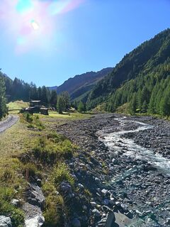 © Gabriele RavasiUstvarjeno na 31.08.2025
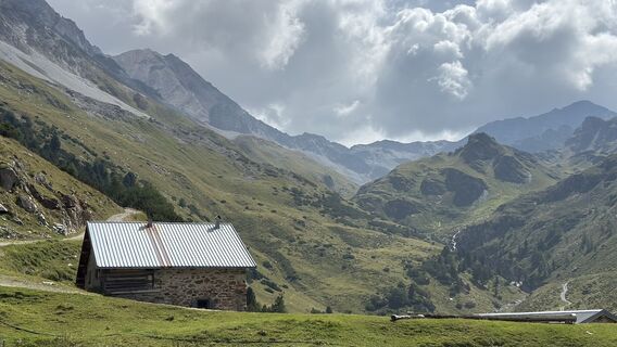
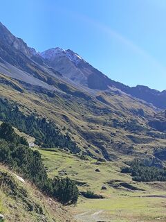
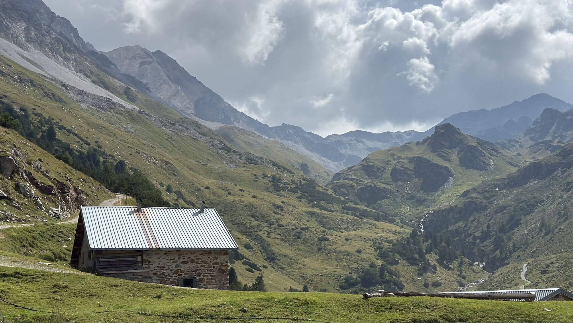
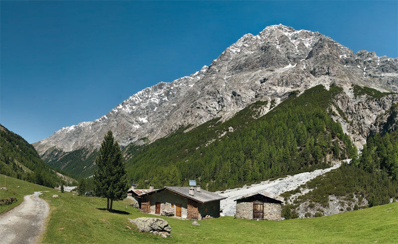
 © Claudio GarzettiUstvarjeno na 19.08.2025
 © Claudio GarzettiUstvarjeno na 19.08.2025
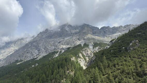 © Claudio GarzettiUstvarjeno na 19.08.2025
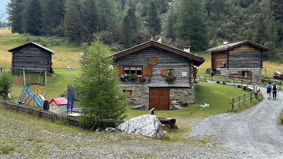 © Claudio GarzettiUstvarjeno na 19.08.2025
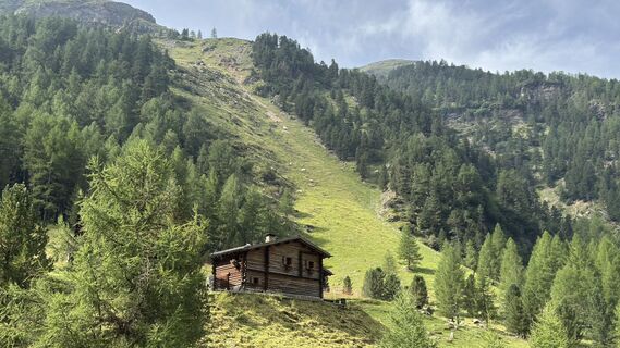 © Claudio GarzettiUstvarjeno na 19.08.2025
 © Claudio GarzettiUstvarjeno na 19.08.2025
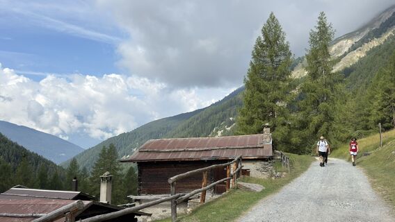 © Claudio GarzettiUstvarjeno na 19.08.2025
 © Claudio GarzettiUstvarjeno na 19.08.2025
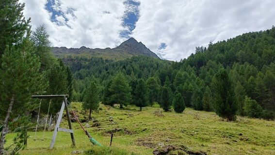
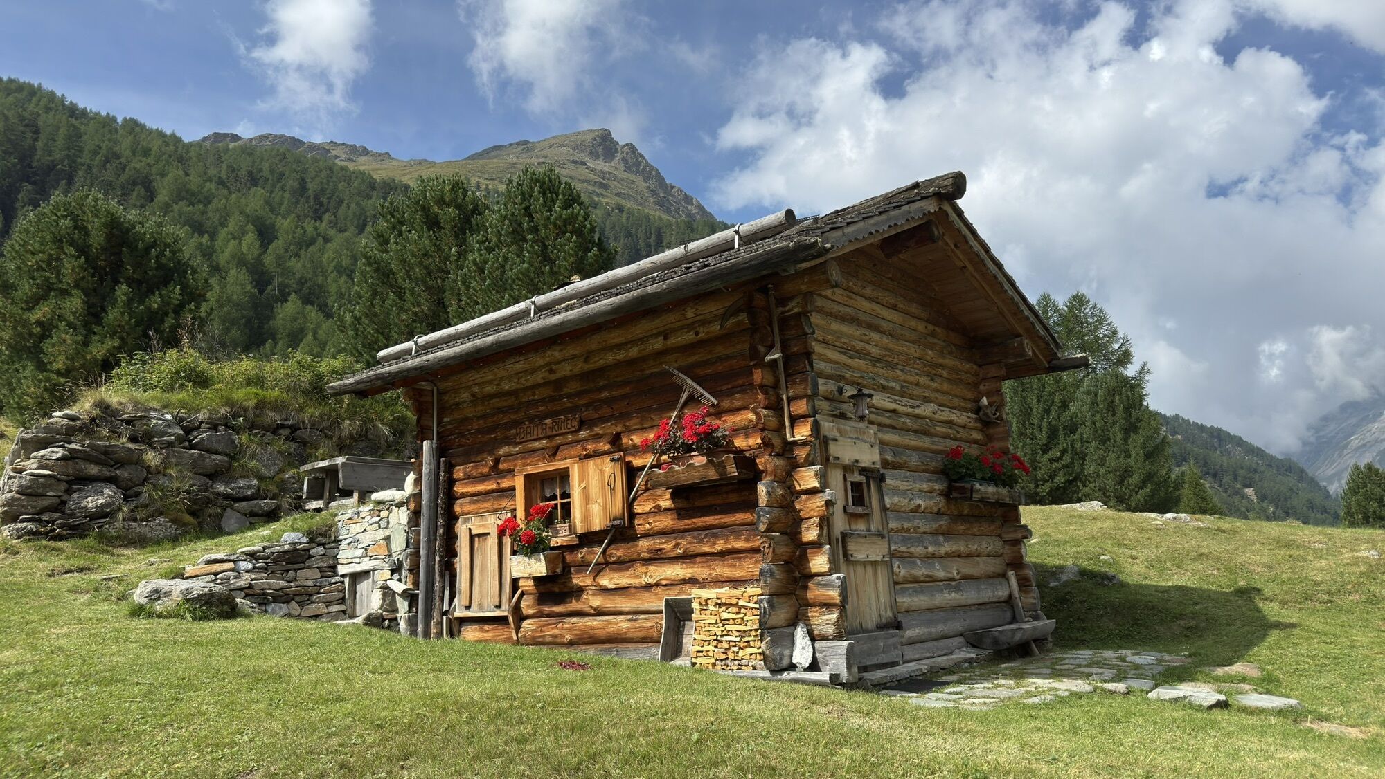
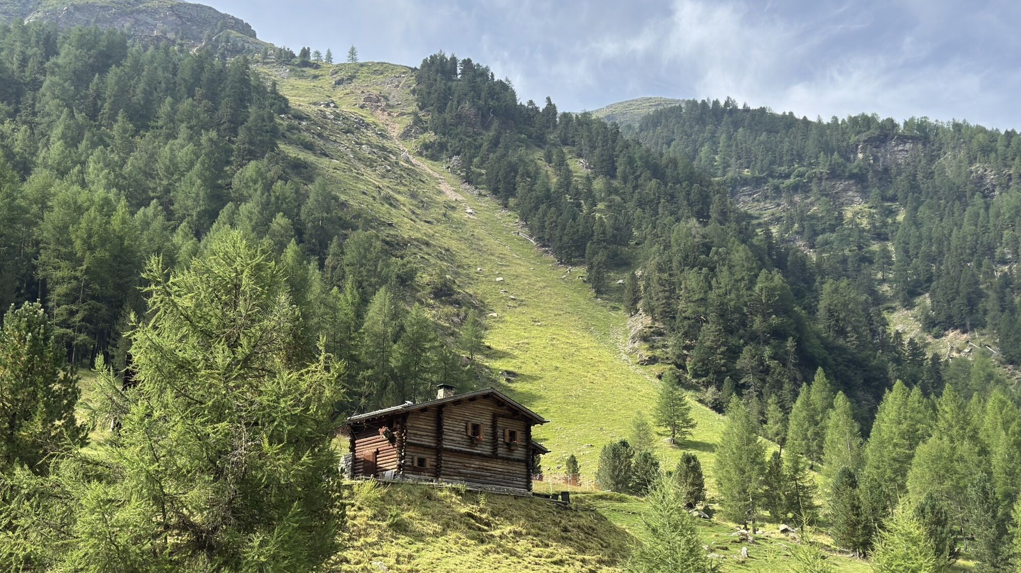
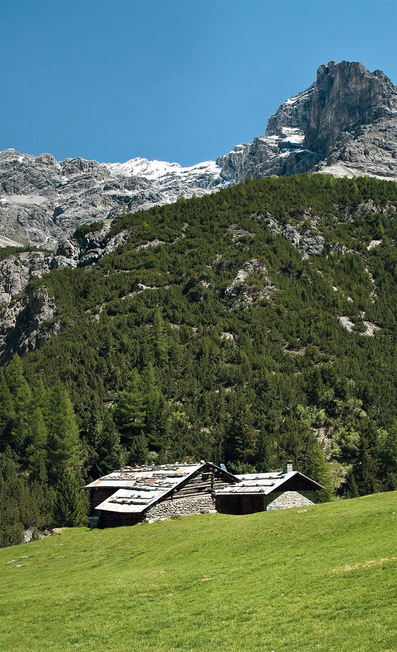
 © Maurizio Dell'acquaUstvarjeno na 05.08.2025
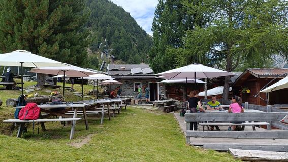 © Maurizio Dell'acquaUstvarjeno na 05.08.2025
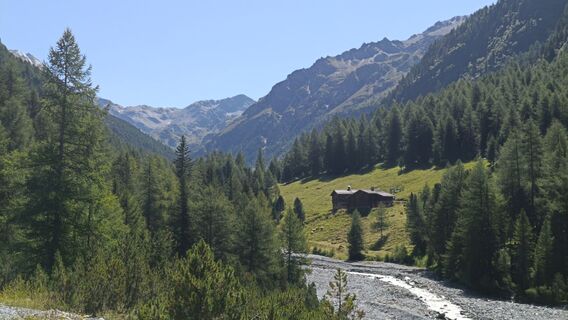 © Maurizio Dell'acquaUstvarjeno na 05.08.2025
 © Maurizio Dell'acquaUstvarjeno na 05.08.2025
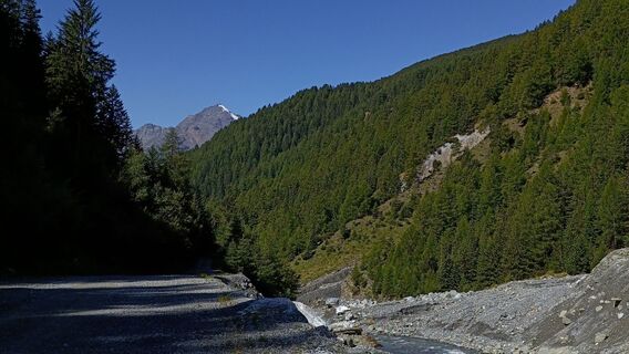 © Maurizio Dell'acquaUstvarjeno na 05.08.2025
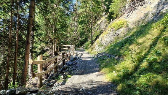 © Maurizio Dell'acquaUstvarjeno na 05.08.2025
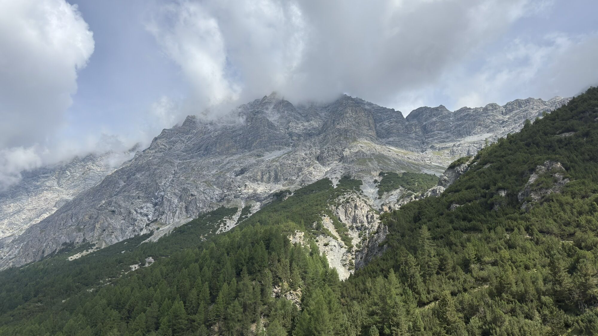
 © Ros 1Ustvarjeno na 18.07.2024


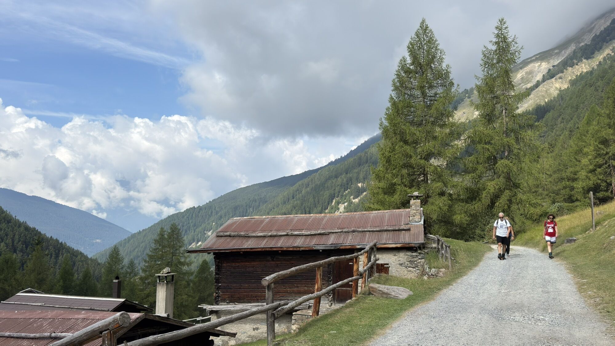
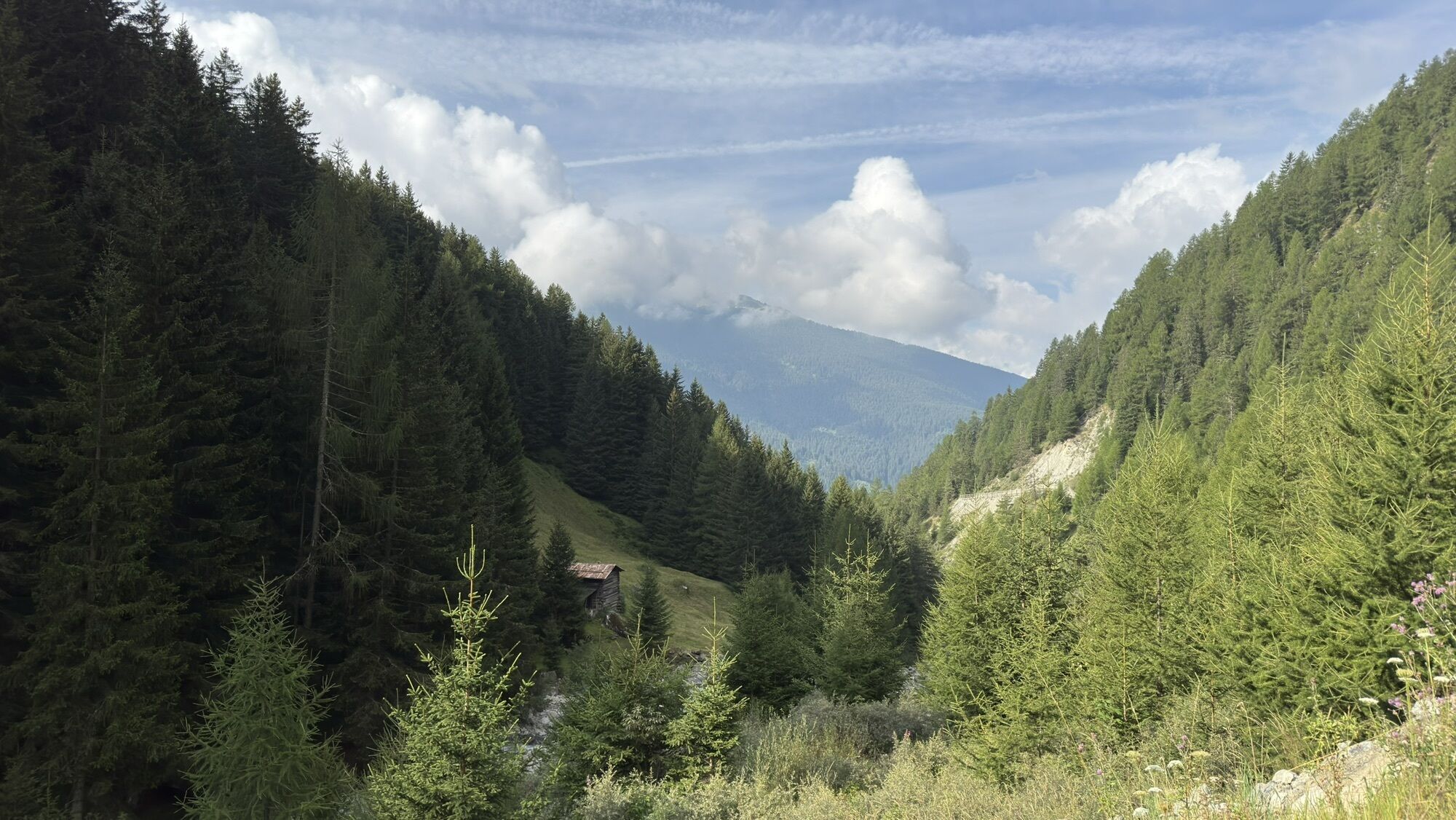

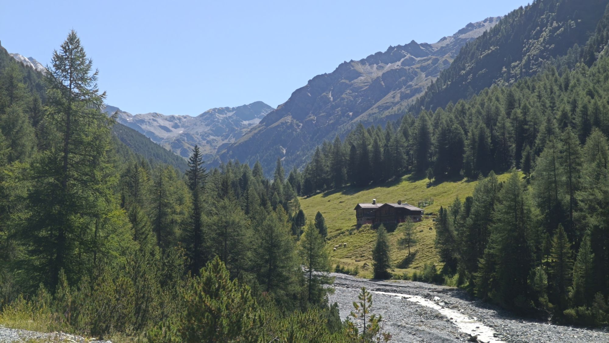
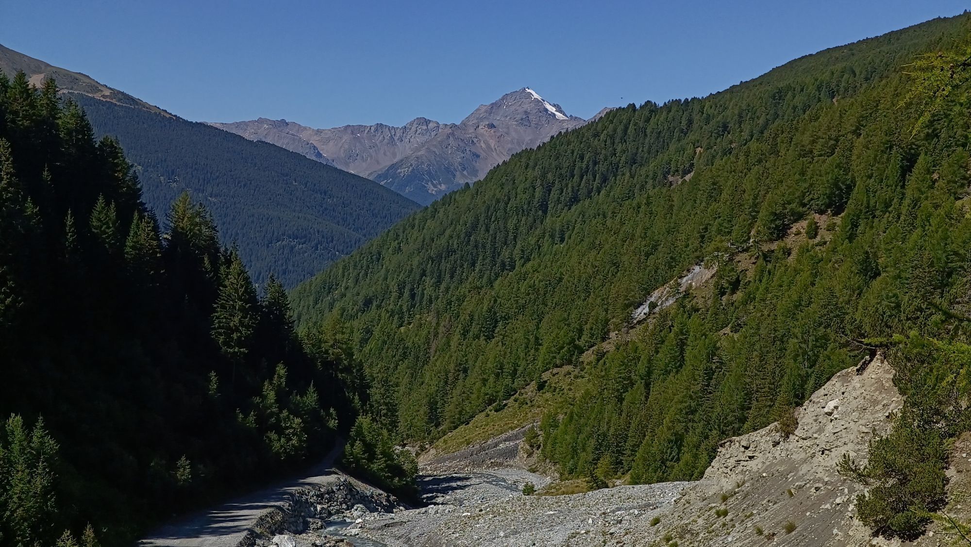


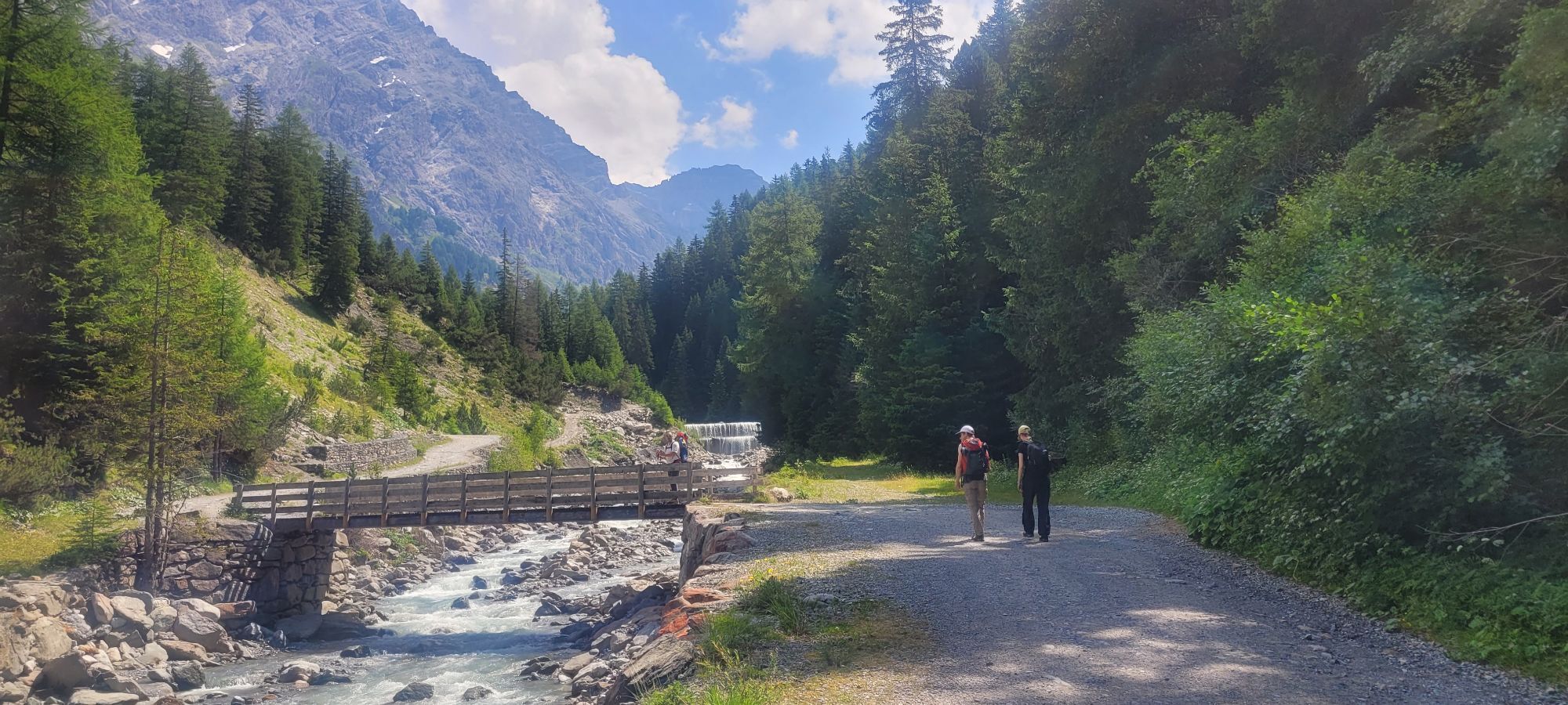
You start riding from the car park in Niblogo 1600 m sign Way n. 529 on a nice and flat dirt road. You get to the Ponte delle Tre Croci quite soon and you climb uphill the length of the valley by proceeding...
You start riding from the car park in Niblogo 1600 m sign Way n. 529 on a nice and flat dirt road. You get to the Ponte delle Tre Croci quite soon and you climb uphill the length of the valley by proceeding to the left and passing past the maggenghi in Zebru' di Fuori and Zebru' di Dentro 1860 m. We keep on riding and meet Chitomas and Pramighen mountain huts and further the Rifugio Campo. Then we continue on a more challenging uphill stretch and get to our final destination: the Baita del Pastore 2160 m.. We make our way back on the same road and with peace of mind.
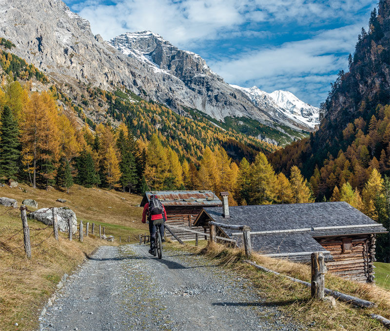
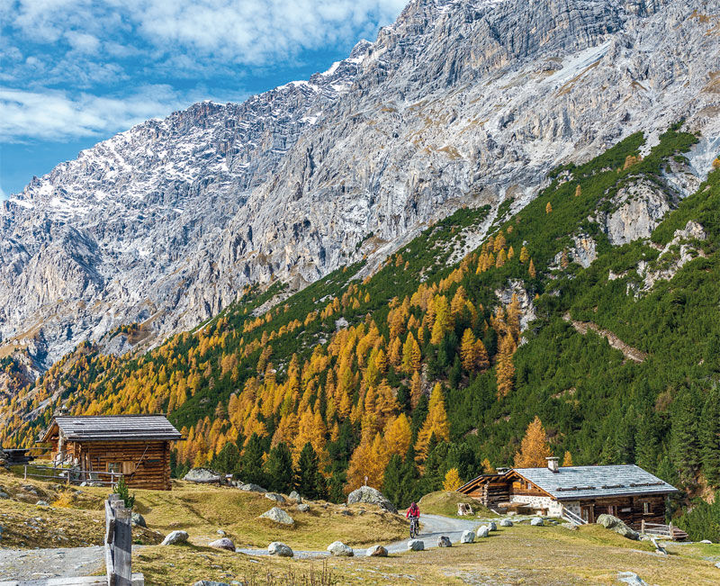

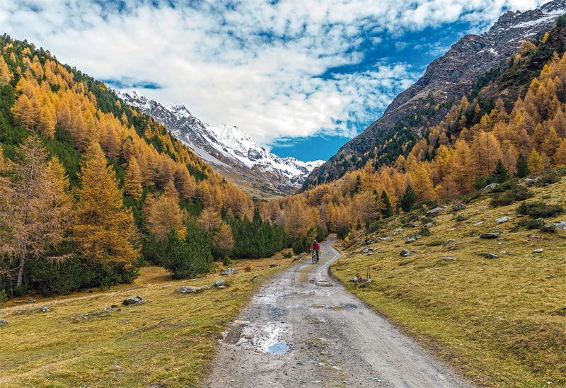
Parking Niblogo Madonna dei Monti in Valfurva - Ponte Tre Croci - Val Zebru' - Zebru' di Dentro - Rifugio Campo - Baita del Pastore - Parking Niblogo
Niblogo Parking

Priljubljeni izleti v okolici
- 3.7
Payerhütte 3020m
Pohodništvo 6.98 km - 3.7
Düsseldorfer Hütte 2721m
srednjaPohodništvo 4.14 km - 3.7
Von Sulden zur Hinteren Schöntaufspitze
srednjaPohodništvo 12.7 km - 4.3
Sonnenaufgang auf der Rötelspitze im Nationalpark Stilfserjoch
Pohodništvo 2.02 km - 4.5
Obervinschgau - Madritschjoch, der höchste Transalp Übergang
Mountainbike 9.54 km Wanderung/Aufstieg zur Payerhütte
svetlobaPohodništvo 15.9 km- 3.4
Sta.Maria, Prà da Vau - Lai da Rims - Alp Sot - Prà da Vau
težkoPohodništvo 14.7 km - 4.0
Tschengelser Hochwand Stelvio, Trentino-Alto Adige
srednjaVia ferrata 14.3 km - 5.0
Pistenskitour zum Madritschjoch (3.123m)
svetlobaSmučarska tura 16.6 km - 3.0
Wanderung zum Hinteren Schöneck
svetlobaPohodništvo 13.2 km

Pohodništvo in sledenje


Ne zamudite ponudb in navdiha za naslednje počitnice
Vaš e-poštni naslov je bil dodan na poštni seznam.