


Bormio 2000 Calvarana
Fotografije naših uporabnikov
road n. 543 1943 m towards east, you cross the ski runs and go into the wood quite soon riding gently uphill. After going past Baita Pozzo dell'Acqua 2070 m you meet a first diversion to the right going...
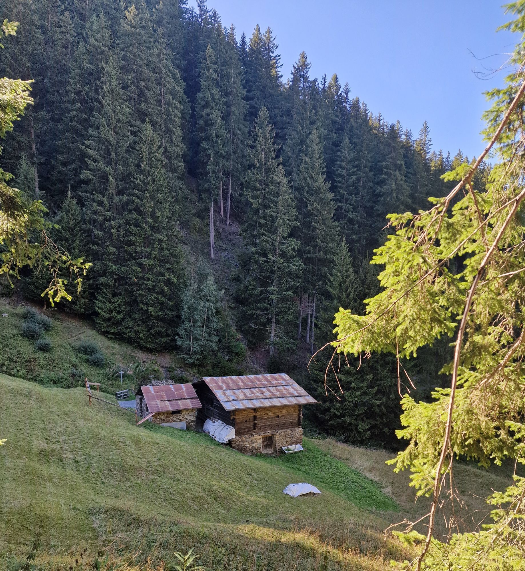
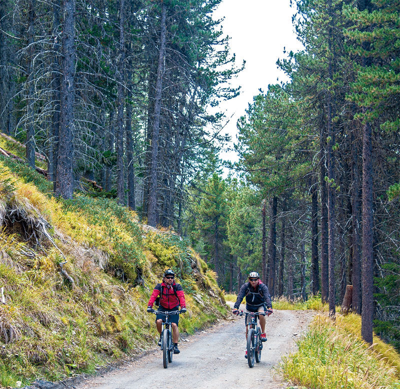
road n. 543 1943 m towards east, you cross the ski runs and go into the wood quite soon riding gently uphill. After going past Baita Pozzo dell'Acqua 2070 m you meet a first diversion to the right going up to the Monte Sobrettina. We instead begin the descent to the left on the track n. 543.2, we leave the road to Val Sobretta sign Way n.518 on our right and get to the crossroads at 1740 meters' height riding on some steep switchbacks. It is also possible to go down directly to the Valfurva from here by proceeding on the Track n. 518, while we turn to the left on the dirt road descending to Calvarana sign Way n. 522. The steep road sign Way n. 550 taking to Sant'Antonio Valfurva begins on the right just before its beautiful mountain huts. If we go straight on, we pass by Plazzo 1510 m and La Poce 1590 m and get to Campolungo 1480 m on an irregular path. From here on we ride quickly downhill to the hamlet of Combo di Bormio.

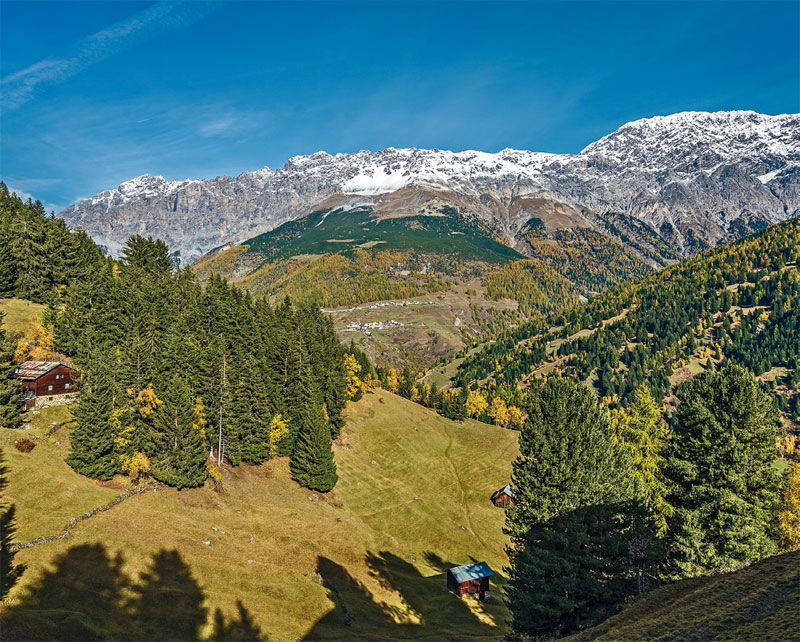
Bormio 2000 _ Baita Pozzo Dell'Acqua _ Monti di Sobretta _ Calvarana _ Plazzo _ La Poce _ Campolungo _ Stazione partenza Funivia Bormio 2000
Spletne kamere s turneje
Cima Bianca
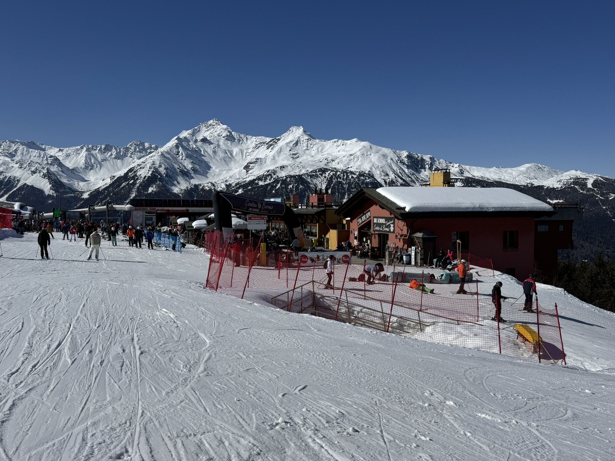
Bormio 2000
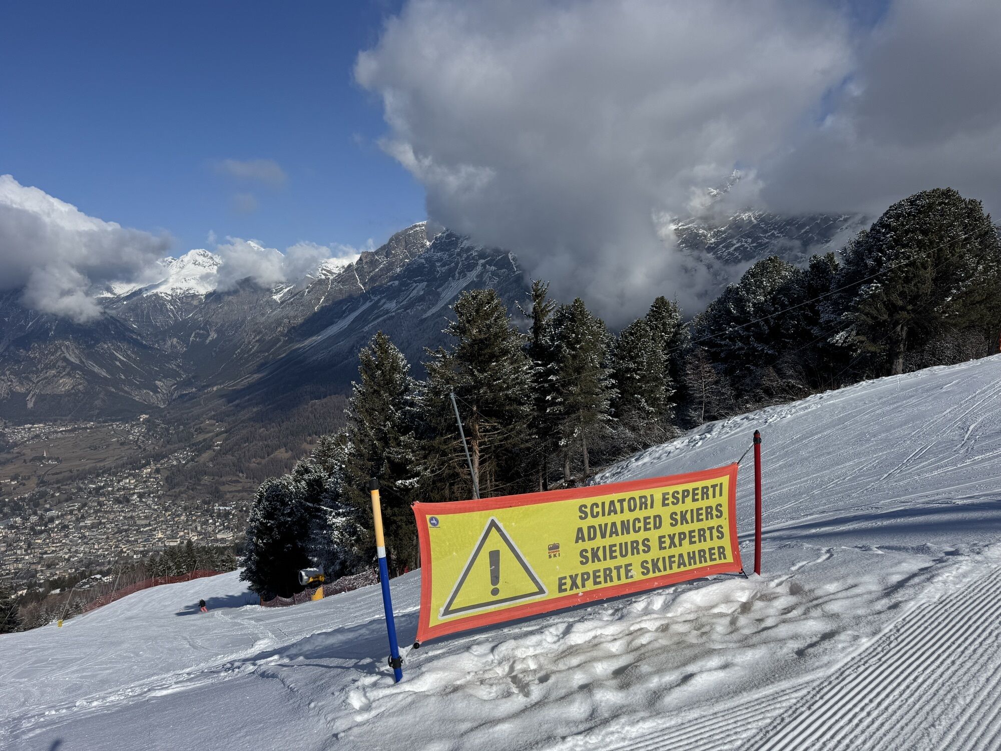
Piste Stelvio
Cima Bianca
Cima Bianca
Cima Bianca
Cima Bianca
Bormio 2000
Bormio 2000
Bormio 2000
Bormio 2000
Bormio 2000
Bormio 2000
Bormio 2000
Cima Bianca
Santa Caterina Valfurva - Sunny Valley
Bormio Terme
Bormio Terme
Bormio Terme
La Rocca
Parterre Pista Stelvio
La Rocca
La Rocca
La Rocca
La Rocca
Parterre Pista Stelvio
Piazza Kuerc
Piazza Kuerc
Piazza Kuerc
Piazza Kuerc
Uzza - Valfurva
Centro Sci Fondo
Centro Sci Fondo
Centro Sci Fondo
Centro Sci Fondo
Centro Sci Fondo
Centro Sci Fondo
Teleir - Oga
Teleir - Oga
Teleir - Oga
Priljubljeni izleti v okolici
- 3.7
Payerhütte 3020m
Pohodništvo 6.98 km - 4.3
Sonnenaufgang auf der Rötelspitze im Nationalpark Stilfserjoch
Pohodništvo 2.02 km Wanderung/Aufstieg zur Payerhütte
svetlobaPohodništvo 15.9 km- 3.4
Sta.Maria, Prà da Vau - Lai da Rims - Alp Sot - Prà da Vau
težkoPohodništvo 14.7 km Hintergrathütte 2661m
Pohodništvo 8.77 km- 1.0
Tabarettahütte 2555m zur Payerhütte 3020m
Pohodništvo 3.82 km - 4.0
Ortler – Normalweg
težkoVisokogorska tura 7.30 km - 5.0
Ortler über Hintergrat
težkoVisokogorska tura 8.03 km - 4.5
Suldenspitze
svetlobaVisokogorska tura 7.69 km - 3.3
Watervallen wandeling
svetlobaPohodništvo 4.95 km

Pohodništvo in sledenje


Ne zamudite ponudb in navdiha za naslednje počitnice
Vaš e-poštni naslov je bil dodan na poštni seznam.