






Cornin Bike Trail
The Cornin Bike Trail starts from Grosotto (620 m). Take the paved road on the Retico slope following signs for Supiane, Dovere, and Alpe Piana.
It is a decidedly challenging climb with an average gradient...
The Cornin Bike Trail starts from Grosotto (620 m). Take the paved road on the Retico slope following signs for Supiane, Dovere, and Alpe Piana.
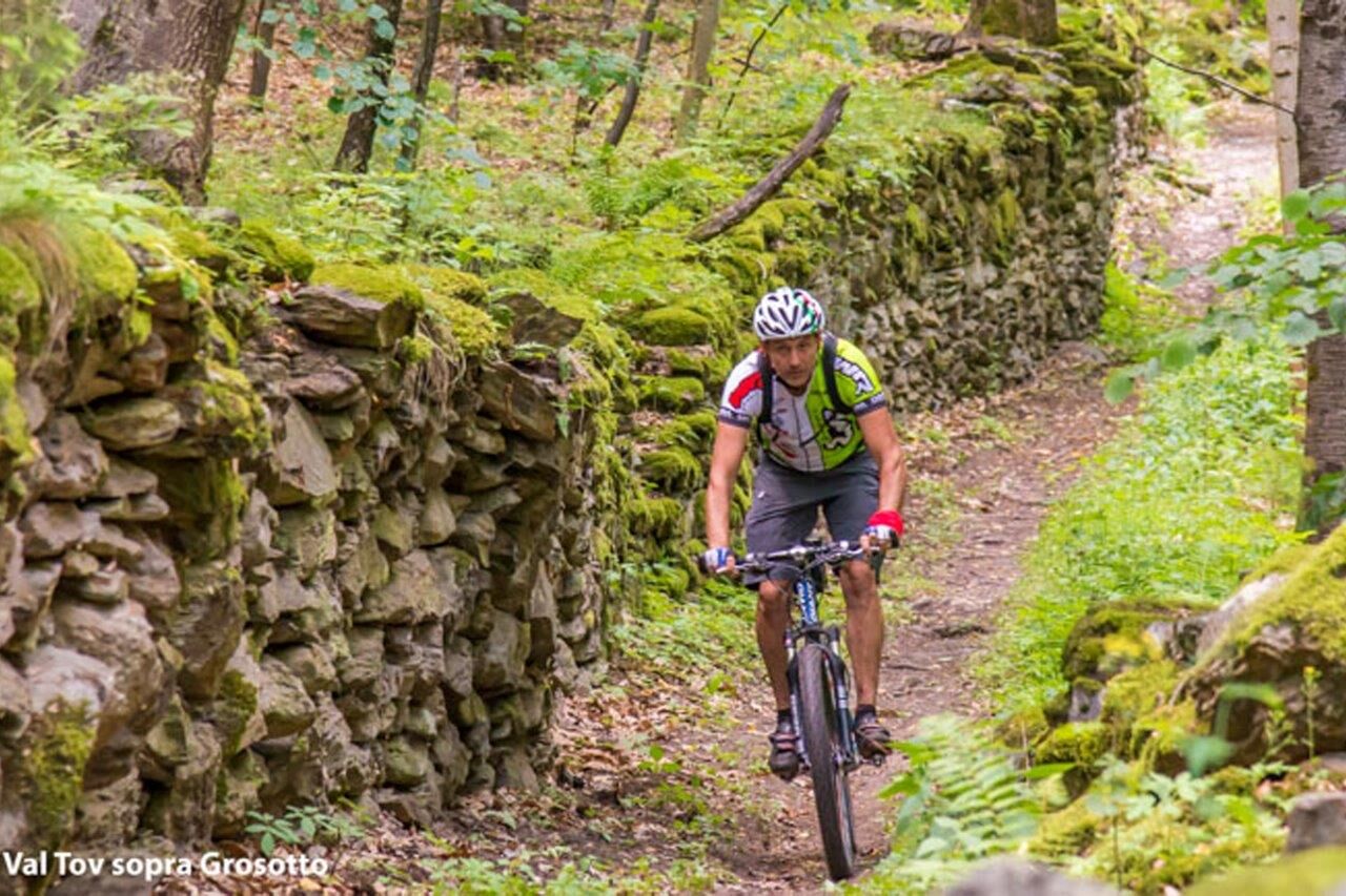
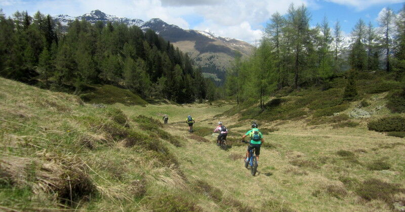
It is a decidedly challenging climb with an average gradient of 9%. There are alternating short flat sections and stretches that often exceed 14%, up to a maximum of 20%. Up to the locality of Dovere Alte, it is possible to ascend with shuttles; the road is a bit narrow but the surface is always optimal. From here it is preferable to continue riding your MTB, climbing about 2 km more with some very steep sections, then turn left towards the locality of Carette. We are at 1820 m of elevation. In this short section, we pass along the Sentiero Italia marked with number 201, pass Carette and its mountain hut, up to the locality of Forcoleta at 2074 m of elevation (highest point of the entire route). We leave the Sentiero Italia and descend to the left across the pasture, enter the woods, and continue down a descent with short technical sections that leads us to the locality of Taoleti, then proceed towards Piaz and Fop. Alternatively, it is possible to detour towards Chemp de Solez and Scernigh, then reconnect to Fop. Here the view is extraordinary, facing the Mortirolo pass, and our gaze can sweep across a wide stretch of the spectacular mountains of the mid-high Valtellina on the Orobic side. After a short downhill stretch on the Piaz-Fop access road, we reach the start of the most interesting part of the descent: 600 m of elevation loss over 65 hairpin bends on a World War I military mule track that can only be tackled on your MTB if you have good descending skills. A true work of engineering from a hundred years ago. We cross an old concrete road and, a little lower, the paved road followed during the ascent.
We continue descending several hairpins to 900 m elevation and reach Val di Tei. Along this route, continuous emotions arise, the landscape changes again, the flat, wide trail with a soft surface accompanies us for a few hundred meters under the shade of old pines and firs. Then comes the very panoramic and bright stretch overlooking the Roasco stream. We arrive at the Bocheta della Val di Tei. Here we can choose the difficult path going left along a stretch with slopes near 50% (Val di Scala), impossible to ride if the surface is wet, or, going right, a less demanding path that, after a short climb, brings us back to the paved road followed on the ascent and from there to the town of Grosotto. At the end of the steep section, we follow the mule track until reaching the town near the Madonna delle Grazie Sanctuary.


Grosotto - Supiane - Dovere - Carette - Forcoleta - Piaz - Fop - Grosotto
Priljubljeni izleti v okolici
- 5.0
Mountain hike to Lagh da Saoseo
težkoPohodništvo 15.0 km - 4.5
Da Sfazù a lago Saoseo
svetlobaPohodništvo 11.0 km Giro del Lago - Le prese - Miralago
svetlobaPohodništvo 7.43 kmVal da Camp (724)
srednjaPohodništvo 5.33 km- 4.0
Adamello - Val Grande - Biwak
srednjaE-MTB 22.8 km - 5.0
32.05 Poschiavo - Tirano, Trans Altarezia Bike
težkoMountainbike 29.1 km Pizzo Dosde'
srednjaSmučarska tura 12.5 km- 5.0
Runchett da Sotsassa
srednjaTematska pot 1.54 km Piz Cunfin , Poschiavo, Oberengadin
srednjaPohodništvo 26.9 kmCharcoal Burner Route San Romerio
težkoTematska pot 2.91 km
Pohodništvo in sledenje


Ne zamudite ponudb in navdiha za naslednje počitnice
Vaš e-poštni naslov je bil dodan na poštni seznam.





