






Uina-Bernina Bike Tour Stage 3: Livigno – Bernina – S-chanf
Stopnja težavnosti: S3
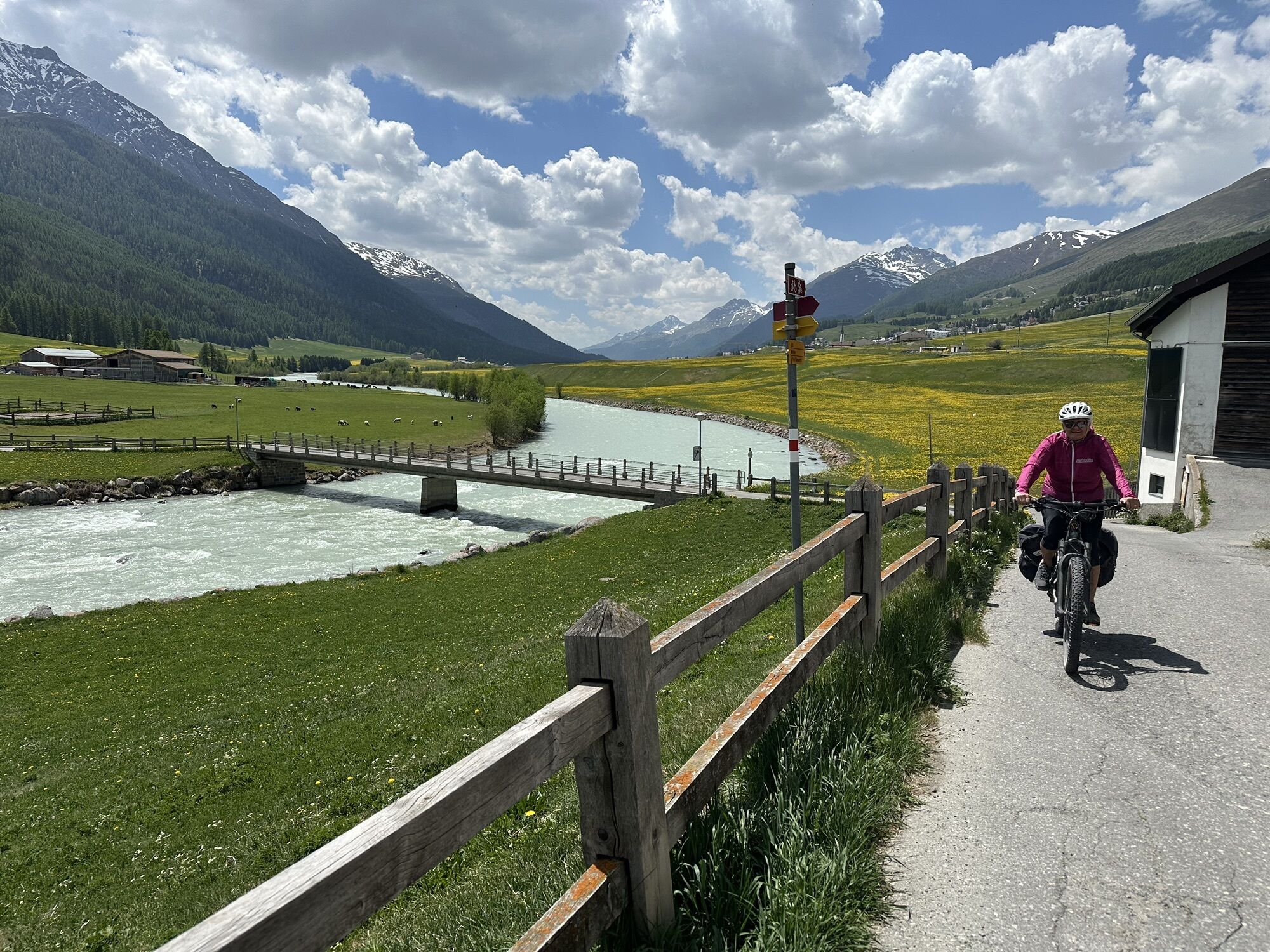
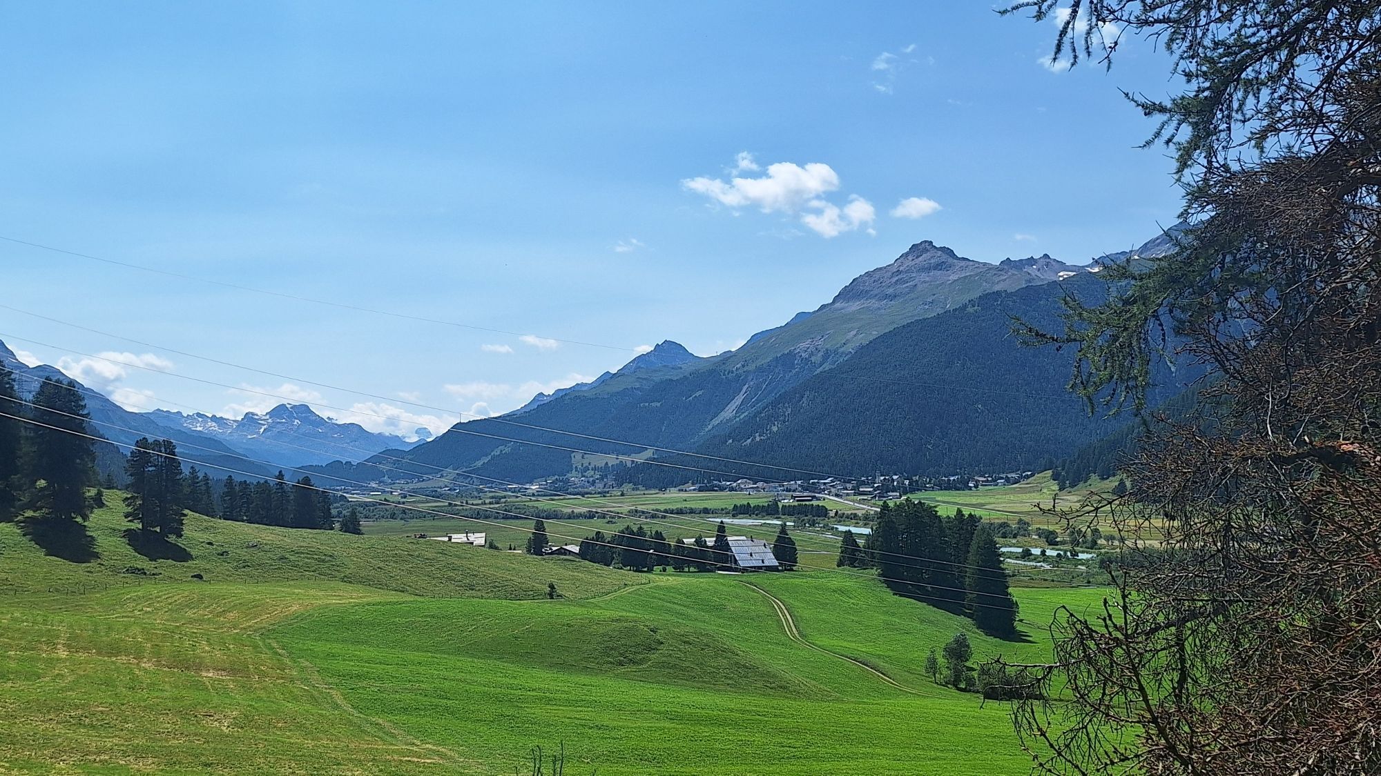
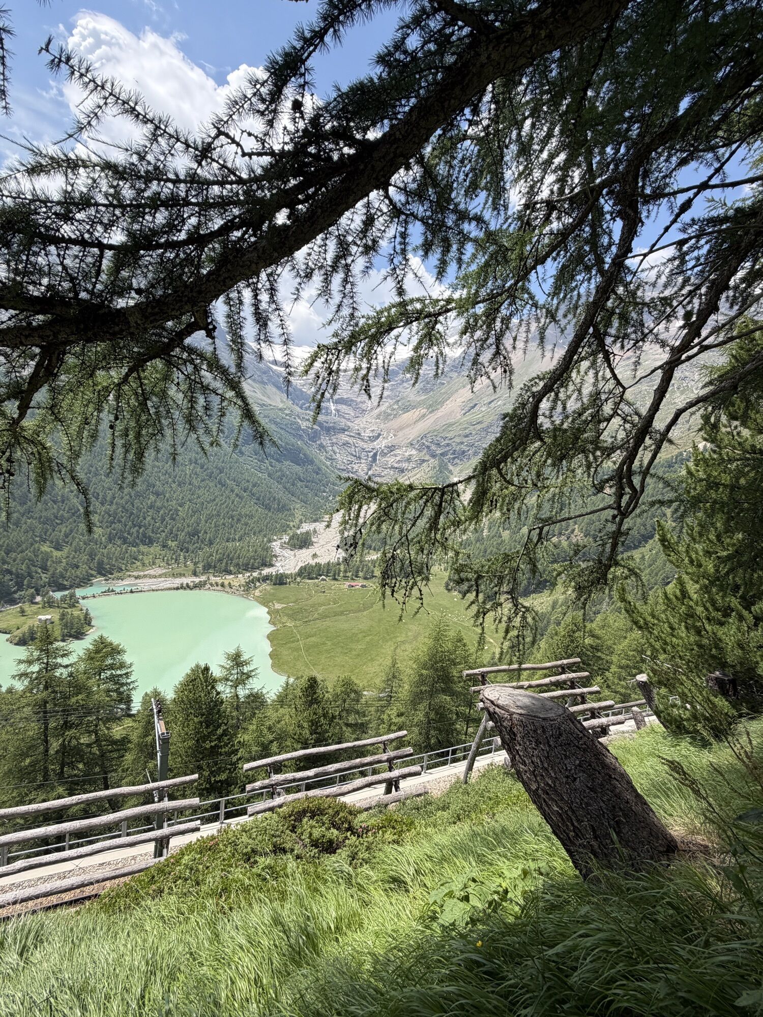
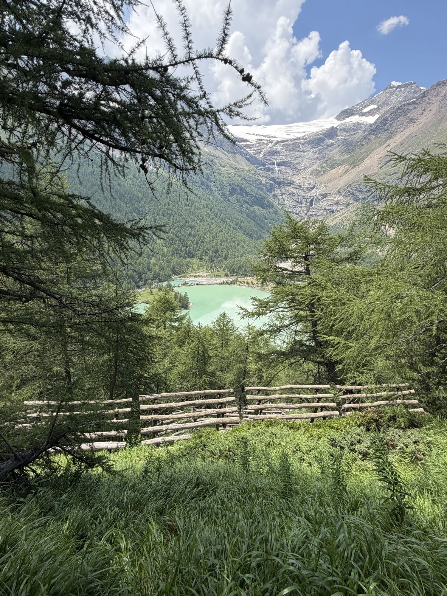
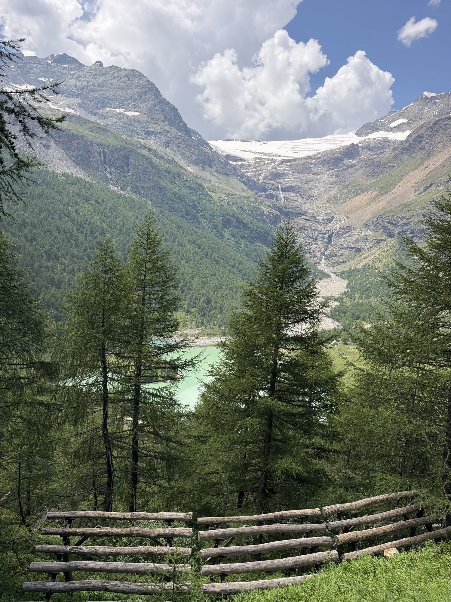
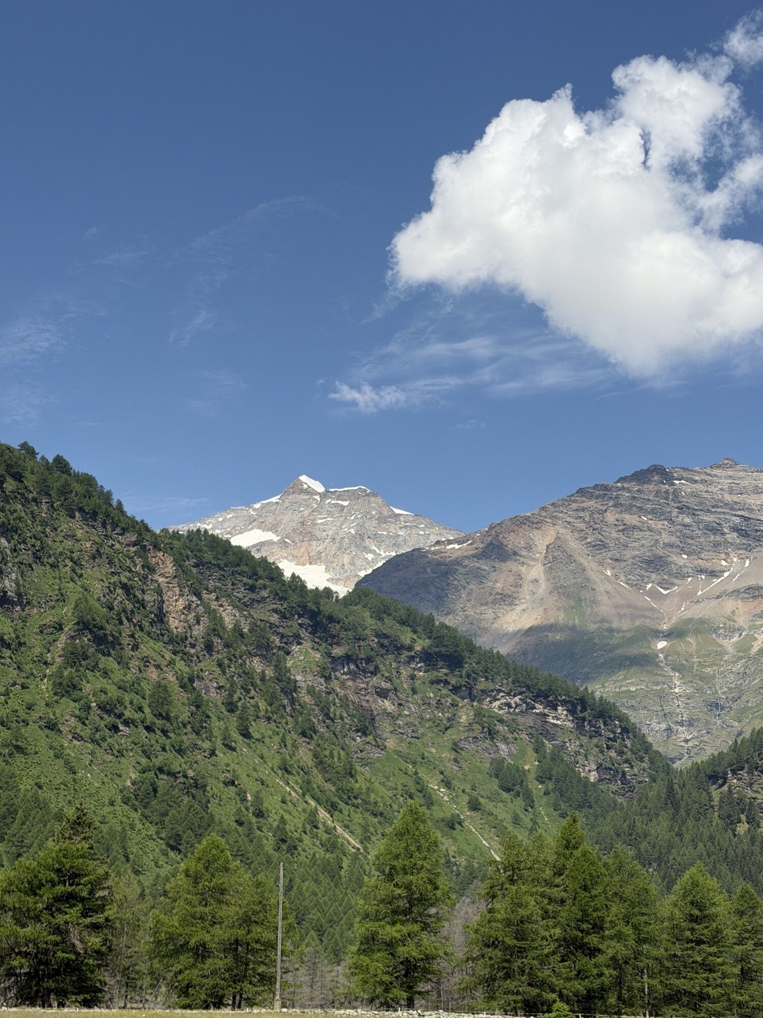
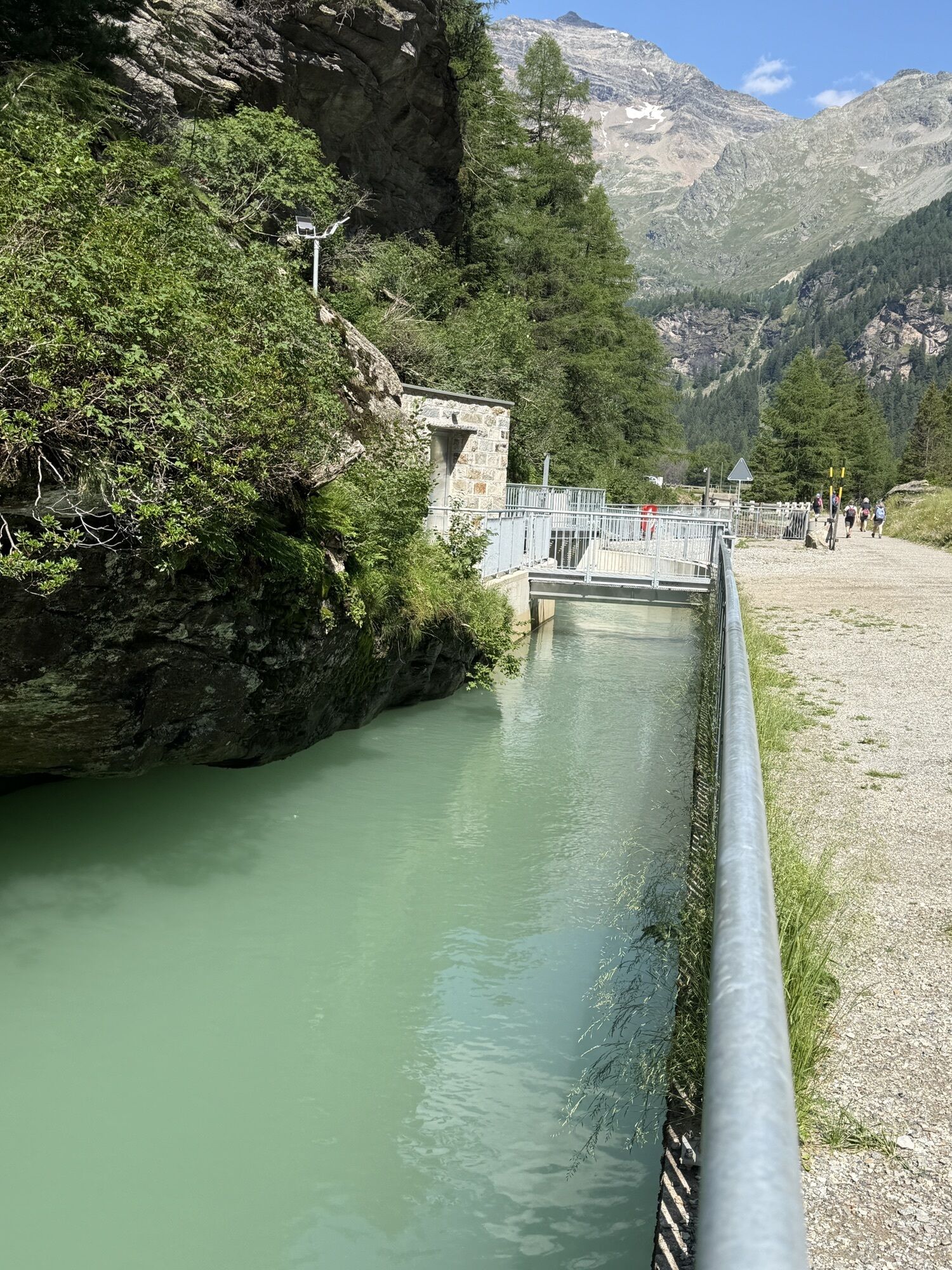
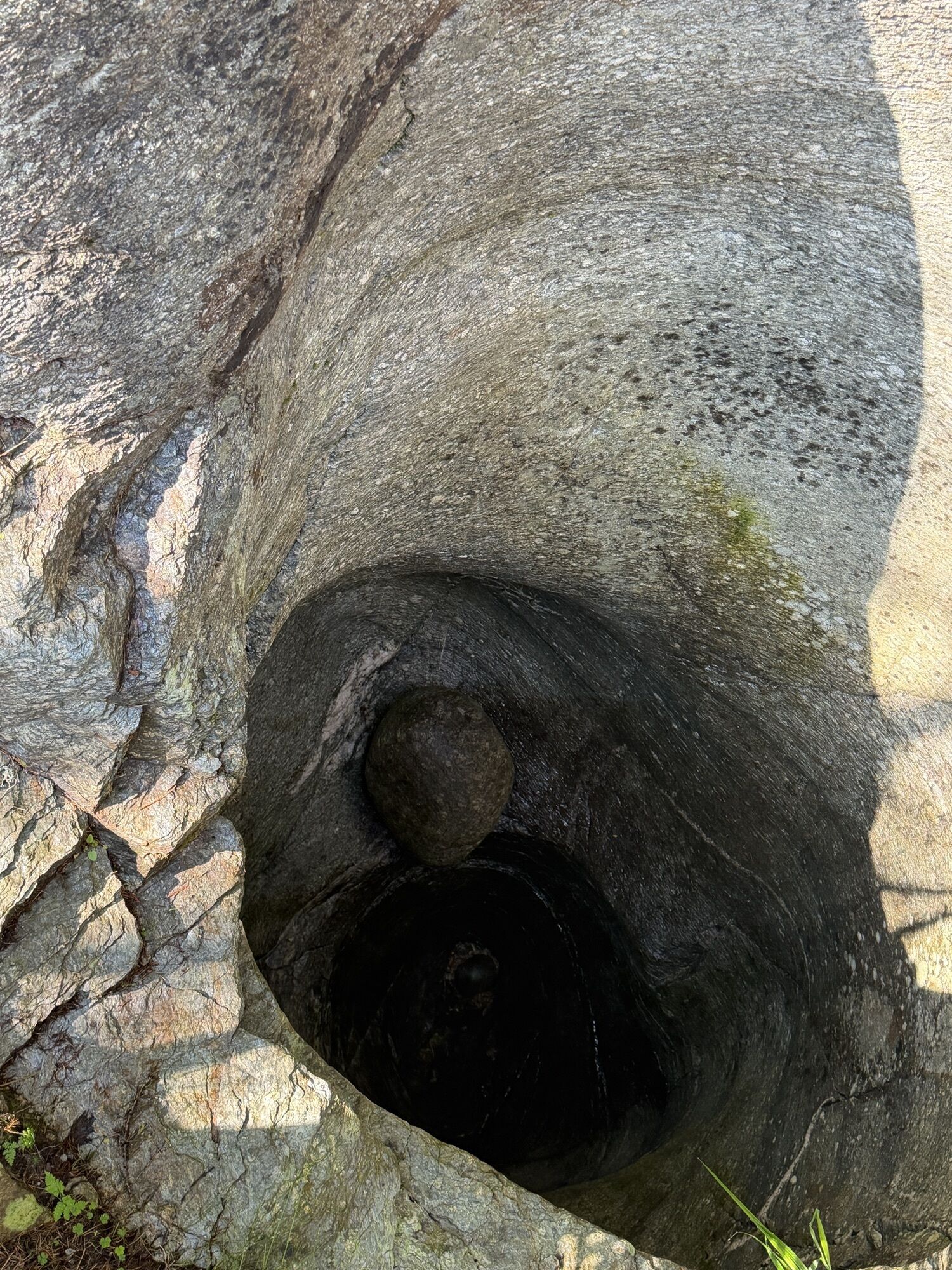
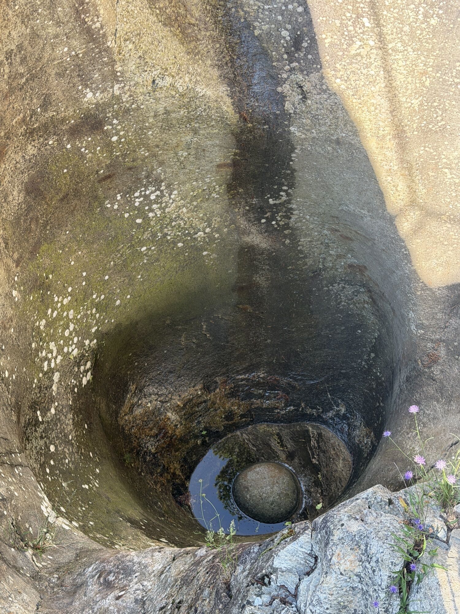
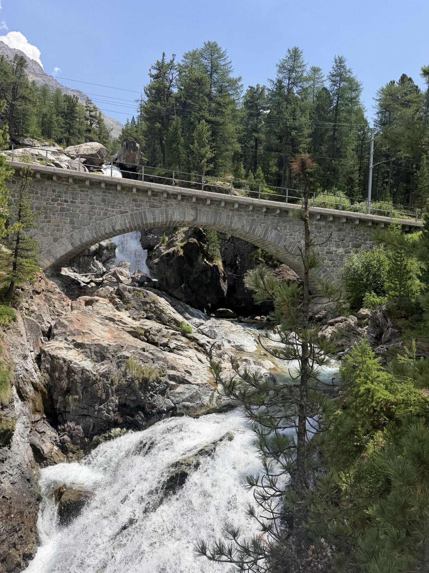
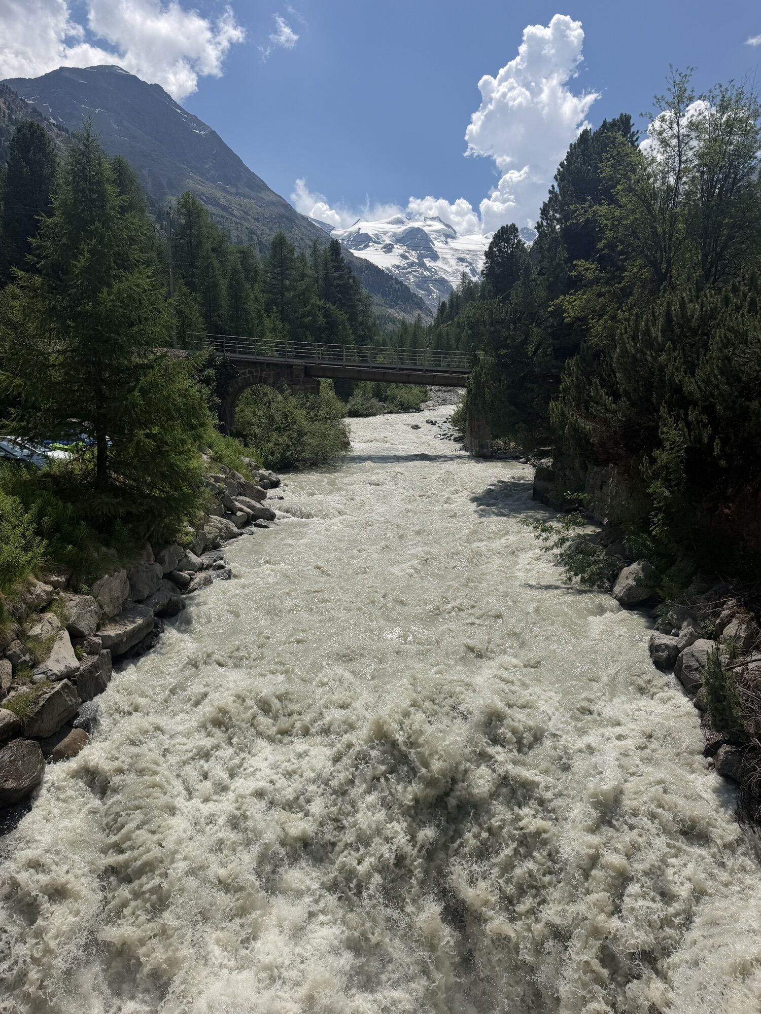
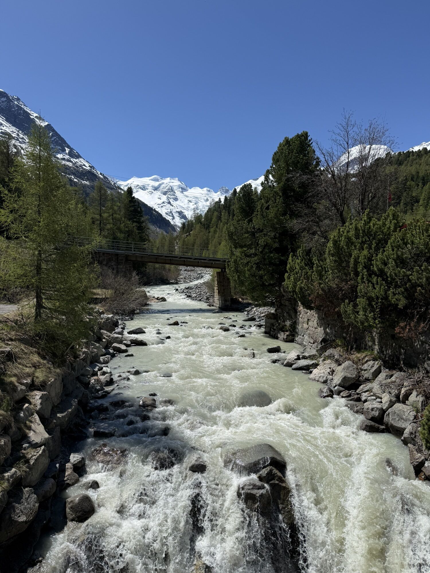
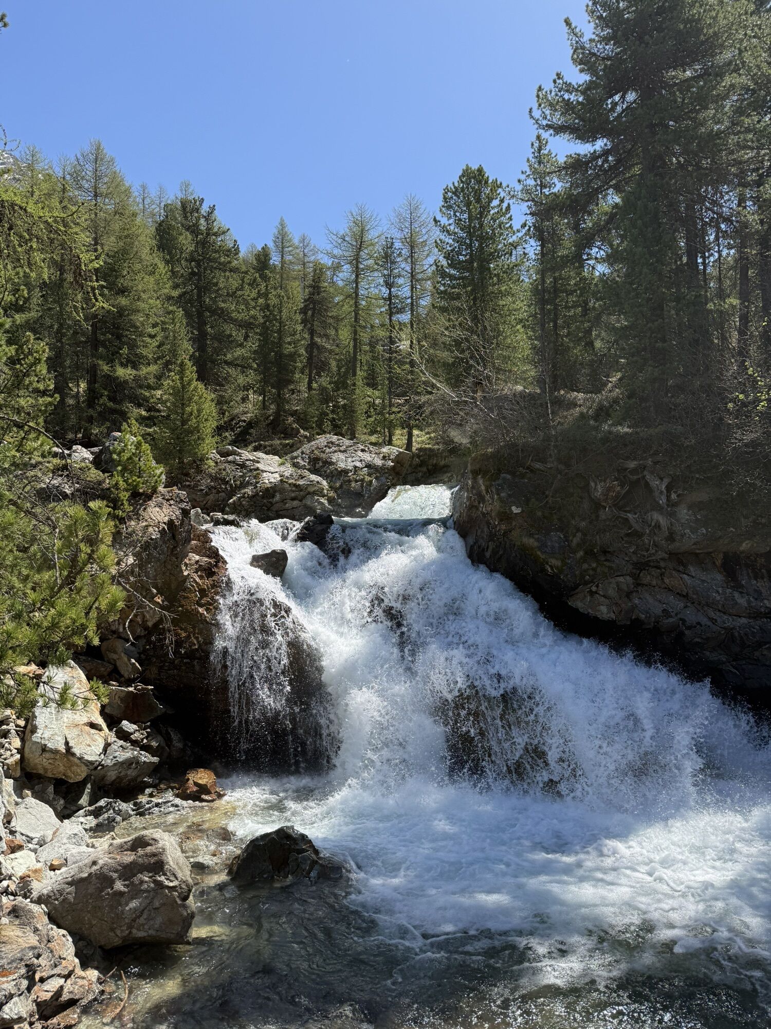

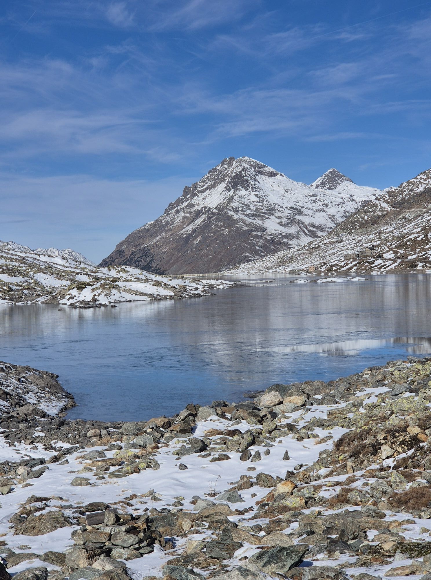
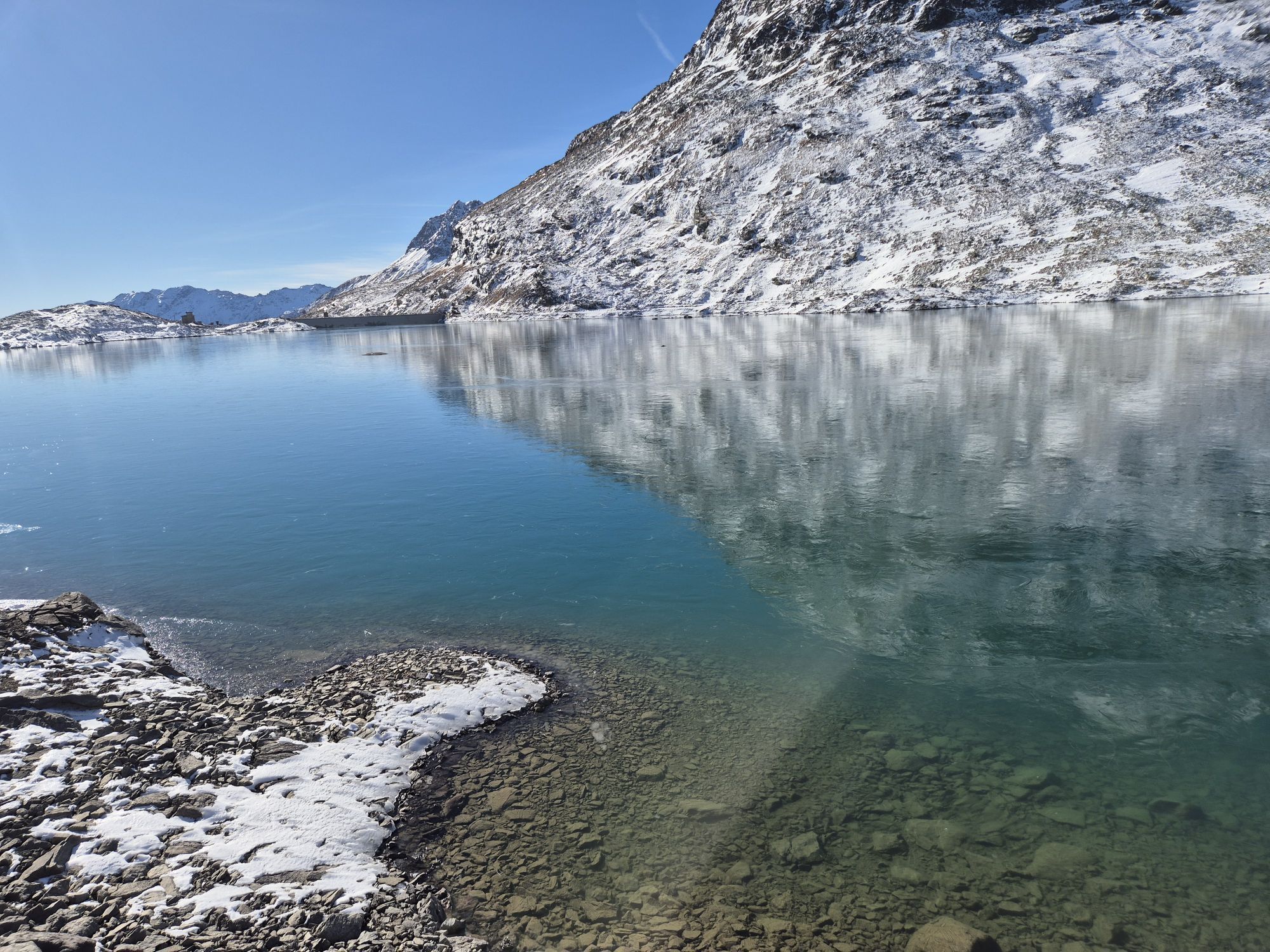

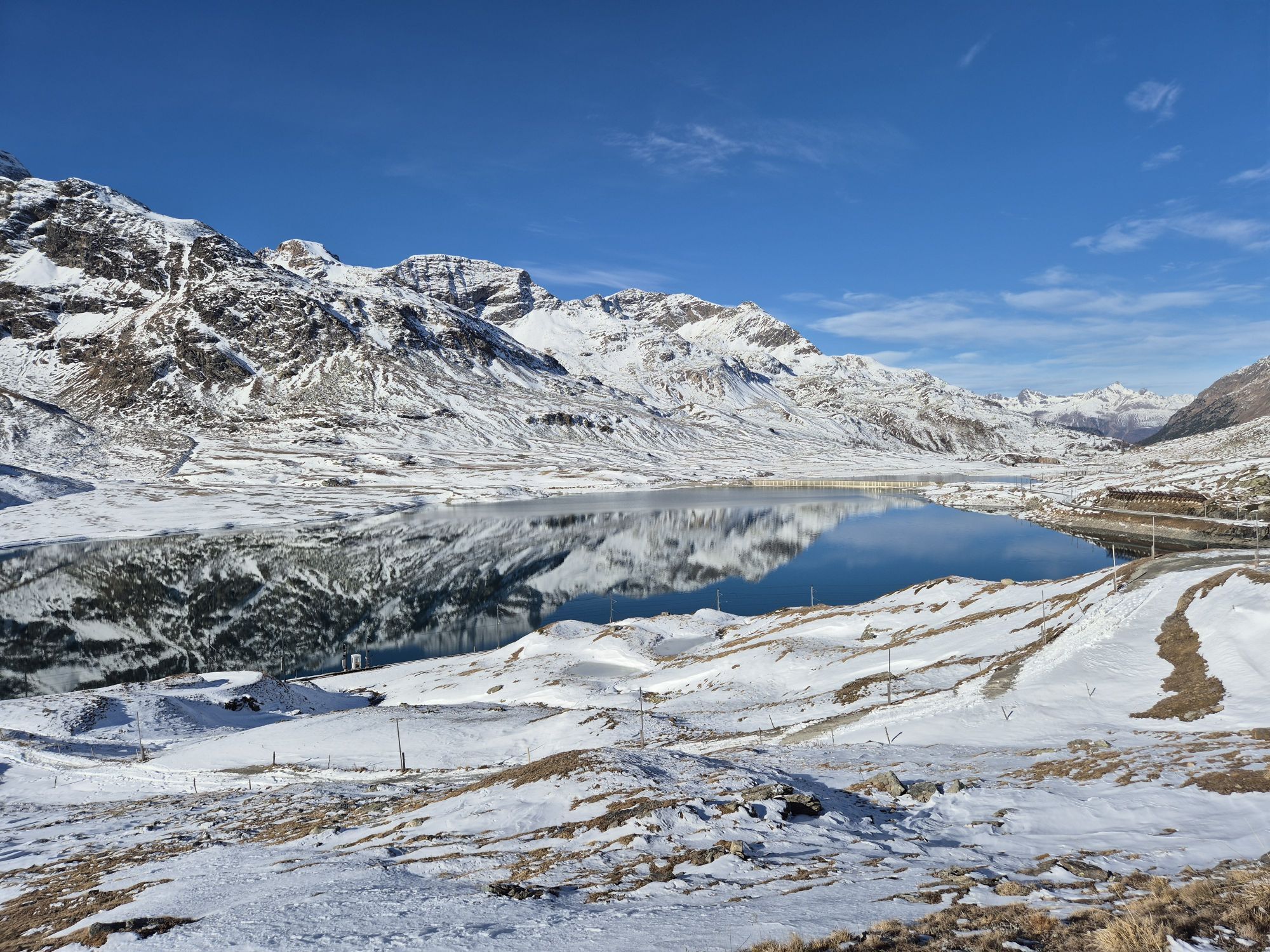
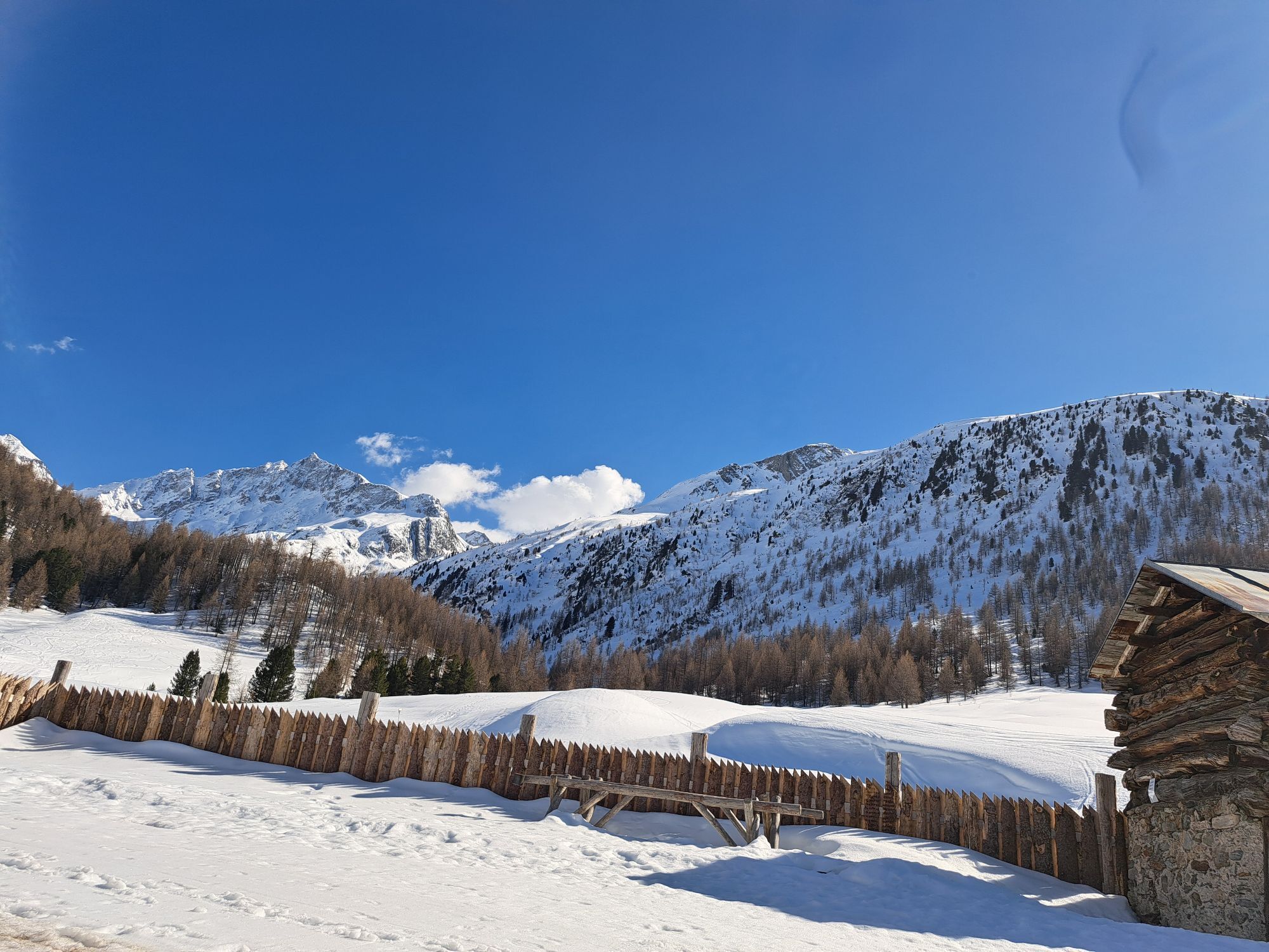
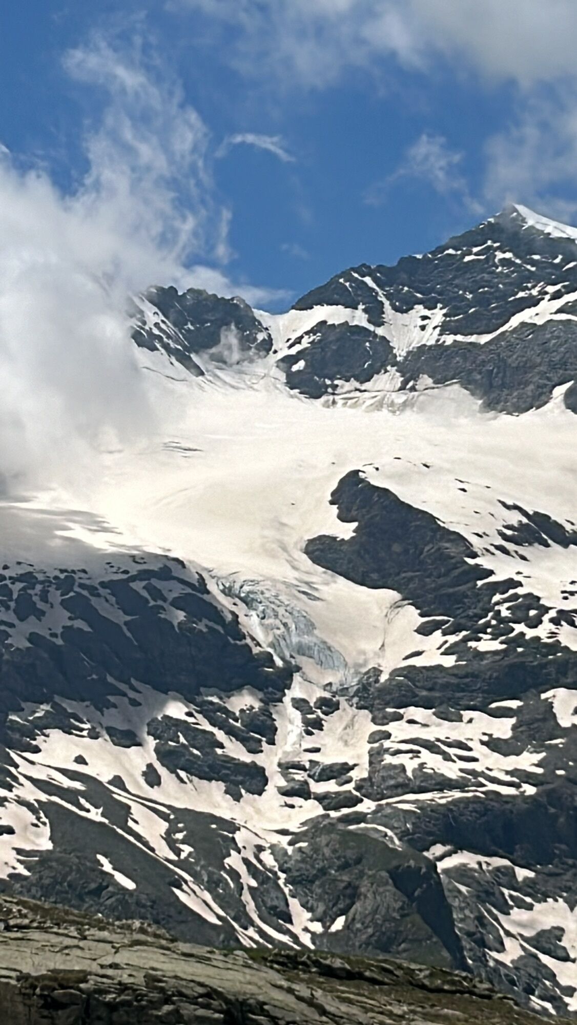
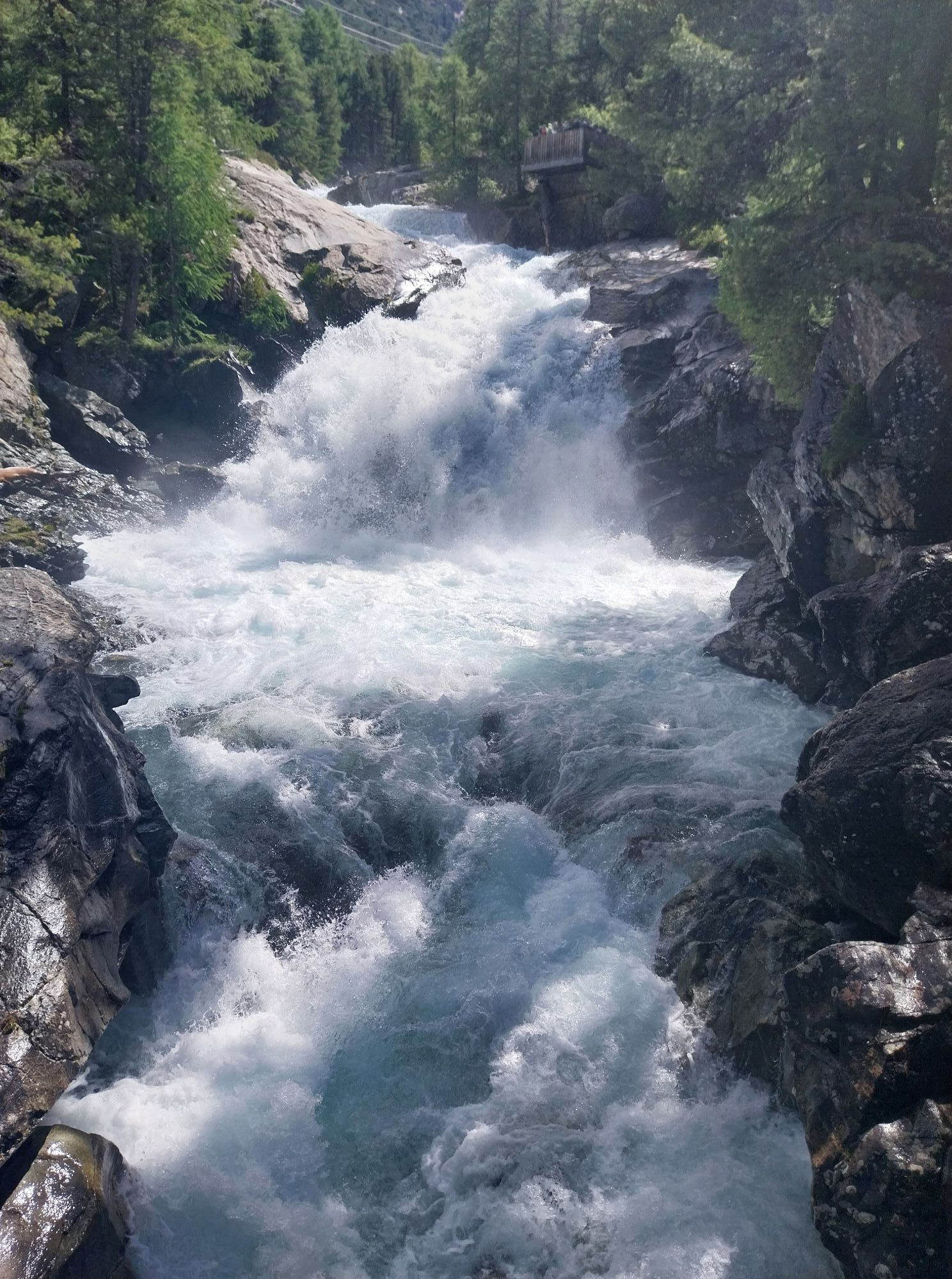
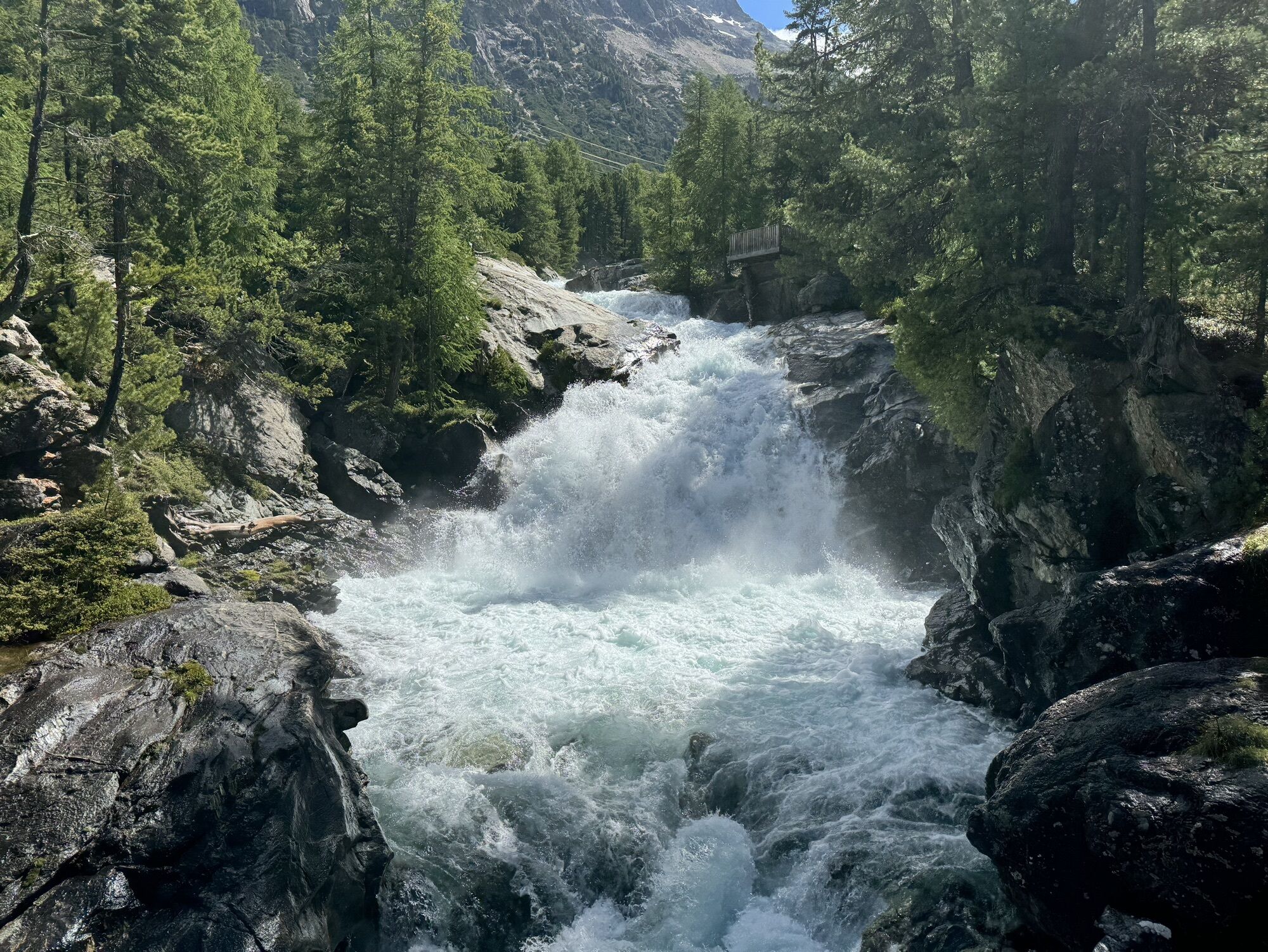
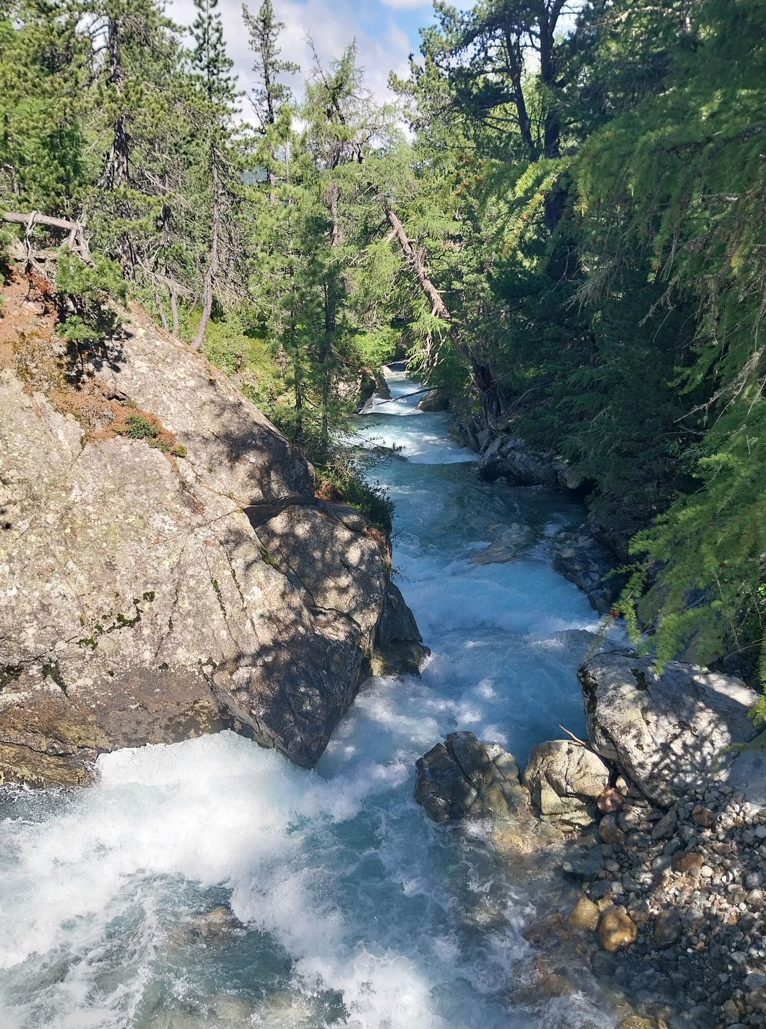
The route from Livigno to Forcola di Livigno (2316 m) runs on the new bike path as well as the pass road and is perfect for warming up. Then the route turns right off the pass road and follows the attractive...
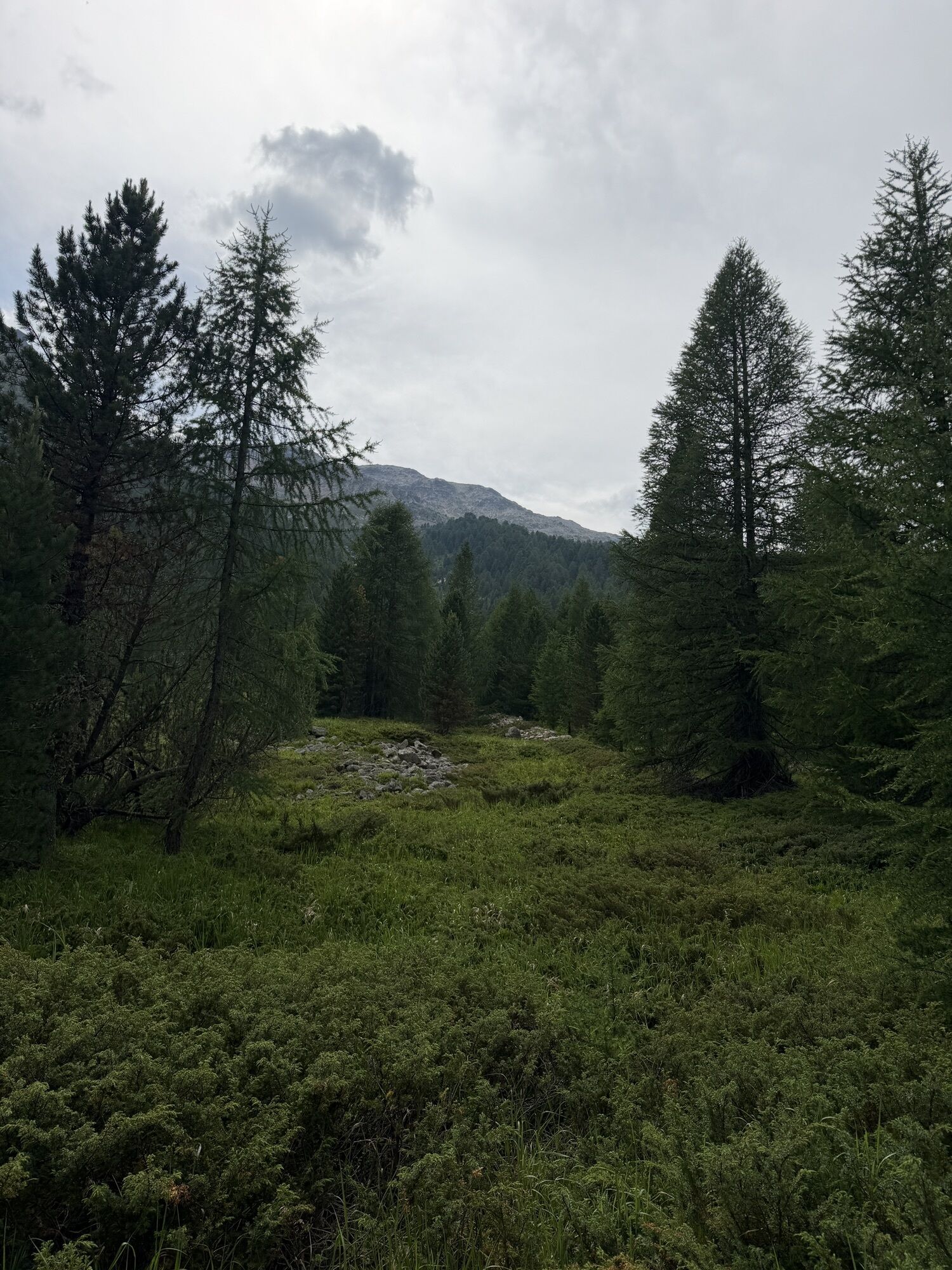
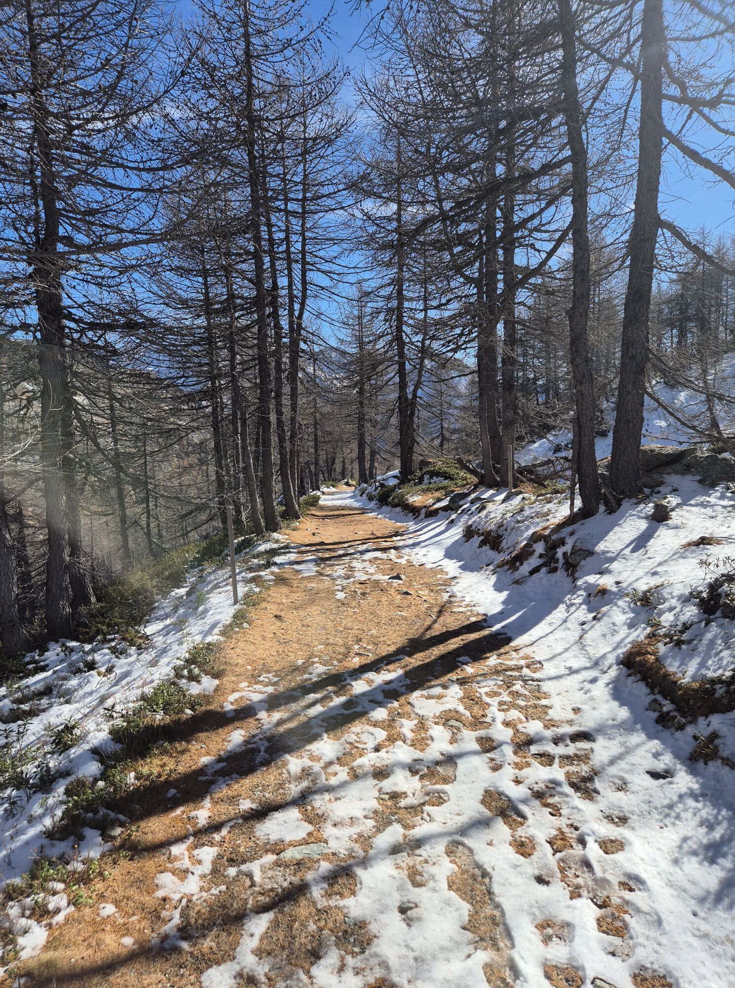
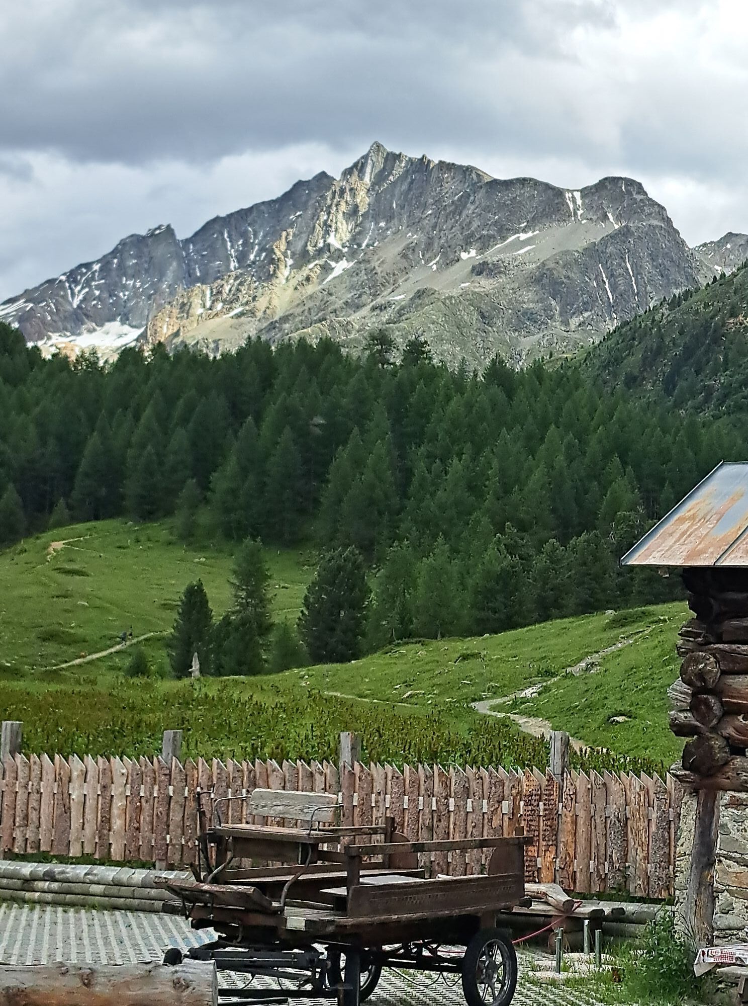
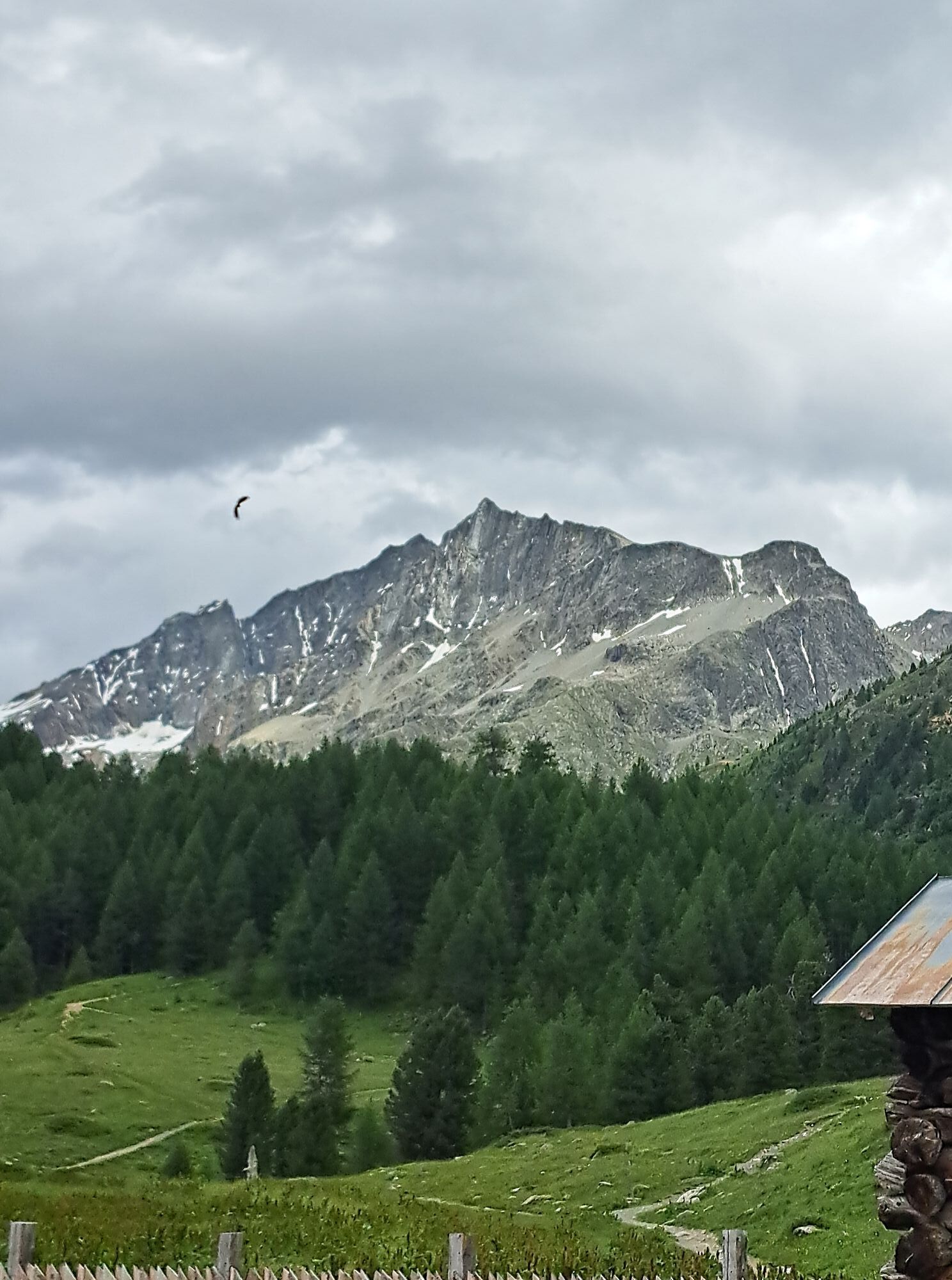
The route from Livigno to Forcola di Livigno (2316 m) runs on the new bike path as well as the pass road and is perfect for warming up. Then the route turns right off the pass road and follows the attractive «Val Minur Marmotta-Trail», which connects Forcola di Livigno with Forcola Minor, reaching its highest point at Motta Bianca (2561 m) and continuing to the Bernina Hospice.
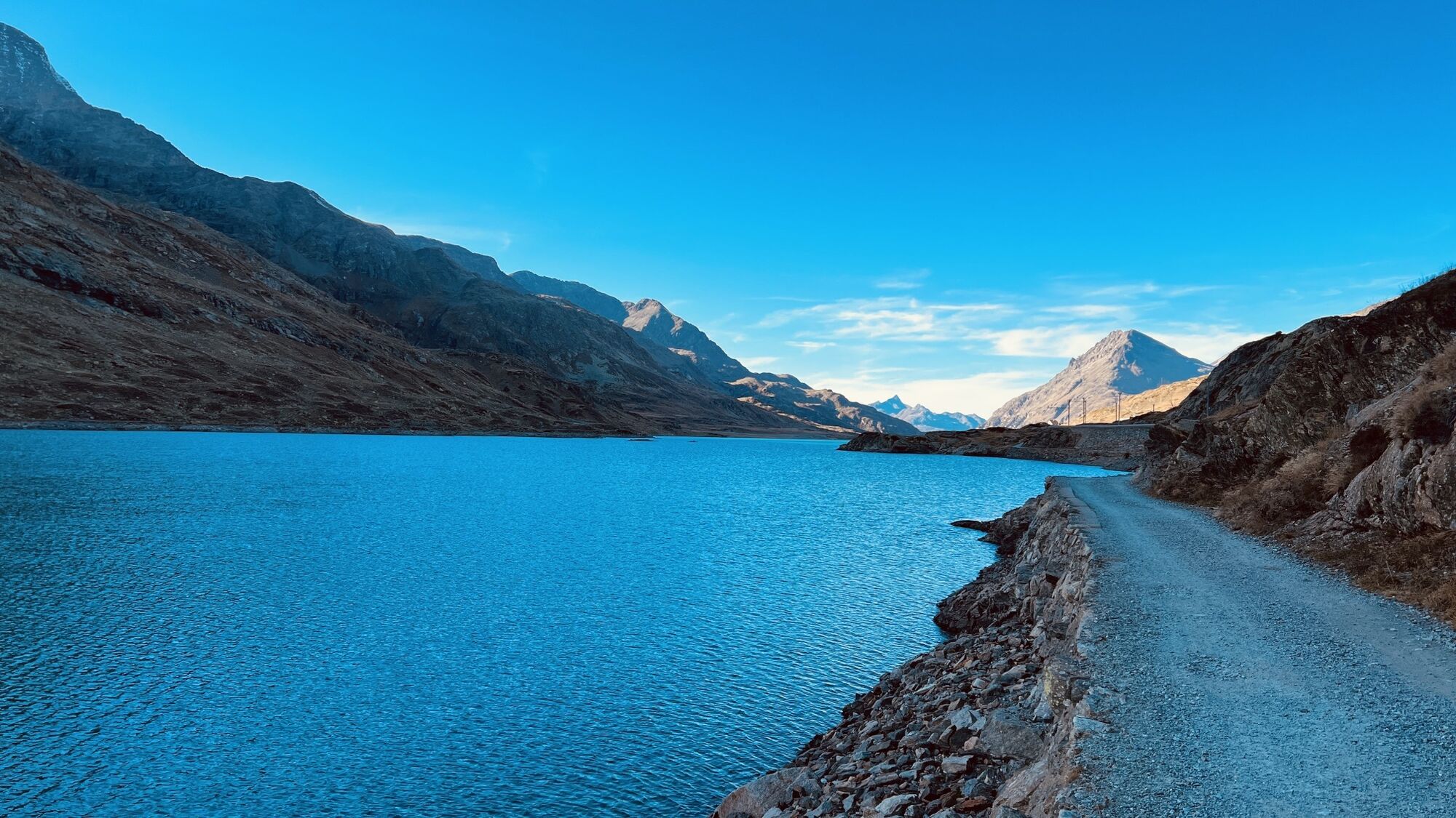
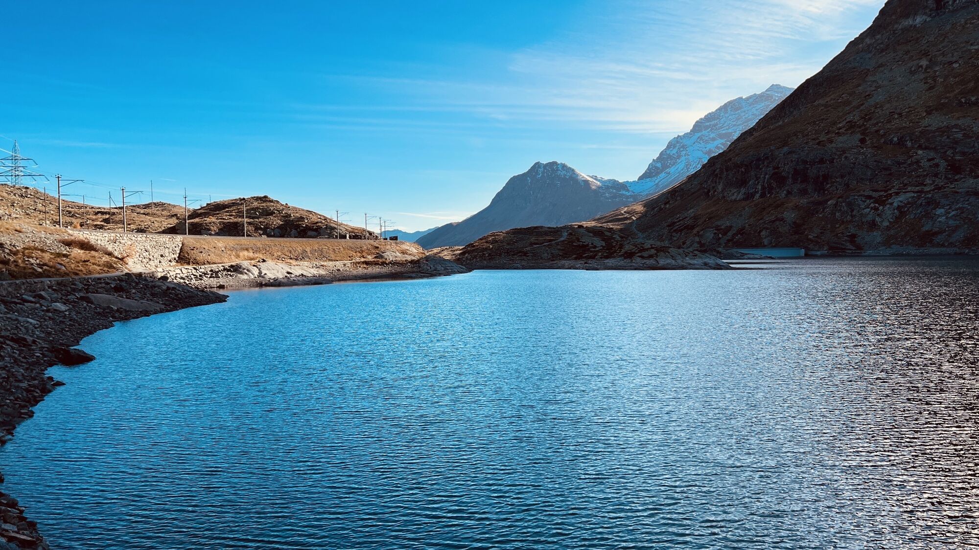
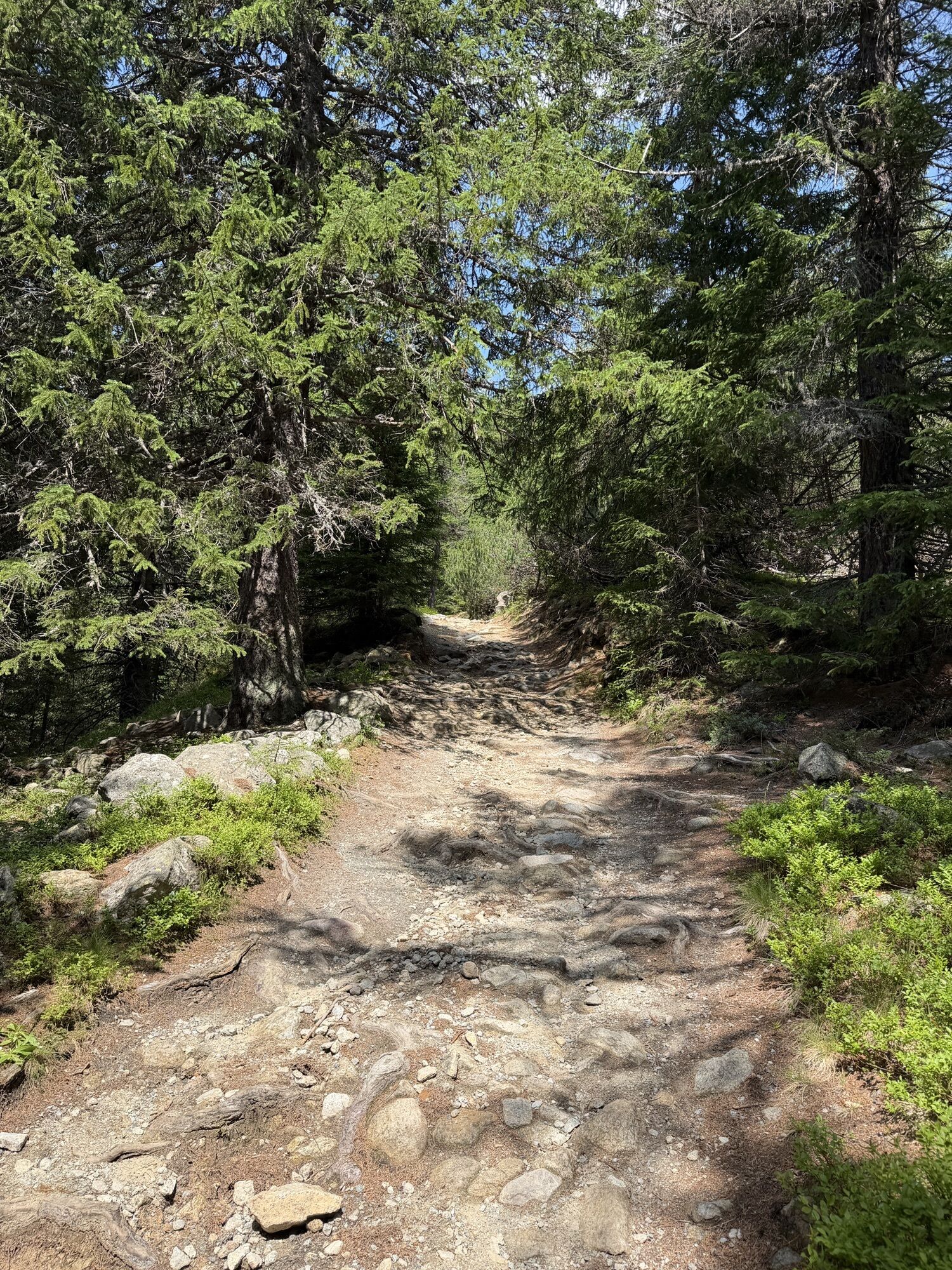
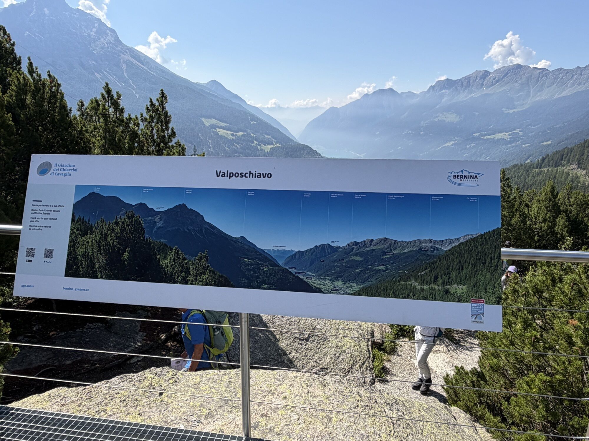
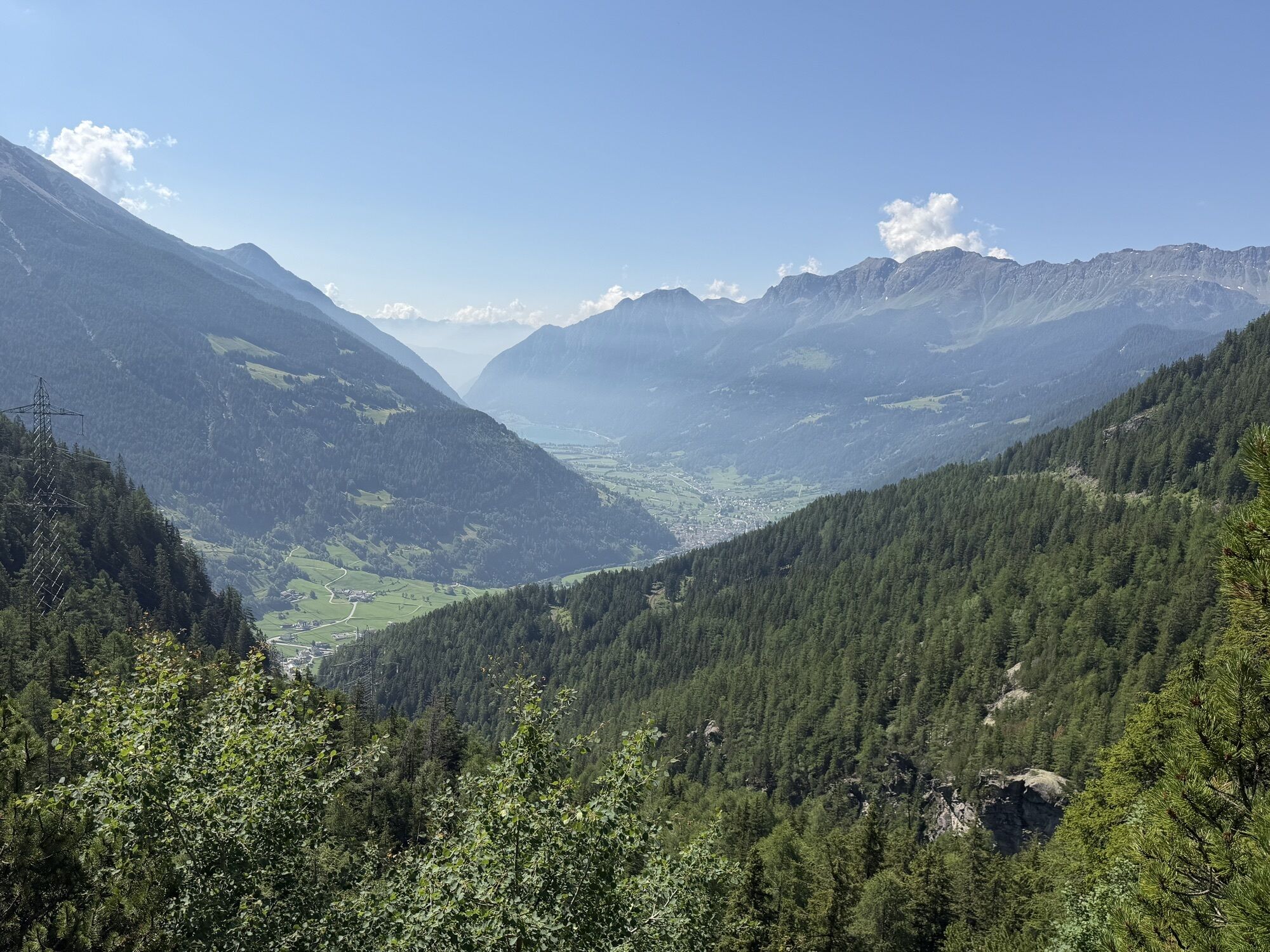
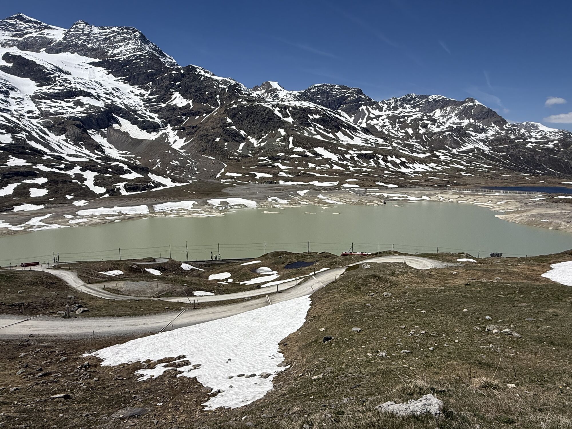
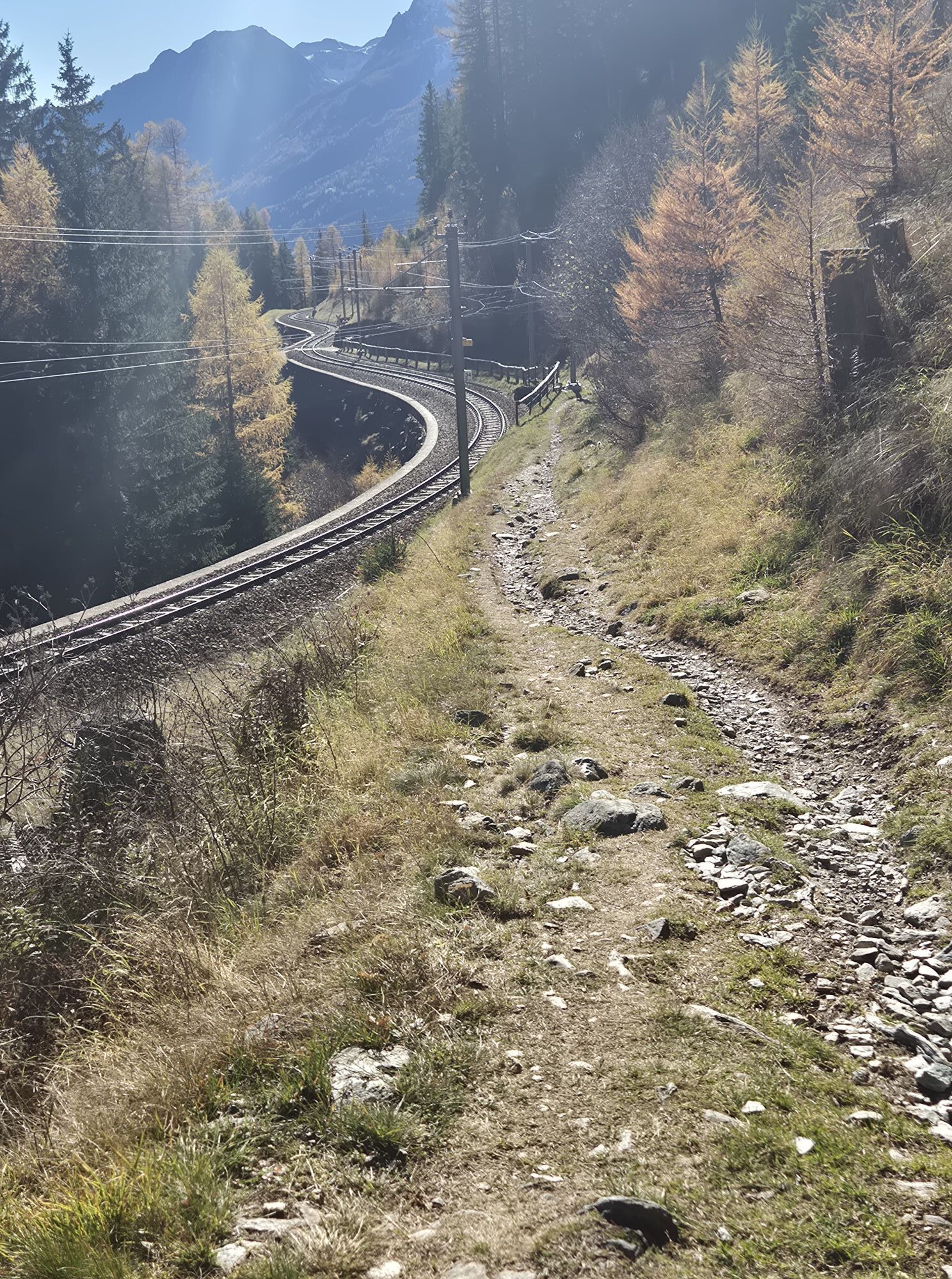
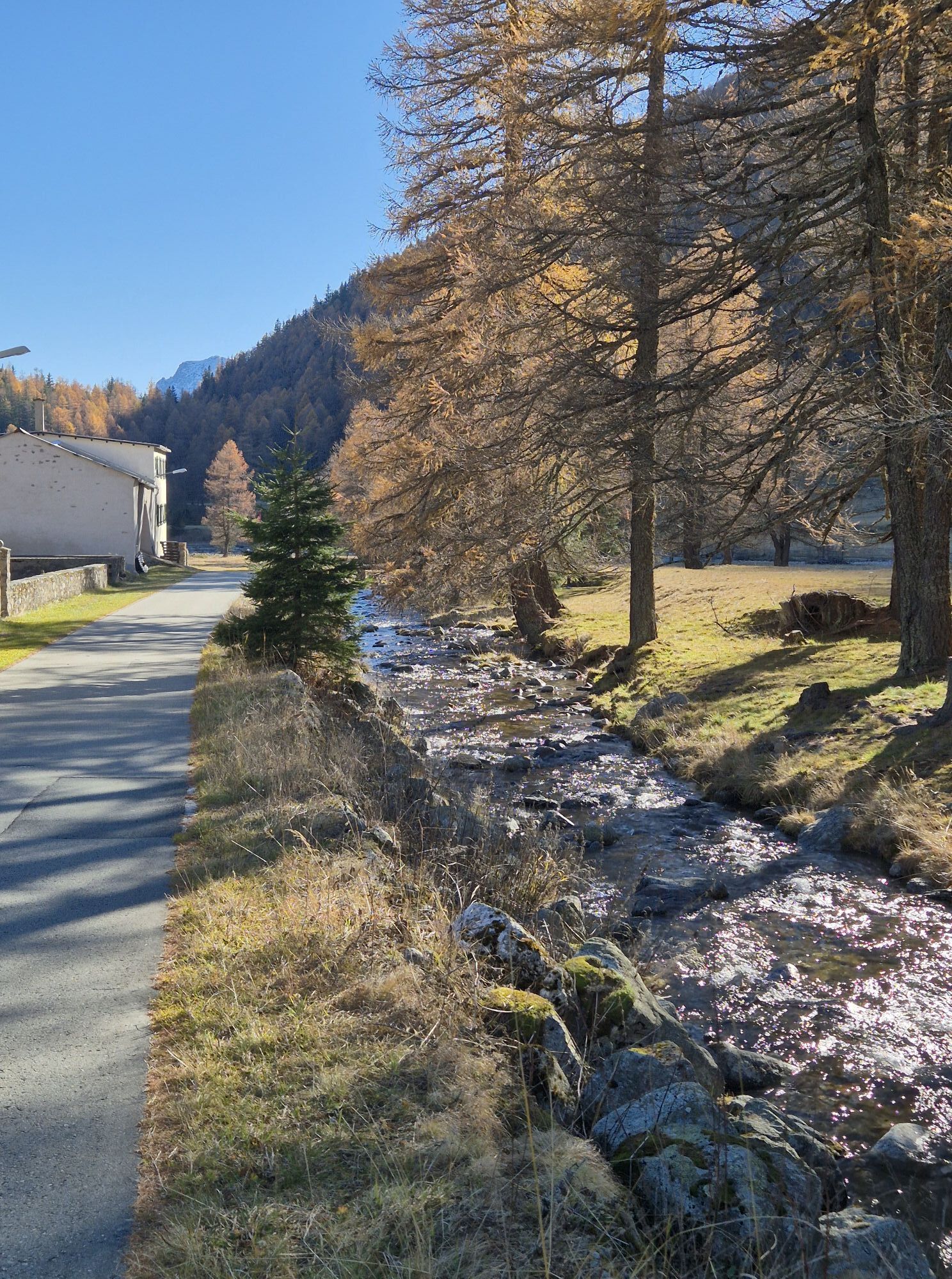
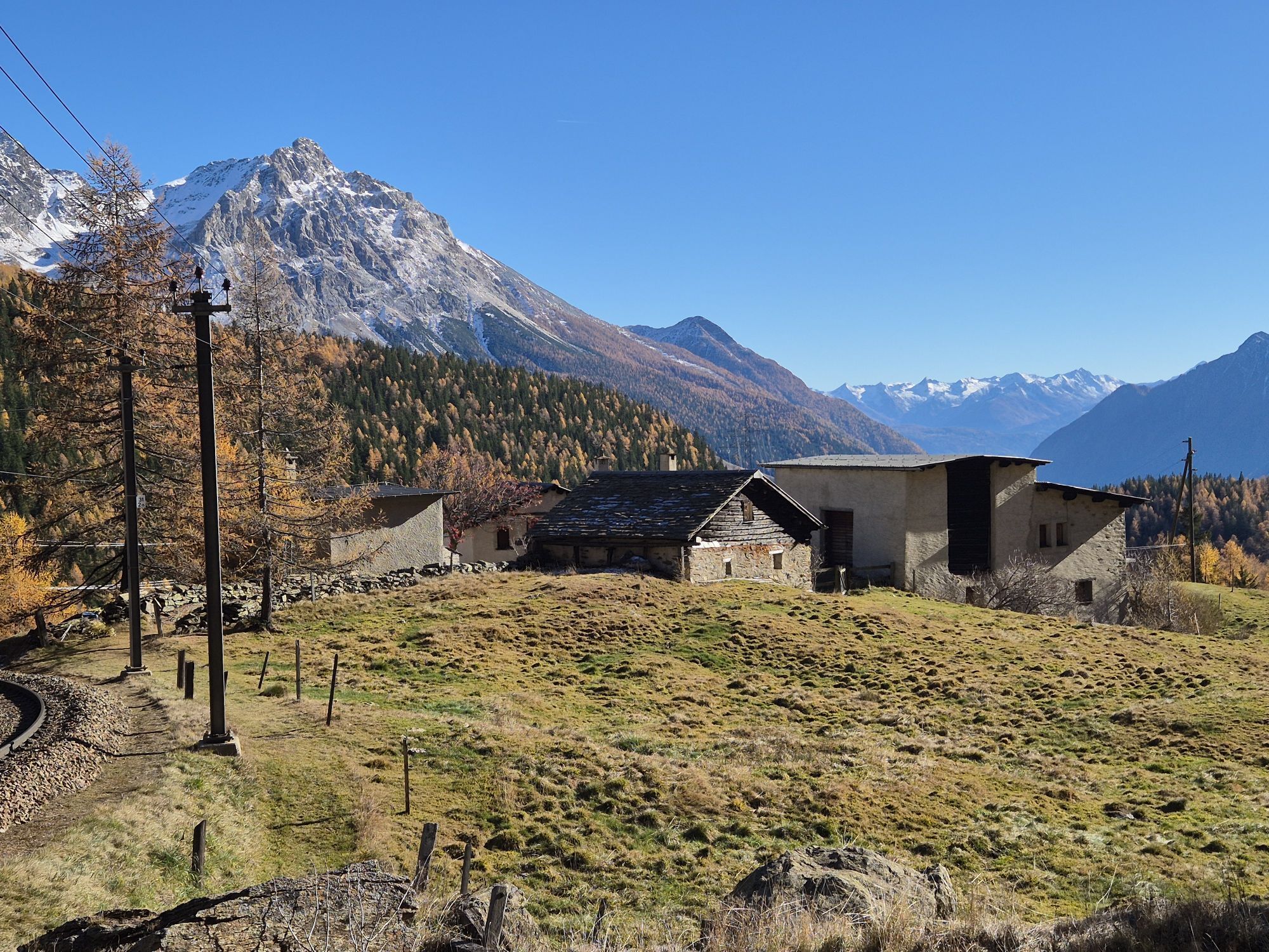
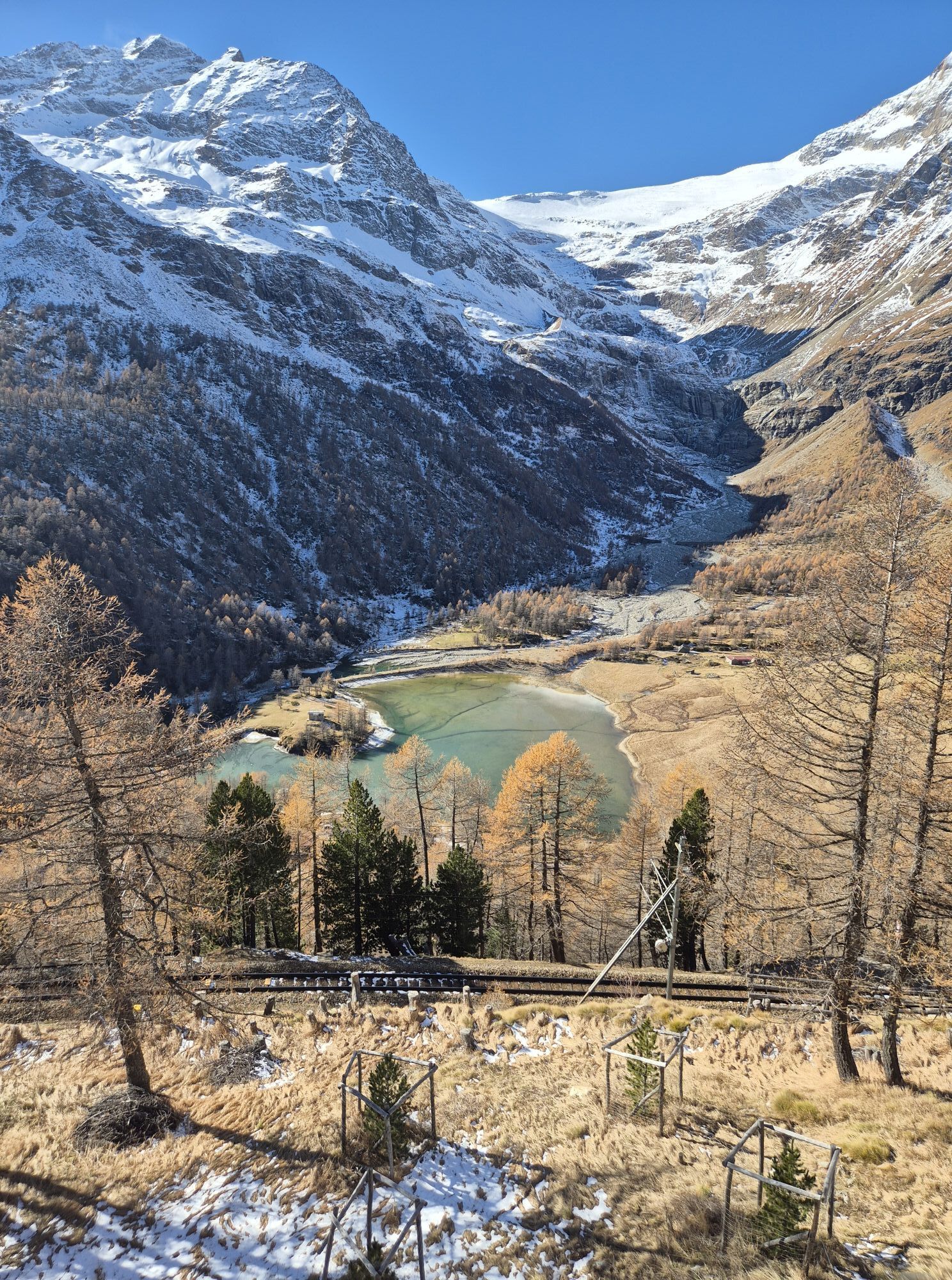
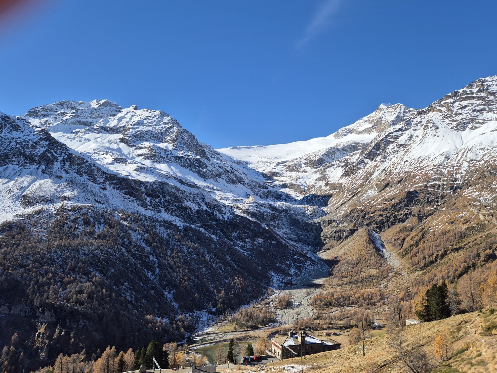
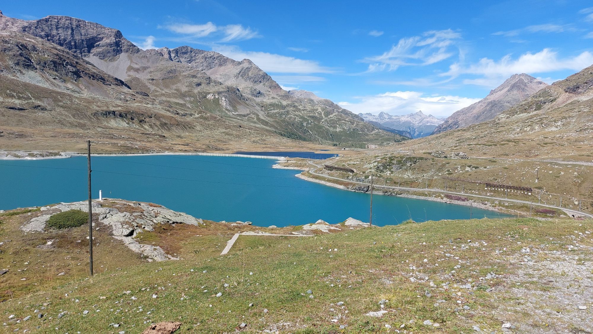
The route to Poschiavo passes Lago Bianco (2234 m) to the starting point of the 1200-meter altitude singletrail experience «Bernina-Express» to Poschiavo. The partly difficult trail (S2, partly large stone slabs) runs via Alp Grüm (2091 m), Cavaglia (1703 m) and Cadera (1461 m), crossing the railway line repeatedly. In Poschiavo (1014 m) it is worth having a coffee on the piazza and enjoying the Italian flair of the place before continuing with the Bernina railway. As an alternative, the «Poschiavino Trail» along the Poschiavino River is available.
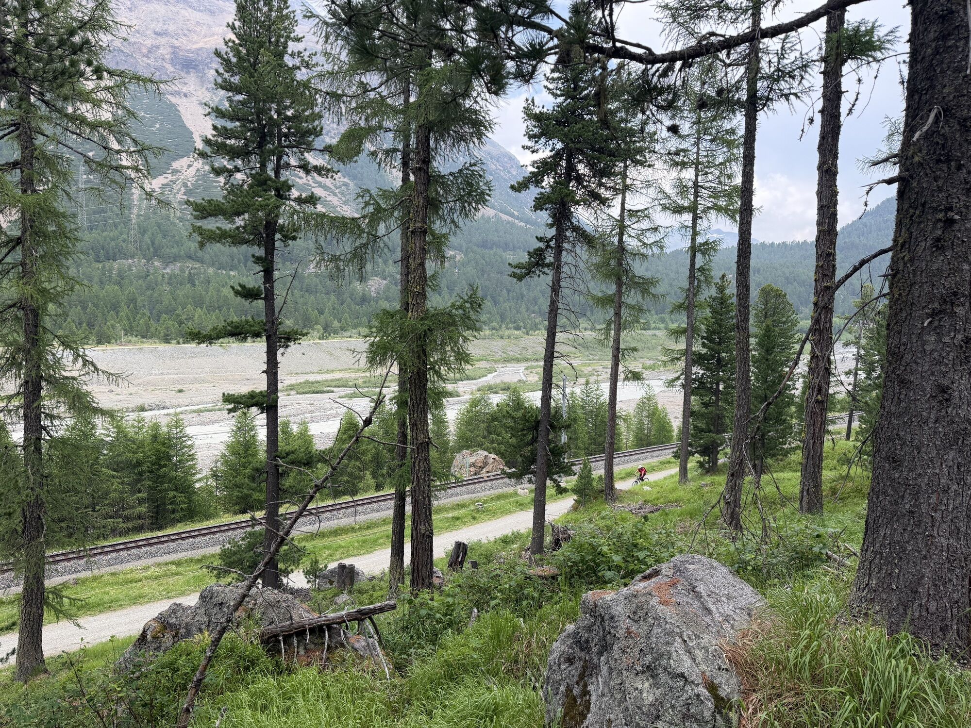
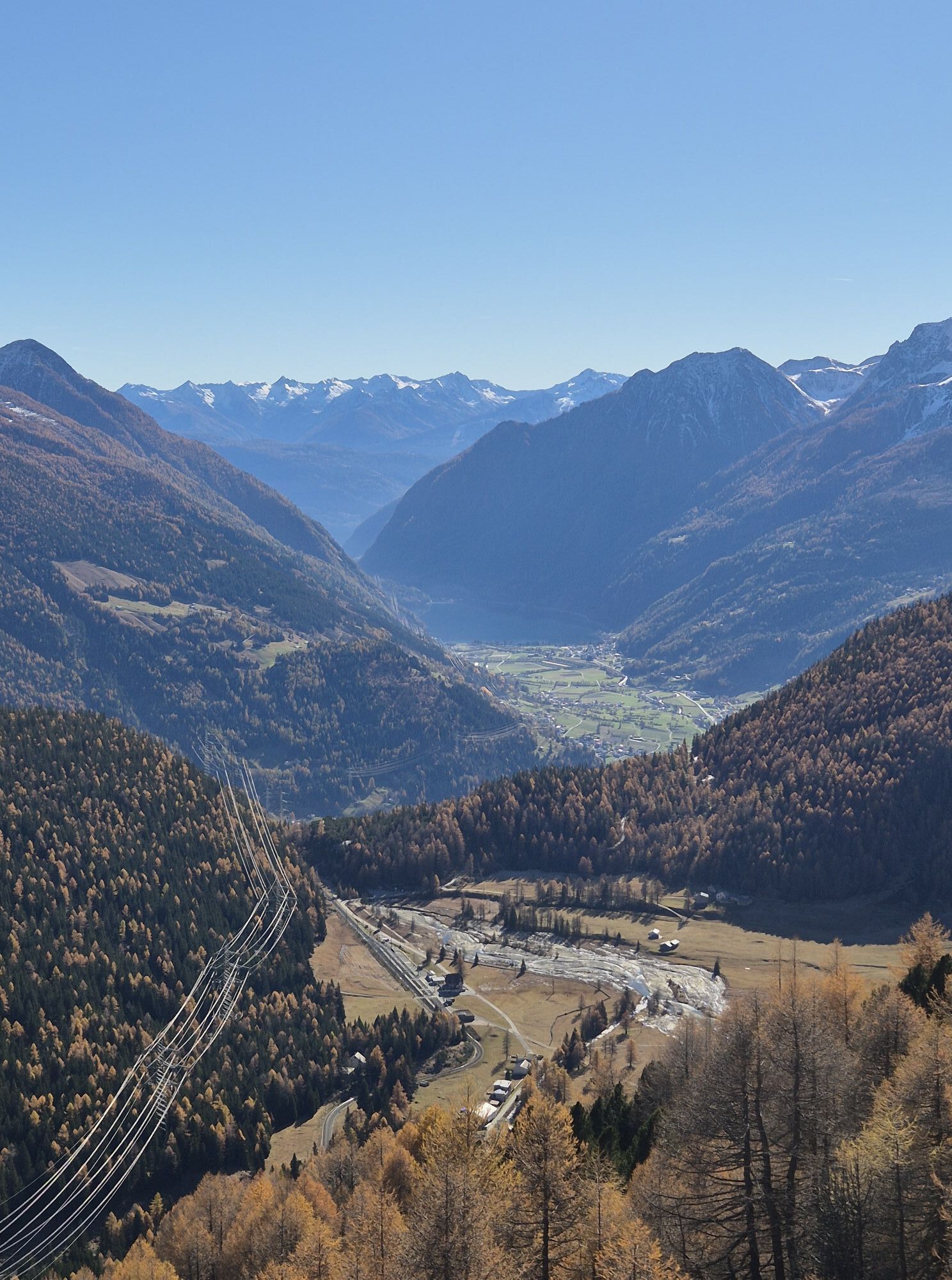
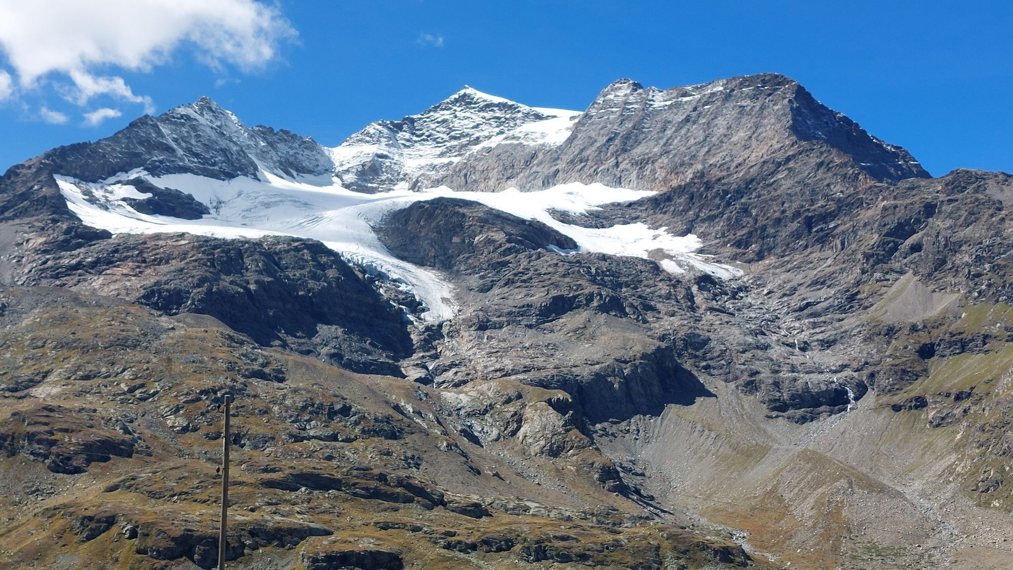
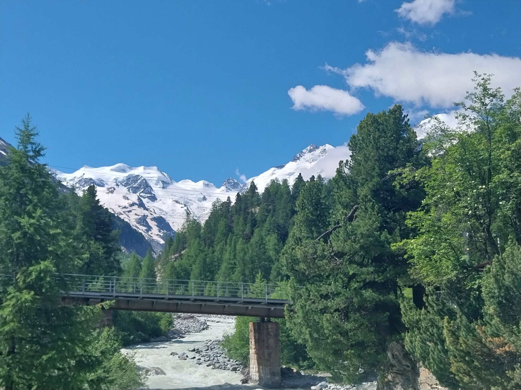
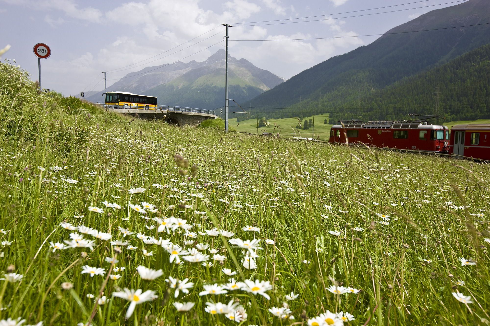
From Poschiavo, the Rhaetian Railway climbs all the way back up to Bernina Suot station (2046 m) and further to Pontresina (1805 m). To reach the day’s destination, you have to change trains in Pontresina towards Scuol-Tarasp. Optional: The section from Bernina Suot past the Morteratsch Glacier to Pontresina (1805 m) can be completed by bike. Then continue on a gravel path to Punt Muragl (1738 m), past Engadin Airport to the stage destination S-chanf.


Livigno, Centro direction Forcola di Livigno (2316 m)
At the point «Baitel del Gras degli Agnelli» turn right to the viewpoint «La Stretta» (2476 m)
Singletrail to Alp la Stretta (2427 m)
Alpine road to the parking lot of the Diavolezza cable car (2093 m)
Continue to Poschiavo:
«Poschiavo Trail» along the Poschiavino River or Along the Bernina railway line past Lago Bianco (2234 m) to Bernina Pass, starting point of the «Bernina-Express» singletrail to Poschiavo (via Alp Grüm (2091 m), Cavaglia (1703 m), and Cadera (1461 m))From Poschiavo with the RhB to Bernina Suot station (2046 m)
Continue towards Pontresina (1805 m), past the Morteratsch Glacier
From Pontresina:
RhB towards Scuol-Tarasp to S-chanf or Gravel path to Punt Muragl (1738 m) and further to S-chanfDa
Helmet, gloves, good footwear, glasses, rain and sun protection, water bottle, repair kit, first aid kit, money, and any season tickets for the train ticket
The tour was rated under favorable weather conditions; current weather and forecasts must be checked before the tour start. This tour requires a high level of riding safety, balance, and riding skills.
Emergency numbers:
144 emergency, first aid
1414 mountain rescue REGA
112 international emergency number
Be considerate when crossing and overtaking hikers.
The Grisons mountain bike routes mostly run on singletrails, which are also marked as hiking trails. Hikers always have the right of way.
From the north: via Landquart – Klosters by car shuttle through the Vereina Tunnel (Selfranga - Sagliains) or over the Flüela Pass to Zernez on H27. From Zernez on the H28 to Munt la Schera and through the toll tunnel la Schera to Livigno (45 minutes from Vereina south portal)
From the east: via Landeck / Austria towards St. Moritz on H27 to Zernez. From Zernez on the H28 to Munt la Schera and through the toll tunnel la Schera to Livigno.
From the south: via Bolzano and Merano on SS40 to Mals. From Mals on SS41 to the Swiss border at Müstair. From Müstair on H28 over the Ofen Pass to Munt la Schera and through the toll tunnel la Schera to Livigno.
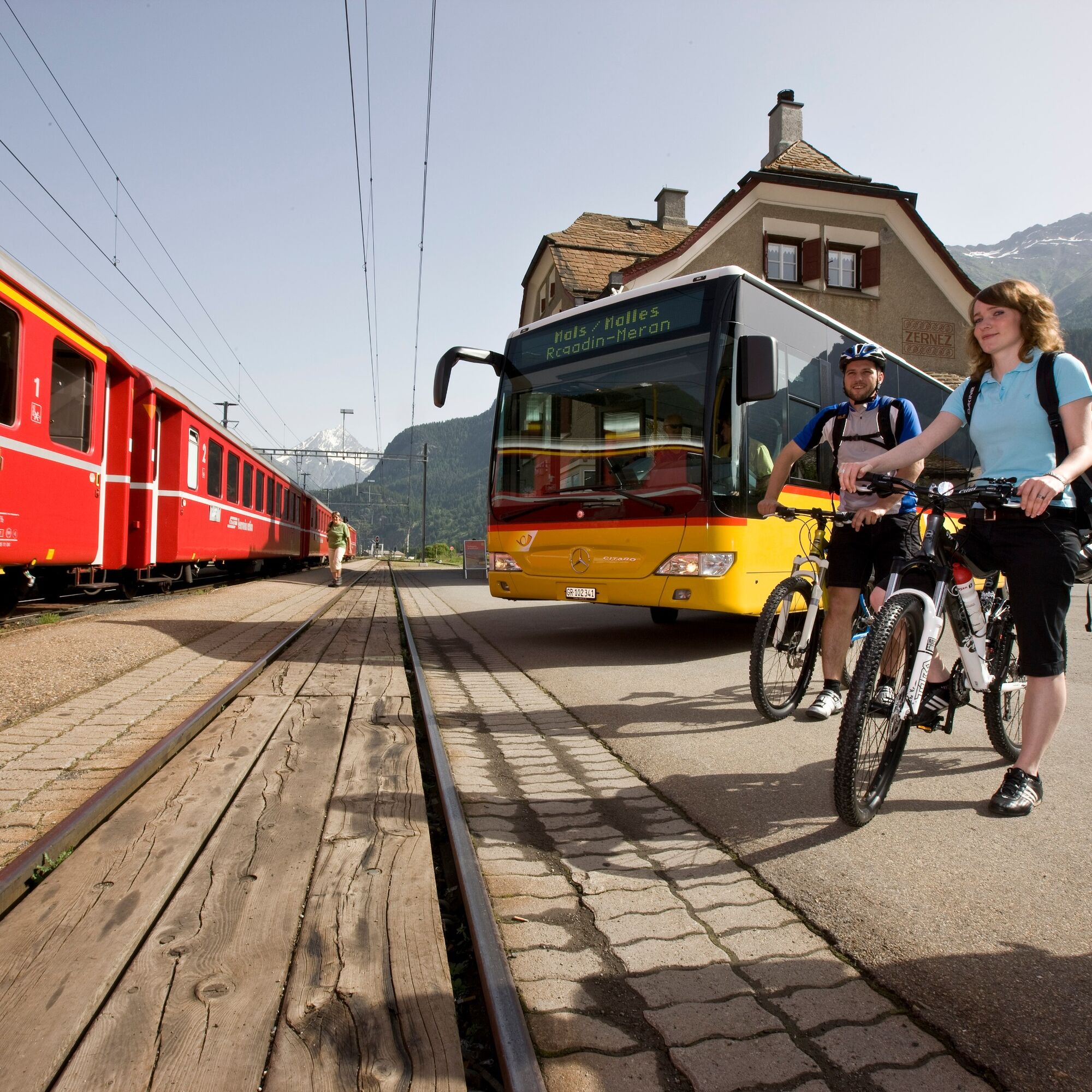
By the Rhaetian Railway (from Chur, Landquart/Prättigau, from the Upper or Lower Engadin) hourly to Zernez station
By PostBus from Val Müstair and Mals hourly to PostBus stop Punt la Drossa P4
From Zernez and Punt la Drossa P4 several times daily (not hourly) to PostBus stop Livigno, Centro
Paid parking lots in Livigno (starting point)
Paid parking lots in S-chanf (destination)
S3
Due to the numerous alternatives (Poschiavino Trail or Bernina Express Singletrail, descent from Bernina or Pontresina by bike or by train), a detailed route planning is essential. It is strongly recommended to carry map material.
Spletne kamere s turneje
-
Corviglia
-
St. Moritz / Samedan - Muottas Muragl
-
Camping Morteratsch
-
Mottolino
-
Monte Della Neve
-
Samedo - Engadin Golf
-
St. Moritz / Samedan - Muottas Muragl
-
St. Moritz / Samedan - Muottas Muragl
-
St. Moritz / Samedan - Muottas Muragl
-
St. Moritz / Samedan - Muottas Muragl
-
Berninapass
-
Corviglia
-
Corviglia
-
Corviglia
-
Corviglia
-
Corviglia
-
Corviglia
-
Corviglia
-
Mottolino - Bike Park
-
Livigno Ski School Area
-
Diavolezza Bergstation
-
Diavolezza Bergstation
-
Diavolezza Bergstation
-
Diavolezza Bergstation
-
Diavolezza Bergstation
-
Diavolezza Bergstation
-
Diavolezza Bergstation
-
Sassalbo
-
Diavolezza Bergstation
-
Celerina - Cresta Palace
-
Livigno
-
Livigno - Crap
-
Zuoz
-
Celerina - Skiwiese Provuler
-
La Punt - Wasserreservoir
-
Samedan - Engadin Airport
-
Zuoz - Engadin Golf
-
Bergstation Lagalb
-
Livigno
-
Livigno Teola
Pridobite vpogled
Vedno v živo na mestu z več kot 9.500 spletnimi kamerami. bergfex Kot uporabnik Pro si lahko zdaj ogledate ustrezne spletne kamere za številne izlete v aplikaciji izleti iz. Tako si lahko neposredno ogledate trenutne razmere.
Priljubljeni izleti v okolici
-
5.0
Morteratsch station - Boval Hut
srednjaPohodništvo 10.5 km -
4.7
Diavolezza - Munt Pers
svetlobaPohodništvo 3.82 km -
4.7
Panoramic route Muottas Muragl
svetlobaPohodništvo 6.75 km -
5.0
Mountain hike to Lagh da Saoseo
težkoPohodništvo 15.0 km -
5.0
Muottas Muragl - Segantini hut - Pontresina
srednjaPohodništvo 6.46 km -
4.5
Pontresina - Val Roseg - Pontresina
svetlobaPohodništvo 13.8 km -
4.7
SAC Tschierva
svetlobaPohodništvo 24.7 km -
4.7
Morteratsch Glacier route
svetlobaTematska pot 2.88 km -
4.3
Piz Palü (3.905m) – Hochtour
srednjaVisokogorska tura 13.4 km -
4.8
Around Lake St. Moritz
svetlobaPohodništvo 4.32 km
Pohodništvo in sledenje


Ne zamudite ponudb in navdiha za naslednje počitnice
Vaš e-poštni naslov je bil dodan na poštni seznam.





