






Rete Natura 2000 - Capanne di Marcarolo
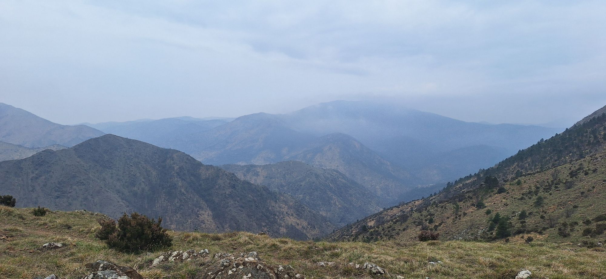
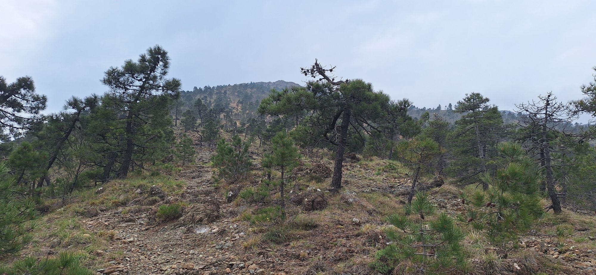
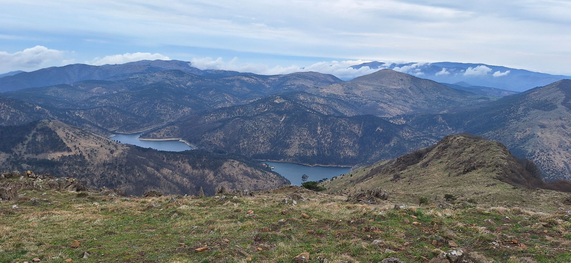

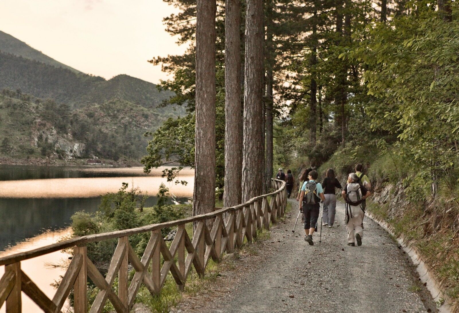
The itinerary winds through the Capanne di Marcarolo Natural Park and the Natura 2000 Network site IT1180026 "Capanne di Marcarolo", both included in the Protected Areas of the Piedmontese Apennines.
Already...
Already in Roman times the Marcarolo plateau was a place of exchange and a road junction where the so-called "vie del sale - salt roads" or "marenche" (of the sea) connected the Po Valley with the Ligurian Riviera and specifically with the city of Genoa. In 1200 the Cistercian grange of Bruvera or Riversa was founded, which later took the name of Benedicta, contributing to the widespread diffusion of agriculture and sheep farming, deeply transforming the ecosystem and favouring the settlement of scattered farmsteads that can still be recognized today and that would last as the productive system until after the Second World War. The Ecomuseum of C.na Moglioni was created to protect and make the cultural heritage linked to the peasant tradition known. The Benedicta also played a role in more recent history, as it was in fact the scene of the partisan massacre that occurred in the spring of 1944, following a raid that affected a vast area of the Apennines and ended with the shooting and deportation of captured partisans. To commemorate these events, the project "La Benedicta Parco della Pace" was born, which includes the monumental area, a dedicated itinerary, a documentation centre, and a museum that is still under construction. The itinerary can be travelled by mountain bike for long stretches. The section between Laghi della Lavagnina artificial lakes and Monte Tobbio is not recommended - alternatively you can go up to Capanne di Marcarolo using the dirt road that corresponds to the itinerary and return to Passo della Bocchetta along provincial roads nos. 165, 166 and 160.


1st stage. In case of departure and arrival from Voltaggio: ancient Apennine village embellished with numerous Genoese style buildings, Museum of Rural Civilization, Capuchin Picture Gallery (canvases of important Genoese painters). Cascina Nespolo and ancient fruit chestnut trees. Common to all stages - Capanne di Marcarolo Natural Park: high geological interest, contact area between the Alpine chain and the Apennine chain, important outcrops of ophiolitic rocks and related floristic endemisms.
2nd stage - Gorzente torrent and lakes (along the route). Capanne di Marcarolo hamlet (stop point): C.na Moglioni Ecomuseum and La Benedicta historical site, Mulino Vecchio and Mulino Nuovo reachable on foot in 15 - 30 minutes depending on the accommodation chosen. Upper huts of Marcarolo, Church of the Assumption.
3rd stage - Bano archaeological area. Detour to Lerma: Castle and "ricetto" (22nd century), reachable in an hour from Cirimilla (4.3 km) 4th stage - Self-guided nature trail "Laghi della Lavagnina" (along the route). Detour to the Ferriere mining site, reachable from Lago Inferiore della Lavagnina in 15 - 30 minutes (approximately 500 m - 1 km). Guided tour of the mines to be booked by sending an email to info@areeprotetteappenninopiemontese.it;
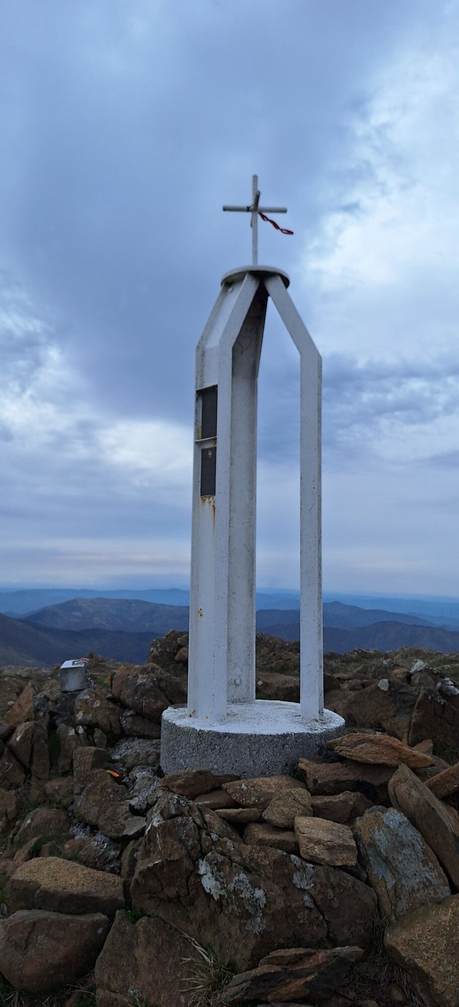
5th stage - Monte Tobbio: on the top the church of Maria Santissima di Caravaggio (along the route)
Comfortable trekking shoes and light clothing are recommended if the excursion is done in the summer months. Given the low altitude difference of the route, a technical fleece and a rain cape are sufficient.
Nothing to report
For the Capanne di Marcarolo area: A7 (Milan-Genoa) exit Serravalle Scrivia (AL); continue towards Gavi, Bosio, Mornese. Between Bosio and Mornese deviation for Capanne di Marcarolo (SP165).
A26 (Gravellona–Genoa) exit Masone (GE); continue towards Campo Ligure (GE); in Campo Ligure detour to Capanne di Marcarolo (SP69).
A7 (Milan-Genoa) exit Genova Bolzaneto; continue towards Campomorone (GE). From Campomorone detour to Piani di Praglia (SP4).
For the municipality of Lerma - A26 (Gravellona–Genoa) exit Ovada (AL); continue towards Belforte Monferrato and then towards Lerma along the SP 170.
Immediately after the bridge over the Piota stream, turn right and reach the Cirimilla area.
The optimal period for visiting the Capanne di Marcarolo is between April and October. During the summer months, which can be very hot, hiking during the cooler hours of the day is recommended.
Priljubljeni izleti v okolici
Gently rolling lands between Gavi and Dolcetto
srednjaKolesarjenje 38.2 kmLibarna and Alto Monferrato by bike
težkoMountainbike 47.8 kmSentiero anello di Bandita - Sentiero 561 in camminata
Romarska pot 18.9 kmSentiero "Via del Monte Rotondo" - Sentiero 554 in mountain bike
Mountainbike 3.83 kmSentiero anello di Bandita - Sentiero 561 in mountain bike
Mountainbike 18.9 kmSentiero anello di Olbicella - Sentiero 558 in camminata
Romarska pot 13.0 kmSentiero Cassinelle - Monte del Ratto - Sentiero 561A in camminata
Romarska pot 5.51 kmSentiero anello di San Luca- Sentiero 559 in camminata
Romarska pot 10.9 kmSentiero Cassinelle - Monte del Ratto - Sentiero 561A in mountain bike
Mountainbike 5.51 kmSentiero anello di Olbicella - Sentiero 558 in mountain bike
Mountainbike 13.0 km

Pohodništvo in sledenje


Ne zamudite ponudb in navdiha za naslednje počitnice
Vaš e-poštni naslov je bil dodan na poštni seznam.





