






SP_03 Passo della Cappelletta – Monte Góttero – Foce dei Tre Confini – Passo della Cappelletta
From the pass follow the “Alta Via dei Monti Liguri” (AVML) southward, along the grassy watershed between Vara and Taro valleys. Reach Passo del Lupo (1155 m); go up along a dirt road till Bocca del Lupo...
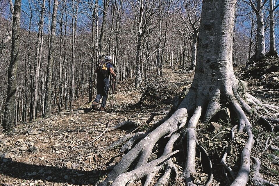
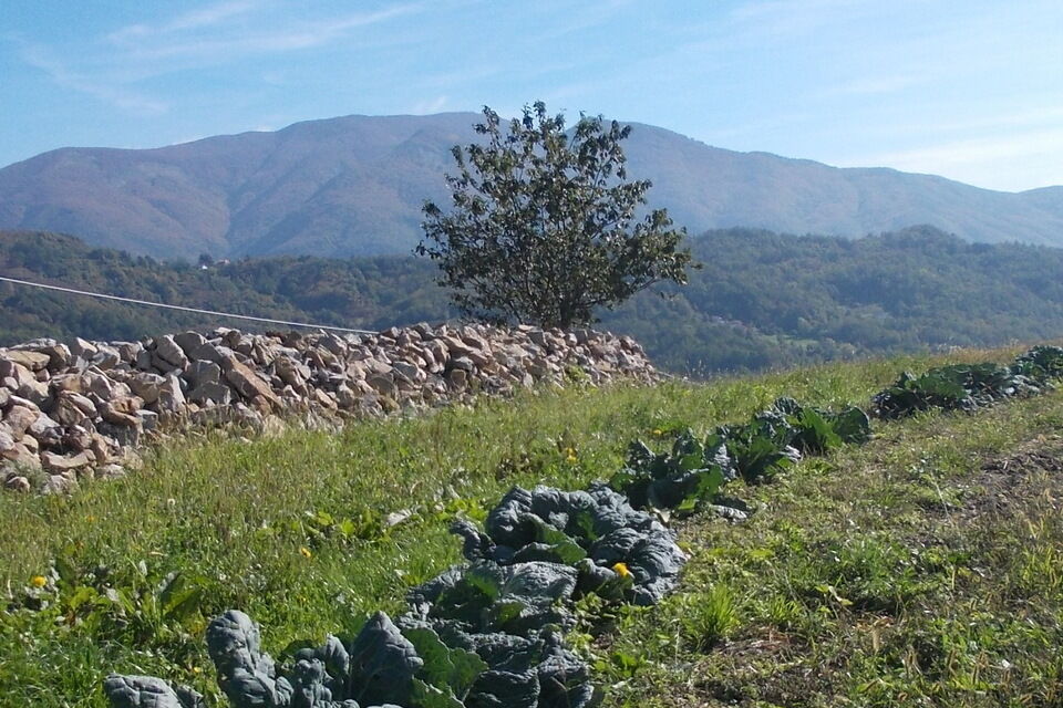
From the pass follow the “Alta Via dei Monti Liguri” (AVML) southward, along the grassy watershed between Vara and Taro valleys. Reach Passo del Lupo (1155 m); go up along a dirt road till Bocca del Lupo (woodland, 1257 m). Reach a crossroad (1300 m) and follow to the right the sign trail “AV2”, along the watershed till the top of Monte Góttero (1639 m; iron cross, since 1933, and a trigonometric sign). The panorama is very wide: in clear days it's from Pianura Padana to the Corsica island, from Alpi Apuane to Alpi Marittime. Descent: follow the path eastward till the crossroads Foce dei Tre Confini (1416 m). In past times it was very important pass because of the presence of “Via Regia” linked S. Santo Stefano Magra and Ceparana with Parmense. The place name is due to the ancient presence of the border of three states in this point: Regno di Sardegna, Ducato di Parma and Granducato di Toscana. Today here is the border of Liguria, Emilia Romagna and Toscana. At Foce dei Tre Confini turn left, follow toward north west the AVML to come back to Passo della Cappelletta.


by public bus, from Sestri Levante to Varese Ligure (bus line ATP, n° 50; www.atpesercizio.it); from Varese Ligure to the Passo di Cento Croci: bus line ATC (www.atcesercizio.it).
from Sestri Levante follow the road SS 523 as far as Varese Ligure. From here reach the Passo di Cento Croci. Before reach the pass take in the right the road to Passo della Cappelletta (1085 m; wind turbines).
Nature and Landscape * * * * Family * * * * Gourmet * * * Culture * * * *
Priljubljeni izleti v okolici
-
GE_01 Sanctuary of Velva - Monte Alpe di Maissana
težkoPohodništvo 14.4 km -
SP_16 La Valle Lagorara
Pohodništvo 11.9 km -
SP_09 Anello di Varese Ligure
Pohodništvo 23.1 km -
SP_02 I monti Dragnone e Castellaro
Pohodništvo 6.37 km -
Trail no. 40: Passo di Rastello - Valico di Casoni
Pohodništvo 9.97 km -
Trail no. 38: Passo della Cappelletta - Passo Calzavitello
Pohodništvo 12.5 km -
Trail no. 37: Passo di Cento Croci - Passo della Cappelletta
Pohodništvo 5.02 km -
Trail no. 36: Colla Craiolo - Passo di Cento Croci
težkoPohodništvo 14.5 km -
Trail no. 39: Passo Calzavitello - Passo di Rastello
Pohodništvo 4.84 km -
Long Loop
srednjaMountainbike 21.8 km

Pohodništvo in sledenje


Ne zamudite ponudb in navdiha za naslednje počitnice
Vaš e-poštni naslov je bil dodan na poštni seznam.





