


Diano Terre Blu (Diano Marina)
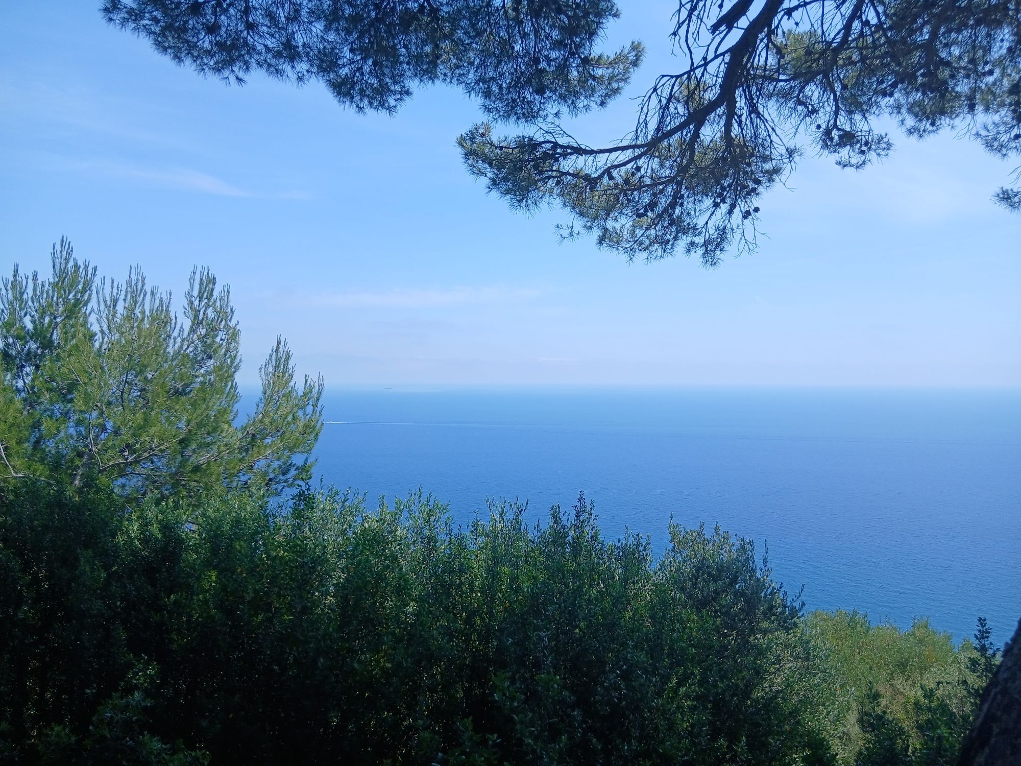
The route is called "Terre Blu" ("Blue Land") because from it you can see the sea and the mild climate usually provides a bright blue sky. The trail crosses the Ciappà Park and leads up to the hill "Colle...
The route is called "Terre Blu" ("Blue Land") because from it you can see the sea and the mild climate usually provides a bright blue sky. The trail crosses the Ciappà Park and leads up to the hill "Colle Dico", which offers an impressive view of the island of Gallinara. Afterwards, a mule track gently descends through the tranquil villages of Chiappa, Molino del Fico and Pairola, before another ascent challenges even experienced cyclists.

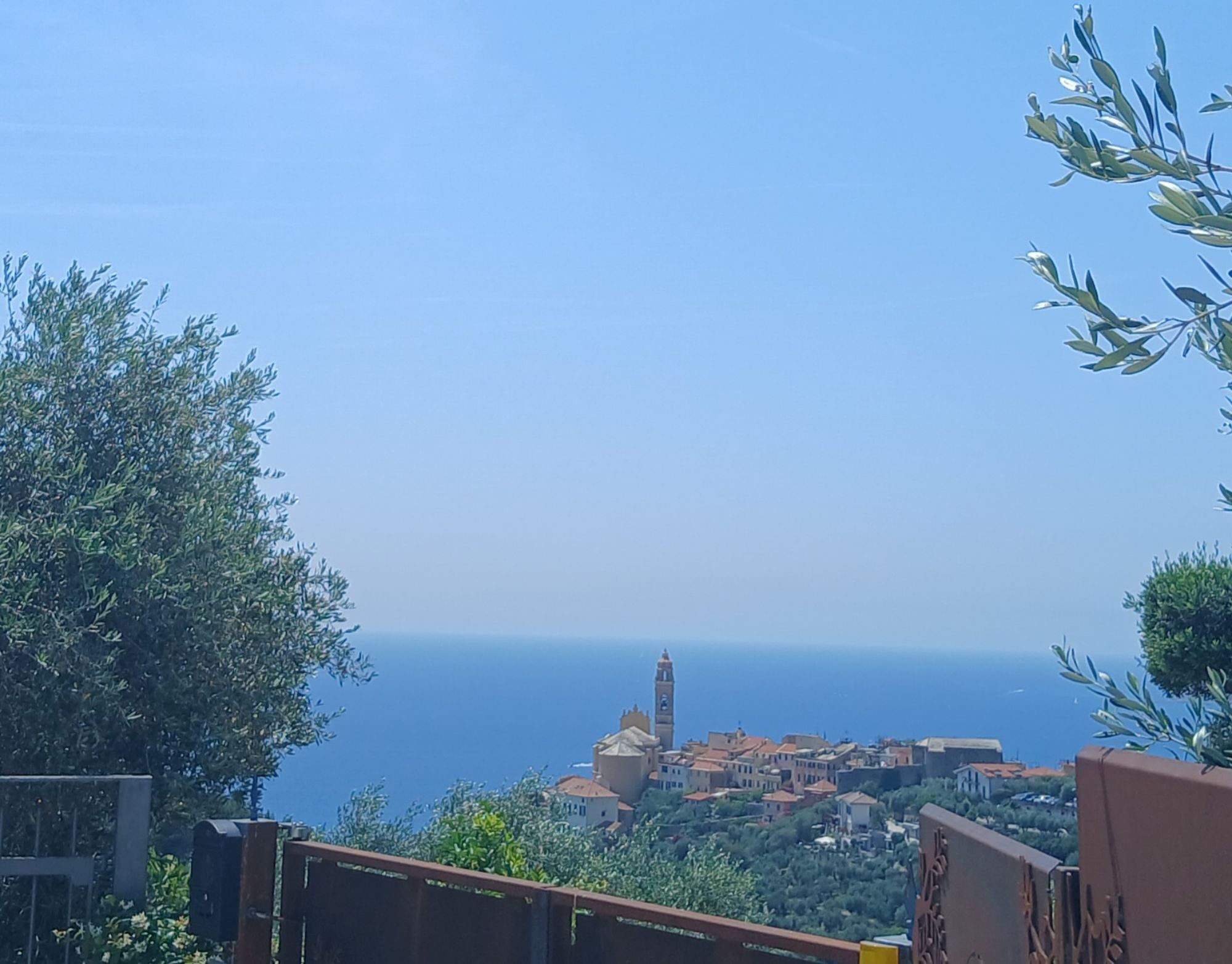
The route starts near Diano San Pietro at about 400 m altitude, roughly 100 m below the summit of Monte Quagli. From there, the trail initially winds inland, until about 7 km later it returns near the coast via a hairpin bend. It runs on hilly terrain with gentle ascents and descents towards Diano Arentino. After nearly 17 km it reaches Diano Serreta and continues downhill to Diano Gorleri. After about 20 km, we cross the A10 motorway via a paved overpass and reach after a total of 20 km the coastal town and lowest point of the route, the municipality of Diano Marina. We leave the town northward via the state road SS 1 and reach after a few kilometers on the paved road directly the municipality of San Bartolomeo al Mare. Afterwards, the route leads gently uphill again via Cervo and Capo Mimosa, before it turns inland and after about 30 km crosses the motorway again. Over several hills and hairpin bends we now reach Chiappa. After another 2 km we reach a valley floor before the route climbs again to Pairola about 2 km away. From here, around 8 km and 360 meters of elevation separate us from the start and end point of the route.
Da
Priljubljeni izleti v okolici
- 4,0
SV_27 Via Julia Augusta
Pohodništvo 8,63 km - 4,0
IM_11 Ring path of Pizzo d’Evigno
Pohodništvo 10,8 km - 4,0
Colle di Cervo, Rundweg ab Cervo
srednjaPohodništvo 7,54 km - 5,0
Alassio Rundweg
svetlobaPohodništvo 15 km Albenga-Alassio via Julia augusta
svetlobaPohodništvo 9,45 kmDolcedo-Valloria, Italien
svetlobaPohodništvo 11,2 km- 5,0
Passeggista dei Ponti / Santa Brigida in Dolcedo, Ligurien/Italien
Pohodništvo 7,59 km Leg 24 from Andora to Cervo
Pohodništvo 9,88 kmSan Rocco Antennas
težkoMountainbike 21,0 kmLeg 25 from Cervo to Imperia
Pohodništvo 13,4 km

Pohodništvo in sledenje


Ne zamudite ponudb in navdiha za naslednje počitnice
Vaš e-poštni naslov je bil dodan na poštni seznam.