







A relaxing walk around Béhuard

Stopnja težavnosti: T1
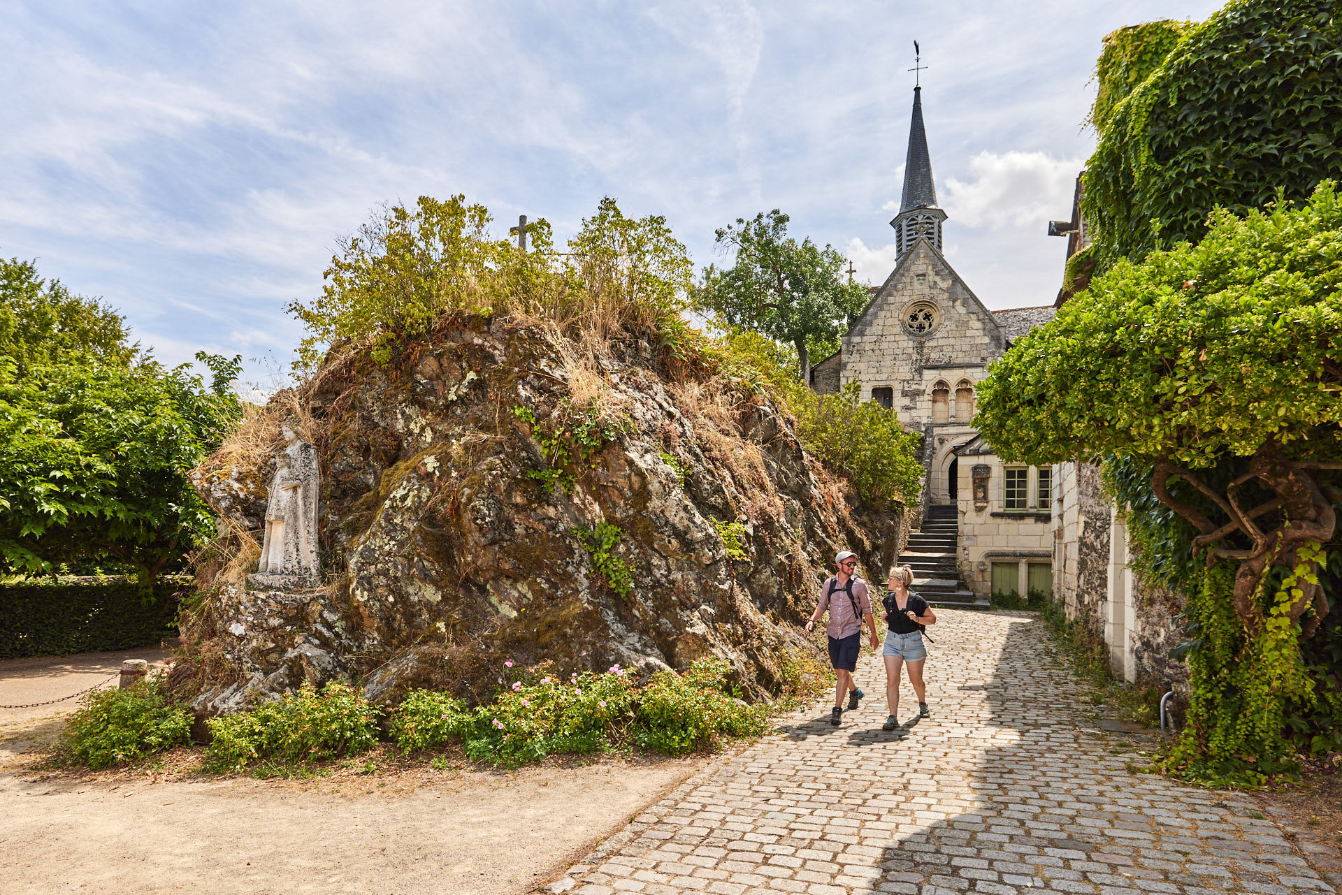
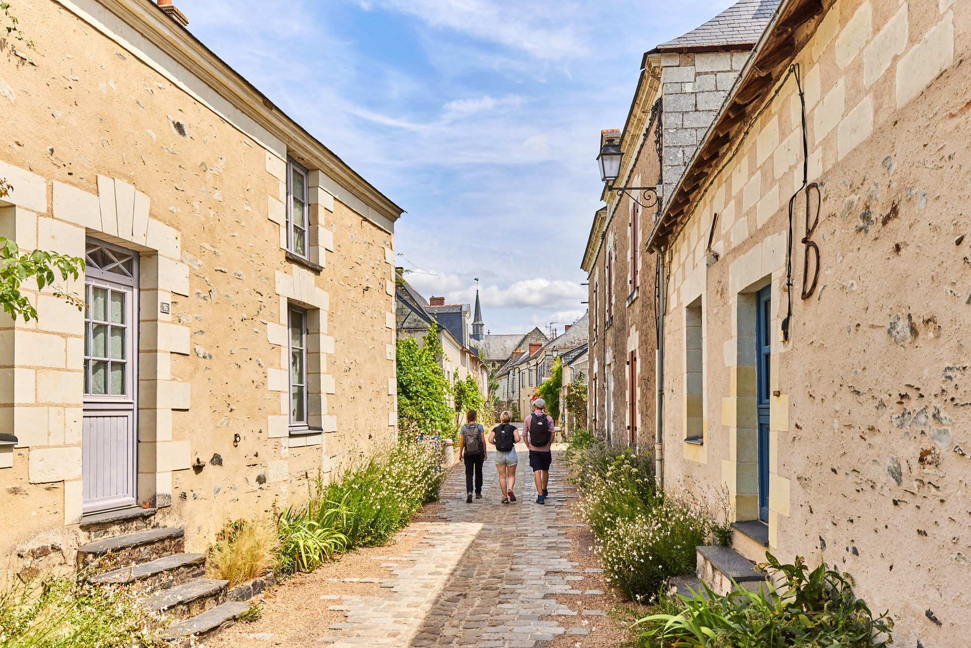
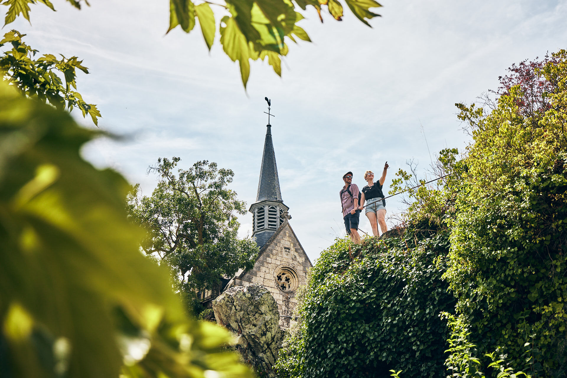
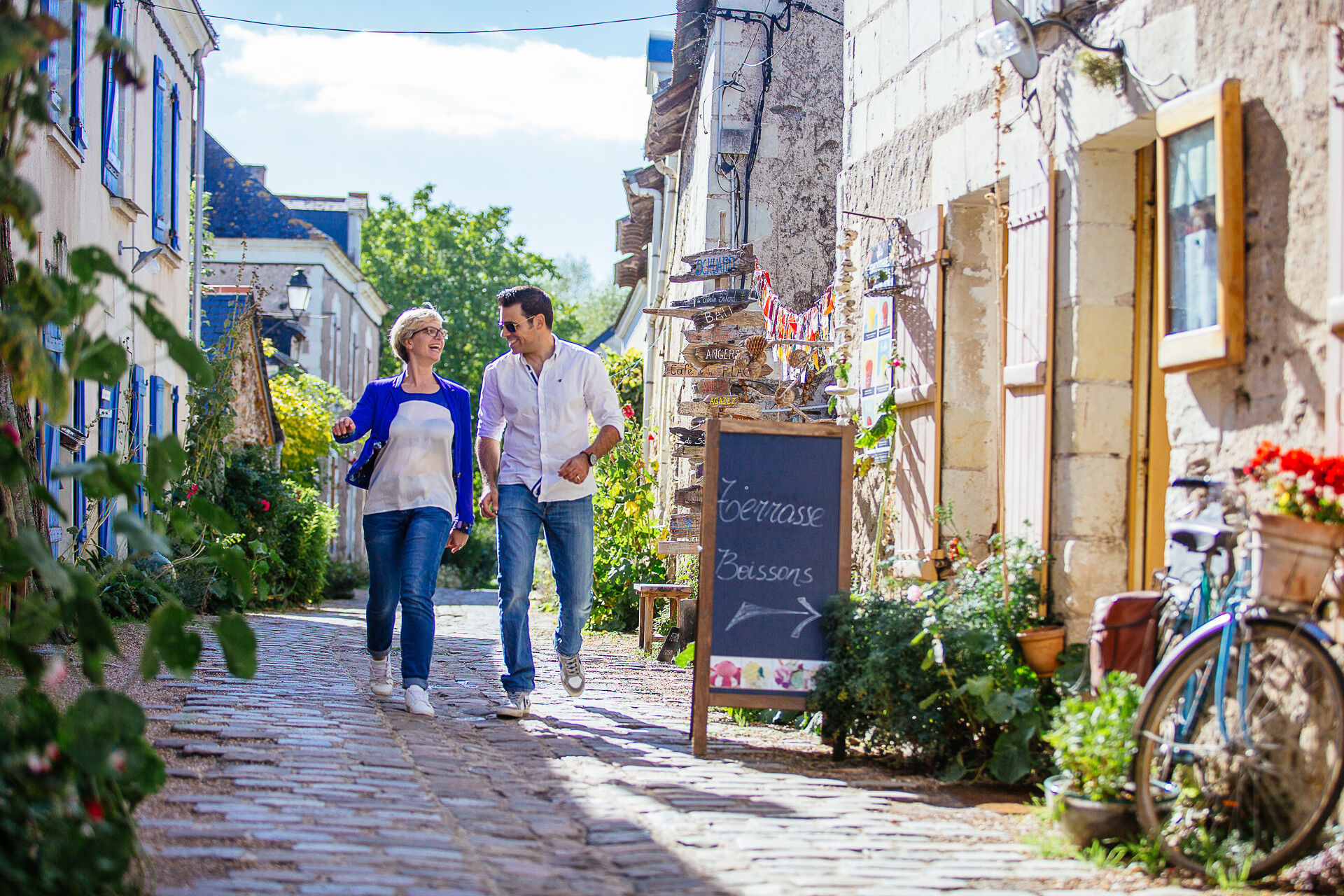
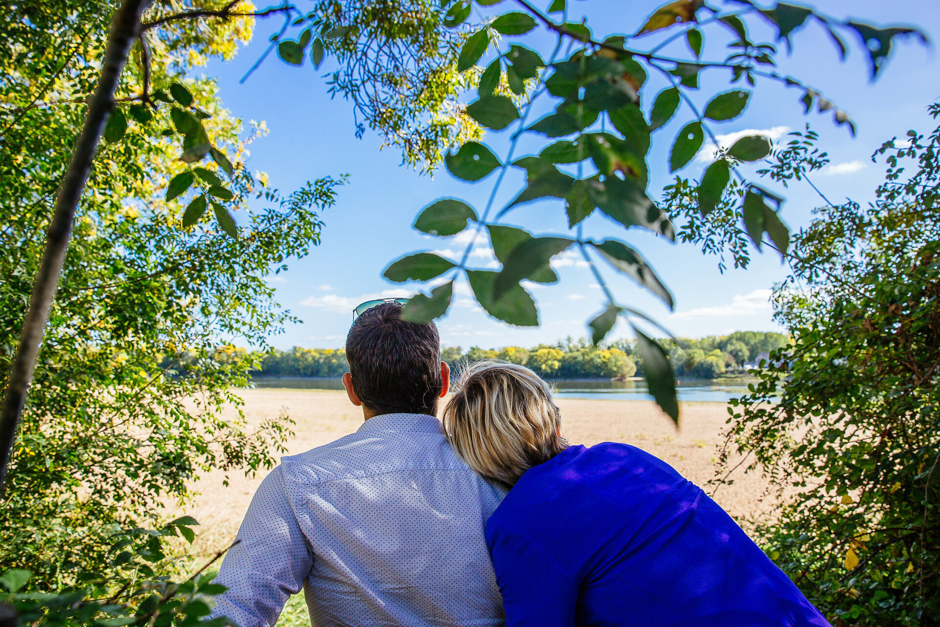
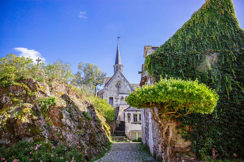
The trail allows you to discover the island's rich and varied landscapes.
Tourist attractions :
- Béhuard is also known as a spiritual stopover. A major pilgrimage site, it was King Louis XI who ordered...
Tourist attractions :
- Béhuard is also known as a spiritual stopover. A major pilgrimage site, it was King Louis XI who ordered the construction of the Notre-Dame de Béhuard chapel. Today, many believers take communion together on the Marian feast day of August 15.
- For many years, the Loire was the preferred route for merchant traffic, and in summer, its many groynes have facilitated navigation.
Facilities available:
- Toilets and tables in the Droits de l'Homme parking lot
- Picnic tables along the Guillemette branch of the Loire.
Starting point :
- Parking des Droits de l'Homme
Practical information :
- Trail not passable during flood periods
- Bicycle trail
Circuit marked out in mauve.


Route marked in purple.
Da
Angers and its surroundings, rich in confluence landscapes, are sometimes subject to flood risks throughout the year. Some trails may be temporarily impassable, remain vigilant.
In case of emergency, dial 112.
Consider carpooling.
Parking near the starting point.
T1
Be vigilant, especially when crossing roads or alongside them, but also at any time in nature. It can sometimes present dangerous passages, flooded areas, steep sites, or slippery paths.
Follow marked paths to avoid getting lost and to limit soil erosion and damage to natural habitats. Pay attention to the markers and if in doubt, do not hesitate to retrace your steps.
Do not pick protected species and remain discreet to avoid disturbing wildlife.
Some trails are used by cyclists, be careful.
This route and the associated GPX track may in no case be shared without mentioning Destination Angers.
Priljubljeni izleti v okolici
- 4.0
The Anjou loop of La Loire à Vélo - with bac de la Chevalerie
svetlobaKolesarjenje 39.1 km - 4.0
Walk around Saint-Martin-du-Fouilloux
svetlobaPohodništvo 10.7 km - 4.0
Bucolic walk around Saint-Léger-de-Linières
svetlobaPohodništvo 8.11 km La Roche de Murs
svetlobaPohodništvo 5.14 kmLake, pond and tributary
svetlobaPohodništvo 18.5 kmTo the confluence of the Loire and the Maine
svetlobaPohodništvo 18.0 kmThe Savennières vineyards
svetlobaPohodništvo 9.59 km- 4.0
The Aprilis trail
svetlobaPohodništvo 12.2 km The Loire and the horticultural fields
težkoPohodništvo 19.5 kmLa Vélo Francette - from Longuenée-en-Anjou to Loire Authion
srednjaKolesarjenje 55.8 km
Pohodništvo in sledenje


Ne zamudite ponudb in navdiha za naslednje počitnice
Vaš e-poštni naslov je bil dodan na poštni seznam.





