


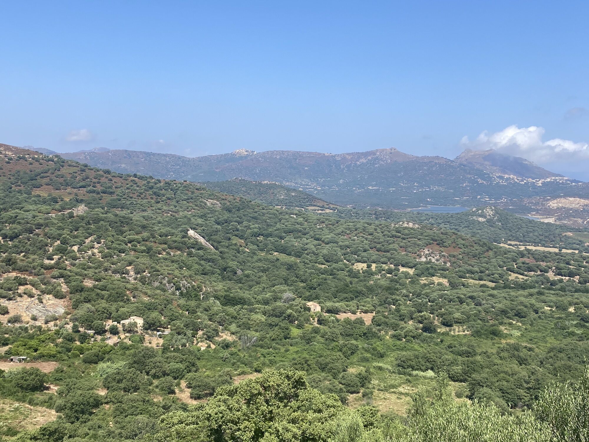
7 - Grand tour des Pieve
Stopnja težavnosti: 4

Before you set off:
Make sure your bike is in perfect mechanical condition, including the tires and brakes Ensure the bike is properly adjusted to your body shape Wearing a helmet is strongly recommended Take a repair kit with you Remember that the Highway Code applies to cyclists at all times Never ride more than two abreast, and keep in single file when traffic conditions require it Respect other road users as you would like them to respect you Choose a route suited to your physical abilities Inform those around you of your itinerary Check weather conditions A first aid kit is not essential but can be very useful Know and keep emergency contact numbers. Respect the environment by not throwing your food wrappers on the roadside If you must return at nightfall, make sure you can see and be seenEmergency number: 112
Parking near the starting point
4
Weather forecast: check the weather forecast before leaving on +33(0)3250 or +33(0)8 99 71 02 00
Avoid hiking in thunderstorms or windy conditions because of the fire risk
Avoid hiking if you see fire smoke even in the distance
Take water with you
Bring good hiking shoes and something to protect you from the sun and rain.
Watch out for the train for paths passing near the railway line
Keep dogs on a leash
If the ground is wet, be careful as the trails are often stony and can be slippery.
Respect the path of the trails, do not use short cuts to protect vegetation and prevent erosion
Do not damage fences, plantations, and do not disturb pets or herds.
Please note that the picking of certain plants is prohibited.
Do not leave any traces of your passage by taking your waste to a waste collection point, and think about sorting.
Find out about the hunting season
Do not hesitate to call on hiking professionals. Your Tourist Office works with qualified guides.
Priljubljeni izleti v okolici
-
4.0
Hike 17 : Monte Astu
težkoPohodništvo 12.9 km -
4.0
Hike 6: Giru L'Île-Rousse - Sta Reparata - Monticello
srednjaPohodništvo 12.0 km -
3.0
Hike 7: Loop around the Codole dam
svetlobaPohodništvo 11.4 km -
5.0
Hike 4: Tour of the Cima Sant'Anghjulu
težkoPohodništvo 8.76 km -
5.0
Rando 31: Saleccia loop
svetlobaPohodništvo 11.2 km -
3.0
Hike 1: Corbara - Pigna - Varcale
svetlobaPohodništvo 10.1 km -
5.0
Rando 42: Algajola loop
svetlobaPohodništvo 7.16 km -
KORSIKA Pocca di Col de Batagglia 20190914
svetlobaPohodništvo 3.15 km -
5.0
Trail 16: Giru di a punta Liatoghja (L'Agriate)
svetlobaTrailrunning 14.8 km -
5.0
Hike 38 : Giru di a cima Tornaghja
svetlobaPohodništvo 8.58 km
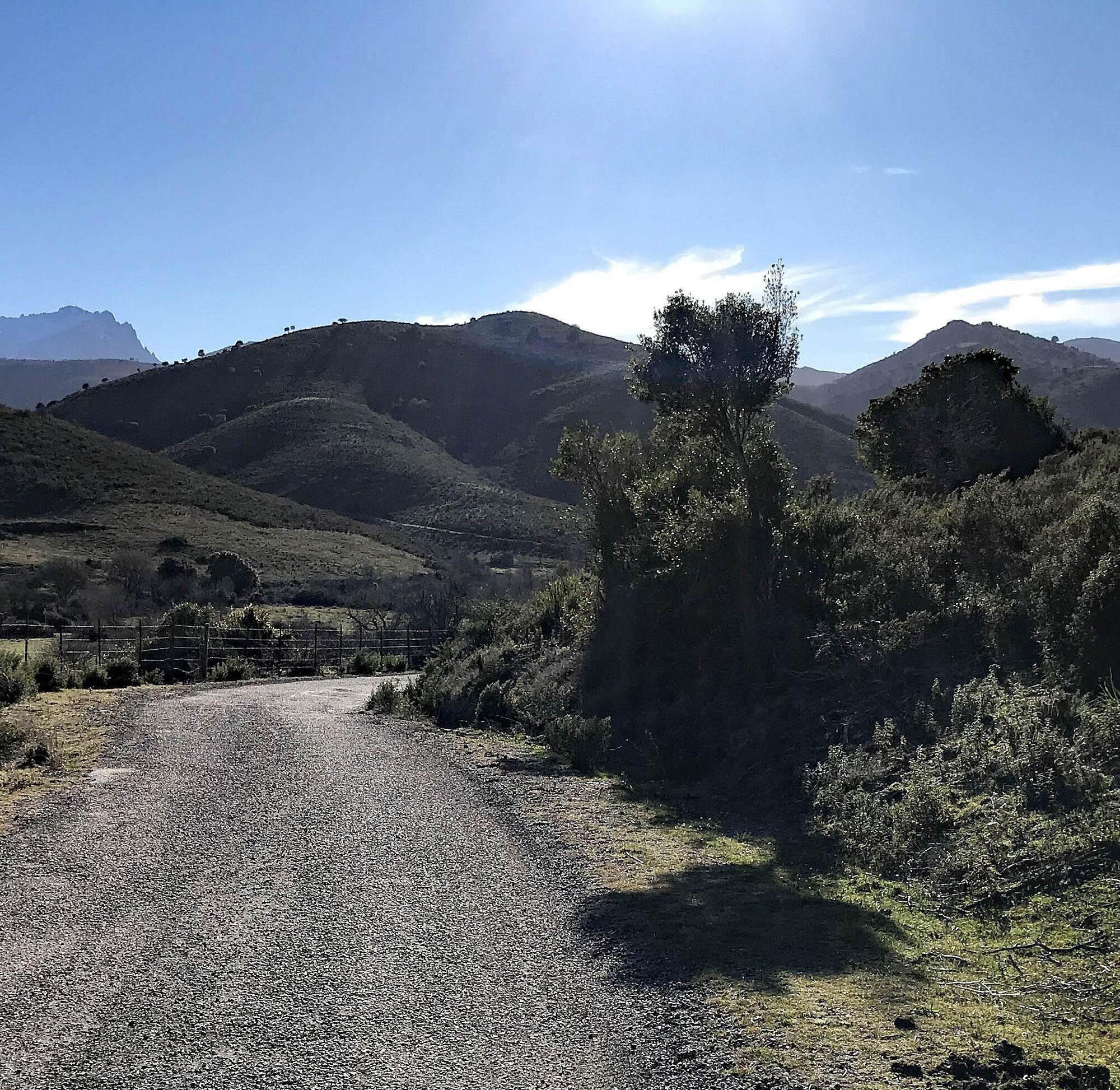
Pohodništvo in sledenje


Ne zamudite ponudb in navdiha za naslednje počitnice
Vaš e-poštni naslov je bil dodan na poštni seznam.