







Hike to the gold mining facilities and to Kegelsee

Along this path, you discover some sites of gold mining, such as the wage table or the Grasleiten tunnel. In the Goldberg group, mining for precious metals began in ancient times and resumed intensively...
Along this path, you discover some sites of gold mining, such as the wage table or the Grasleiten tunnel. In the Goldberg group, mining for precious metals began in ancient times and resumed intensively from the late Middle Ages. Approximately 60 tons of gold, alongside silver and other metals, were extracted in the Goldberg group.
In the mid-17th century, the mines were closed for several reasons. These reasons were: gradual depletion of deposits and massive climate deterioration.
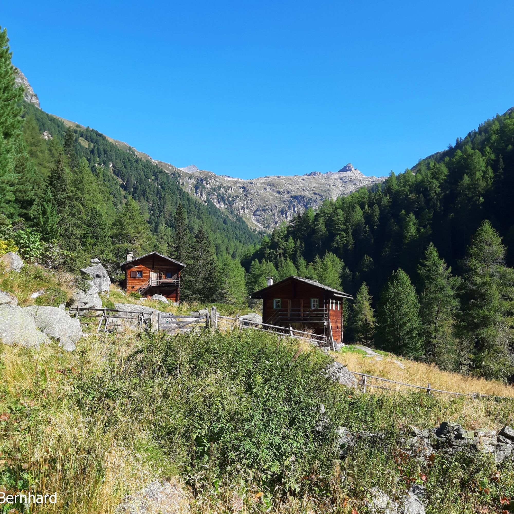
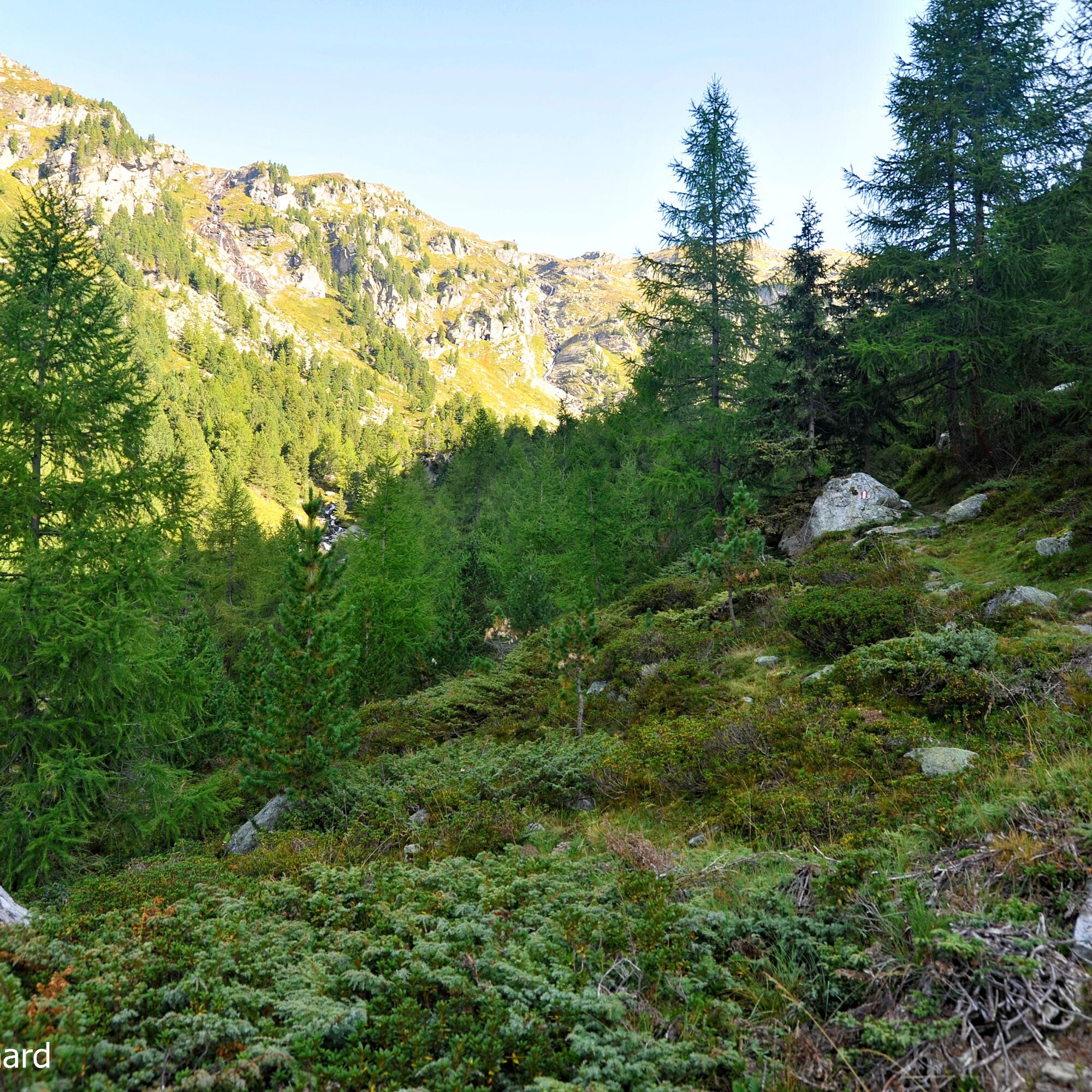
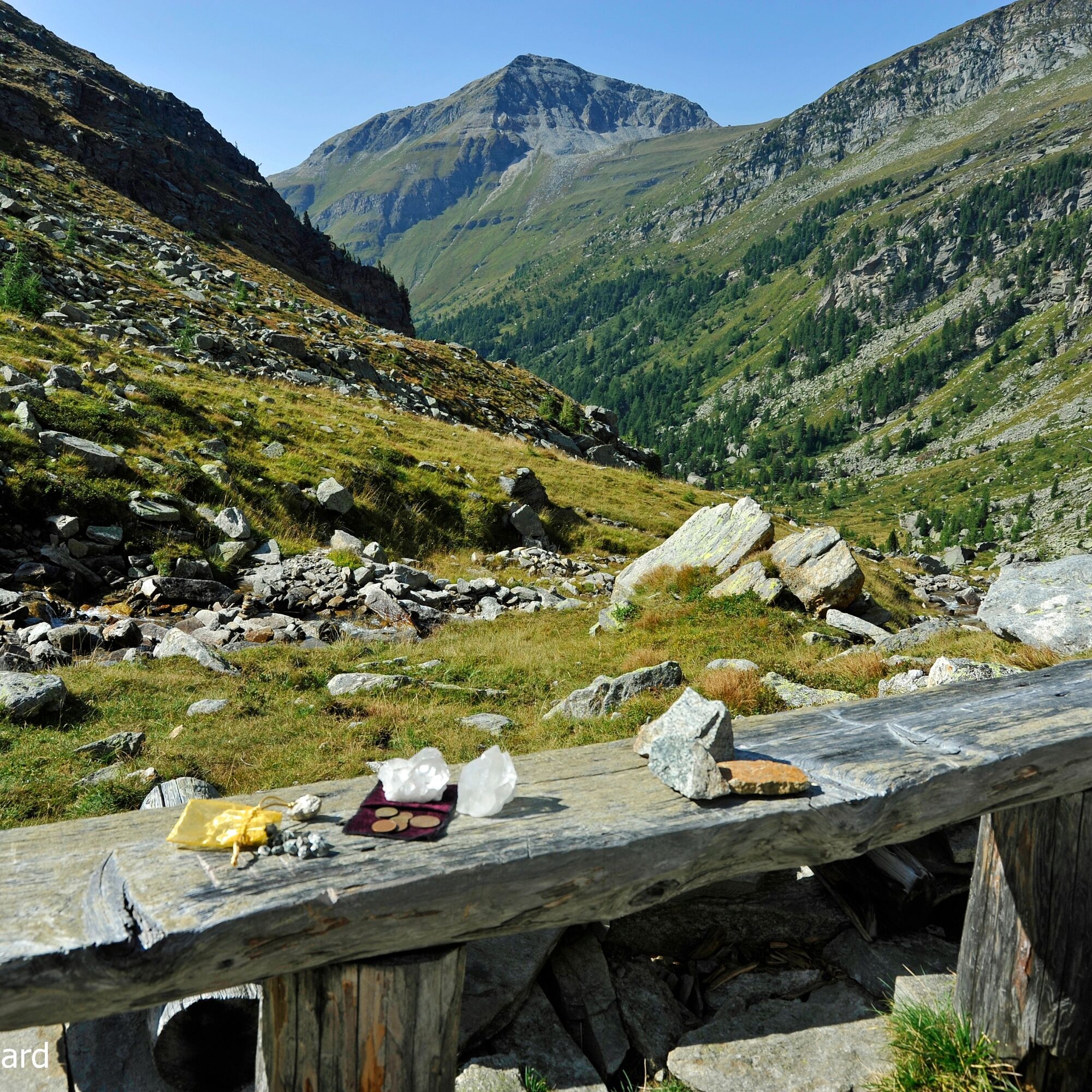
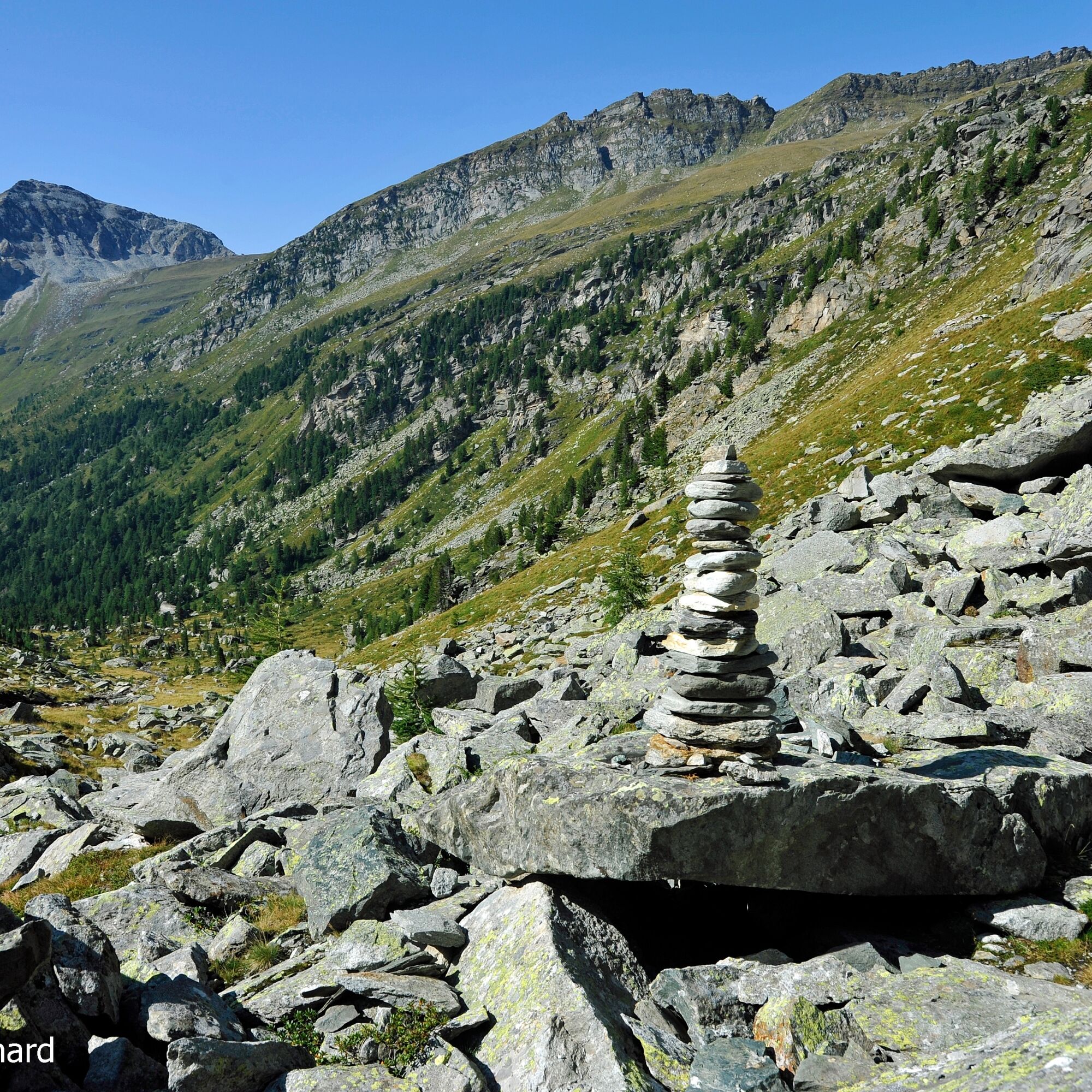
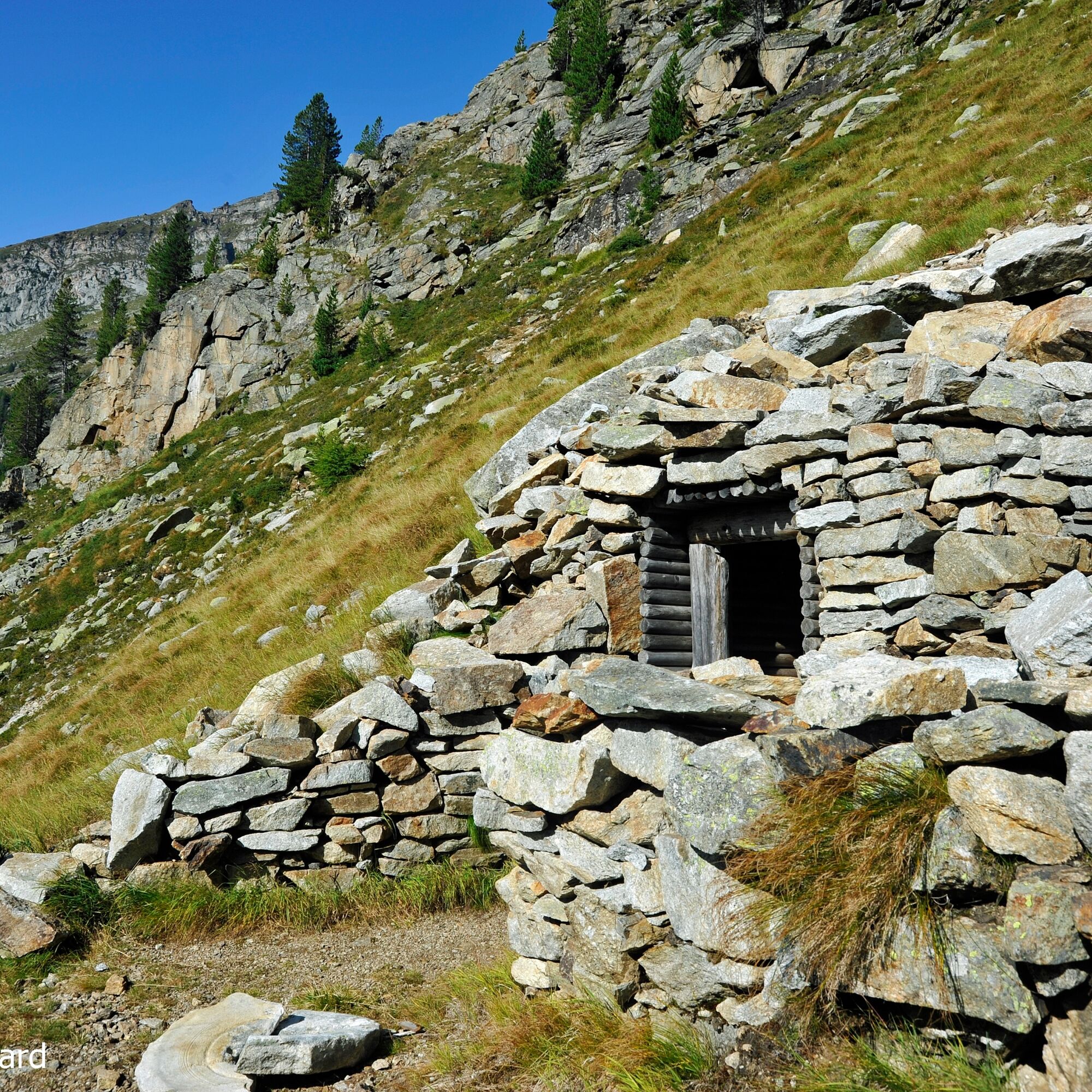
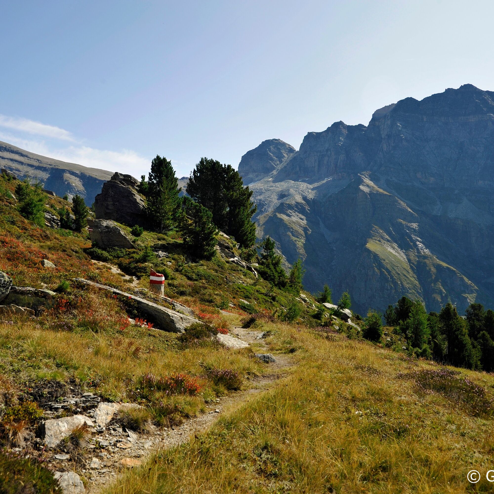
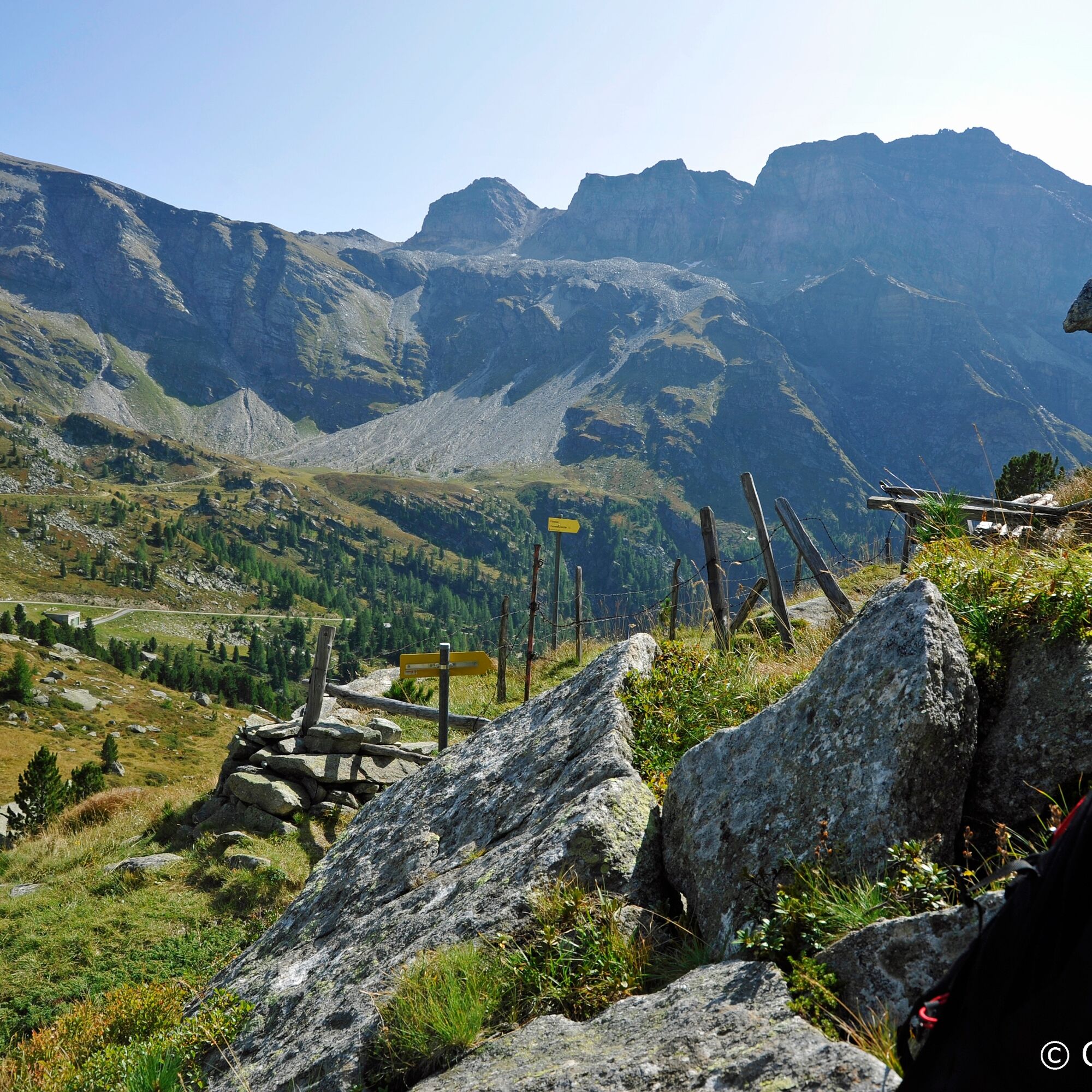
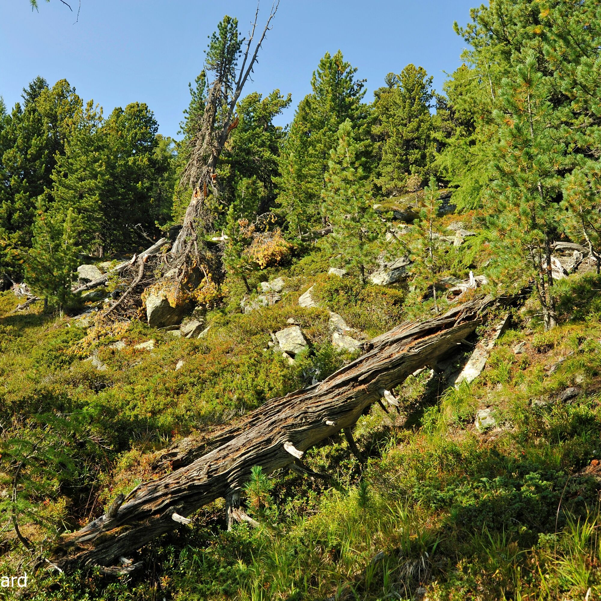
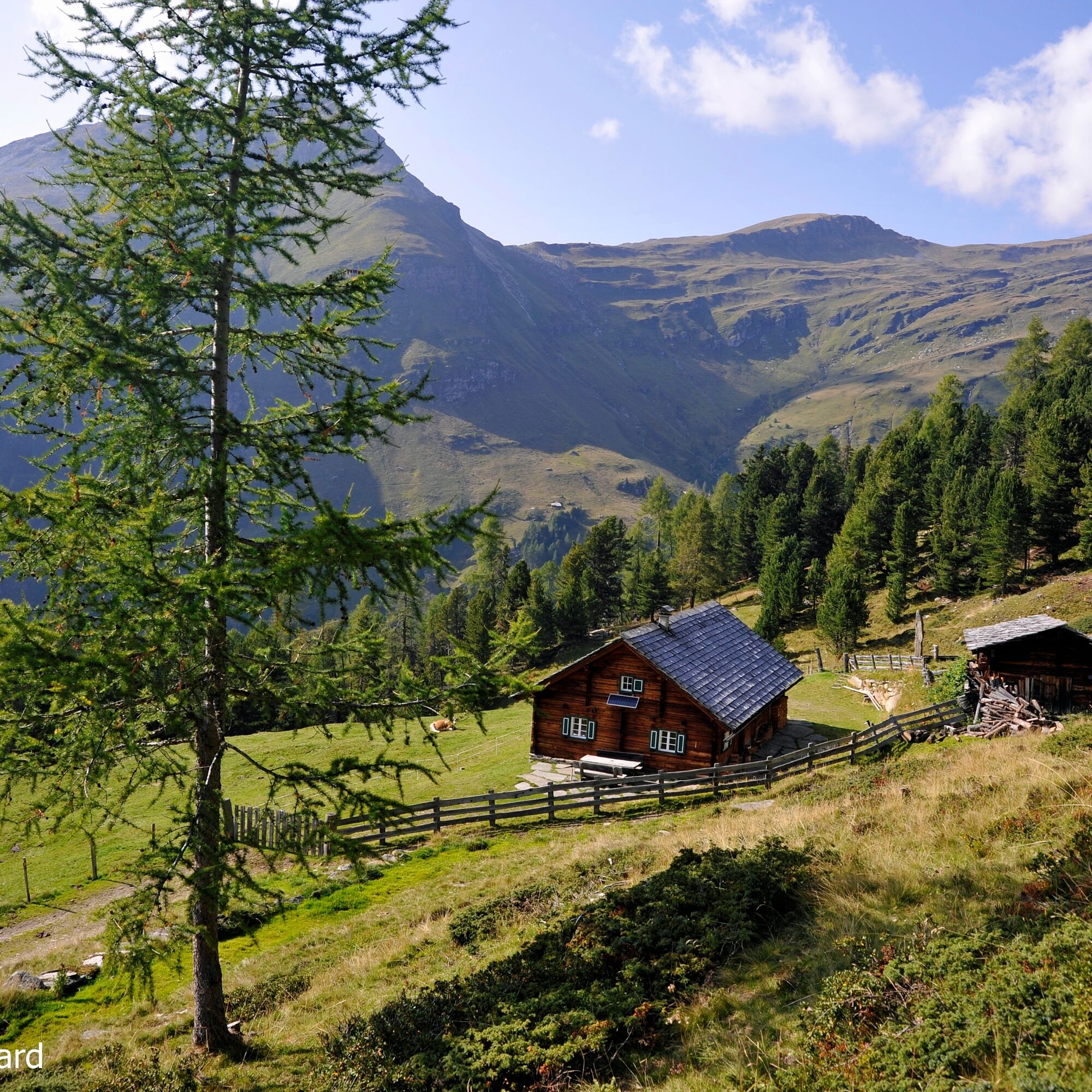

The hike begins at the Großes Zirknitztal parking lot at 1,710 m above sea level. From there, you go over the panoramic path slightly uphill towards the Zirknitztal. Passing a lovingly designed memorial site, you follow the Zirknitzbach downstream. Moderately steep, you pass juniper bushes until, after about 1.5 hours, you reach the "wage table." This commemorates the payment of the miners from the surrounding gold mines.
From the "wage table," it goes about 10 minutes uphill to the left to the gold mining tunnel "Grasleiten," which has been made accessible again.
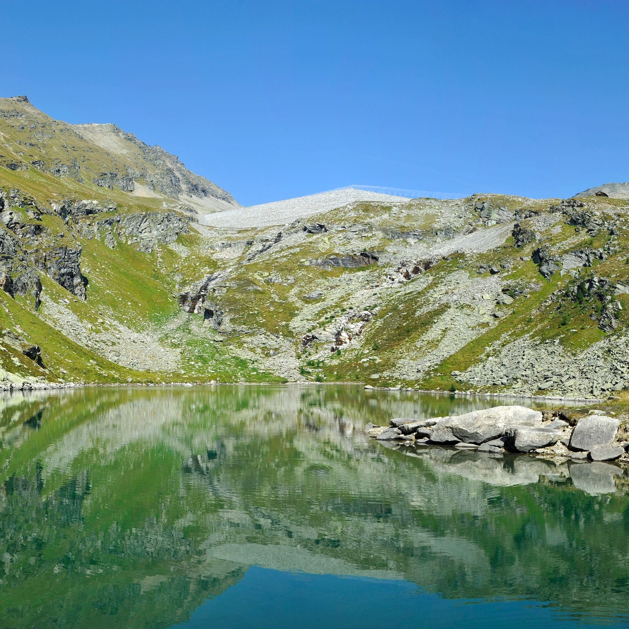
Then continue over the bridge, staying right, a bit steeper uphill towards Kegelsee. A fairy-tale landscape unfolds. Slightly ascending, you continue hiking to the Ochsner hut (2,263 m) and further along the marked panoramic path towards Kegelsee (2,175 m). Those who wish can continue for about 45 minutes towards Großsee.
Return leads via the panoramic path through the Kleine Zirknitztal. A bit steeper downhill, you go through the forest to the Färberkaser (2,049 m), from where you then reach the starting point again.
Weatherproof clothing, good hiking boots, poles; backpack with snacks and drinks
From Großkirchheim, follow the road towards "Zirknitztal."
Free parking lot "Großes Zirknitztal" at 1,710 m above sea level.
Since there are no refreshment options along the path, be sure to pack snacks and drinks in your backpack! Don't forget your camera!



Spletne kamere s turneje



Priljubljeni izleti v okolici
- 4,7
Geotrail Tauernfenster
svetlobaPohodništvo 5,90 km - 5,0
Silberpfennig, Salzburger Land/Österreich
srednjaPohodništvo 13,8 km - 4,9
Astental: Mohar, Moharkreuz
srednjaPohodništvo 9 km - 4,8
Hohe Sonnblick Up
težkoPohodništvo 9,14 km - 4,8
Rifflscharte - Kolmkarscharte - Bockhartscharte - Sportgastein
srednjaPohodništvo 13,5 km - 4,7
Bad Gastein Stubnerkogel-Zittrauer Tisch Rundwanderung
srednjaPohodništvo 18,6 km - 4,5
Bad Gastein-Böckstein-Sportgastein(Schlechtwettervariante)
Pohodništvo 17,2 km - 4,9
Schareck über Ostgrat
težkoVisokogorska tura 13,3 km - 4,9
Krumltal in Rauris September 2020
svetlobaPohodništvo 11,4 km - 4,5
Niedersachsenhaus
srednjaPohodništvo 4,84 km
Pohodništvo in sledenje


Ne zamudite ponudb in navdiha za naslednje počitnice
Vaš e-poštni naslov je bil dodan na poštni seznam.





