







Expedition to the southernmost glacier of Austria
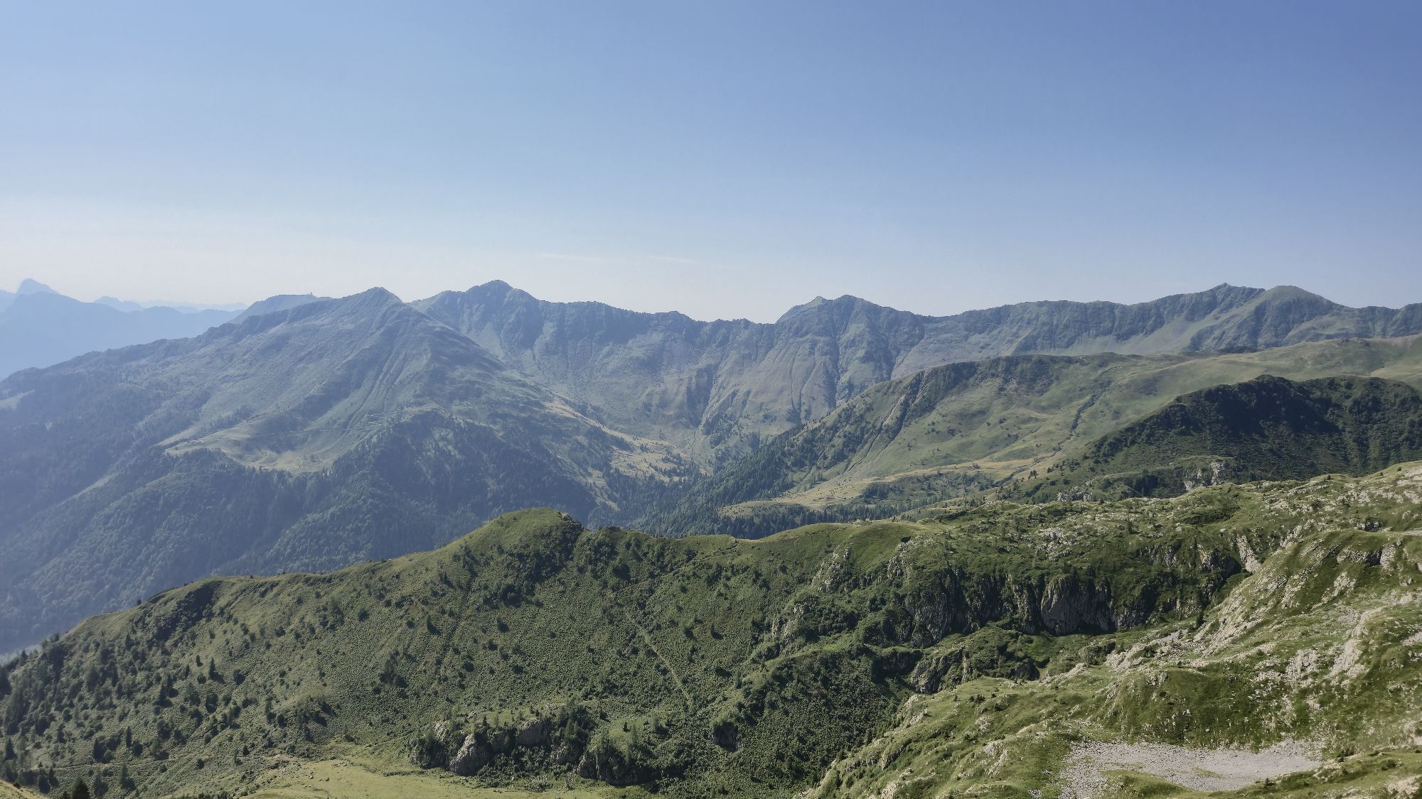
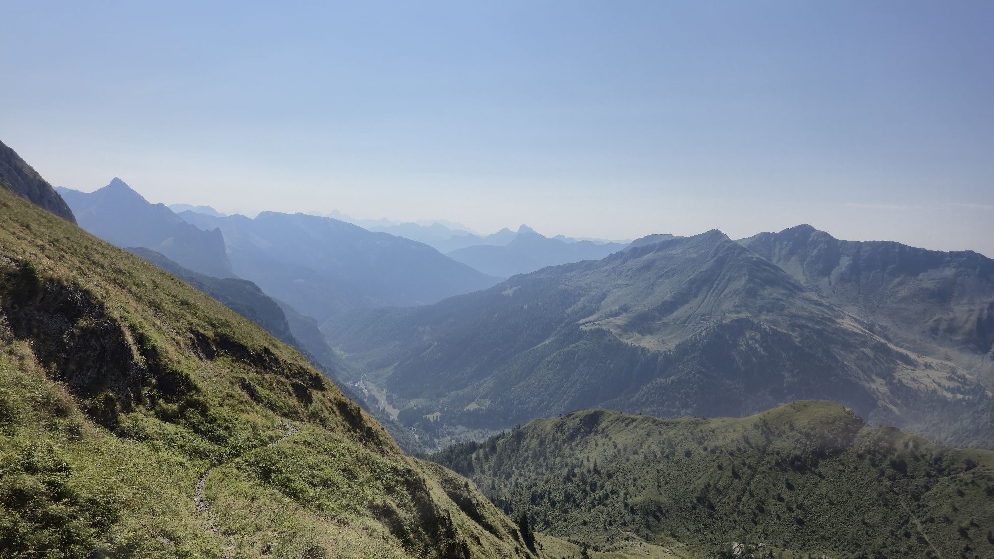
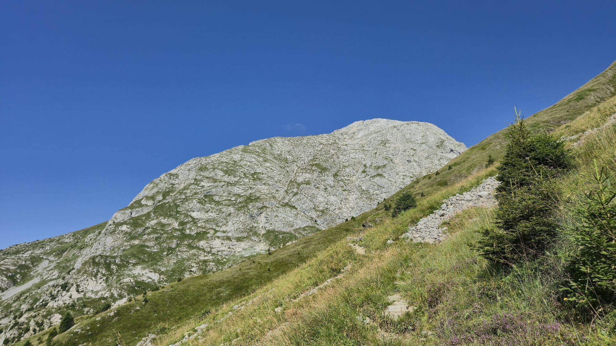
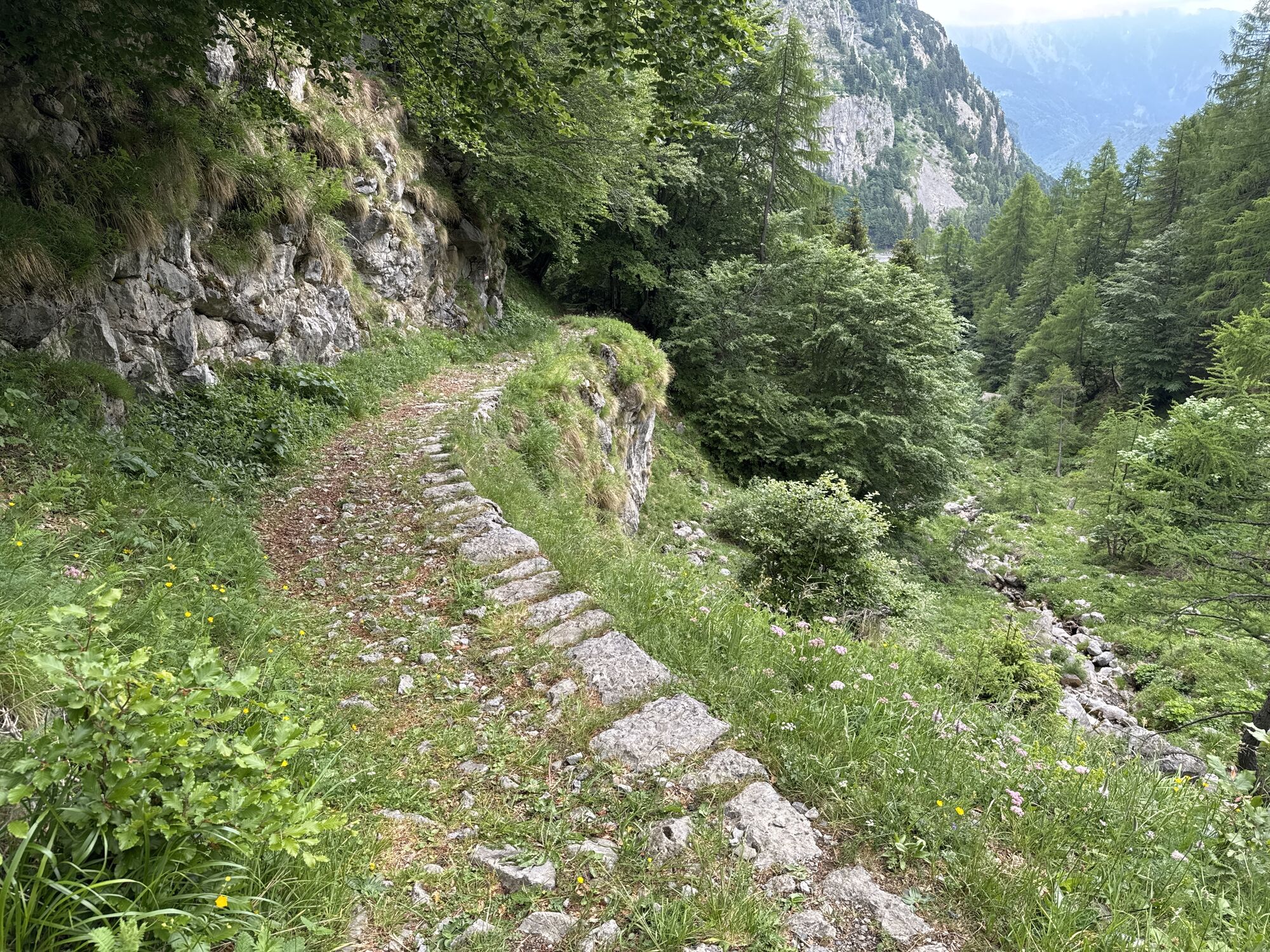
The mountain route into the Eiskar is a journey through human and earth history. Along the entire path to the glacier, old caverns and caves bear witness to the events of World War I. The barely visible...
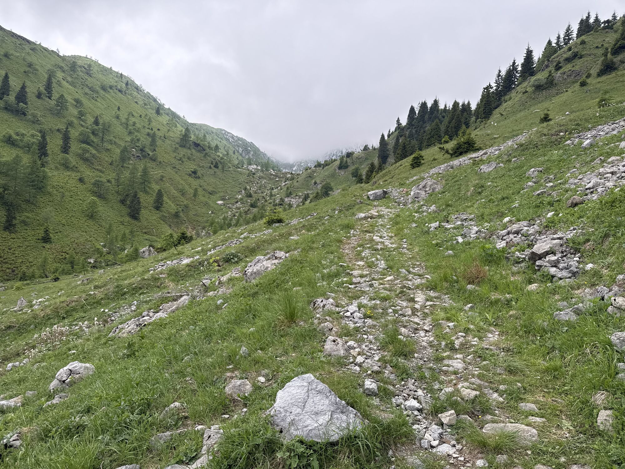
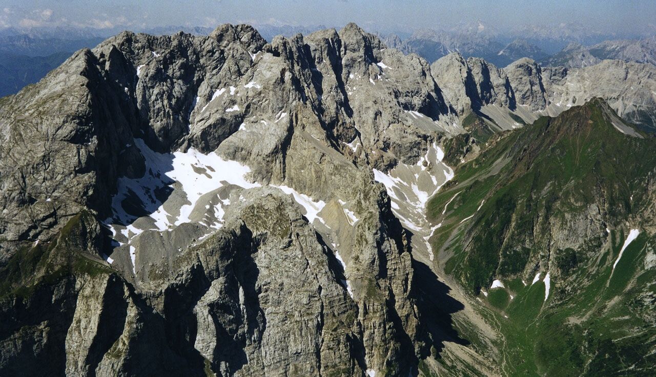
The mountain route into the Eiskar is a journey through human and earth history. Along the entire path to the glacier, old caverns and caves bear witness to the events of World War I. The barely visible Eiskar from the valley lies embedded in a rock hollow in the midst of the 800 m high Kellerwand. The protecting shadow of this wall also ensures the glacier’s existence and it defies climate warming. Impressive moraine walls up to 30 meters high, the youngest glacial striations in the rock, and countless fossilized marine animals illustrate all dimensions of earth history here. They tell of the primordial sea that spread here hundreds of millions of years ago. But also of the ice age, whose ice sheet covered the landscape up to about 2,000 meters above sea level. The Eiskar itself, a remnant from this time, allows the climate fluctuations to be experienced in real time.


From the Plöckenpass, follow an old cart track number 147 towards Cellon or Grüne Schneid (Cresta Verde). At about 1,650 meters above sea level, leave the path heading west and reach the Grüne Schneid (2,086 m) via steep grassy slopes on beautiful switchbacks. From there, hike along the Grüne Schneid westwards towards Kollinkofel, then turn north at the western end of the Grüne Schneid and follow an old war path into the Green Valley. The path becomes more demanding, and a short section is secured with a wire rope. Via a partially only faintly marked path, you reach Gabelekopf at 2,289 meters above sea level. Surefootedness and a head for heights are indispensable on this section! From Gabelekopf, you can see the Eiskar for the first time and reach the glacier from there in about 20 minutes. Descent as ascent.
Da
Sturdy mountain boots, sun, wind, rain, and cold protection, provisions, drinks, personal first aid kit.
Surefootedness and a head for heights are indispensable! For this route, the accompaniment of a mountain guide is strongly recommended.
From Kötschach-Mauthen (705 meters above sea level) on the Plöckenpass federal road to the Plöckenpass (1,370 meters above sea level)
Arrival to Kötschach-Mauthen is possible by public transport.
Sufficient parking spaces at the Plöckenpass
Naturarena Kärnten: www.naturarena.com or +43 (0) 42 82 - 3131
During the summer months, the GeoPark Karnische Alpen and Naturarena Kärnten offer a weekly guided hike into the Eiskar with nature and mountain guides.
Pridobite vpogled Vedno v živo na mestu z več kot 9.500 spletnimi kamerami. bergfex Kot uporabnik Pro si lahko zdaj ogledate ustrezne spletne kamere za številne izlete v aplikaciji izleti iz. Tako si lahko neposredno ogledate trenutne razmere. Priljubljeni izleti v okolici
- 4.5
Karnischer Höhenweg – Etappe 4: Hochweißsteinhaus – Wolayersee Hütte
težkoPohodništvo v daljavo 15.9 km - 4.5
Obergail - Obergailer Alm - Obergailer Lake - Enderberg hut - Source for Health & Peace - Madonna circular hiking route - Obergail
srednjaPohodništvo 11.4 km - 4.4
Mountain bike route from the Hubertus Chapel to the Wolayersee
težkoMountainbike 9.06 km - 4.8
Karnischer Hauptkamm - Hohe Warte 2.780m - Hike and Bike
težkoGorski pohodništvo 19.5 km - 3.7
Cellon-Stollen und Senza Confini auf den Cellon und Steinberger Weg zum Abstieg
srednjaVia ferrata 7.09 km - 3.9
Circular hike Obergail - Gamskofel - Obergail Alm - Obergail
srednjaPohodništvo 13 km - 5.0
Valentin-Wolayersee-Runde
srednjaPohodništvo 12.4 km - 5.0
Plöckenhaus - Polinik - Plöckenhaus
težkoPohodništvo 10.9 km - 4.5
Bread & Morende Trail
srednjaPohodništvo 11.3 km - 3.7
RW_N61 Kleiner Pal (1,867 m)
težkoPohodništvo 6.52 km
Pohodništvo in sledenje


Ne zamudite ponudb in navdiha za naslednje počitnice
Vaš e-poštni naslov je bil dodan na poštni seznam.





