


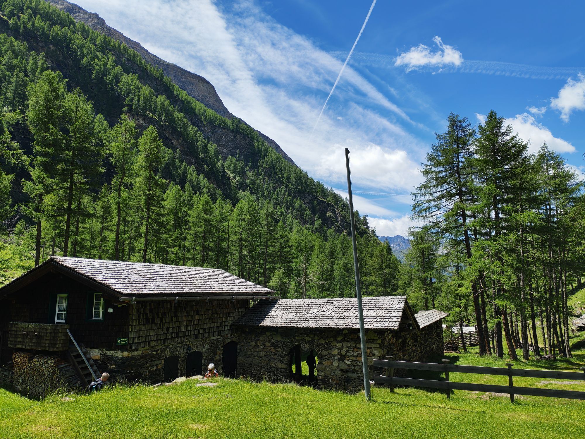
Sonnblick from Heiligenblut/Fleißtal
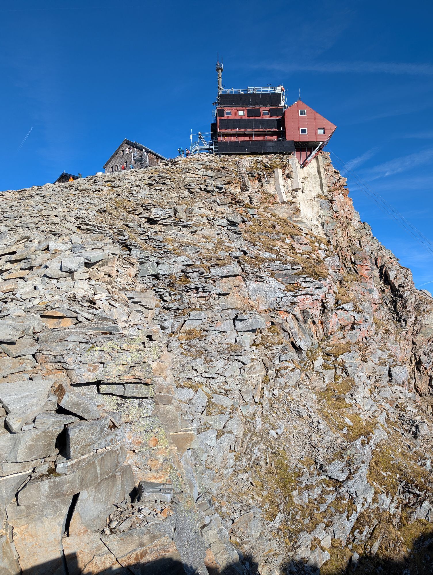


The weather station at Sonnblick is the highest continuously manned meteorological station in Austria, probably also why Sonnblick is one of the best-known mountains in the Hohe Tauern. There are 4 variants...
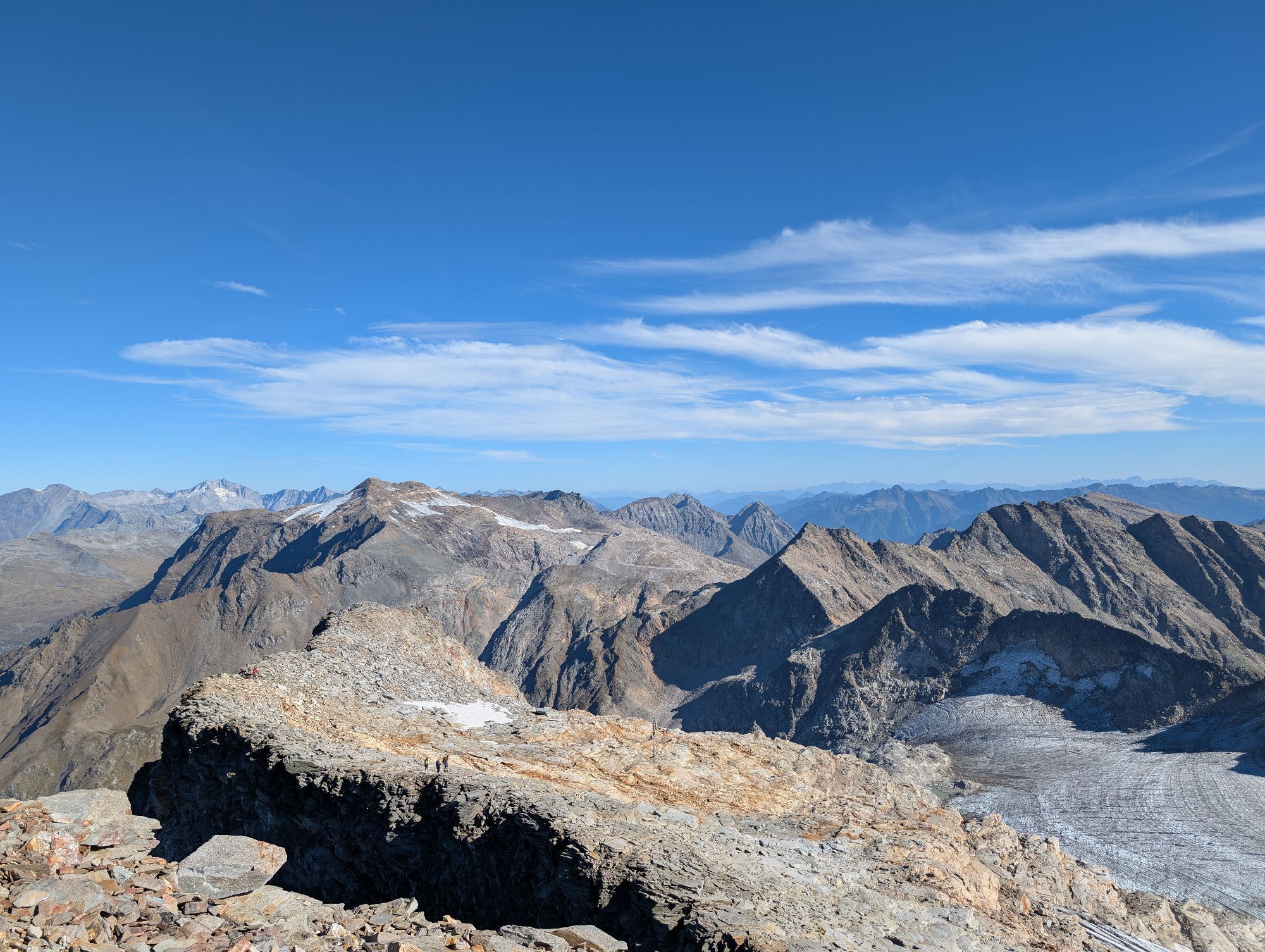
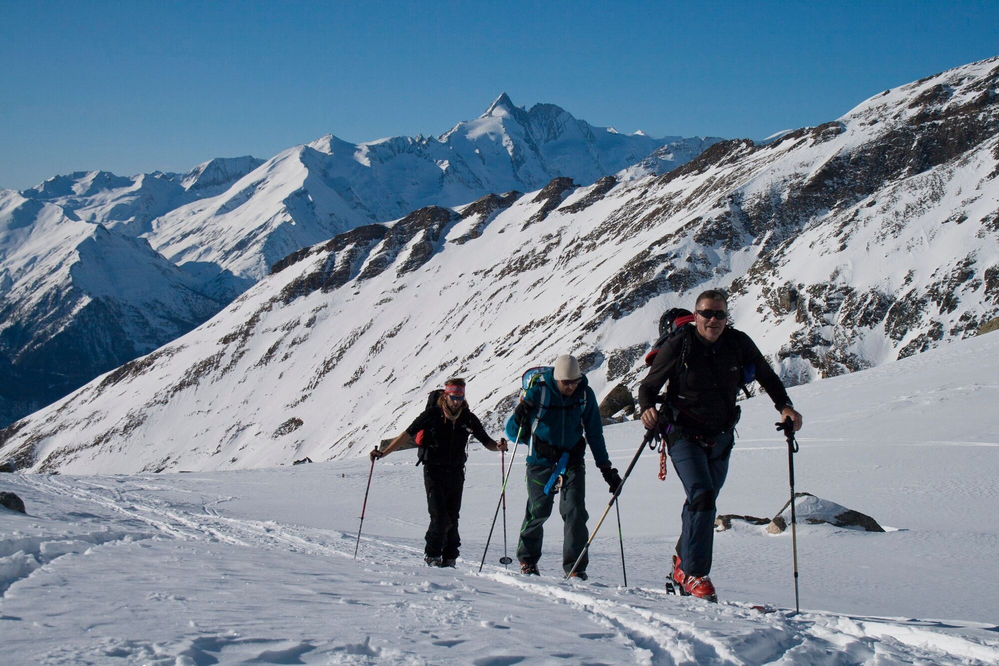
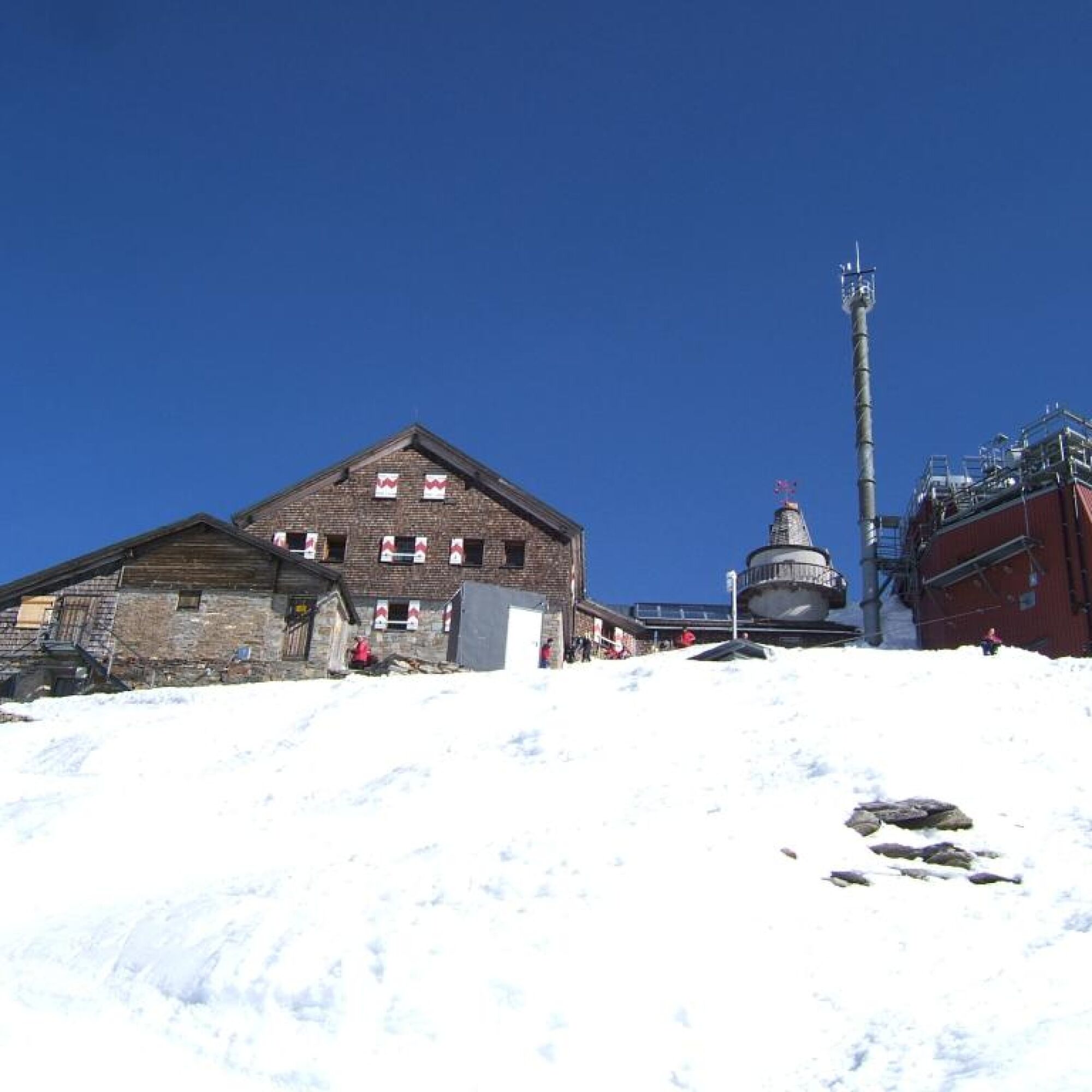
The weather station at Sonnblick is the highest continuously manned meteorological station in Austria, probably also why Sonnblick is one of the best-known mountains in the Hohe Tauern. There are 4 variants for ski ascent: from the north via the Rauris valley, from the large Zirknitz valley, from the Mölltal glacier, and the variant described here from Heiligenblut, which represents a very beautiful spring tour but requires secure conditions on the steep section in the middle part!
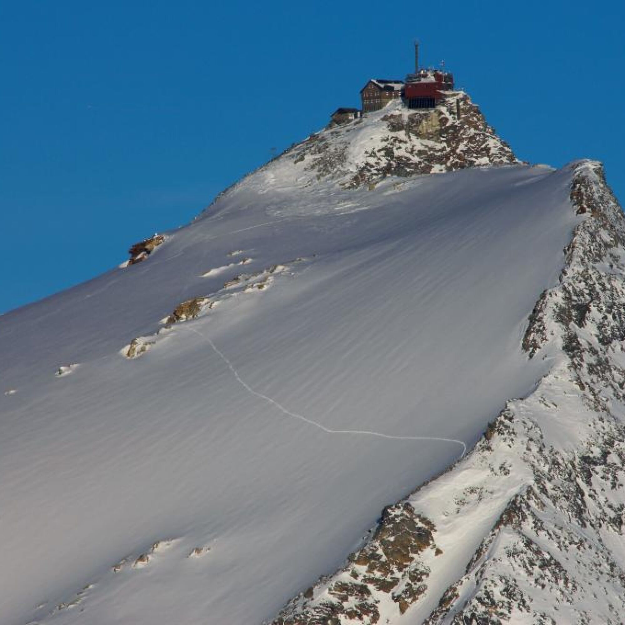
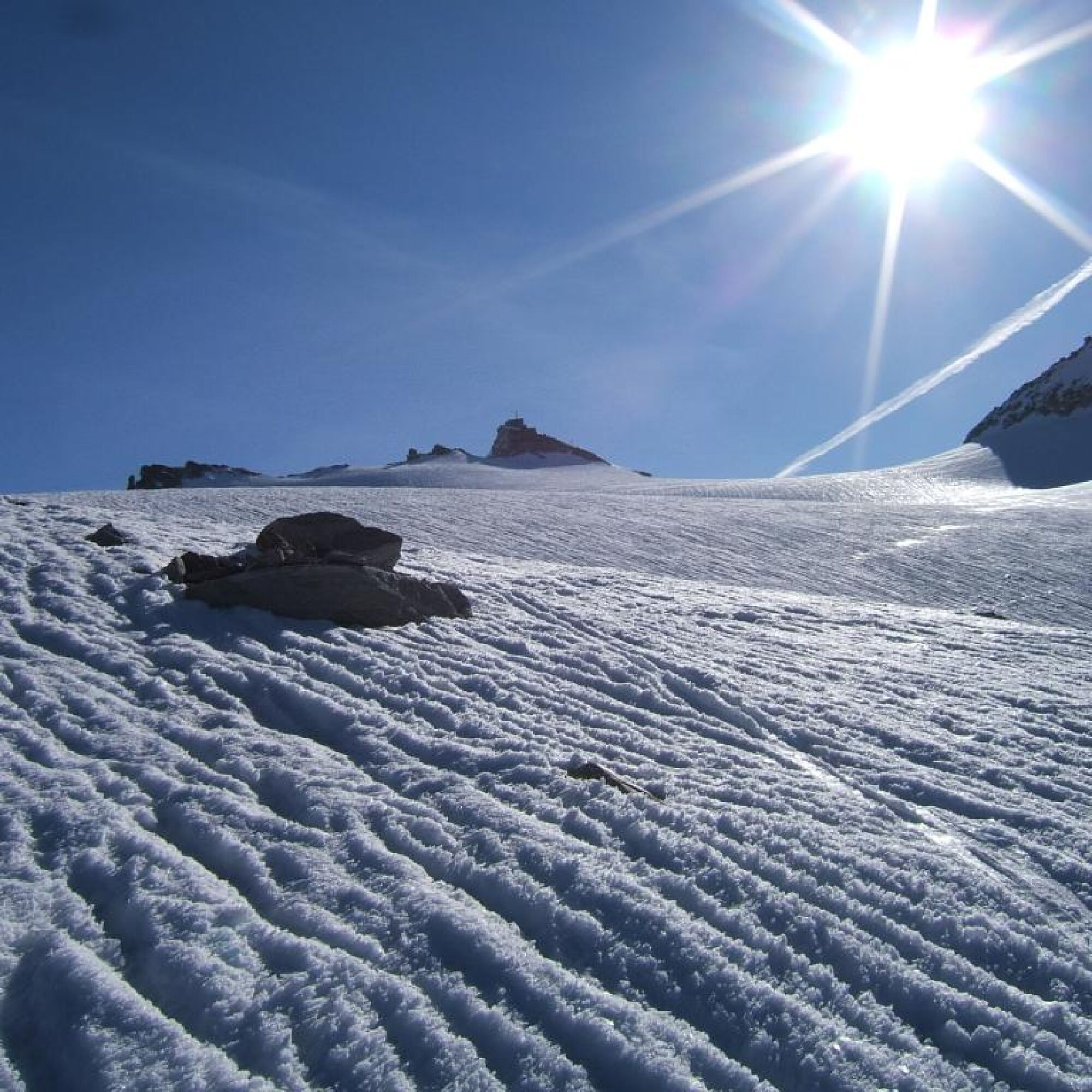
On the service road to the Alten Pocher and further along it up to about 2200 m. Here you leave the path heading east. Slightly keeping left uphill over rather steep slopes until you reach the service road again. Follow this road briefly into a cirque with a distinctive moraine on the right side. Follow this side moraine until just before the Fleißkees. From here, head towards the visible summit over the Sonnblickkees and continue over the gently ascending glacier eastwards to the summit structure of the Hoher Sonnblick (Zittelhaus).
Da
Standard ski touring and avalanche transceiver equipment, plus additional glacier gear. Crampons are highly recommended!
- Steep slopes in the middle section that are avalanche prone.
- In spring only low danger of crevasse falls, but it is still recommended to carry glacier equipment.
- Warning: In spring danger of wet snow avalanches from the steep slopes below Alten Pocher. An early start is necessary.
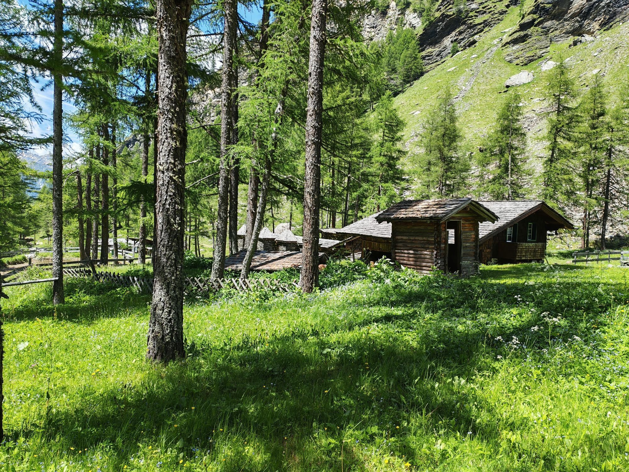
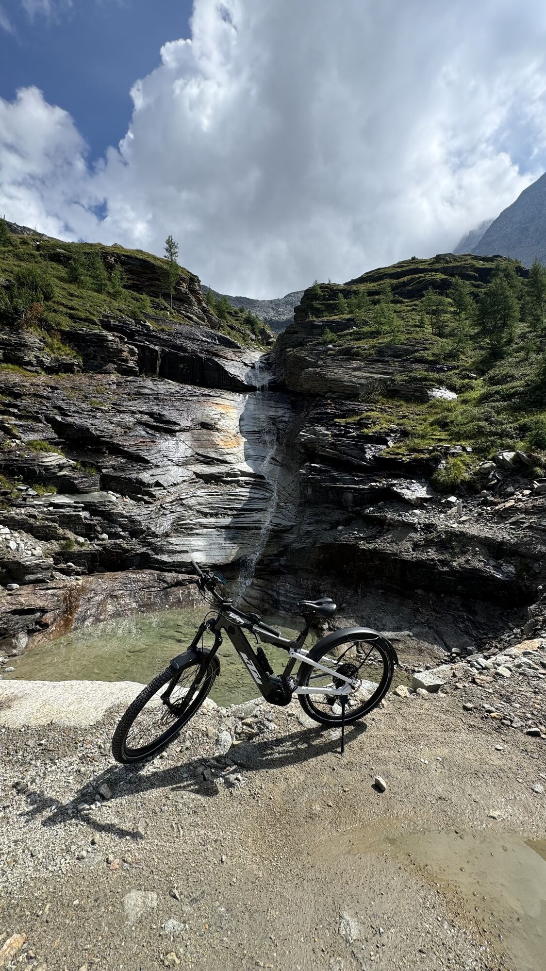
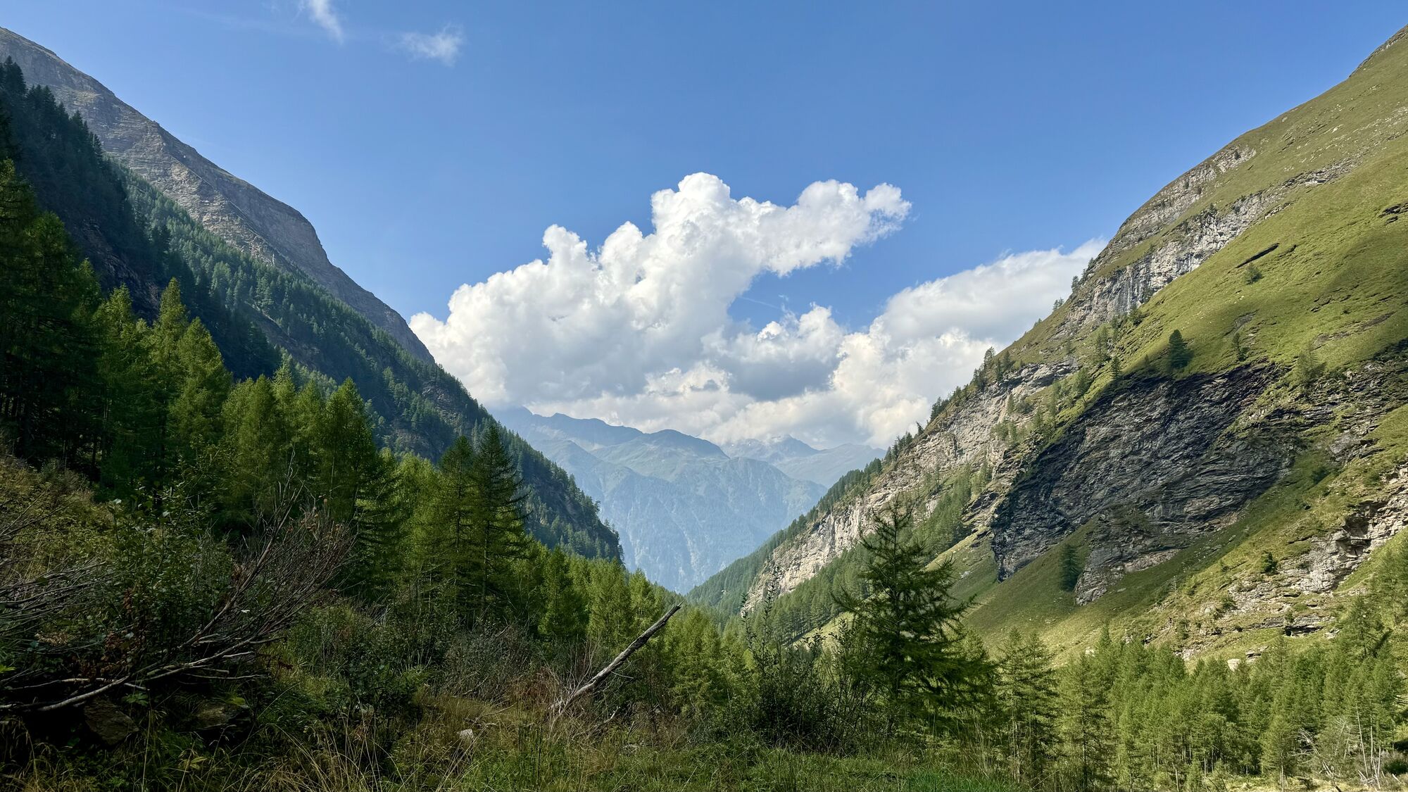
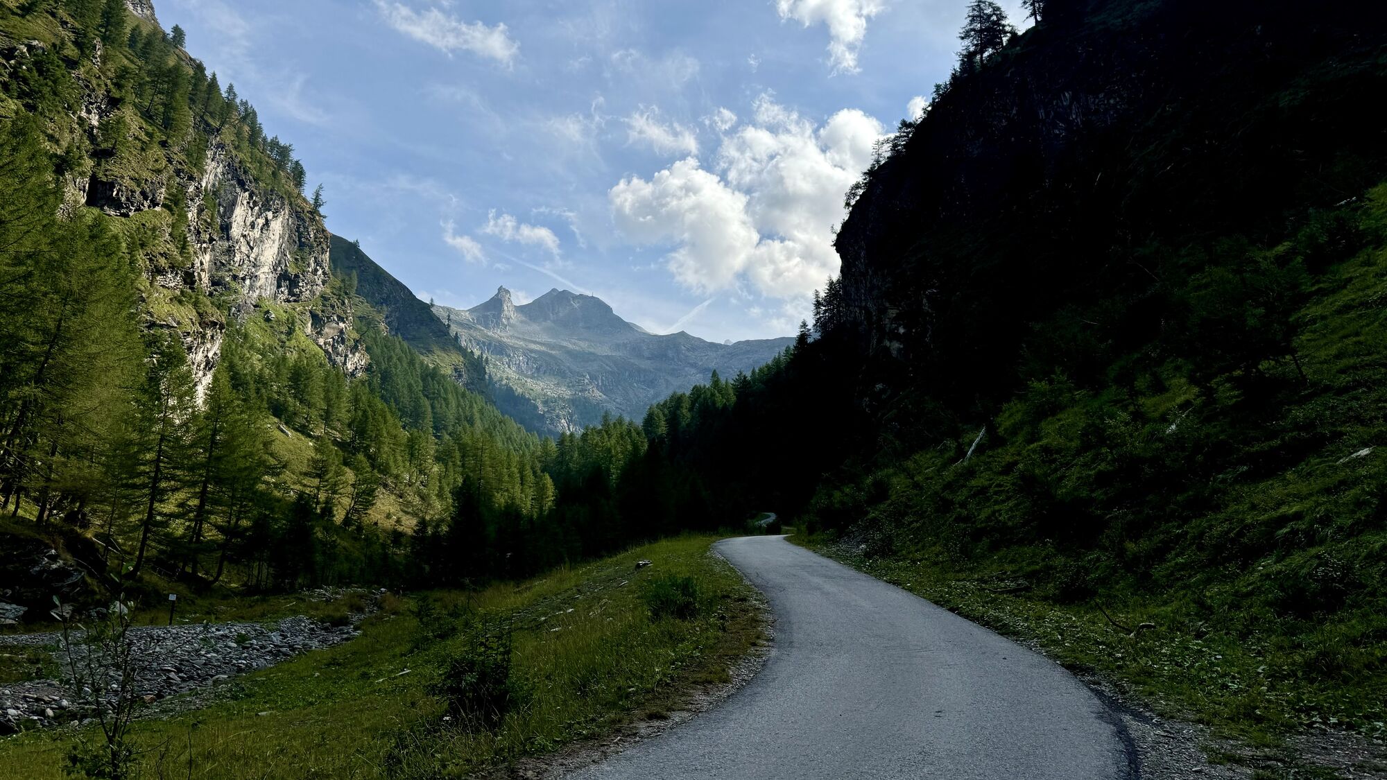
From Heiligenblut on the Grossglockner High Alpine Road to hairpin turn 27 ("Fleißkehre"). Turn right there and drive towards Goldgräberdorf (depending on road clearance status).
Depending on the cleared road, either at the parking lot next to the “Bauernhof Pfeifer”, or otherwise at the "Handelsbrücke" in the Kleines Fleißtal.
Respect your limits! 5 rules for responsible snowshoeing or ski touring:
Where available, stay on marked routes; pay attention to signposts as well as protected, conservation, and restricted areas. Consider wildlife: avoid feeding areas and quietly retreat immediately if you spot an animal. Avoid young tree plantations (under three meters); ski edges can cause significant damage to trees. Do not leave any waste behind. Avoid noise.Important for ski tours: Prohibition of skiing in young forest and reforestation areas
The Zittelhaus may be open on weekends in spring. Info: www.zittelhaus.at
Priljubljeni izleti v okolici
- 4,7
Geotrail Tauernfenster
svetlobaPohodništvo 5,90 km - 4,7
Hohe Sonnblick Up
težkoPohodništvo 9,14 km - 5,0
Silberpfennig, Salzburger Land/Österreich
srednjaPohodništvo 13,8 km - 4,1
Glacier Route to the Pasterze with Gamsgrubenweg (up to Tunnel 6)
srednjaPohodništvo 8,05 km - 4,5
Niedersachsenhaus
srednjaPohodništvo 4,84 km - 4,5
Bad Gastein-Böckstein-Sportgastein(Schlechtwettervariante)
Pohodništvo 17,2 km - 4,8
Rifflscharte - Kolmkarscharte - Bockhartscharte - Sportgastein
srednjaPohodništvo 13,5 km - 3,9
Großglockner Hochalpenstrasse
težkoKolesarjenje 20,2 km - 5,0
Türchlwand von der Bergstation Schlossalmbahn Bad Hofgastein, Österreich
srednjaGorski pohodništvo 7,05 km - 4,1
Gradental to Adolf Nossberger Hut - circular route
srednjaPohodništvo 11,1 km
Pohodništvo in sledenje


Ne zamudite ponudb in navdiha za naslednje počitnice
Vaš e-poštni naslov je bil dodan na poštni seznam.