Navigacija po spletni strani
Pridobite to turo v svoj mobilni telefon
Zemljevid
Dolomites Tour
srednja
Cestno kolo
125.87 km
Skenirajte kodo QR in začnite navigacijo v aplikaciji bergfex.
QR Code
Pohodništvo in sledenje
Prenos za iOS
Prenos za Android

Dolomites Tour

Zemljevid
Razdalja
125.9 km
Trajanje
11:12 h
Ascent
2,961 hm
Morska gladina
619 - 1,533 m

Stopnja težavnosti: 4
Prenos skladbe
Zemljevid
Dolomites Tour
srednja
Cestno kolo
125.87 km

Fotografije naših uporabnikov

Starting off in Oberdrauburg, the route immediately heads to the Gailberg Pass, which, however, with a consistent 6-7% gradient, is pleasant to cycle. Then it goes downhill flat towards Kötschach-Mauthen,...

Opis
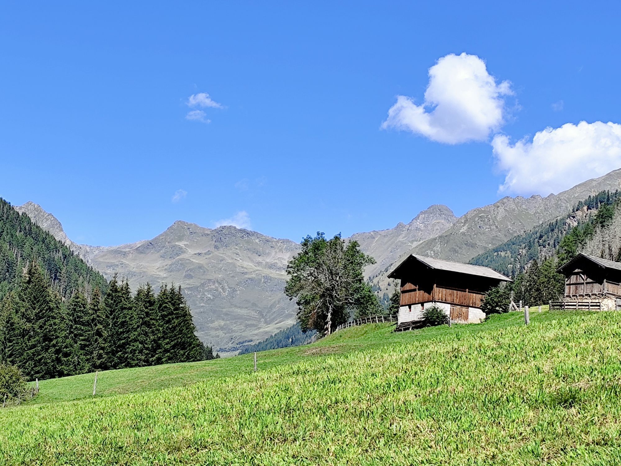
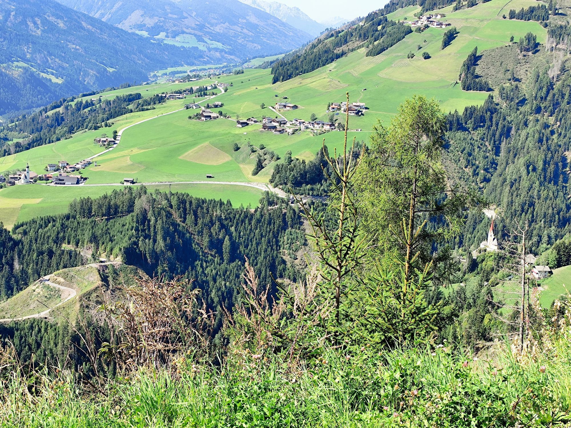
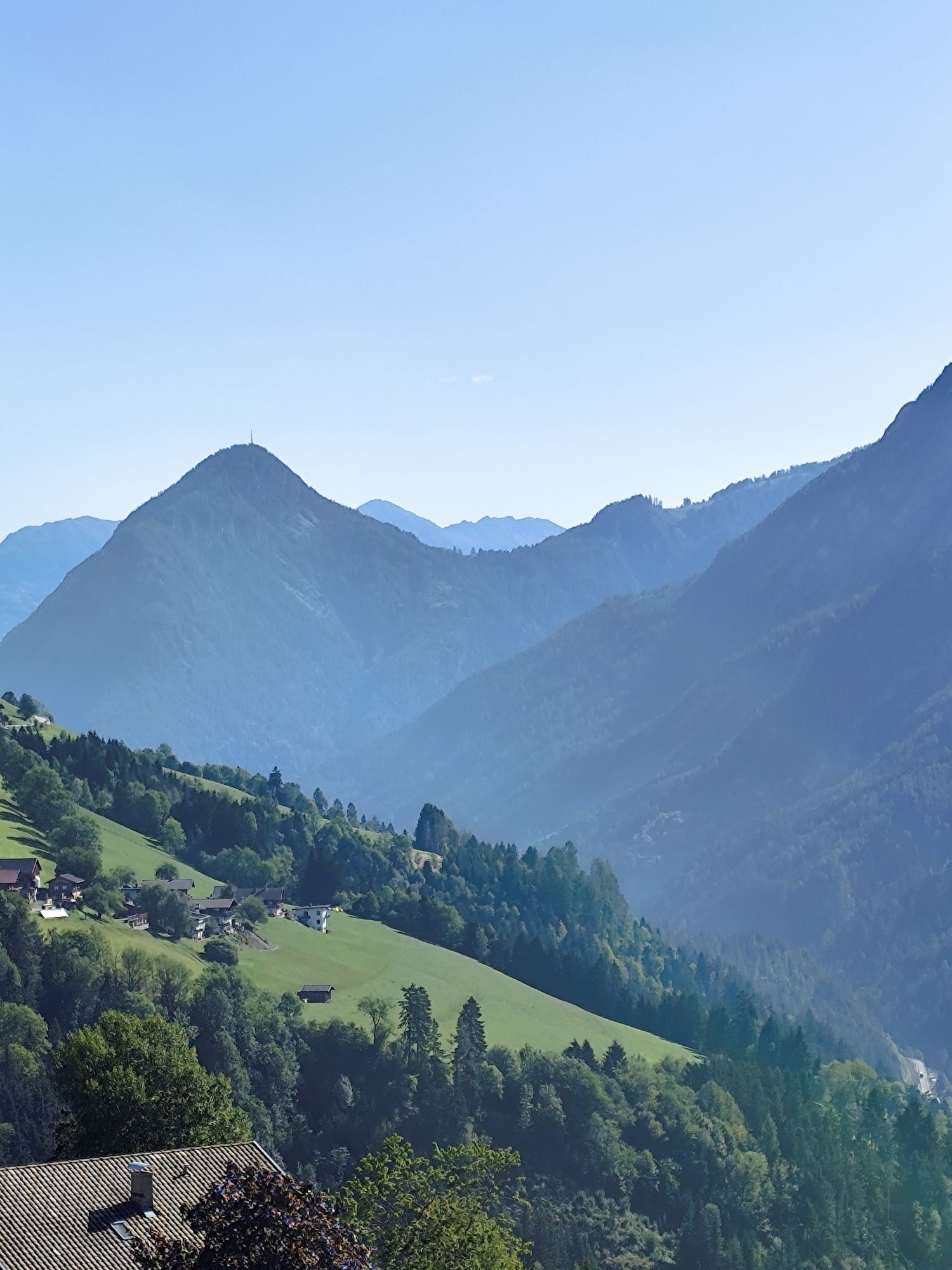
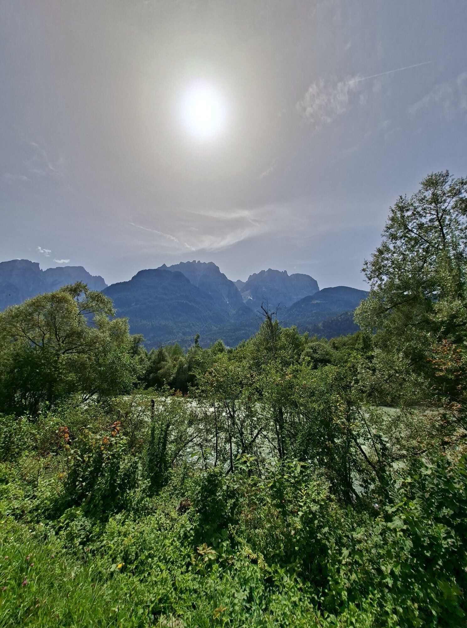
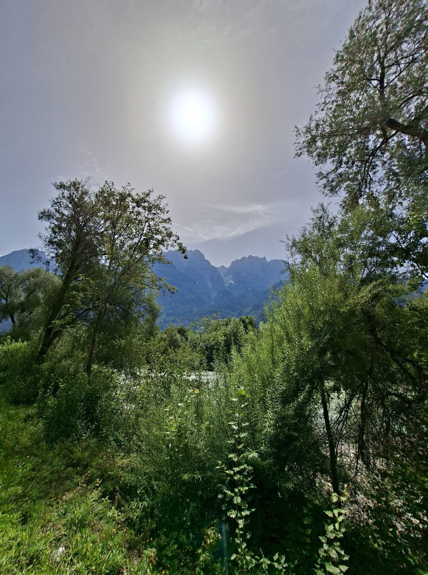
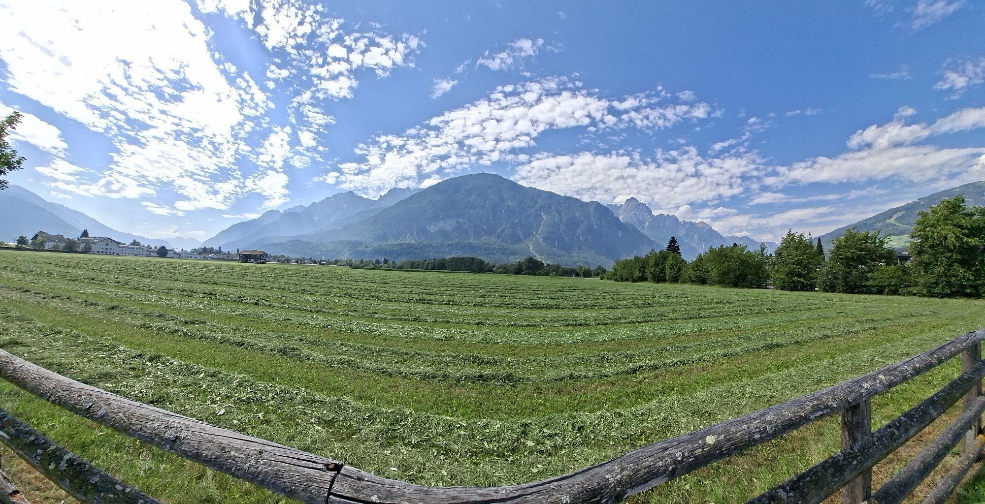
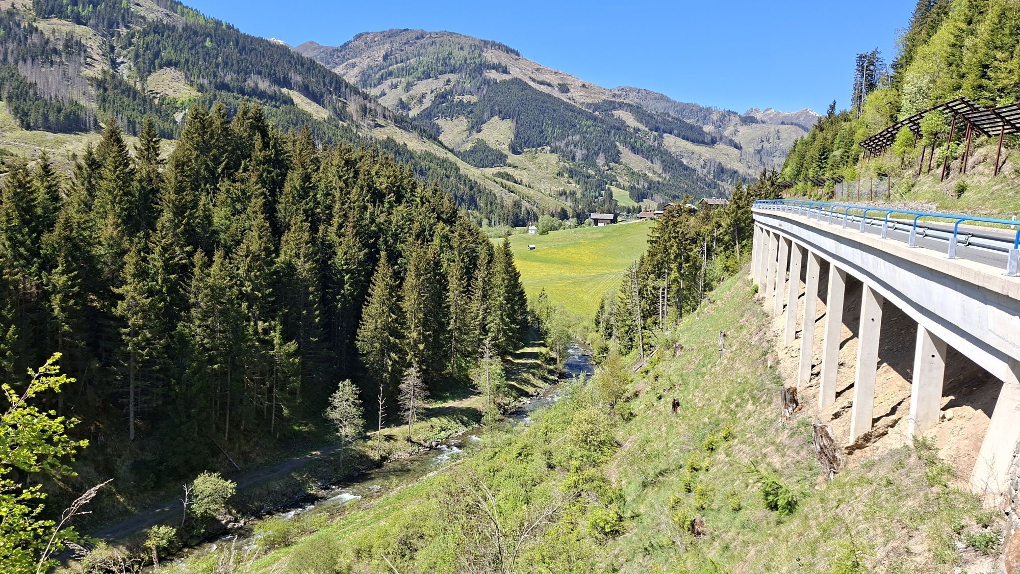
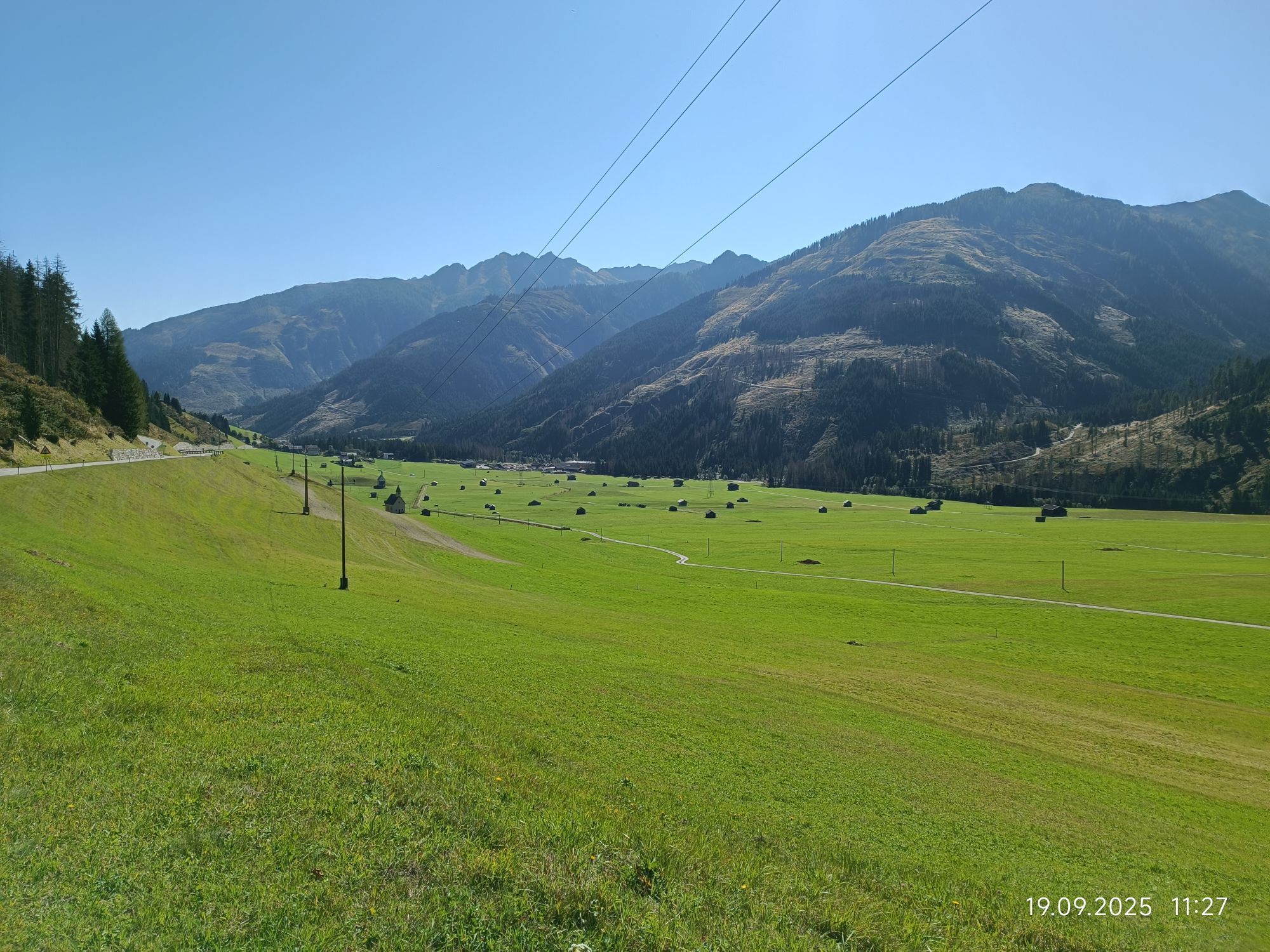
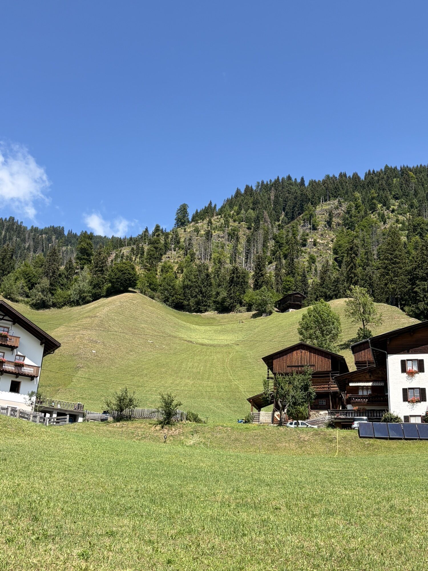
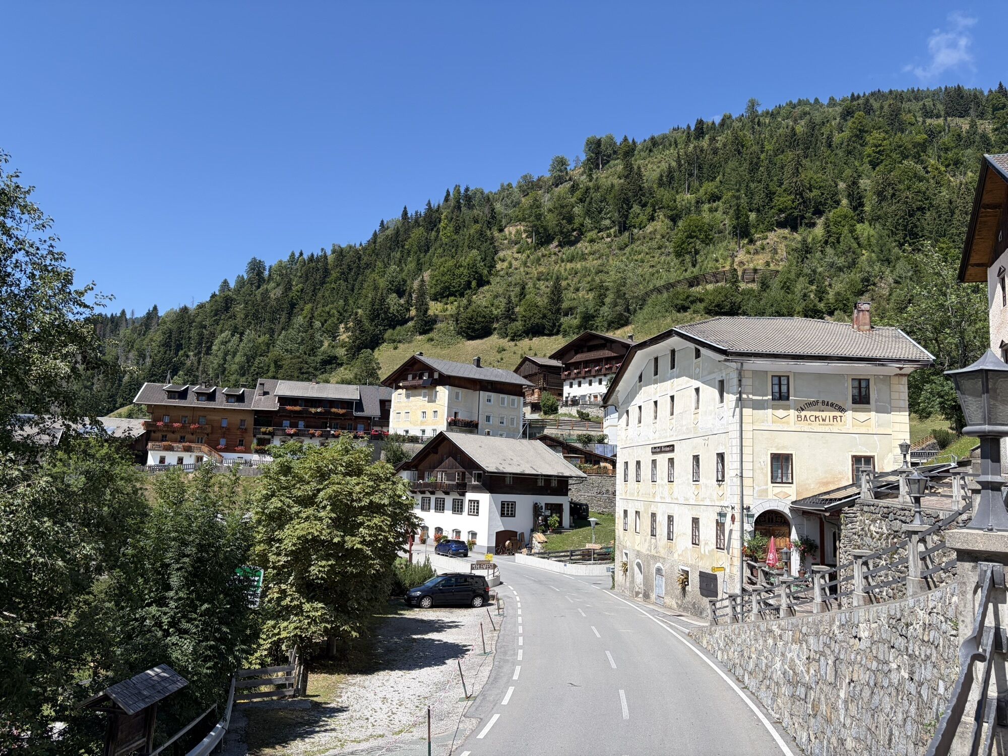
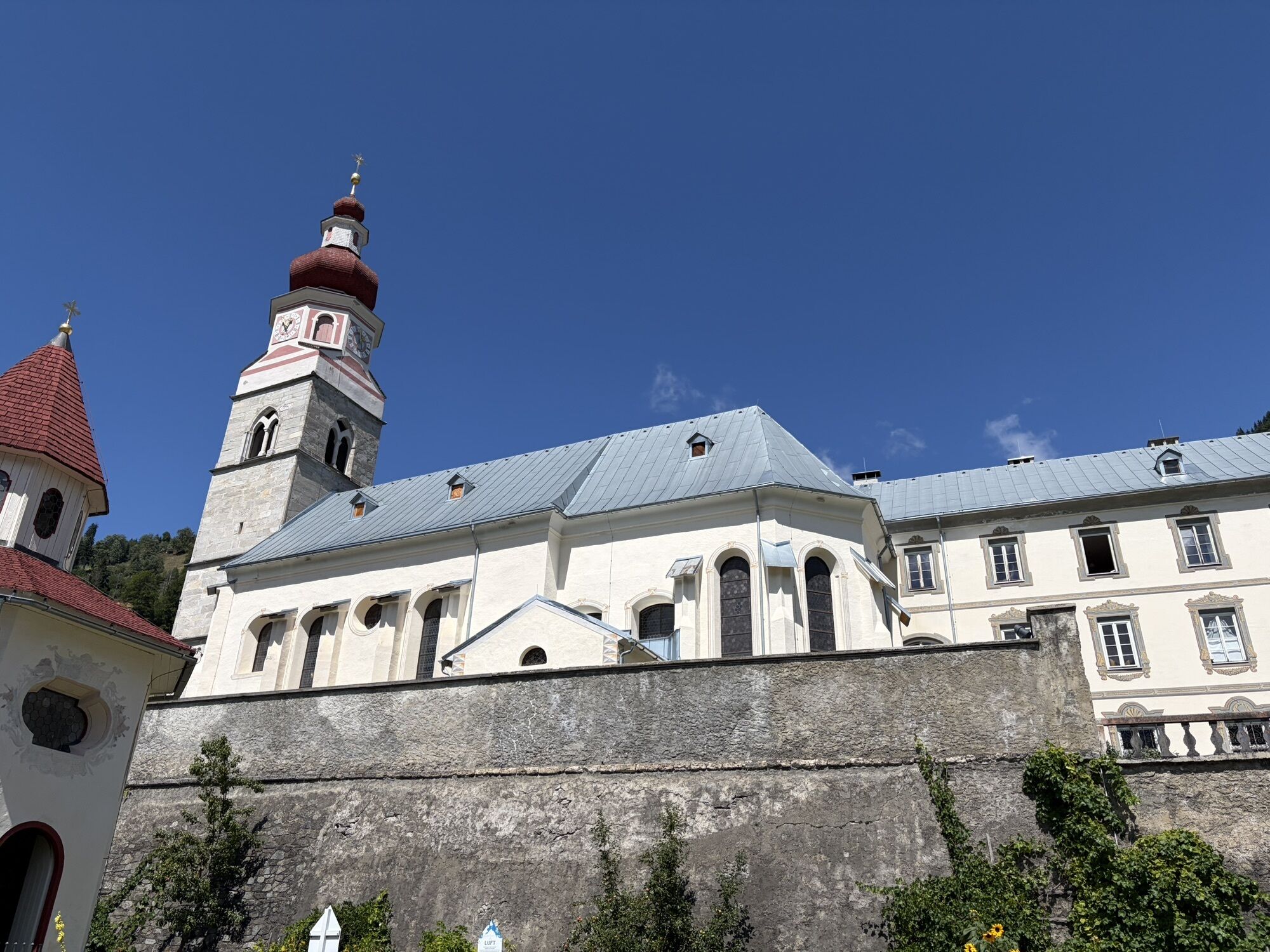
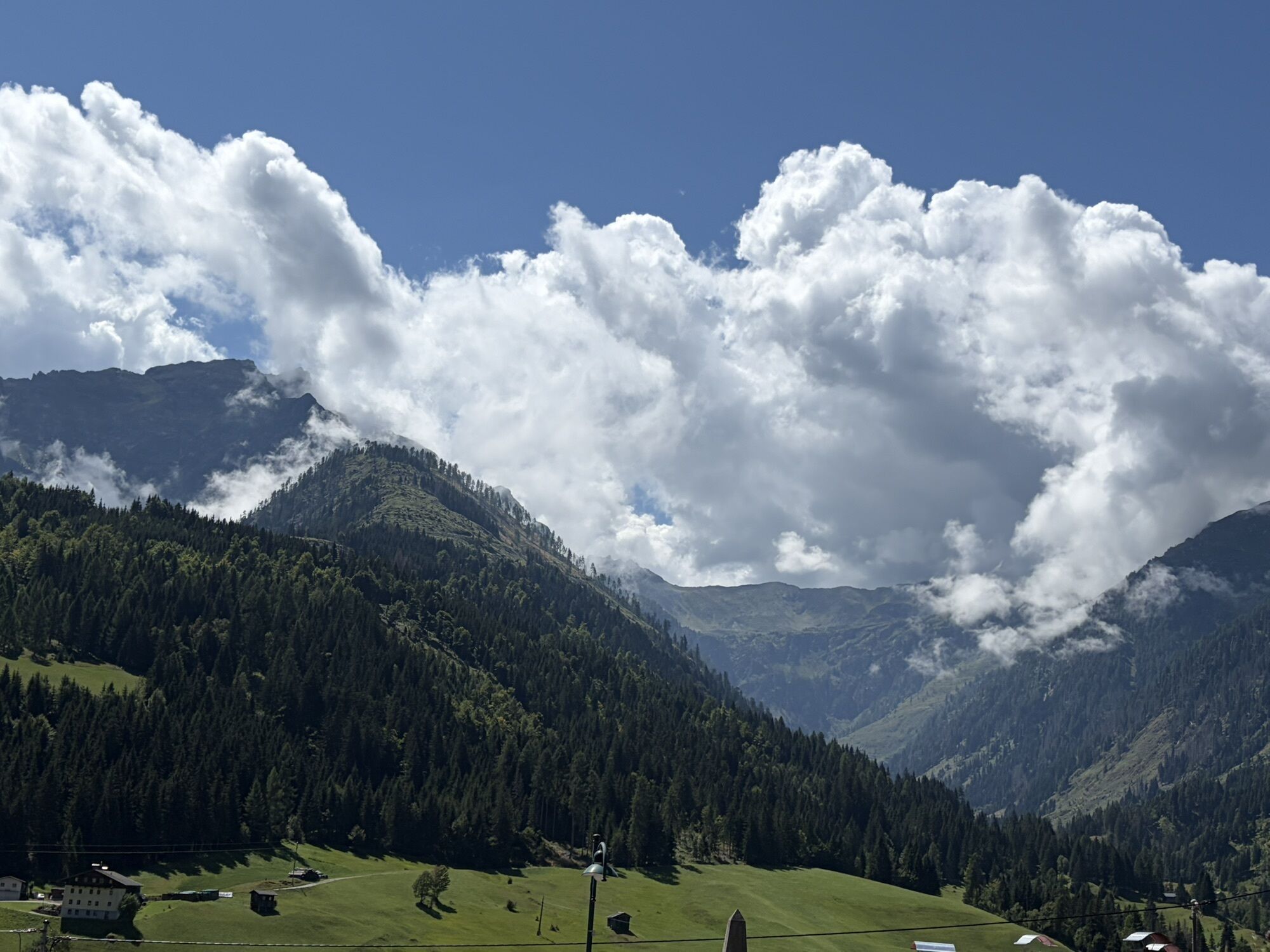
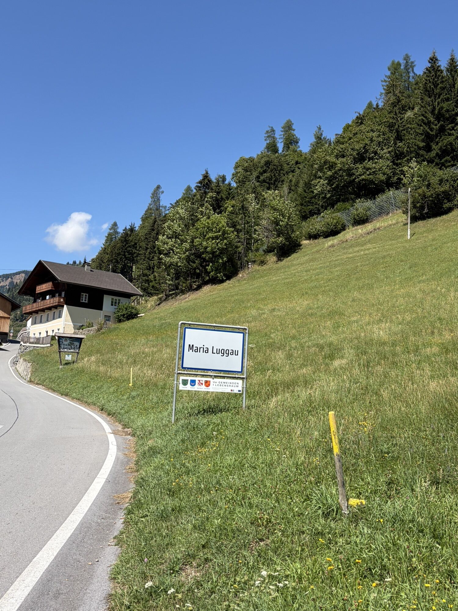
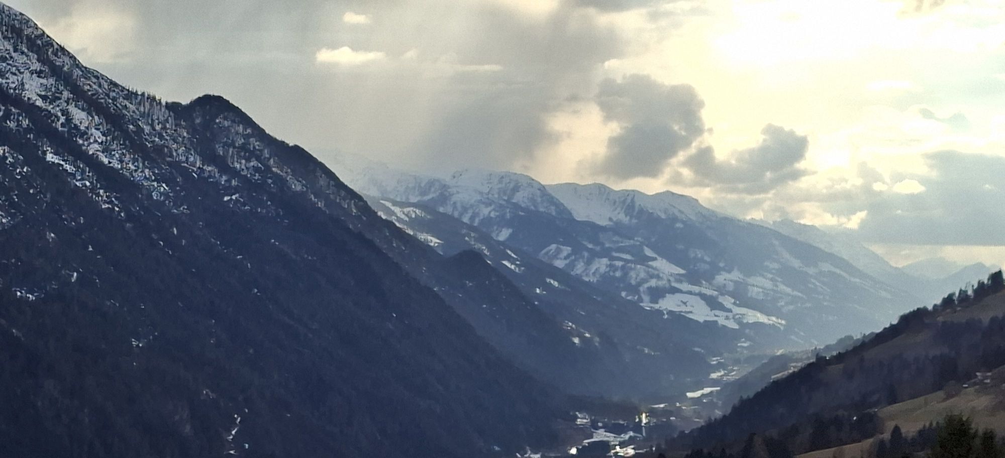
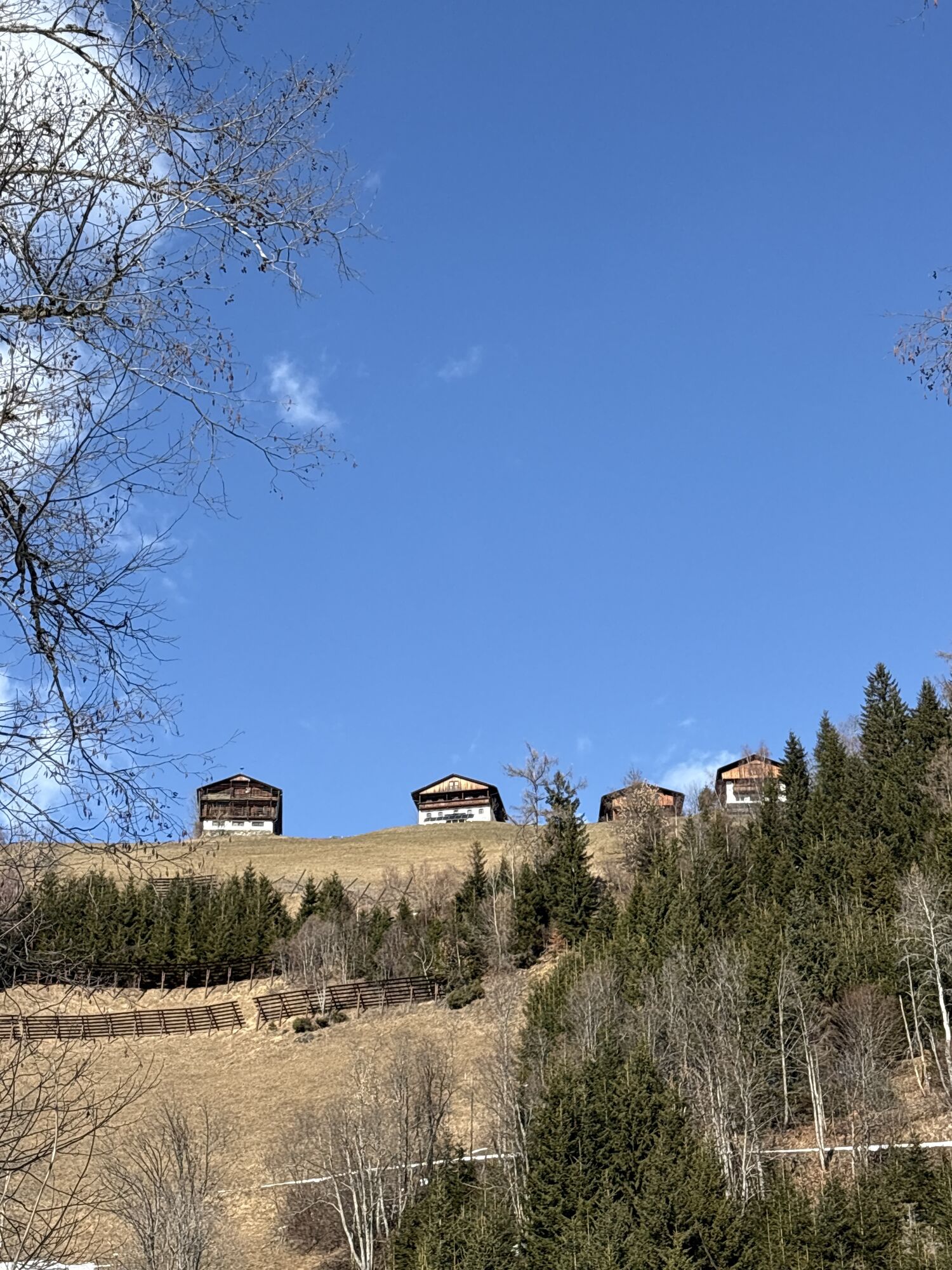
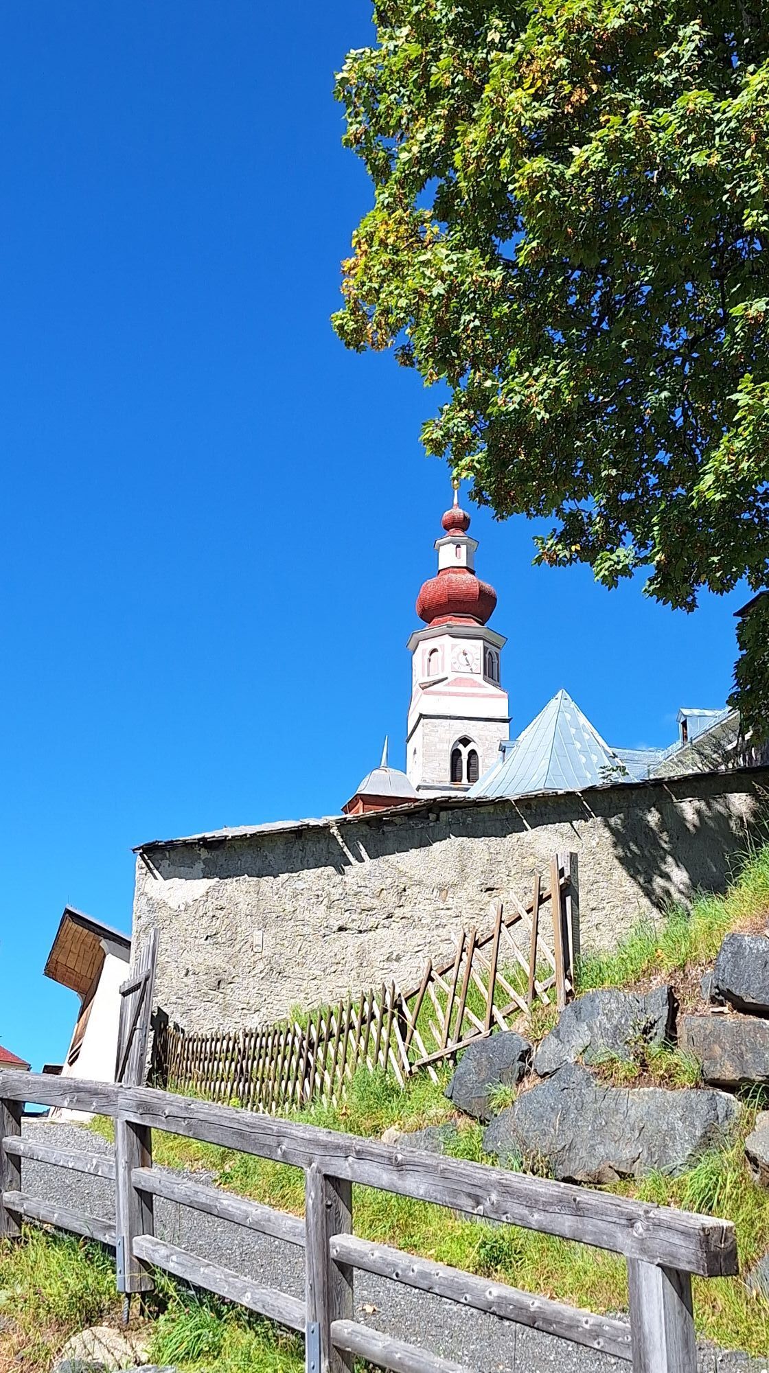
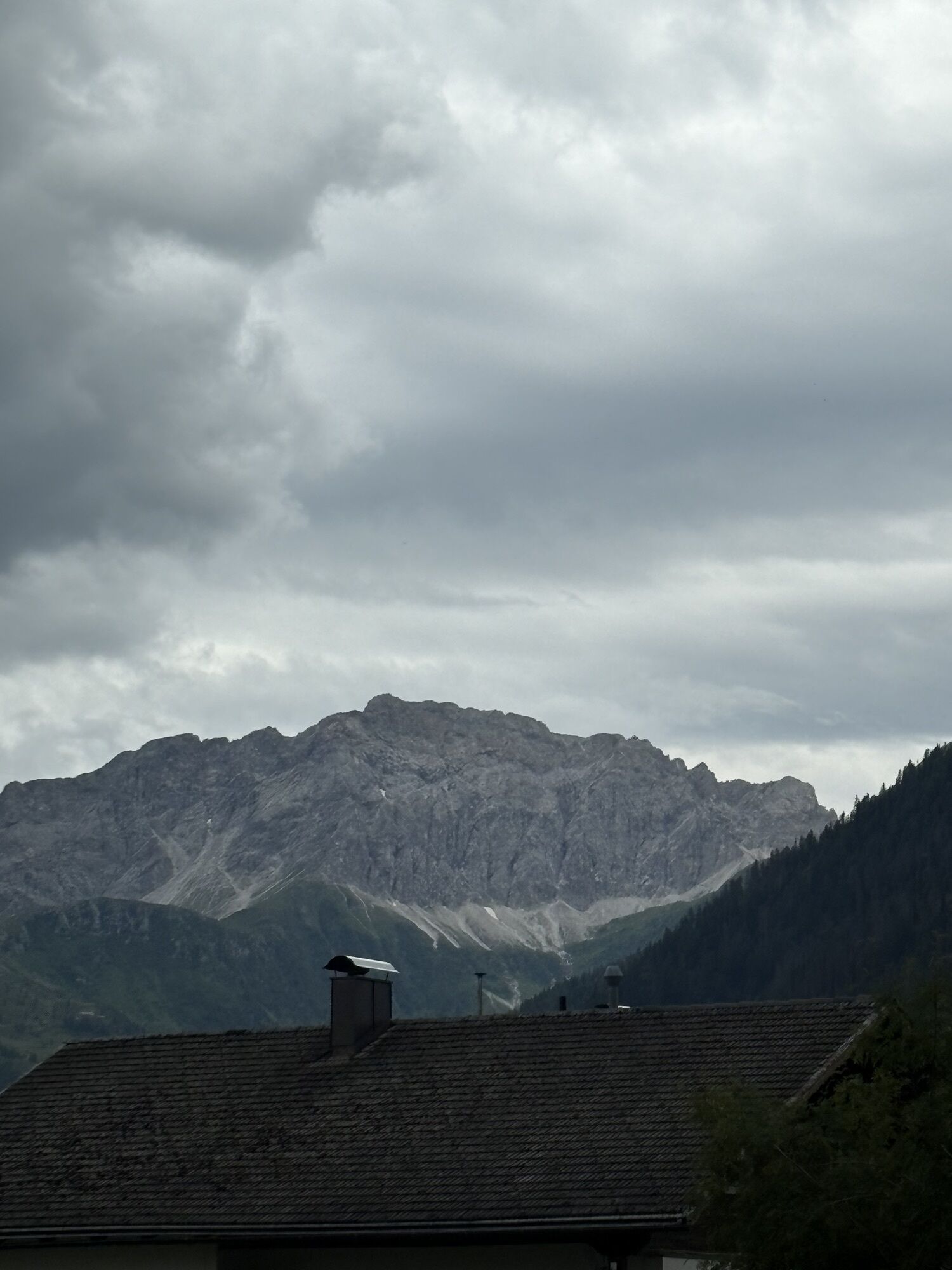
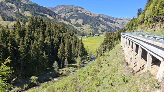
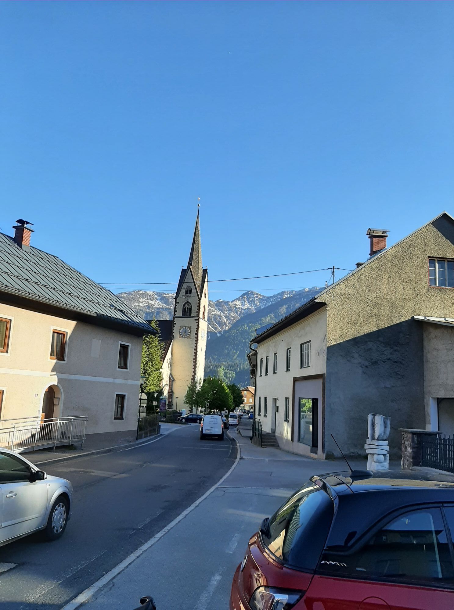
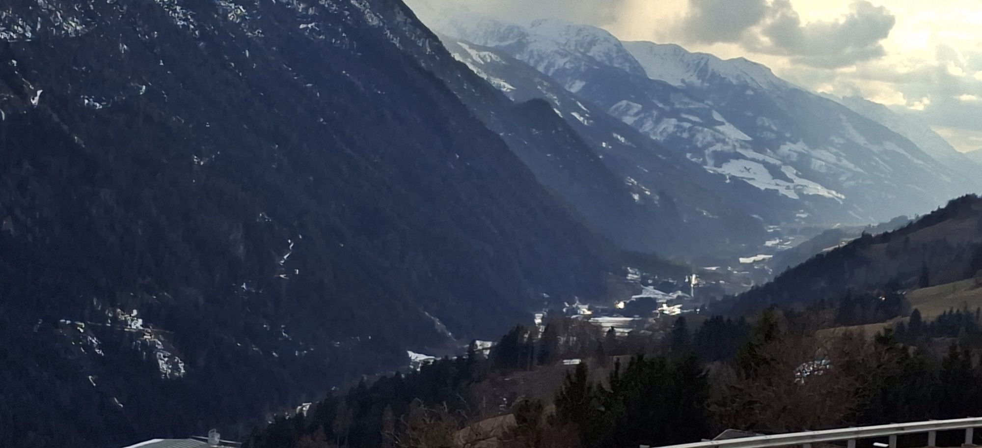
Starting off in Oberdrauburg, the route immediately heads to the Gailberg Pass, which, however, with a consistent 6-7% gradient, is pleasant to cycle. Then it goes downhill flat towards Kötschach-Mauthen, the "starting point" of the Lesachtal. The Lesachtal was named "Landscape of the Year" in 1995 and "most environmentally friendly valley in Europe" in 1991. In Lesachtal, time seems to have actually stood still in places: steep meadows, centuries-old mountain farms, and the untouched landscape let one immerse into another world. After the main villages Birnbaum, Liesing, and St. Lorenzen, you reach the pilgrimage site Maria Luggau with its famous basilica.

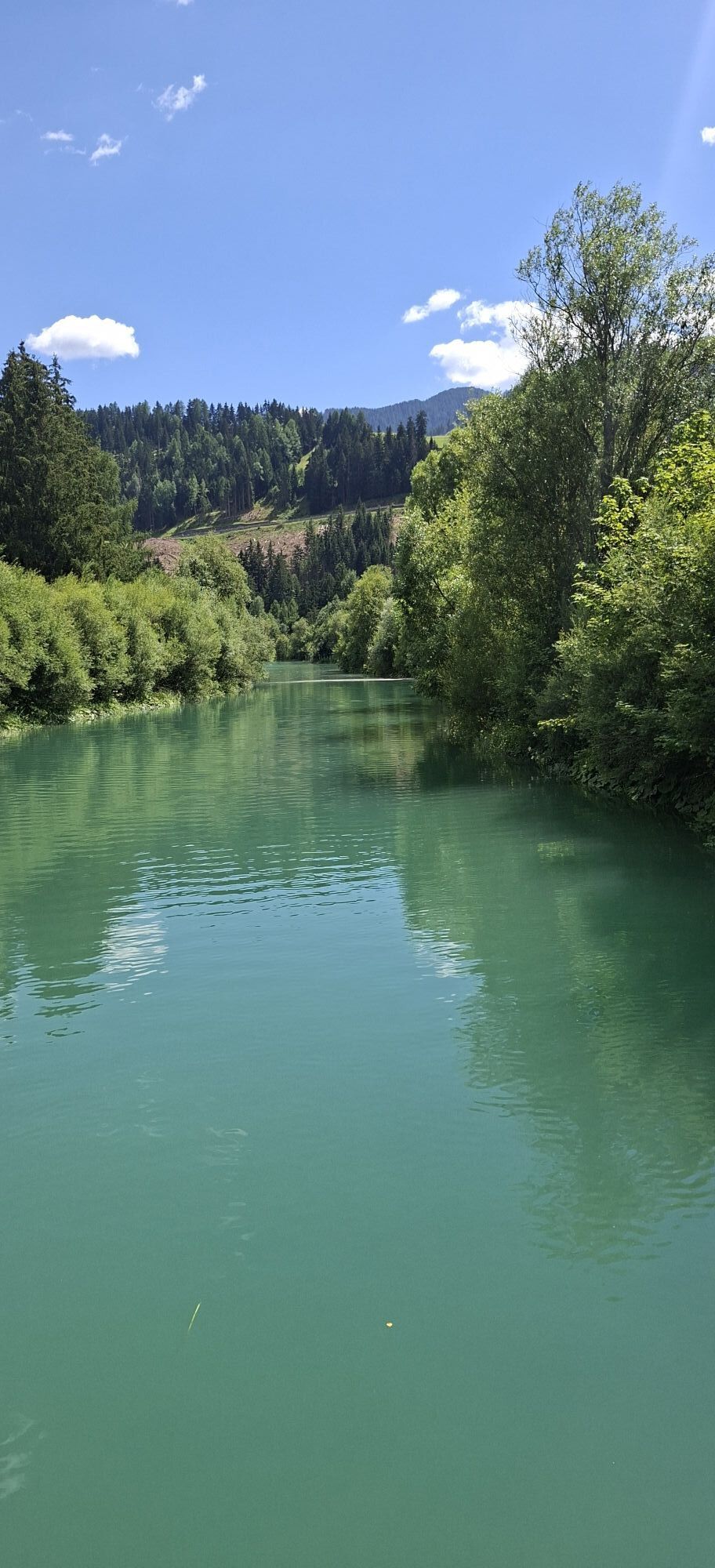
You leave the westernmost town of Carinthia and enter East Tyrol. Passing the idyllic villages of Unter- and Obertilliach and reaching Kartitsch Pass, you arrive at the highest town of the tour at 1,525 m. Next follows an 8 km long descent into the Puster Valley, through which the Drava River flows, here still a small river that has only traveled a few kilometers. Up to Abfaltersbach, you can cycle on the Drava bike path, which is continuously paved up to Lienz, avoiding the relatively heavy traffic on the federal road.

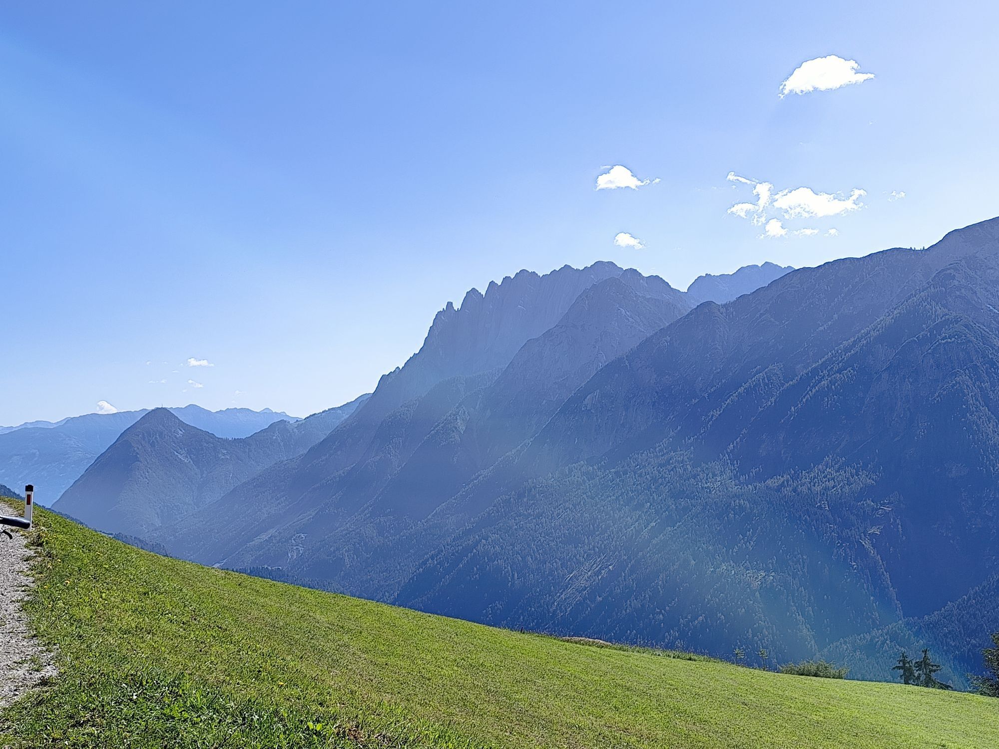
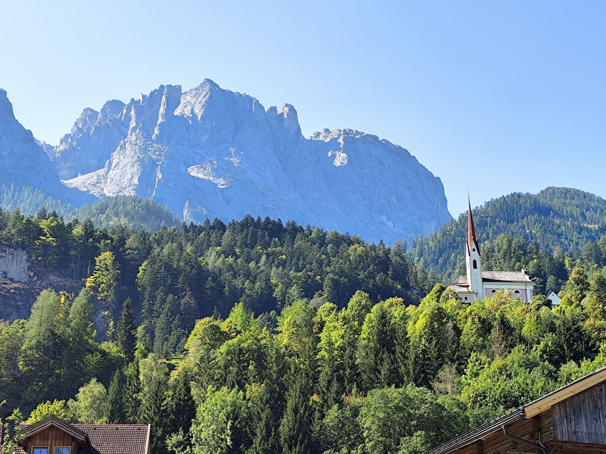
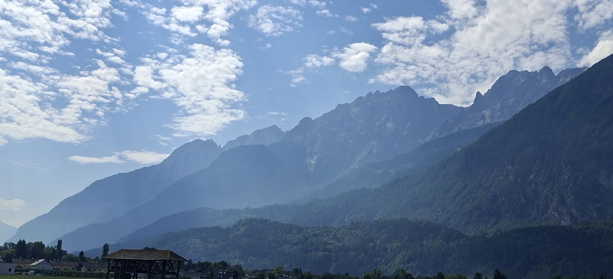
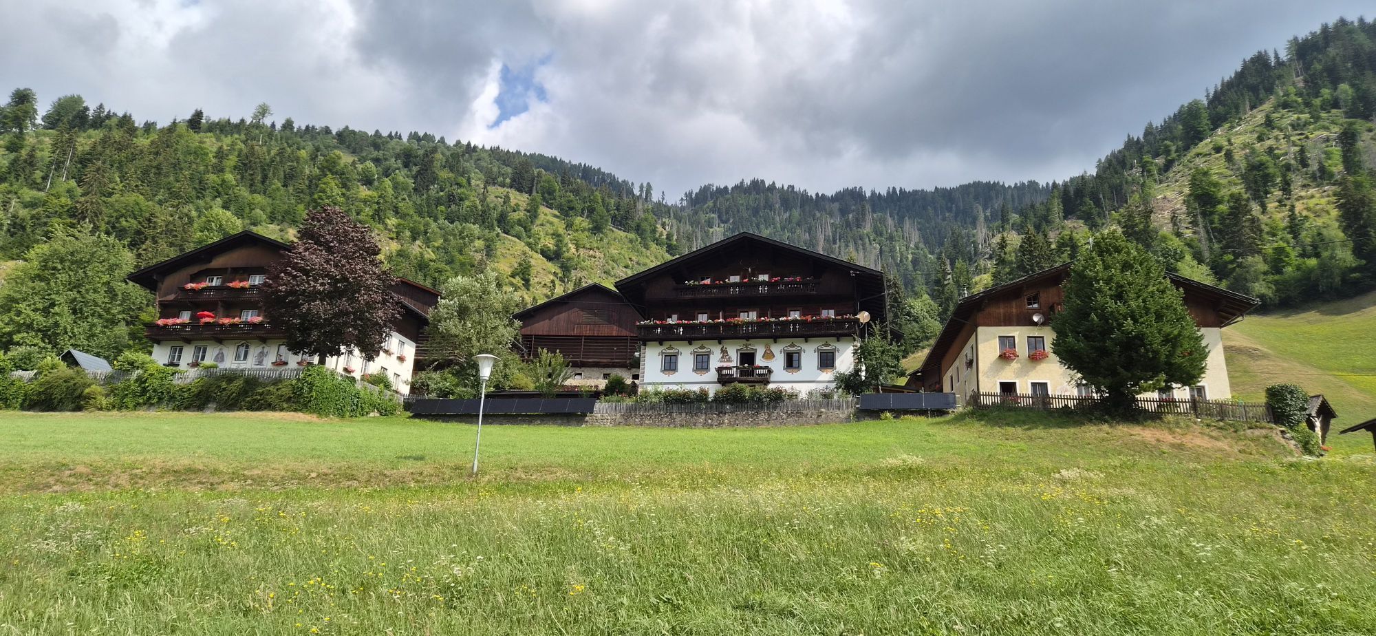
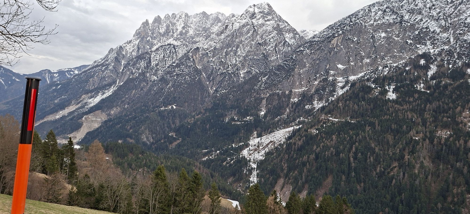
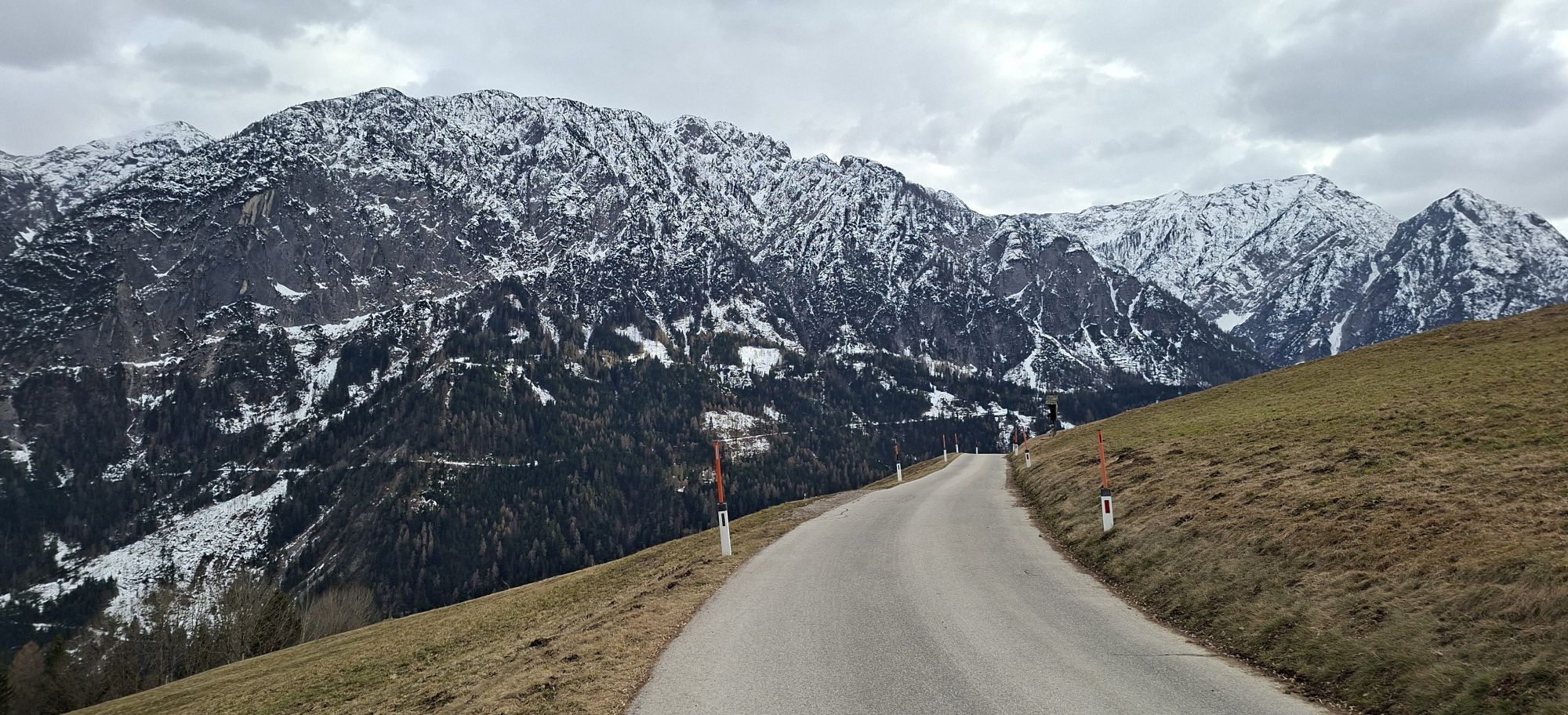
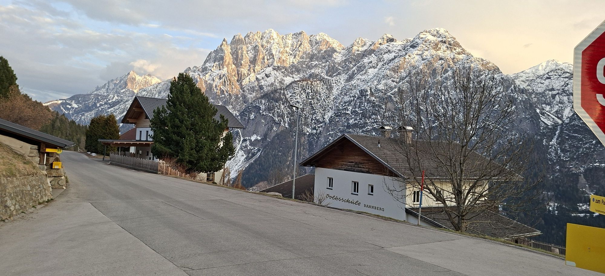
If you want to include the Pustertal High Road, turn left in Abfaltersbach. The High Road is characterized by three major climbs, followed by longer descents. The road is hardly frequented, and you cycle through scenic mountain villages with picturesque farms and enjoy wonderful views of the Lienz Dolomites.

At Leisach you return to the valley; a short stop in the East Tyrolean capital Lienz is definitely worthwhile, and the last approximately 20 kilometers back to Oberdrauburg can be enjoyed leisurely, preferably off the B 100 via Tristach and Nikolsdorf.

Pot
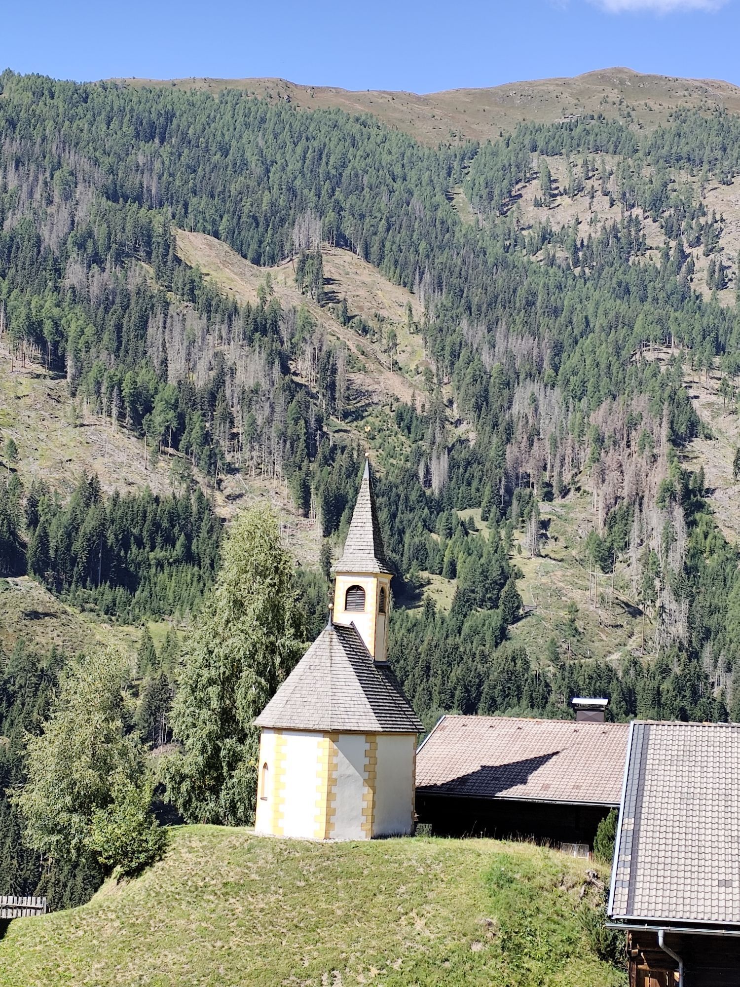
Herz Jesu-Kapelle
(844 m)
Kraj čaščenja
17.2 km
Pfarrkirche Heiliger Nikolaus
(1,044 m)
Kraj čaščenja
32.2 km
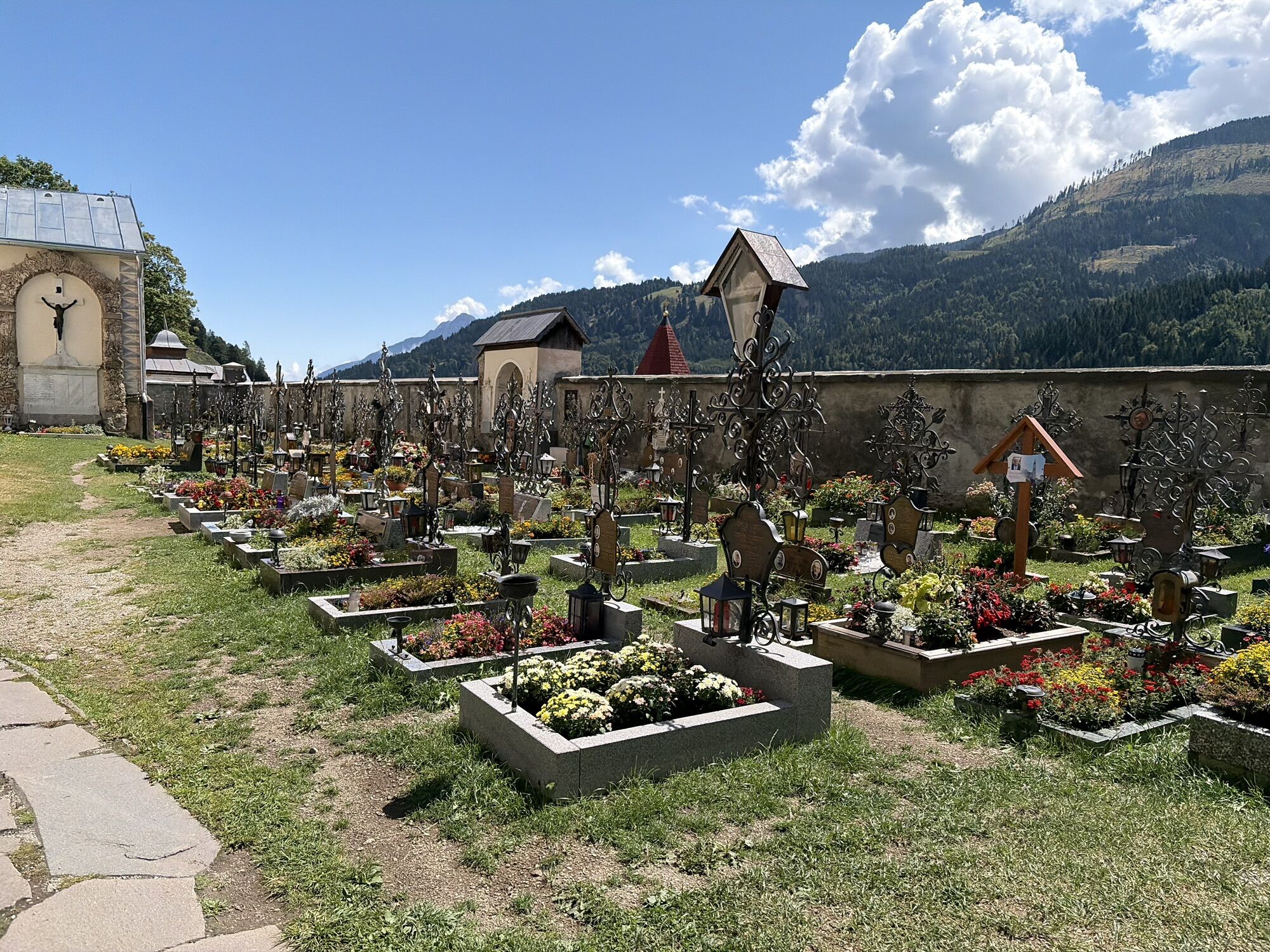
Wallfahrtsbasilika Maria Luggau
(1,173 m)
Kraj čaščenja
39.7 km
Bacherkapelle
(1,514 m)
Kraj čaščenja
56.9 km
Pfarrkirche Anras
(1,262 m)
Kraj čaščenja
73.6 km
Herz-Jesu-Kapelle
(1,163 m)
Kraj čaščenja
91.1 km
Lienz
(674 m)
Mesto
102.1 km
Pot
Zemljevid
Dolomites Tour
srednja
Cestno kolo
125.87 km
Skaterplatz & Kinderspielplatz
(622 m)
Igrišče
0.0 km
Oberdrauburg
(622 m)
Vas
0.0 km
Waidach
(626 m)
Soseska
0.1 km
Silberfall Wasserfall
(714 m)
Slap
3.9 km
Gailberg
(979 m)
Poravnava
6.6 km
Gailberghöhe
(969 m)
Restavracija
6.9 km
Laas
(831 m)
Vas
10.3 km
Kötschach
(705 m)
Mesto
12.9 km
Gailtaler Dom
(705 m)
Kraj čaščenja
12.9 km
Friedenskirche
(699 m)
Kraj čaščenja
14.0 km
Gentschach
(839 m)
Poravnava
17.0 km
Herz Jesu-Kapelle
(844 m)
Kraj čaščenja
17.2 km
Passau
(788 m)
Poravnava
19.0 km
Strajach
(956 m)
Vas
21.0 km
Gasthof zum Löwen
(941 m)
Restavracija
21.6 km
Sankt Jakob im Lesachtal
(935 m)
Vas
21.6 km
Hl. Jakob
(947 m)
Kraj čaščenja
21.7 km
Filialkirche Podlanig (Hl. Ulrich und Hl. Martin)
(973 m)
Kraj čaščenja
23.6 km
Podlanig
(965 m)
Vas
23.6 km
Birnbaum
(974 m)
Poravnava
26.1 km
Mattling
(1,023 m)
Poravnava
27.9 km
Durnthal
(1,004 m)
Koridor/teren
29.0 km
Rüben
(1,050 m)
Poravnava
29.4 km
Oberring
(1,044 m)
Poravnava
29.8 km
Stabenthein
(964 m)
Poravnava
30.4 km
Liesing
(1,036 m)
Poravnava
32.1 km
Gasthaus Wilhelmer
(1,048 m)
Restavracija
32.2 km
Pfarrkirche Heiliger Nikolaus
(1,044 m)
Kraj čaščenja
32.2 km
Klebas
(1,037 m)
Poravnava
33.1 km
Wegkapelle
(1,118 m)
Kraj čaščenja
34.9 km
Gasthof zur Post
(1,116 m)
Restavracija
35.2 km
Pfarrkirche Heiliger Laurentius
(1,127 m)
Kraj čaščenja
35.2 km
Sankt Lorenzen im Lesachtal
(1,116 m)
Vas
35.5 km
Kapelle
(1,104 m)
Kraj čaščenja
36.3 km
Wiesen
(1,107 m)
Poravnava
36.4 km
Promeggen
(1,127 m)
Poravnava
37.9 km
Stoffanell
(1,138 m)
Poravnava
38.9 km
Gasthof Luggau
(1,143 m)
Restavracija
39.2 km
Gasthof Paternwirt
(1,160 m)
Restavracija
39.5 km
Wallfahrtsbasilika Maria Luggau
(1,173 m)
Kraj čaščenja
39.7 km
Maria Luggau
(1,173 m)
Vas
39.8 km
Gasthof Bäckwirt
(1,168 m)
Restavracija
39.8 km
Wacht
(1,172 m)
Poravnava
41.3 km
Heiliger Ingenuin und Albuin
(1,234 m)
Kraj čaščenja
44.3 km
Untertilliach
(1,235 m)
Vas
44.4 km
Aue
(1,249 m)
Poravnava
45.4 km
Bergen
(1,301 m)
Poravnava
47.3 km
Bachhäusl
(1,325 m)
Poravnava
47.4 km
Rals
(1,441 m)
Poravnava
47.9 km
Obertilliach
(1,458 m)
Vas
49.7 km
Rodarm
(1,440 m)
Vas
50.3 km
Kapelle Heiliger Peter
(1,430 m)
Kraj čaščenja
53.6 km
Leiten
(1,519 m)
Vas
53.7 km
Tannwiese
(1,521 m)
Koridor/teren
55.7 km
Rauchenbach
(1,522 m)
Poravnava
56.7 km
Bacherkapelle
(1,514 m)
Kraj čaščenja
56.9 km
Sulzenbach
(1,475 m)
Poravnava
57.4 km
Erschbaum
(1,408 m)
Poravnava
58.3 km
Kartitsch
(1,343 m)
Vas
59.3 km
Wiese
(1,308 m)
Poravnava
60.2 km
Wieserkapelle
(1,306 m)
Kraj čaščenja
60.4 km
Sankt Oswald
(1,366 m)
Vas
60.9 km
Gasthof Forellenhof
(1,070 m)
Restavracija
64.4 km
Tassenbach
(1,079 m)
Vas
64.7 km
Strassen
(1,097 m)
Vas
66.1 km
Lourdeskapelle in Geselhaus
(1,047 m)
Kraj čaščenja
68.5 km
Geselhaus
(1,053 m)
Koridor/teren
68.6 km
Totenrastkapelle
(1,031 m)
Kraj čaščenja
69.4 km
Abfaltersbach
(982 m)
Vas
69.7 km
Gebreite
(1,046 m)
Poravnava
70.5 km
Asch
(1,152 m)
Poravnava
71.3 km
Maria Himmelfahrt
(1,175 m)
Kraj čaščenja
71.5 km
Bildstock Bartler
(1,212 m)
Kraj čaščenja
72.1 km
Goll
(1,241 m)
Poravnava
72.7 km
Anras
(1,261 m)
Vas
73.5 km
Sonnenboden
(1,229 m)
Poravnava
73.5 km
Pfarrkirche Anras
(1,262 m)
Kraj čaščenja
73.6 km
Marwiesen
(1,273 m)
Poravnava
74.7 km
Wiesen
(1,247 m)
Poravnava
74.9 km
Bildstock Weilerstöckl
(1,261 m)
Kraj čaščenja
75.2 km
Kanzkapelle
(1,381 m)
Kraj čaščenja
79.8 km
Vergein
(1,378 m)
Poravnava
79.8 km
Burg
(1,339 m)
Poravnava
80.9 km
Linderkirchl
(1,427 m)
Kraj čaščenja
82.0 km
Kosten
(1,410 m)
Poravnava
82.6 km
Kosten
(1,436 m)
Kraj čaščenja
82.8 km
Bichl
(1,463 m)
Poravnava
84.5 km
Oberassling
(1,201 m)
Soseska
86.4 km
Unterassling
(1,150 m)
Soseska
86.7 km
Restaurant Walter's Gästehaus
(1,158 m)
Restavracija
86.8 km
Assling
(1,128 m)
Vas
87.2 km
Pfarrkirche Assling zur Allerheiligsten Dreifaltigkeit
(1,125 m)
Kraj čaščenja
87.2 km
Oberthal
(976 m)
Poravnava
88.8 km
Klausen
(1,116 m)
Poravnava
90.0 km
Herz-Jesu-Kapelle
(1,163 m)
Kraj čaščenja
91.1 km
Schrottendorf
(1,152 m)
Poravnava
91.2 km
Bannberg
(1,273 m)
Poravnava
93.0 km
Burgfrieden
(824 m)
Poravnava
97.5 km
Leisach-Gries
(705 m)
Vas
99.2 km
Leisacherwirt
(700 m)
Restavracija
99.6 km
Leisach
(708 m)
Vas
99.8 km
Brauerei Gasthof Falkenstein
(687 m)
Restavracija
100.2 km
Lienz
(674 m)
Mesto
102.1 km
Tristach
(671 m)
Vas
105.7 km
Lavant
(678 m)
Vas
110.8 km
Römerstube
(663 m)
Restavracija
111.1 km
Görtschach
(754 m)
Vas
113.4 km
Lengberg
(664 m)
Vas
116.7 km
Nikolsdorf
(684 m)
Vas
119.1 km
Waidach
(626 m)
Soseska
125.7 km
Oberdrauburg
(622 m)
Vas
125.8 km
Informacije o turneji

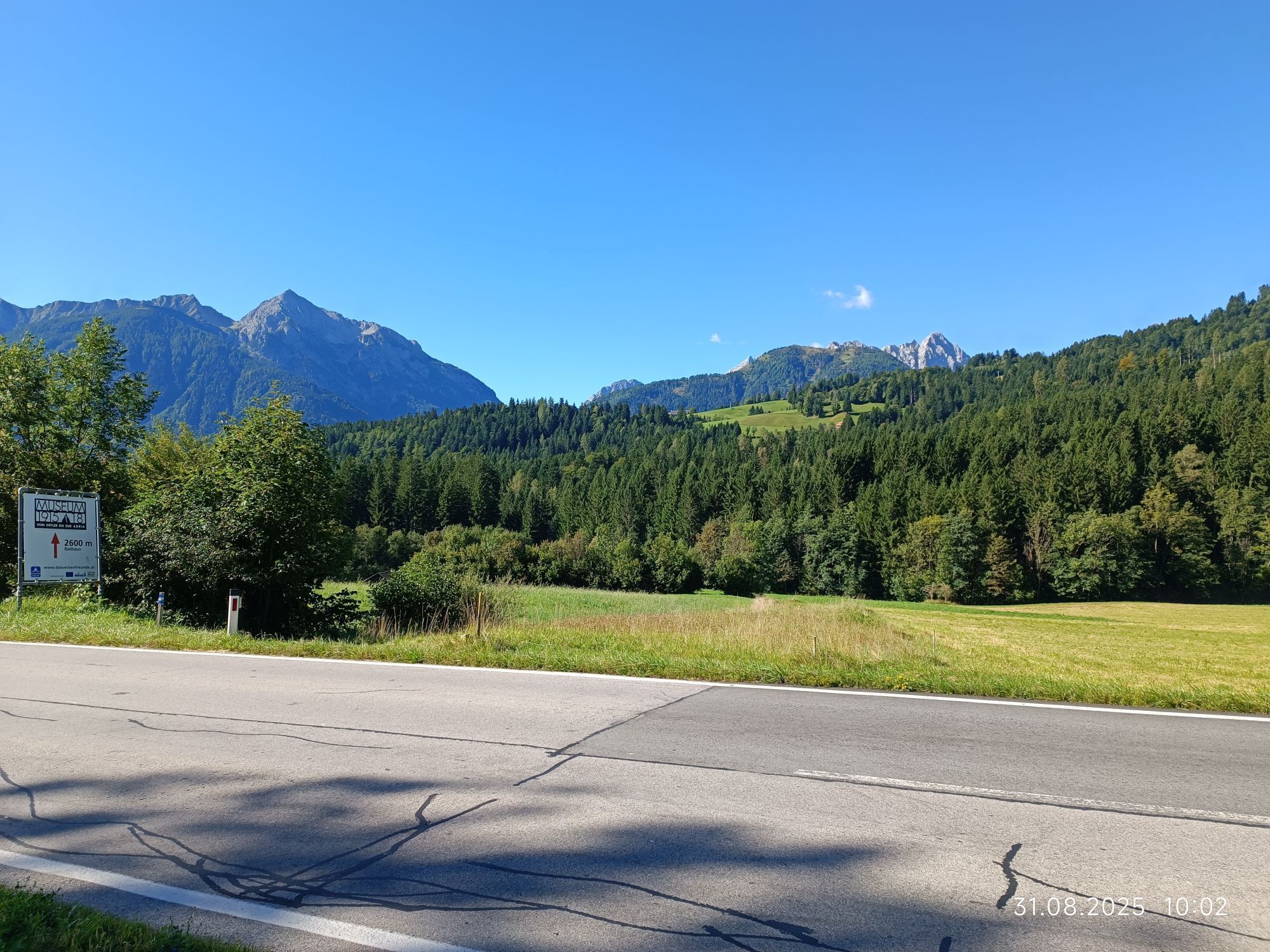
This route corresponds to the Lienz Dolomites Tour, which is held annually in June and will take place for the 24th time in 2011. The Lesachtal, the Pustertal High Road, and the many idyllic mountain villages are the scenic highlights along this route, alongside the impressive Dolomites scenery.

Tehnologija
4 / 6
Stanje
4 / 6
Pokrajina
5 / 6
Izkušnje
4 / 6
Najboljši letni čas
Jan
Feb
Mar
Apr
Maj
Jun
Jul
Avg
Sep
Okt
Nov
Dec
Avtor
Zagotavlja Kärnten
Logo
Skupna turneja
Zemljevid
Dolomites Tour
srednja
Cestno kolo
125.87 km
Napaka
Zgodila se je napaka. Prosimo, poskusite znova.
Informacije o poti
Pot

Oberdrauburg - Gailberg - Kötschach-Mauthen - Lesachtal - Kartitsch - Strassen - Abfaltersbach - Anras - Kosten - Bannberg - Leisach - Lienz - Tristach - Lavant - Nikolsdorf - Oberdrauburg

Dodatne informacije in nasveti
Stopnja težavnosti

4

Dodatne informacije
www.dolomitensport-lienz.com

www.lesachtal.com

Še ni pregledov
Napišite pregled

Mnenja pomagajo drugim uporabnikom pri izbiri naslednje pustolovščine. Ocenite samo izlet, ne pa tudi vremena ali prigrizka.

Izberite eno od zvezdic, da ocenite ogled
Slaba turneja
Šibka turneja
Povprečna turneja
Dobra tura
Odlična tura
Pohodništvo in sledenje

Pohodništvo in sledenje

prenos za iOSprenos za Android
Pohodništvo in sledenje
Zaradi več kot 550.000 predlogov izletov, podrobnih zemljevidov in intuitivnega načrtovanja poti je aplikacija obvezna oprema za vse ljubitelje narave.
bergfex