


W4 - Bodenalm - East Bank - return by boat - Weissensee


Fotografije naših uporabnikov
-

 © Thomas Krainer 1Ustvarjeno na 18.09.2022
 -
 © Patrick FresenbergerUstvarjeno na 11.05.2024
 -
 © Patrick FresenbergerUstvarjeno na 11.05.2024
 -

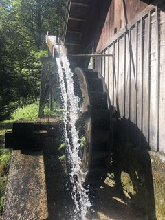
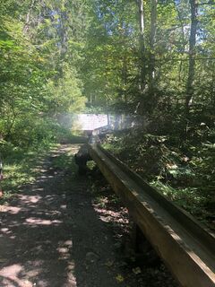
 © Maik KramerUstvarjeno na 18.08.2023
 -
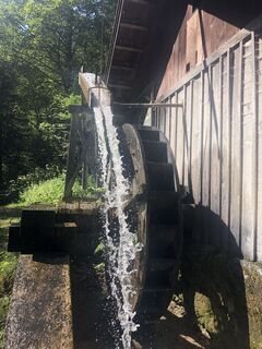
 © Maik KramerUstvarjeno na 18.08.2023
 -
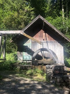
 © Maik KramerUstvarjeno na 18.08.2023
 -
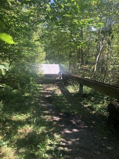
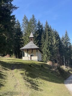
 © Maik KramerUstvarjeno na 17.08.2023
 -
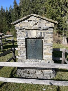
 © Maik KramerUstvarjeno na 17.08.2023
 -
 © Maik KramerUstvarjeno na 17.08.2023
 -
 © Maik KramerUstvarjeno na 17.08.2023
 -
 © Maik KramerUstvarjeno na 17.08.2023
 -
 © Maik KramerUstvarjeno na 17.08.2023
 -

 © Mike NoisternigUstvarjeno na 29.10.2022
 -
 © Mike NoisternigUstvarjeno na 29.10.2022
 -
 © Mike NoisternigUstvarjeno na 29.10.2022
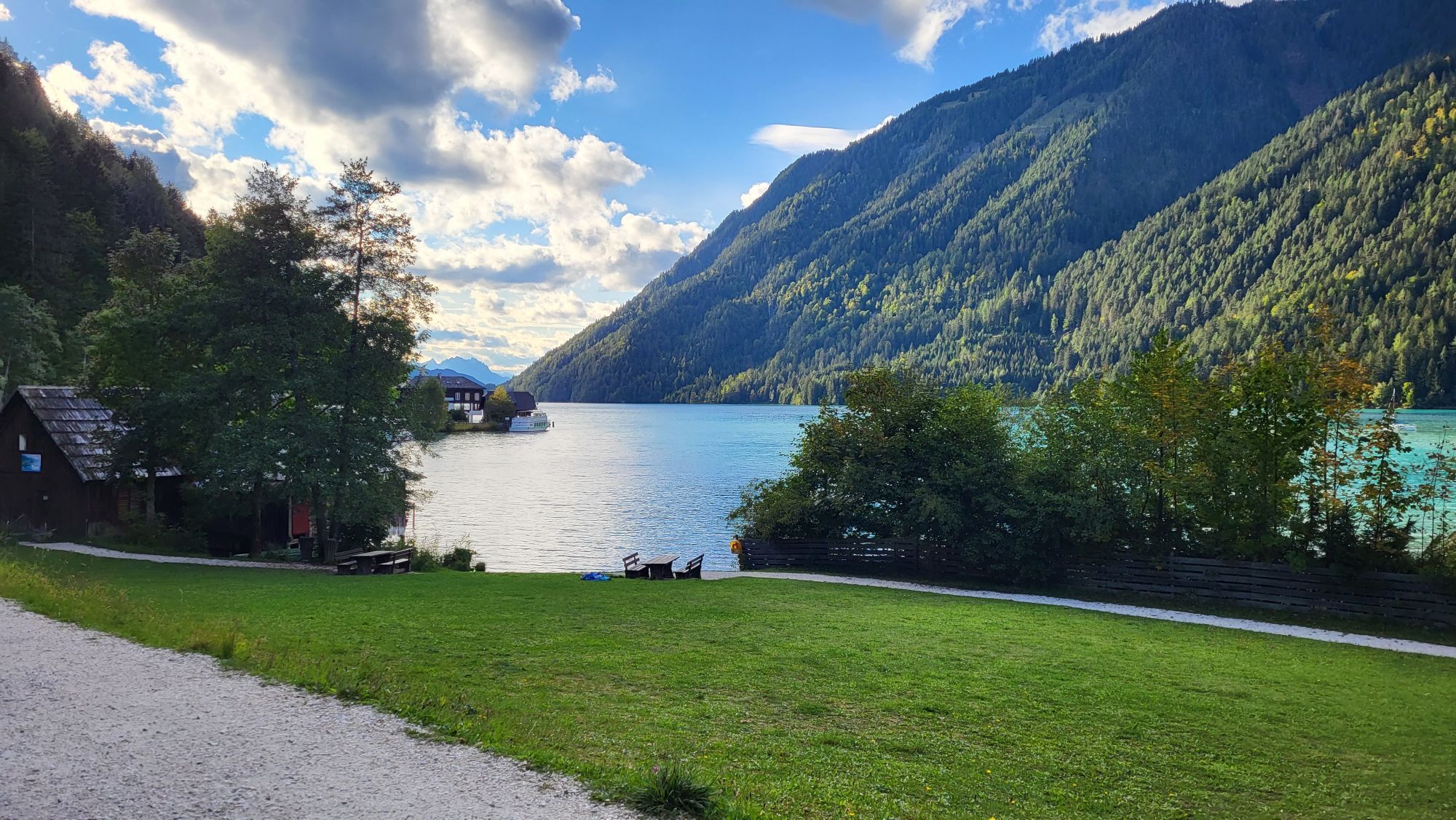
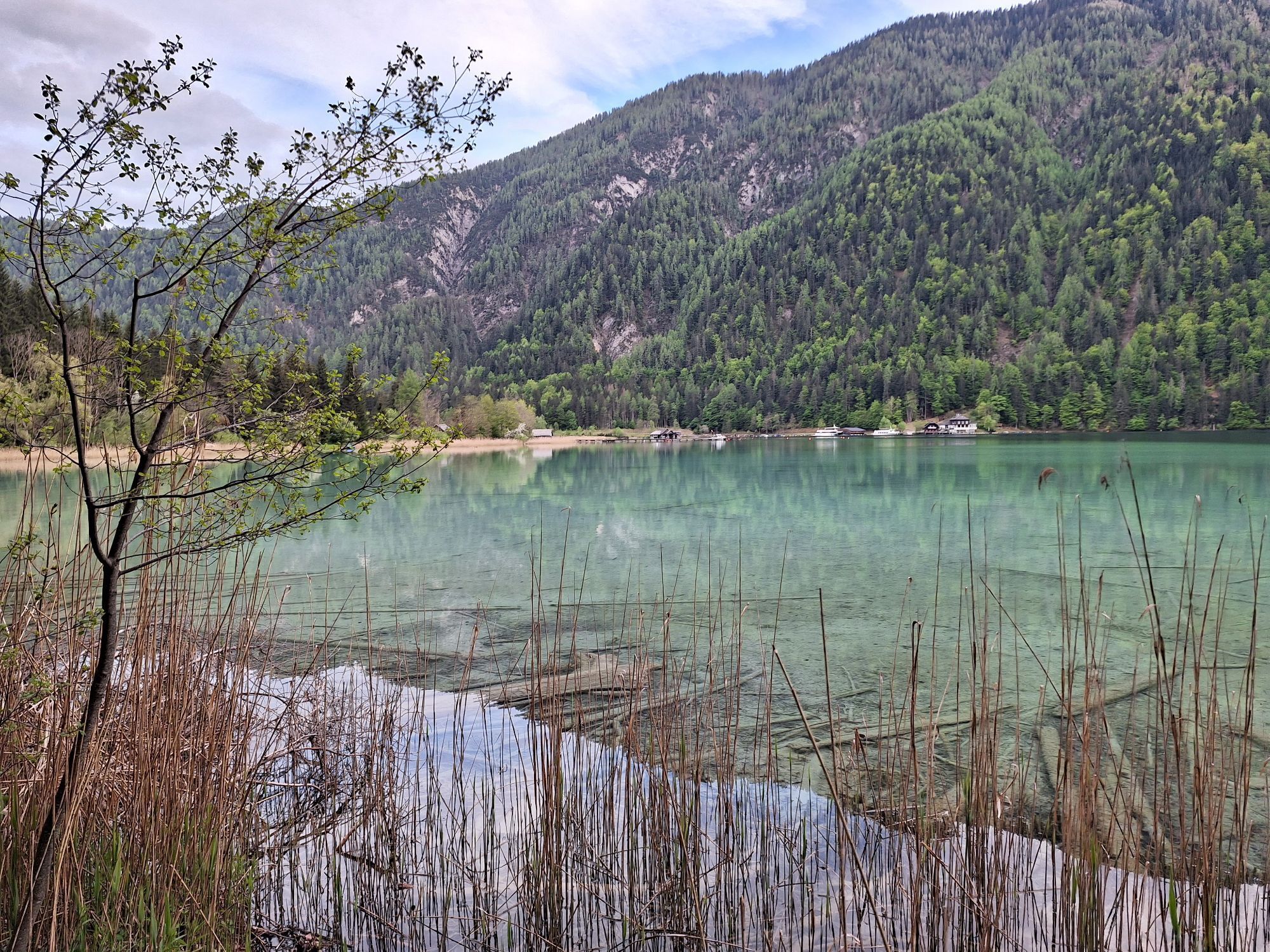

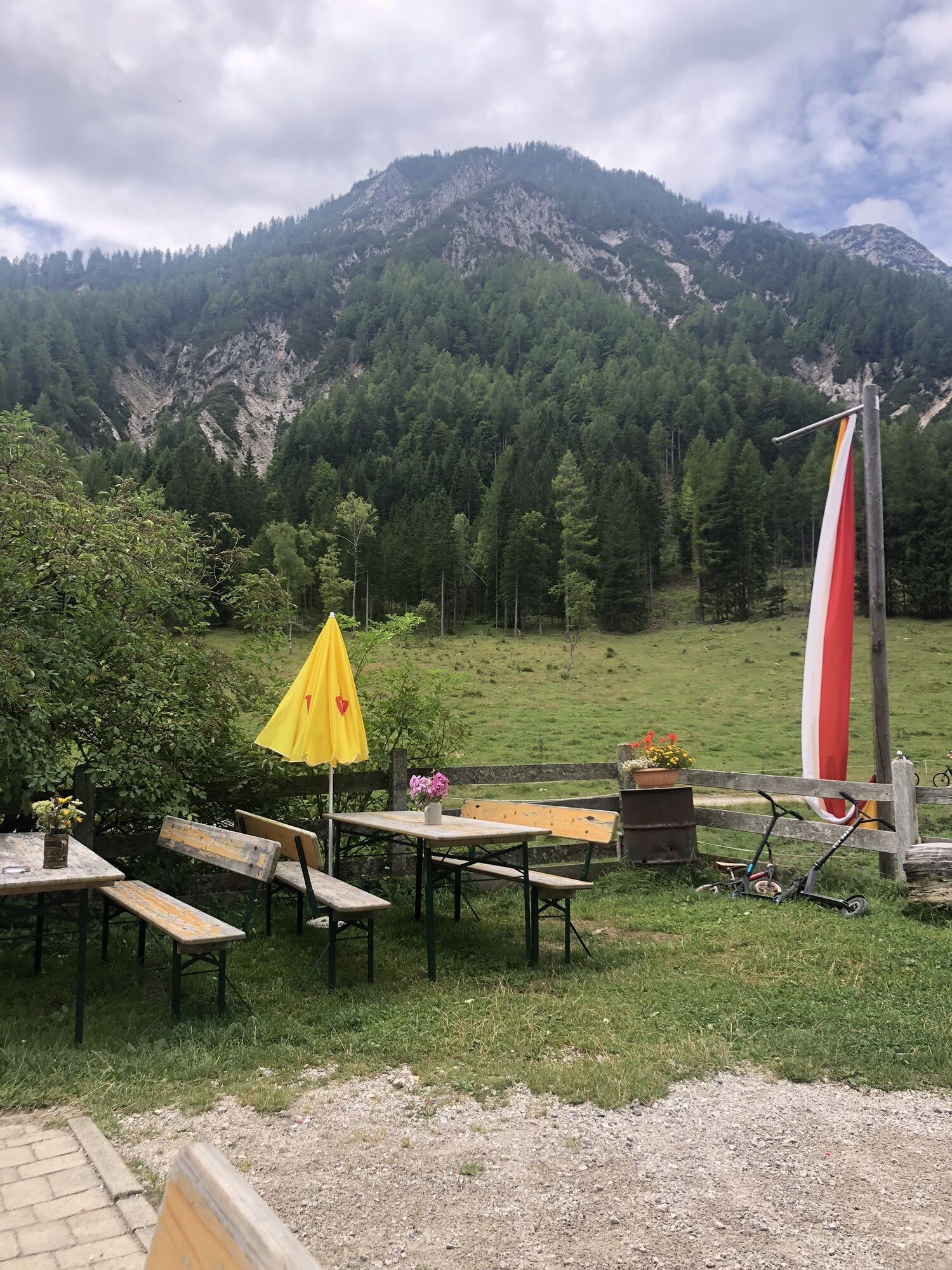

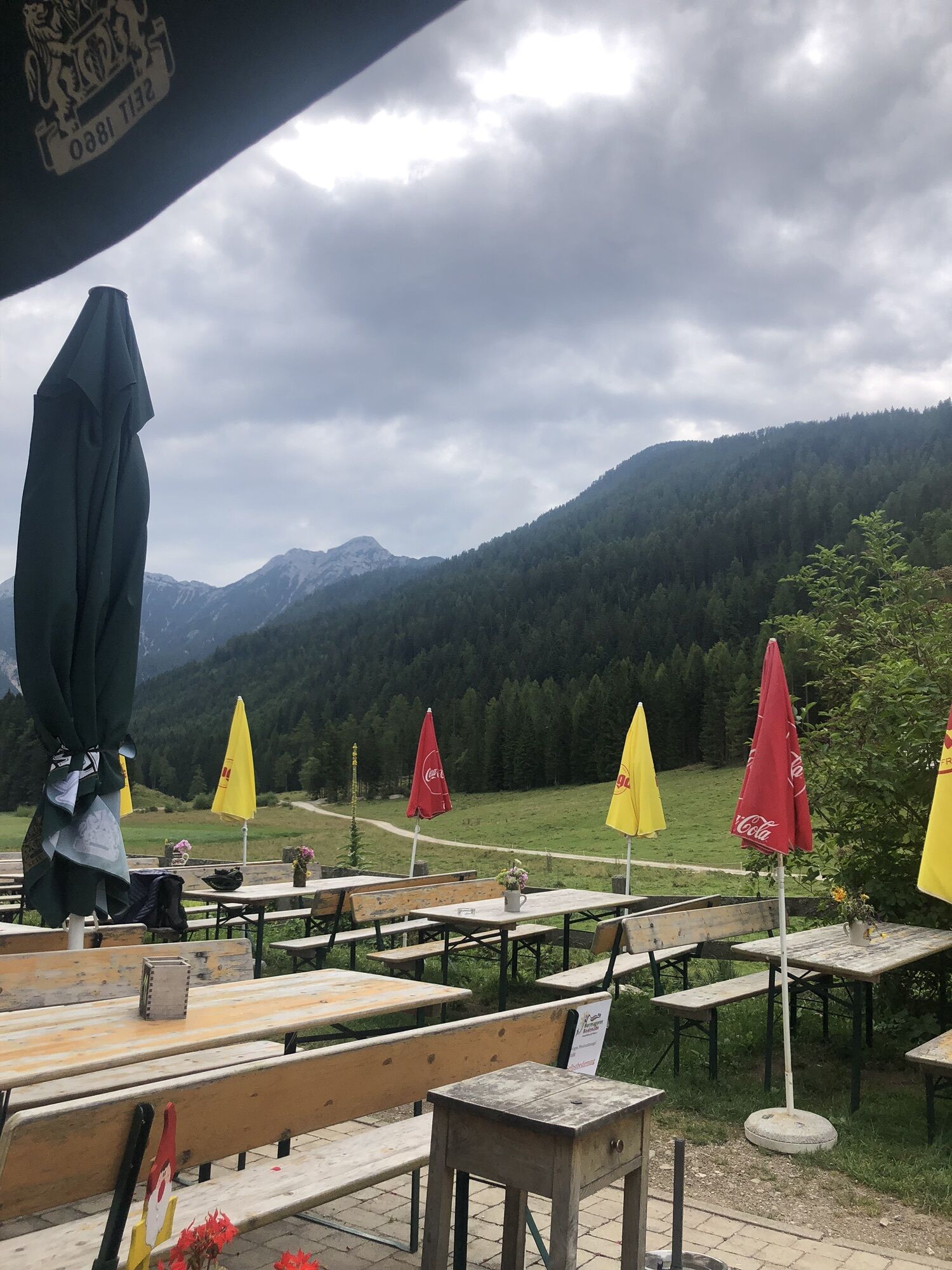

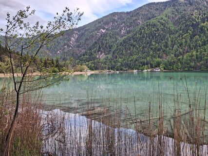
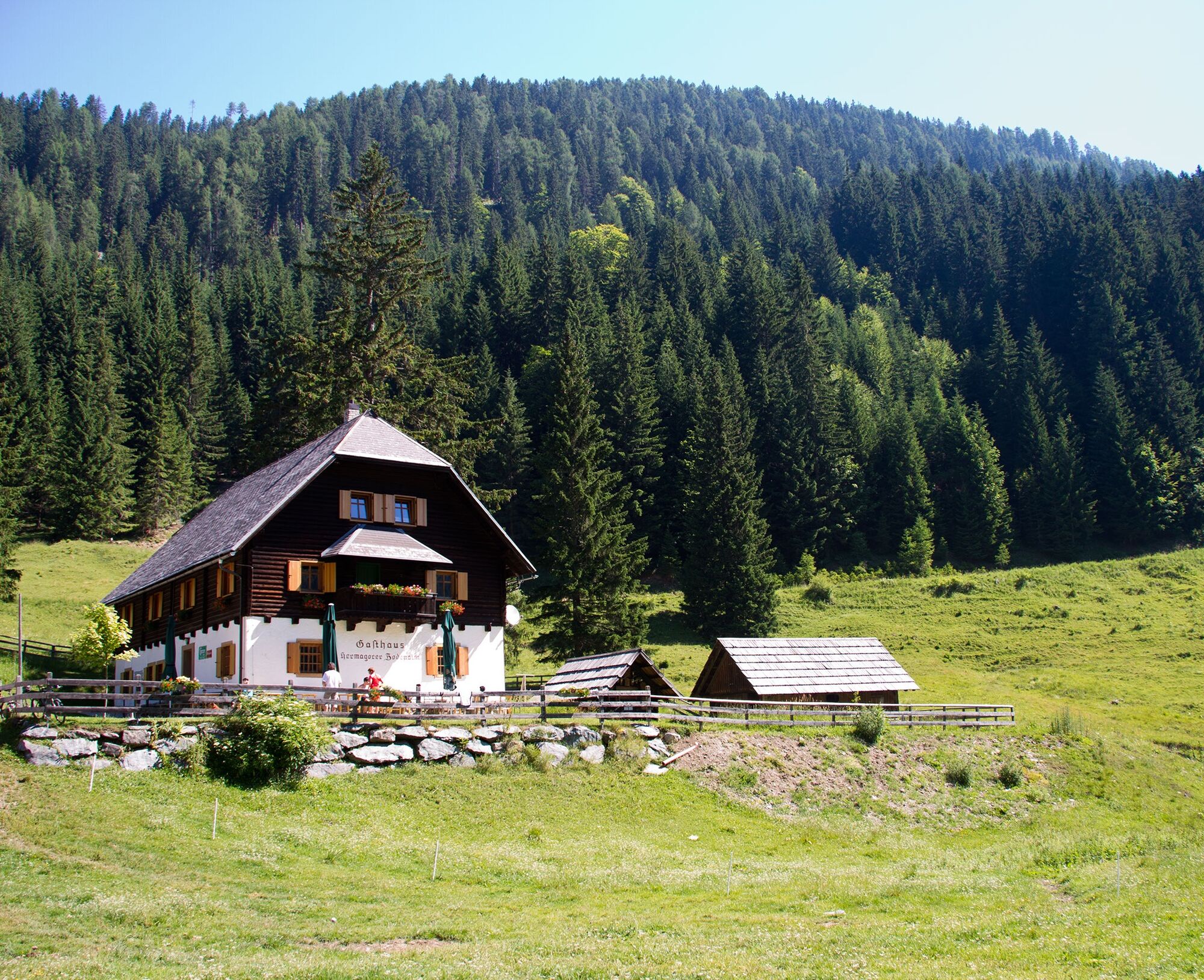
The Hermagorer Bodenalm was built in 1928 and is open from early May to mid-October. In summer months, about 30 dairy cows and 10 young cattle graze on the lush green meadows and the high-quality milk...
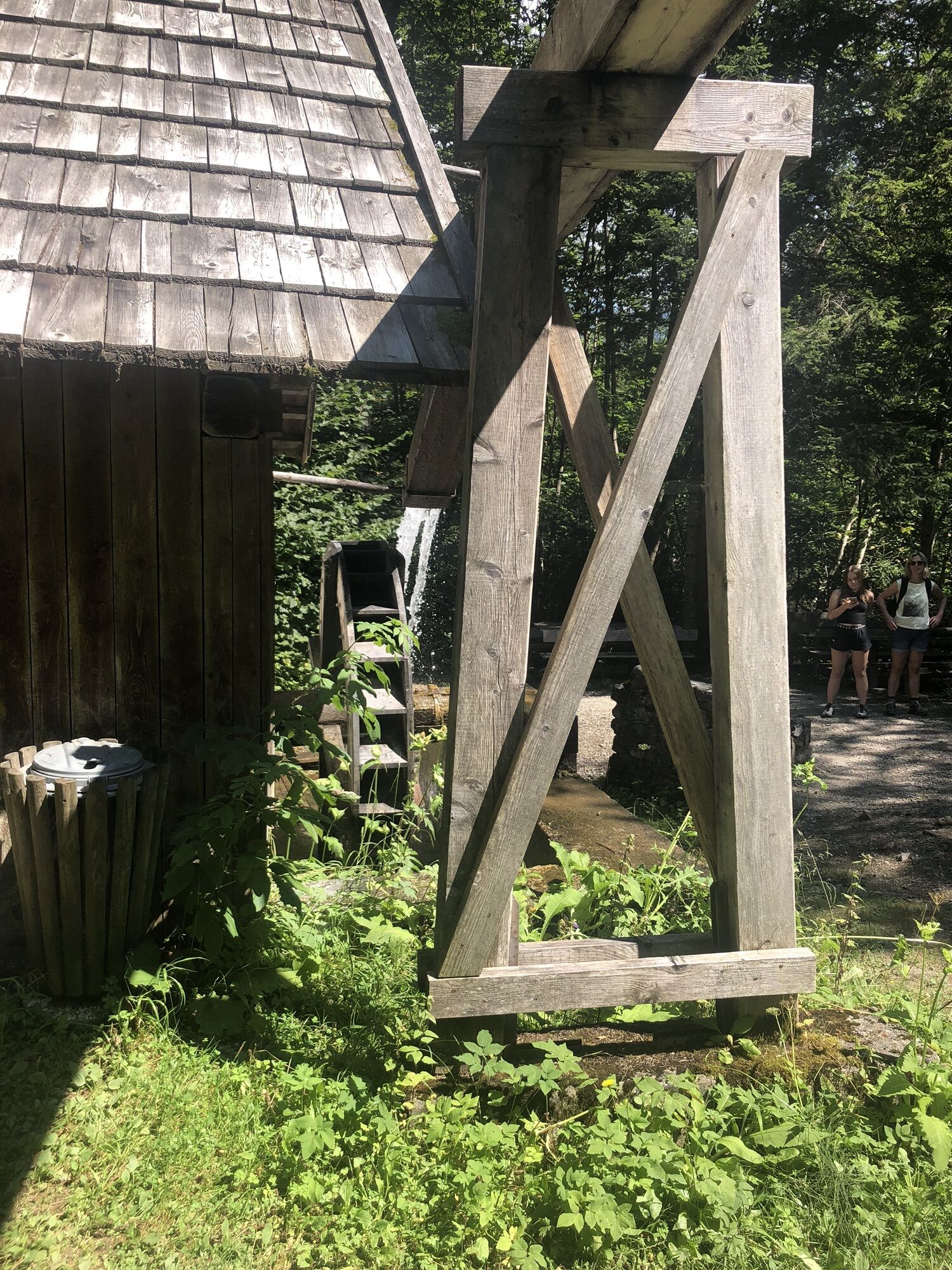
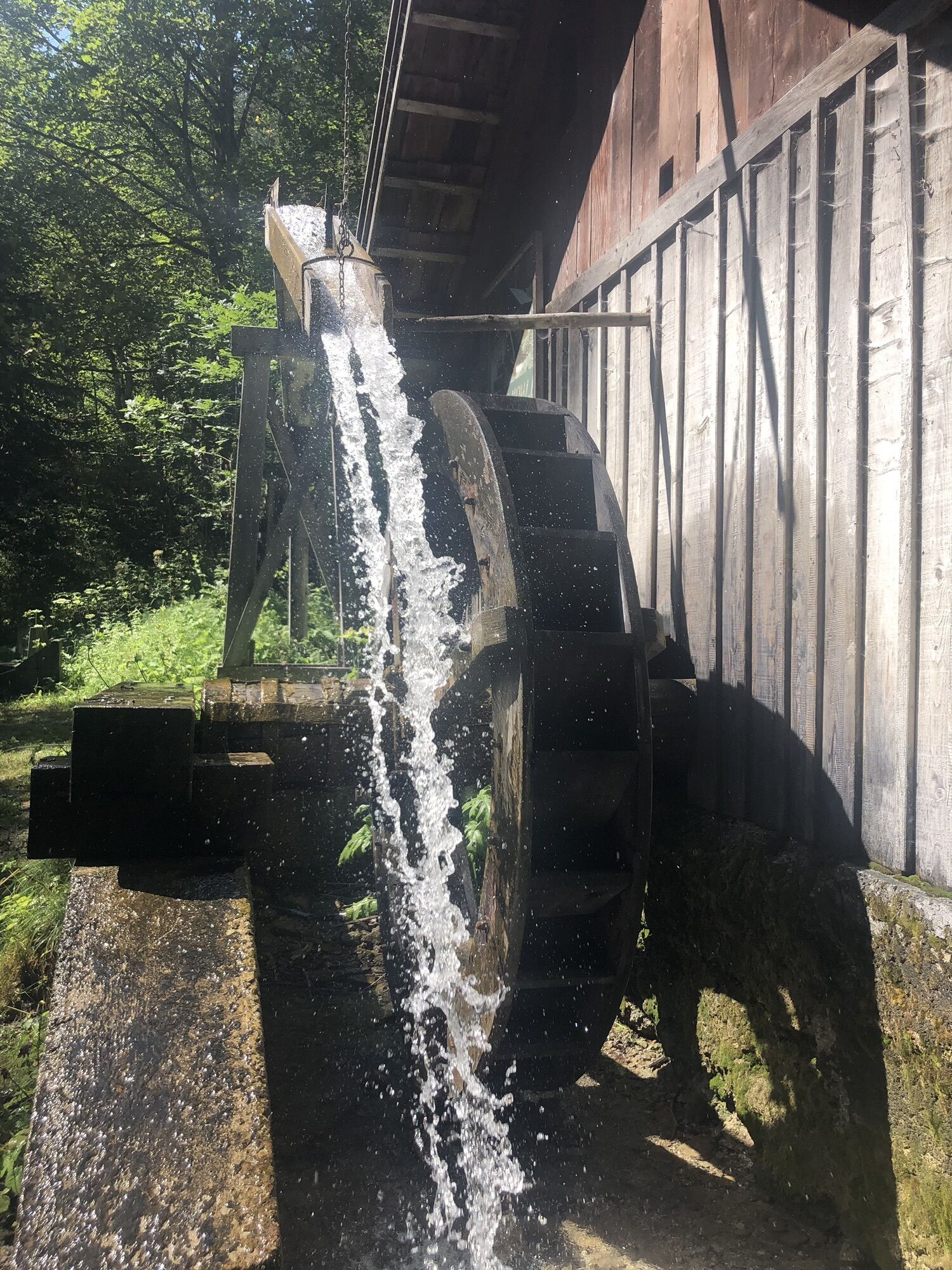
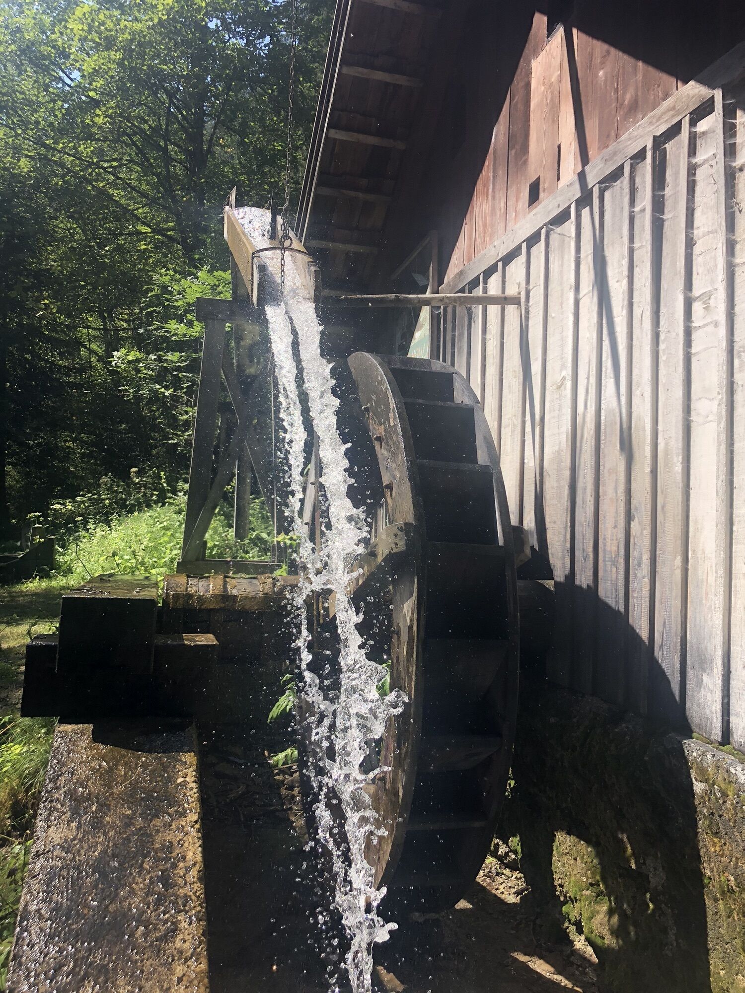
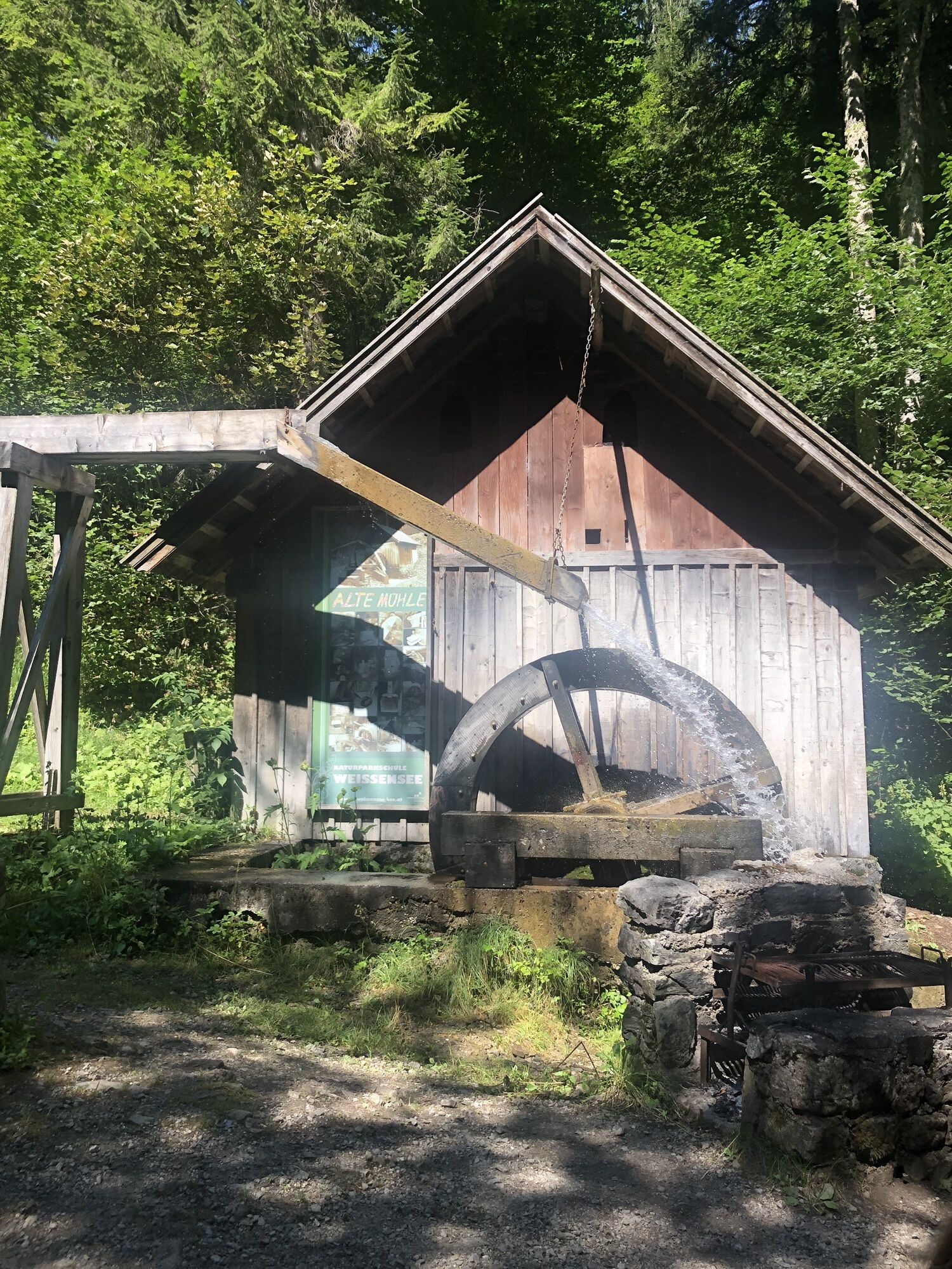
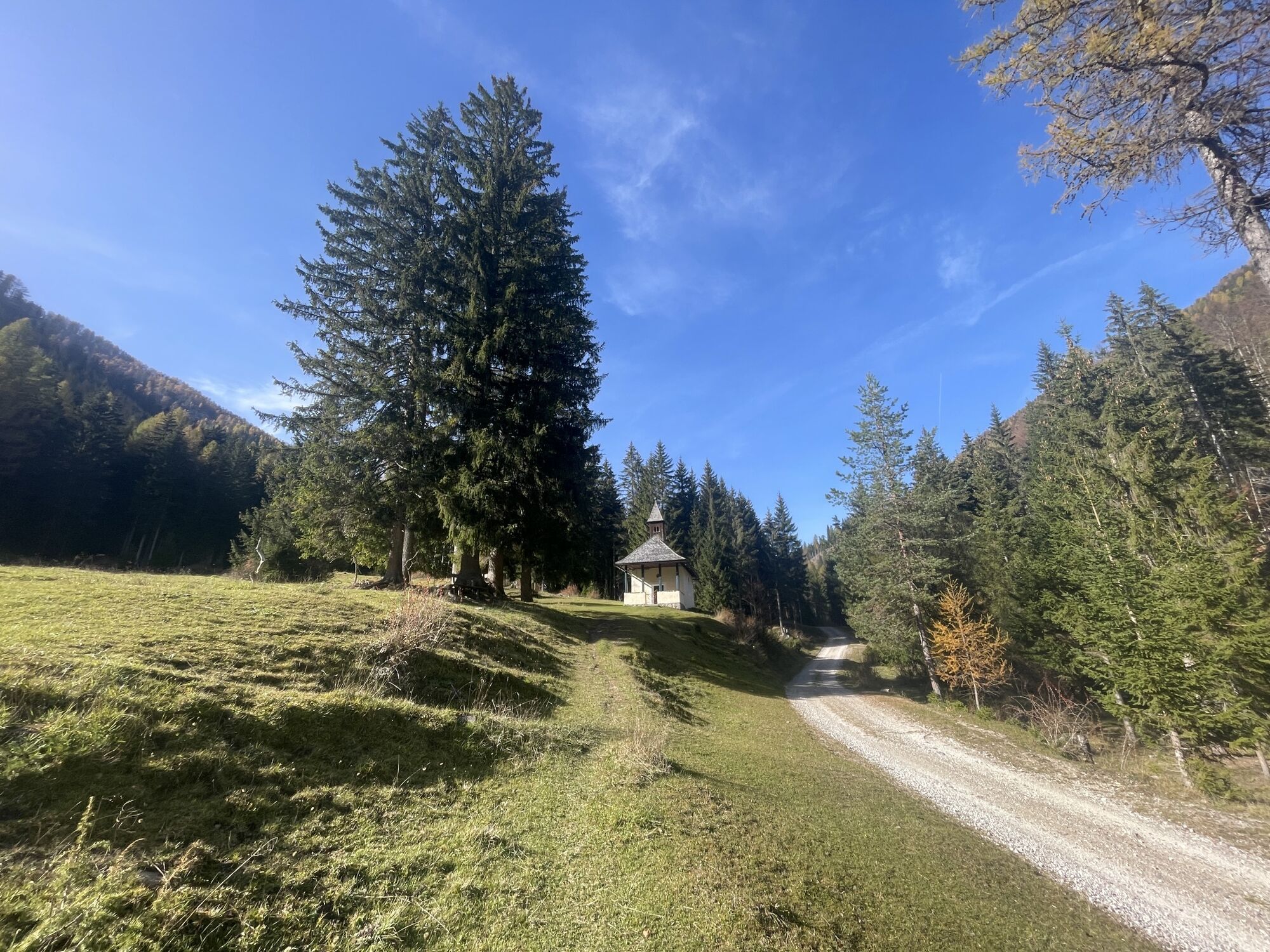
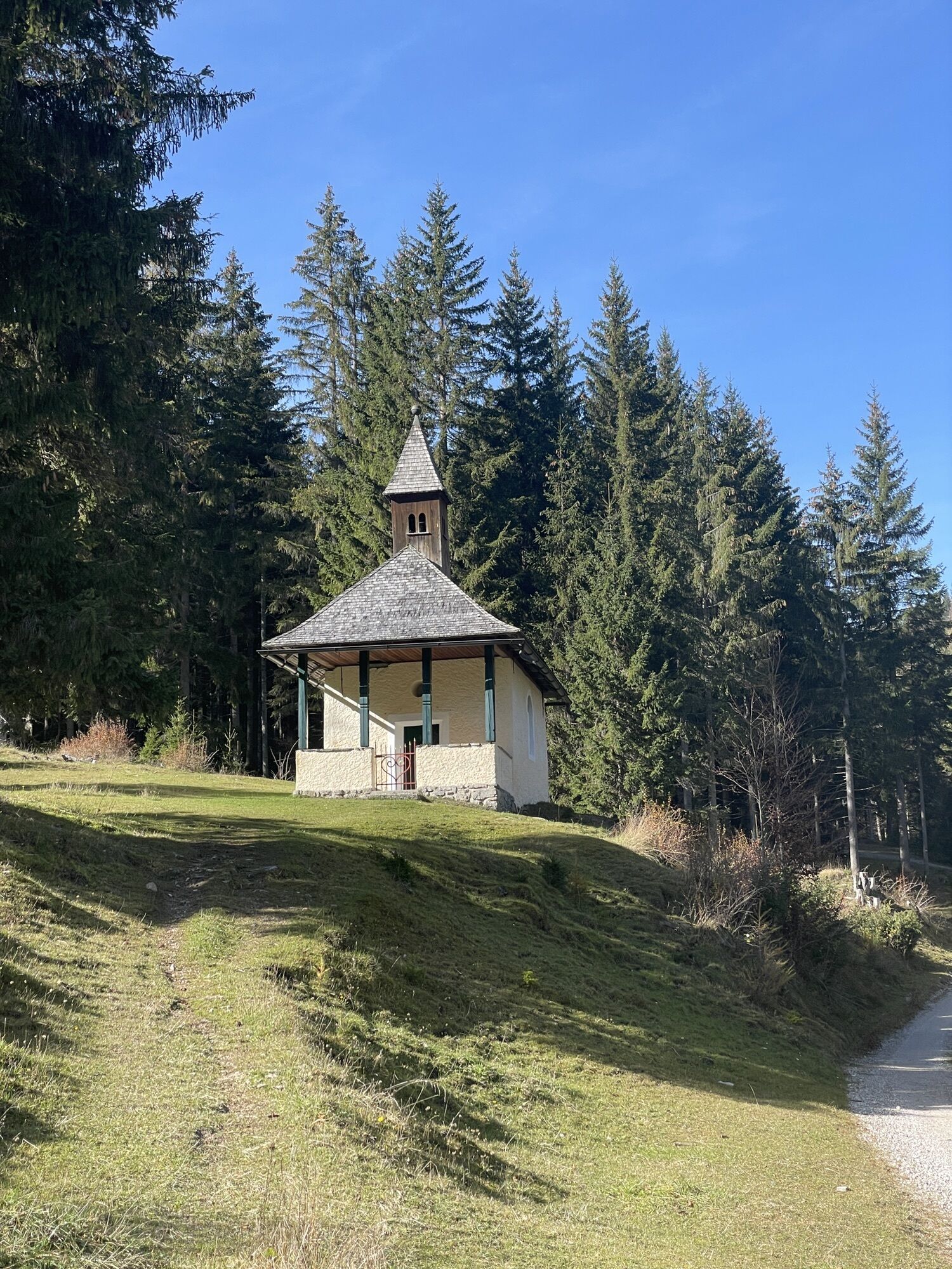
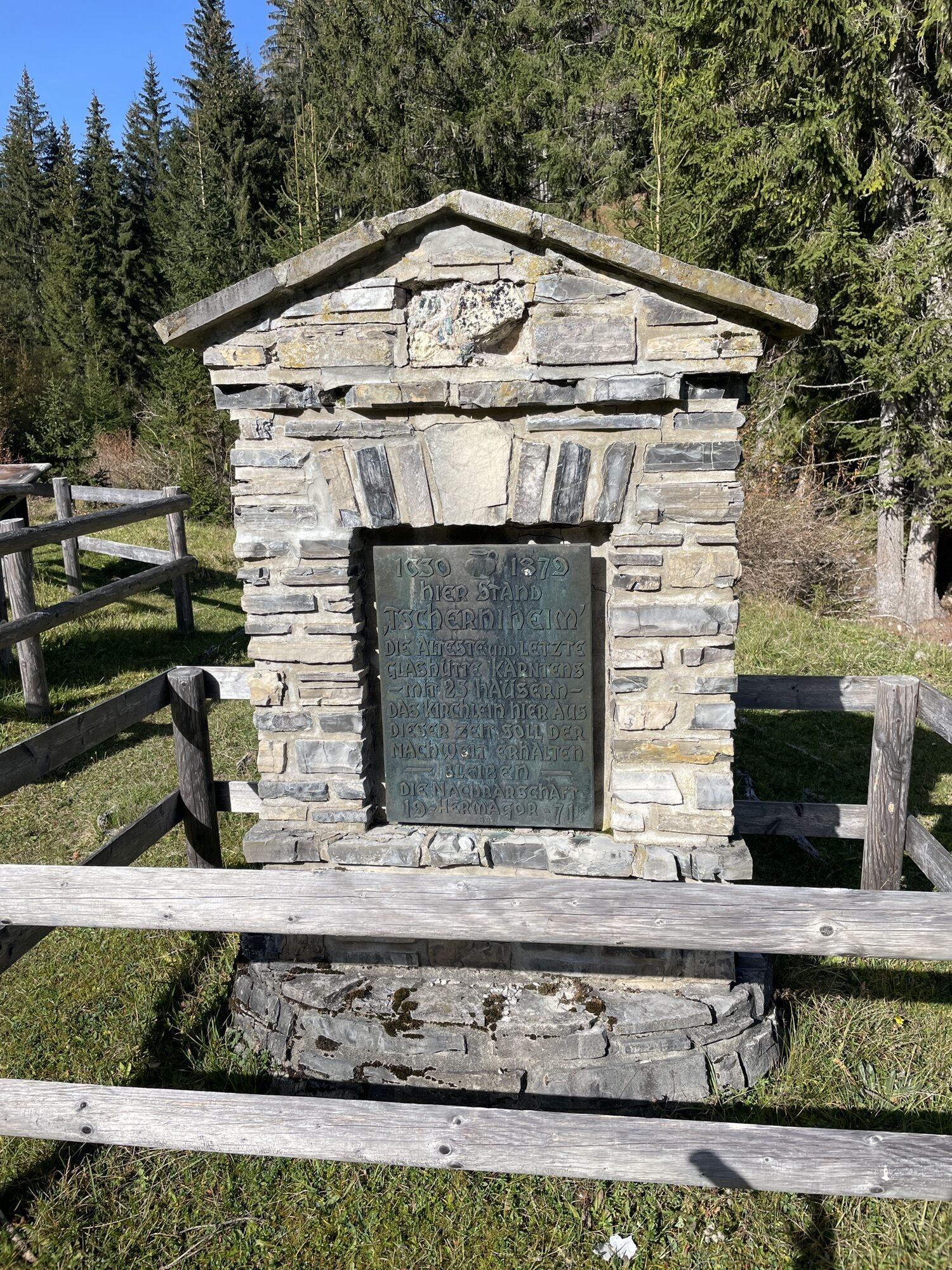
The Hermagorer Bodenalm was built in 1928 and is open from early May to mid-October. In summer months, about 30 dairy cows and 10 young cattle graze on the lush green meadows and the high-quality milk is processed into cheese and butter in the in-house dairy! Also: the Fischeralm or Gasthof Dolomitenblick. A highlight is the return journey by boat to Techendorf. Along the way, you can also find the old glassworks "Tschernieheim" - on the trail of forest glass.

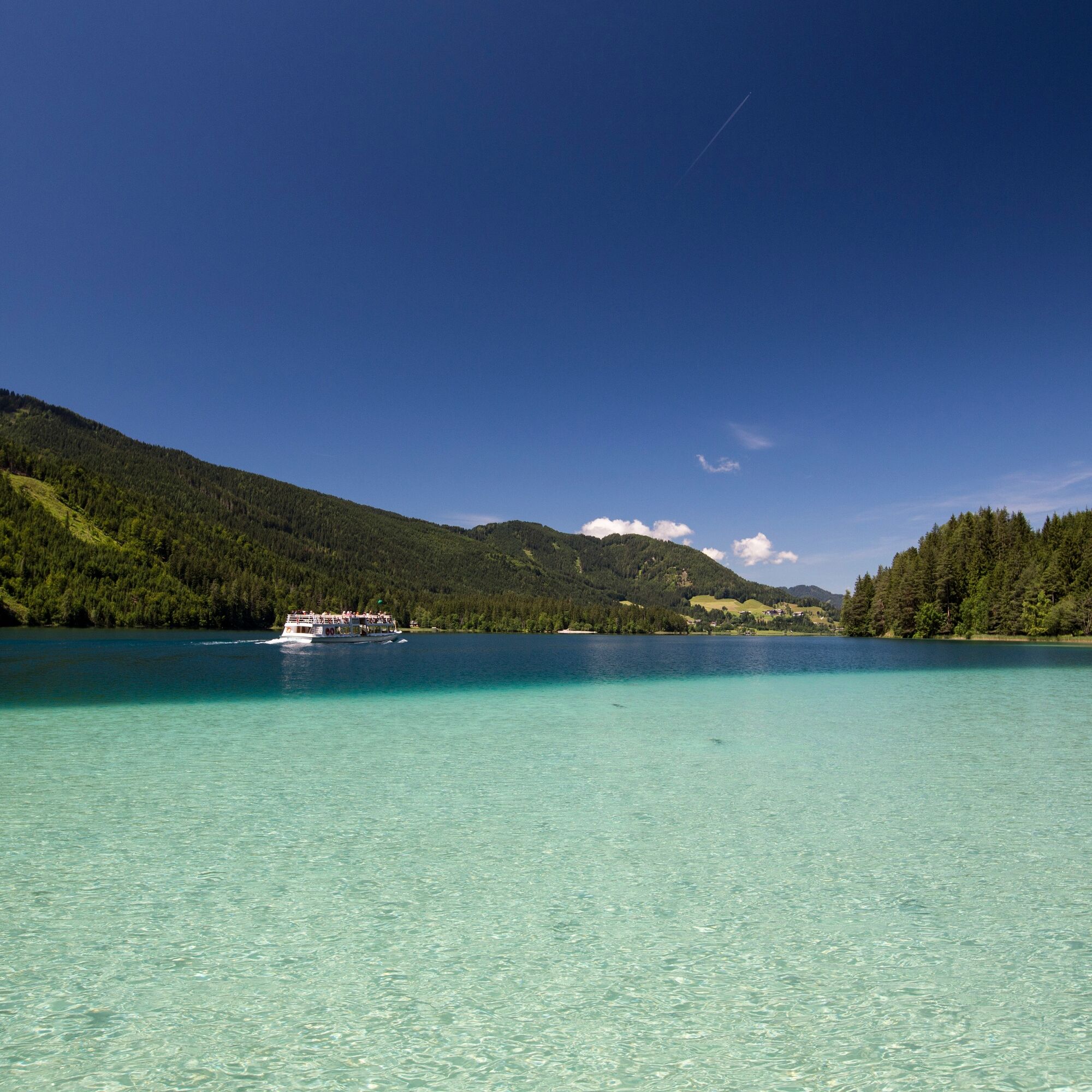
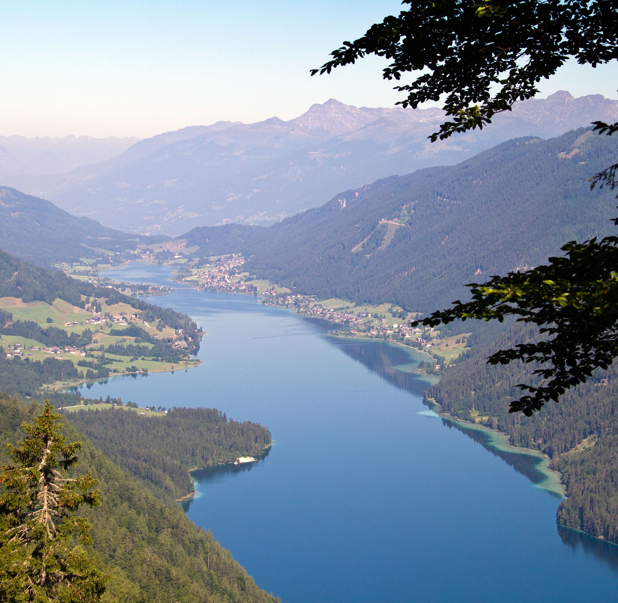
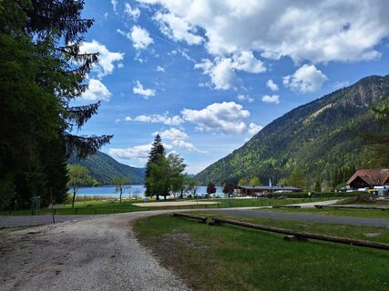
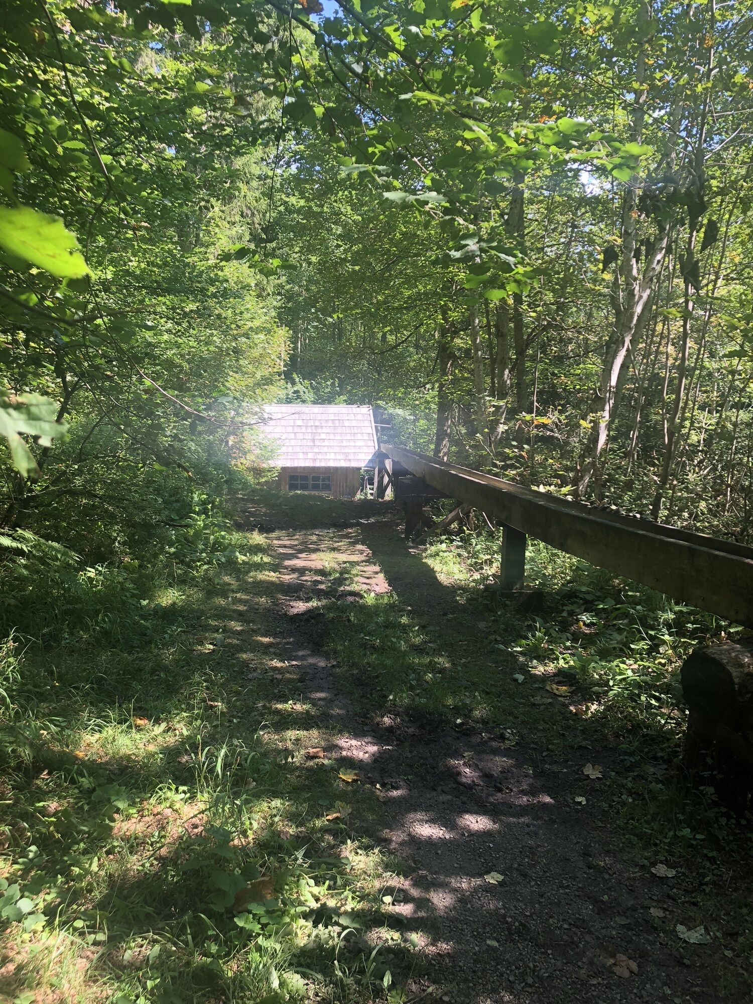
: "Weissensee Haus" in Techendorf. From there, ride on the paved south shore road to Naggl. After the barrier on the outskirts of Unternaggl, you reach a gravel road. The route leads over a short descent to "Paterzipf", then gently ascending to the foot of the "Alplbichl". The following climb to the "Bichl" (approx. 1 km) is challenging, then you reach the Bodenalm (serviced). Past the Bodenalm Bründl, the route goes downhill from here. The route passes "Tscherniheim" (glassblower village) and over the Fischeralm (serviced), past the Fischeralm Bründl to the Stockenboier Landesstraße. There turn left and cycle on the paved road until shortly after the "Gasthof Weißenbacher". There keep left and head towards Weissensee East Bank to the "Gasthof Dolomitenblick". From there, return by boat to Techendorf (please observe the timetable).
Da
A functioning MTB (hardtail is entirely sufficient), water bottle, backpack with change of clothes and warm jacket for the descent.
Helmet is mandatory for every bike route!
Liability at your own risk! Beware of car traffic!
From the north (D, NL, B, L, DK, SK):
Munich - Salzburg - Tauern Motorway (A10) - Spittal junction - Greifenburg - Weissensee
Munich - Salzburg - Bad Gastein (train loading-Tauern tunnel) - Mallnitz - Möllbrücke - Greifenburg - Weissensee
Munich - Großglockner High Alpine Road - Heiligenblut - Winklern - Iselsberg - Oberdrauburg - Greifenburg - Weissensee
Munich - Mittersill - Felbertauern road - Lienz - Oberdrauburg - Greifenburg - Weissensee
From the west (CH, F, I):
Innsbruck - Mittersill - Felbertauern road or Brenner Motorway - Lienz - Oberdrauburg - Greifenburg - Weissensee
From the east (A, H):
Southern Motorway (A2) - Villach - Spittal - Greifenburg - Weissensee or Villach - towards Italy until Hermagor/Gailtal exit - Hermagor - Weissensee
Western Motorway (A1) - Salzburg - Tauern Motorway (A10) - Spittal junction - Greifenburg - Weissensee
From the south (I, SLO, HR):
Udine - Tarvisio - Hermagor/Gailtal exit - Hermagor - Weissensee
Ljubljana - Karawanks Tunnel - Villach - towards Italy until Hermagor/Gailtal exit - Hermagor - Weissensee
...by train
Travel comfortably and stress-free by train! Use the station shuttle service - it takes you from Greifenburg station to the Nature Park Weissensee, 10 km away. Shuttle reservations at: www.naturparkshuttle.com (reservations by 6 pm the previous day)
Parking lot behind the Weissensee Haus (paid)
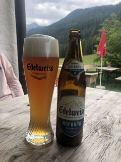
Be sure to try the crowned alpine cheese from the Hermagorer Bodenalm.
Priljubljeni izleti v okolici
-
4.9
Weissensee Ost- nach Westufer
svetlobaPohodništvo 10.2 km -
5.0
Ski tour Goldeck from Seetal
svetlobaSmučarska tura 2.52 km -
4.8
Slow Trail Weissensee
srednjaPohodništvo 6.69 km -
4.2
Goldeck Rundwanderung
svetlobaPohodništvo 7.40 km -
5.0
RW_N9 Weißenbachklamm
težkoPohodništvo 8.16 km -
4.6
W5 - Naggler Alm Round Weissensee
srednjaMountainbike 15.8 km -
4.5
Bergstation Weißensee bis Golz
srednjaPohodništvo 14.8 km -
Winter hike to Goldeck
svetlobaZimsko pohodništvo 5.43 km -
5.0
Weissensee Steinwandpfad
srednjaPohodništvo 9.10 km -
5.0
Möselalm - Weißbriach/Gitschtal
svetlobaPohodništvo 5.12 km
Pohodništvo in sledenje


Ne zamudite ponudb in navdiha za naslednje počitnice
Vaš e-poštni naslov je bil dodan na poštni seznam.