


ÖPNV-Tour auf dem Rothaarsteig: Von Haiger-Dillbrecht nach Wilnsdorf-Rudersdorf
The hike begins with a ride through the longest railway tunnel in North Rhine-Westphalia. The double-track Rudersdorf tunnel is 2652 m long, has been in operation since 1915, and electrified since 1965....
The hike begins with a ride through the longest railway tunnel in North Rhine-Westphalia. The double-track Rudersdorf tunnel is 2652 m long, has been in operation since 1915, and electrified since 1965. The Hessian part of the Rudersdorf tunnel is a cultural monument according to the Hessian Monument Protection Act. It penetrates the Tiefenrother Höhe (552.3 m) and thus the Rothaarsteig.
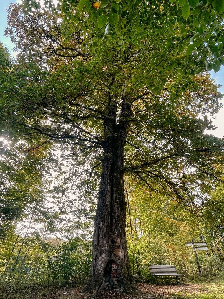
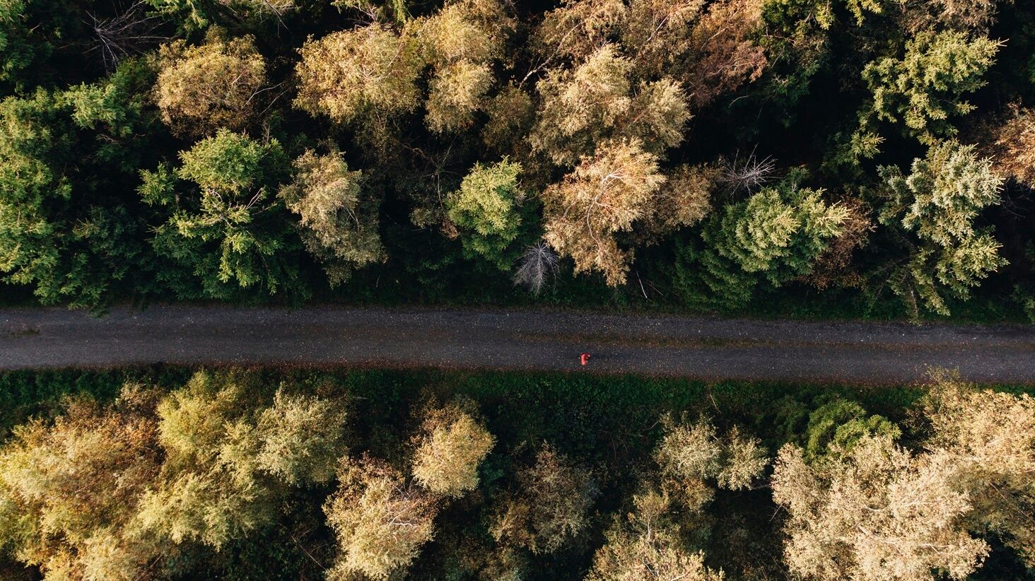
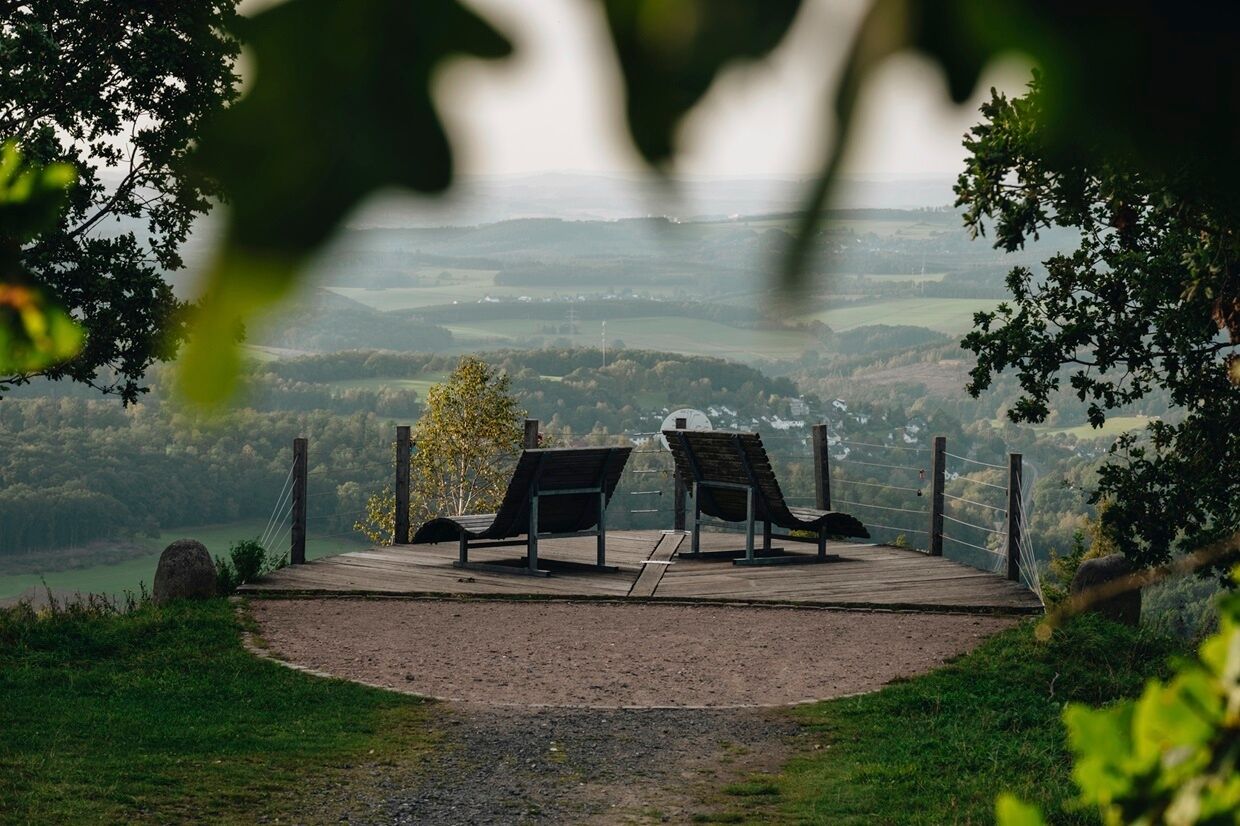
The Dill mountain route is marked with the black and white Rothaarsteig logo. On the main street in Dillbrecht you will find the marking, turn left, and follow the black and white logo towards the Lucas oak. At the first few meters, you go steeply uphill over meadows. The path and forest roads lead the way through varied forests uphill towards the Rothaarsteig, which you meet shortly before the Lucas oak. From there, continue over the Rothaarsteig marked with the red and white logo to the Hauberg trail. The typical Hauberg forestry for this region is presented here on a small educational trail. At the highest point, the "Nose in the Wind" offers a fantastic view over Siegerland. There you leave the Rothaarsteig and follow the access path marked with the yellow-black Rothaarsteig logo downhill to Rudersdorf. The access path leads to the station, the starting point of the hike.
This hike is 10.6 kilometers long, with 240 meters of elevation to overcome. At least three, rather three-and-a-half hours of hiking time should be planned. There are no places to eat along the way.

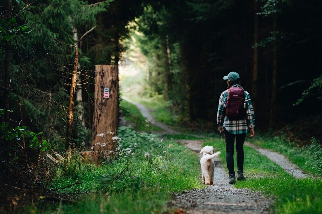
Normal hiking equipment is recommended.
The route does not demand special skills from the hikers.
Take the train to the Wilnsdorf-Rudersdorf station or to the Haiger-Dillbrecht station.
There are parking lots at Wilnsdorf-Rudersdorf station and at Haiger-Dillbrecht station.
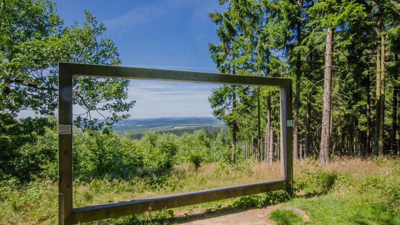
Rest at the viewpoint "Nose in the Wind" with a magnificent panoramic view over the entire Siegerland.
Priljubljeni izleti v okolici
-
Lahnwanderweg 1st stage Lahn source – Feudingen
srednjaPohodništvo 14.3 km -
Rothaarsteig-Spur Wacholderweg
srednjaPohodništvo 16.1 km -
Rothaarsteig-Spur Dill-Bergtour
srednjaPohodništvo 15.9 km -
Rothaarsteig-Spur Gernsdorfer Höhentour
srednjaPohodništvo 13.4 km -
Rothaarsteig Westerwaldvariante
težkoPohodništvo v daljavo 71.8 km -
ÖPNV-Tour: Auf dem Rothaarsteig von Dillenburg nach Haiger
srednjaPohodništvo 13.2 km -
Rundweg Obersdorf
Pohodništvo 8.20 km -
Köhlerpfad
srednjaTematska pot 5.17 km -
Rothaarsteig von der Ginsberger Heide zur Lahnquelle
težkoPohodništvo 19.1 km -
Rothaarsteig von der Haincher Höhe nach Dillenburg
težkoPohodništvo 27.3 km

Pohodništvo in sledenje


Ne zamudite ponudb in navdiha za naslednje počitnice
Vaš e-poštni naslov je bil dodan na poštni seznam.