


11th section Werra-Burgen-Steig Hessen
Fotografije naših uporabnikov
Certified long-distance trail from Hann. Münden to the Tannenburg near Nentershausen. The route runs 133 km through the Geo-Nature Park Frau-Holle-Land.

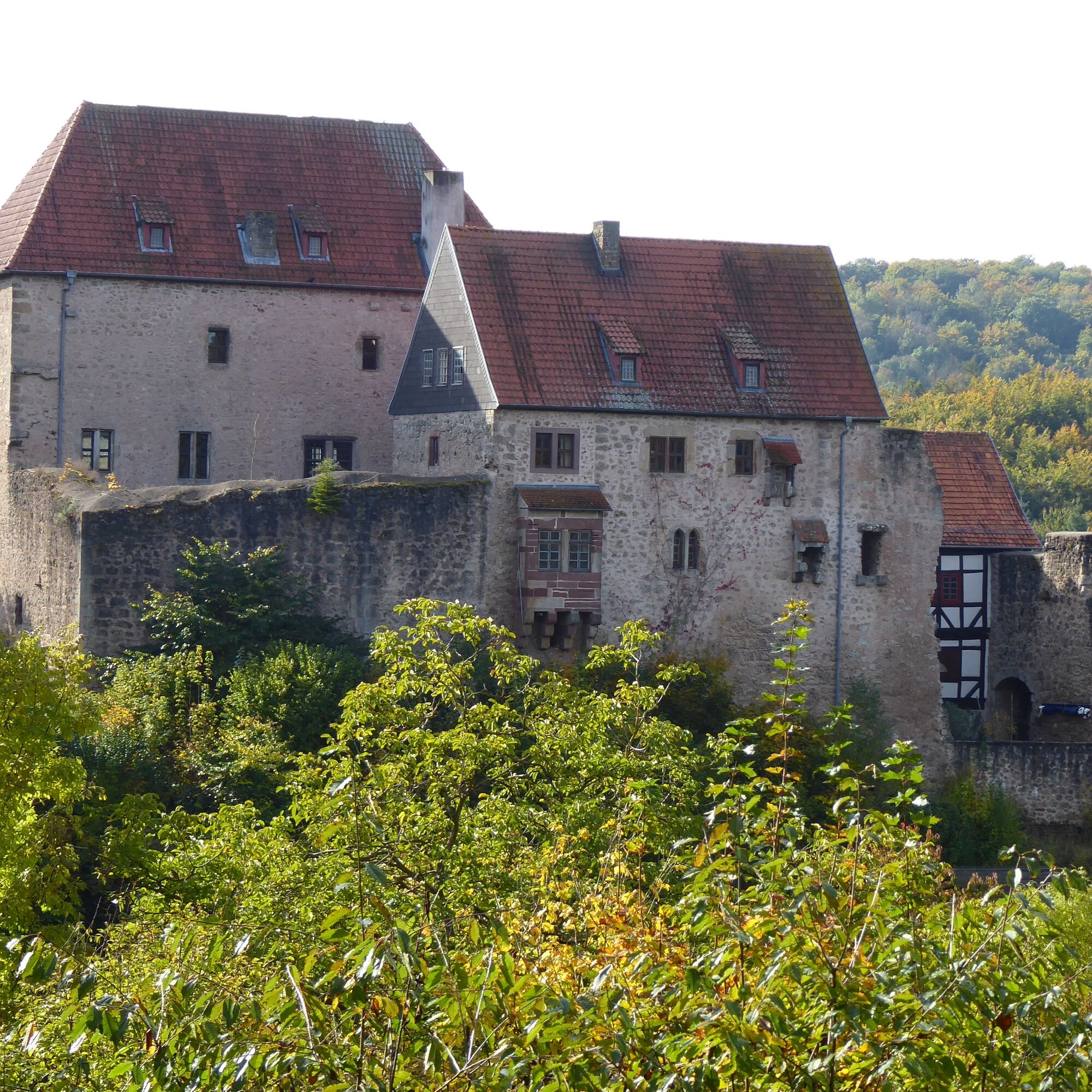
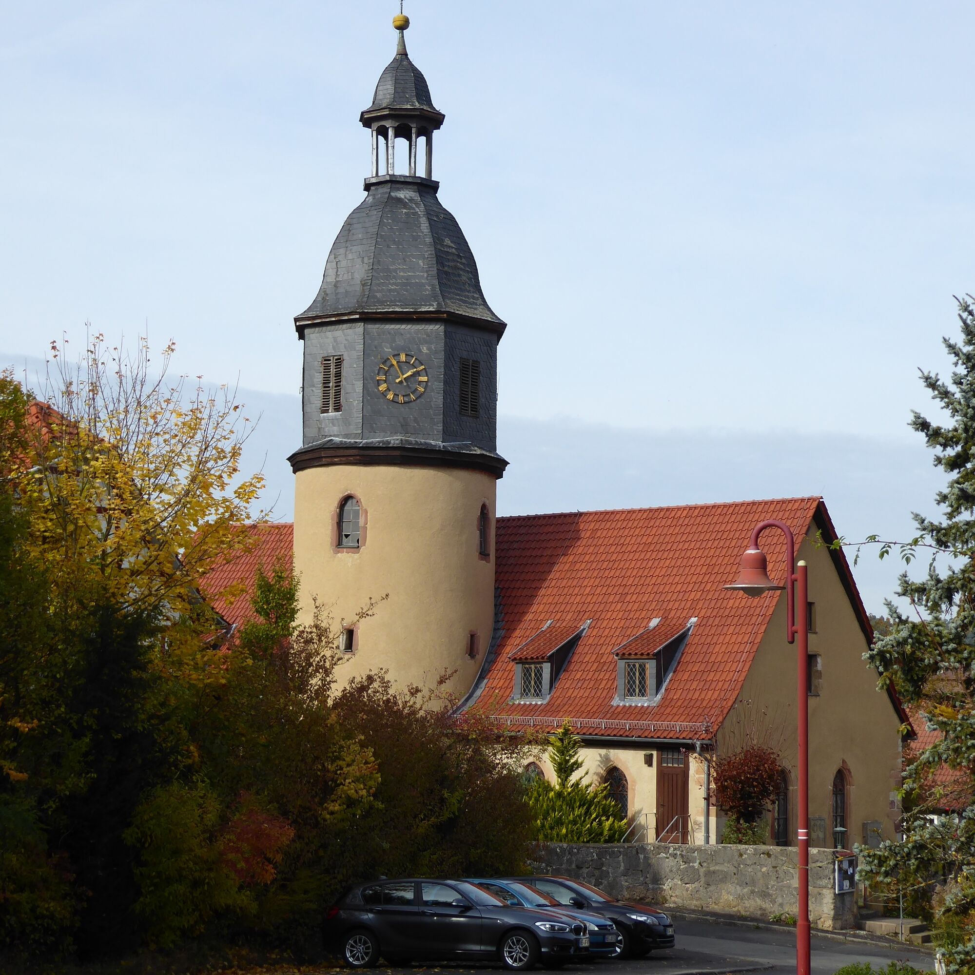
Immediately before the gate entrance to the hotel, follow the path to the right and then immediately to the left past some farm buildings. To the right, a handsome half-timbered building with a tower catches the eye. A few steps further, keep left at the fork and walk gently uphill on the paved path with views over meadows and fields. Upon reaching the height at the forest edge, continue straight ahead and walk about 1.6 km through the forest on the wide, level forest road. After leaving this, follow the marking into a meadow valley. Opposite a transformer house, a path branches off to the left; shortly after crossing a creek, you stand before the federal road B400.
On the opposite side, the path continues left, passing fields toward the forest. Following the forest edge to the right, after about 600 m with the end of the forest already in sight, turn left and cross the narrow forest area. Here you have reached the Gerbachsgrund with the Gerkbach and walk comfortably to the left. Quickly, two ponds are reached, between which the Werra-Burgen-Steig Hessen runs and then continues to the right. Only a few meters further, keep right again on the crossing path and walk again along the forest edge. After almost 1 km – on the right you look over fields to the federal road – turn sharply left at the intersection towards Blankenbach. Attention: after about 50 m turn right again! The wide path continues to climb; after about 1.2 km turn right and about 300 m further sharply right. Shortly thereafter, leave the path in the left curve, descend to the right, and shortly after meet a path taking you out of the forest. With a view of Blankenbach, go down the slope, switch to the field path running straight ahead in the sharp left curve, and reach the outskirts of Blankenbach with a rest area and hiking portal.
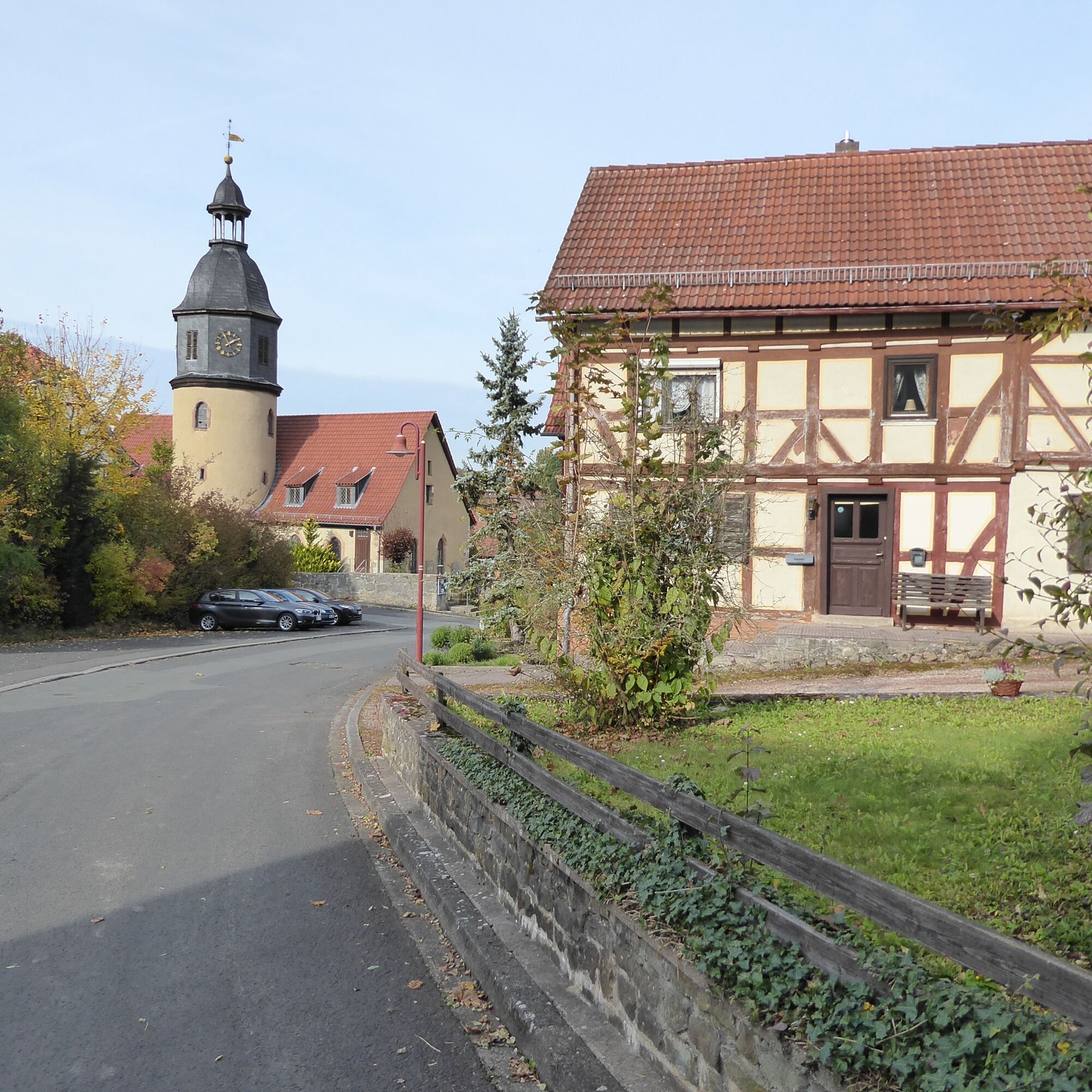
The Werra-Burgen-Steig Hessen turns left and then shortly right along a meadow path at the village edge. At the height of a single house, walk toward the country road, cross it and initially follow Wildecker Straße. As it bends right, turn left into Steingraben street, which becomes a field path at the village edge and leads to a rest area.
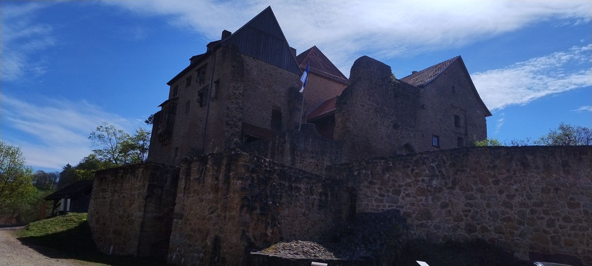
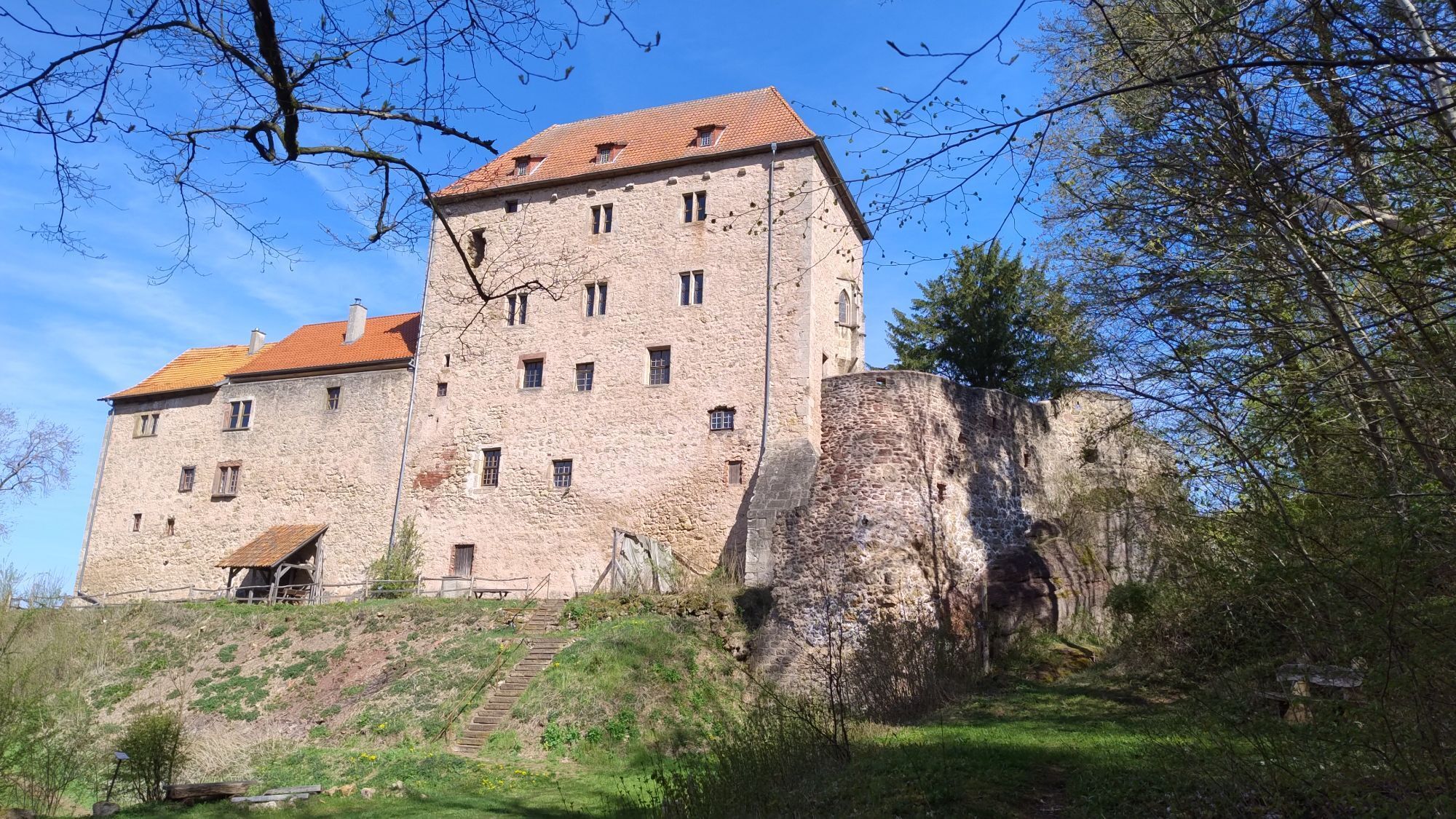
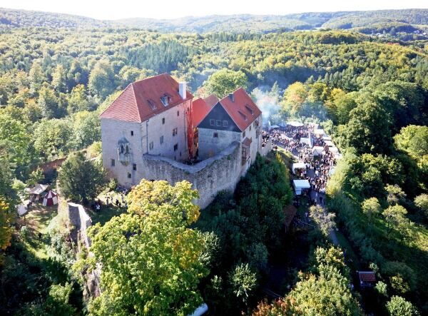
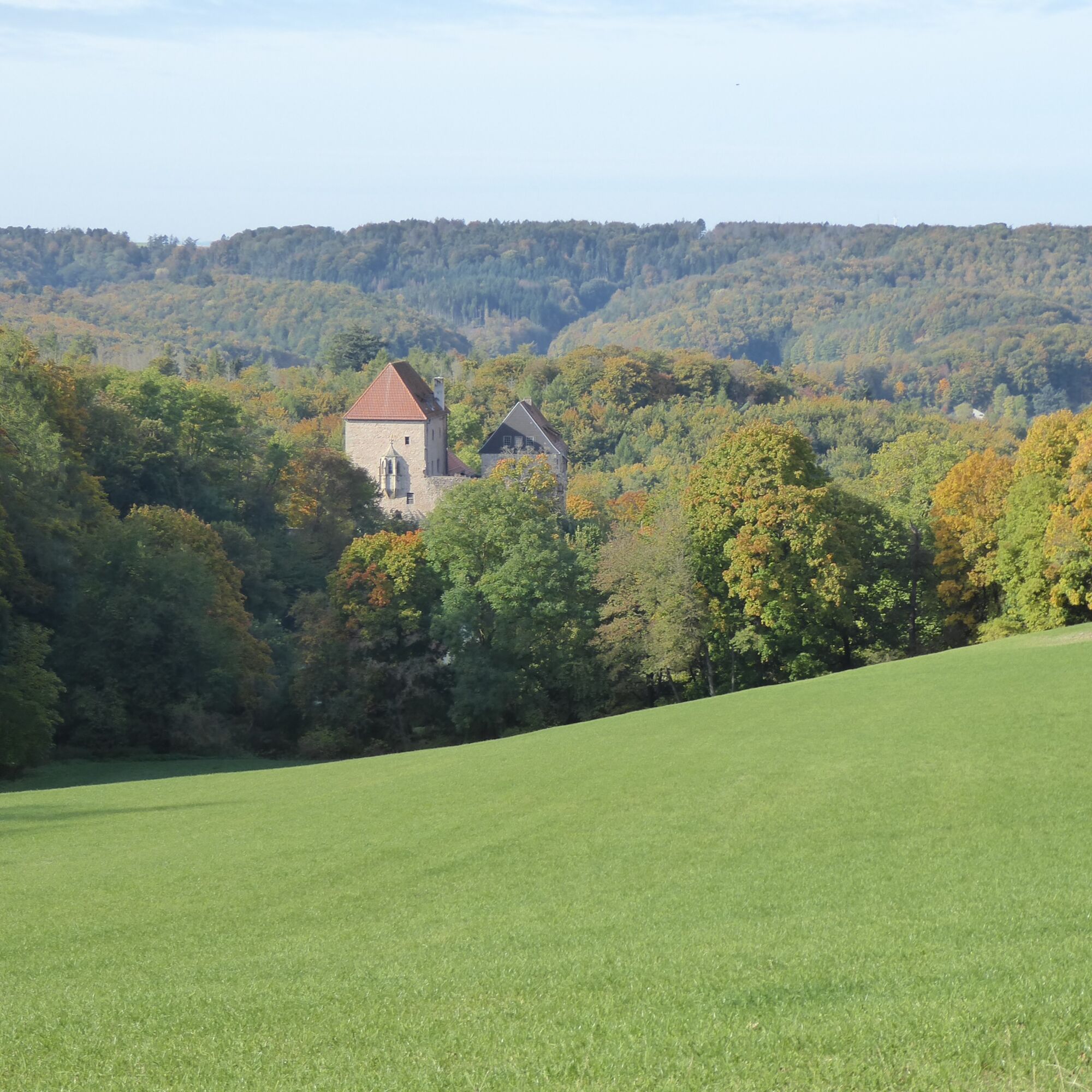
From the rest area, the hike goes straight uphill on a meadow path. Once the path meets the forest edge, walk left between fields and leave the wide path at the next curve. On the meadow path branching to the right here, pass the forest edge; after almost 250 m, walk left into the forest. At the shortly following (about 130 m) crossroad, the marking shows right. After the same distance, go down left again to a wide forestry road. Quickly, a large intersection is reached, over which the path leads straight ahead. You meet a forest path, follow it right to the hiking parking lot “Drei Kastanien.” From the parking lot, follow the gently downhill forest path for about 150 m, then take the half-right path down and follow the signposted Alpine path towards Tannenburg past a spring. Keep right and cross the next path to the left to then veer half-right after a few steps on a lovely path that takes you directly to the Tannenburg destination and thus to the end of the Werra-Burgen-Steig Hessen. It is about 1.3 km to the center of Nentershausen.
Da
For more information, visit https://www.werra-burgen-steig-hessen.de/.
Priljubljeni izleti v okolici
- 5.0
Premium route P21 Point India - Walkable Green Belt
srednjaPohodništvo 14.9 km Premium route P13 Boyneburg
srednjaPohodništvo 17.4 kmPremium route P15 Graburg - Walkable Green Belt
srednjaPohodništvo 13.8 kmPremium route P19 Datterode, Goose Lads' Route
srednjaPohodništvo 9.55 km- 4.0
Thuringian long-distance cycle routes - 02 - Werra Valley Cycle Path - Stage 4: Bad Salzungen → Eisenach
srednjaKolesarjenje na dolge razdalje 77.0 km Premium path P20 Ulfener Karst
srednjaPohodništvo 11.5 kmPremium route P18 Tannenburg
srednjaPohodništvo 8.34 kmHike - The freedom of the storks - Thuringia/Hesse
svetlobaPohodništvo 16.8 kmPremium route P26 Holstein
srednjaPohodništvo 8.25 km9th section Werra-Burgen-Steig Hessen
Pohodništvo 9.98 km
Pohodništvo in sledenje


Ne zamudite ponudb in navdiha za naslednje počitnice
Vaš e-poštni naslov je bil dodan na poštni seznam.