







Willingen (W4)
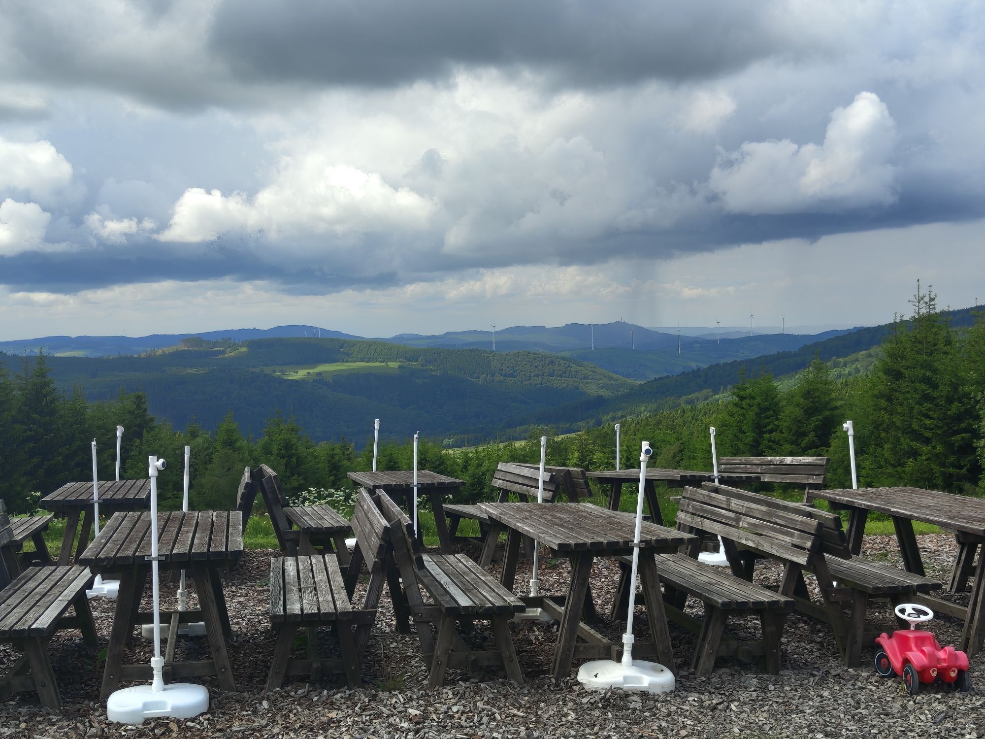
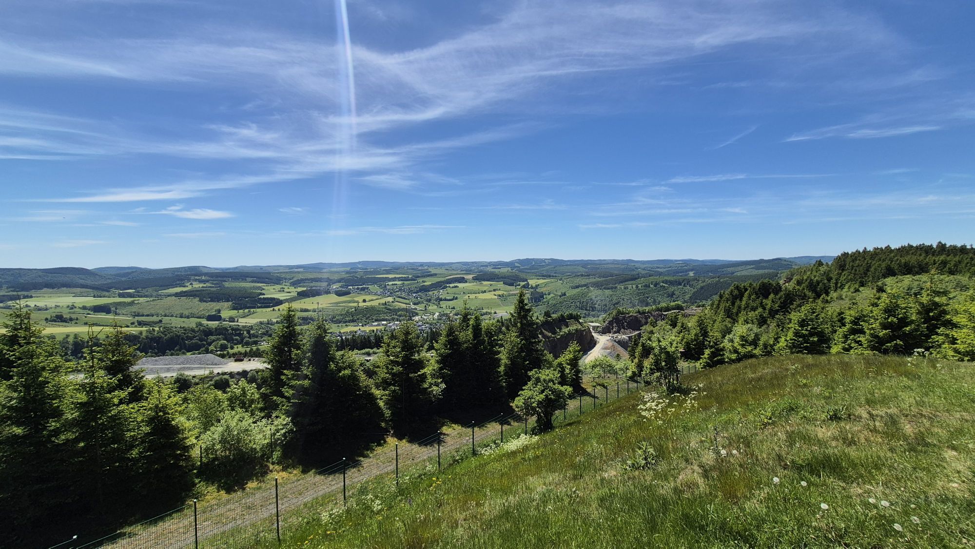
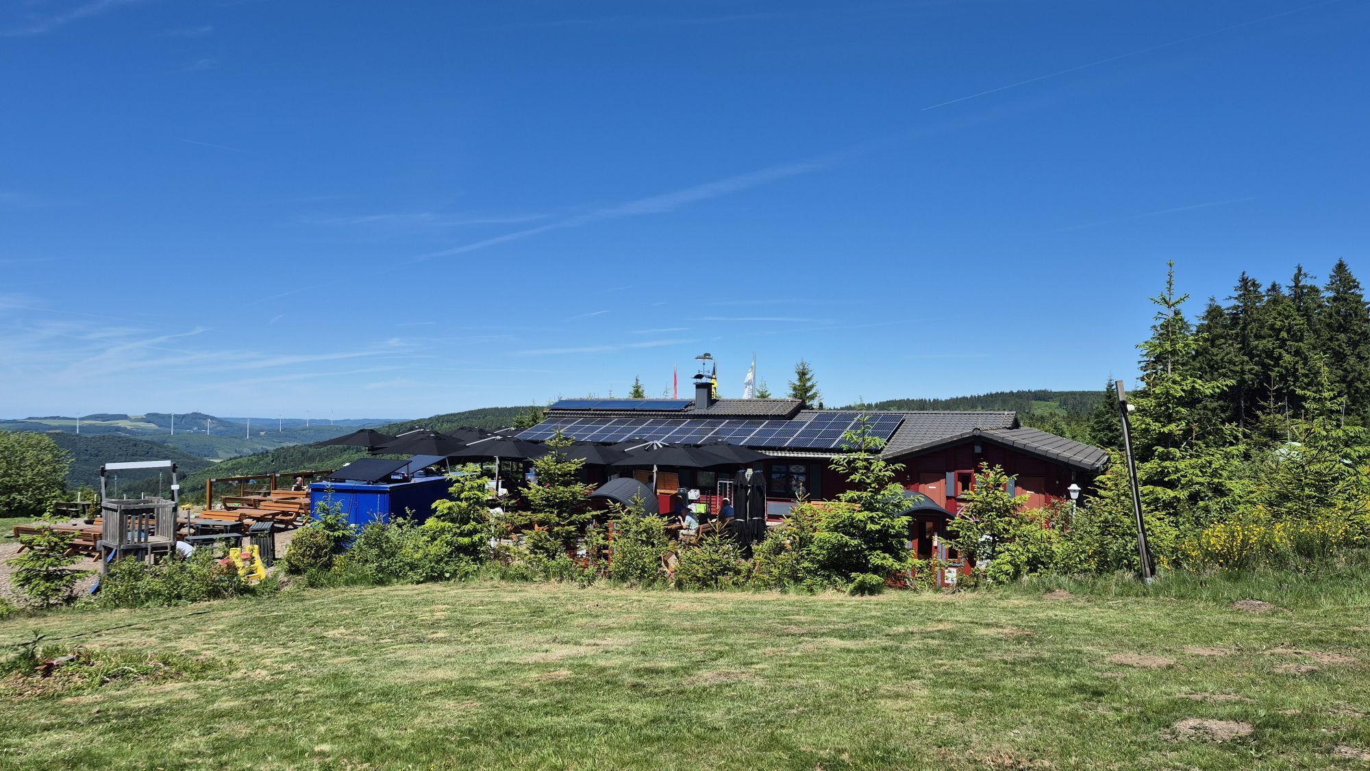
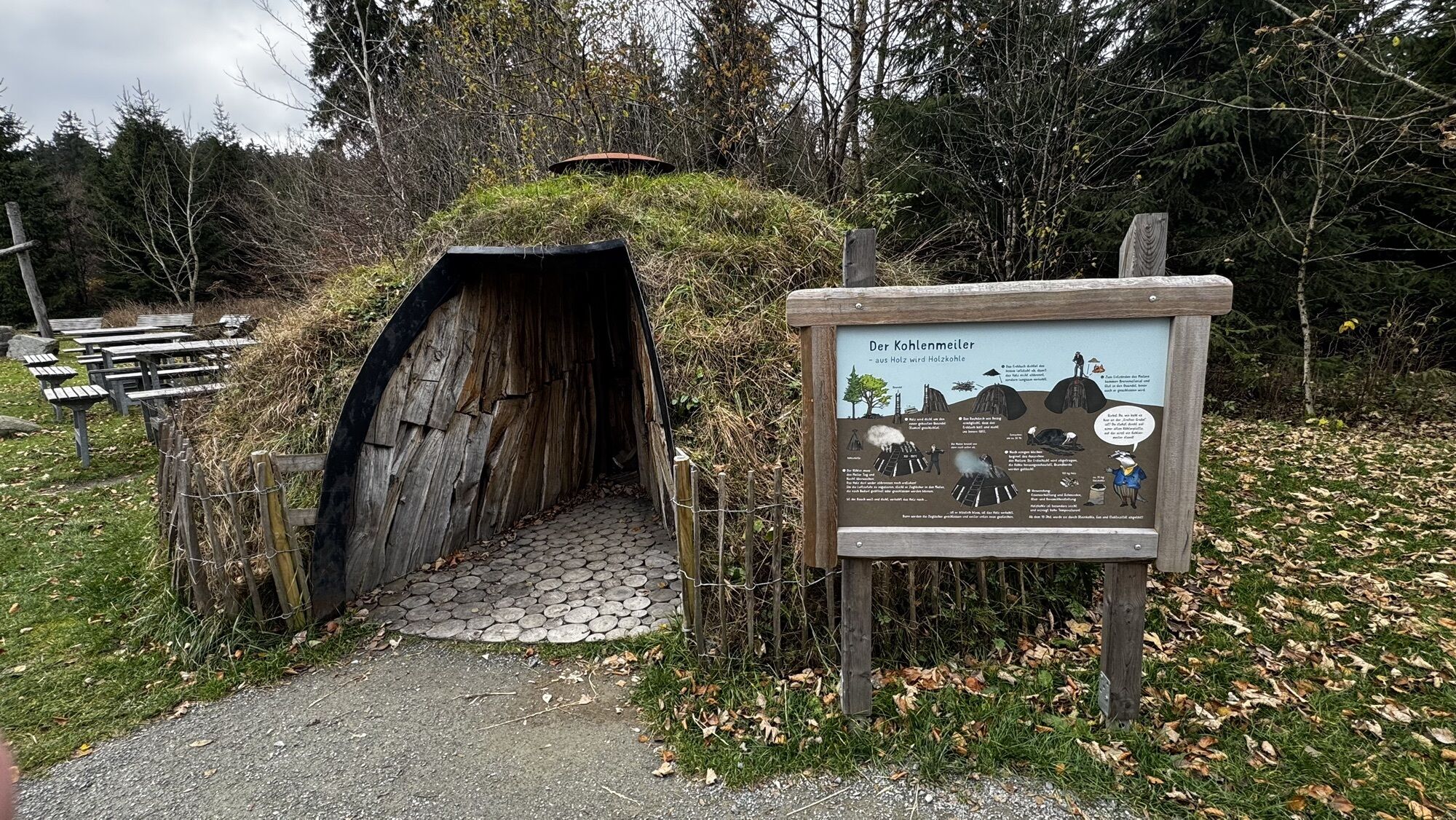
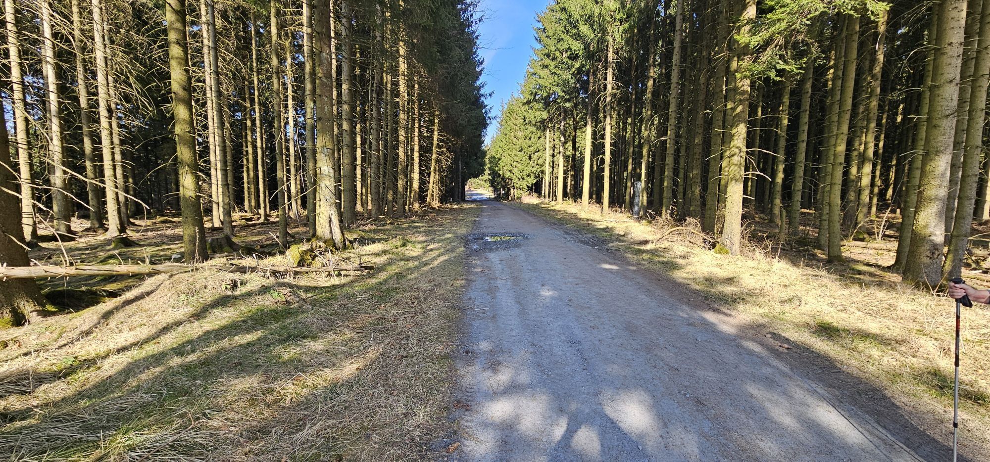

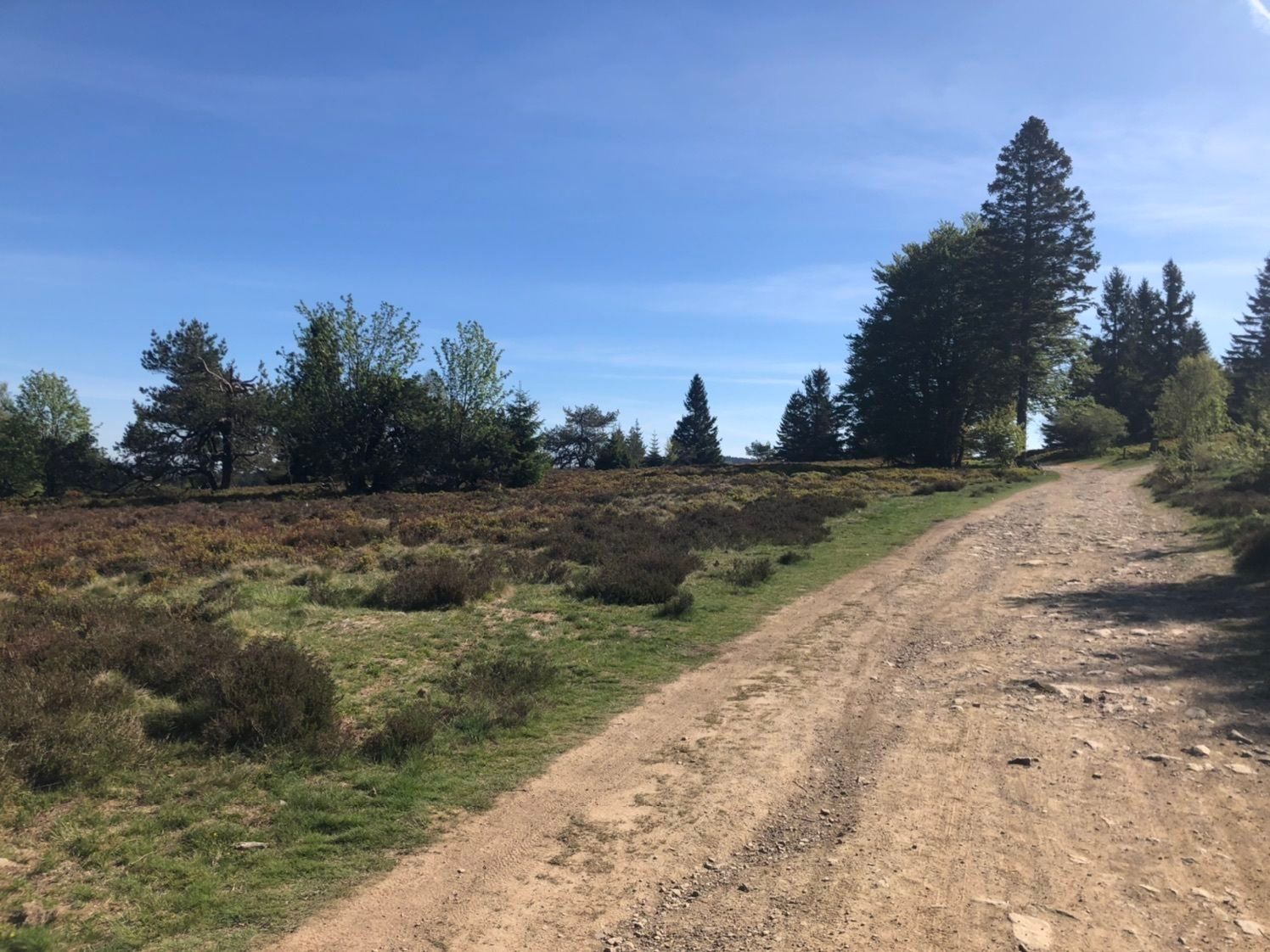
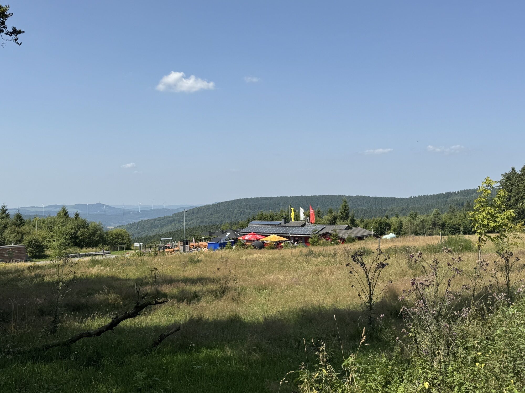
The hiking trail passes Ettelsberg to Große Grube, a junction of various hiking trails. The distinctive spot with seating groups and a shelter invites you to rest. It continues to Große Heide (upland heath),...
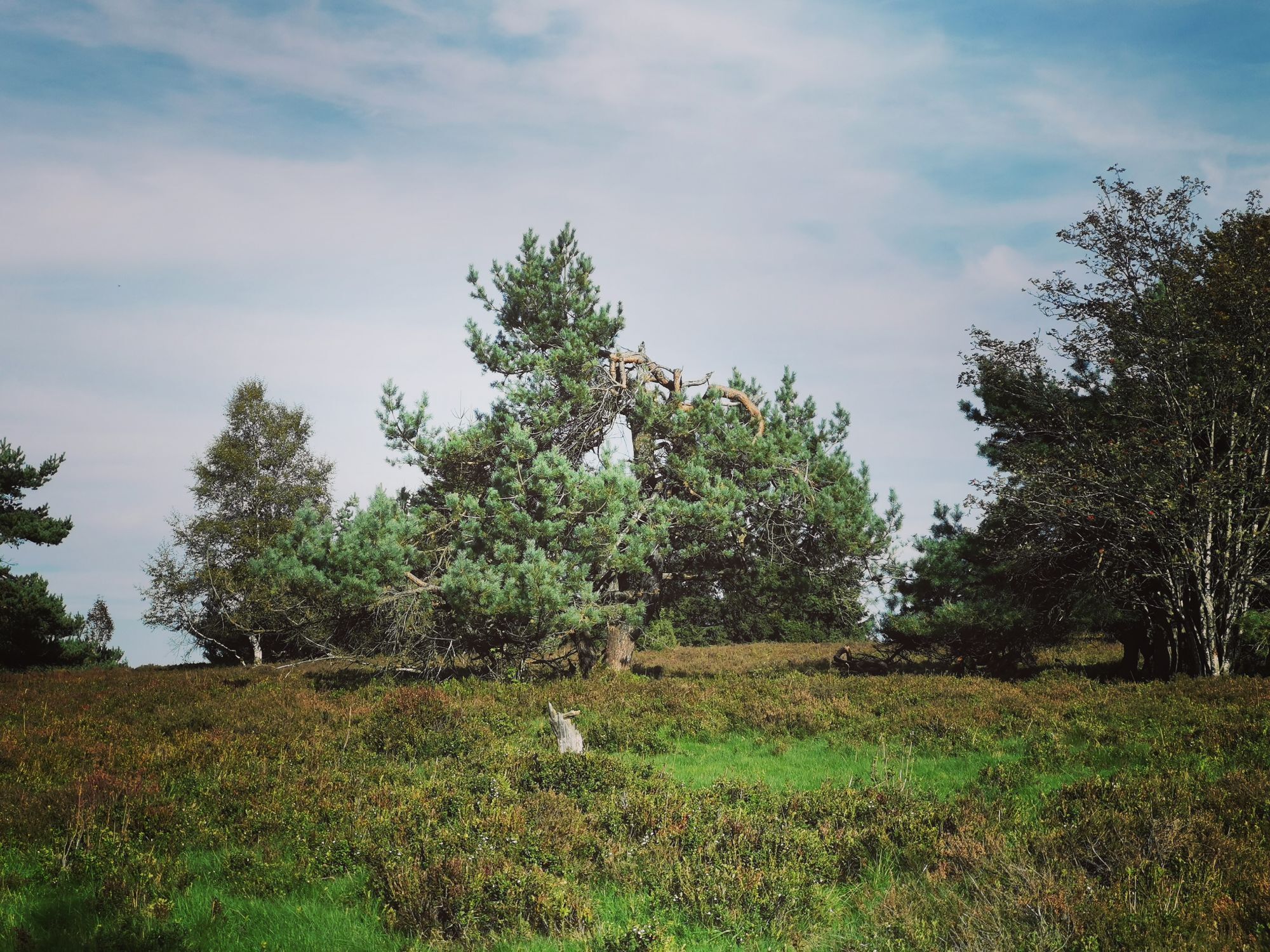
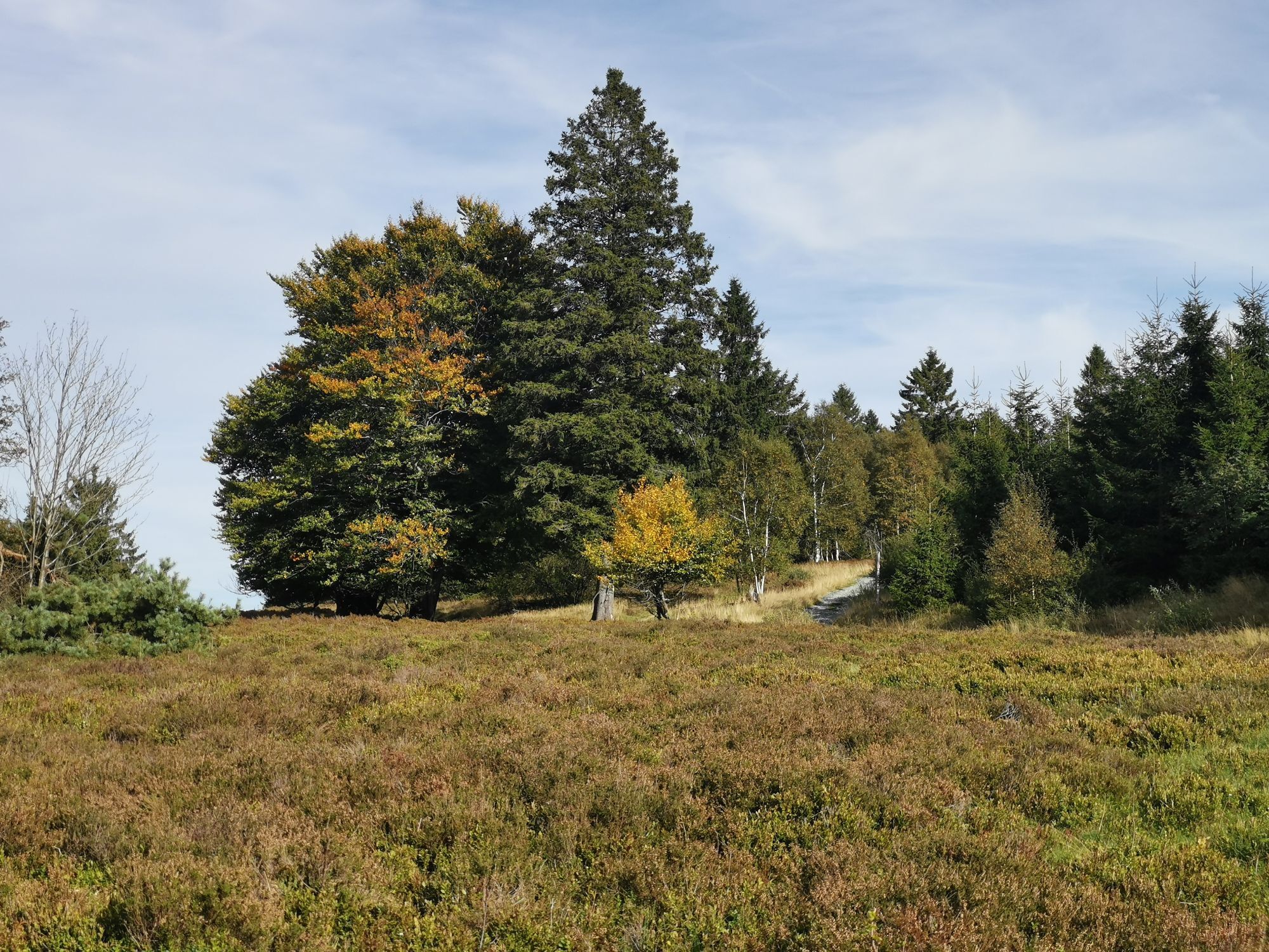
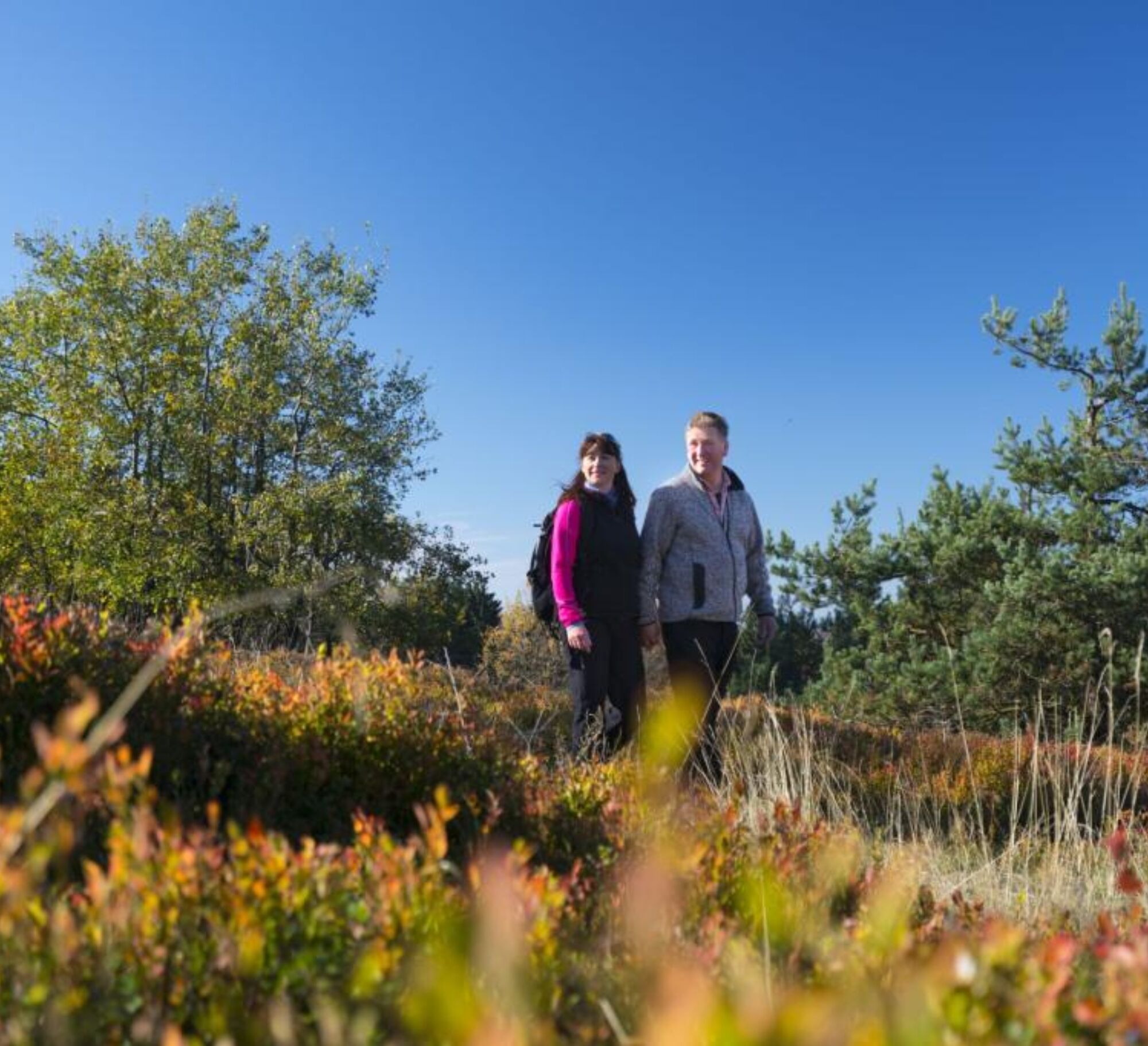
The hiking trail passes Ettelsberg to Große Grube, a junction of various hiking trails. The distinctive spot with seating groups and a shelter invites you to rest. It continues to Große Heide (upland heath), which glows like a splendid sea of purple flowers in late summer and can be traversed on cross-country skis in winter. There is a place to stop for a meal at the Hochheidehütte.
Through the Keller, a forest area with steep slopes beyond the trail, W4 leads past the K1 chairlift back to the village.

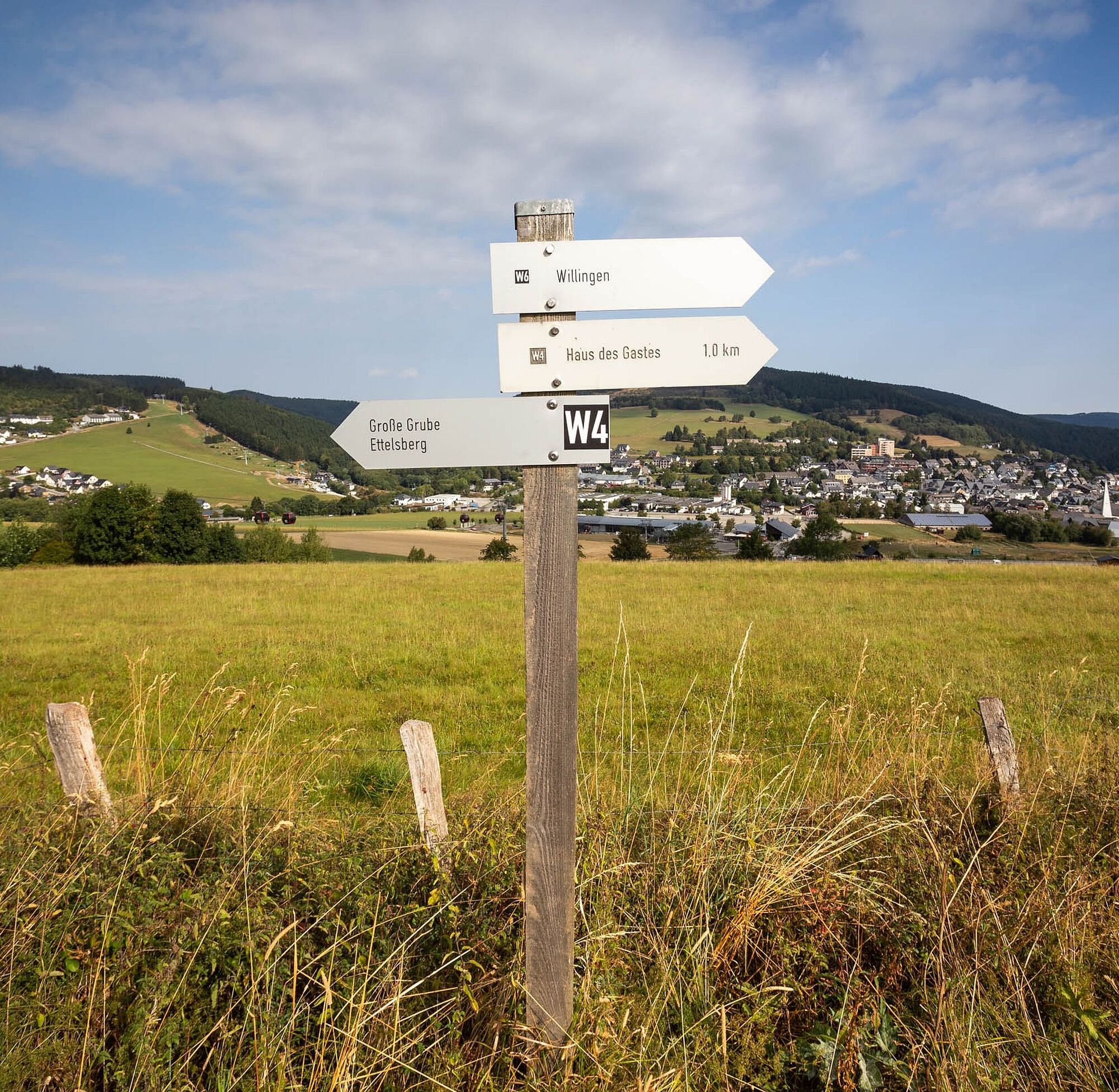
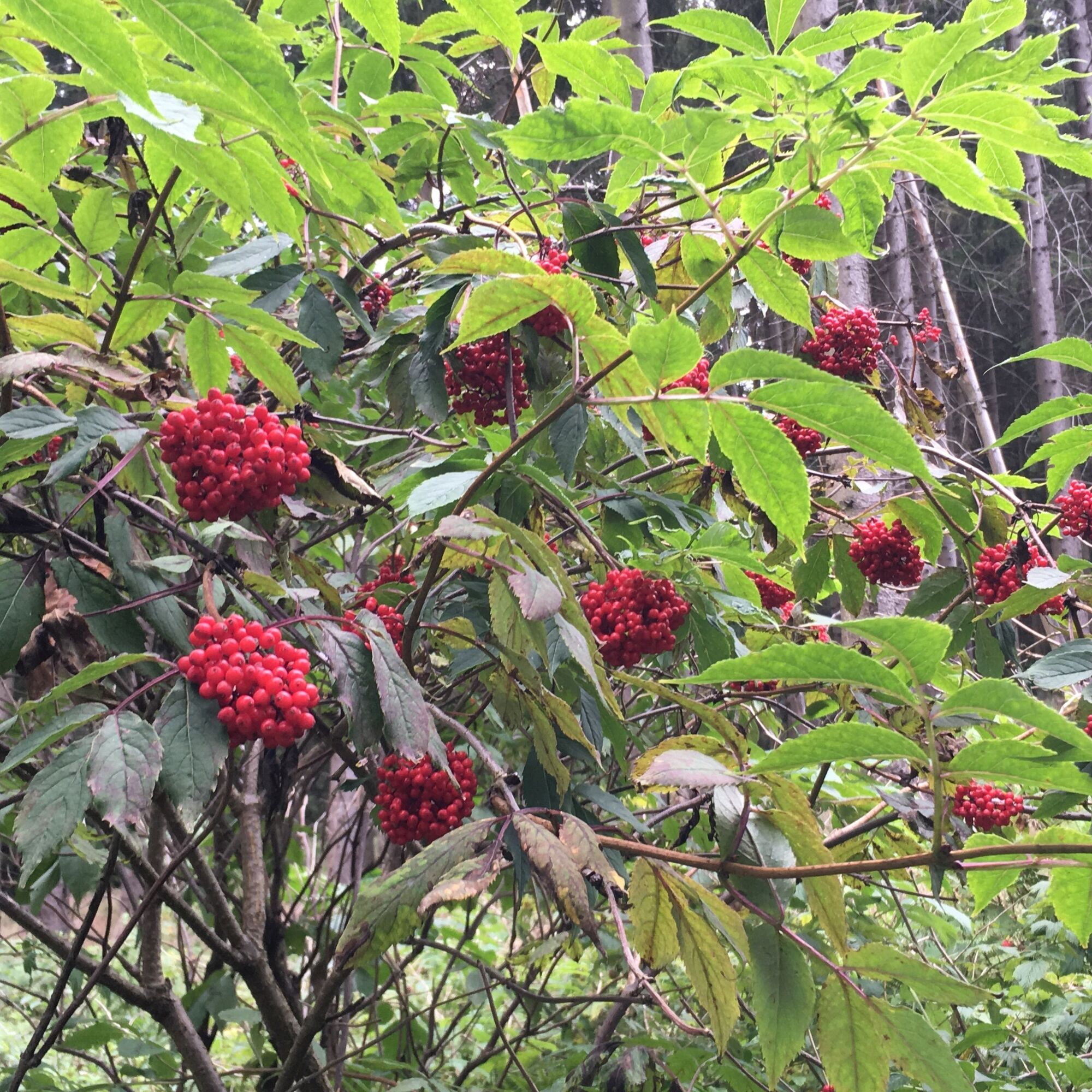
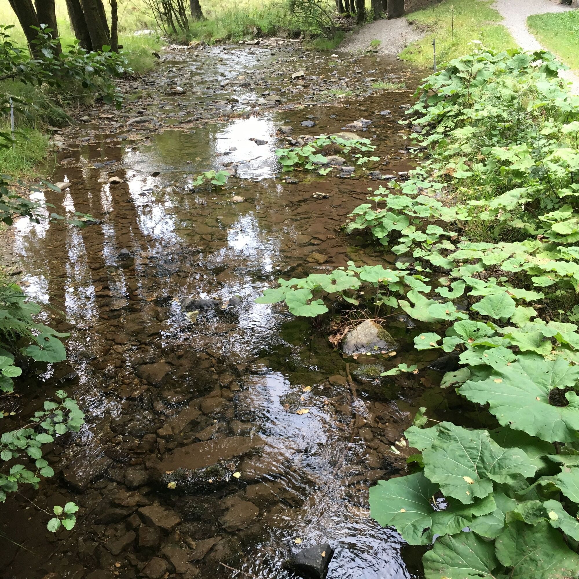

This hiking trail initially leads towards the Ettelsberg cable car. At the first path (Weidenhof) turn left, together with W6 until the zigzag path (parking lot). Here turn right. Past the so-called Schafstall/Heuweg and through a wooded area. Attention: three mountain bike routes cross here!
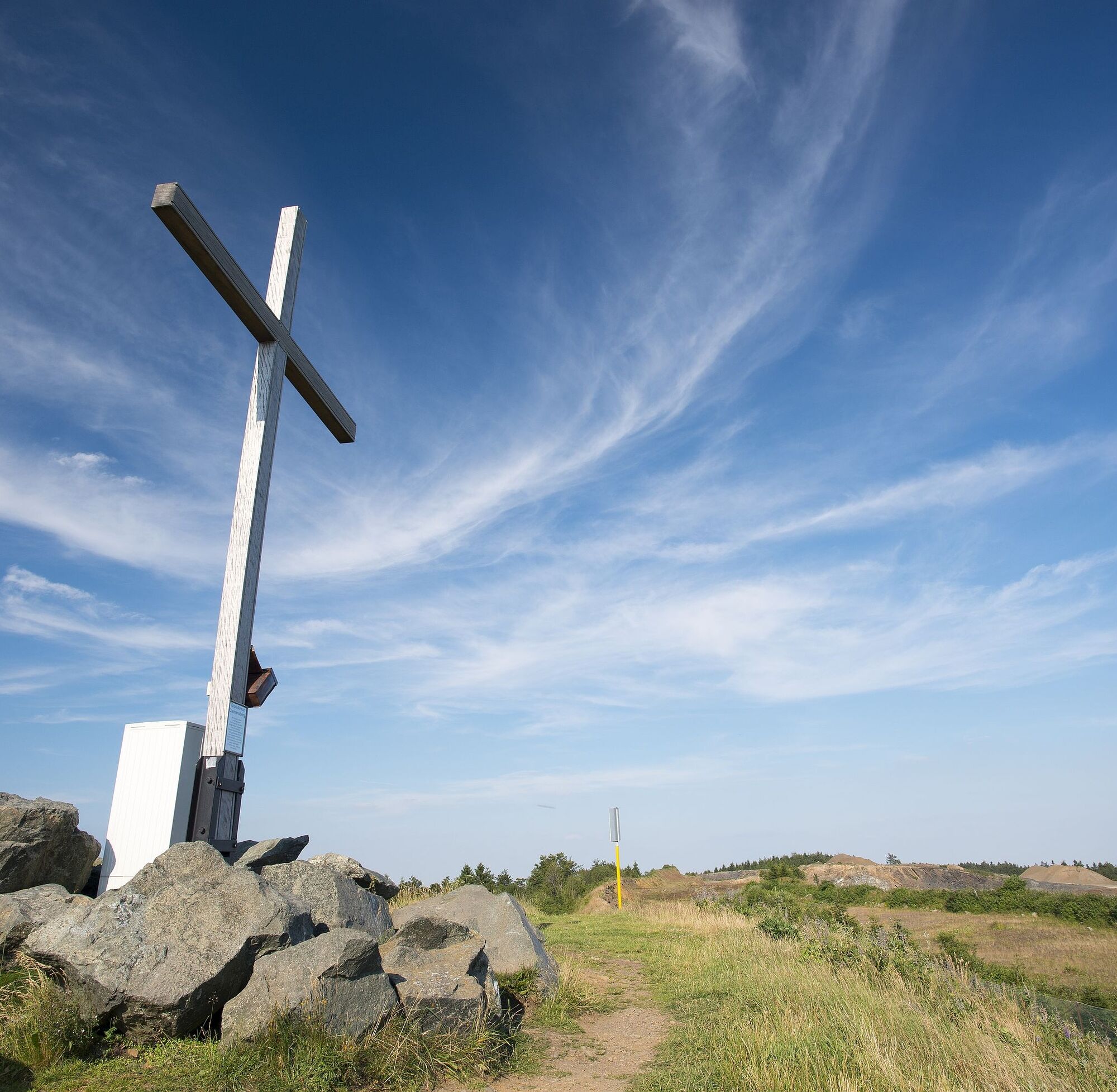
In the Ruthenaartal, a steep path uphill to Große Grube (798 m). Shelter and seating groups invite you to linger. Along an almost flat path at about 800 m to Scheid, also with a shelter and seating group. Then immediately turn right to the Hoppecke spring. We are now in the NRW area.
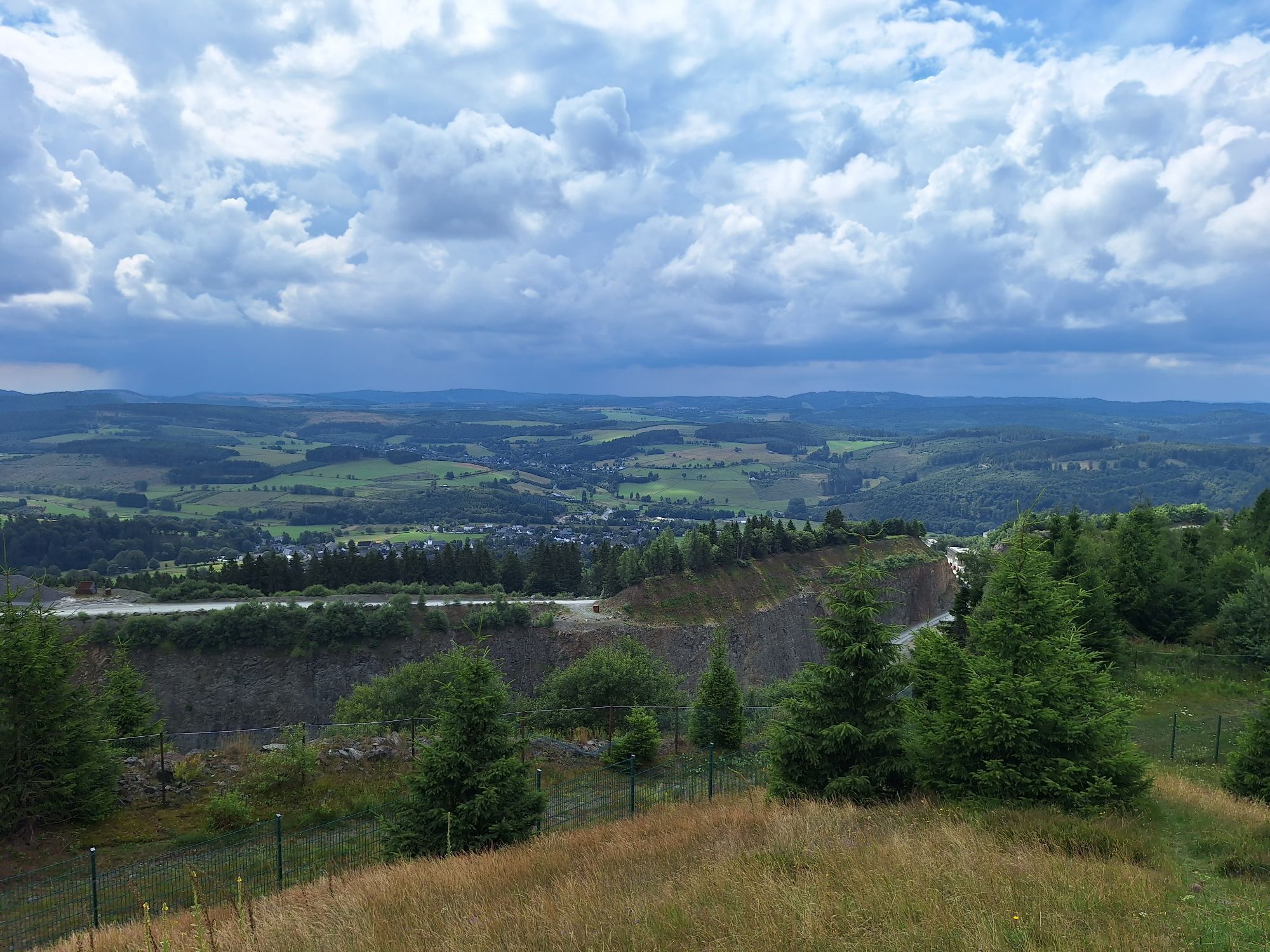
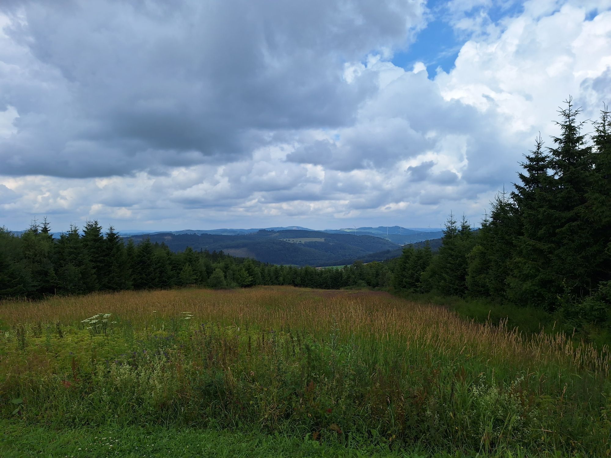
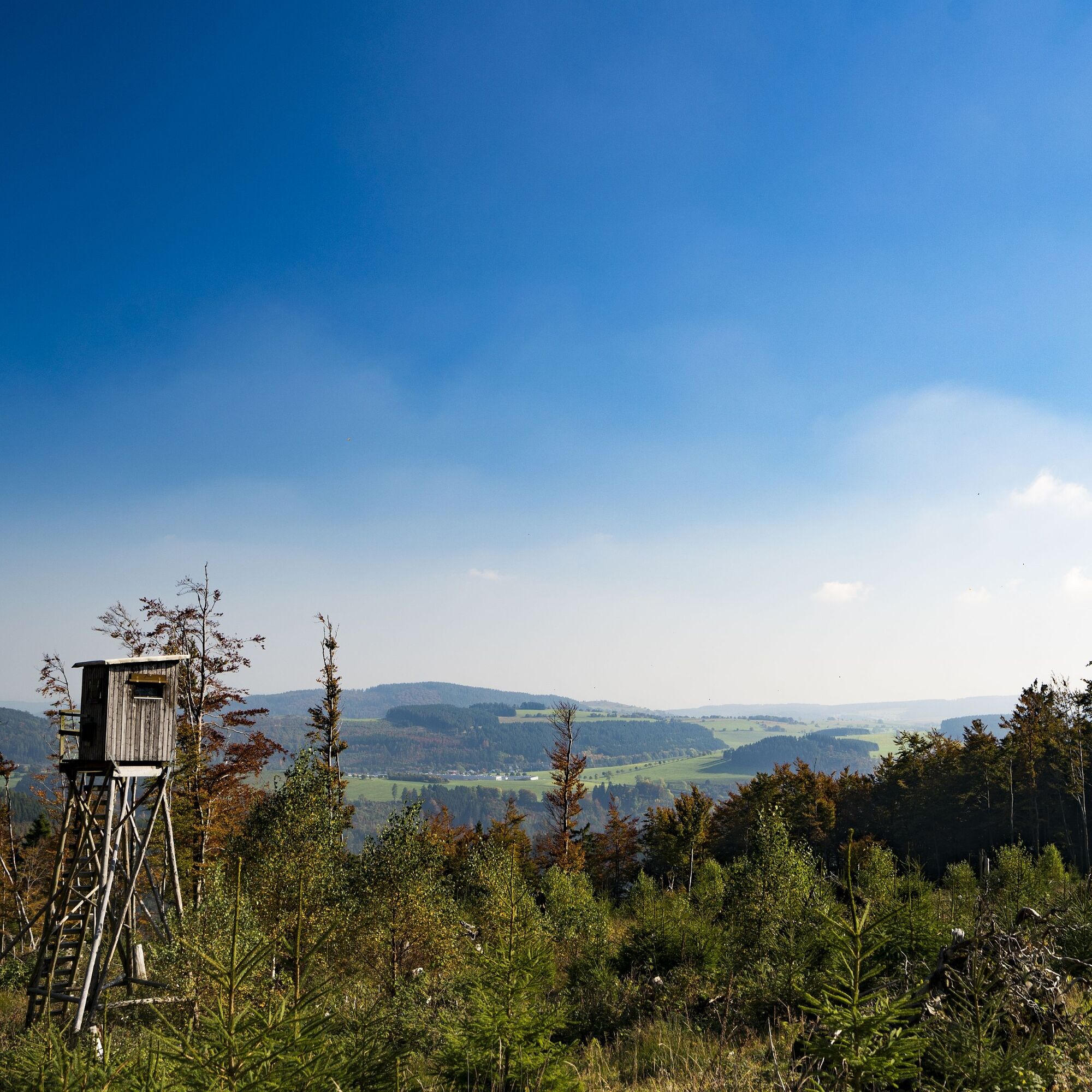
Große Heide (a preferred cross-country ski area in winter) can be enjoyed on the W4 trail (same as Upland and Rothaar Steig) or side paths on foot. Clemensberg (838 m) offers beautiful views. Shortly after, the Hochheidehütte invites you to a cozy stop. Continue on award-winning hiking trails until W4 turns right and moderately descends into the Keller (698 m), back to Hesse. Further through the beautiful Hoppecke valley and past K1 chairlift in Köhlerhagen (for bikers and for skiers in winter), the path leads us back to the village and the starting point.
Sturdy footwear, weather-appropriate clothing, packed food, and sufficient fluids (water, tea) are recommended.
Mountain bikers cross the hiking trails. Please be considerate of each other, especially in the Ettelsberg area. In the area of Große Heide/Clemensberg/Uplandsteig km 53.0: when hearing three signal tones, seek the "Iron Shelter" due to blasting in the neighboring quarry!
Bus/train to Willingen station, 10 minutes walk to the starting point at the visitor centre
Bus/train to Willingen station, then continue by bus or call-collect taxi (various stops in all districts)
www.willingen.de/anreise
Free parking at the visitor centre/Lagunenbad
Spletne kamere s turneje
-
Talstation Ettelsberg-Seilbahn
-
Kurhotel Hochsauerland 2010
-
Kurhotel Hochsauerland 2010
-
Kurhotel Hochsauerland 2010
-
Sternrodt Skilift
-
Hochheideturm - Ettelsberg
-
Schlossberg Alm
-
Skywalk
-
Skywalk
-
Skywalk
-
Skywalk
-
Skywalk
-
Stern Hotel Sauerland
-
Schwalefeld - Cafe Fernblick
-
Ettelsberg
-
Hochheide
-
Hochheide
-
Hochheide
-
Hochheide
-
Sonnenhang
-
Talstation Ettelsberg Seilbahn
-
Ettelsberg Seilbahn Bergstation/ Hochheideturm
-
Sesselbahn Ritzhagen Berg
-
Piste Ritzhagen
-
Mountainbike-Strecke K1
-
K1 Gipfelkreuz
-
Bikepark (Sommer) / Skipiste an K1-Hütte (Winter)
-
Spielplatz, Bergsee, K1-Gipfel
-
Spielplatz am Hochheideturm
-
Ettelsbergplateau
-
Ettelsberghütte
-
Bergstation Ritzhagen
-
Skipiste Ritzhagen
Pridobite vpogled
Vedno v živo na mestu z več kot 9.500 spletnimi kamerami. bergfex Kot uporabnik Pro si lahko zdaj ogledate ustrezne spletne kamere za številne izlete v aplikaciji izleti iz. Tako si lahko neposredno ogledate trenutne razmere.

Priljubljeni izleti v okolici
-
4.7
Bruchhauser Steine B1
srednjaPohodništvo 11.8 km -
5.0
Circular route Skywalk/Hill - Ettelsberg
svetlobaPohodništvo 4.10 km -
4.5
Bruchhausener Steine
težkoPohodništvo 5.15 km -
5.0
Der "Fabelhafte Elfensteig" in Winterberg-Züschen
Pohodništvo 4.45 km -
5.0
Winterberg - rund um den Kreuzberg
svetlobaPohodništvo 10.9 km -
5.0
Rundwanderung Ruhrquelle Winterberg
svetlobaPohodništvo 3.74 km -
5.0
Golddorf Route Westfeld / Rothaarsteig-Spur "Kahler Asten-Steig"
težkoPohodništvo 16.0 km -
4.3
Willingen (W8)
srednjaPohodništvo 12.9 km -
5.0
Rothaarsteig-Spur - Grönebacher Dorfpfad
srednjaPohodništvo 10.6 km -
5.0
Willingen (W6)
srednjaPohodništvo 12.9 km

Pohodništvo in sledenje


Ne zamudite ponudb in navdiha za naslednje počitnice
Vaš e-poštni naslov je bil dodan na poštni seznam.





