


Red Cattle Circular Route in the Gleiberger Land
The circular route is about 1.3 km long and ends slightly above the parking lot at the Gleiberg community center.
Depending on the grazing season, red highland cattle can also be seen in some pastures along...
The circular route is about 1.3 km long and ends slightly above the parking lot at the Gleiberg community center.
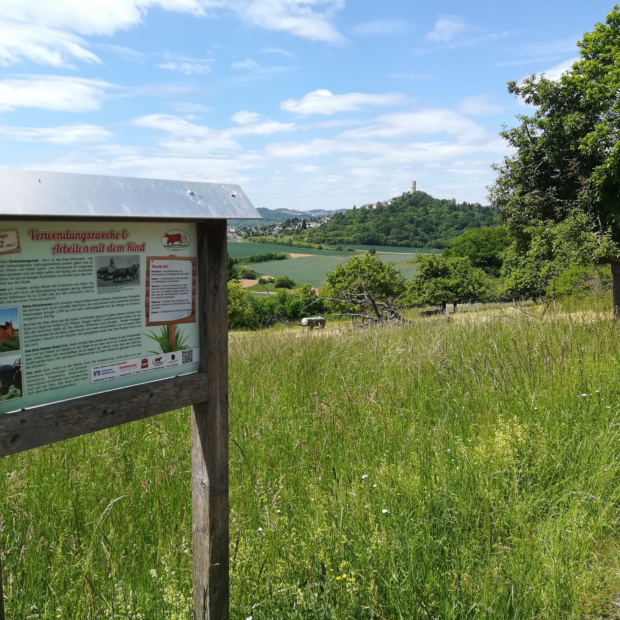
Depending on the grazing season, red highland cattle can also be seen in some pastures along the way. There are 7 panels with information about the red highland cattle along the route. The last panel features a quiz that playfully tests your knowledge.
En route, there is a wonderful view of the Gleiberger Land with the castles Vetzberg, Dünsberg, and Gleiberg Castle. There are also benches at regular intervals inviting you to rest.

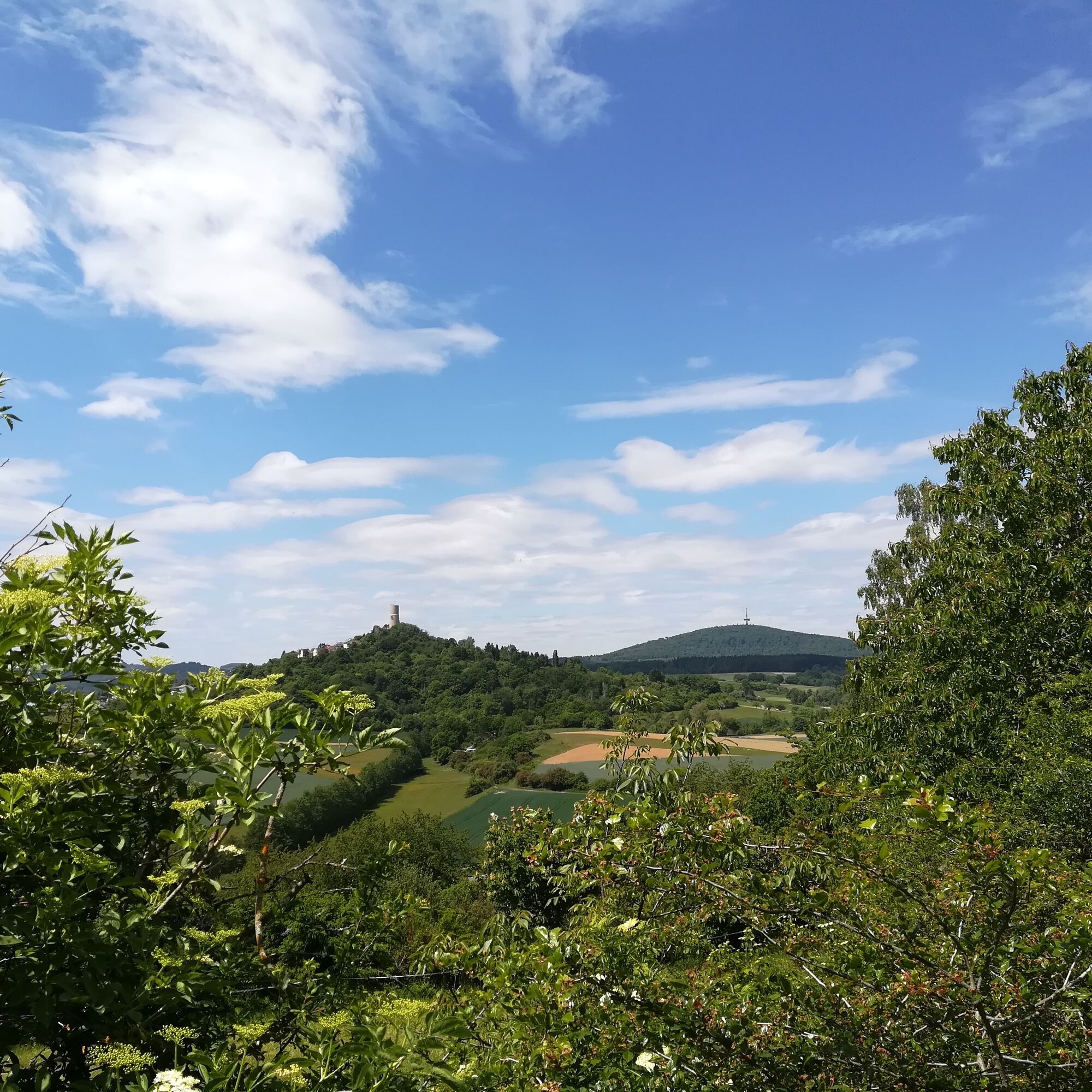
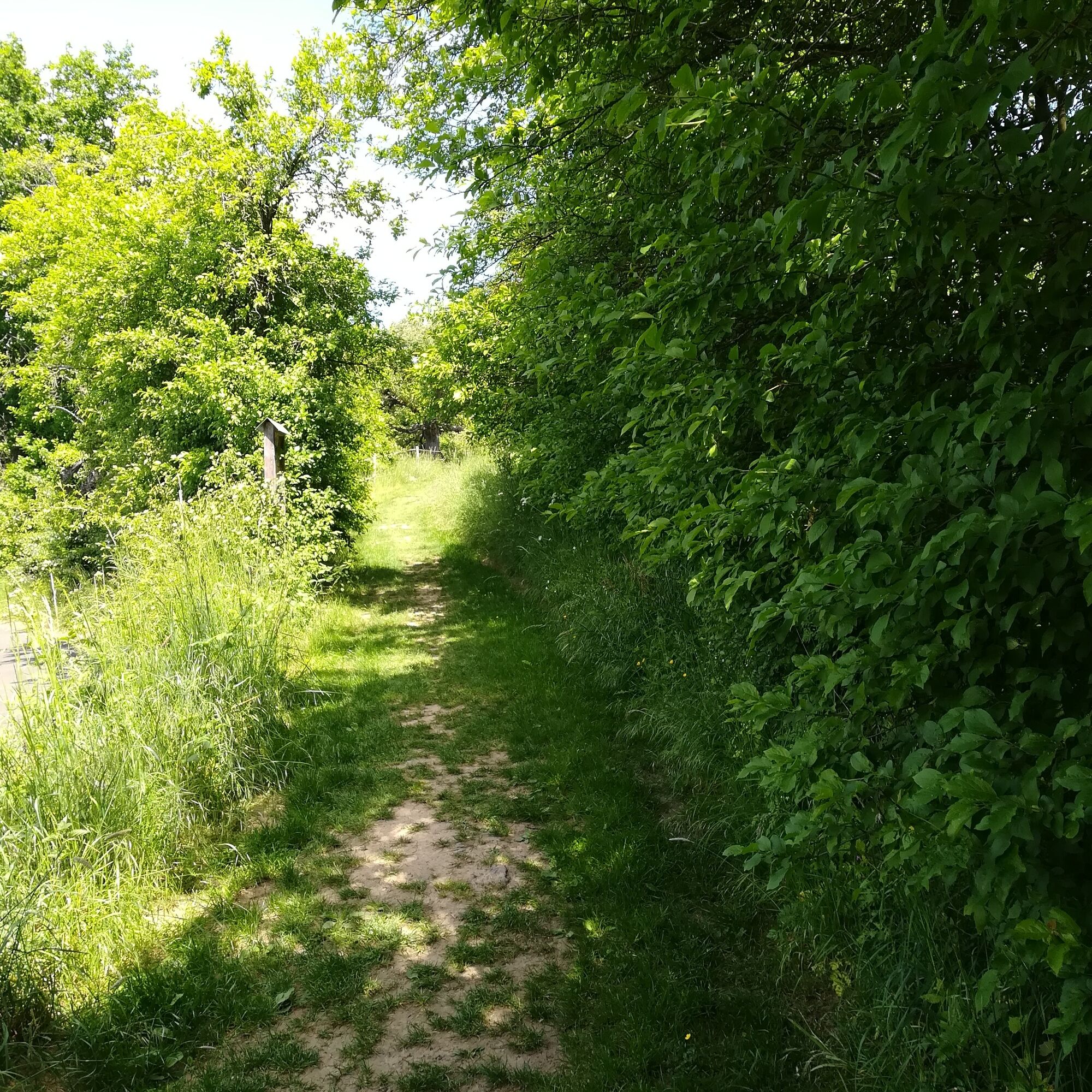
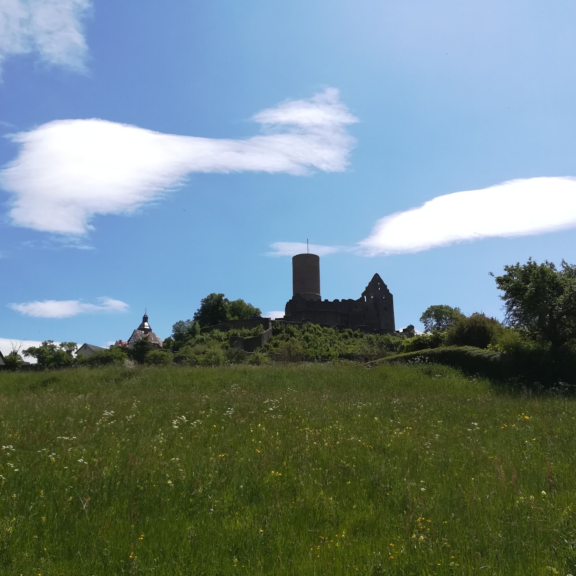
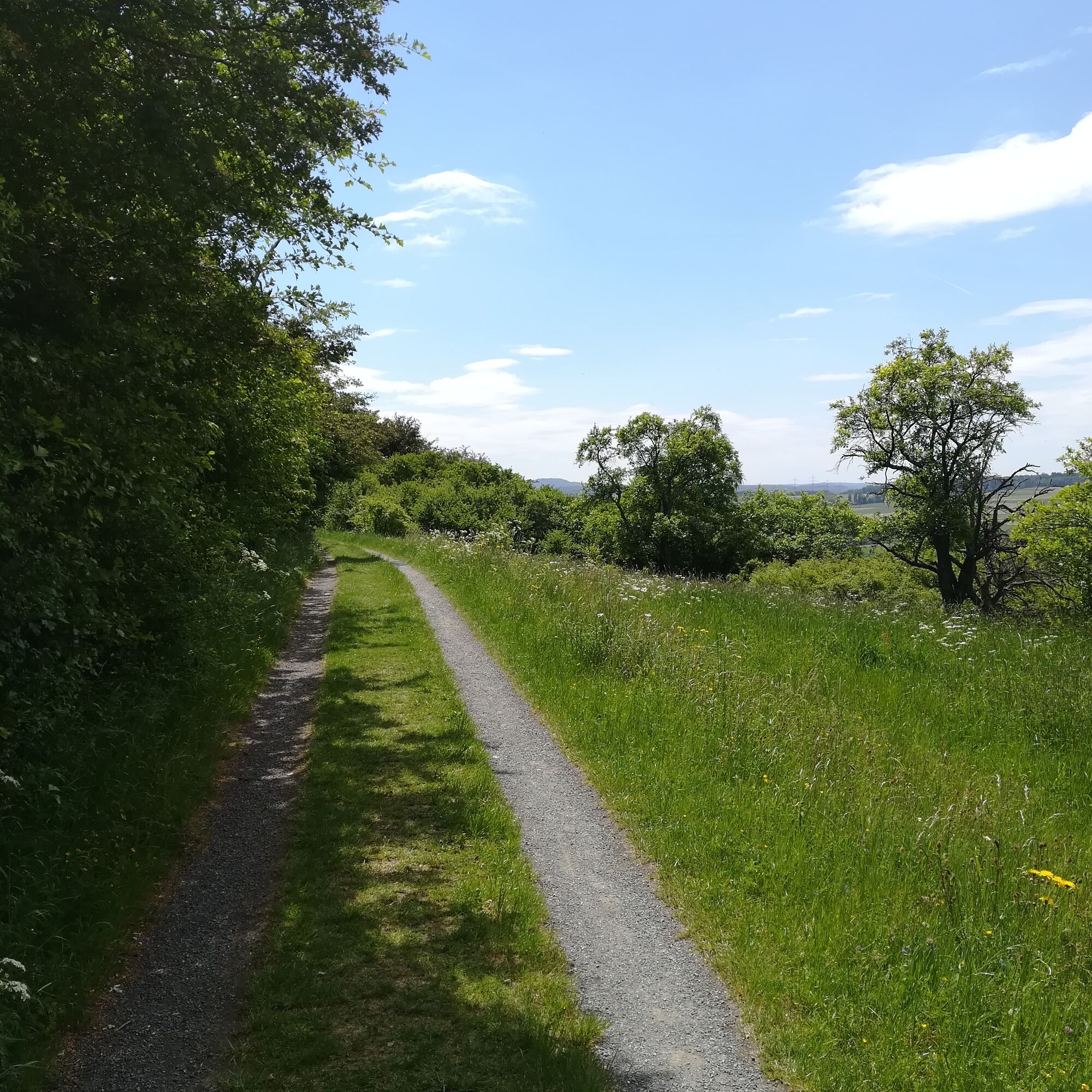
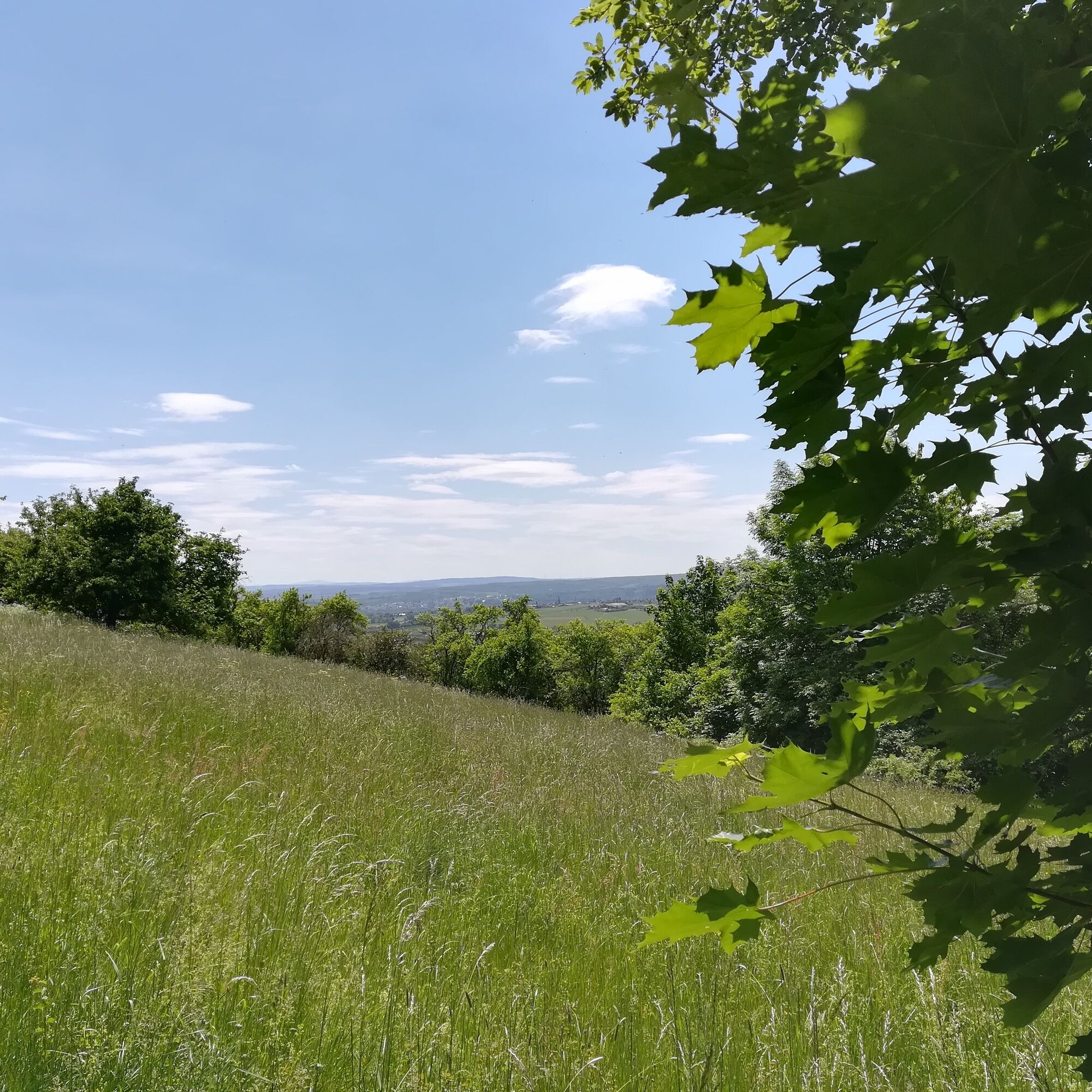
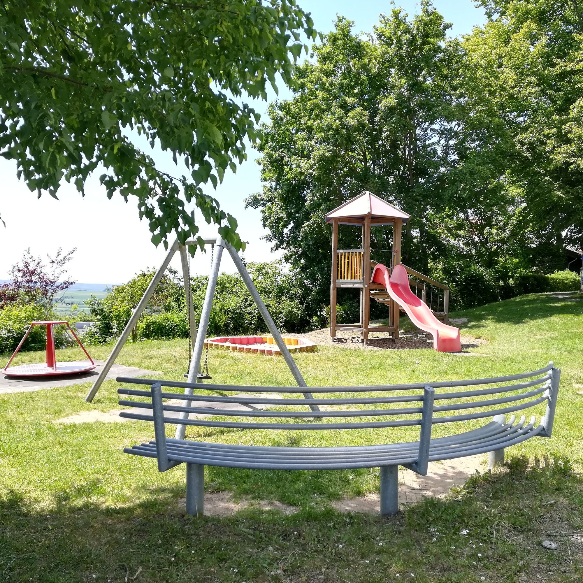
You can find the educational trail on the southwest slope of the Gleiberg below the castle. The best way to reach it is via the small parking lot opposite the playground on Burgstraße. From here, walk a bit downhill along Burgstraße and then turn right onto Pfortgärten street. Follow this street to the end, and then you will stand on Hainweg in front of the first information panel. From there, continue to the right until you can turn from the small street onto a path. After the path, bordered by trees and shrubs, the landscape opens up. To the right on the hill, you can see Gleiberg Castle, and the path splits a few meters further. It goes steeply uphill along a fenced property towards the castle until you find the next information panel further up. From there, turn right to the endpoint of the short route at the parking lot.
The path was marked with a cow head symbol. However, these markings are missing.
Da
Sturdy footwear is recommended depending on the weather conditions.
Using a stroller is not recommended at all times of the year and under all weather conditions. Since some sections are steep uphill and downhill, parents with strollers need to be prepared physically.
Address for navigation systems: 35435 Wettenberg, Burgstraße, corner of Torstraße
From Gießen main train station, take the regional train (R-Bahn) towards Stadtallendorf to Gießen Oswaldsgarten (every 30 minutes).
There, transfer to bus line 802 in the direction of Wettenberg Krofdorf-Gleiberg "Am Wingert".
Get off at Krofdorf-Gleiberg at "Hardtweg." From there, it is about 400 meters to the parking lot below the castle.
Parking lot below Gleiberg Castle
After the walk, be sure to visit Gleiberg Castle. The steakhouse at the castle is also very close to the starting point...
Priljubljeni izleti v okolici
-
4.5
Wetzlar 3-Towers-Route
srednjaPohodništvo 20.4 km -
5.0
Wetzlar 3-Towers-Route North
srednjaPohodništvo 11.2 km -
4.5
Lahn Cycle Route 3rd stage upstream Gießen - Marburg
srednjaKolesarjenje 37.2 km -
Lahnwanderweg 09. stage Lollar – Rodheim-Bieber
srednjaPohodništvo 21.4 km -
Wetzlar Komfortweg Kirschenwäldchen
svetlobaPohodništvo 2.93 km -
4.0
Die Raute - von Dutenhofen nach Wetzlar
srednjaPohodništvo 10.1 km -
Biebertal Deceleration Path
svetlobaTematska pot 2.81 km -
Wieseck bike path: Grünberg - Gießen
svetlobaKolesarjenje 24.9 km -
DVV 8/10 km- Permanent Wetzlarer hiking trail Goetheweg with Grüngürtelweg
srednjaPohodništvo 10.2 km -
Lahnwanderweg 10th stage upstream Wetzlar - Rodheim-Bieber
srednjaPohodništvo 16.4 km
Pohodništvo in sledenje


Ne zamudite ponudb in navdiha za naslednje počitnice
Vaš e-poštni naslov je bil dodan na poštni seznam.