







MTB - Diemelsee route no. 30
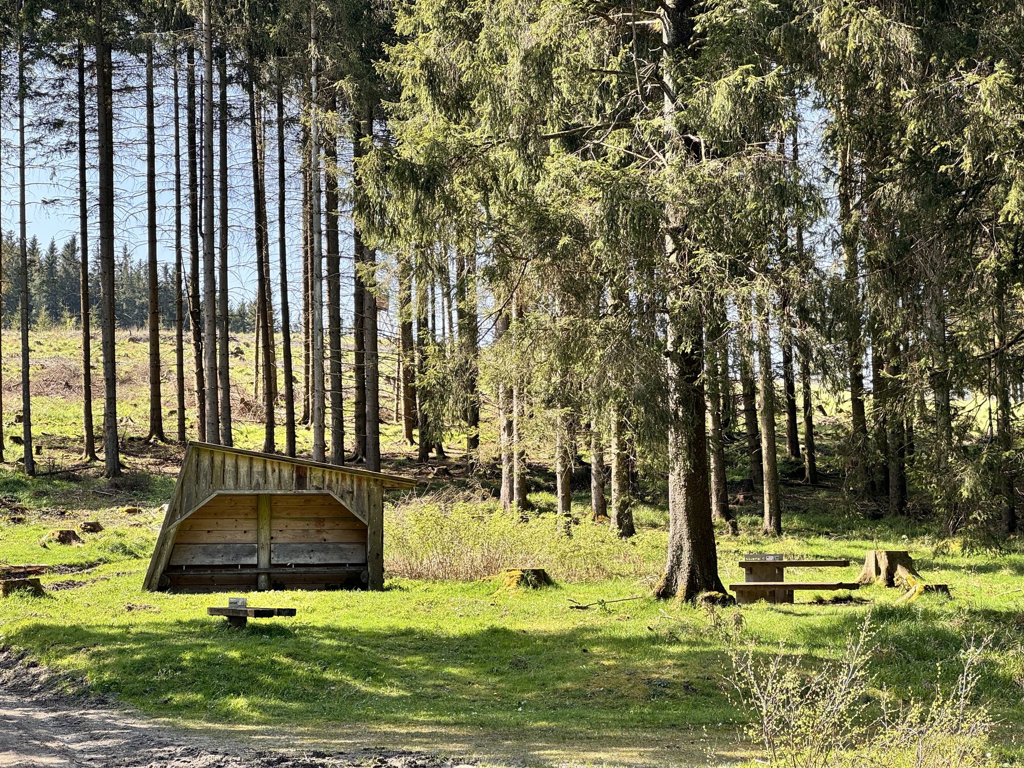
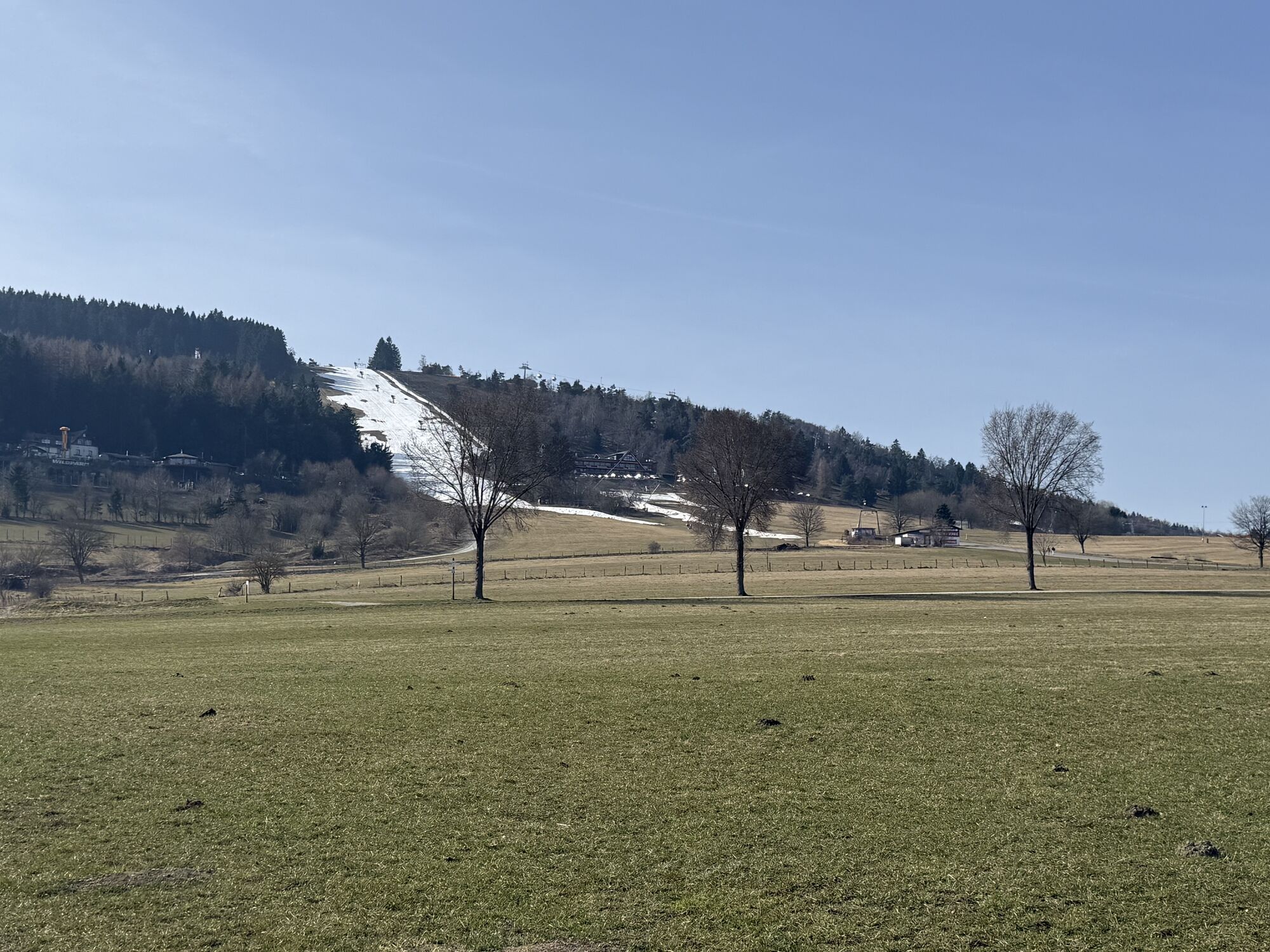
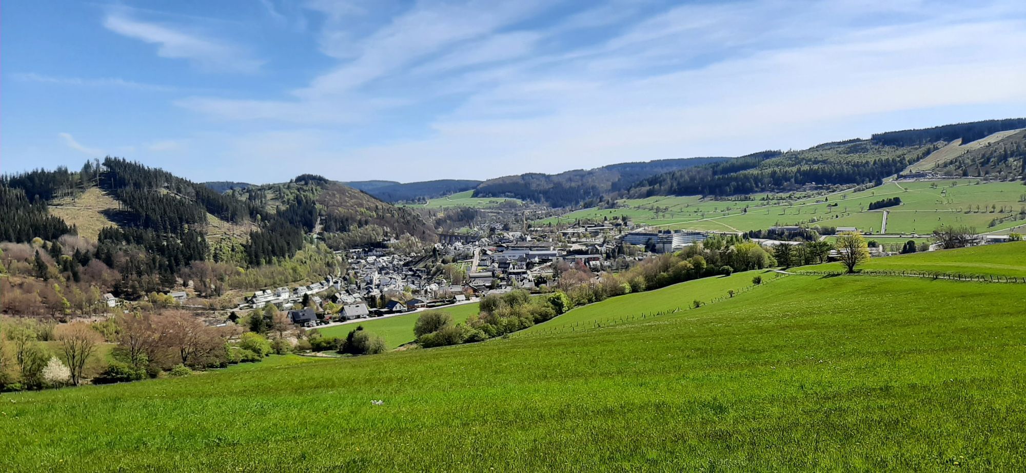
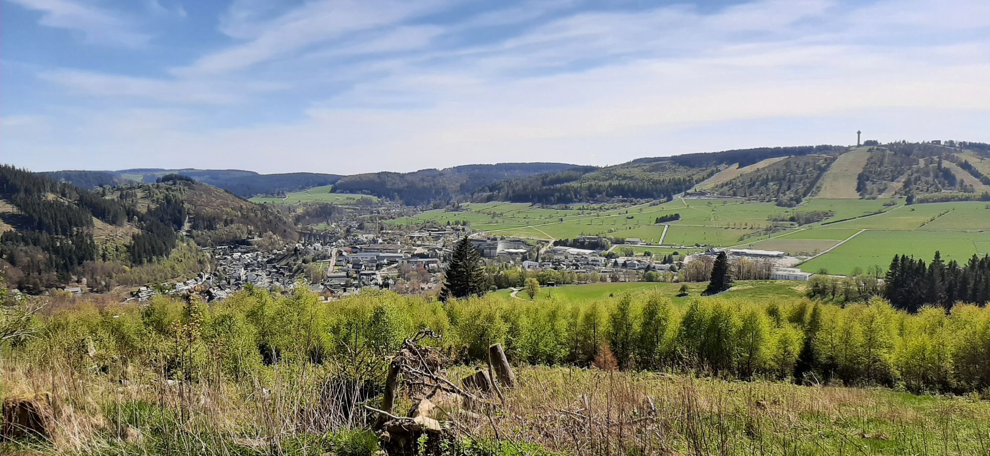

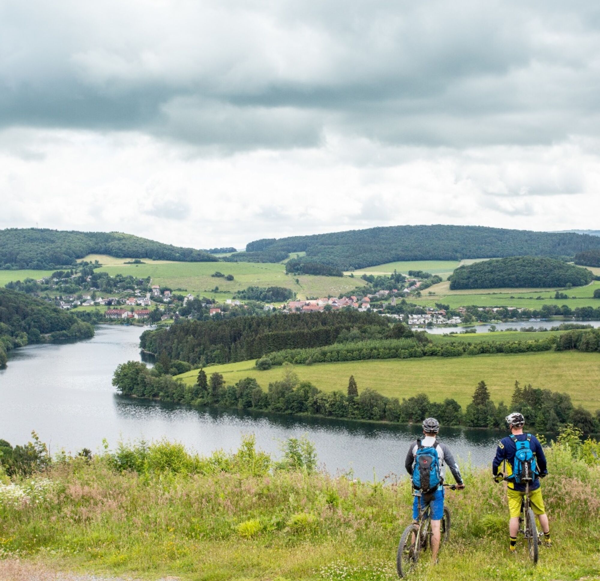
Two absolute highlights attract on this moderate round: the trail-rich descent over the Eimberg border ridge and the deep blue Diemelsee. After a break at the lake, the route leads rolling through fields...
Two absolute highlights attract on this moderate round: the trail-rich descent over the Eimberg border ridge and the deep blue Diemelsee. After a break at the lake, the route leads rolling through fields and forest areas back to Willingen.


Willingen - Hoher Eimberg - Huckeshohl - Diemelsee - Heringhausen - Giebringhausen - Dommelturm - Rattlar - Schwalefeld - Willingen
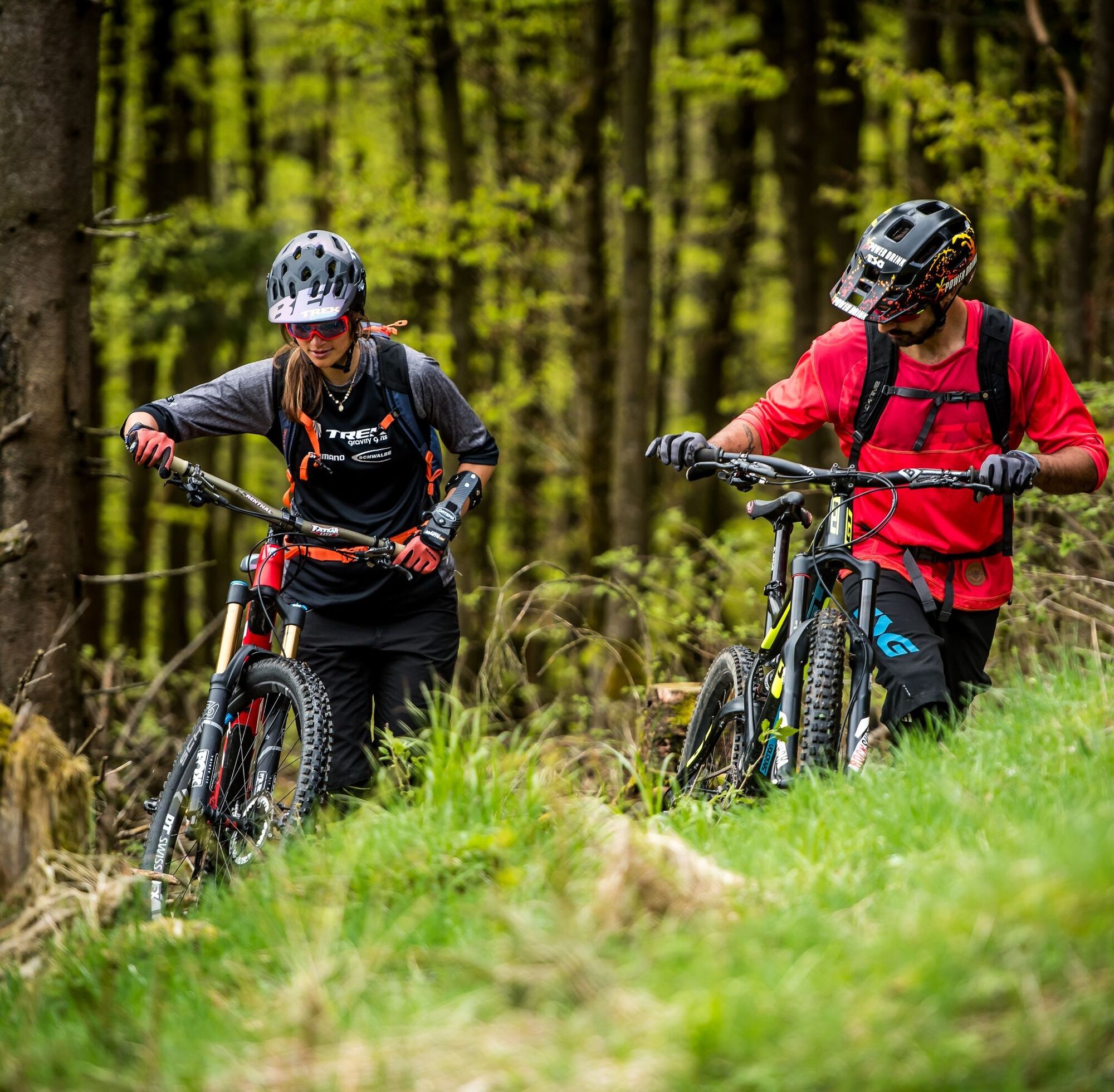
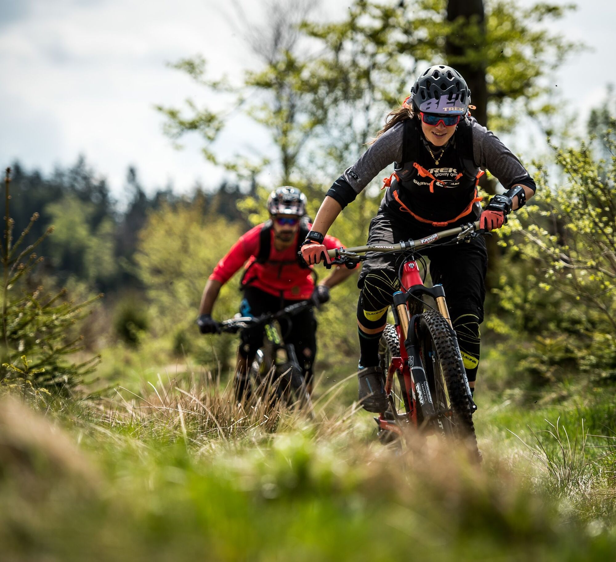
After a steep climb to the Hoher Eimberg, follow 9 kilometers on a trail that runs along the state border. Technically very demanding sections make the hearts of bikers beat faster. One kilometer past the Huckeshohl farm, the route descends on asphalt through Bontkirchen and from there into the forest to the Diemelsee. On the lakeside road you can relax a bit and take a break at the lake in Heringhausen. We bike across the fields to Giebringhausen, then steadily uphill to the Dommelturm. What follows is an up and down through fields and forest to Schwalefeld. Shortly before Willingen, we still have to overcome the Orenberg, which rewards us with a fast descent. Past the Orenberg ski jump, the route goes down to Willingen and then back up to the starting point.
Da
Da
Functional, weather-appropriate cycling clothing, packed lunch, enough fluids (water, tea), pump, puncture repair kit, and multitool are recommended.
The mountain bike routes of the Bike Arena Sauerland are checked twice a year.
From the north: A 2 Hamburg - Hannover - Dortmund to Bielefeld junction, A 33 Paderborn, exit to Haaren/Wünnenberg - Alme - Brilon
From the west: A 44 Dortmund - Kassel, exit Anröchte/Erwitte - Rüthen - Brilon - Willingen.
From the south: A 5 Frankfurt - Gießen, A 485 to Gießener Nordkreuz - Marburg - Frankenberg - Korbach - Willingen
Bus/train to Willingen station, then continue with call taxi (AST), stop at the visitor center or 10 minutes walk to the starting point at the visitor center
Free parking at the visitor center/Lagunenbad
The route can also start at Diemelsee, so you can spend your break at a nice hut in Willingen.
Spletne kamere s turneje
Talstation Ettelsberg-Seilbahn
Talstation Ettelsberg-Seilbahn
Talstation Ettelsberg-Seilbahn
Talstation Ettelsberg-Seilbahn
Kurhotel Hochsauerland 2010
Kurhotel Hochsauerland 2010
Kurhotel Hochsauerland 2010
Kurhotel Hochsauerland 2010
Diemelsee
Sternrodt Skilift
Hochheideturm - Ettelsberg
Diemelsee – Heringhausen – Strandbad mit Seepromenade
Skywalk
Skywalk
Skywalk
Skywalk
Skywalk
Stern Hotel Sauerland
Schwalefeld - Cafe Fernblick
Willinger Brauhaus
Ettelsberg
Talstation Ettelsberg Seilbahn
Ettelsberg Seilbahn Bergstation/ Hochheideturm
Sesselbahn Ritzhagen Berg
Piste Ritzhagen
Mountainbike-Strecke K1
K1 Gipfelkreuz
Bikepark (Sommer) / Skipiste an K1-Hütte (Winter)
Spielplatz, Bergsee, K1-Gipfel
Spielplatz am Hochheideturm
Ettelsbergplateau
Ettelsberghütte
Bergstation Ritzhagen
Skipiste Ritzhagen
Pridobite vpogled Vedno v živo na mestu z več kot 9.500 spletnimi kamerami. bergfex Kot uporabnik Pro si lahko zdaj ogledate ustrezne spletne kamere za številne izlete v aplikaciji izleti iz. Tako si lahko neposredno ogledate trenutne razmere. Priljubljeni izleti v okolici
- 4.7
Bruchhauser Steine B1
srednjaPohodništvo 11.8 km - 5.0
Circular route Skywalk/Hill - Ettelsberg
svetlobaPohodništvo 4.10 km - 4.5
Bruchhausener Steine
težkoPohodništvo 5.15 km - 5.0
Rundwanderung Ruhrquelle Winterberg
svetlobaPohodništvo 3.74 km - 4.8
Rundwanderung Diemelsee
svetlobaPohodništvo 8.54 km - 4.0
Willingen (W8)
srednjaPohodništvo 12.9 km - 5.0
Rothaarsteig-Spur - Grönebacher Dorfpfad
srednjaPohodništvo 10.6 km - 5.0
Willingen (W6)
srednjaPohodništvo 12.9 km - 5.0
Strycktal circular route (Willingen)
srednjaPohodništvo 3.99 km - 5.0
Uplandsteig - THE Original -
težkoPohodništvo v daljavo 66.1 km
Pohodništvo in sledenje


Ne zamudite ponudb in navdiha za naslednje počitnice
Vaš e-poštni naslov je bil dodan na poštni seznam.





