







Quality hiking trail Diemelsteig - The rustic hiking trail with heart
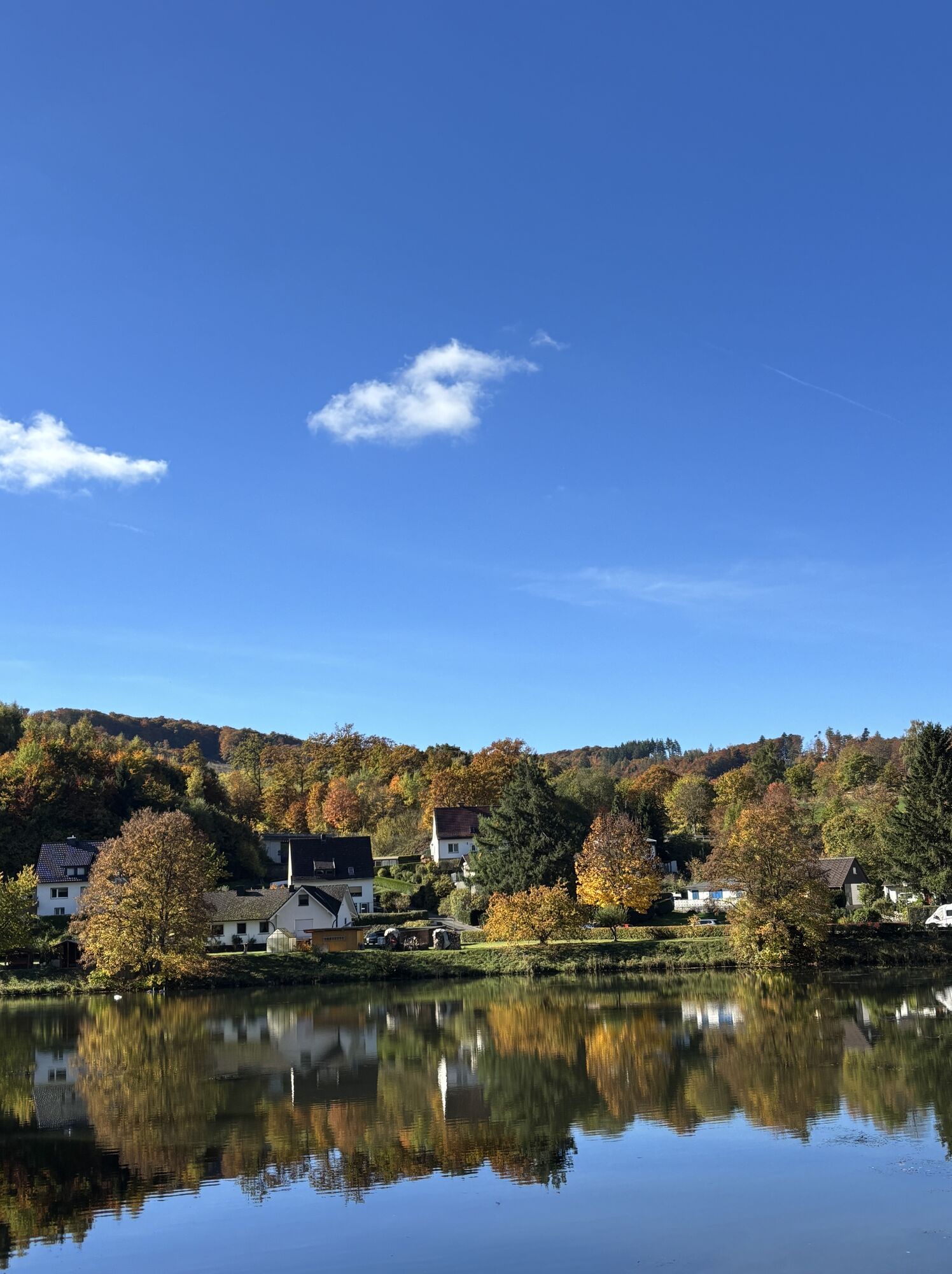

The Diemelsee holiday region has been known for years for holidays and relaxation, water sports, and hiking.
The 63 km long Diemelsteig is a rewarding and challenging hiking trail. Starting at the car park...
The Diemelsee holiday region has been known for years for holidays and relaxation, water sports, and hiking.
The 63 km long Diemelsteig is a rewarding and challenging hiking trail. Starting at the car park in Kirchstraße in Heringhausen, the Diemelsteig leads via Rhenegge to Adorf, continuing via Wirmighausen, Flechtdorf, and Schweinsbühl to Deisfeld. Further via Hemmighausen, the Diemelsteig partly follows the Uplandsteig to Ottlar and then returns “alone” to Heringhausen.
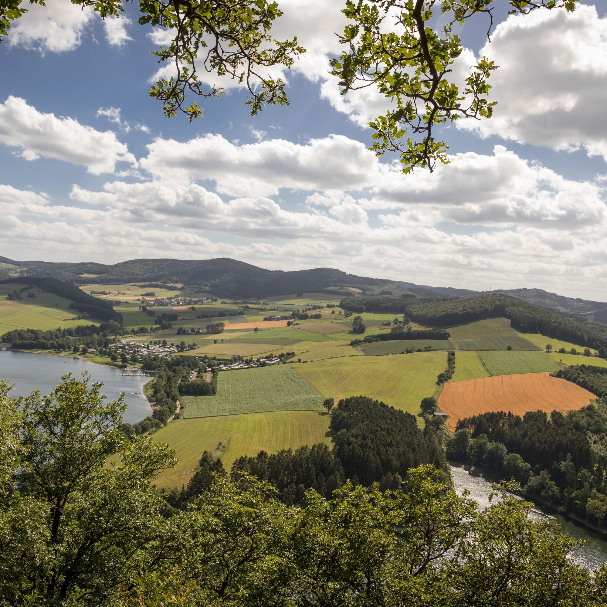
With a largely natural trail through a distinctive upland landscape, the trail offers magnificent views, greater inclines, panoramic landscapes, meadows, and fields in constant alternation. The good marking, including continuous kilometer markings, allows hiking with or without a map.
For further information on the Diemelsteig, accommodations, or sights, please contact the Diemelsee Tourist Information.


Diemelsteig trail description
D km 0 to 5
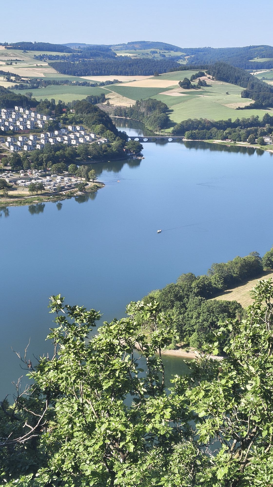
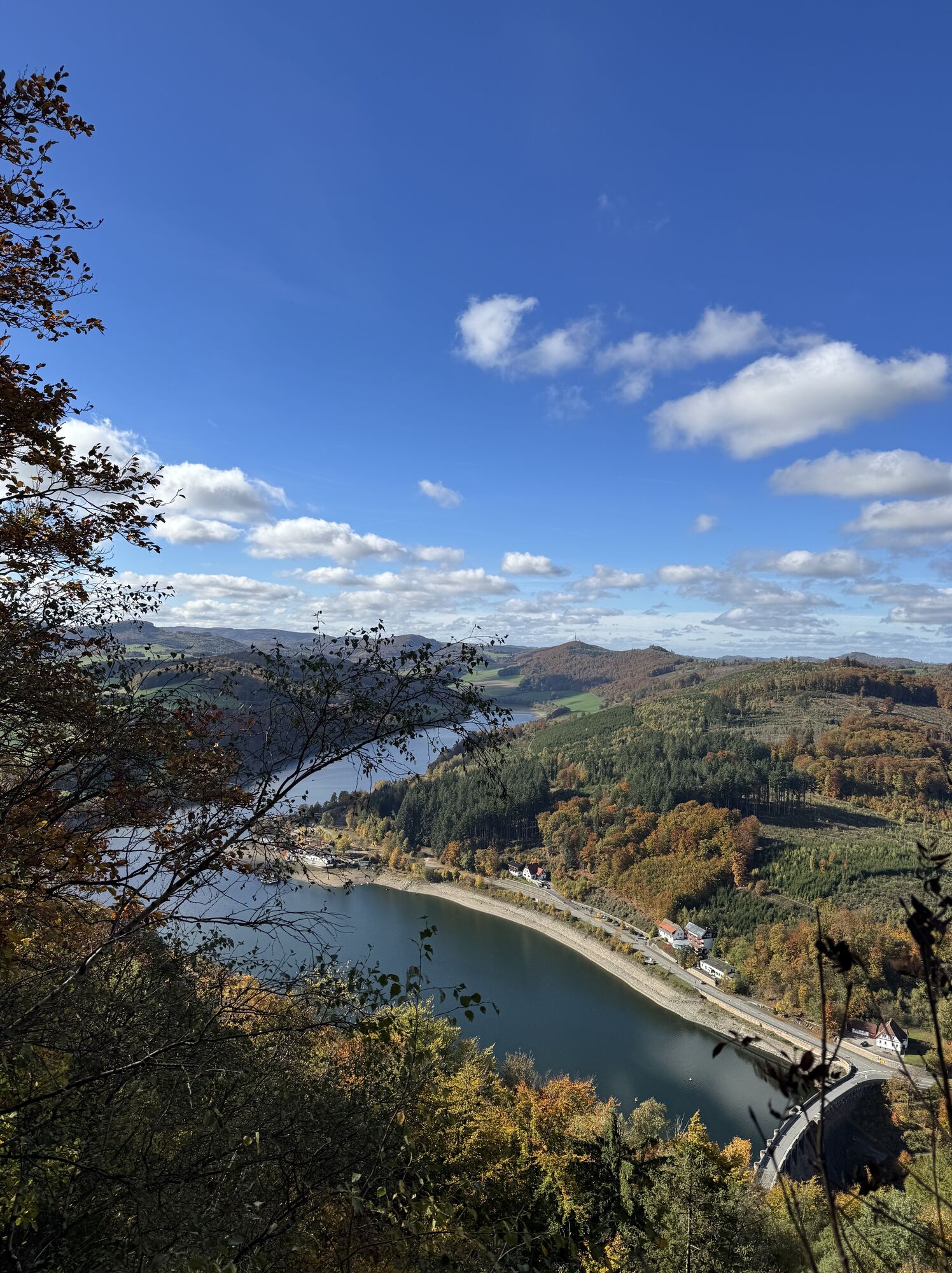
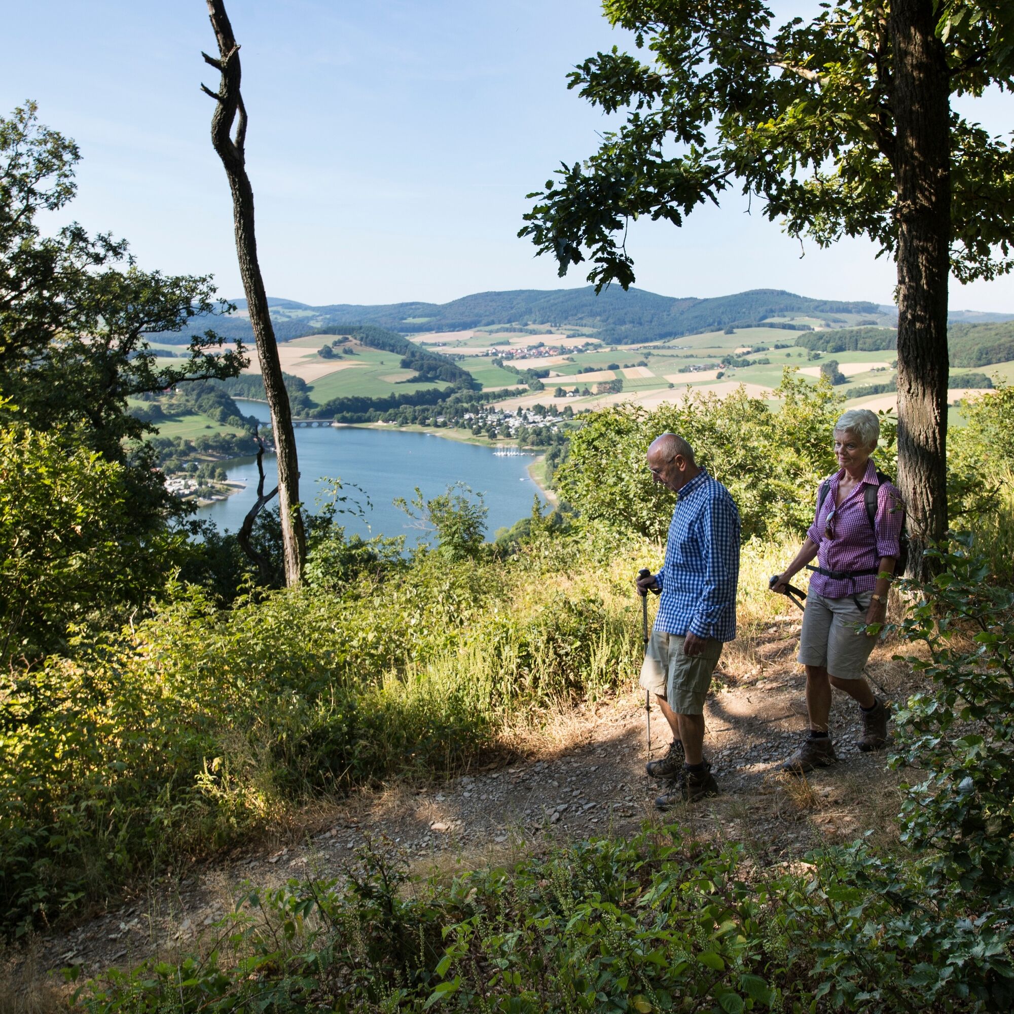
At the Florenbicke hiking car park in Heringhausen is the entry to the Diemelsteig below the St. Muffert viewpoint. It is recommended to park at the car park at the Tourist Information (Kirchstraße 6). From there, a 1 km feeder leads you along the lakeside promenade with magnificent views of small bays, sailors, surfers, and bathers. The route passes the largest hotel on Diemelsee to the exit of Heringhausen. You cross the L 3078 and reach after a few meters the entry at the Florenbicke hiking car park. Then follows the ascent to the secret highlight of the Diemelsteig: the St. Muffert cliff with its shelter hut nearly at the highest point of the mountain (592 m). An incomparable panoramic view of the two ends of the lake makes the arduous climb worthwhile. You pass the Eisenberg. Past historic boundary stones of the Principality of Waldeck (FW) and leave the forest toward Rhenegge.
D km 5 to 10
Beautiful view of Padberg with its monastery. Past meadows and fields the path leads to the Frauenrad with a shelter hut. This invites you to linger and offers a wonderful view of Adorf with its windmills. Now you follow the field path downhill to the Rhene. This small brook formerly fed the “Small Mill,” whose wheel can still be seen today at the “Hofmeister” inn in Adorf. Further along the mill ditch to the Rhenegger Mill, where electricity is still generated today with a water turbine. A bridge leads the path along the L3076 toward the visitor mine Grube “Christiane.” Uphill past the exit of the “Pferdestollen” mine leads the Diemelsteig to a small forest area.
D km 10 to 15
You turn left at the forest edge and follow the path toward Martenberg. Before the Martenberg cliff, known worldwide in geology circles as the “Rosenschlösschen” and “Adorfer Stufe” formations, the trail leads downhill to Adorf. For the next two kilometers you are accompanied by the “Bicke,” a small brook originating in Wirmighausen.
D km 15 to 20
Along the Eselspfad you go at the edge of the village to the main road, cross the K74, and leave Wirmighausen toward Lenkenberg. Past meadows and fields over Lenkenberg to the forest edge, after a short right turn you go left again to Stunzenberg parallel and above the Aartalstraße in the forest. At kilometer 18.5 the path turns sharply right toward Eichenlied.
D km 20 to 25
At kilometer 20 you cross the K74 and then go toward Kalkrose. Coming from the forest, a wonderful view opens on the village of Flechtdorf with its two-towered pillar basilica. After 500 m Kreisstraße you reach Flechtdorf. Further to the church. At the cemetery the path turns right toward Halsberg. Past forest edges, fields, and meadows, the path loops gently ascending through the forest to the “bridgehead.”
D km 25 to 30
On the relatively even ridge path (600 m above sea level) you enjoy the magnificent forest landscape of the uplands. At kilometer 29.5 you leave the contiguous forest below the “Widdehagen.” Shortly before kilometer 30 you reach a shelter hut, which invites you to linger near the Rhene spring.
D km 30 to 35
A short section leads the path over the K68, straight on to a small forest. When you have crossed this, a view opens of the village Schweinsbühl. In a small loop you leave the outskirts of Schweinsbühl, crossing the K 67. On the ridge path past “Winterscheid” you turn left. At kilometer 33 the path turns right, runs about 800 m straight through the forest. The trail winds downhill to Hamesbeutel, circles it and leads steeply downhill to the center of Deisfeld.
D km 35 to 40
After a small loop in the village, the path runs about 2 km along the Diemel to the Speier Mill. After a few meters you then reach Hemmighausen, where the Diemelsteig meets the Uplandsteig in the village center and continues together from here. Uphill now the combined trail leads between Ölkesberg and Dietrichsberg to the shelter hut at Niegelscheid.
D km 40 to 45
A wonderful view of Diemelsee invites a short break. The landscape now offers magnificent distant views, the scenery is mainly characterized by meadows and fields. Uphill you follow the trail to route kilometer 43, shortly afterward crossing Kreisstraße 63 and following on an asphalt road the signposts to the Dommelhöfe (635 m above sea level). Upon arrival at the farms, you should leave the path briefly and go up to Dommelturm (726 m above sea level). This detour is rewarded with a unique panoramic view into Sauerland and Waldecker Land. At this point, Diemelsteig and Uplandsteig also separate.
D km 45 to 50
In the middle of the magnificent mixed and spruce forest, you hike to the shelter hut at "Wiggenknochen." The upland landscape presents itself here at its best. The path turns right toward Stormbruch. Above the village it passes meadows and fields. After kilometer 48 you cross the road to Bontkirchen and reach a forest area after several hundred meters. The trail now runs through spruce and mixed forest above Diemelsee (Itter inlet) and offers several beautiful views of the reservoir with nature reserve.
D km 50 to 54
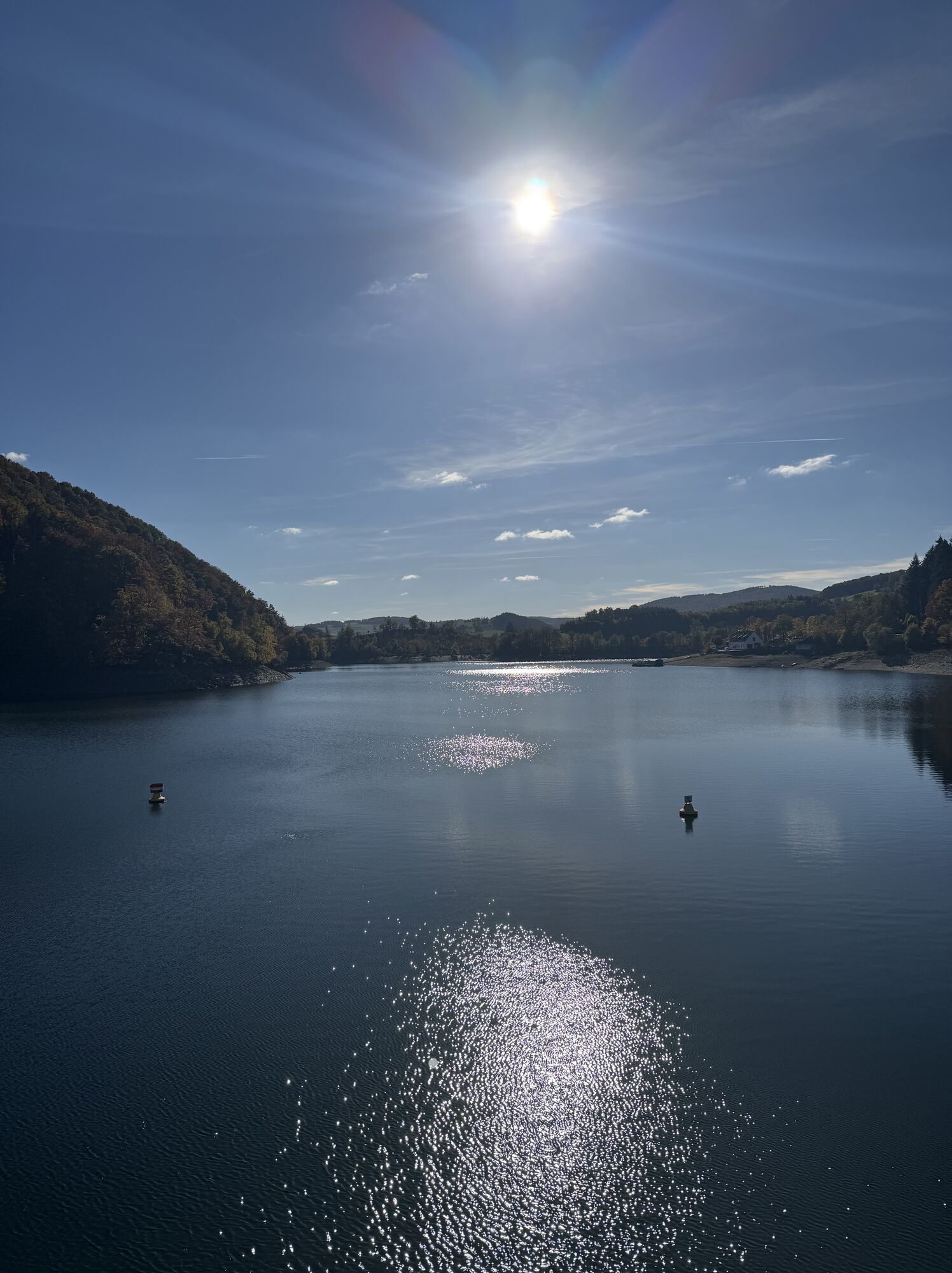
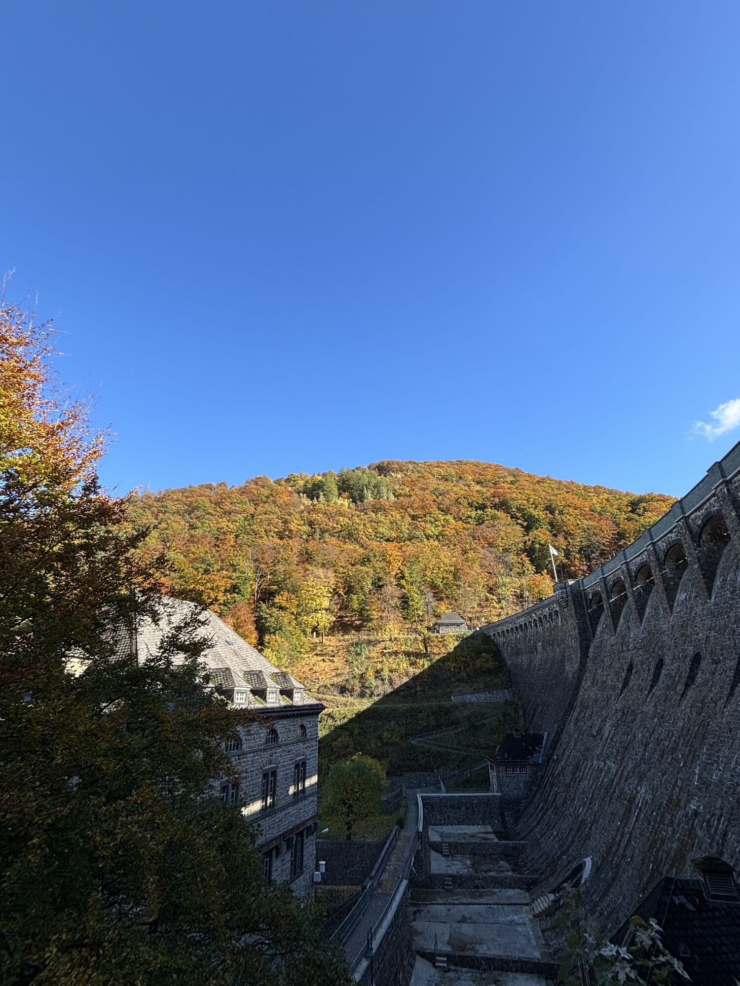
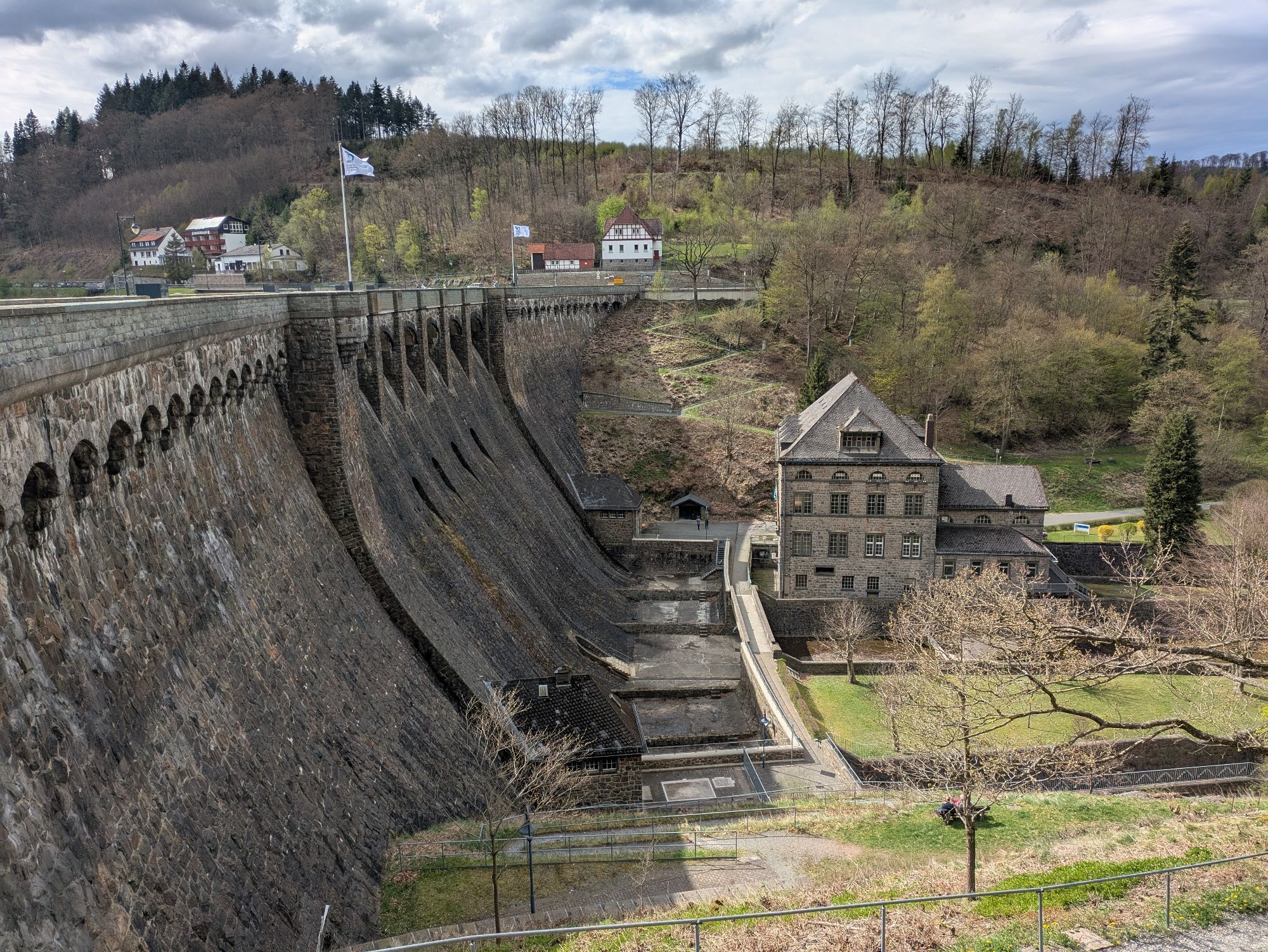
Coming out of the forest, Diemelsee shows itself from its Hessian bathing side. Downhill to the shore path by the campsites you reach the Große Eschenseite. Through beech forest and the nature reserve of the Diemelsee-Itter branch, the end point of Diemelsee is reached. Here you cross the Diemelsee ring road (L3393) and hike on the Diemelsteig up into the deciduous forest above Kotthausen. Along the entire hiking route to the weekend houses “Am Fresenberg” there is a beautiful view of the 3.2 km long Itter arm. Above the weekend houses, the path leads through the deciduous forest to the Helminghausen hiking car park and then further toward the dam. Across a zig-zag path near the dam wall you reach the power station, cross a small bridge above the Tos basin and hike along the Diemel to the small lock. From here, the ascent begins at 341 m above sea level over the pond with an impressive view of the power station building and the dam. After overcoming 253 meters in altitude on the path to the summit of Eisenberg with a height of 595 m above sea level, the view drifts over the lake and the many mountains of the (Hessian) Upland and the North Rhine-Westphalian Sauerland.
D km 60 to 63
From the Eisenberg summit, the highest mountain in the city of Marsberg, the hike leads through beech forest, past historic boundary stones down to the turning point of the Diemelsteig at an altitude of 590 m above sea level. Now it goes back to the starting point Florenbicke hiking car park.
Da
sturdy and well-broken-in footwear
provisions
weatherproof clothing
map material
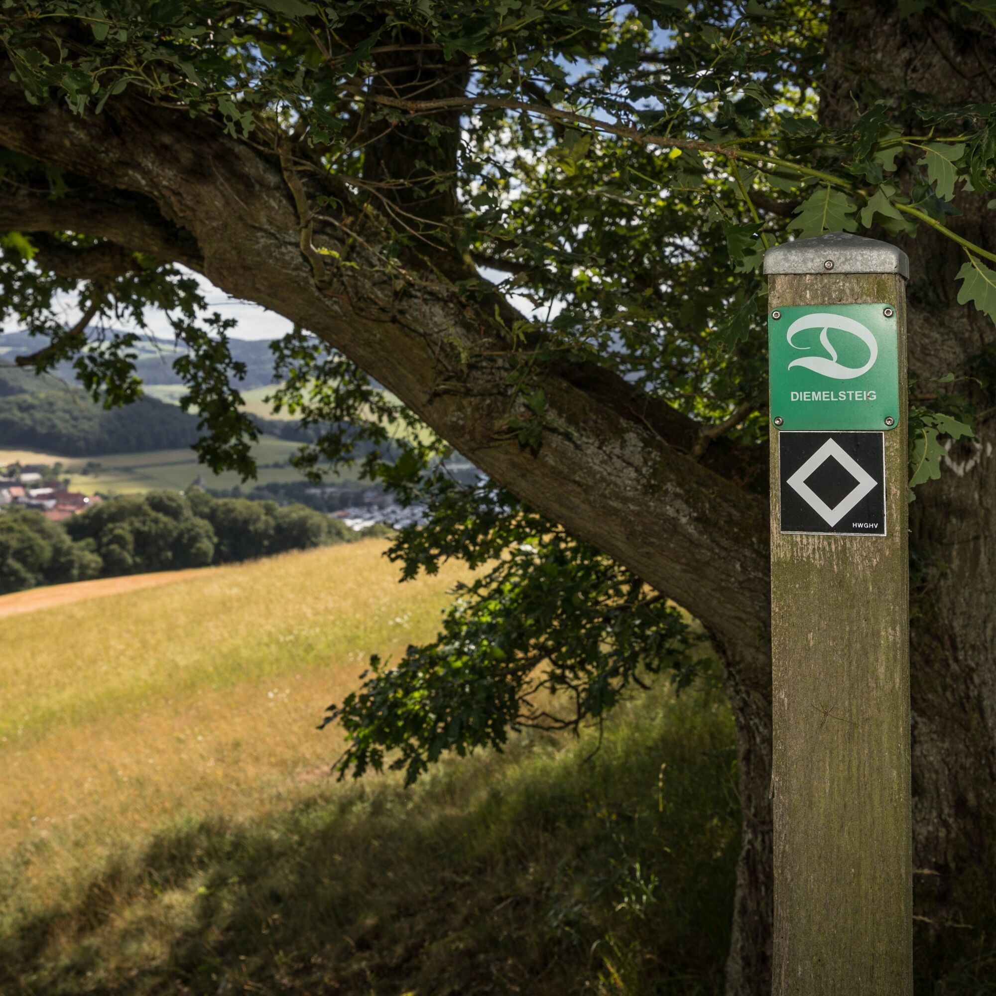
Marking: White "D" on green square
Public transport:
Recommended is arrival by train to Willingen or Willingen-Usseln station, then with on-call shared taxi (included in guest card MeineCard+).
Bus from Willingen/Usseln station to Heringhausen Mitte stop (included in SauerlandCard guest card).
Line 569: Diemelsee - Willingen/Bad Arolsen
Line 566: Korbach - Diemelsee
Line 560: Diemelsee - Willingen/Bad Arolsen/Twistesee
Train stations around Diemelsee
Willingen (Upland) station
Marsberg-Bredelar station
Korbach main station
Brilon (Wald) station
Shared taxi
AST (On-call shared taxi), stop Heringhausen Mitte Tel. 05631-5062088
Florenbicke hiking car park (entry)
Large-capacity car park Heringhausen (Kirchstraße)
Several large-capacity car parks around the lake.
St. Muffert viewpoint
Visionarium interactive exhibition
Boat tour
Visitor mine Grube Christiane
Flechtdorf monastery
Dommelturm
Dam
Spletne kamere s turneje
Pridobite vpogled
Vedno v živo na mestu z več kot 9.500 spletnimi kamerami. bergfex Kot uporabnik Pro si lahko zdaj ogledate ustrezne spletne kamere za številne izlete v aplikaciji izleti iz. Tako si lahko neposredno ogledate trenutne razmere.
Priljubljeni izleti v okolici
-
5.0
Circular route Skywalk/Hill - Ettelsberg
svetlobaPohodništvo 4.10 km -
4.8
Rundwanderung Diemelsee
svetlobaPohodništvo 8.54 km -
4.0
Willingen (W8)
srednjaPohodništvo 12.9 km -
5.0
Willingen (W6)
srednjaPohodništvo 12.9 km -
5.0
Strycktal circular route (Willingen)
srednjaPohodništvo 3.99 km -
5.0
Uplandsteig - THE Original -
težkoPohodništvo v daljavo 66.1 km -
5.0
Wandertipp: Rundweg Ettelsberg-Mühlenkopfschanze
svetlobaPohodništvo 7 km -
5.0
Briloner Kammweg
težkoPohodništvo v daljavo 47.9 km -
5.0
Green Trails Willingen Summit Loop Hoppecke (GRU)
srednjaKolesarjenje 12.6 km -
5.0
Upländer meditation path
svetlobaPohodništvo 17.6 km

Pohodništvo in sledenje


Ne zamudite ponudb in navdiha za naslednje počitnice
Vaš e-poštni naslov je bil dodan na poštni seznam.





