
The larris of Le Quesne and Mont d'Arguël
svetloba
Pridobite to turo v svoj mobilni telefon
The larris of Le Quesne and Mont d'Arguël
svetloba
Pohodništvo
1.51
km
Skenirajte kodo QR in začnite navigacijo v aplikaciji bergfex.


Pohodništvo in sledenje



The larris of Le Quesne and Mont d'Arguël
svetloba
Razdalja
1.51
km
Trajanje
00:33
h
Ascent
70
hm
Morska gladina
103 -
157
m

V aplikaciji si oglej pot
Brezplačno namestite aplikacijo in spremljajte pot z GPS-navigacijo in sledenjem.
bergfex zdaj uporabljaj v aplikaciji
S kamero poskeniraj QR-kodo
Ko je aplikacija nameščena, se vsebina odpre takoj. Če aplikacije še nimaš, te bo preusmerila na stran za brezplačen prenos.
Prenos skladbe
The larris of Le Quesne and Mont d'Arguël
svetloba
Pohodništvo
1.51
km
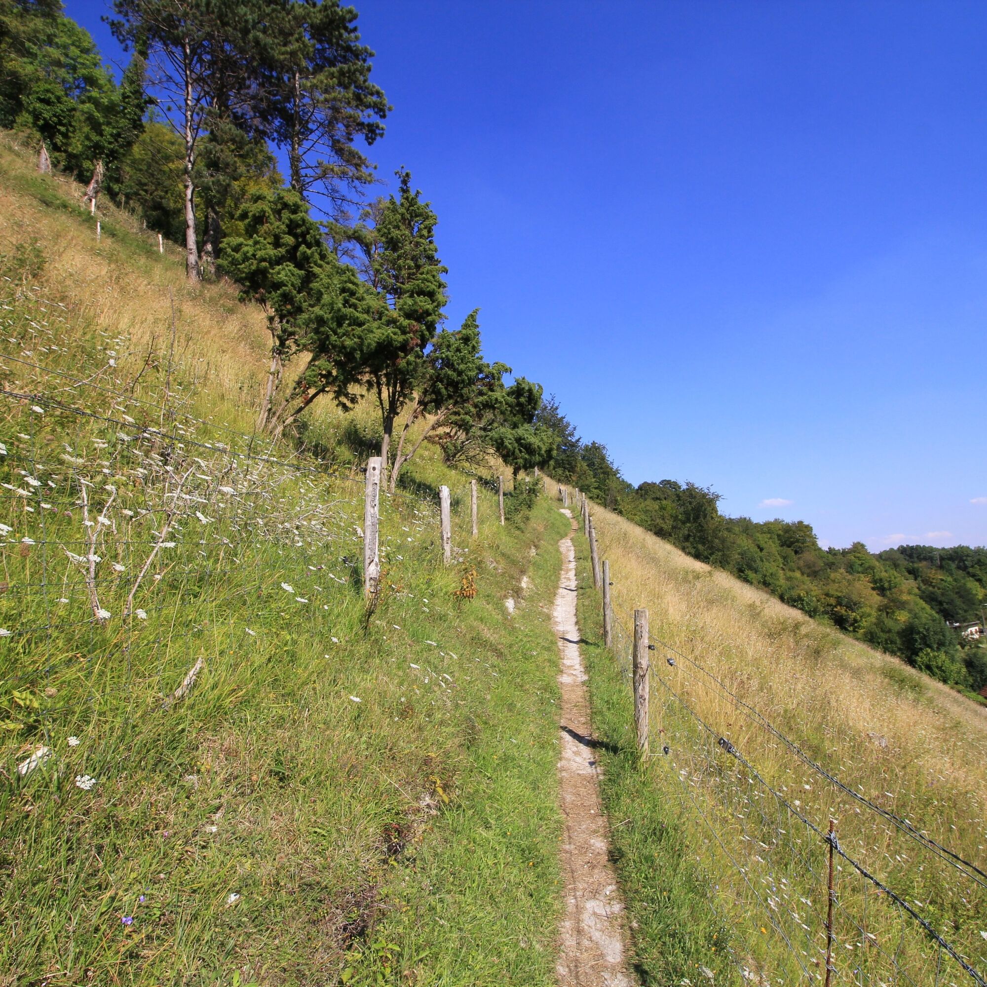
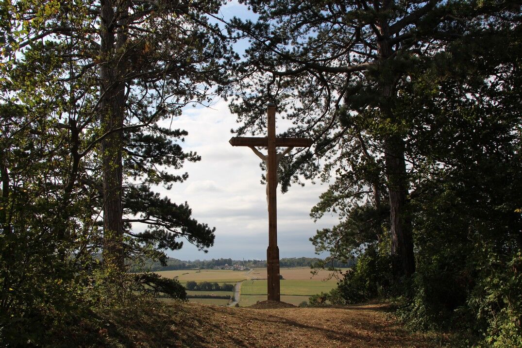
A walk in the wooded countryside, around a feudal mound under the watchful eye of the Virgin.
The Liger flows towards the Bresle in the hollow of a bocage valley, dominated on the right bank by a steep...
Opis
A walk in the wooded countryside, around a feudal mound under the watchful eye of the Virgin.
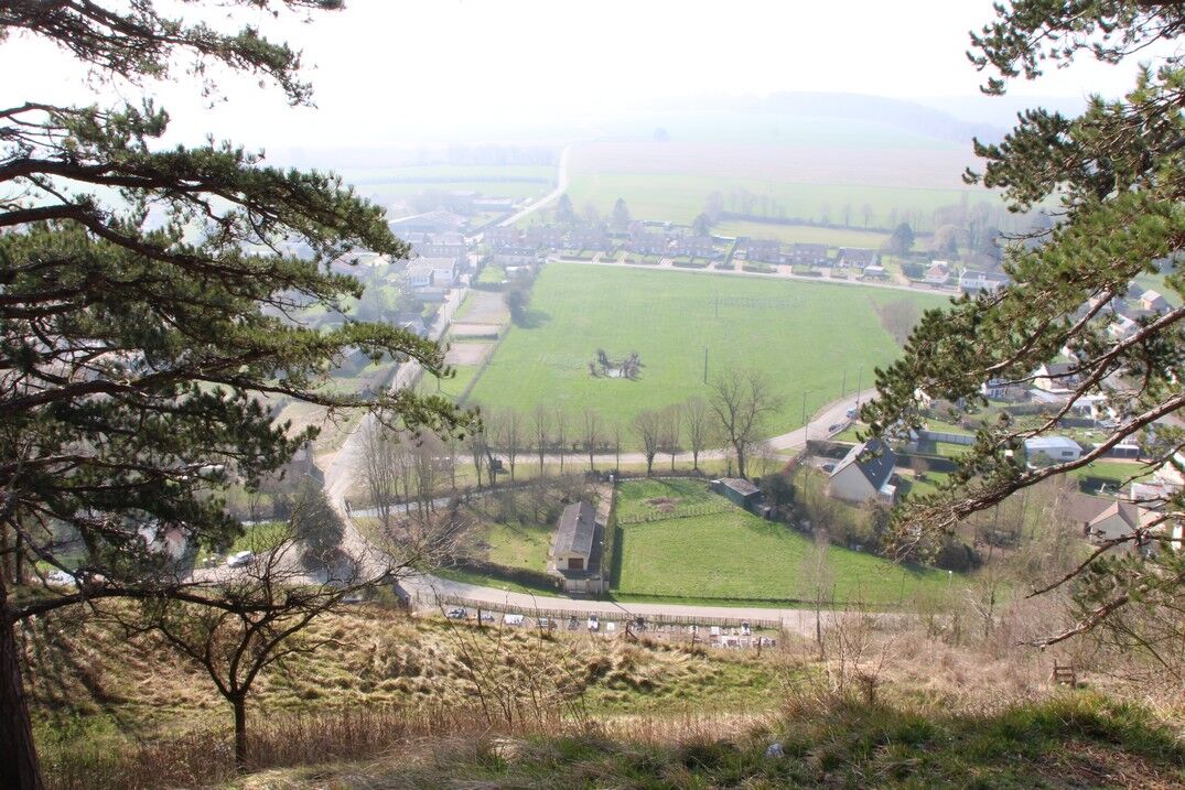
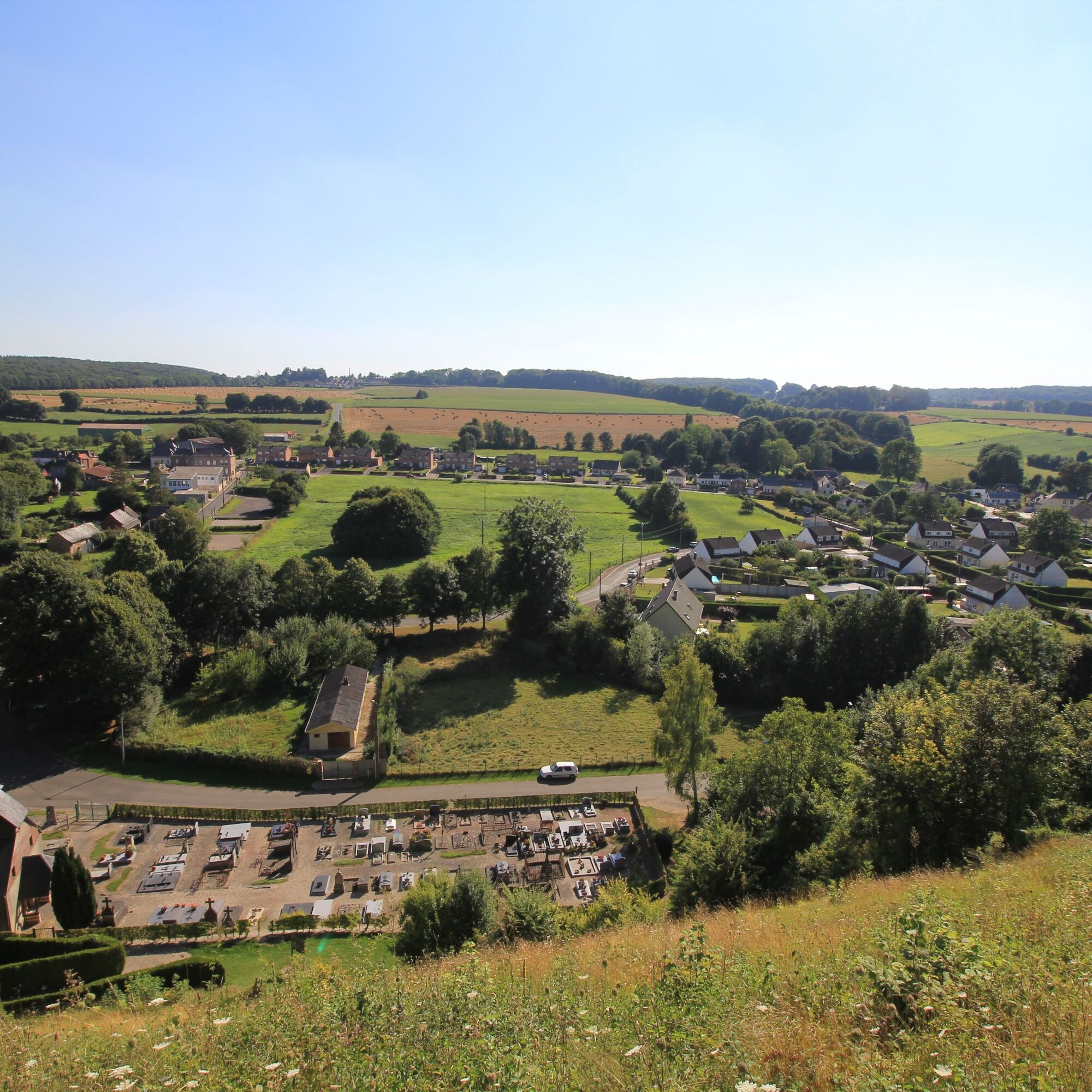
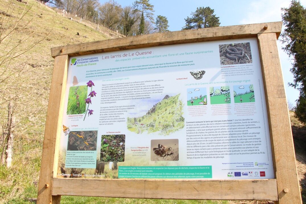
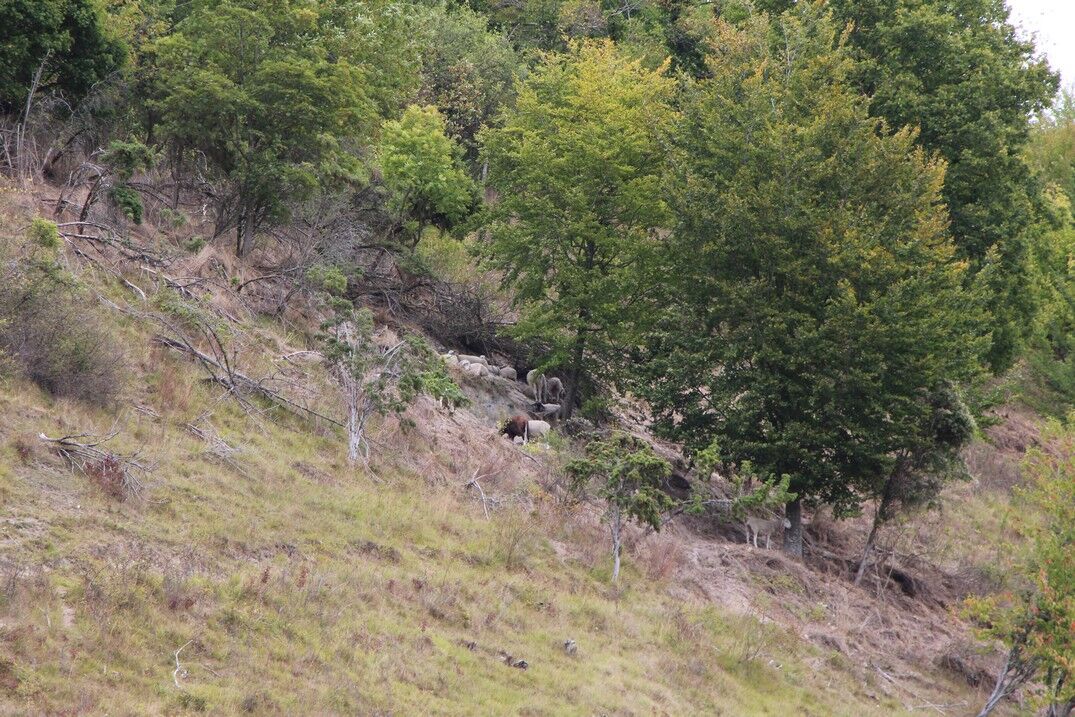
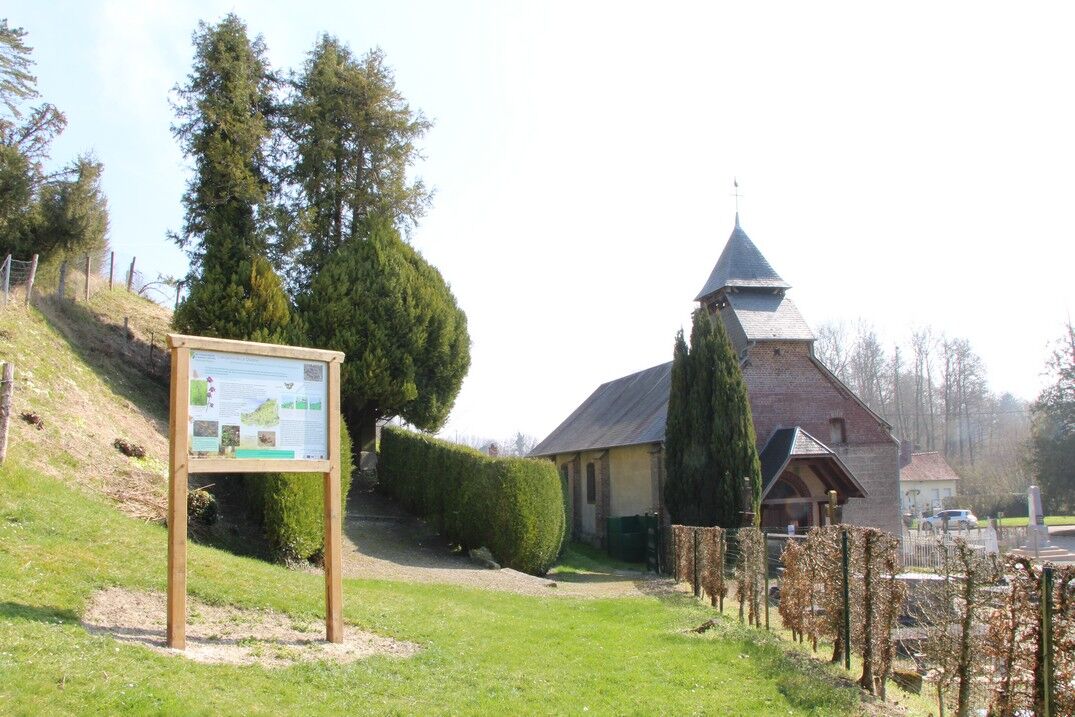
The Liger flows towards the Bresle in the hollow of a bocage valley, dominated on the right bank by a steep slope. One of these hills overlooks the village of Le Quesne and culminates at the feudal mound of Mont d'Arguël, which protects its perched village. A walk offering a splendid panorama over the valley.
The Liger flows towards the Bresle in the hollow of a bocage valley, dominated on the right bank by a steep slope. One of these hills overlooks the village of Le Quesne and culminates at the feudal mound of Mont d'Arguël, which protects its perched village. A walk offering a splendid panorama over the valley.
Pot
Mont d'Arguël
(157 m)
Vrh
0.2 km
Église Saint-Rémy
(102 m)
Kraj čaščenja
1.5 km
Le Quesne
(103 m)
Vas
1.5 km
Pot
The larris of Le Quesne and Mont d'Arguël
svetloba
Pohodništvo
1.51
km
Mont d'Arguël
(157 m)
Vrh
0.2 km
Arguel
(159 m)
Vas
0.7 km
Église Saint-Rémy
(102 m)
Kraj čaščenja
1.5 km
Le Quesne
(103 m)
Vas
1.5 km
Avtor
Zagotavlja Somme Tourisme
Za ogled The larris of Le Quesne and Mont d'Arguël poskrbi outdooractive.com.


Dodatne informacije in nasveti
Dodatne informacije
Še ni pregledov
Priljubljeni izleti v okolici
-
Vimeu to Airaines greenway
svetlobaPohodništvo 21.0 km -
The Tuf Crosses: Sorel-en-Vimeu - Ercourt
svetlobaCestno kolo 54.7 km -
The mill of Frucourt
svetlobaPohodništvo 9.03 km -
The fly tree
svetlobaPohodništvo 14.6 km -
The Liger loop
svetlobaPohodništvo 9.75 km -
Crosses Route
svetlobaCestno kolo 41.6 km -
Chès Pailleuses (Loop A)
svetlobaCestno kolo 36.9 km -
The larris of Saint-Aubin-Rivière
svetlobaPohodništvo 1.74 km -
Les larris de Blangiel
svetlobaPohodništvo 2.08 km -
Chés Pailleuses (Loop B)
svetlobaCestno kolo 34.5 km
Pohodništvo in sledenje

Zaradi več kot 550.000 predlogov izletov, podrobnih zemljevidov in intuitivnega načrtovanja poti je aplikacija obvezna oprema za vse ljubitelje narave.

Ne zamudite ponudb in navdiha za naslednje počitnice
Naročite se na novice
Napaka
Zgodila se je napaka. Prosimo, poskusite znova.
Zahvaljujemo se vam za prijavo
Vaš e-poštni naslov je bil dodan na poštni seznam.
Izleti po vsej Evropi
Avstrija
Švica
Nemčija
Italija
Slovenija
Francija
Nizozemska
Belgija
Poljska
Lihtenštajn
Češka
Slovaška
Španija
Chorvátsko
Bosna in Hercegovina
Luksemburg
Andora
පෘතුගාලය
අයිස්ලන්තය
එක්සත් රාජධානිය
අයර්ලන්තය
ග්රීසිය
ඇල්බේනියාව
North Macedonia
Malta
Norway
Montenegro
Moldova
කොසෝවො
හන්ගේරියානු සමුහාණ්ඩුව
San Marino
රුමේනියාව
එස්ටෝනියා
ලැට්වියාව
බෙලාරස්
සයිප්රස්
Lithuania
Serbia
බල්ගේරියාව
Monaco
ඩෙන්මාර්කය
Sweden
ෆින්ලන්තය


