The highs of Pont-Rémy
svetloba
Navigacija po spletni strani
Navigacija po spletni strani
Pridobite to turo v svoj mobilni telefon
The highs of Pont-Rémy
svetloba
Pohodništvo
9.48
km
Skenirajte kodo QR in začnite navigacijo v aplikaciji bergfex.

Pohodništvo in sledenje


The highs of Pont-Rémy
svetloba
Razdalja
9.48
km
Trajanje
02:25
h
Ascent
112
hm
Morska gladina
7 -
101
m
Prenos skladbe
The highs of Pont-Rémy
svetloba
Pohodništvo
9.48
km
Follow the Somme and its ponds, ascend towards the fields and woods, and continue to Pont-Rémy, aptly named with all its bridges.Follow the towpath up to the bridge. Cross it and continue until the bridge...
Opis
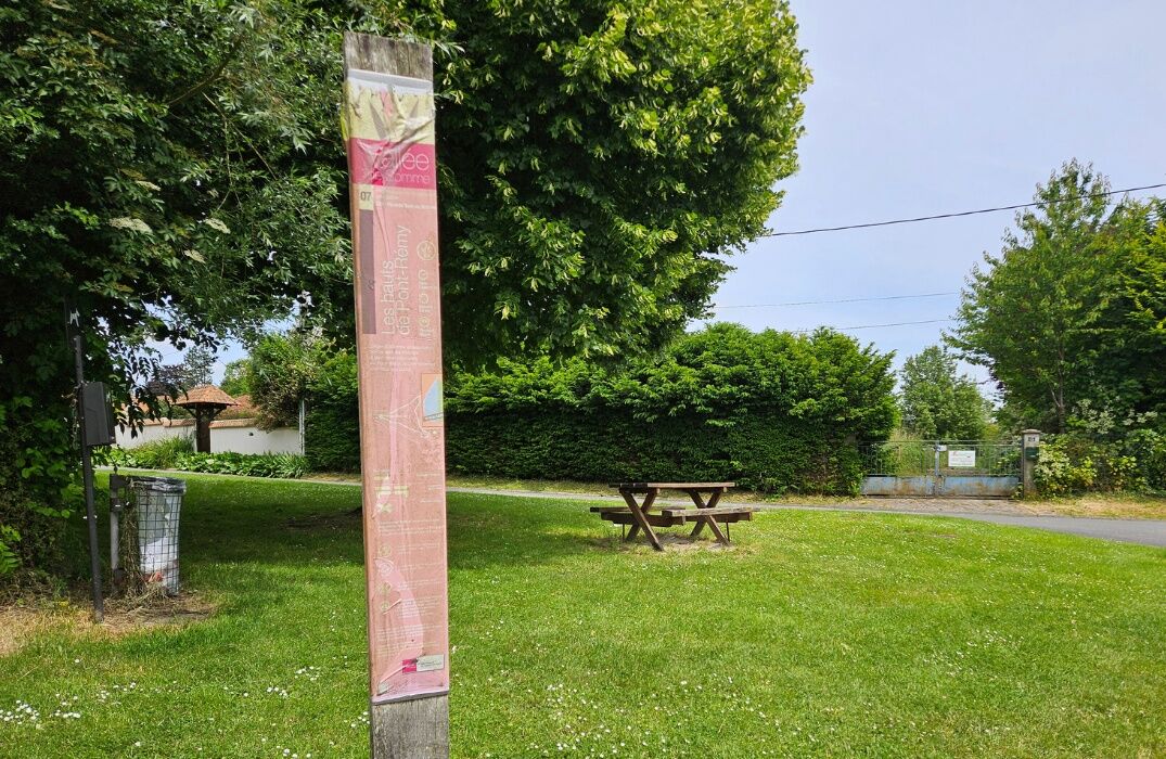
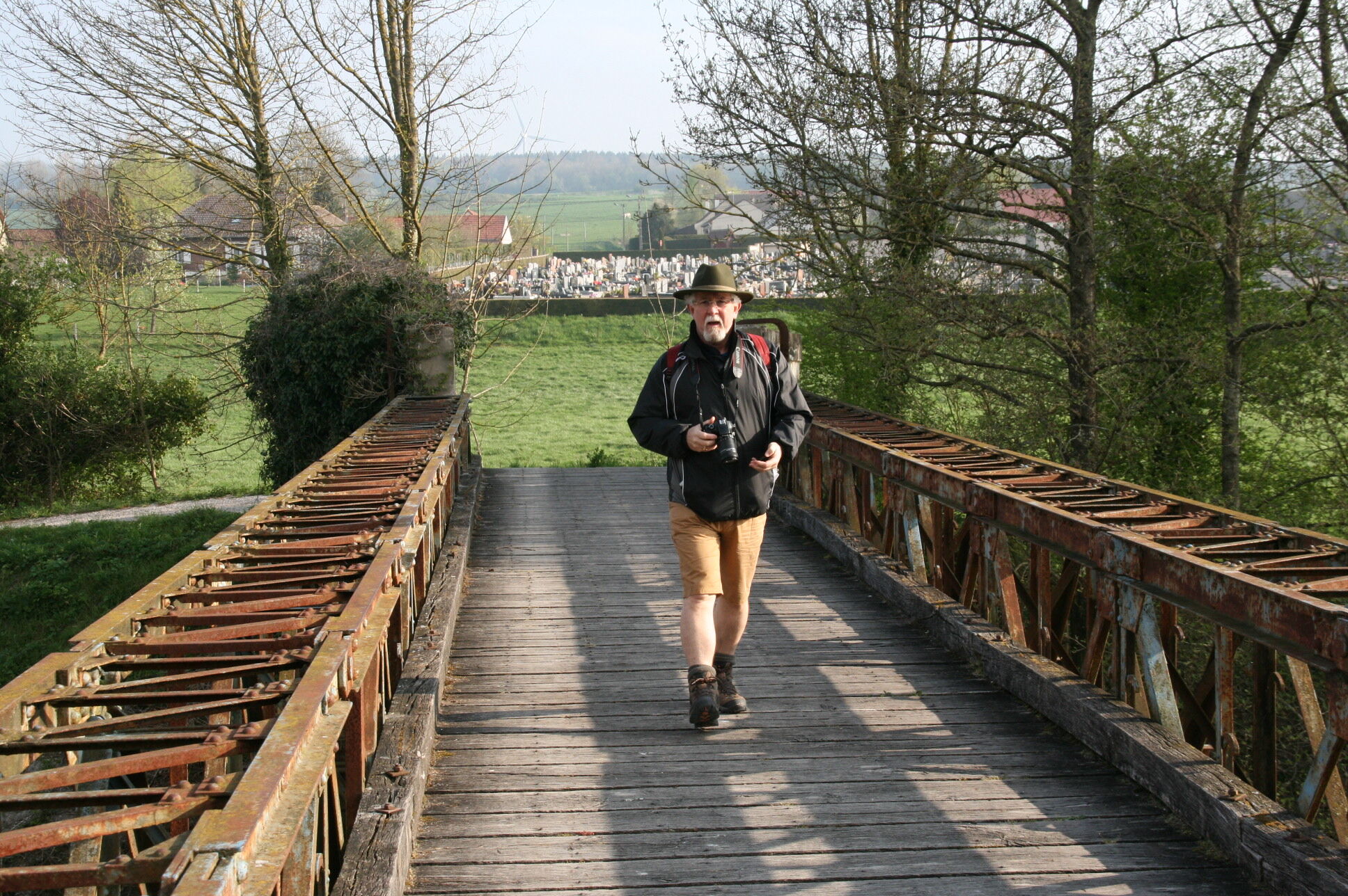
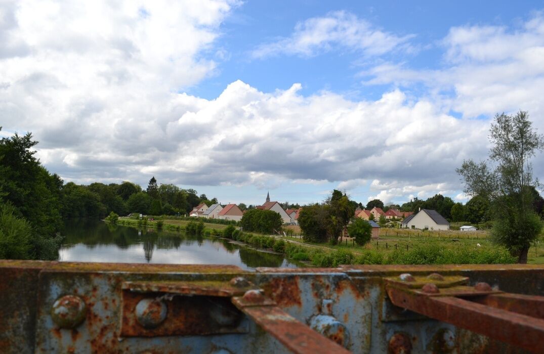
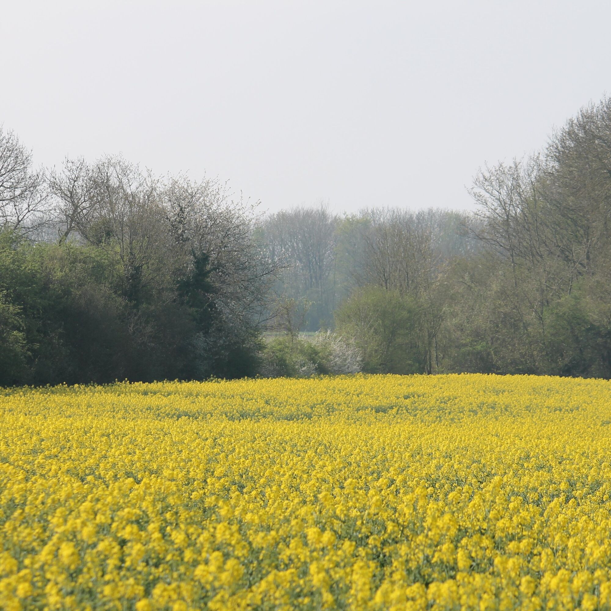
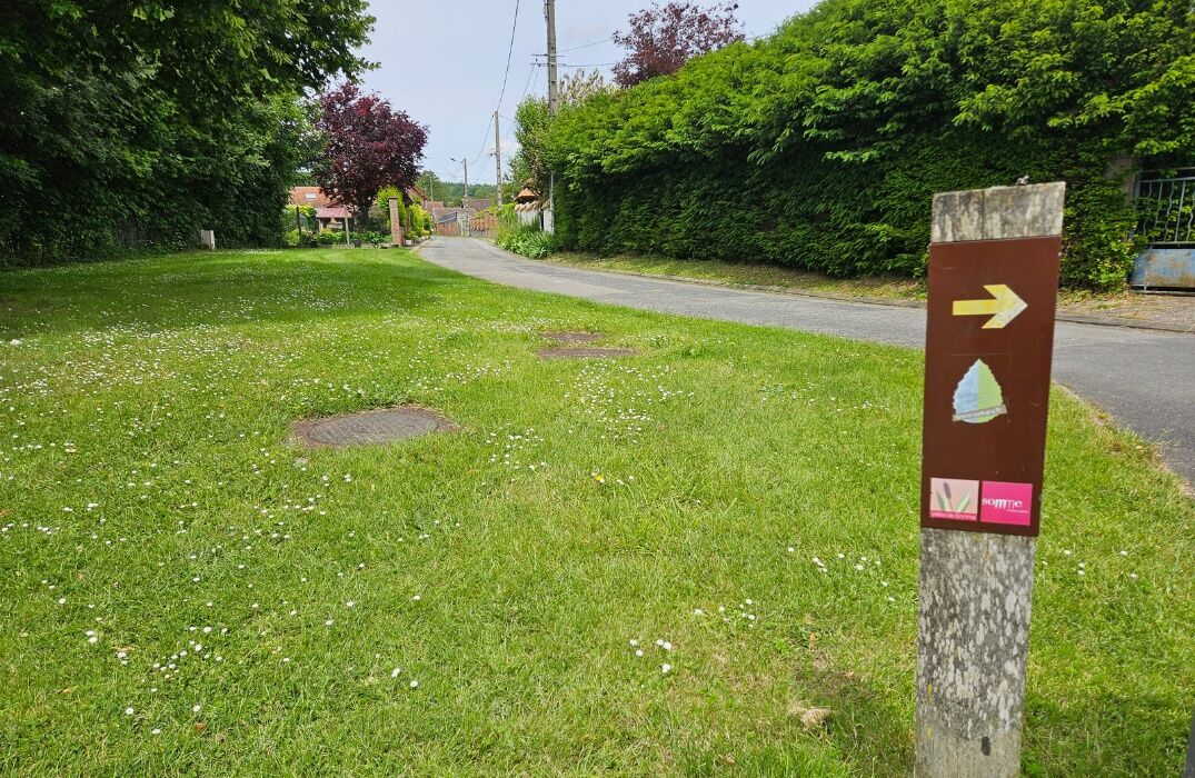
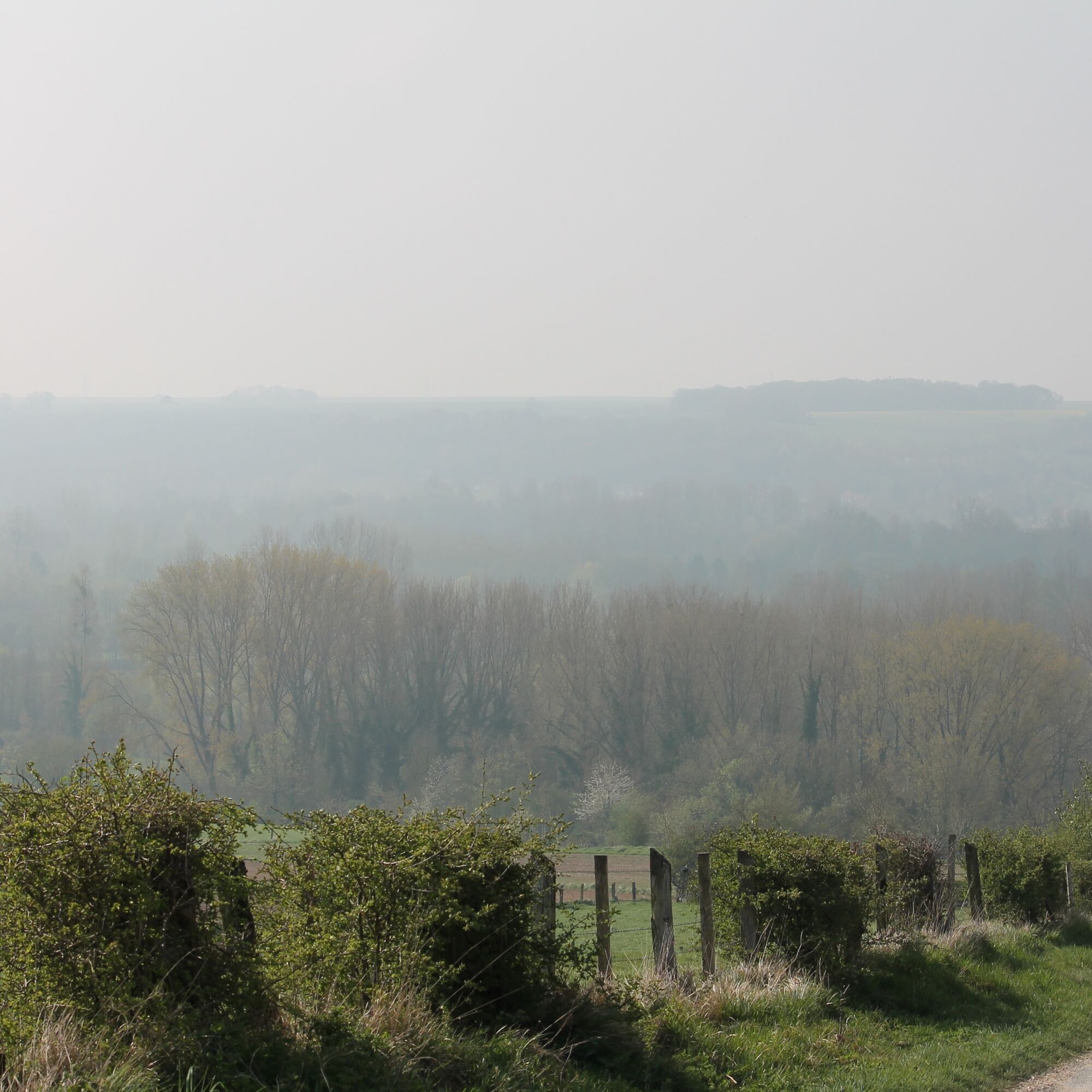
Follow the Somme and its ponds, ascend towards the fields and woods, and continue to Pont-Rémy, aptly named with all its bridges. Follow the towpath up to the bridge. Cross it and continue until the bridge at Cocquerel. Near this path, once used to tow boats and barges, the ponds nestle in the greenery. A marker indicates that the Somme originates at Saint-Simon (129 km). At the small wood, make a detour and follow along the woods. Descend through the Francières valley. Continue into Cocquerel, and its 16th-century stone Saint-Martin church with a crenellated bell tower, and a wooden cross. Pass through the hamlet of Longuet with its 19th-century castle and its 18th-century Saint-Julien chapel-church with an openwork bell tower. At the village exit, after the rest area, take the path ascending towards Francières. Before leaving the Pont-Rémois, a look at the lock is recommended.
Starting point 1.3 km from Pont-Rémy station.
Starting point 1.3 km from Pont-Rémy station.
Pot
Pot
The highs of Pont-Rémy
svetloba
Pohodništvo
9.48
km

Dodatne informacije in nasveti
Dodatne informacije
Še ni pregledov
Priljubljeni izleti v okolici
-
The ponds and marshes of Mareuil-Caubert
svetlobaPohodništvo 3.75 km -
Vimeu to Airaines greenway
svetlobaPohodništvo 21.0 km -
Walk at the Cavins marsh
svetlobaPohodništvo 3.13 km -
The Voyeuls route
svetlobaPohodništvo 4.45 km -
The Gard Abbey
svetlobaPohodništvo 16.6 km -
The Abbevillois route
svetlobaCestno kolo 50.9 km -
The Tuf Crosses: Sorel-en-Vimeu - Ercourt
svetlobaCestno kolo 54.7 km -
Circuit des Prés volés
svetlobaPohodništvo 8.90 km -
The Heights of Long
svetlobaPohodništvo 9.50 km -
The Marsh of Bouvaque
svetlobaPohodništvo 2.13 km
Pohodništvo in sledenje

Zaradi več kot 550.000 predlogov izletov, podrobnih zemljevidov in intuitivnega načrtovanja poti je aplikacija obvezna oprema za vse ljubitelje narave.

Ne zamudite ponudb in navdiha za naslednje počitnice
Naročite se na novice
Napaka
Zgodila se je napaka. Prosimo, poskusite znova.
Zahvaljujemo se vam za prijavo
Vaš e-poštni naslov je bil dodan na poštni seznam.
Izleti po vsej Evropi
Avstrija
Švica
Nemčija
Italija
Slovenija
Francija
Nizozemska
Belgija
Poljska
Lihtenštajn
Češka
Slovaška
Španija
Chorvátsko
Bosna in Hercegovina
Luksemburg
Andora
පෘතුගාලය
අයිස්ලන්තය
එක්සත් රාජධානිය
අයර්ලන්තය
ග්රීසිය
ඇල්බේනියාව
North Macedonia
Malta
Norway
Montenegro
Moldova
කොසෝවො
හන්ගේරියානු සමුහාණ්ඩුව
San Marino
රුමේනියාව
එස්ටෝනියා
ලැට්වියාව
බෙලාරස්
සයිප්රස්
Lithuania
Serbia
බල්ගේරියාව
Monaco
ඩෙන්මාර්කය
Sweden
ෆින්ලන්තය