







Sta. Maria Posta - Hof Terza - Fuldera Furom

Stopnja težavnosti: 2
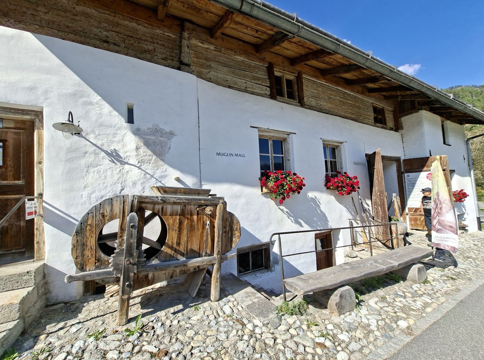
Beautiful and scenic hike from Sta. Maria to Hof Terza (can also be shortened by turning at the junction) with magnificent panorama. From Hof Terza, the hike continues past Craistas and Valpaschun to the...
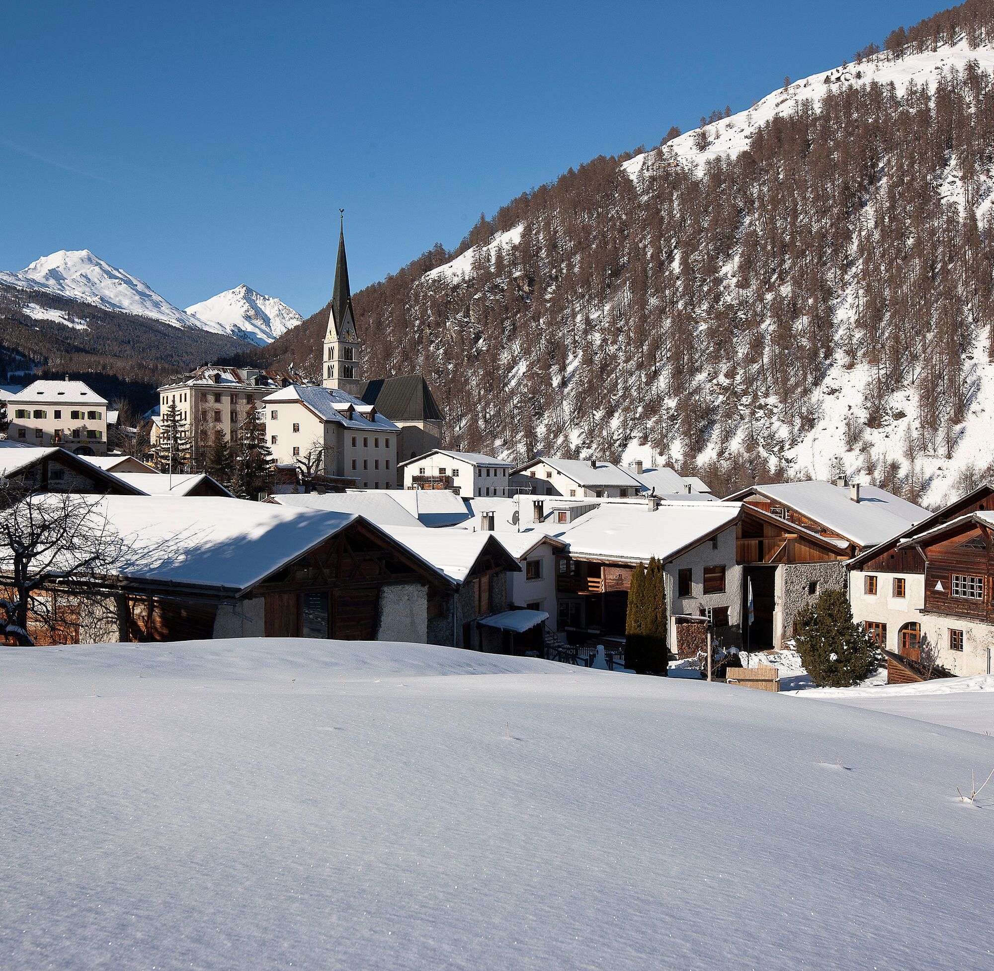
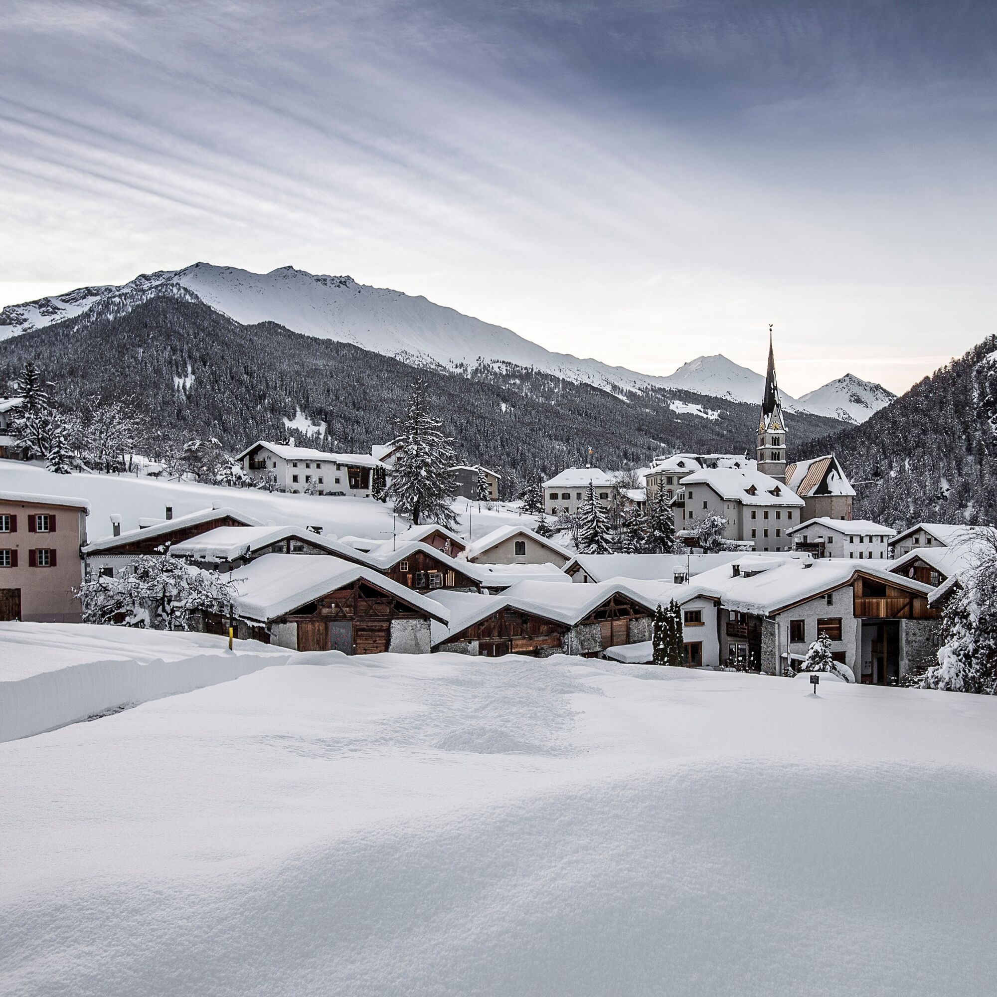
Beautiful and scenic hike from Sta. Maria to Hof Terza (can also be shortened by turning at the junction) with magnificent panorama. From Hof Terza, the hike continues past Craistas and Valpaschun to the cross-country ski center in Furom near Fuldera.


High and sturdy hiking boots or winter boots, warm clothing, sun protection, hiking poles, as needed.
The path is prepared after every snowfall. Please observe the condition reports in the winter sports report. The route has been rated under favorable weather conditions; current snow and weather conditions must be considered before starting.
Attention: The path partly runs along cross-country ski trails – please walk at the edge of the trails.
Emergency numbers:
144 Emergency, first aid
1414 Mountain rescue REGA
112 International emergency number
From the north: via Landquart – Klosters by car shuttle through the Vereina tunnel (Selfranga - Sagliains) or via the Flüela Pass to Zernez on H27. From Zernez on H28 into the Val Müstair to Sta. Maria.
From south and east: via Reschen Pass (Nauders) or Bolzano on SS40 to Mals. From Mals on SS41 to the Swiss border at Müstair. From Müstair on H28 to Sta. Maria.
By the Rhaetian Railway (from Chur, Landquart/Prättigau or Upper Engadin) hourly to Zernez
By the PostBus from Zernez to Sta. Maria
Free parking opposite the village church in Sta. Maria
2
Spletne kamere s turneje

Priljubljeni izleti v okolici
-
5.0
Mountain restaurant Plantaptasch (without Lift)
srednjaPohodništvo 3.42 km -
3.7
Payerhütte 3020m
Pohodništvo 6.98 km -
4.4
Sonnenaufgang auf der Rötelspitze im Nationalpark Stilfserjoch
Pohodništvo 2.02 km -
5.0
Wanderung/Aufstieg zur Payerhütte
svetlobaPohodništvo 15.9 km -
5.0
Ortler über Meraner Weg (vom Tal/Trafoi)
težkoVisokogorska tura 11.9 km -
3.6
Easy hiking rout to the top of the Watles Moutain (2.550 m)
srednjaPohodništvo 2.35 km -
4.5
Rundwanderweg Wattles und Sesvenna
svetlobaPohodništvo 16.4 km -
5.0
Edelweißsteig- Leitenwool- Muntaschinig- Gongelegg - Schluderns
svetlobaPohodništvo 14.0 km -
3.5
Watervallen wandeling
svetlobaPohodništvo 4.95 km -
3.4
Sta.Maria, Prà da Vau - Lai da Rims - Alp Sot - Prà da Vau
težkoPohodništvo 14.7 km
Pohodništvo in sledenje


Ne zamudite ponudb in navdiha za naslednje počitnice
Vaš e-poštni naslov je bil dodan na poštni seznam.





