


Susch – La Fuorcha – Zernez
Stopnja težavnosti: 1
From Susch train station the path leads to the western end of the village. Over the covered wooden bridge you reach the other side of the Inn, where the hiking trail begins. The path always follows the...
From Susch train station the path leads to the western end of the village. Over the covered wooden bridge you reach the other side of the Inn, where the hiking trail begins. The path always follows the Inn upstream onto the spacious plains in the valley floor. Where the valley becomes narrower and the Engadine road, the Inn, the ski trail, and the winter hiking path share space, continue on to Zernez. There, walk through the village along to the train station.


From Susch train station to the west
At the end of the village, cross the Inn via the wooden bridge
Follow the path upstream to Zernez
Through the village to the train station
Da
High and sturdy hiking boots or winter boots, warm clothing, sunscreen, sunglasses, sun protection, hiking poles
The path is groomed after every snowfall. Please observe the condition reports in the winter sports report. The route was rated under favorable weather conditions; the current snow and weather conditions must be checked before starting.
Attention: The path leads through wildlife protection zones; please do not leave the forest paths.
Attention: The path partly runs on cross-country ski trails – please walk at the trail edges.
Emergency numbers:
144 Emergency call, first aid
1414 Mountain rescue REGA
112 International emergency call
From the north: via Landquart – Klosters by car shuttle through the Vereina tunnel (Selfranga - Sagliains) or via the Flüela Pass into the Lower Engadine on H27
From the east: via Landeck / Austria towards St. Moritz on H27
From the south: via Reschen Pass (Nauders-Martina) or Ofen Pass (Val Müstair-Zernez) on H27
Susch lies directly at the Flüela Pass and on the Engadine road H27 (5 minutes driving time from the Vereina south portal)
By Rhaetian Railway (from Chur, Landquart/Prättigau, from Upper Engadine or from Scuol) hourly to Susch train station.
Paid parking at Susch train station
1
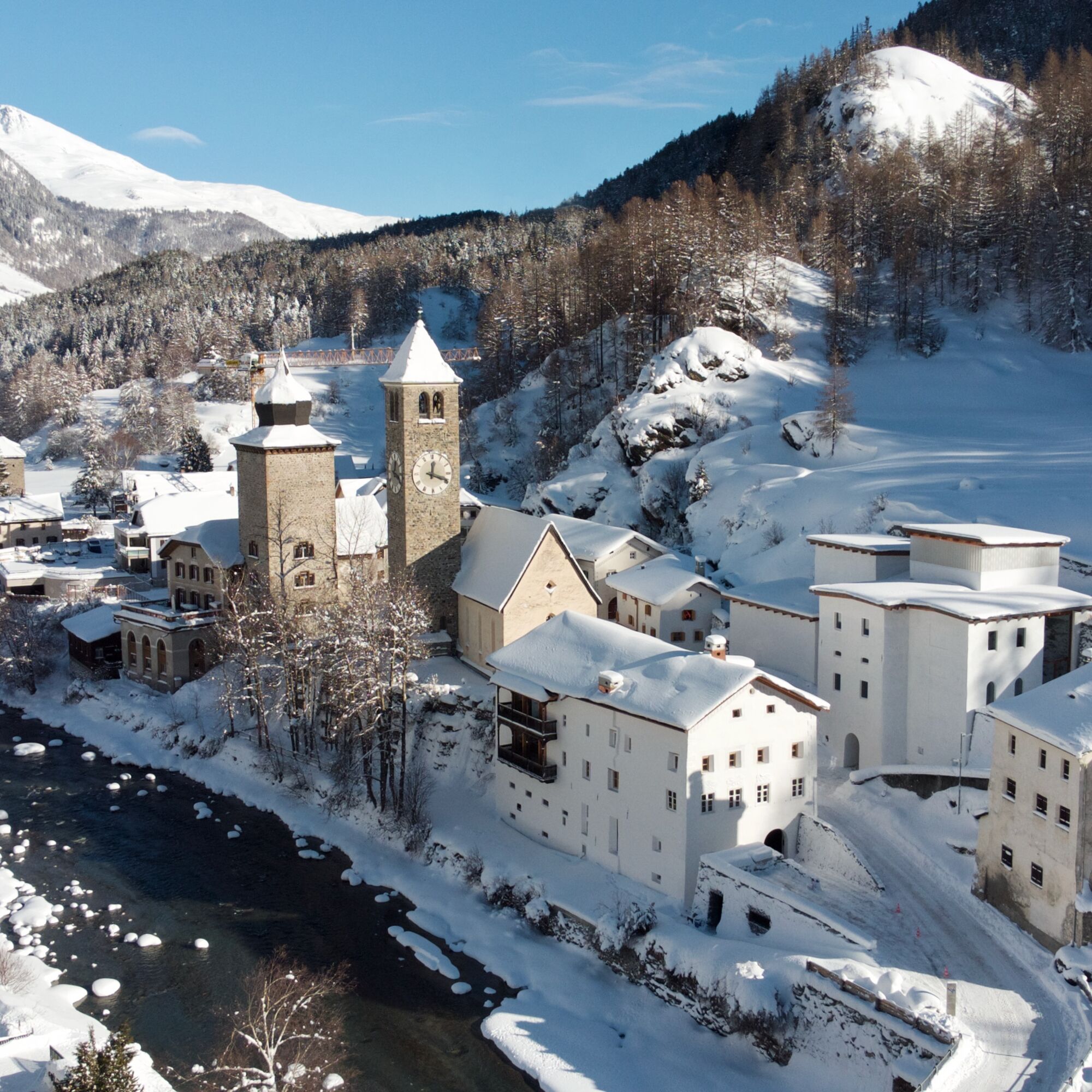
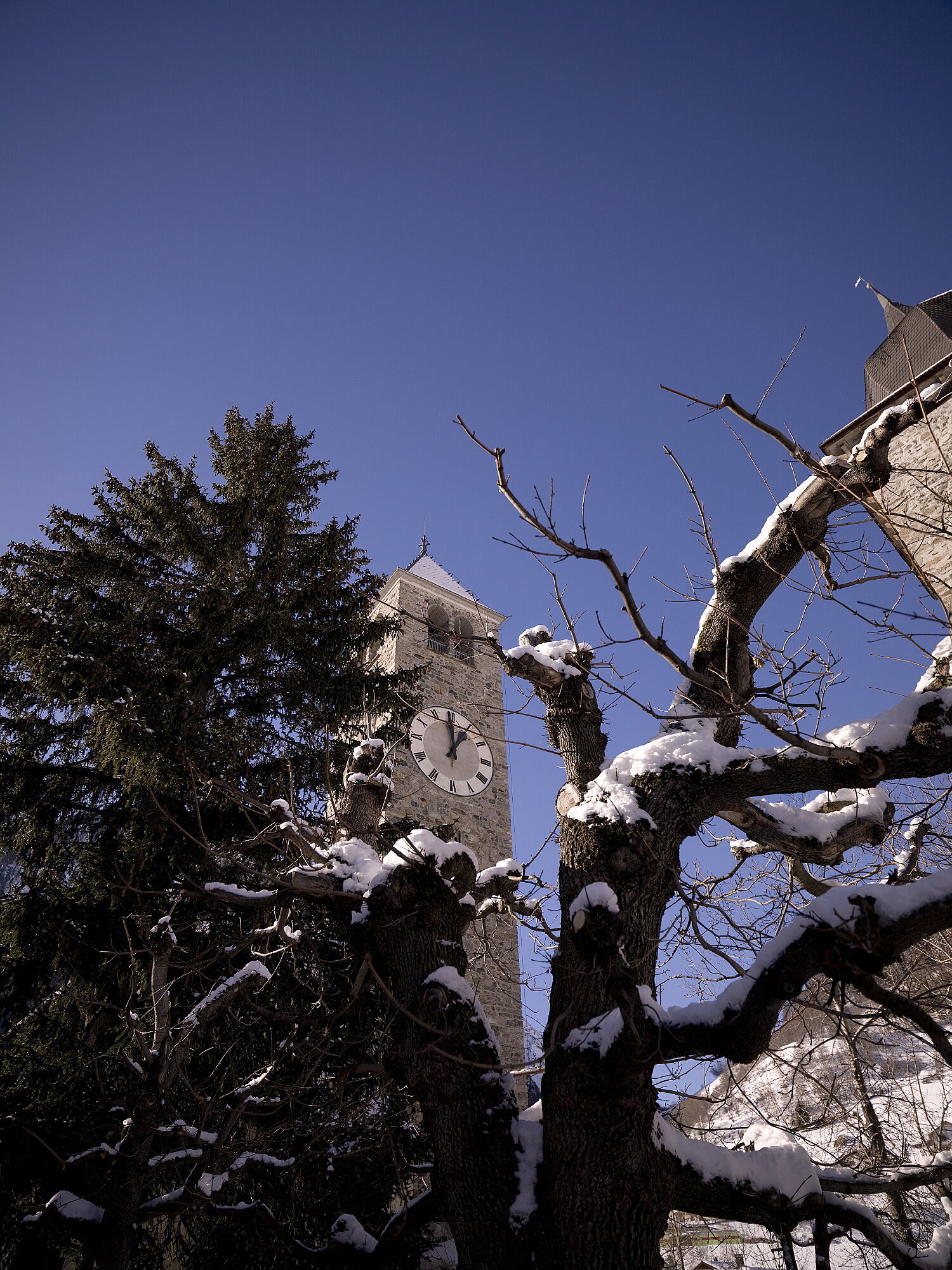
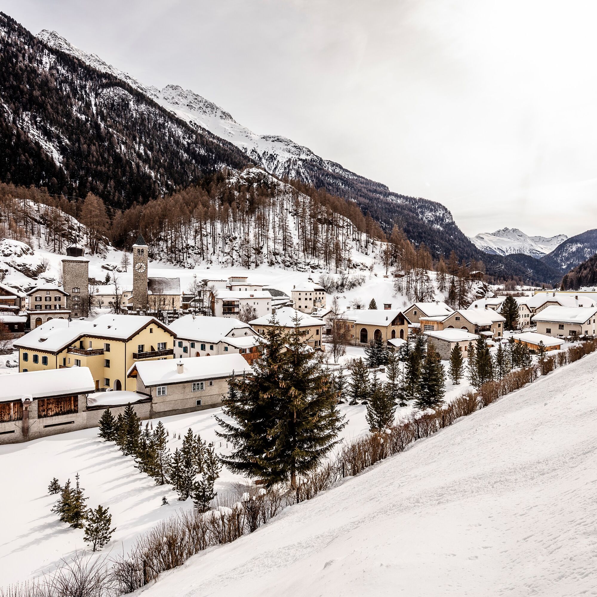
The tower «La Tuor» and the fortress «Rohan» shape the village image of Susch. It is the only place in the Lower Engadine where the Inn flows right through the village.
Spletne kamere s turneje
Priljubljeni izleti v okolici
-
4.9
Jöriseen
srednjaPohodništvo 11.3 km -
4.8
Circular hike Val Trupchun in the Swiss National Park
srednjaPohodništvo 13.8 km -
4.0
National Park: Margunet
svetlobaPohodništvo 7.76 km -
5.0
Fluela Schwarzhorn 3147 m
svetlobaVisokogorska tura 7.34 km -
National Park: Murtersattel
srednjaPohodništvo 7.66 km -
Guarda – Chamonna Tuoi – Furcletta – Alp Valmala – Ardez
srednjaPohodništvo 21.0 km -
Flüelapass – Schwarzhorn (return)
srednjaPohodništvo 7.92 km -
4.8
National Park: Grimmels (circular hike)
svetlobaPohodništvo 6 km -
4.0
Schellen-Ursli-Trail
srednjaTematska pot 3.53 km -
3.0
Flüela – Chamanna Grialetsch
srednjaPohodništvo 10.9 km

Pohodništvo in sledenje


Ne zamudite ponudb in navdiha za naslednje počitnice
Vaš e-poštni naslov je bil dodan na poštni seznam.