Navigacija po spletni strani
Pridobite to turo v svoj mobilni telefon
Zemljevid
Circular hike Lumbrein

srednja
Zimsko pohodništvo
10.41 km
Skenirajte kodo QR in začnite navigacijo v aplikaciji bergfex.
QR Code
Pohodništvo in sledenje

Circular hike Lumbrein

Razdalja
10.4 km
Trajanje
03:19 h
Ascent
472 hm
Morska gladina
1,359 - 1,737 m

Stopnja težavnosti: 2

Prenos skladbe
Zemljevid
Circular hike Lumbrein
srednja
Zimsko pohodništvo
10.41 km

The hike first leads up mostly on a snow-cleared road towards Planezzas. Here the actual winter hike begins. On the well-prepared winter hiking trail, it goes up to Curschellas. From Curschellas, the path...

Opis

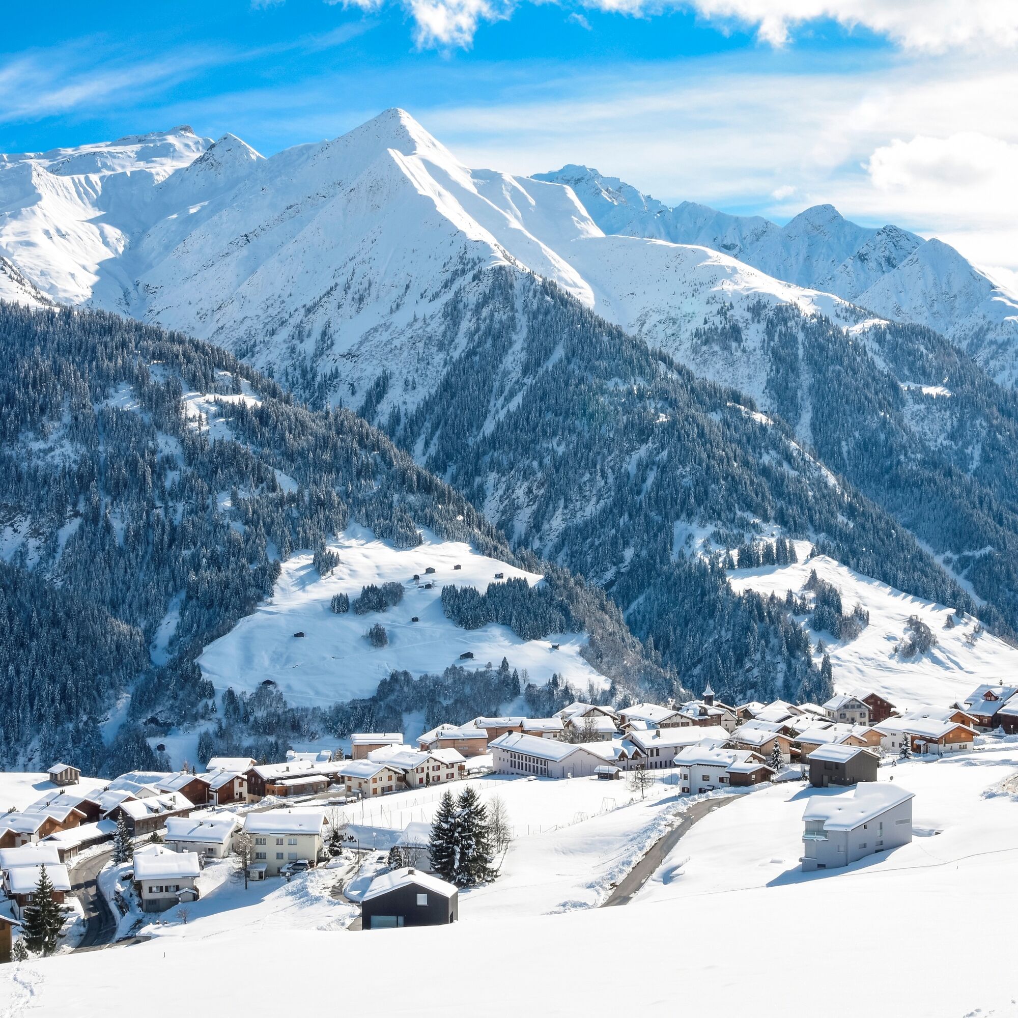
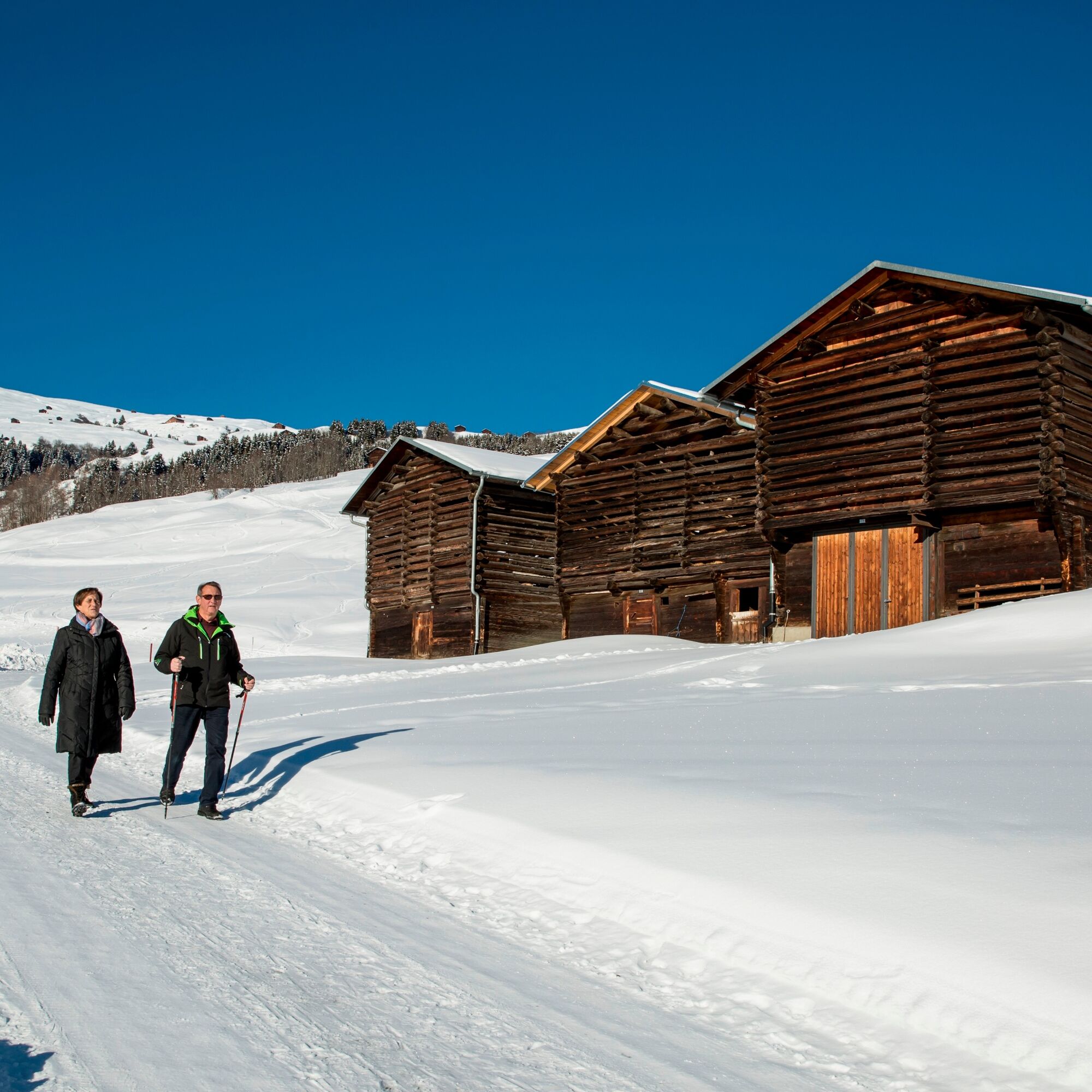
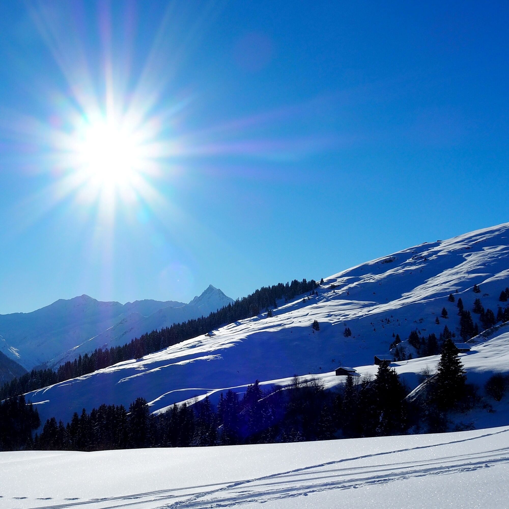
The hike first leads up mostly on a snow-cleared road towards Planezzas. Here the actual winter hike begins. On the well-prepared winter hiking trail, it goes up to Curschellas. From Curschellas, the path leads through the deeply snow-covered landscape over Rumassal down towards Vignogn. Above the village, the path turns right, steadily rising slightly, then goes back to Lumbrein.

See also
Surselva Tourismus AG
Info Lumnezia
Palius 32 D
CH-7144 Vella
Tel.: 0041 81 931 18 58
E-mail: vallumnezia@surselva.info
Internet: www.surselva.info

Pot
Chaplutta Nossadunna
(1,405 m)
Kraj čaščenja
0.0 km
Baselgia Son Martin
(1,413 m)
Kraj čaščenja
0.1 km
Dual
(1,417 m)
Soseska
0.2 km
Fuormas
(1,423 m)
Soseska
0.4 km
Baselgia Son Martin
(1,413 m)
Kraj čaščenja
10.2 km
Chaplutta Nossadunna
(1,405 m)
Kraj čaščenja
10.4 km
Pot
Zemljevid
Circular hike Lumbrein
srednja
Zimsko pohodništvo
10.41 km
Caplutta
(1,401 m)
Soseska
0.0 km
Colona
(1,391 m)
Soseska
0.0 km
Sut Gassa
(1,393 m)
Soseska
0.0 km
Crest da Gliz
(1,389 m)
Soseska
0.0 km
Chaplutta Nossadunna
(1,405 m)
Kraj čaščenja
0.0 km
Sut Vitsch
(1,395 m)
Soseska
0.0 km
Nossadunna
(1,404 m)
Soseska
0.0 km
Clavau Vintschegn
(1,390 m)
Soseska
0.0 km
Dado Baselgia
(1,408 m)
Soseska
0.0 km
Trancauna
(1,395 m)
Soseska
0.1 km
Sut Baselgia
(1,401 m)
Soseska
0.1 km
Maus
(1,400 m)
Soseska
0.1 km
Fontauna
(1,408 m)
Soseska
0.1 km
Baselgia
(1,409 m)
Koridor/teren
0.1 km
Baselgia Son Martin
(1,413 m)
Kraj čaščenja
0.1 km
Sassegl
(1,412 m)
Soseska
0.1 km
Fuorn
(1,410 m)
Soseska
0.1 km
Buortga
(1,415 m)
Soseska
0.1 km
Sur Baselgia
(1,415 m)
Soseska
0.2 km
Curtgin Grond
(1,418 m)
Soseska
0.2 km
Dual
(1,417 m)
Soseska
0.2 km
Sum Vitg
(1,428 m)
Soseska
0.2 km
Vigela
(1,419 m)
Soseska
0.2 km
Plaun
(1,430 m)
Soseska
0.3 km
Las Fueinas
(1,428 m)
Soseska
0.3 km
Caltgera
(1,443 m)
Koridor/teren
0.4 km
Lumbrein
(1,405 m)
Vas
0.4 km
Fuormas
(1,423 m)
Soseska
0.4 km
La Ruosna
(1,406 m)
Soseska
0.4 km
Schlareins
(1,695 m)
Koridor/teren
2.8 km
Fuormas
(1,423 m)
Soseska
9.9 km
La Ruosna
(1,406 m)
Soseska
9.9 km
Lumbrein
(1,405 m)
Vas
10.0 km
Caltgera
(1,443 m)
Koridor/teren
10.0 km
Sur Baselgia
(1,415 m)
Soseska
10.0 km
Las Fueinas
(1,428 m)
Soseska
10.1 km
Plaun
(1,430 m)
Soseska
10.1 km
Sum Vitg
(1,428 m)
Soseska
10.1 km
Vigela
(1,419 m)
Soseska
10.2 km
Curtgin Grond
(1,418 m)
Soseska
10.2 km
Dual
(1,417 m)
Soseska
10.2 km
Sassegl
(1,412 m)
Soseska
10.2 km
Buortga
(1,415 m)
Soseska
10.2 km
Baselgia Son Martin
(1,413 m)
Kraj čaščenja
10.2 km
Baselgia
(1,409 m)
Koridor/teren
10.2 km
Fontauna
(1,408 m)
Soseska
10.2 km
Fuorn
(1,410 m)
Soseska
10.2 km
Maus
(1,400 m)
Soseska
10.3 km
Sut Baselgia
(1,401 m)
Soseska
10.3 km
Trancauna
(1,395 m)
Soseska
10.3 km
Dado Baselgia
(1,408 m)
Soseska
10.3 km
Caplutta
(1,401 m)
Soseska
10.4 km
Clavau Vintschegn
(1,390 m)
Soseska
10.4 km
Sut Vitsch
(1,395 m)
Soseska
10.4 km
Crest da Gliz
(1,389 m)
Soseska
10.4 km
Colona
(1,391 m)
Soseska
10.4 km
Chaplutta Nossadunna
(1,405 m)
Kraj čaščenja
10.4 km
Sut Gassa
(1,393 m)
Soseska
10.4 km
Nossadunna
(1,404 m)
Soseska
10.4 km
Informacije o turneji

Beautiful circular hike through the Maiensäss landscape of Lumbrein and Vignogn.

Tehnologija
2 / 6
Stanje
3 / 6
Pokrajina
4 / 6
Izkušnje
3 / 6
Najboljši letni čas
Jan
Feb
Mar
Apr
Maj
Jun
Jul
Avg
Sep
Okt
Nov
Dec
Skupna turneja
Zemljevid
Circular hike Lumbrein
srednja
Zimsko pohodništvo
10.41 km
Napaka
Zgodila se je napaka. Prosimo, poskusite znova.
Informacije o poti
Pot

Lumbrein - Curschellas - Rumassal - Pastais – Lumbrein

Oprema

High and sturdy hiking boots or winter boots, warm clothing, sun protection, hiking poles recommended.

Varnostna navodila

The route should be avoided in uncertain weather conditions. Weather changes in the mountains are frequent. If a bad weather front or similar arises during the hike, you should turn back in time. We also advise against hiking in dense fog. 

Informacije o prihodu
Prihod

Via Chur A3/A13 via Flims to Ilanz in the Val Lumnezia.

Javni prevoz

PostBus line 90.441 Ilanz - Vrin, stop Lumbrein

During the winter season, the PostBus on the Ilanz – Vrin line as well as on other lines throughout the entire municipality of Lumnezia can be used free of charge by everyone.

Parkirišče

Limited parking options in Lumbrein. We generally recommend arriving by public transport.

During the winter season, the PostBus on the Ilanz – Vrin line as well as on other lines throughout the entire municipality of Lumnezia can be used free of charge by everyone.

Dodatne informacije in nasveti
Stopnja težavnosti

2

Nasveti

Bring a sled. Some sections are very nice for sledding. 

Pohodništvo in sledenje

Pohodništvo in sledenje

Pohodništvo in sledenje
Zaradi več kot 550.000 predlogov izletov, podrobnih zemljevidov in intuitivnega načrtovanja poti je aplikacija obvezna oprema za vse ljubitelje narave.
bergfex