







23 Falera - Ladir - Falera
Stopnja težavnosti: 3
Winter on the Camino de Santiago: On this beautiful hike, you go high above the valley from one mountain village to the next – from Falera to Ladir – and back the same way. After the first half, you can...
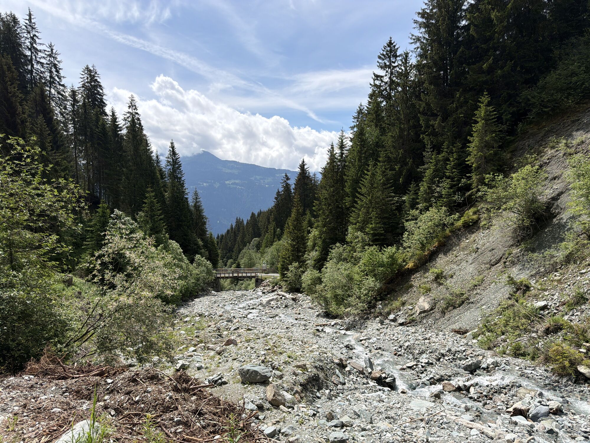
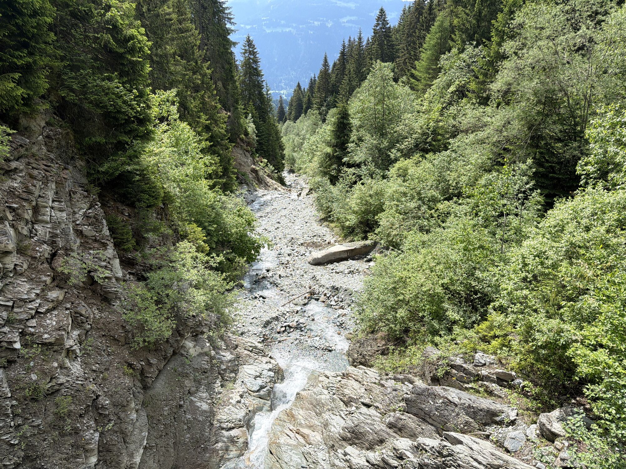
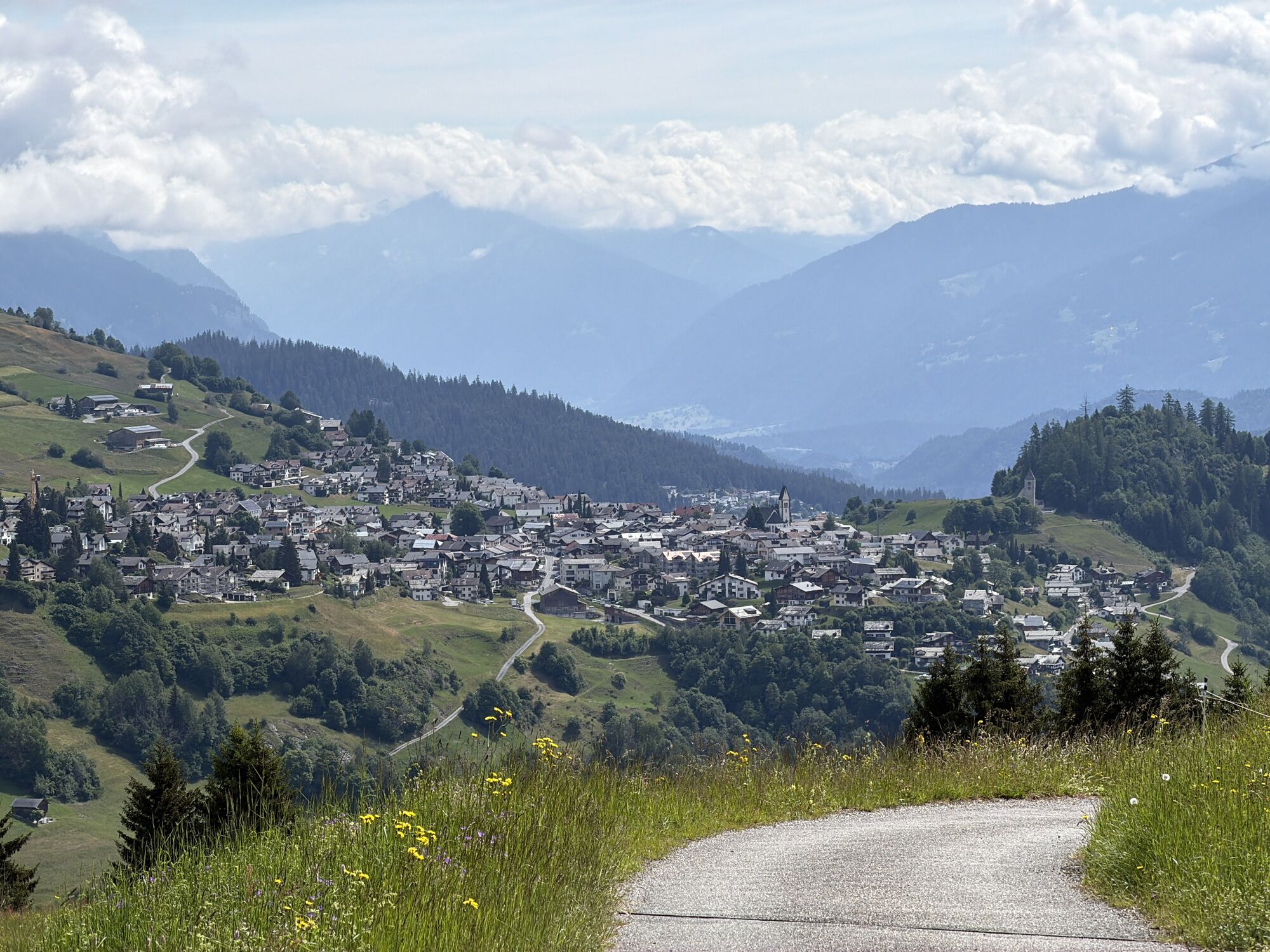
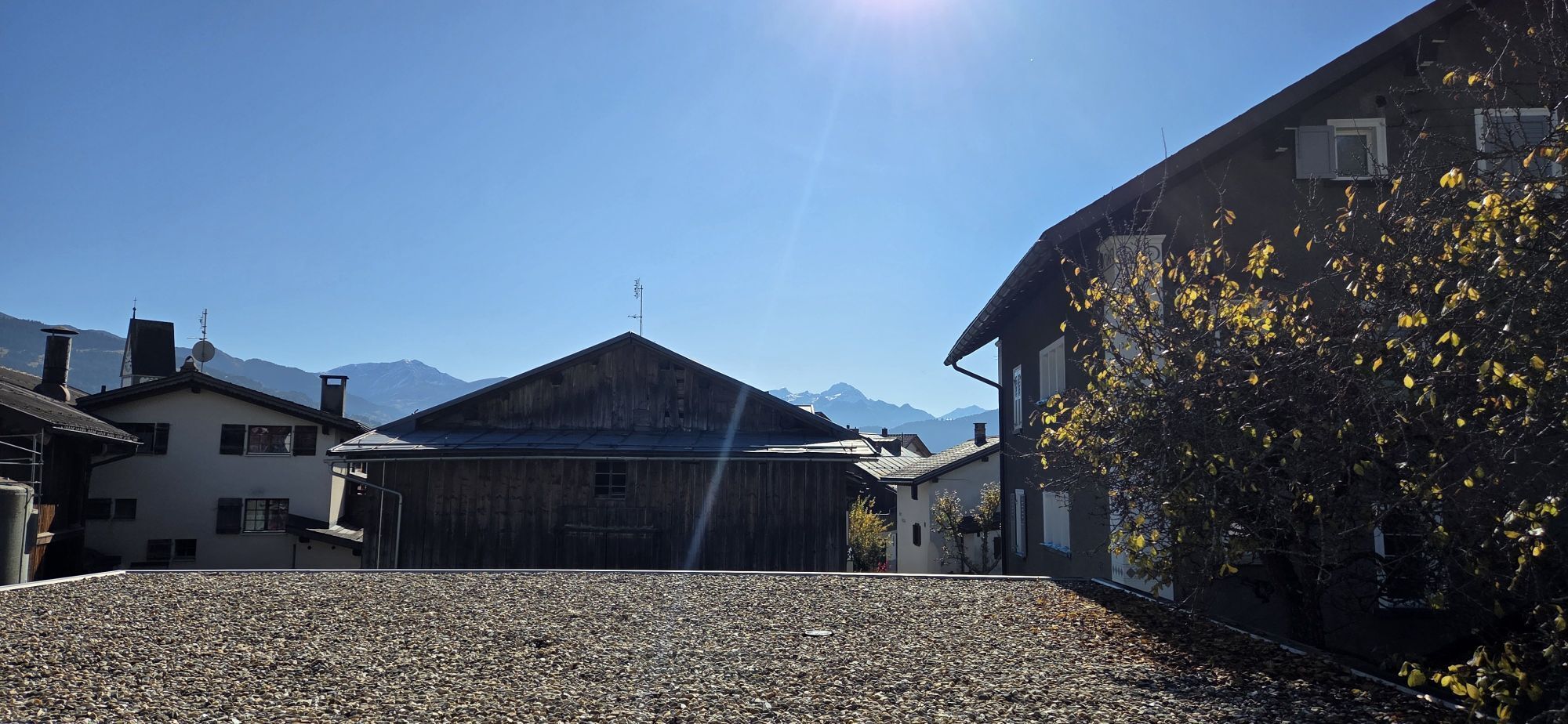
Winter on the Camino de Santiago: On this beautiful hike, you go high above the valley from one mountain village to the next – from Falera to Ladir – and back the same way. After the first half, you can stop in Ladir and warm up inside with delicious Grisons cuisine before setting off on the return journey.

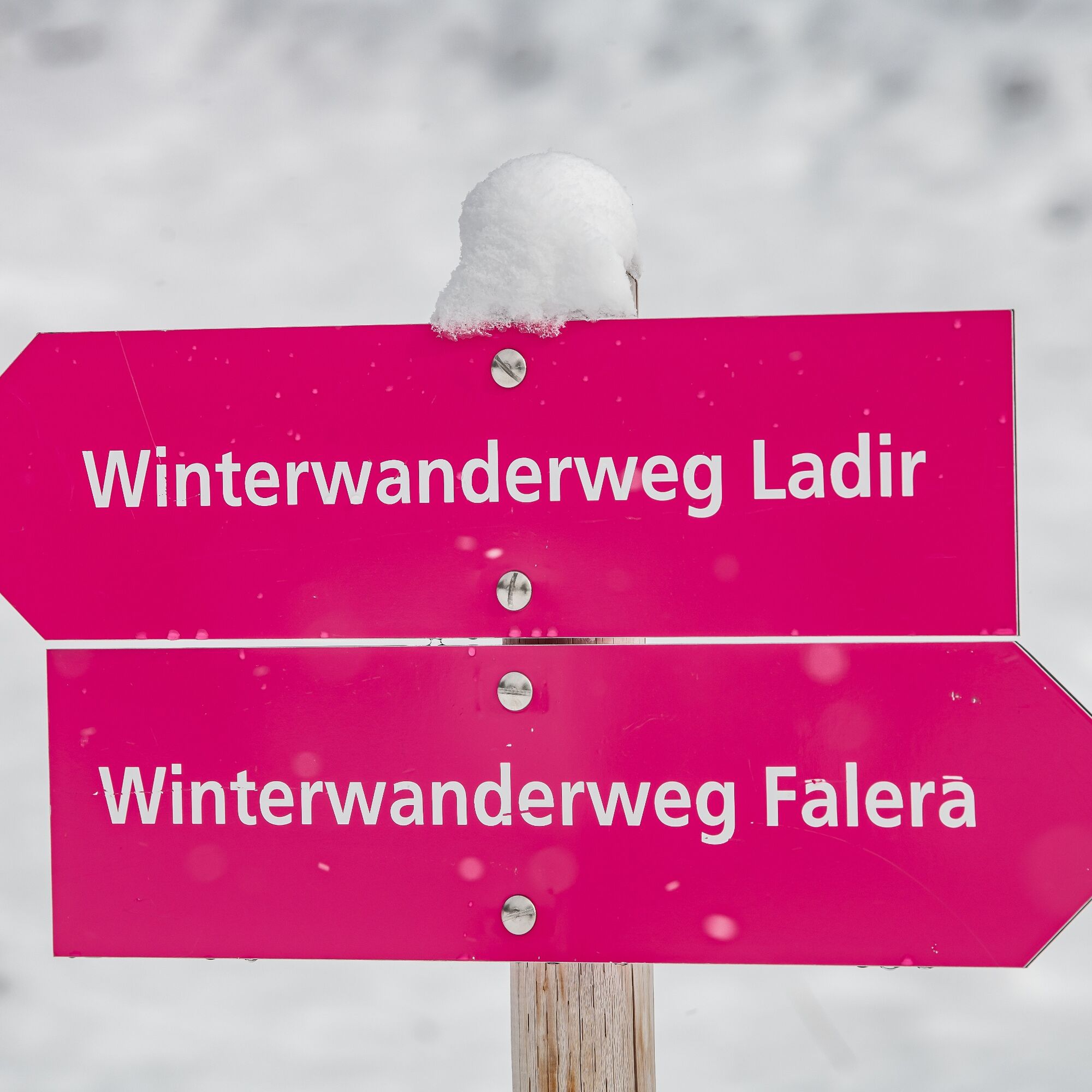
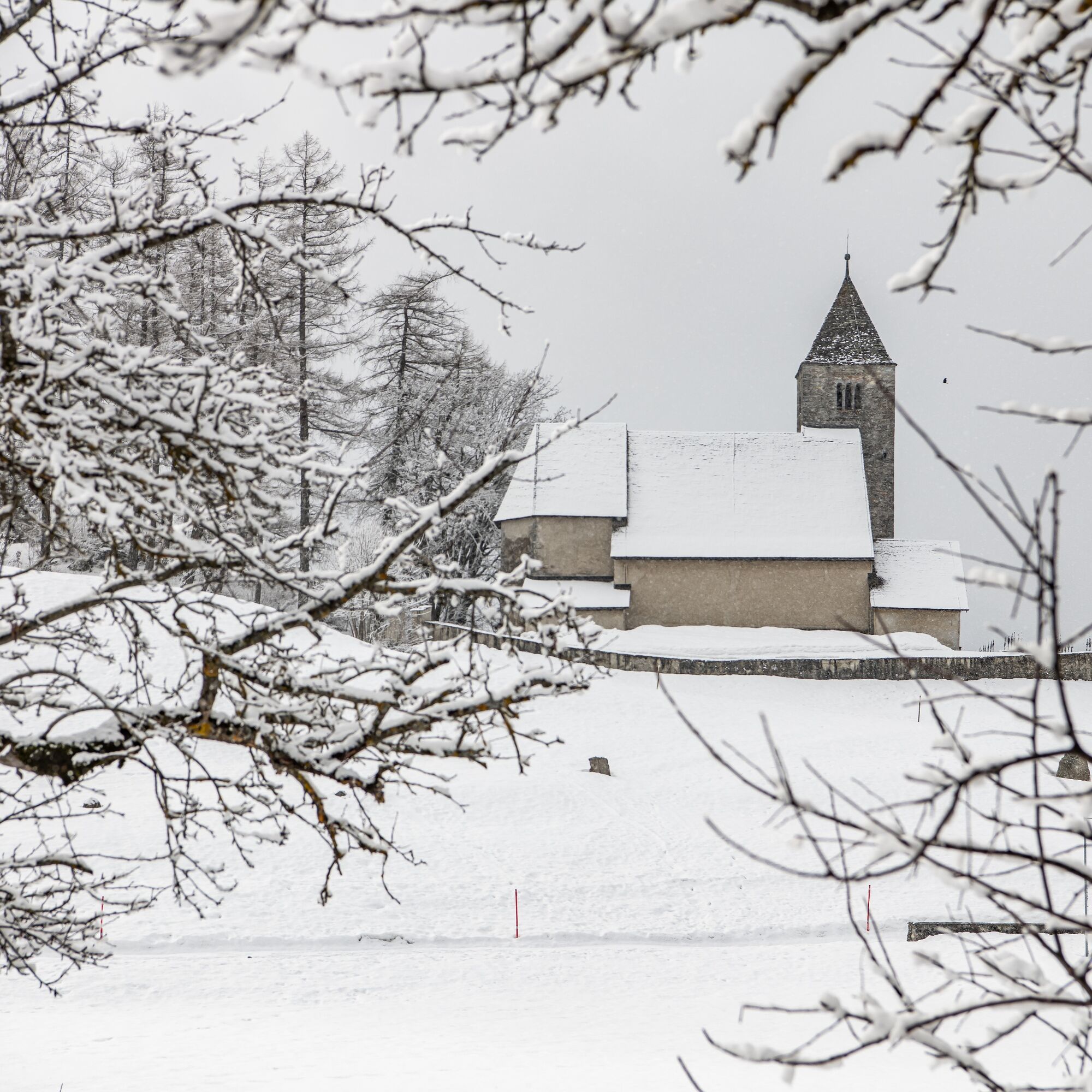
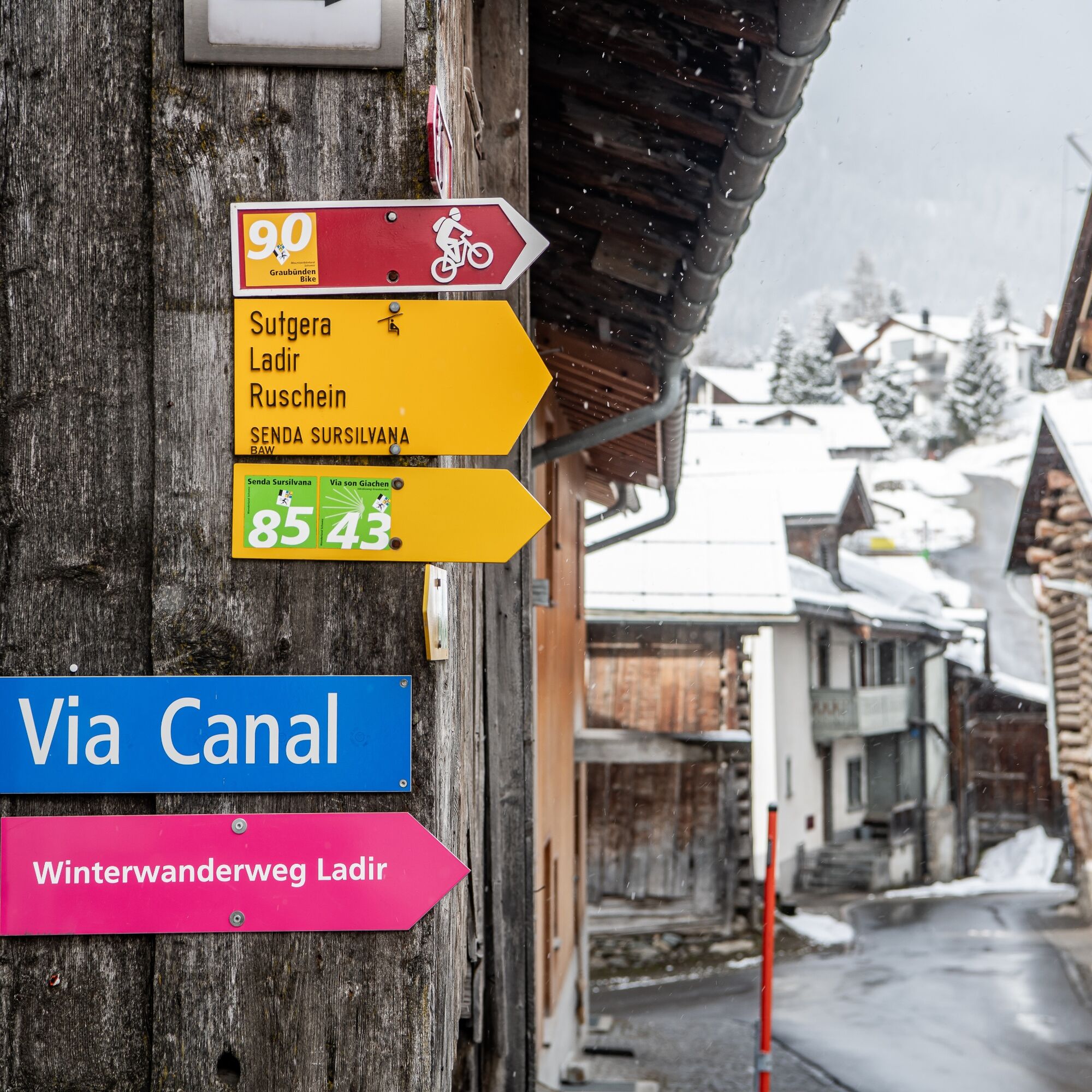
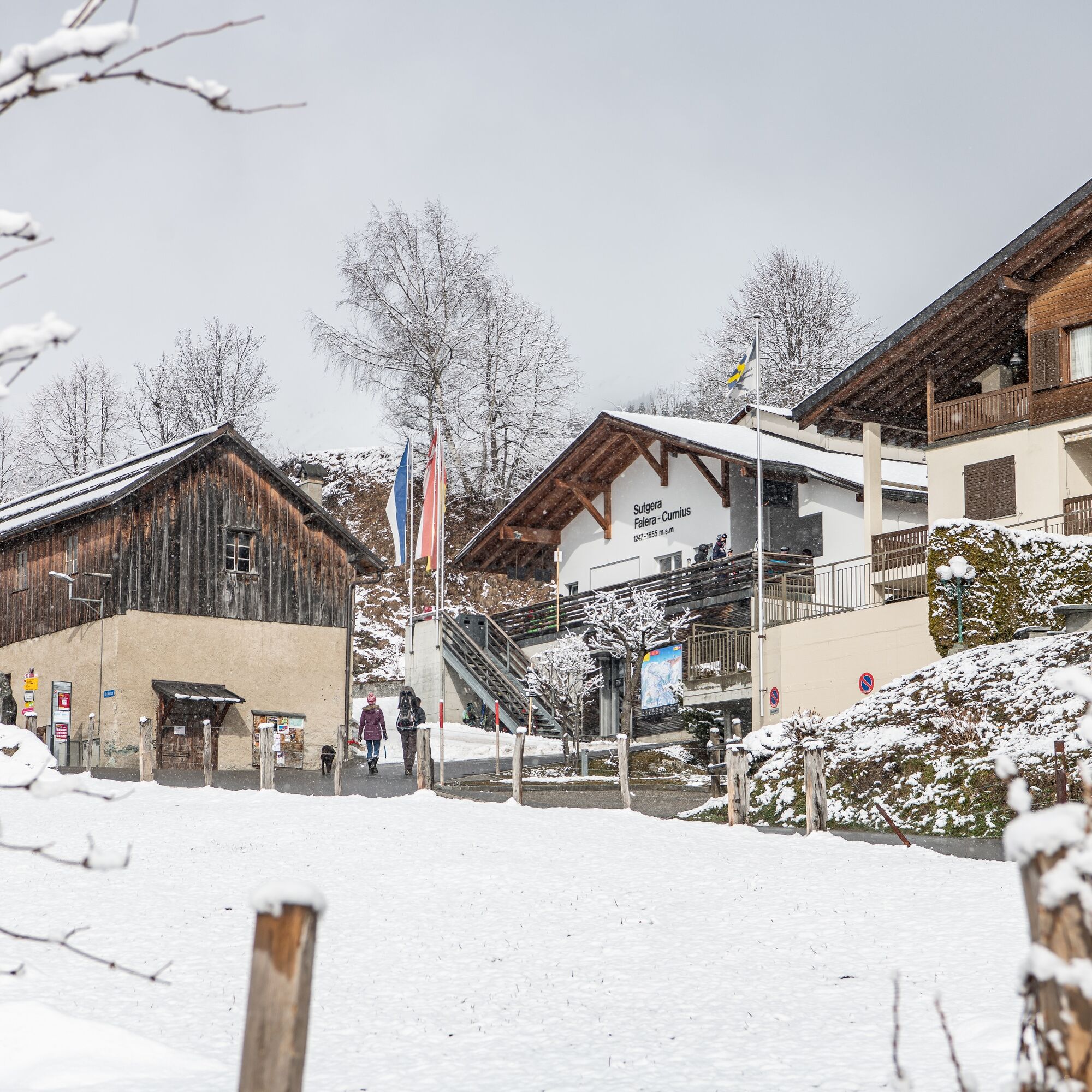
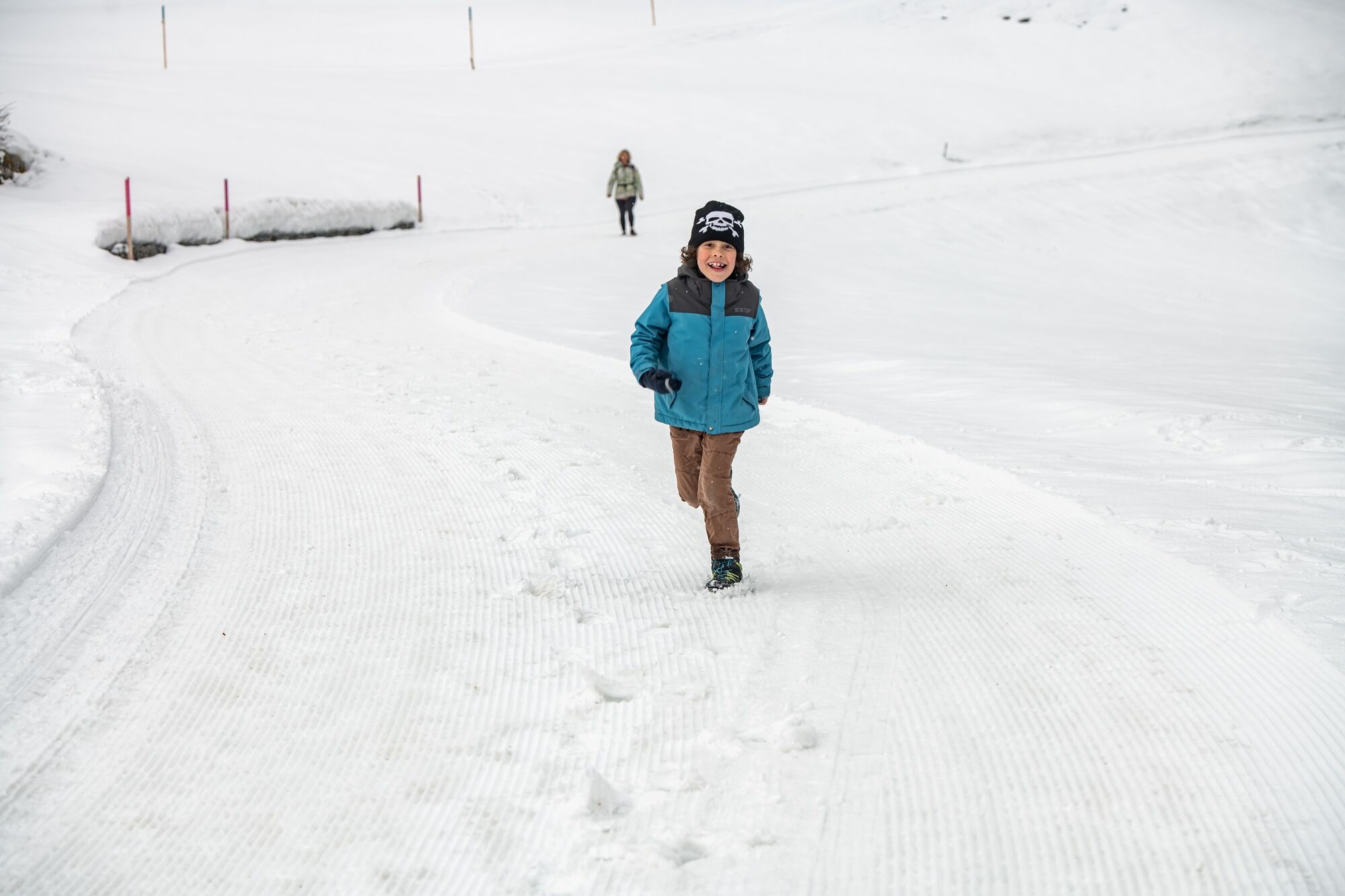
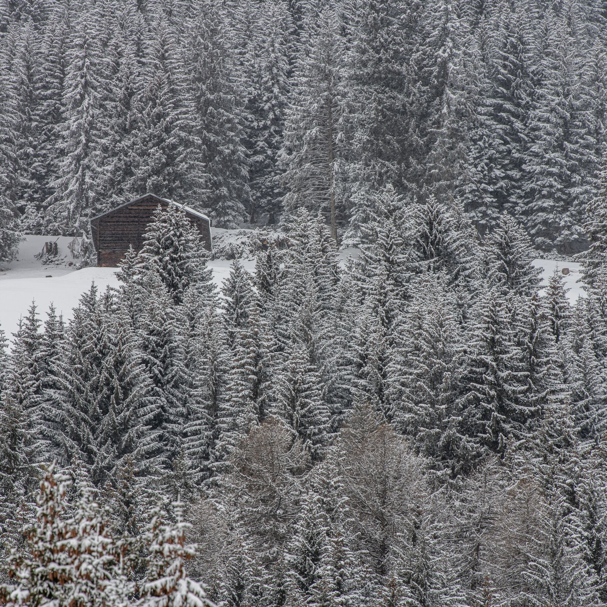
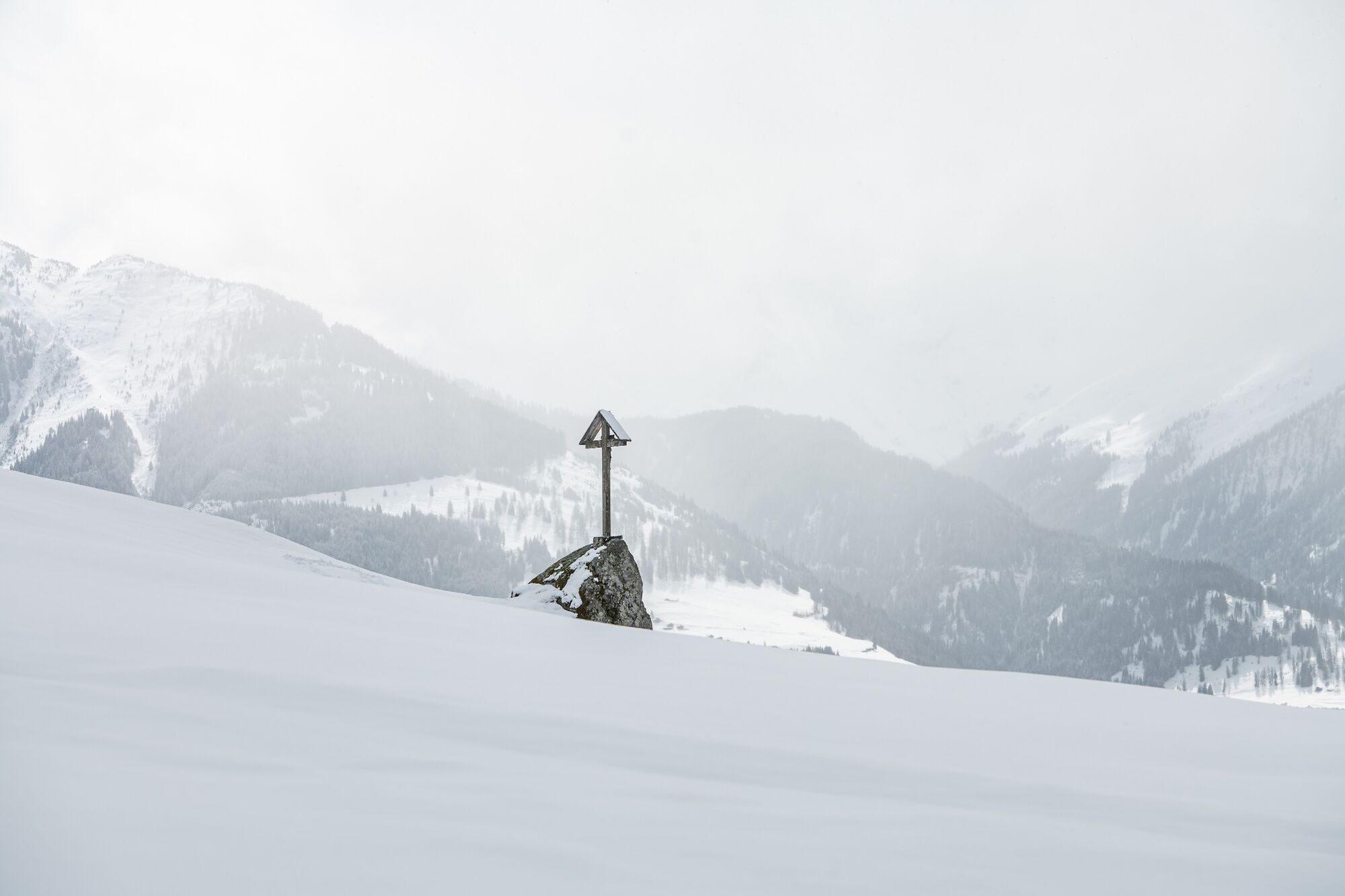
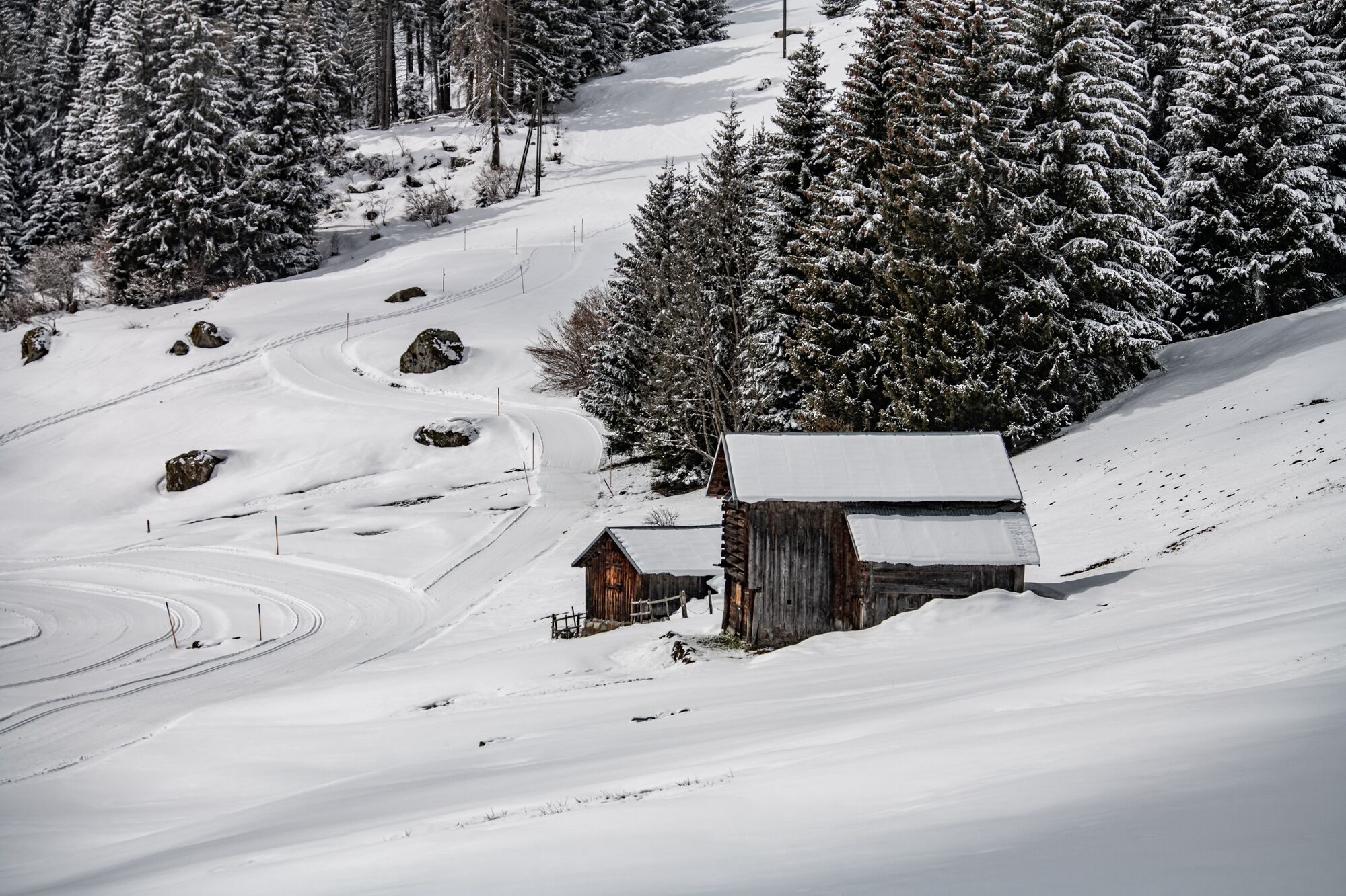

The hike starts at the car park at the village entrance. You pass through the village and then hike across slopes and past small huts up to the forest. The path through the snow-covered trees is simply magical. Here, the inclines are moderate. When you leave the forest again, you enjoy great views over Falera. Soon you will then hike down to Ladir, which has a special charm covered in winter snow.
Da
Da
Da
Winter shoes
You are only allowed to drive into Falera village and park in the private parking lot with the appropriate driving permit . For vehicles without a driving permit, there is a chargeable parking lot at the village entrance.
By car via motorway A13 from Zurich, exit 18 towards Flims.
Train to Chur, postbus to Laax, postbus or local bus from Laax to Falera, stop Falera Parcadi.
Subject to charges (coins required).
3
Guest information Flims Laax Falera
Via Nova 62
CH-7017 Flims
Tel: +41 (0)81 920 92 00
Email: info@flimslaax.com
Whether the route is open or closed can be found at the following link: Live info
In Ladir, the Lazy Mountain guesthouse with its sun terrace and Grisons cuisine invites you to enjoy and relax.
 Pridobite vpogled
Vedno v živo na mestu z več kot 9.500 spletnimi kamerami. bergfex Kot uporabnik Pro si lahko zdaj ogledate ustrezne spletne kamere za številne izlete v aplikaciji izleti iz. Tako si lahko neposredno ogledate trenutne razmere.
Pridobite vpogled
Vedno v živo na mestu z več kot 9.500 spletnimi kamerami. bergfex Kot uporabnik Pro si lahko zdaj ogledate ustrezne spletne kamere za številne izlete v aplikaciji izleti iz. Tako si lahko neposredno ogledate trenutne razmere.
Priljubljeni izleti v okolici
-
4.9
Rheinschlucht: From Ilanz to Versam into the heart of the Rheinschlucht
srednjaPohodništvo 11.4 km -
4.4
4-lake hike: Caumasee - Crestasee - Felsbach Gorge
srednjaPohodništvo 12.8 km -
4.8
Rhine Gorge Hike: Senda Ruinaulta (659)
svetlobaPohodništvo 9.39 km -
4.8
Mountain hike to the Strudeltöpfe on Alp Mora: Bargis-Trin
težkoPohodništvo 18 km -
5.0
High valley Val Frisal
težkoPohodništvo 12.4 km -
4.7
The Water Trail: Trutg dil Flem 764
težkoTematska pot 8.56 km -
5.0
Caumasee tour: Flims - Caumasee - Conn - Flims
svetlobaPohodništvo 7.94 km -
5.0
Lower Segnesboden: Nagens Sura - Lower Segnesboden - Segnes hut - Alp Nagens
srednjaPohodništvo 6.66 km -
4.3
Historic Pinut via ferrata
srednjaVia ferrata 5.82 km -
4.3
Circular hike: Falera-Curnius-Alp Dadens-Falera
srednjaPohodništvo 11.4 km
Pohodništvo in sledenje


Ne zamudite ponudb in navdiha za naslednje počitnice
Vaš e-poštni naslov je bil dodan na poštni seznam.





