






804 Muottas da Schlarigna

The starting point of this route is Pontresina railway station. It is also accessible by car (parking spaces available) and by public transport. To the left of the Pontresina station complex, the path...
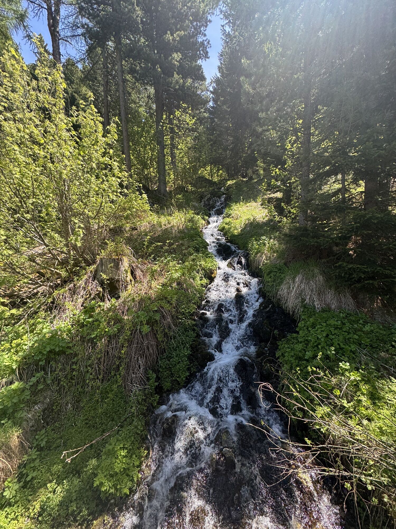
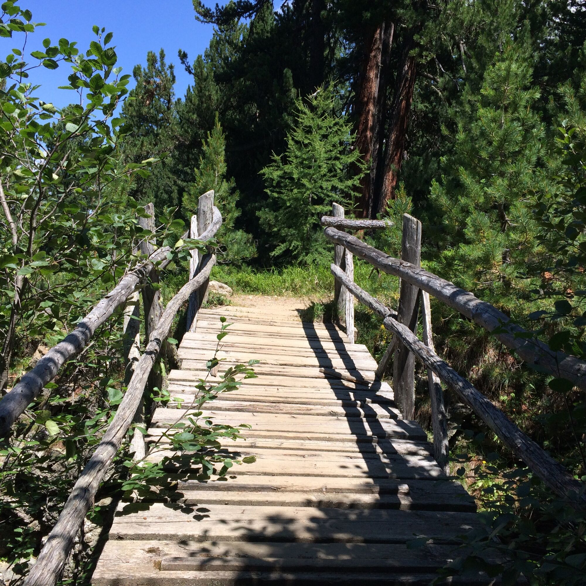
The starting point of this route is Pontresina railway station. It is also accessible by car (parking spaces available) and by public transport. To the left of the Pontresina station complex, the path ascends through a sparse forest mixed with Swiss stone pines and larches onto the Alp Staz plateau. Unexpectedly, a clearing opens up here, and often, wildlife can be observed.
From here, the path leads quite steeply upward through the old Swiss stone pine and larch forest to Muottas da Schlarigna (2305m).
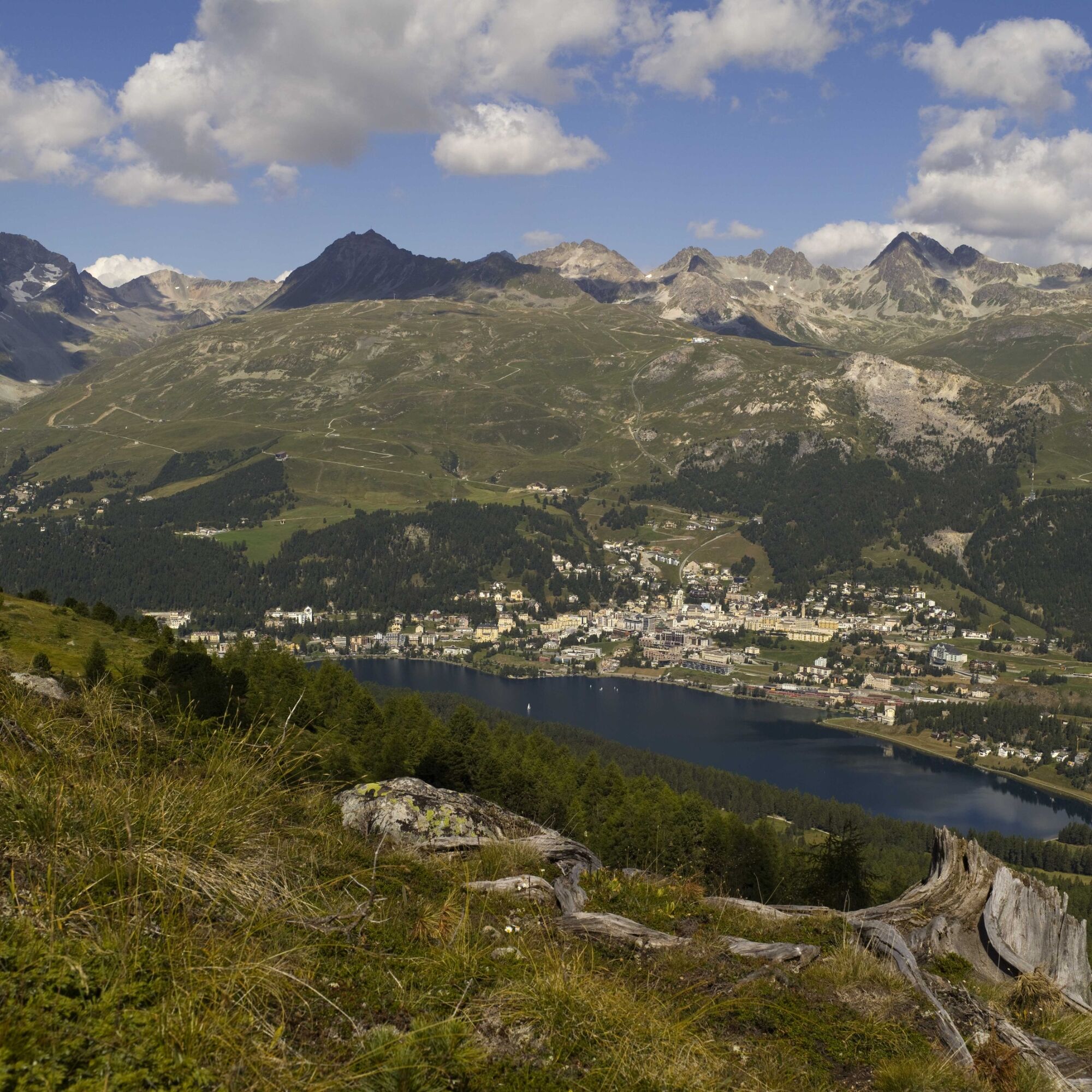
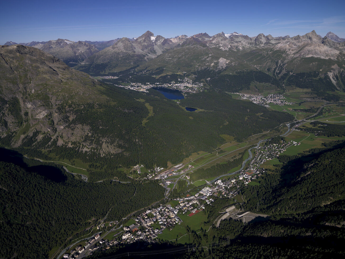
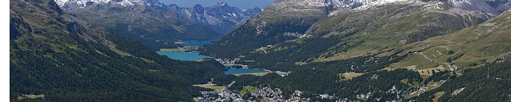
A magnificent panoramic view of the elongated Pontresina with its traditional hotel buildings compensates for the effort of the climb. This spot also offers a clear view of the avalanche protection dam built above Pontresina in 2003. It's interesting to observe the individual dams and retention basins from above. The construction provides protection against avalanches and debris flows.
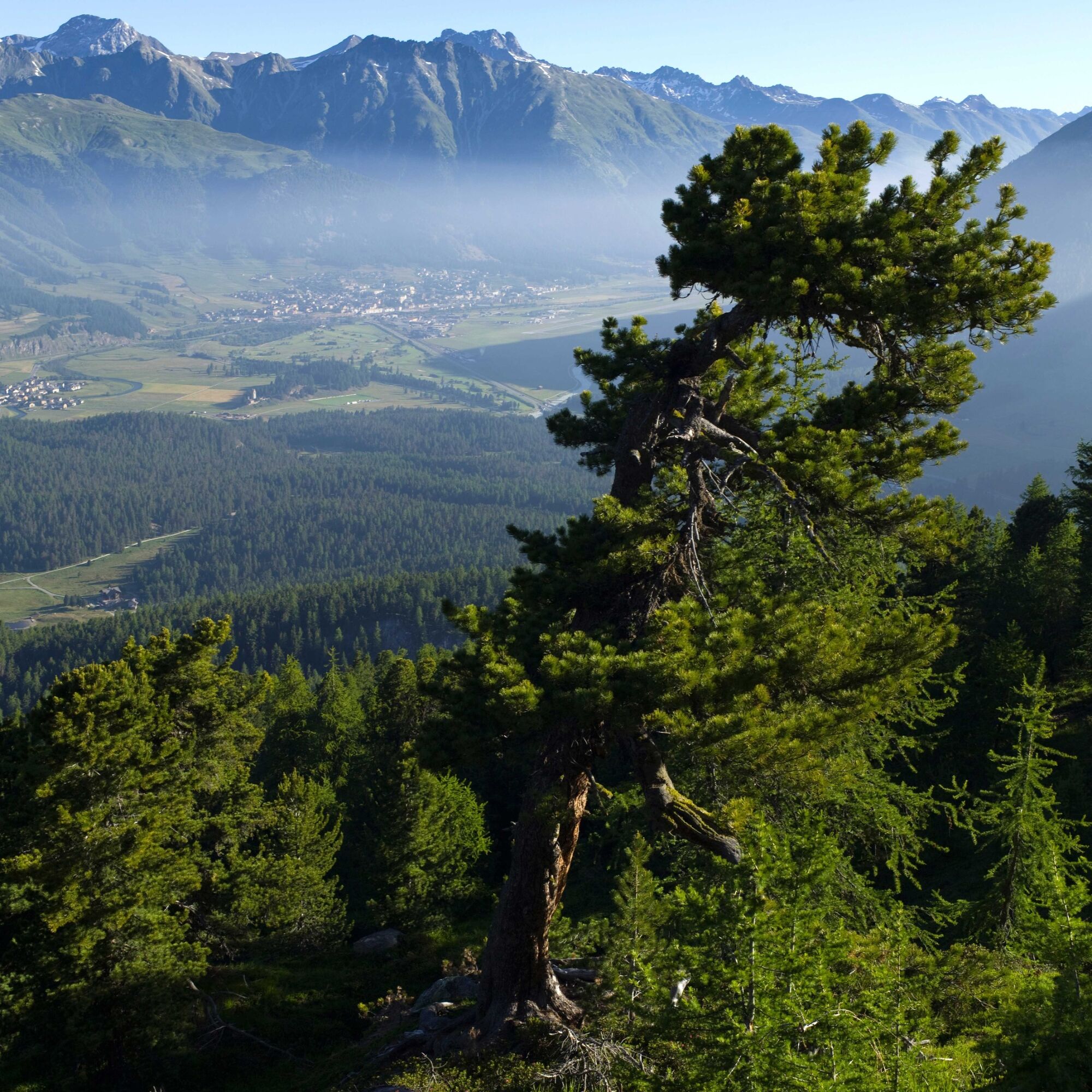
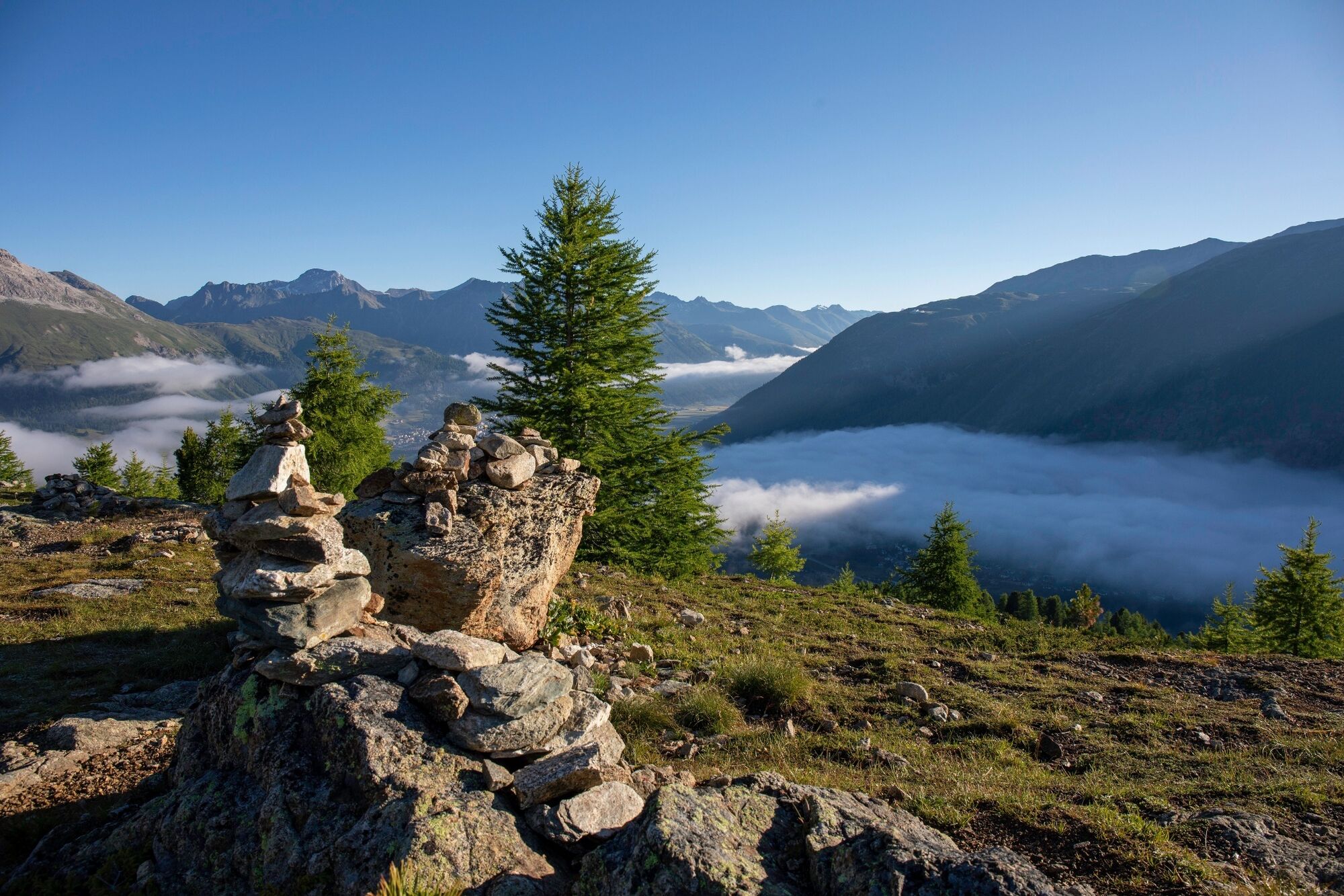
The route continues along the tree line with repeatedly wonderful views of the Upper Engadin lake landscape. The descent on a gently sloping hillside path, past bush-covered slopes and through mountain forest down to St. Moritz Bad is pleasant and easy to manage.

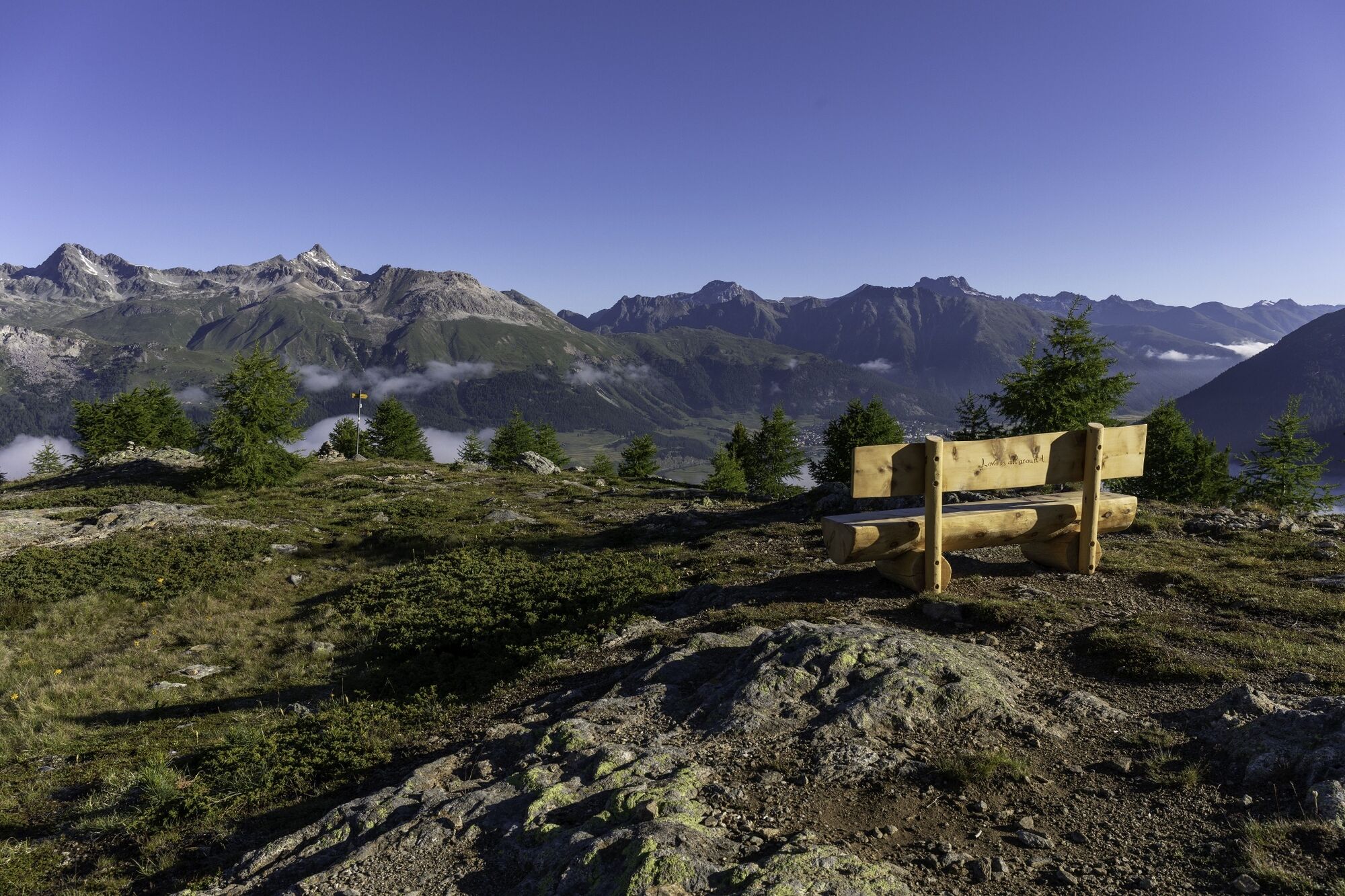

From Pontresina railway station, follow the signpost destination "Muottas da Schlarigna". From Muottas da Schlarigna, follow the signpost destination "St. Moritz-Bad".
Via San Gian 30
7500 St. Moritz
+41 (0)81 830 00 01
+41 (0)81 830 08 18
allegra@estm.ch
www.engadin.stmoritz.ch
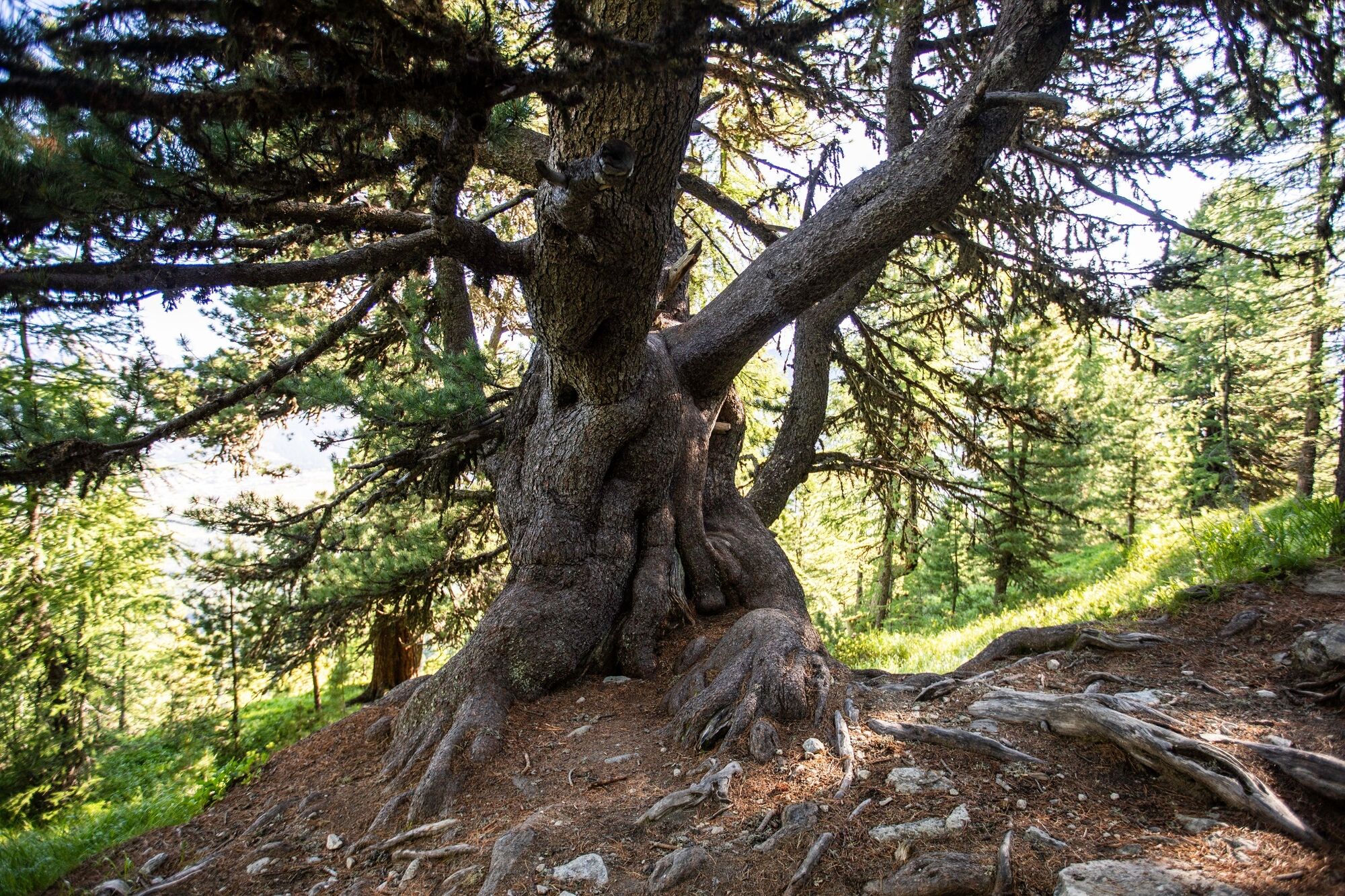
At the fork of the descent Alp Staz, beneath the bench, there is a thousand-year-old Swiss stone pine. In the immediate vicinity, there are more old Swiss stone pines.
Spletne kamere s turneje
-
Corviglia
-
St. Moritz / Samedan - Muottas Muragl
-
Camping Morteratsch
-
Corvatsch
-
Marguns - Plateau Nair
-
Samedo - Engadin Golf
-
St. Moritz / Samedan - Muottas Muragl
-
St. Moritz / Samedan - Muottas Muragl
-
St. Moritz / Samedan - Muottas Muragl
-
St. Moritz / Samedan - Muottas Muragl
-
Corviglia
-
Corviglia
-
Corviglia
-
Corviglia
-
Corviglia
-
Corviglia
-
Corviglia
-
Corvatsch
-
Corvatsch
-
Corvatsch
-
Corvatsch
-
Corvatsch
-
Corvatsch
-
Celerina - Cresta Palace
-
Piz Nair - St. Moritz
-
Celerina - Skiwiese Provuler
-
St. Moritz - Berghotel Randolins
-
Samedan - Engadin Airport
-
El Paradiso
-
Piz Nair Bergstation
-
Piz Nair Bergstation
-
Piz Nair Bergstation
-
Piz Nair Bergstation
-
Piz Nair Bergstation
-
Piz Nair Bergstation
-
Piz Nair Bergstation
-
Piz Nair Bergstation
-
Sporthotel Pontresina
-
Silvana - Alpetta Hütta
-
Alpetta Hütta, Corvatsch
Pridobite vpogled
Vedno v živo na mestu z več kot 9.500 spletnimi kamerami. bergfex Kot uporabnik Pro si lahko zdaj ogledate ustrezne spletne kamere za številne izlete v aplikaciji izleti iz. Tako si lahko neposredno ogledate trenutne razmere.


Priljubljeni izleti v okolici
-
4.7
Diavolezza - Munt Pers
svetlobaPohodništvo 3.82 km -
5.0
Morteratsch station - Boval Hut
srednjaPohodništvo 10.5 km -
5.0
Muottas Muragl - Segantini hut - Pontresina
srednjaPohodništvo 6.46 km -
4.4
Panoramic route Muottas Muragl
svetlobaPohodništvo 6.75 km -
4.5
Pontresina - Val Roseg - Pontresina
svetlobaPohodništvo 13.8 km -
4.7
SAC Tschierva
svetlobaPohodništvo 24.7 km -
4.8
Morteratsch Glacier route
svetlobaTematska pot 2.88 km -
Muottas Muragl - Segantini Hütte - Pontresina
srednjaPohodništvo 17.5 km -
5.0
Lagalb - Val Minor - Motta Bianca - Lagalb
srednjaPohodništvo 9.80 km -
4.2
Piz Palü (3.905m) – Hochtour
srednjaVisokogorska tura 13.4 km

Pohodništvo in sledenje


Ne zamudite ponudb in navdiha za naslednje počitnice
Vaš e-poštni naslov je bil dodan na poštni seznam.





