


Vorderalp: from St. Martin in Obersaxen
Stopnja težavnosti: T3

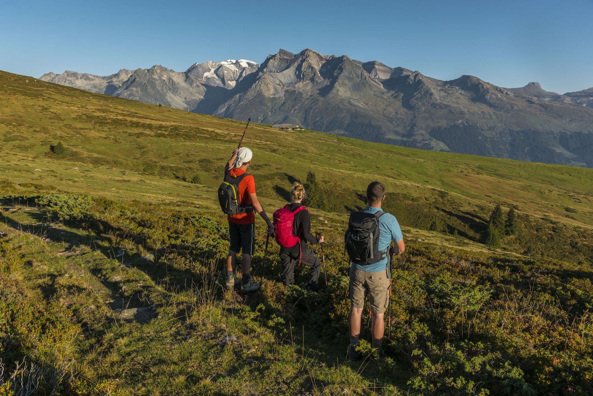
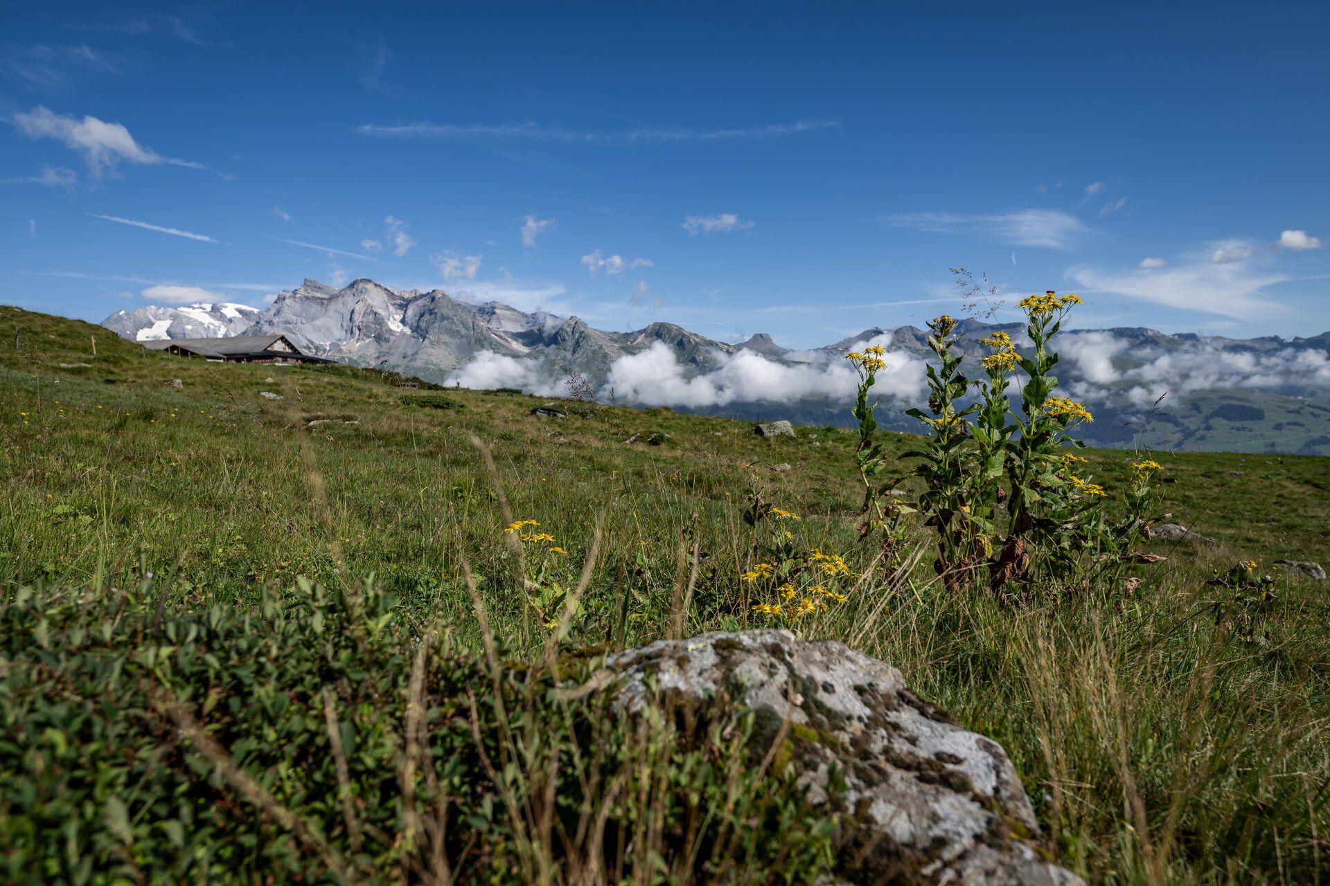
The noise and the whole hustle and bustle of everyday life are far away on this circular route. Here you can really switch off. The route starts in the hamlet of St. Martin. After the ascent over the Maiensässsiedlung...
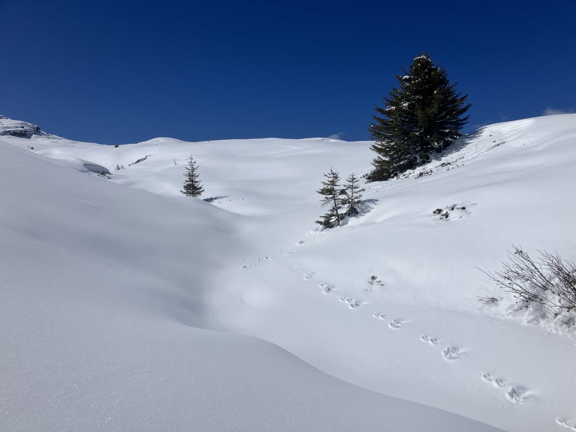
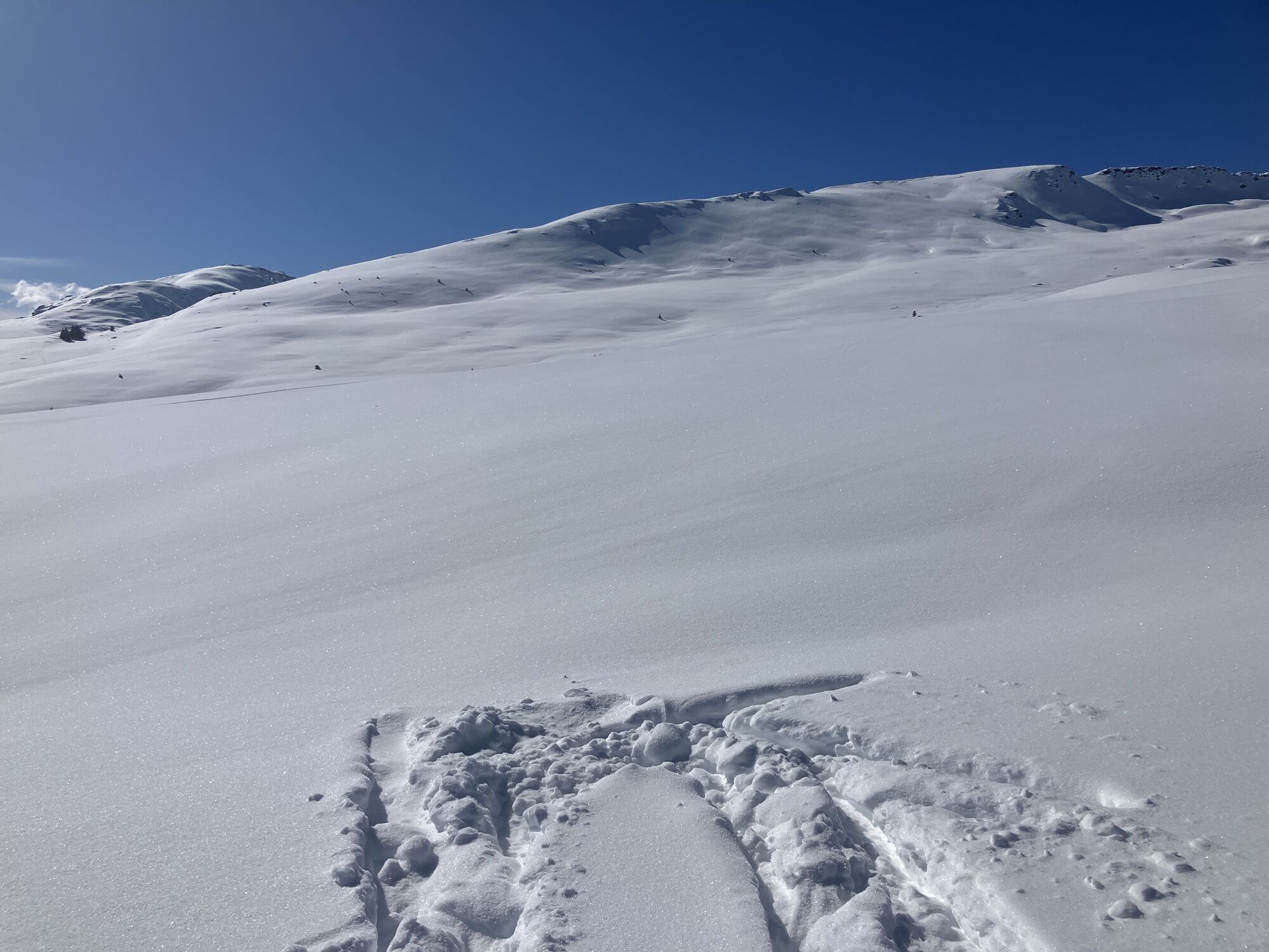
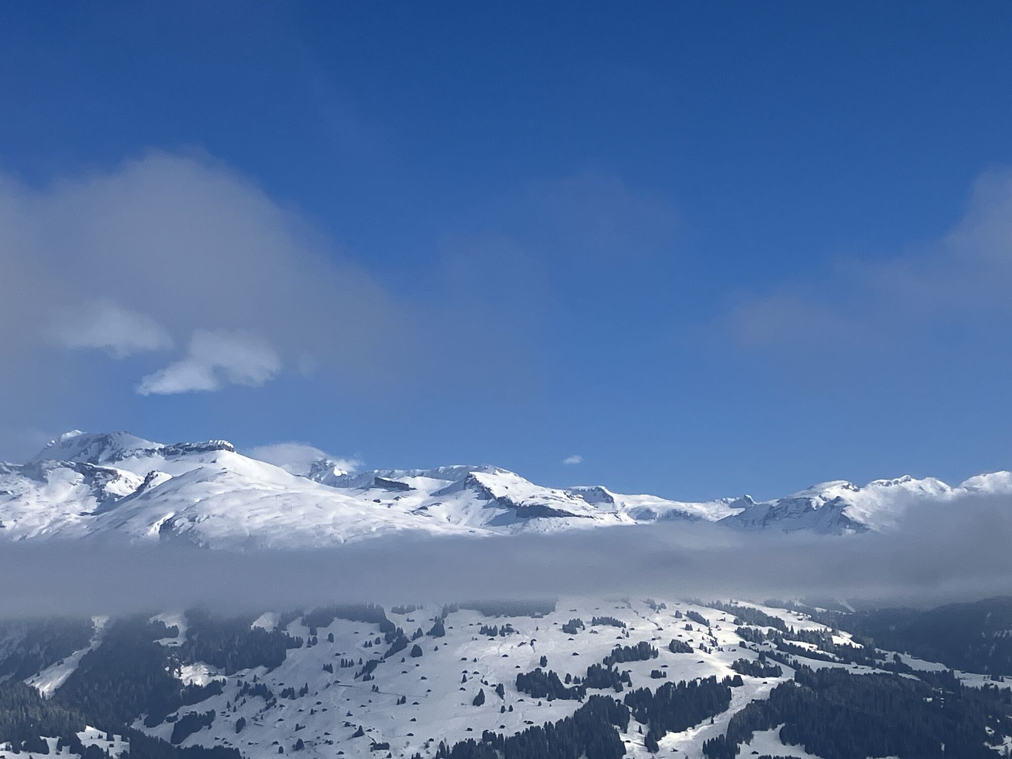
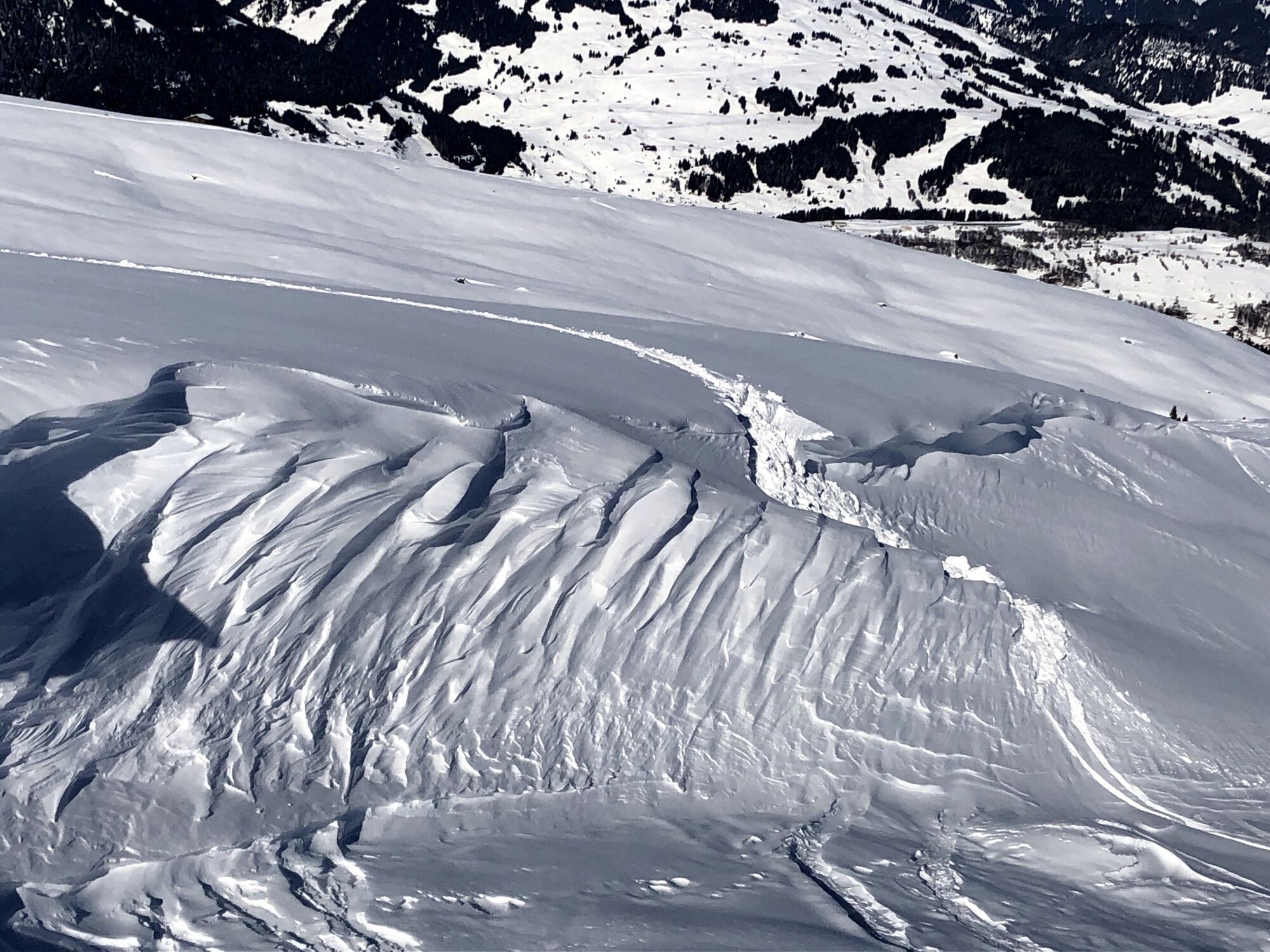
The noise and the whole hustle and bustle of everyday life are far away on this circular route. Here you can really switch off. The route starts in the hamlet of St. Martin. After the ascent over the Maiensässsiedlung Wasma, we reach the fork below Vorderalp, where we let our gaze wander across the entire valley. A short time later you reach Inneralp and thus the highest point of our hike. After the descent over the steep alpine path and crossing the Lumbreiner bridge, it goes comfortably on alpine roads and over Wanna back to St. Martin.

St. Martin - Wasma - Vorderalp - Inneralp - Wanna - St. Martin
Good hiking shoes with a good tread, weather-appropriate clothing (rain jacket), possibly a change of clothes, first aid kit, drink, provisions, and possibly hiking poles.
In uncertain weather conditions, the route should not be started. Weather changes are frequent in the mountains. If a rain front or similar draws in during the hike, you should turn back in time.
Up to in front of St. Martin.
By post bus from Ilanz to Obersaxen Friggahüs
Parking options in front of St. Martin.
There is a small parking lot in front of the bridge.
T3
Priljubljeni izleti v okolici
-
5.0
High valley Val Frisal
težkoPohodništvo 12.4 km -
5.0
Hiking route Suspension Bridge Val da Tersnaus
srednjaPohodništvo 3.24 km -
Panoramic route between Piz Mundaun and Péz Sezner
srednjaPohodništvo 6.75 km -
5.0
2-day hike Greina high plateau
srednjaPohodništvo 14.9 km -
4.5
Around the Grep da Plaids
srednjaPohodništvo 8.05 km -
5.0
Hike Vrin - Uors over the suspension bridge Val da Silgin
srednjaPohodništvo 12.3 km -
3.5
Places of Magic - Lumbrein
srednjaPohodništvo 8.74 km -
5.0
Disentis - Cavardiras - Cupadials - Sumvitg
svetlobaPohodništvo 13.7 km -
5.0
Breil/Brigels - Val Frisal Rundwanderung
srednjaPohodništvo 20.8 km -
4.0
Senda culturala Lumnezia / Kulturweg Lumnezia
svetlobaTematska pot 7.54 km
Pohodništvo in sledenje


Ne zamudite ponudb in navdiha za naslednje počitnice
Vaš e-poštni naslov je bil dodan na poštni seznam.