


62 Walserweg Gottardo, stage 13: Curaglia – Sumvitg, Val
Stopnja težavnosti: T3
At the foot of Piz Muraun on the Lukmanier road lies Curaglia, the largest village in the Medel municipality. After starting at the church, the path ascends through a wild gorge with layered slate stones....
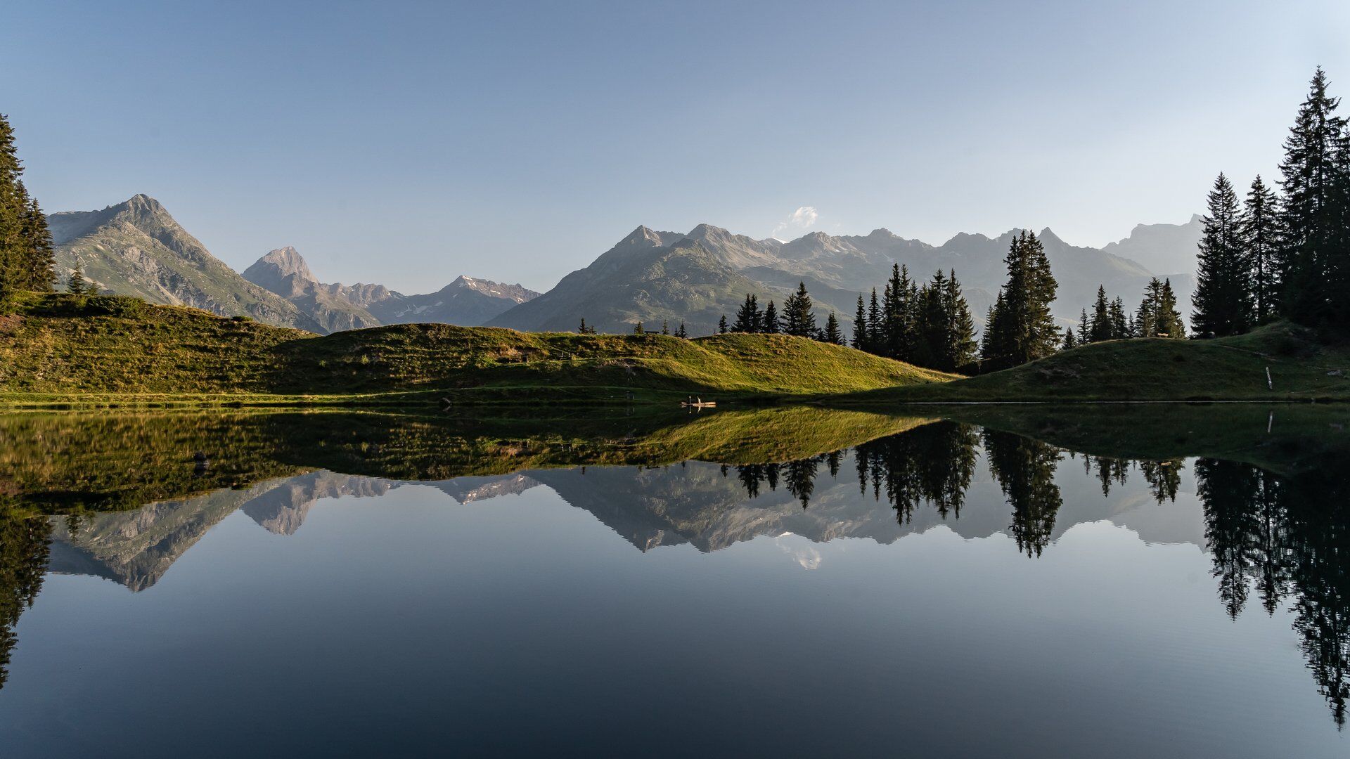
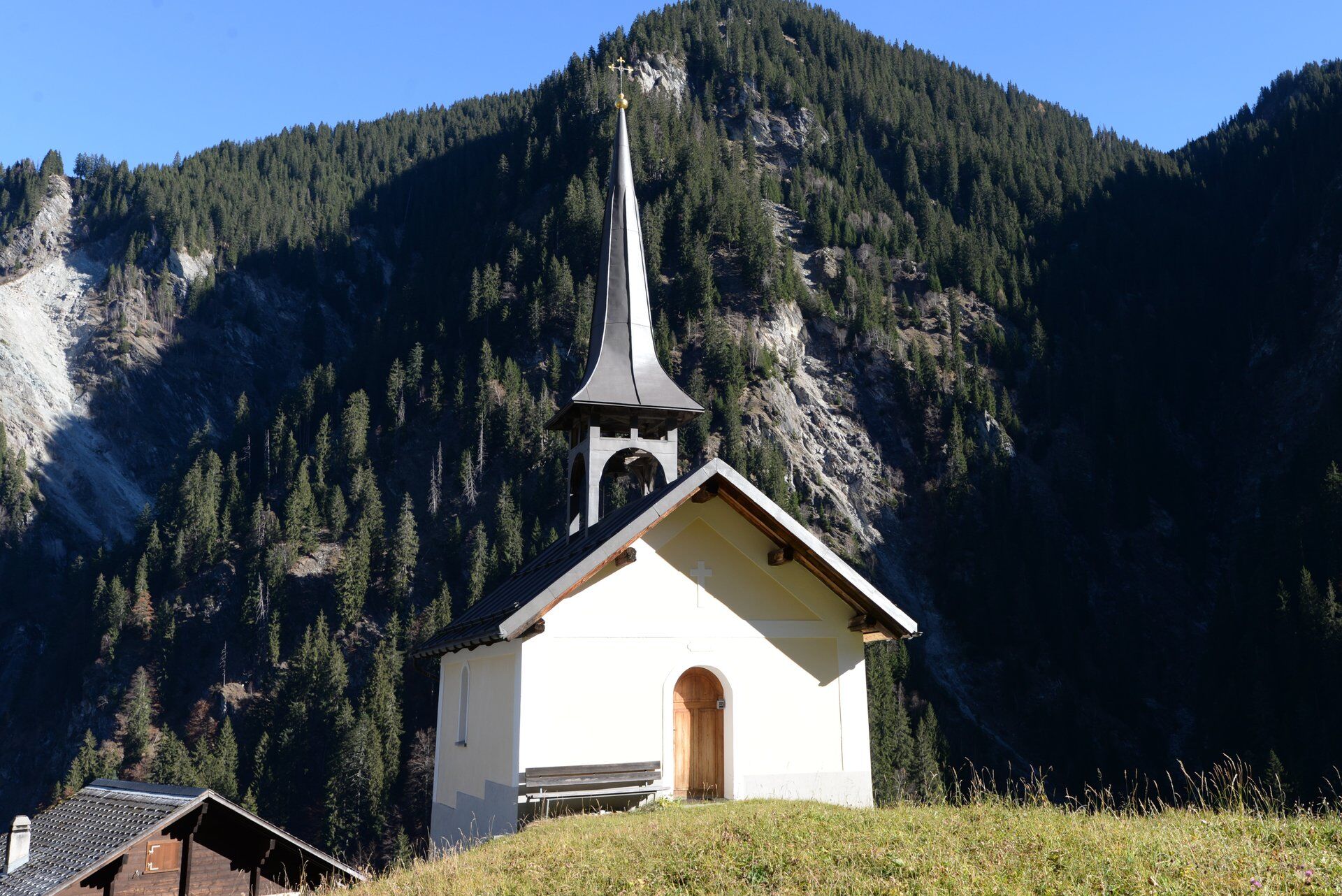
At the foot of Piz Muraun on the Lukmanier road lies Curaglia, the largest village in the Medel municipality. After starting at the church, the path ascends through a wild gorge with layered slate stones. Steep and sweat-inducing is the next part over a wooded ridge, past alpine huts and above the tree line to Alp Soliva. Here is the highest point of the stage. In the far south, the Medelser glacier appears; in the north, the white Tödi massif greets. The mountain path now winds over the undulating high plateau covered with heather shrubs and bushes. On the descent, you have a view of Disentis with its dominant monastery building. According to old monastery chronicles, abbots and monks of Walser origin also worked here.
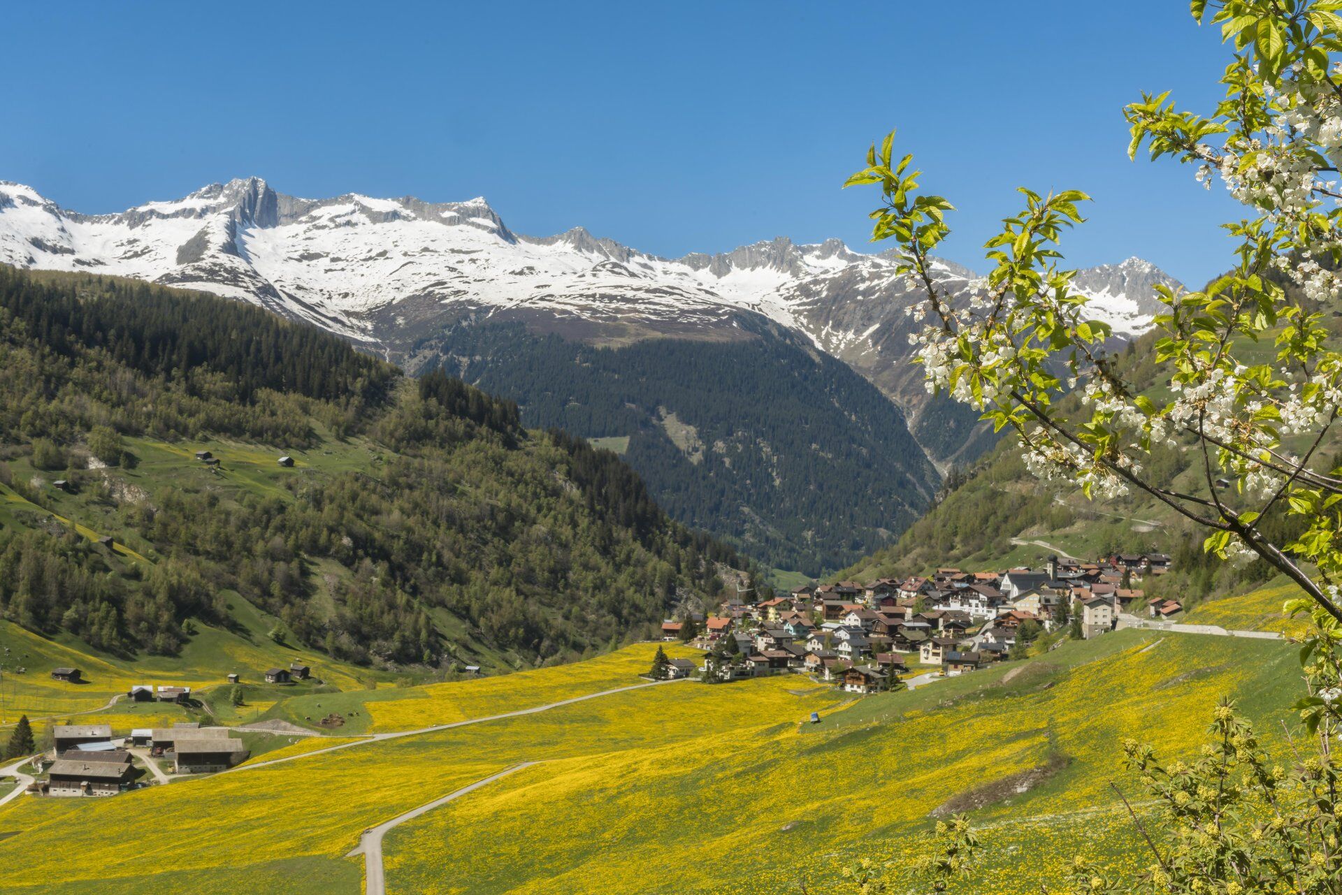
Surrounded by overgrown rock blocks at the edge of the huge erosion funnel of the Bova Gronda, the path leads into a dense mountain forest. A refreshing section follows before concentration is again required on the slippery path over two wild torrent ravines. In a terrain hollow, the lovely Lag da Laus suddenly appears with its benches and fire pits. It is a good spot for a break and a popular excursion destination, reachable on foot from the village of Laus in an hour. After the alpine meadows, a last rough section through the forest leads to Alp Con. Visible from the narrow path: the impressive erosion funnel on the opposite slope; briefly, the impressive buildings of the former Teniger spa appear in the valley. Since 1580, various uses have alternated, all reopening attempts failed. Currently, the spa with hotel complex is closed (as of 2023).
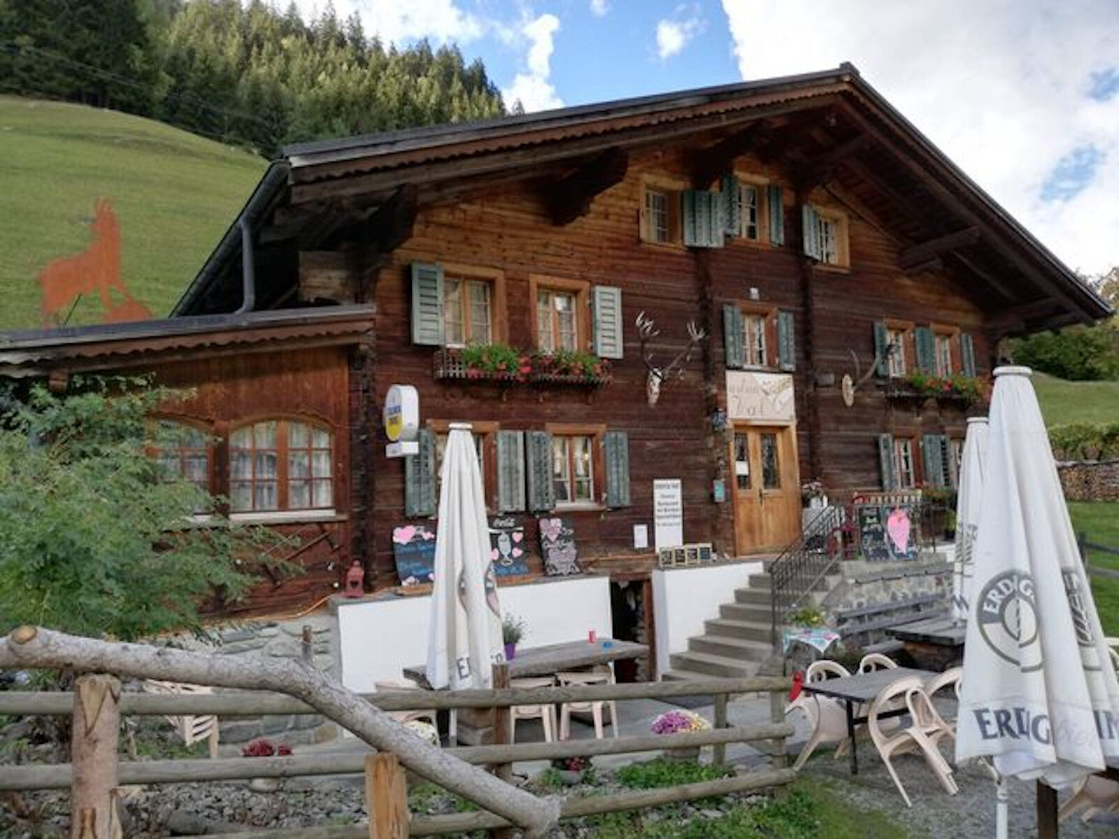
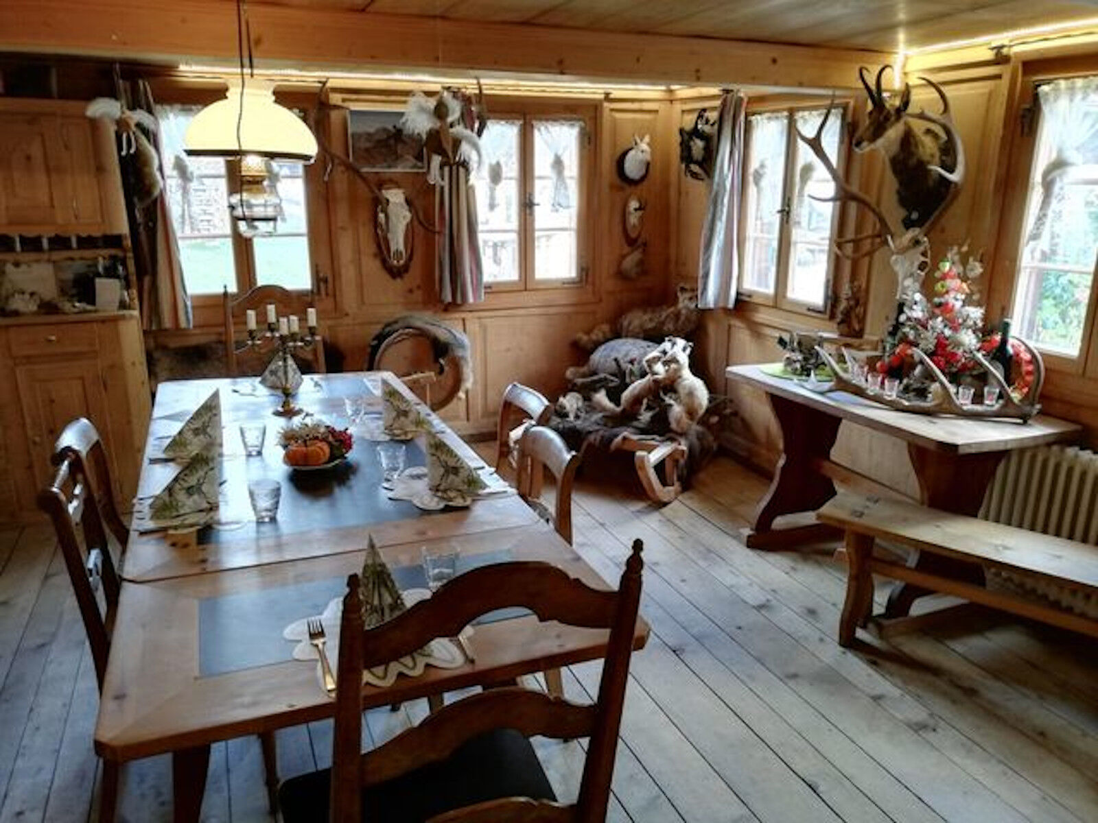
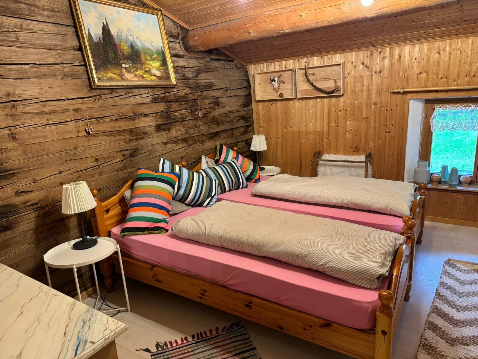
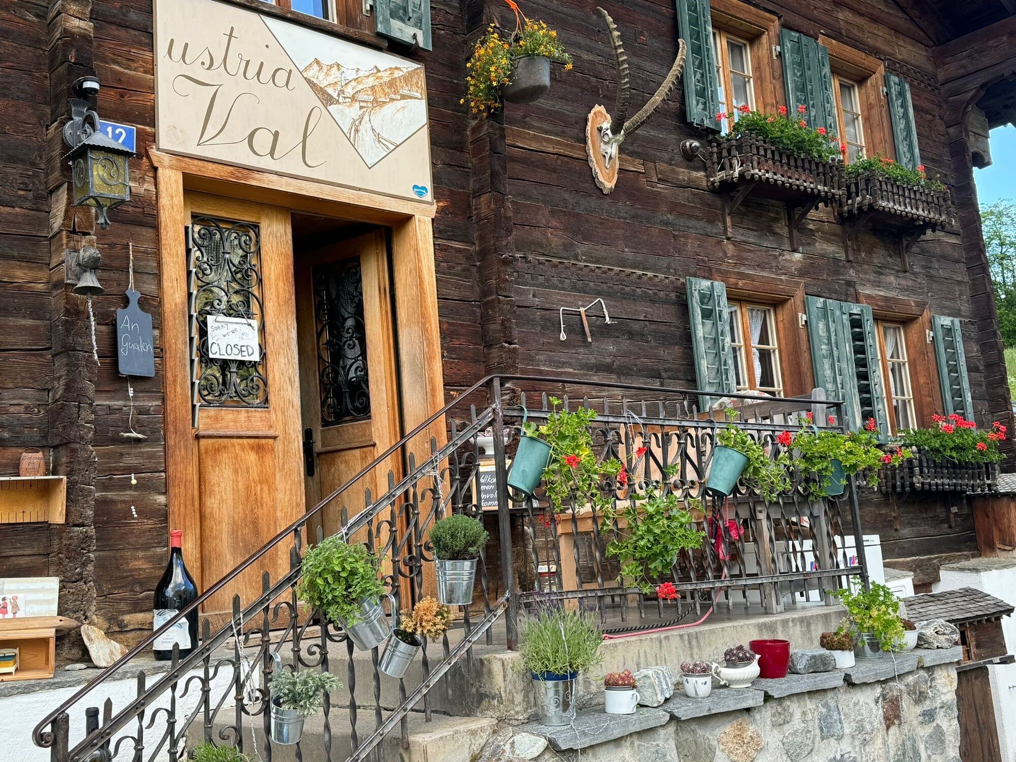
From Alp Con Sut, the route follows the forest road, which arrives in long switchbacks through the forest at the hamlet of Val. The only inn in the small settlement is a cozy, original Ustria (closed Mo/Tu) and also the stage destination.

Curaglia - Soliva - Alp Soliva Caischavedra - Lag da Laus - Con - Val / Val Sumvitg
Da
Good hiking shoes with a good tread, weather-appropriate clothing (rain jacket/sun protection), change of clothes, first aid kit, drinks, food, GPS device and/or map material, possibly hiking poles.
Do not start the route in uncertain weather conditions. Weather changes in the mountains are common. If a rain front or similar arises during the hike, you should turn back in time.
Start especially early in autumn, as the stage is rather long.
By car to Disentis and then PostBus to Curaglia.
At the end of the route, take the Bus Alpin to Sumvitg and the RhB to Disentis
Long-distance hiking trail
Only this stage: PostBus from Disentis to Curaglia
P+R parking at Disentis station
T3
Pack swimwear for a swim in Lag da Laus - and/or grill food in your lunch.
The Ustria Val Sumvitg is not always open. Please reserve early.
Buy enough lunch in Curaglia, as there is only peace and nothing at the stage location. Prima village shop in Curaglia.
Learn more about the entire Walserweg San Gottardo at the International Association for Walser Culture.
Priljubljeni izleti v okolici
-
Rueras - Hexensee - Rueras
srednjaPohodništvo 9.71 km -
Giro della Greina
Pohodništvo 50.6 km -
1.0
Wasserfälle Bauns bei Sedrun
svetlobaPohodništvo 3.45 km -
Sedrun - Segnas - Disentis
svetlobaPohodništvo 9.77 km -
Lag Serein: A large circular hike from S. Benedetg
srednjaPohodništvo 13.4 km -
Sedrun - Alp Caschlé - Hexenplatte - Sedrun
srednjaPohodništvo 13.3 km -
Ridge hike to Blausee and Piz Titschal
težkoPohodništvo 23.5 km -
Piz Terri, 3.149 m
srednjaVisokogorska tura 6.92 km -
5.0
Disentis - Cavardiras - Cupadials - Sumvitg
svetlobaPohodništvo 13.7 km -
Wanderung Chrüzlipass und Mittelplatte
srednjaPohodništvo 29.9 km
Pohodništvo in sledenje


Ne zamudite ponudb in navdiha za naslednje počitnice
Vaš e-poštni naslov je bil dodan na poštni seznam.