


Stage 4 Rhine hike Disentis - Trun
Stopnja težavnosti: T1
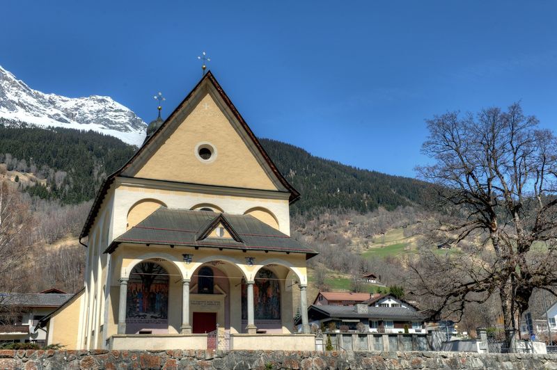
From Disentis train station, follow the natural road to Cavardiras up to the bridge at Brulf. Here turn left and hike to Disla. The Ustria Fravia is located next to the chapel, not directly on our hiking...
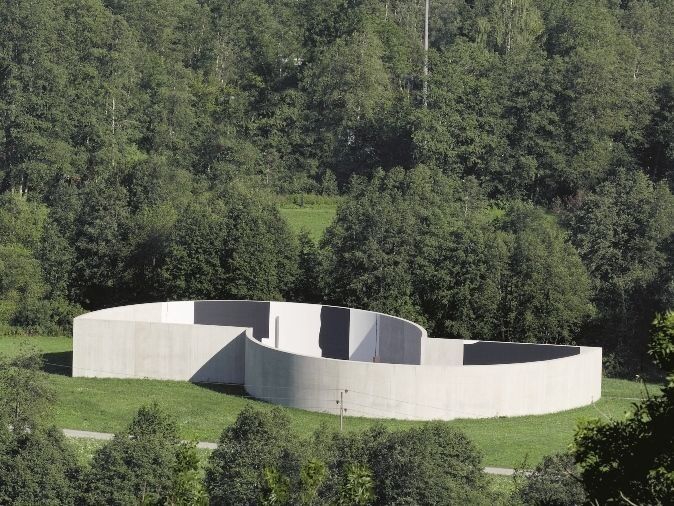
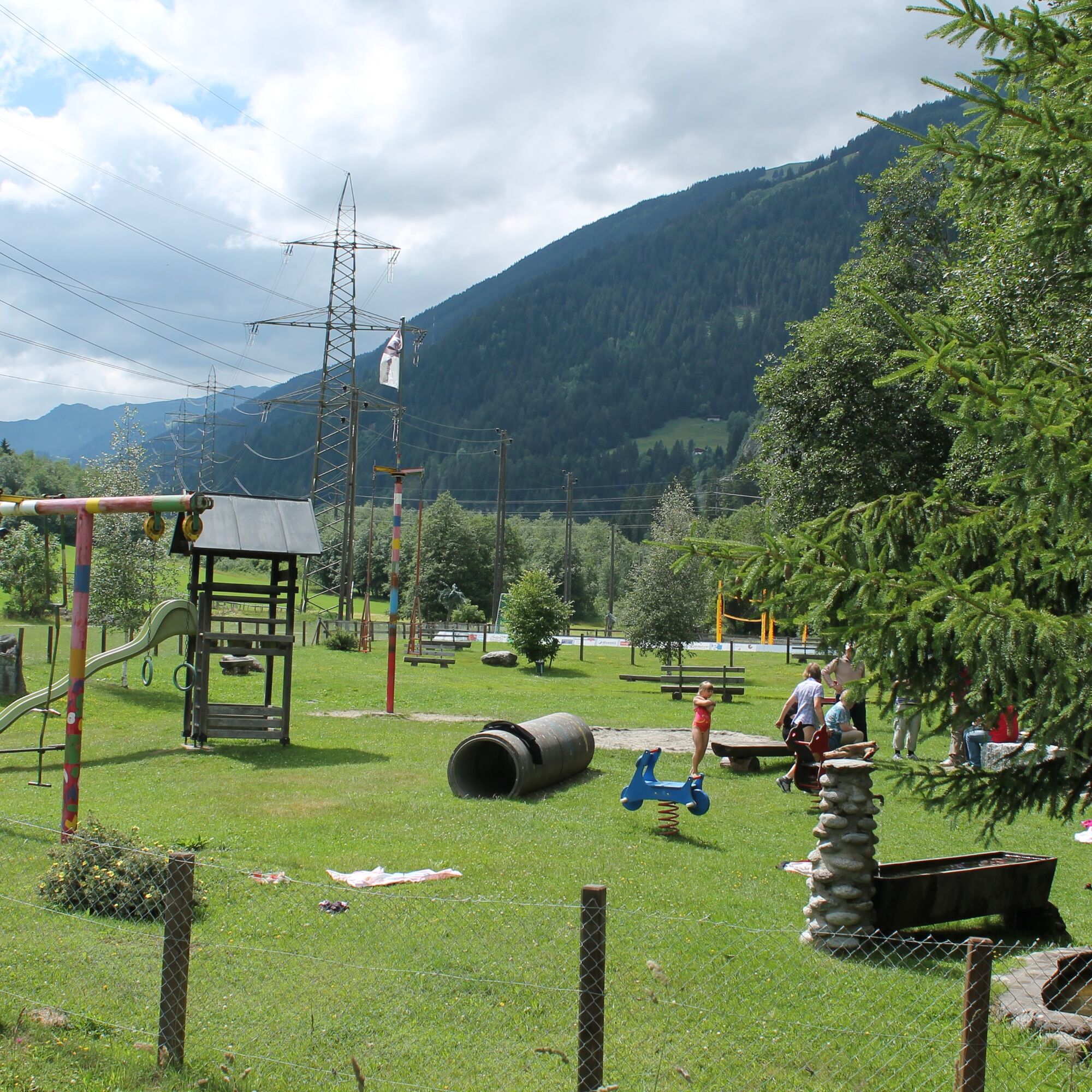
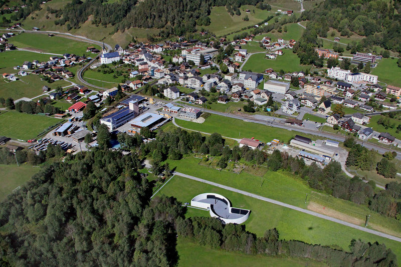
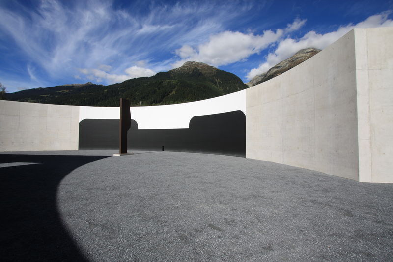
From Disentis train station, follow the natural road to Cavardiras up to the bridge at Brulf. Here turn left and hike to Disla. The Ustria Fravia is located next to the chapel, not directly on our hiking route. The hiking trail junction for the planned hike is located in Disla in the middle of the village, about 200 m before the Ustria. In Madernal you reach a carriage road from the hiking trail. Before the bridge, turn left again. At the power station, the carriage road ends and a hiking trail leads behind the building into the forest. After the forest, you reach the bridge over the Rhine, which you cross. The playground and barbecue area are immediately to the right after the bridge. Now follow the Vorderrhein on the right side through the hamlets of Resgia, Reits, Plazzas for about 6 kilometers until you cross the Rhine again before Trun. You walk along the Senda d'Art to Campadi Trun up to the train station in Trun.

Disentis - Disla - Madernal - Resgia - Reits - Plazzas - Trun
Good hiking shoes with a good tread, weather-appropriate clothing (rain jacket/sunscreen), change of clothes, first aid kit, drink, provisions, possibly hiking poles.
From Andermatt or Ilanz to Disentis or Trun
Disentis is accessible by the Rhaetian Railway both from Chur and via the Matterhorn Gotthard Railway over the Oberalp Pass.
Disentis: at the train station
Trun: few at the train station
T1
The hike can be shortened arbitrarily by the Rhaetian Railway.
Spletne kamere s turneje
Priljubljeni izleti v okolici
- 5,0
High valley Val Frisal
težkoPohodništvo 12,4 km Rueras - Hexensee - Rueras
srednjaPohodništvo 9,71 km- 1,0
Wasserfälle Bauns bei Sedrun
svetlobaPohodništvo 3,45 km Sedrun - Segnas - Disentis
svetlobaPohodništvo 9,77 kmSedrun - Alp Caschlé - Hexenplatte - Sedrun
srednjaPohodništvo 13,3 km- 5,0
2-day hike Greina high plateau
srednjaPohodništvo 14,9 km - 4,5
Around the Grep da Plaids
srednjaPohodništvo 8,05 km - 4,7
The Puntegliashütte at the foot of the Tödi massif
težkoPohodništvo 13,5 km - 5,0
Disentis - Cavardiras - Cupadials - Sumvitg
svetlobaPohodništvo 13,7 km - 5,0
Breil/Brigels - Val Frisal Rundwanderung
srednjaPohodništvo 20,8 km

Pohodništvo in sledenje


Ne zamudite ponudb in navdiha za naslednje počitnice
Vaš e-poštni naslov je bil dodan na poštni seznam.