


Zuckerstock
Fotografije naših uporabnikov
-
 © alinraduUstvarjeno na 24.08.2025
 -
 © alinraduUstvarjeno na 24.08.2025
 -
 © alinraduUstvarjeno na 24.08.2025
 -
 © alinraduUstvarjeno na 24.08.2025
 -
 © Marianne GrobnerUstvarjeno na 07.08.2025
 -
 © Marianne GrobnerUstvarjeno na 07.08.2025
 -
 © Marianne GrobnerUstvarjeno na 07.08.2025
 -
 © Marianne GrobnerUstvarjeno na 07.08.2025
 -
 © Marianne GrobnerUstvarjeno na 07.08.2025

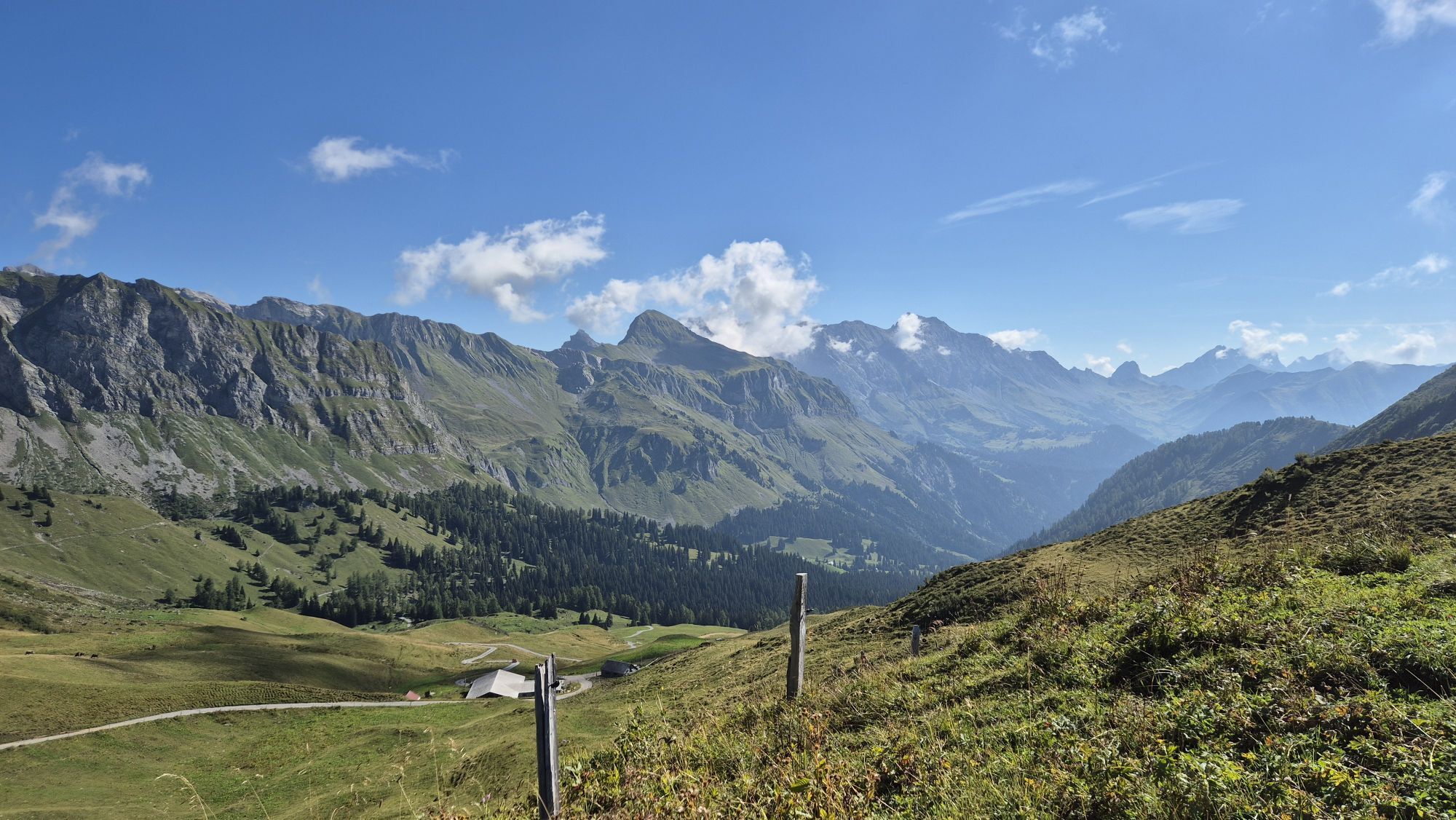

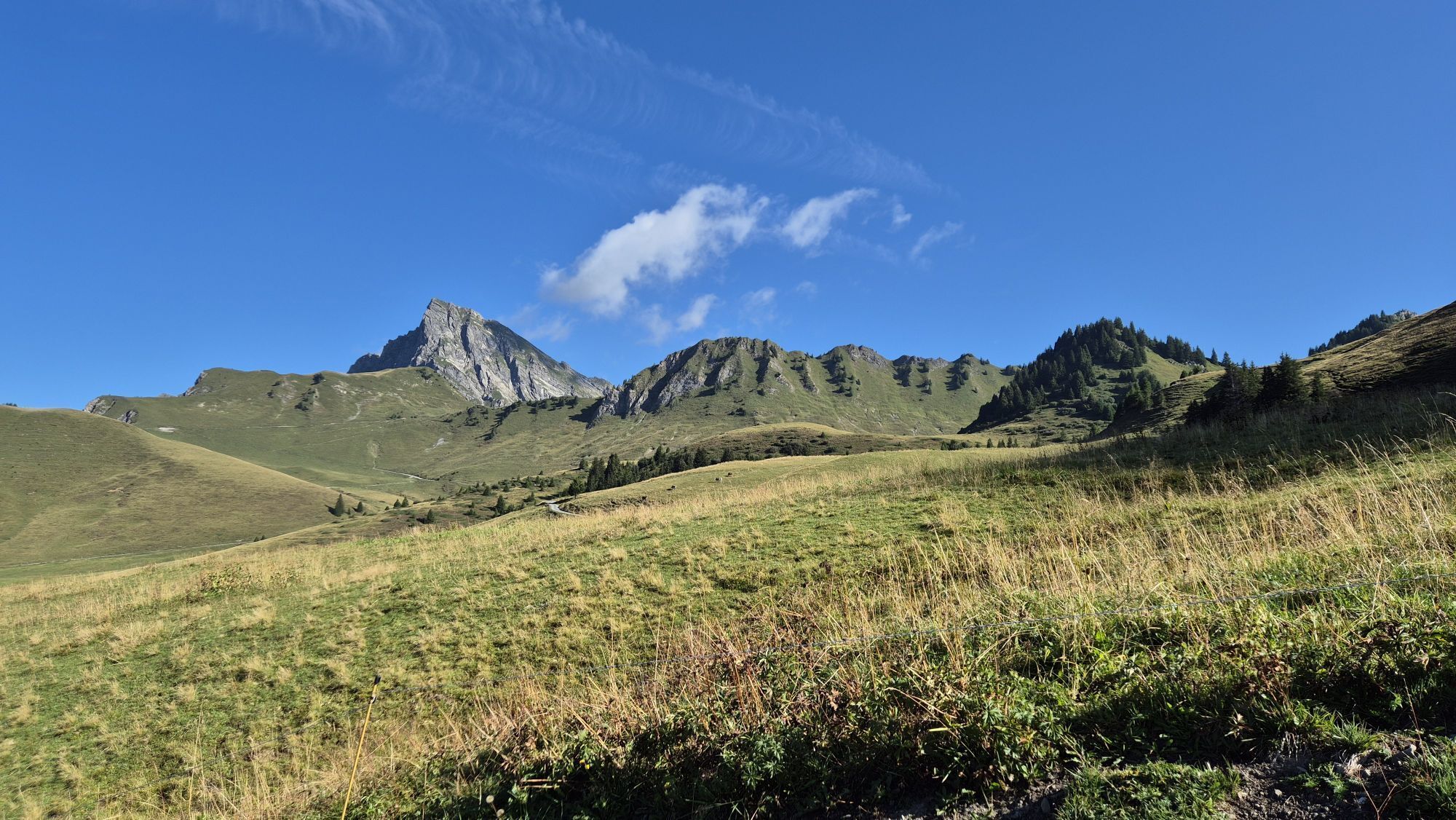

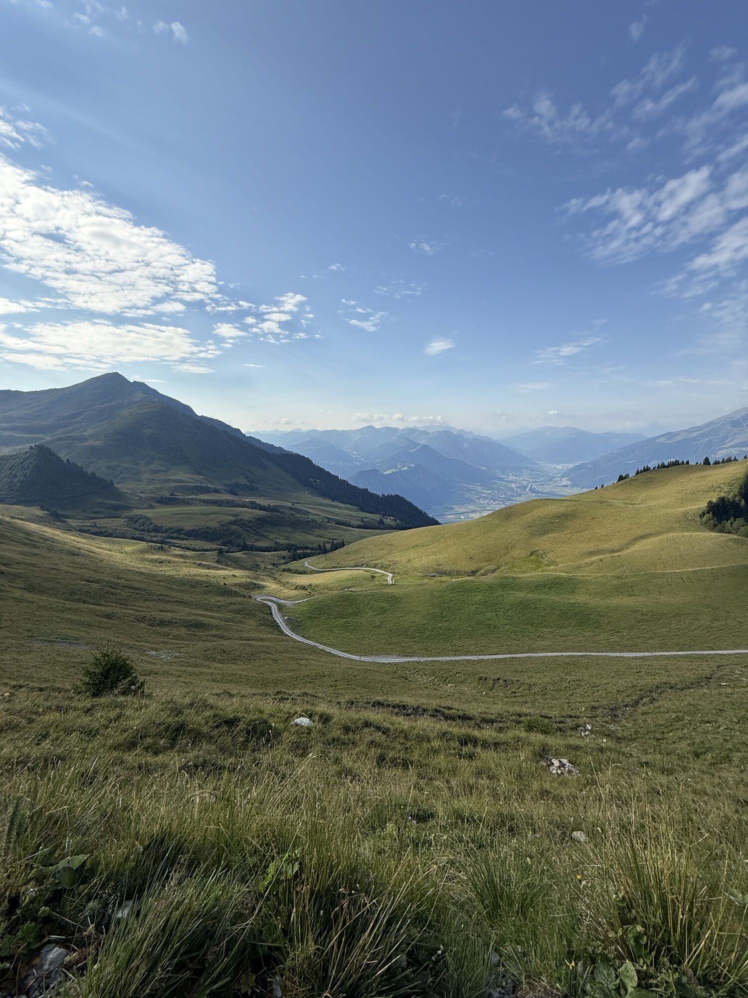
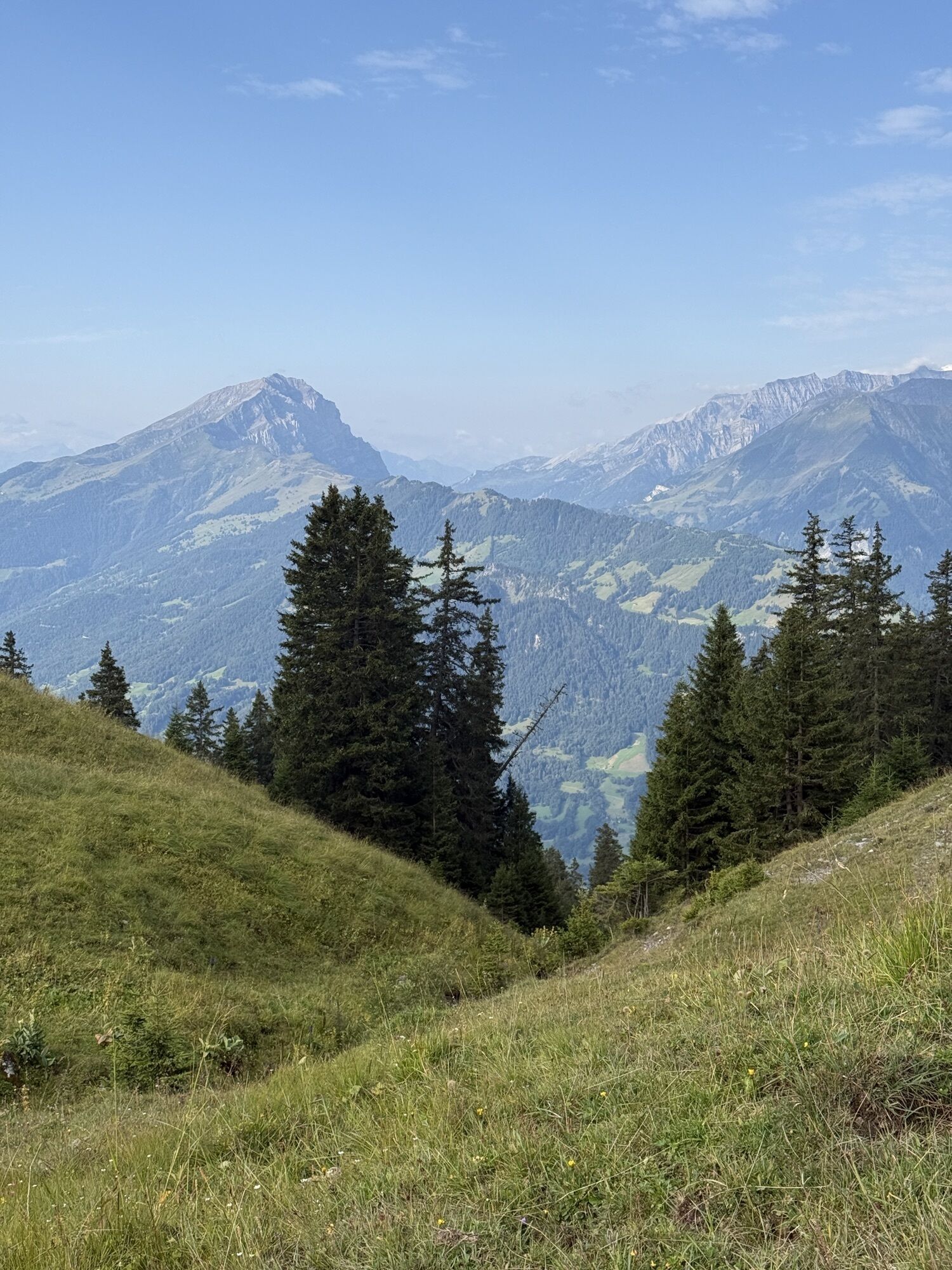

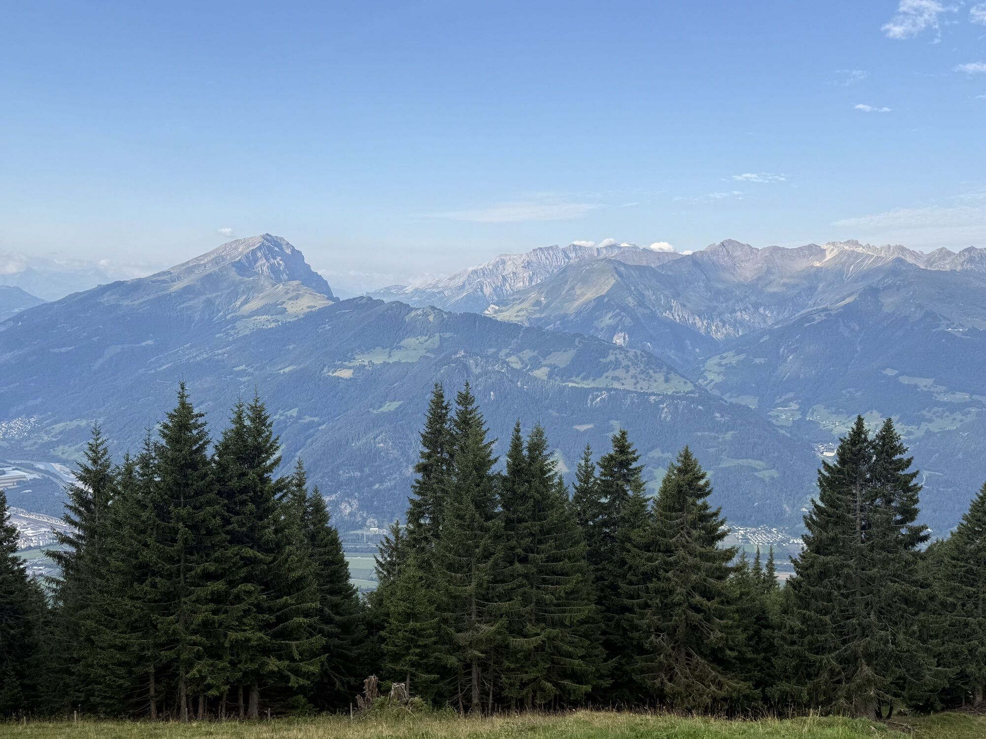
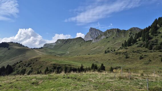
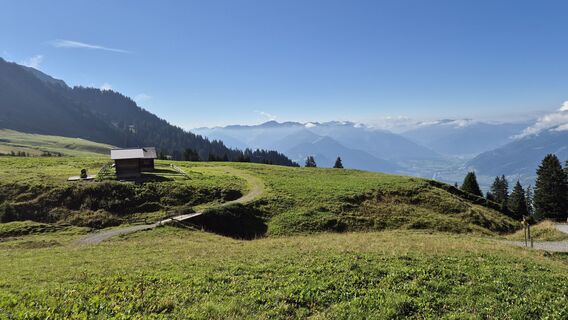
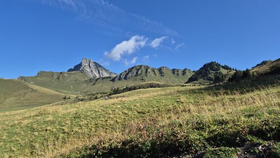
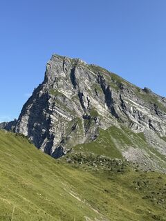
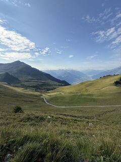
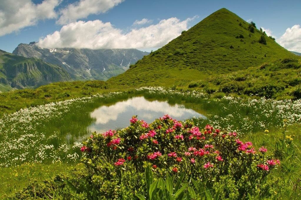
At the "Ober Tritt" signpost, continue over the stream and then keep right along the Ruchenberg to the eastern end of the mountain. On partly wet ground, the trail leads northwest to the "Ober Tritt" saddle...
At the "Ober Tritt" signpost, continue over the stream and then keep right along the Ruchenberg to the eastern end of the mountain. On partly wet ground, the trail leads northwest to the "Ober Tritt" saddle and then sharp right to the Zuckerstock (cone), where an impressive Alpine panorama awaits guests. The hike returns via the saddle and northwards on a short descending path to Alp Bad. From there, the trail leads over the ridge to Vorderalp and back to the Älplibahn mountain station. On the hike you will discover a rich alpine flora, marmots, chamois, eagles and other wild animals.

Malanser Älpli - Sugar cane - Malanser Älpli
Da
Normal hiking equipment, sturdy mountain boots.
Take the Landquart highway exit, then the main road to Malans. The route to the Älplibahn is signposted in the village.
Take the train to Landquart and continue by bus to the Älplibahn Malans stop.
Public parking spaces available at the Älplibahn station (subject to charge)
Heidiland Tourism
Info point Bad Ragaz
T +41 81 300 40 20
www.heidiland.com
We recommend that you call the Älplibahn in advance: T. +41 81 322 47 64
Priljubljeni izleti v okolici
-
5.0
Douglasshütte, Lünersee, Gafalljoch Brand bei Bludenz, Vorarlberg
svetlobaPohodništvo 9.16 km -
3.8
Sassweg - von Malbun zum Sass-Seelein
Pohodništvo 4.14 km -
3.7
Fürstin-Gina-Weg
Pohodništvo 10.7 km -
4.6
To the summit cross of the Alpspitz
svetlobaPohodništvo 6.27 km -
4.8
From Malbun to the Schönberg
srednjaPohodništvo 12.4 km -
3.7
5-Seen-Wanderung - DER KLASSIKER
težkoPohodništvo 9.70 km -
4.7
Douglashütte - Schesaplana
srednjaPohodništvo 7.31 km -
4.8
Pizalun circular route
svetlobaPohodništvo 7.18 km -
3.3
Wanderbares Zalimtal
srednjaPohodništvo 12.2 km -
4.5
Tamina Gorge Circular Route
srednjaPohodništvo 14.0 km

Pohodništvo in sledenje


Ne zamudite ponudb in navdiha za naslednje počitnice
Vaš e-poštni naslov je bil dodan na poštni seznam.