


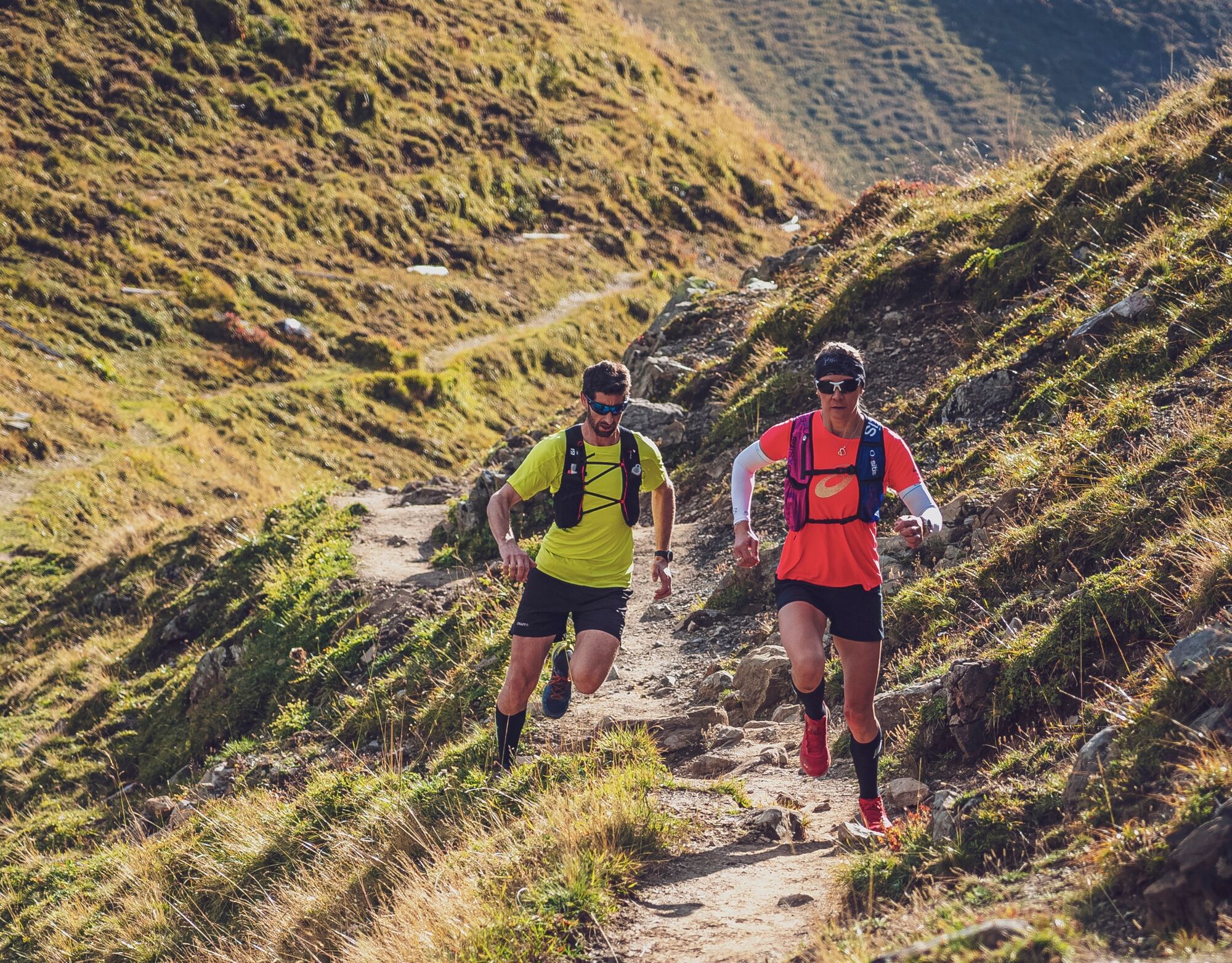
Crupspitz trail
After a short warm-up in the village of Grüsch, it immediately gets serious: In less than a kilometer, around 300 vertical meters have to be climbed in countless switchbacks. After that, it becomes much...
After a short warm-up in the village of Grüsch, it immediately gets serious: In less than a kilometer, around 300 vertical meters have to be climbed in countless switchbacks. After that, it becomes much flatter. After a short stretch on a gravel road, you can turn onto a wonderfully runnable path. This leads with constant ups and downs to the Crupspitz. Upon arrival, you enjoy a great view of the front Prättigau. A short, steep descent follows to the Furgga, where the trail reaches the Prättigau ridge trail. Follow it to the picturesque Seewis. Here this route leaves the well-known long-distance trail to return past the Solavers castle ruins to Grüsch.
About the author:
Stephan Hugenschmidt is the winner and course record holder of the Eiger Ultra, Zugspitz Ultratrail, and Madrisa Trail. Stephan lives in Grüsch and knows the trails in Prättigau like the back of his hand. He especially loves in Prättigau that the trails are not overcrowded and you can be out in intact nature for hours.

Grüsch train station – Seewis-Pardisla – Rütiwis – Crupspitz – Furgga – Seewis village – Solavers castle ruins – Grüsch
Suitable trail running shoes, mobile phone and emergency kit.
Motorway A13 to Landquart. Take exit 14 and drive on national road N28 towards Davos. Leave the national road in Grüsch.
Take the Rhaetian Railway from Landquart to Grüsch.
This trail is one of many top routes in the shared trail network Prättigau-Klosters-Davos.
Discover more routes at:
https://www.davos.ch/sommer/aktivitaeten/trailrunning/trailrunning-touren/
Instead of running back to Seewis at the Furgga, you can also follow the Prättigau ridge trail in the opposite direction. The trail thus leads to the well-known viewpoint Fadärastein with the magnificent view over the Chur Rhine Valley. The route follows a well-developed hiking path until the fork at about 800 m. Here you can either continue to Malans and take the train back to Grüsch or run back to the starting point through the Chlus.
Spletne kamere s turneje
Priljubljeni izleti v okolici
-
4.9
Douglasshütte, Lünersee, Gafalljoch Brand bei Bludenz, Vorarlberg
svetlobaPohodništvo 9.16 km -
3.7
Fürstin-Gina-Weg
Pohodništvo 10.7 km -
3.8
Sassweg - von Malbun zum Sass-Seelein
Pohodništvo 4.14 km -
4.7
Tamina Gorge Circular Route
srednjaPohodništvo 14.0 km -
4.8
Douglashütte - Schesaplana
srednjaPohodništvo 7.31 km -
4.6
Pizalun circular route
svetlobaPohodništvo 7.18 km -
3.3
Wanderbares Zalimtal
srednjaPohodništvo 12.2 km -
5.0
Around the Kirchlispitzen (2,552 m)
težkoPohodništvo 14.8 km -
4.7
Off to the Falknis
težkoPohodništvo 18.2 km -
5.0
Schesaplana
srednjaVisokogorska tura 5.26 km
Pohodništvo in sledenje


Ne zamudite ponudb in navdiha za naslednje počitnice
Vaš e-poštni naslov je bil dodan na poštni seznam.