






Rothorn-Run
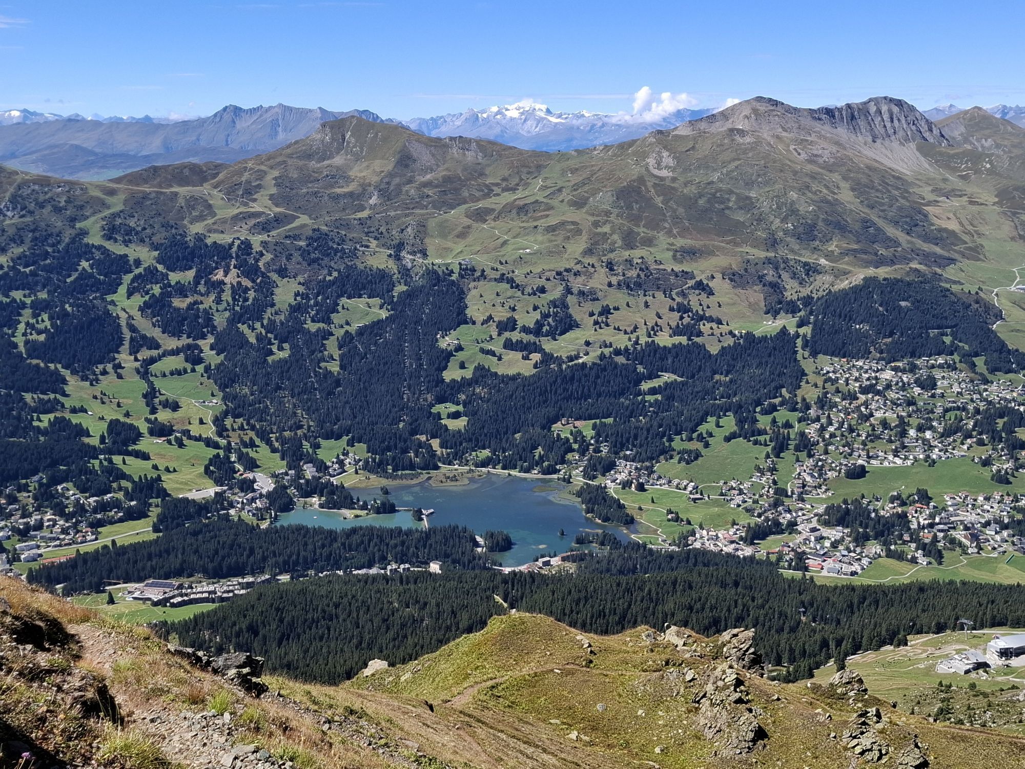
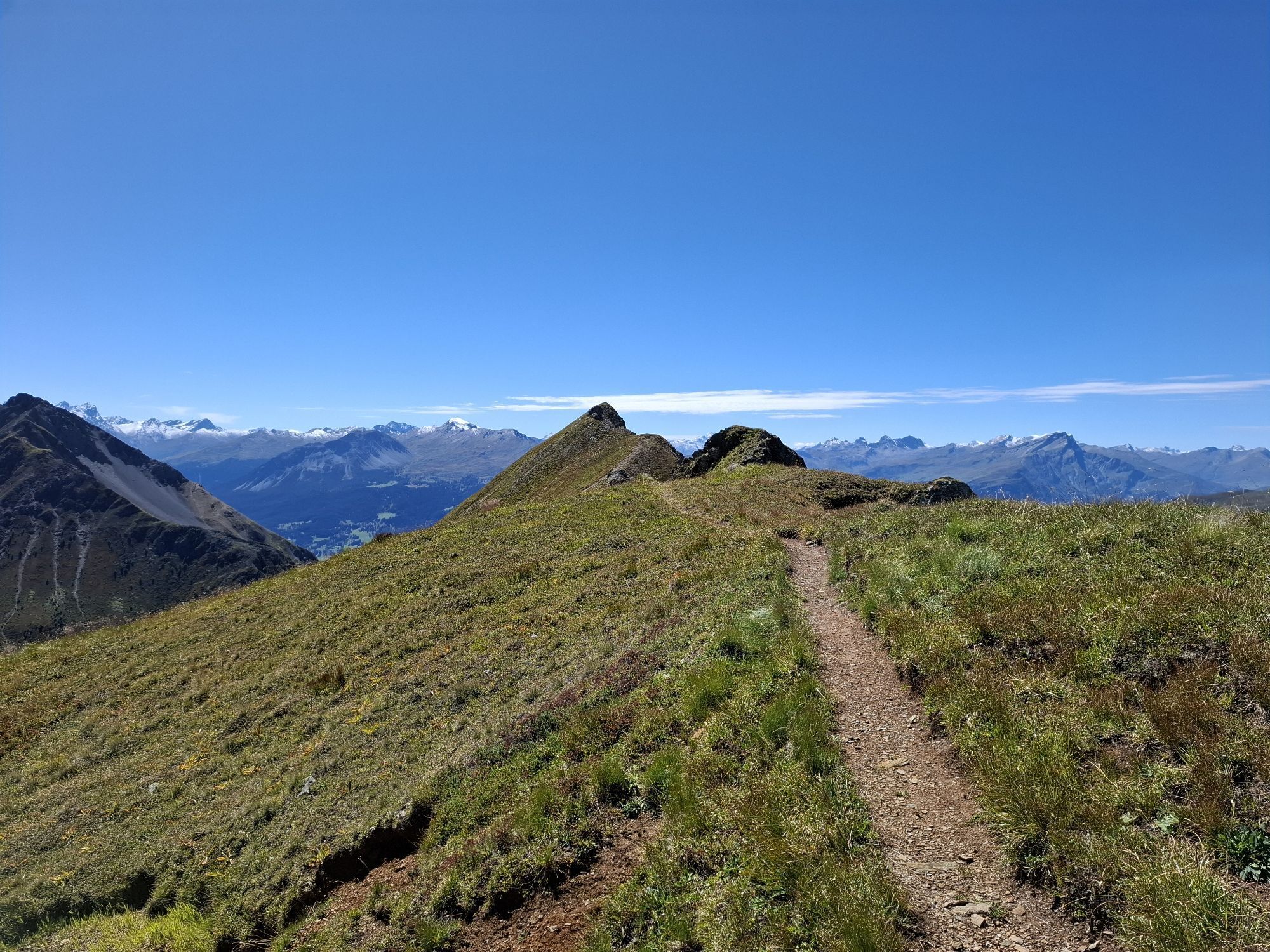
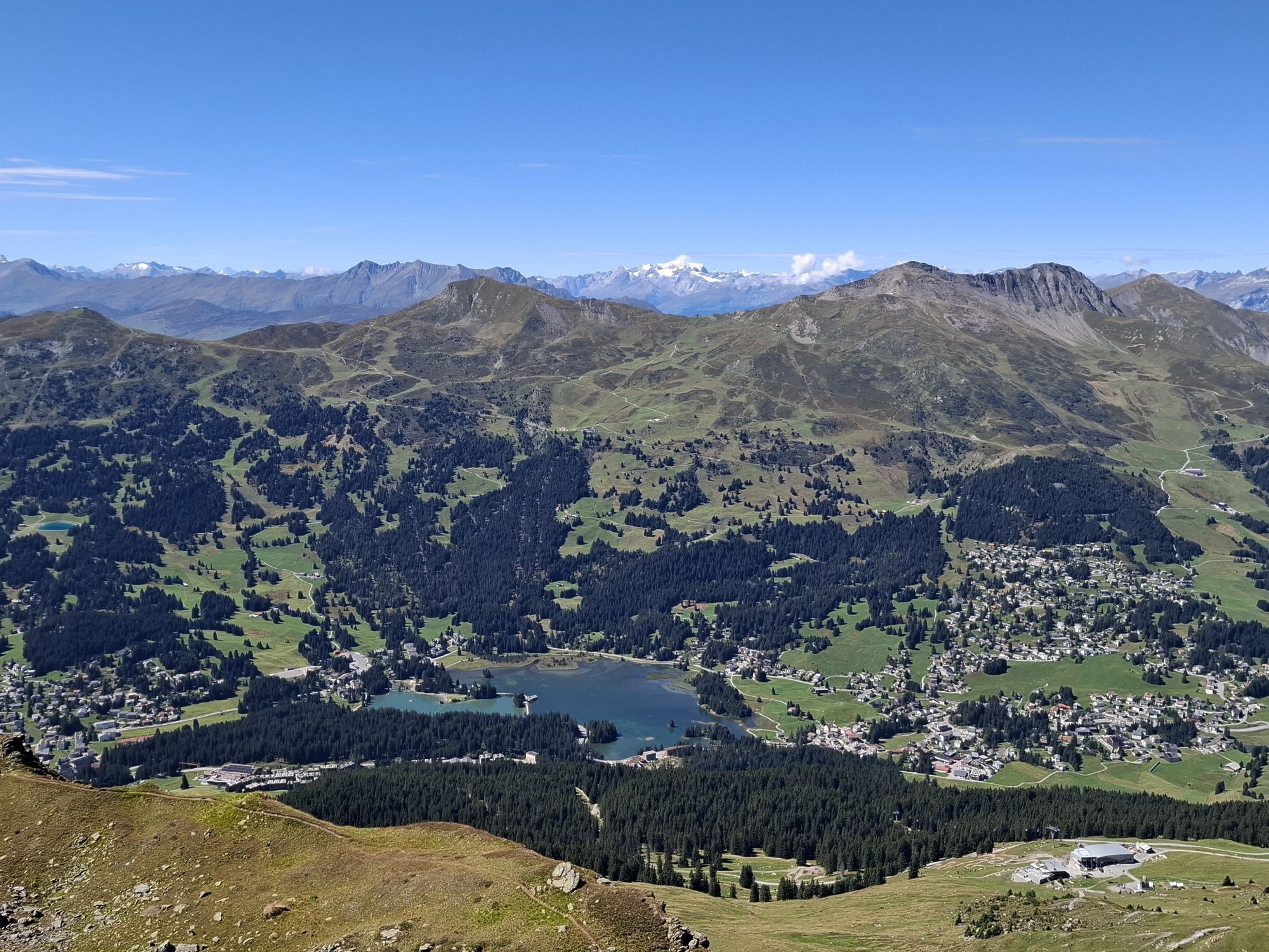
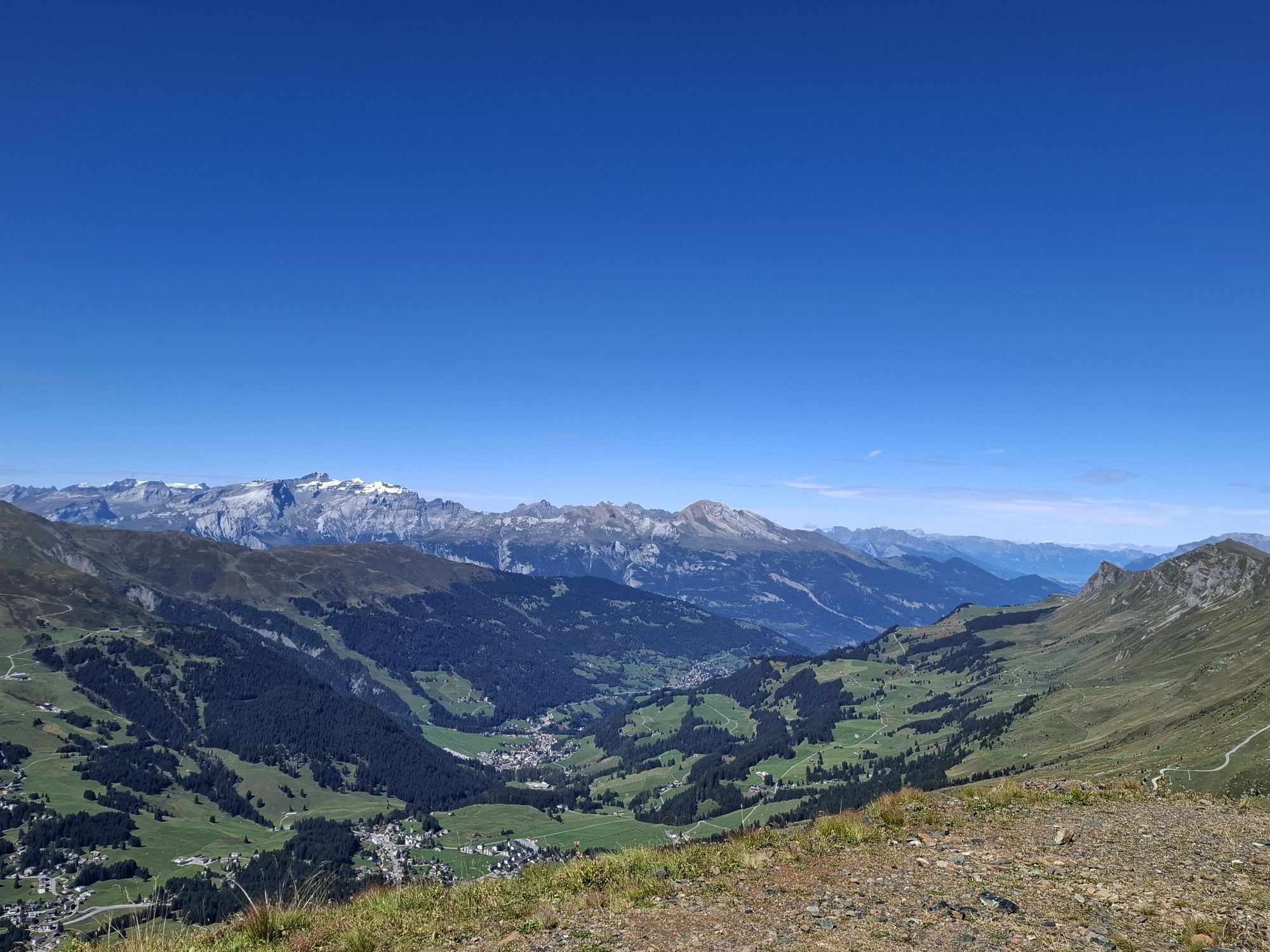
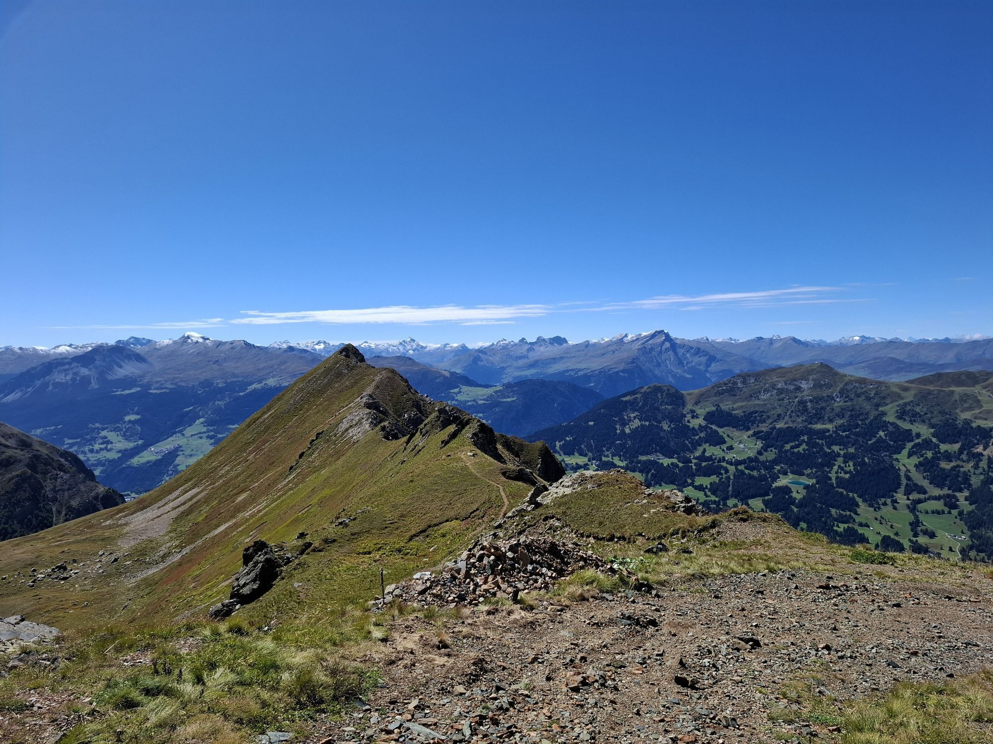
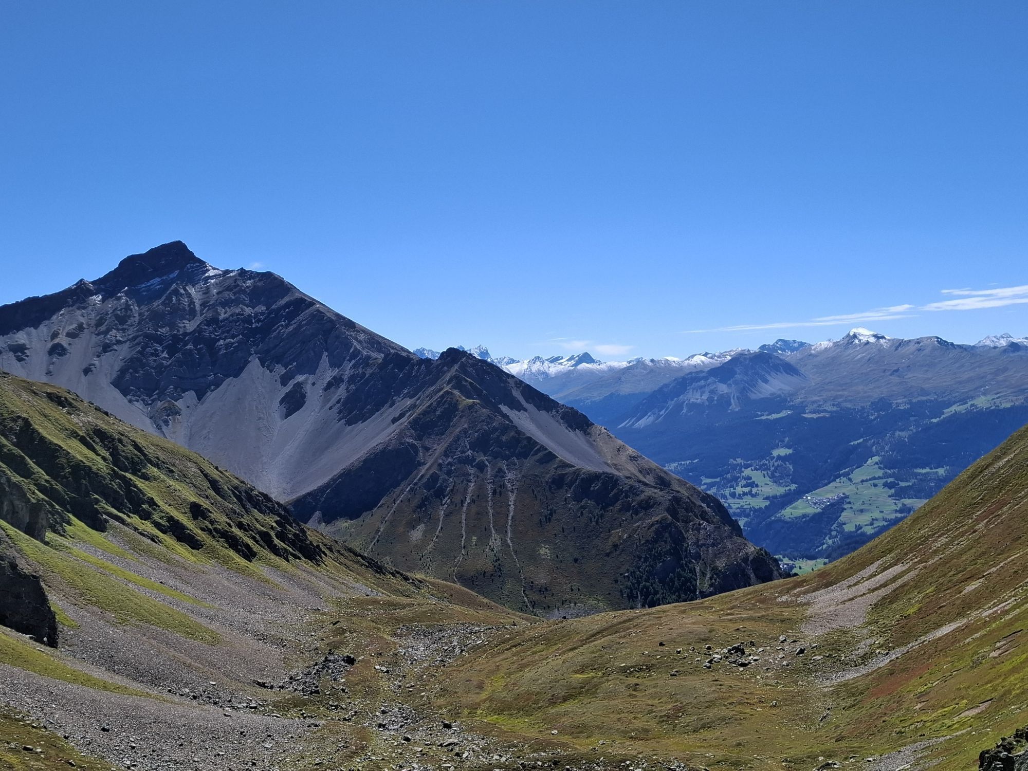
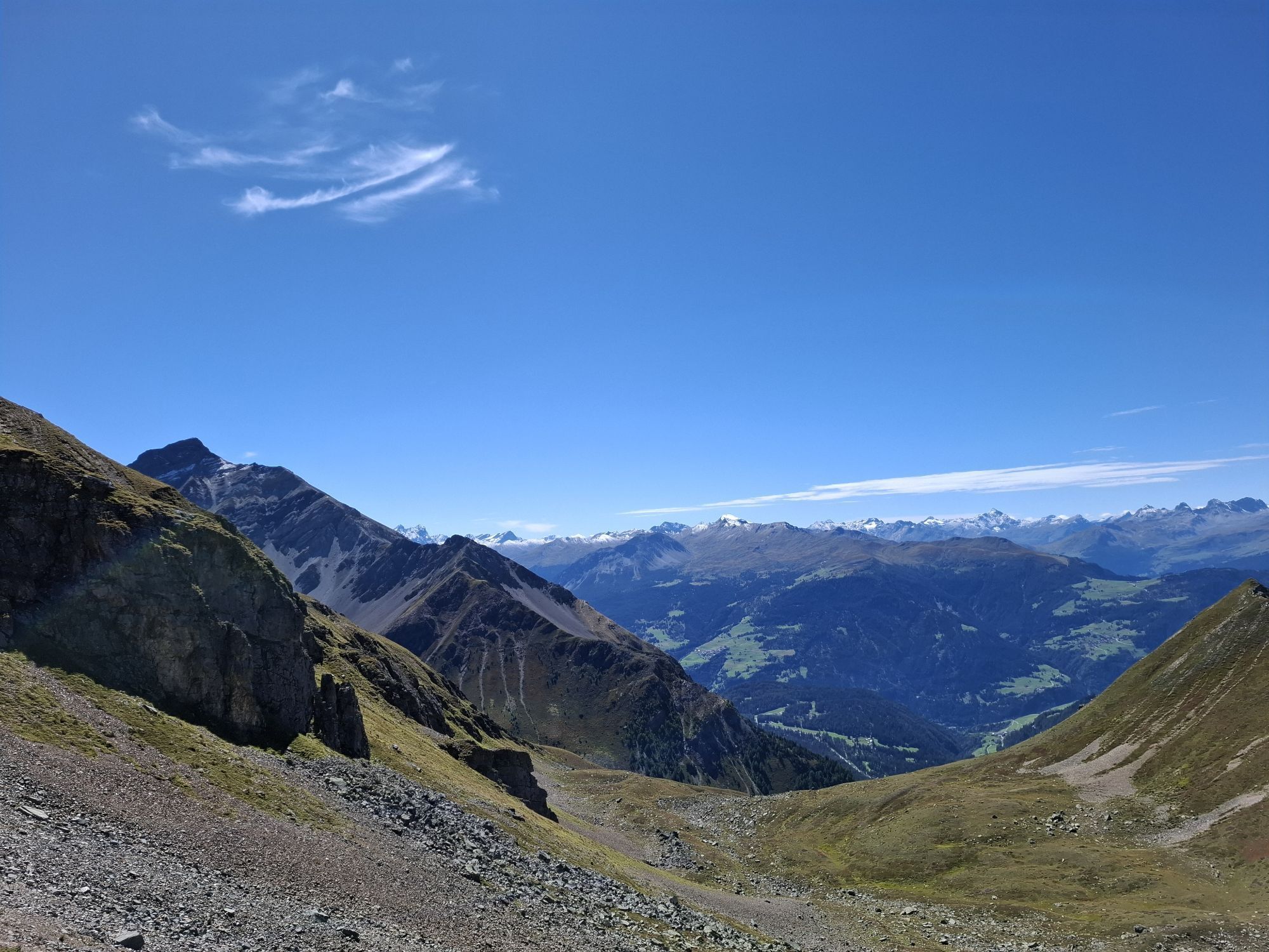
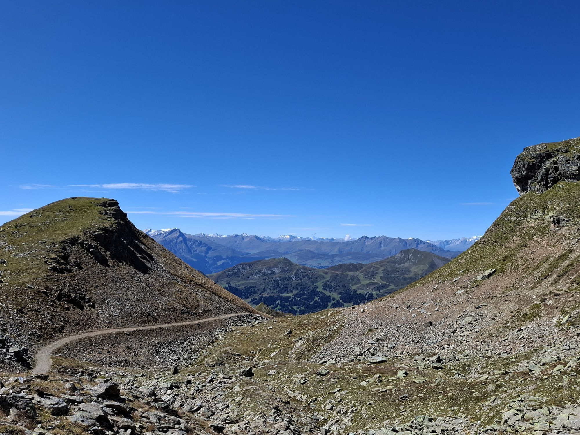
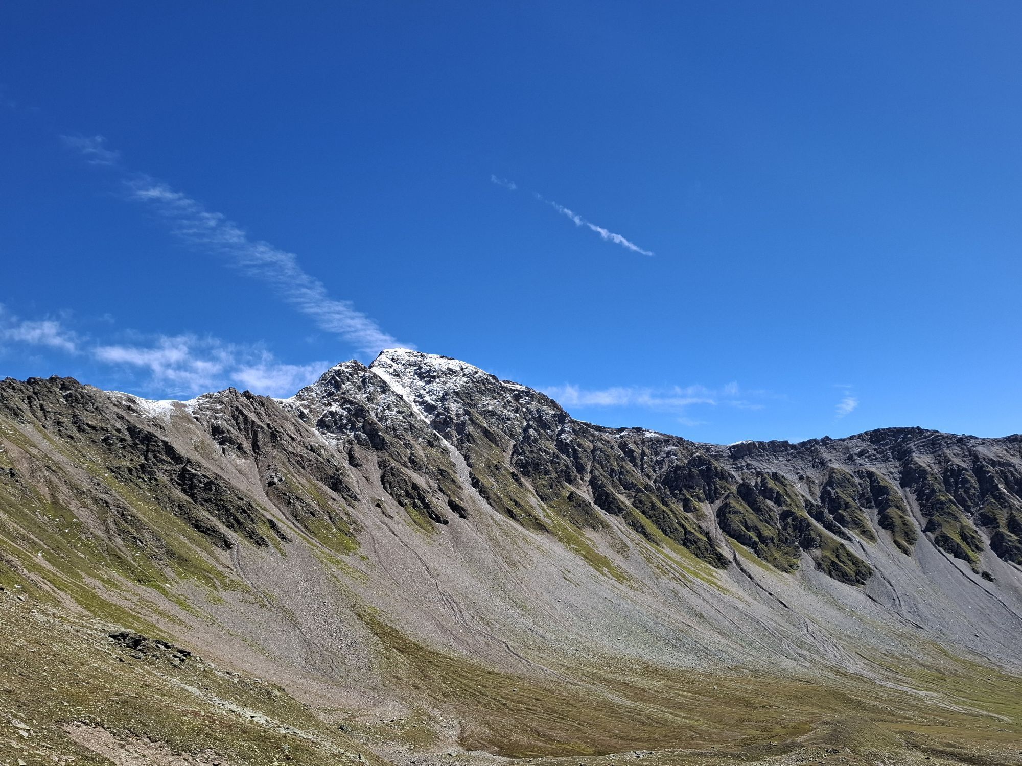
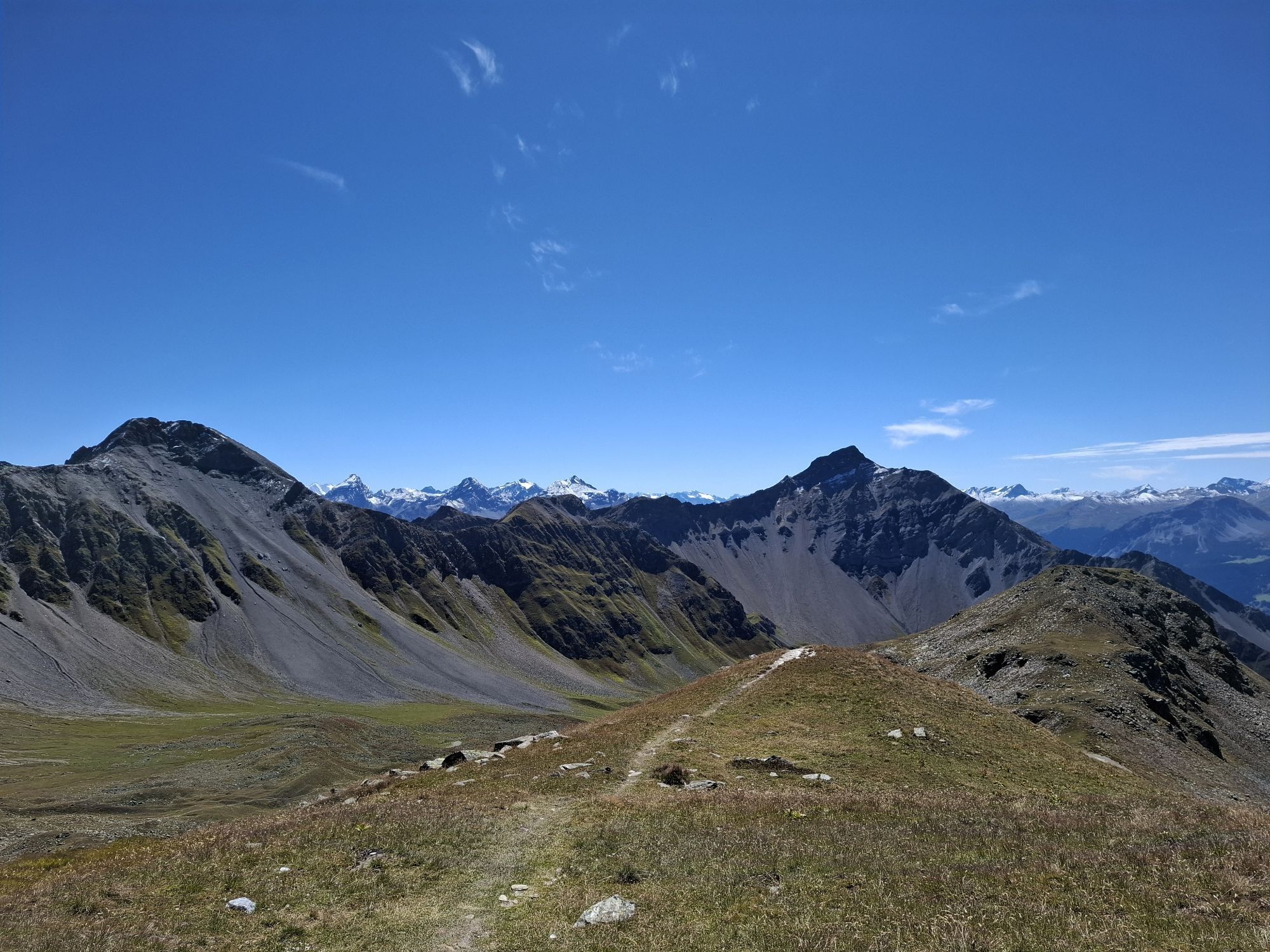
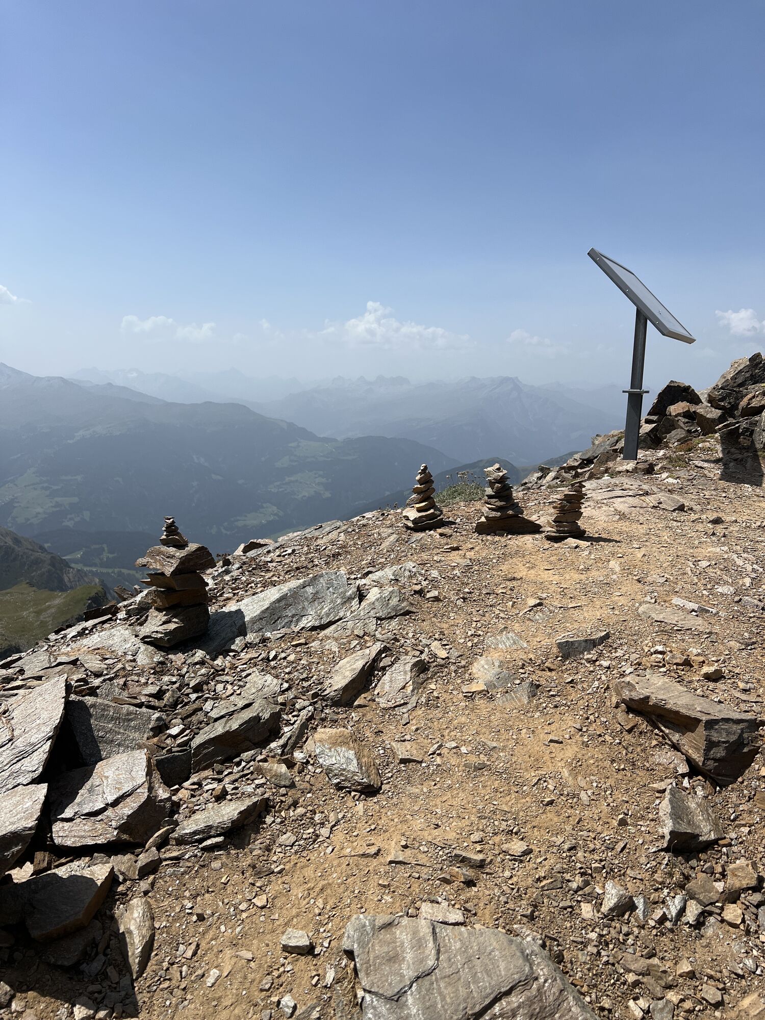
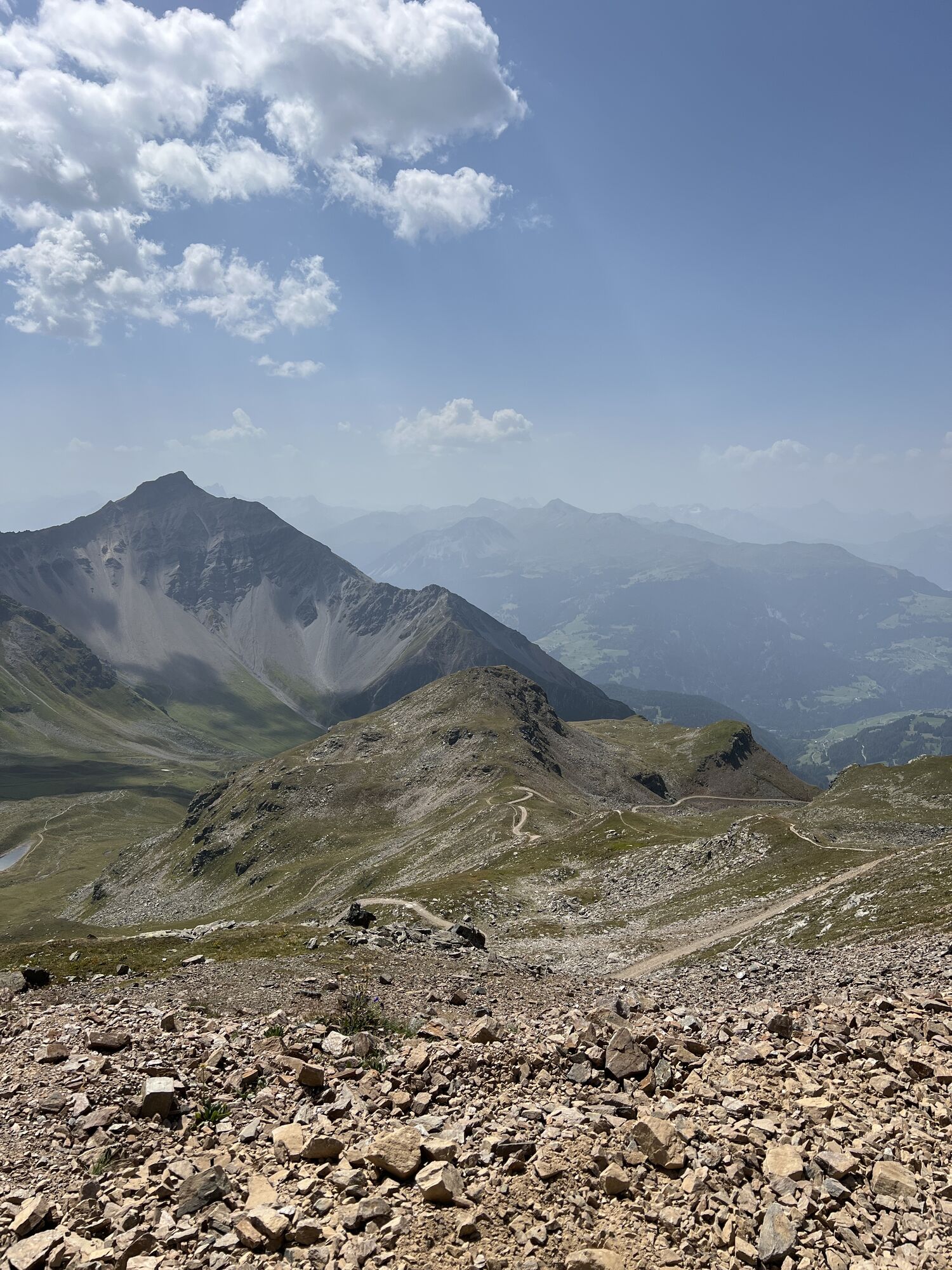
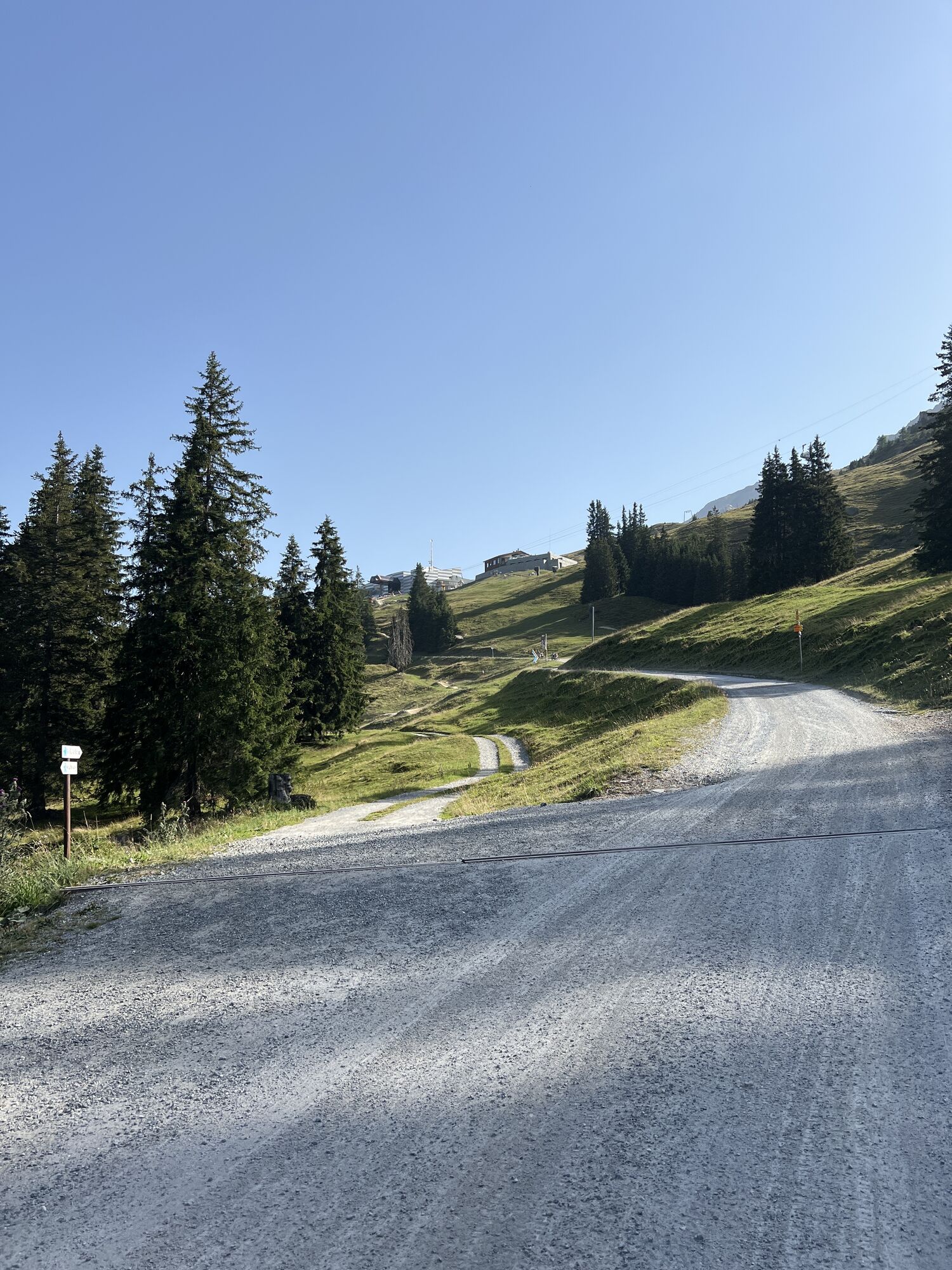
The last stage of the legendary Graubünden Marathon leads from Lenzerheide to the Parpaner Rothorn. The demanding route goes from Lenzerheide via the Sanaspans waterfall and the Scharmoin middle station...
The last stage of the legendary Graubünden Marathon leads from Lenzerheide to the Parpaner Rothorn. The demanding route goes from Lenzerheide via the Sanaspans waterfall and the Scharmoin middle station almost directly to the Rothorn. Once at the Rothorn, you take the gondola lift back down to the valley in a relaxed manner.

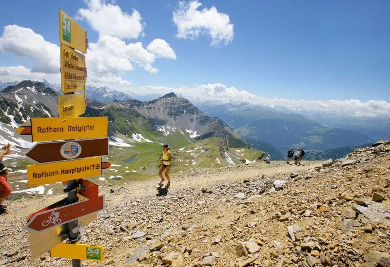

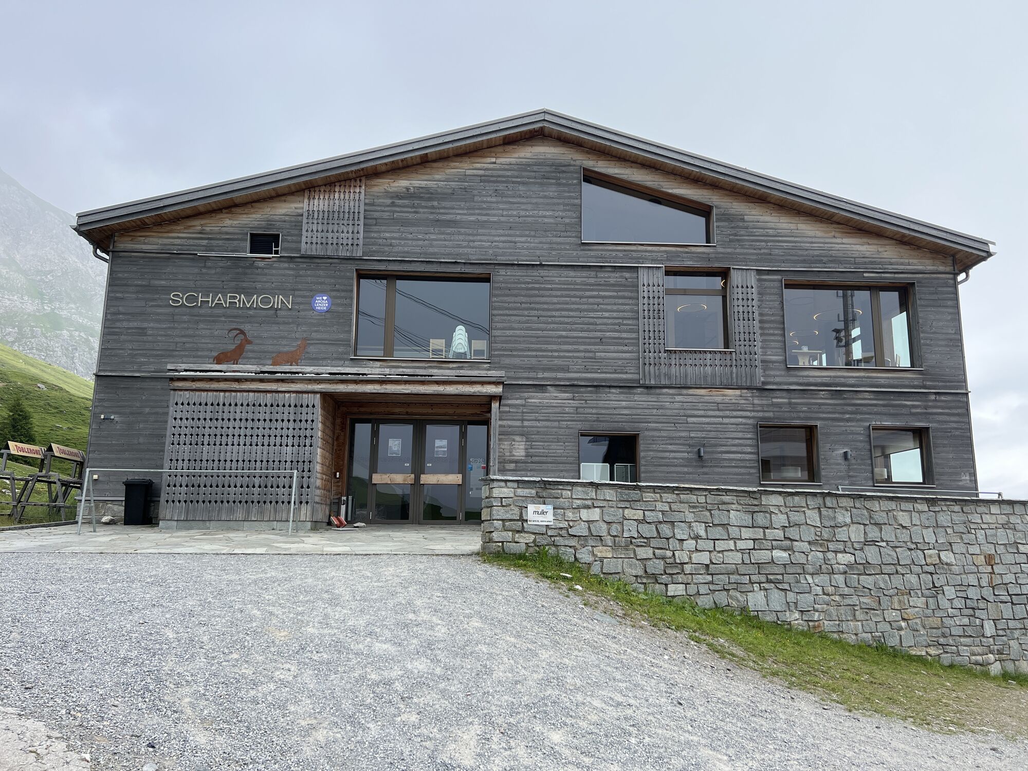
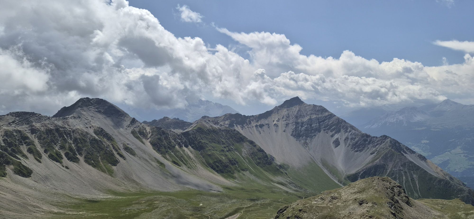
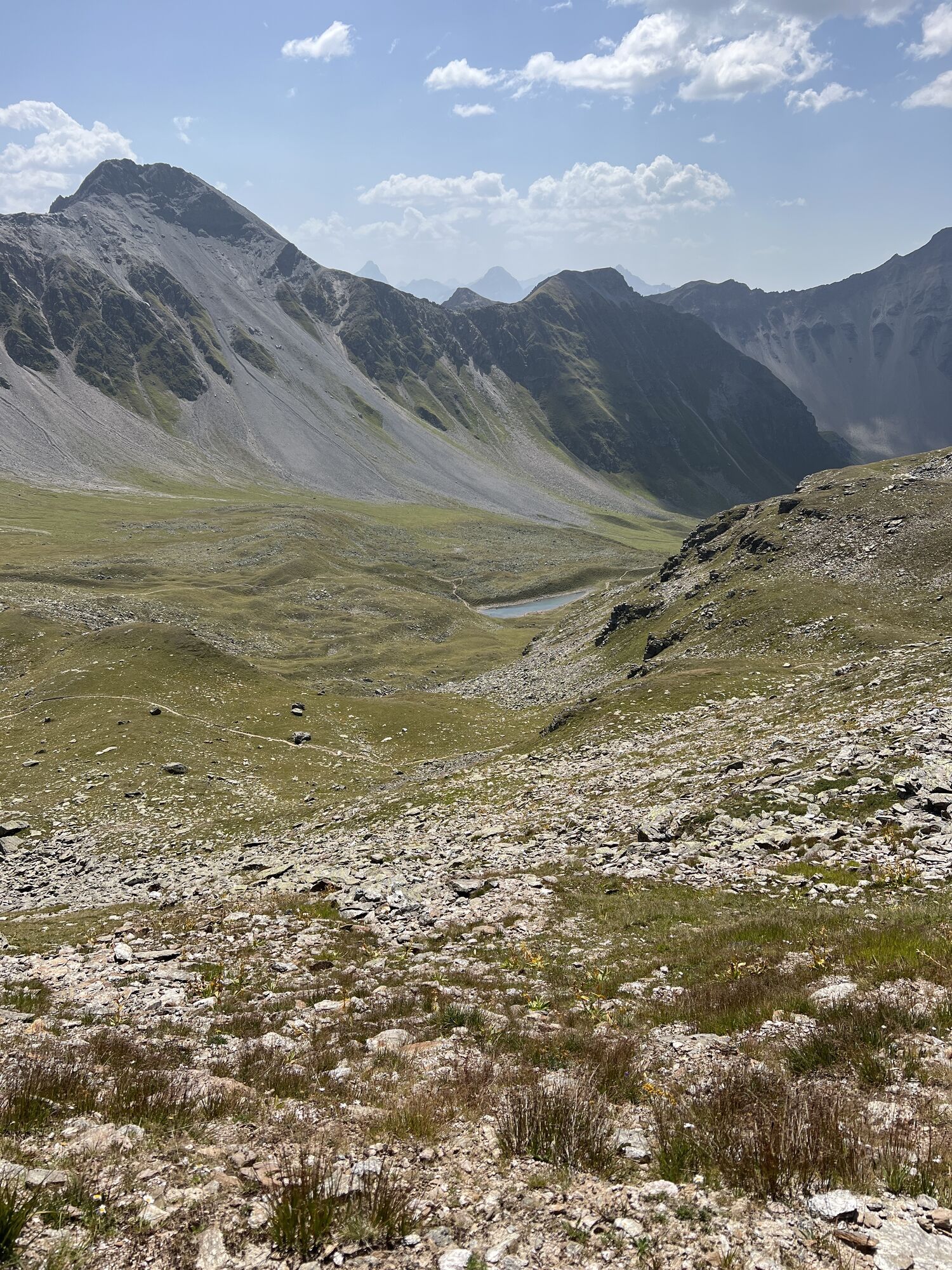
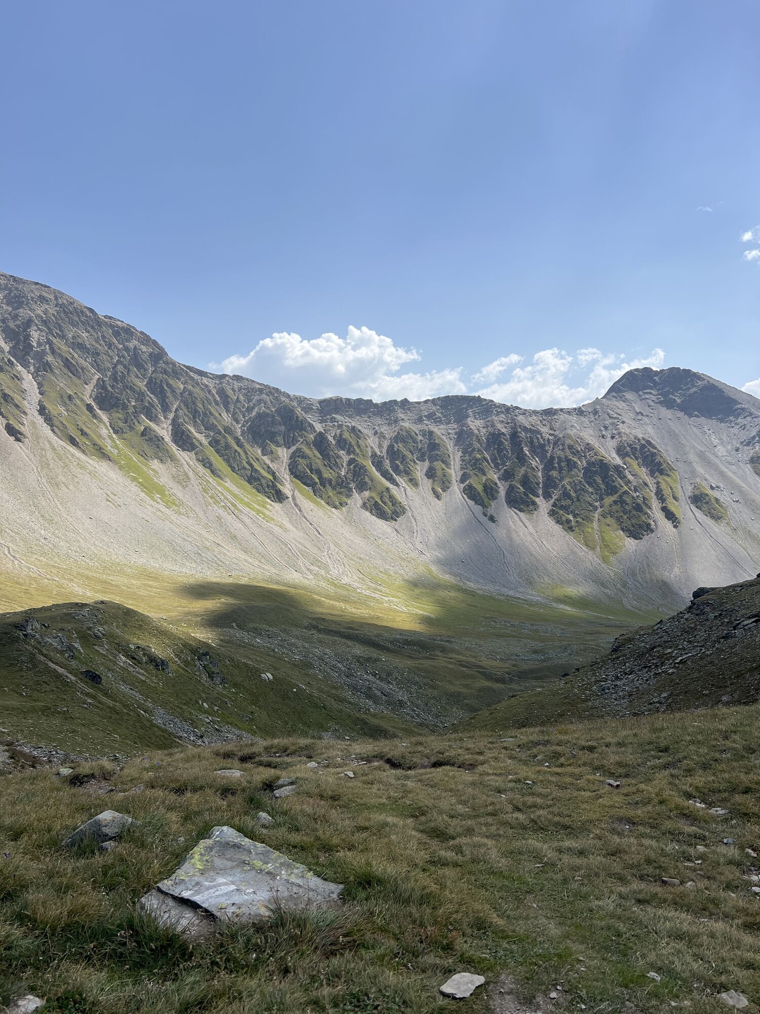
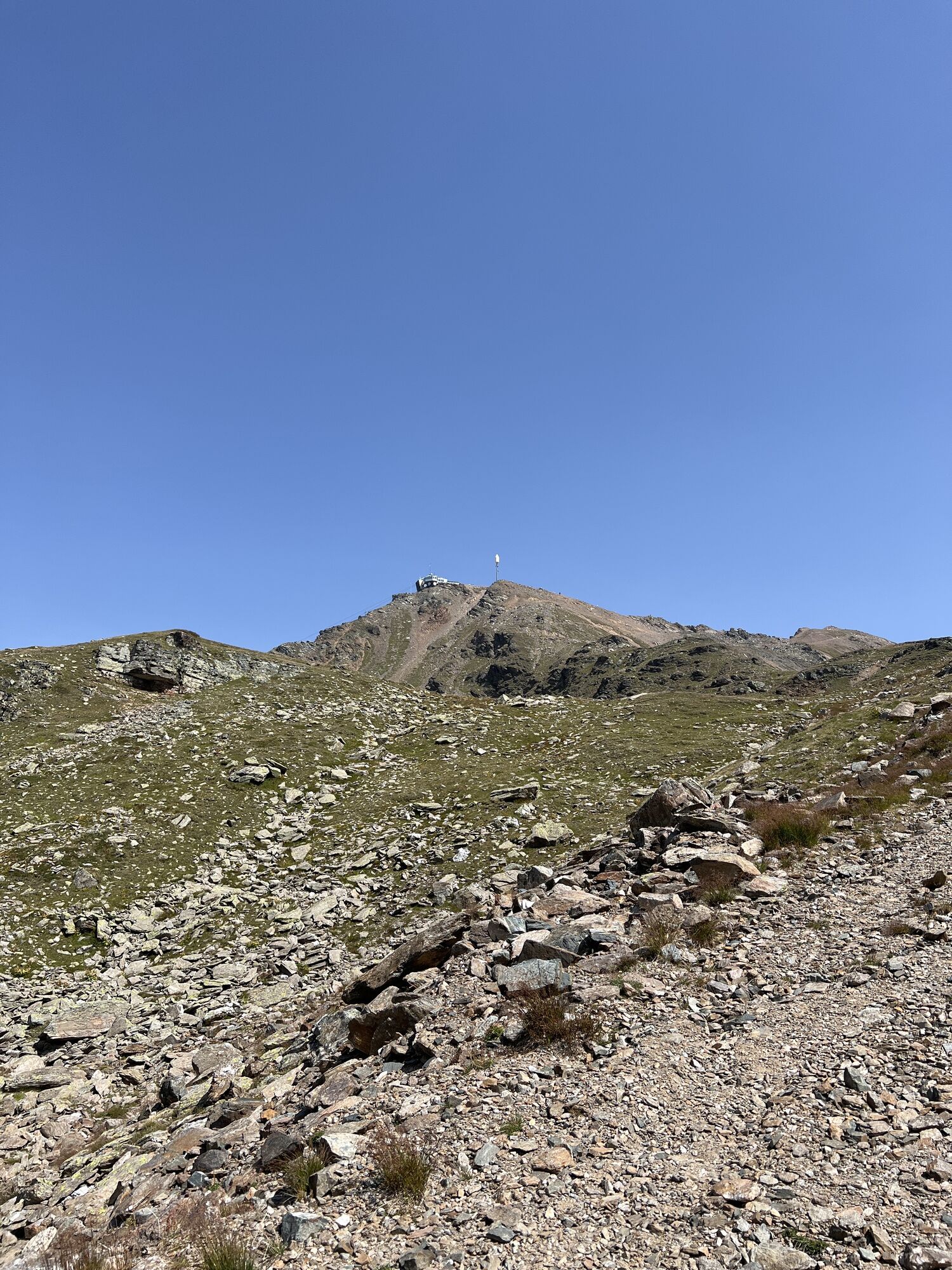
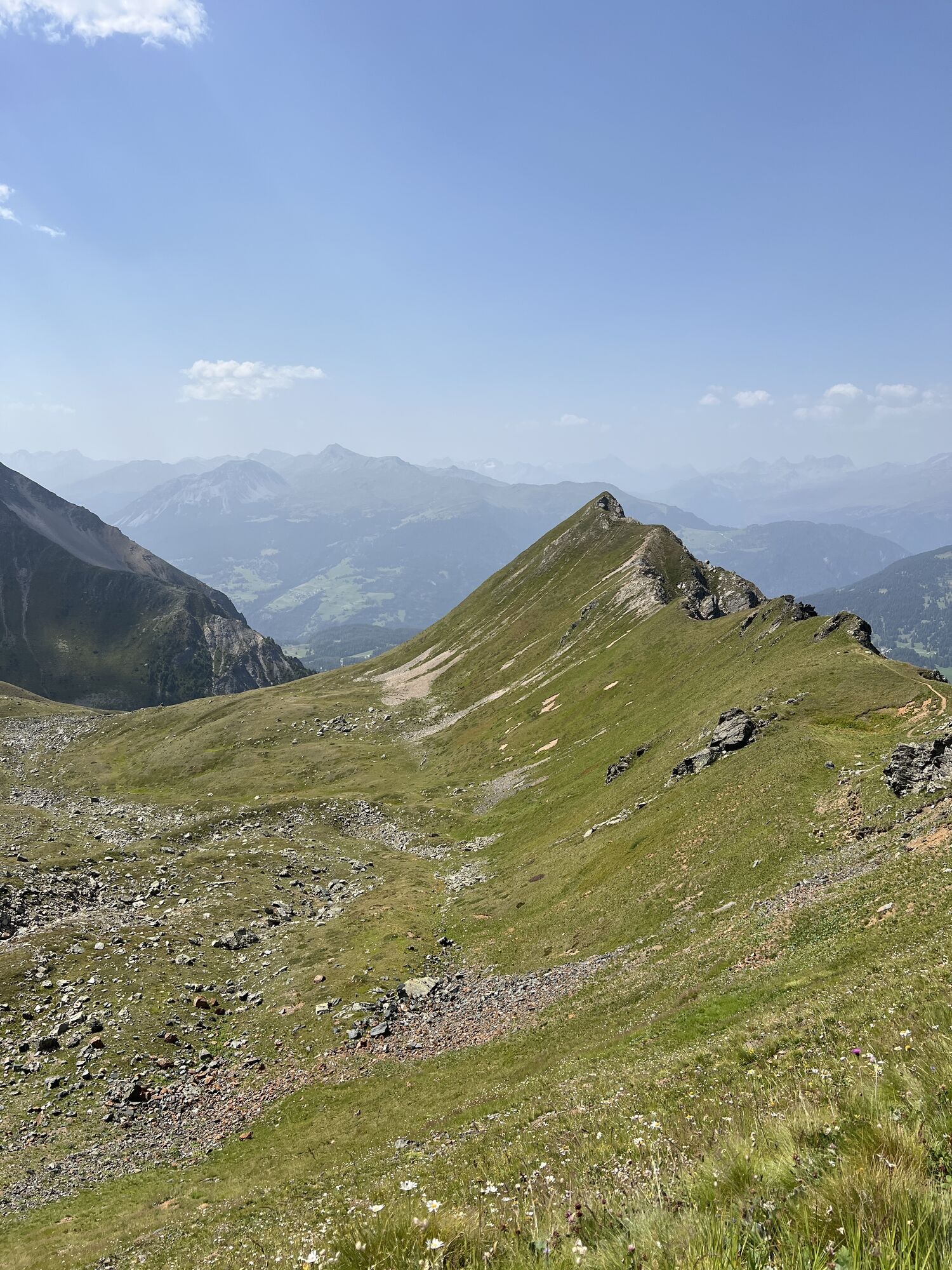
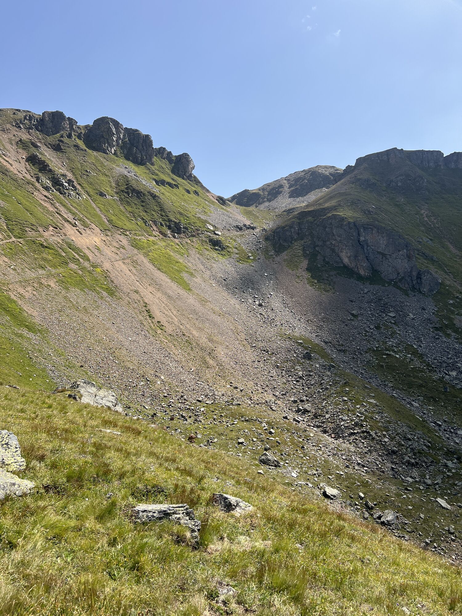
Running around the school building, you leave Lenzerheide (1478 m above sea level) again at the underpass and after the underpass run right towards the center. After the UBS building, turn left and run up a steep asphalt road. After about 100 m, turn left onto a roughly 1 m wide gravel path. After the steep gravel section, turn left onto an asphalt road, after about 25 m turn right. After another 100 m, turn left and then climb steeply again towards the waterfall. The ascent to the waterfall is narrow and very exhausting. Once at the waterfall, a beautiful high-altitude path leads to the Alp Scharmoin (1904 m above sea level) to the Rothornbahn middle station. From the middle station, about 1 km, there are many steep sections on a gravel road. After that, there is a small section of about 500 m that runs more gently. Then the final ascent begins from 2266 m above sea level over a distance of about 2.5 km up to the Rothorn summit at 2861 m above sea level.
Da
Da
Da
Observe operating times of the Rothorn 1 and 2 gondola lifts.
Spletne kamere s turneje
-
Arosa - Hörnli
-
Lenzerheide - Urdenfürggli
-
Lenzerheide - Parpaner Rothorn
-
Lenzerheide - Alp Stätz
-
Lenzerheide - Piz Scalottas
-
Lenzerheide - Talstation Rothorn
-
Lenzerheide Biathlon Arena
-
Lenzerheide Dorf
-
Lenzerheide - Heimberg
-
Lenzerheide - Heidbüel
-
Wassersportzentrum Heidsee
-
Wassersportzentrum Heidsee
Pridobite vpogled
Vedno v živo na mestu z več kot 9.500 spletnimi kamerami. bergfex Kot uporabnik Pro si lahko zdaj ogledate ustrezne spletne kamere za številne izlete v aplikaciji izleti iz. Tako si lahko neposredno ogledate trenutne razmere.
Priljubljeni izleti v okolici
-
Arosa-Schwellisee-Älplisee-Parpaner Rothorn
Pohodništvo 12.3 km -
4.8
749 Val Meltger suspension bridge trail
srednjaPohodništvo 8.30 km -
3.5
Arosa-Maienfelder Furgga-Stafelalp-Davos
srednjaPohodništvo 15.9 km -
4.7
Arosa-Hörnli-Parpaner Rothorn-Lenzerheide
Pohodništvo 11.9 km -
5.0
Arosa-Hörnli-Urdenfürrgli-Alp Scharmoin-Lenzerheide
srednjaPohodništvo 15.3 km -
5.0
Eichhörnliweg Arosa
svetlobaTematska pot 1.72 km -
5.0
Arosa-Erzhornsattel-Arosa
Pohodništvo 14.9 km -
5.0
767 Alteinsee Schiesshorn
srednjaPohodništvo 11.9 km -
Alp Sanaspans - Rothorn
težkoPohodništvo 13.6 km -
745 Family Trail Lenzerheide
svetlobaPohodništvo 9.36 km
Pohodništvo in sledenje


Ne zamudite ponudb in navdiha za naslednje počitnice
Vaš e-poštni naslov je bil dodan na poštni seznam.





