







A la riva dal Rom – on the banks of the Rom [SwitzerlandMobil no. 801]
The hiking trail «A la riva dal Rom» starts at the source of the Rombach in Süsom-Tschierv and leads to Müstair. It is clearly marked with signposts 801. The hike passes by flat moors, overcomes steep...
The hiking trail «A la riva dal Rom» starts at the source of the Rombach in Süsom-Tschierv and leads to Müstair. It is clearly marked with signposts 801. The hike passes by flat moors, overcomes steep stages of the stream and leads along the lower river course through mysterious, elf-inhabited floodplains.
The hike is easy to manage, offers many rest opportunities, two playgrounds with fire pits directly by the water (in Valchava and Müstair) and several restaurants in the villages near the route. From Fuldera Furom to Valchava there are sections that can be challenging for people with fear of heights. The section through the plain between Tschierv and Fuldera or in Müstair between Schützenhaus and Schulhaus is also suitable for strollers. The hike can be done in stages.
The handy and richly illustrated information brochure «A la riva dal Rom – a river writes history» turns the hiking trail into a themed route. It conveys the eventful history, the special habitats and the legends around the Rombach. The brochure also contains a detailed hiking map and is available free of charge at the guest information or the Center da Biosfera.
Download of the information brochure:
Brochure «A la riva dal Rom – a river writes history»

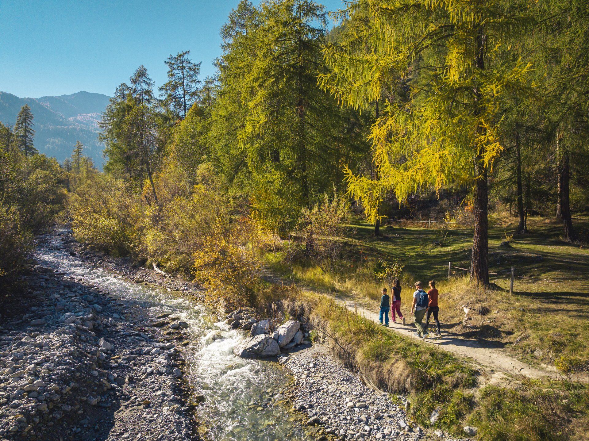
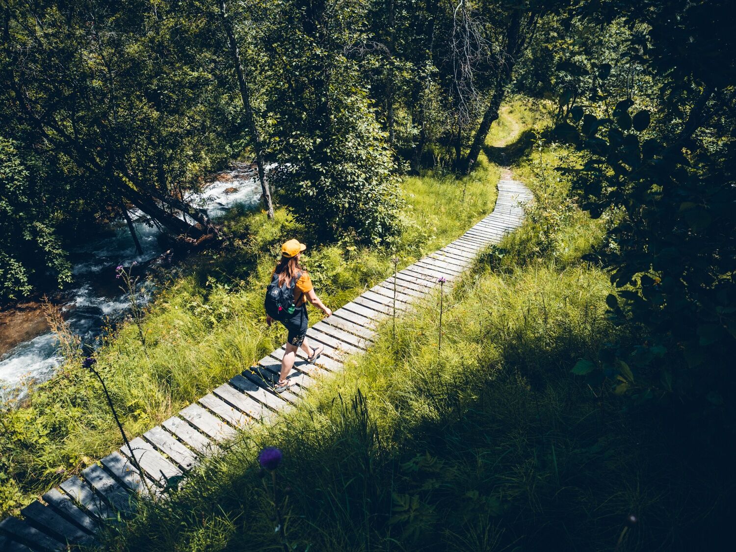
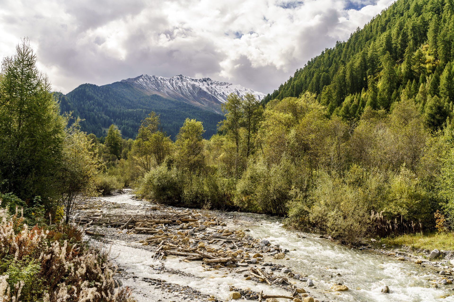
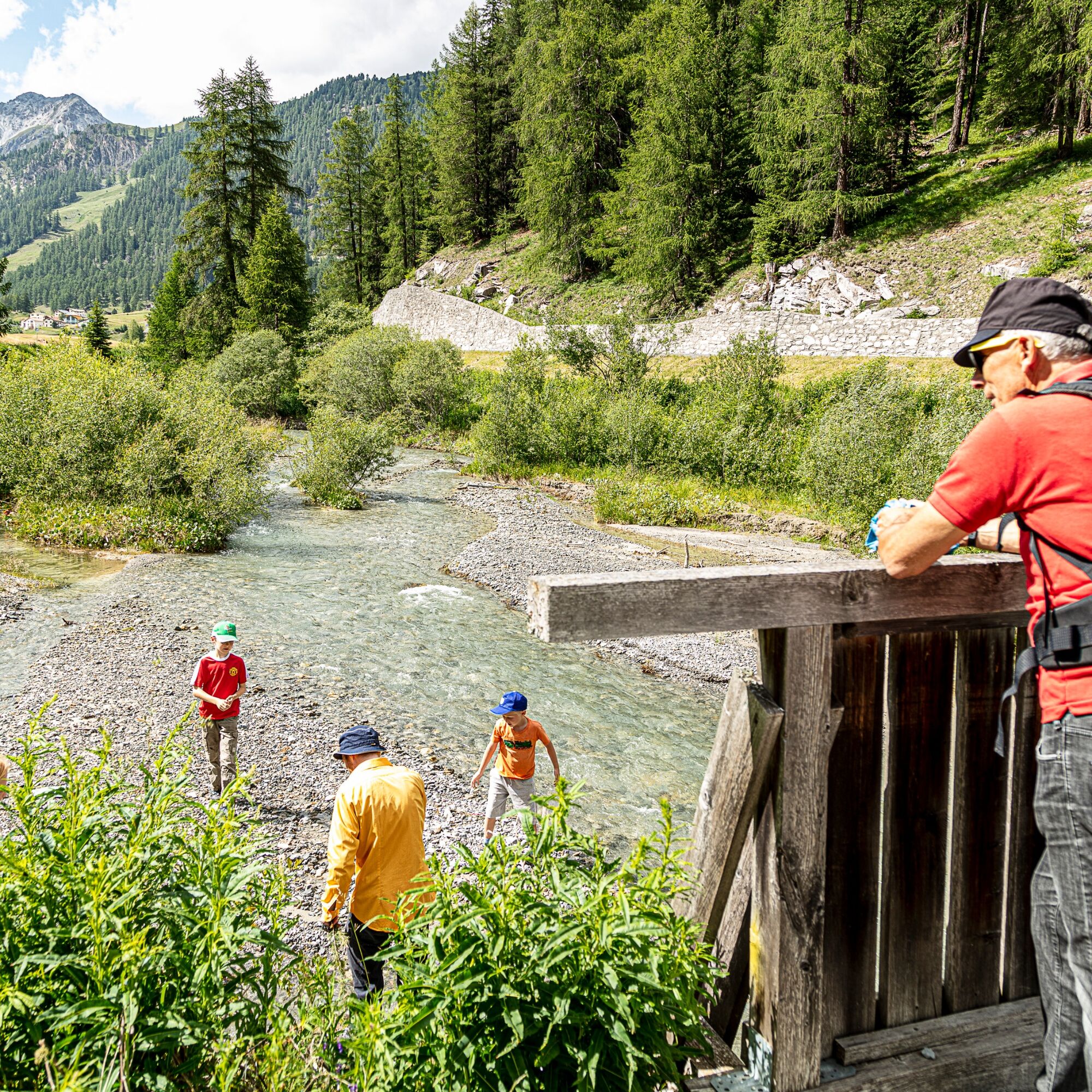
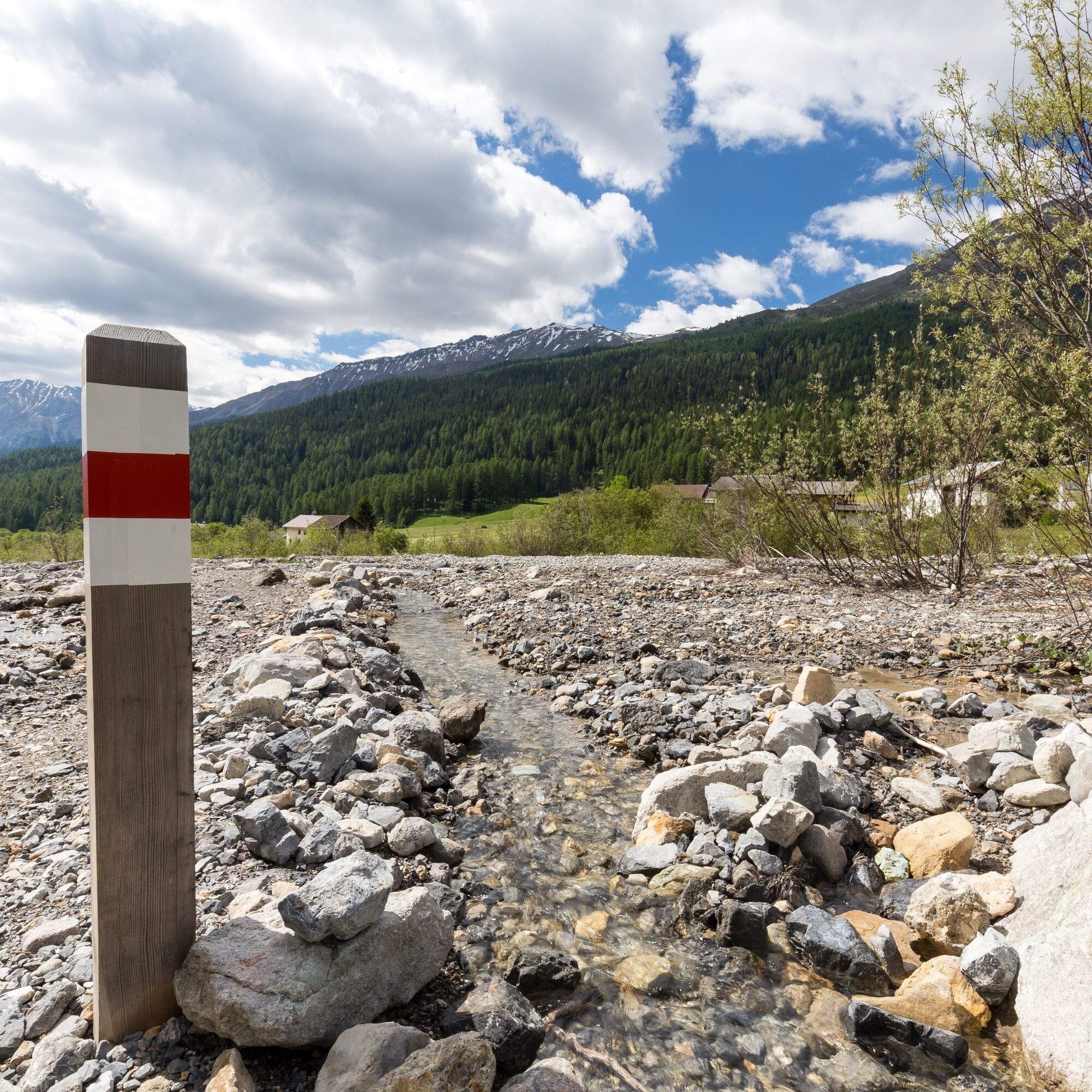
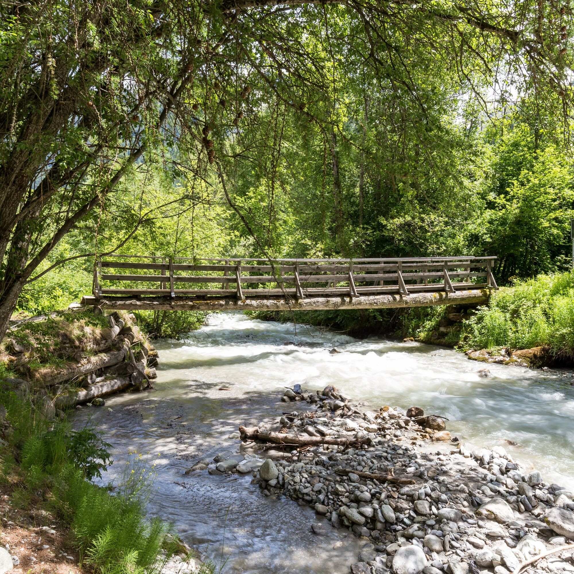

Follow signpost 801 from the PostBus stop Süsom Tschierv. The path leads along the Rombach to Müstair.
Da
Da
From the North: via Landquart – Klosters by car shuttle through the Vereina Tunnel (Selfranga - Sagliains) or via the Flüela Pass to Zernez on H27. From Zernez on H28 into the Val Müstair to Tschierv. (35 minutes driving time from Vereina south portal)
From the East: via Reschen Pass (Nauders) on SS40 to Mals. From Mals on SS41 to the Swiss border at Müstair. From Müstair on H28 to Tschierv.
From the South: via Bolzano and Meran on SS40 to Mals. From Mals on SS41 to the Swiss border at Müstair. From Müstair on H28 to Tschierv.
Hourly by the Rhaetian Railway (from Chur, Landquart/Prättigau or from the Upper Engadine) to Zernez
Hourly by PostBus (from Zernez or Mals) to the PostBus stop Tschierv, Süsom Tschierv
Free parking in Tschierv
Pridobite vpogled
Vedno v živo na mestu z več kot 9.500 spletnimi kamerami. bergfex Kot uporabnik Pro si lahko zdaj ogledate ustrezne spletne kamere za številne izlete v aplikaciji izleti iz. Tako si lahko neposredno ogledate trenutne razmere.
Priljubljeni izleti v okolici
-
5.0
Mountain restaurant Plantaptasch (without Lift)
srednjaPohodništvo 3.42 km -
3.7
Payerhütte 3020m
Pohodništvo 6.98 km -
4.3
National Park: Margunet
svetlobaPohodništvo 7.76 km -
4.5
Sonnenaufgang auf der Rötelspitze im Nationalpark Stilfserjoch
Pohodništvo 2.02 km -
5.0
Wanderung/Aufstieg zur Payerhütte
svetlobaPohodništvo 15.9 km -
3.6
Easy hiking rout to the top of the Watles Moutain (2.550 m)
srednjaPohodništvo 2.35 km -
5.0
Ortler über Meraner Weg (vom Tal/Trafoi)
težkoVisokogorska tura 11.9 km -
4.5
Rundwanderweg Wattles und Sesvenna
svetlobaPohodništvo 16.4 km -
3.5
Watervallen wandeling
svetlobaPohodništvo 4.95 km -
3.4
Sta.Maria, Prà da Vau - Lai da Rims - Alp Sot - Prà da Vau
težkoPohodništvo 14.7 km
Pohodništvo in sledenje


Ne zamudite ponudb in navdiha za naslednje počitnice
Vaš e-poštni naslov je bil dodan na poštni seznam.





